Satellites Expose 5,000 Square Miles of Antarctic Grounded Ice Loss Over Last 30 Years
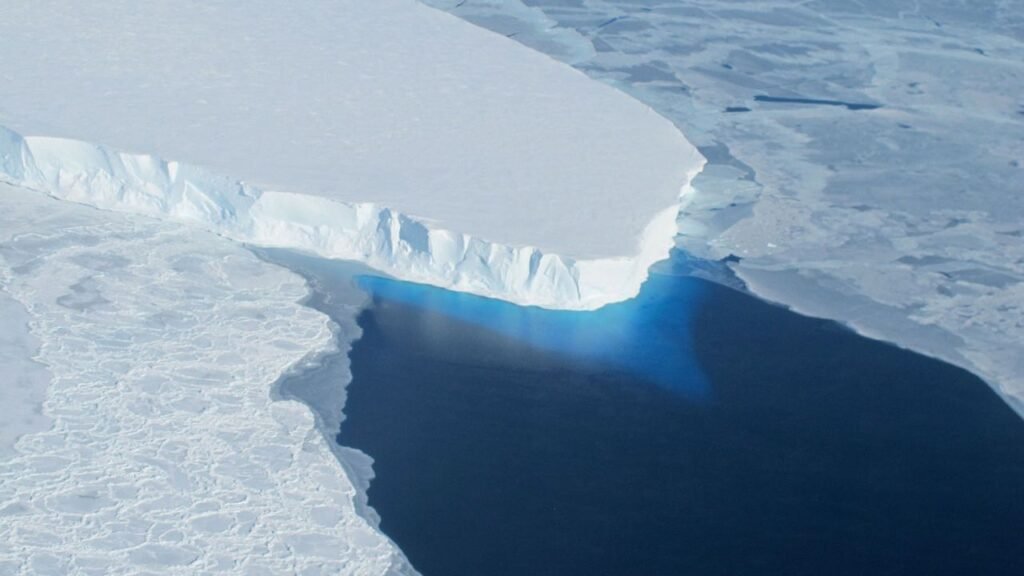
Grounding Lines Shift, Revealing Ice Sheet Vulnerabilities (Image Credits: Cdn.mos.cms.futurecdn.net) Antarctica – A detailed analysis of three decades of radar satellite data has revealed the retreat of nearly 5,000 square miles of grounded ice, highlighting vulnerabilities driven by warming oceans.[1] Grounding Lines Shift, Revealing Ice Sheet Vulnerabilities Scientists delivered a landmark assessment by mapping grounding ...