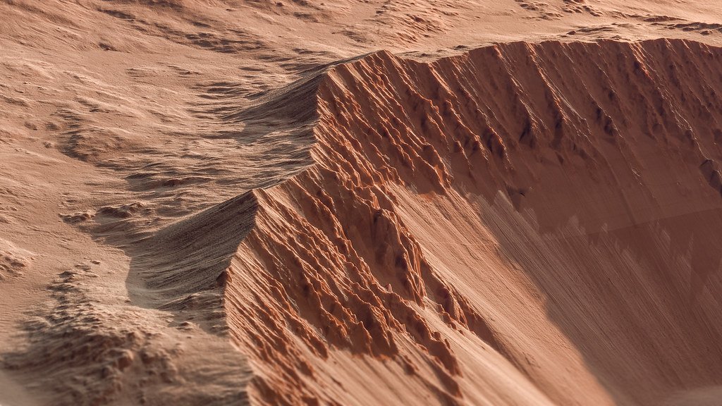
A Stable Shelf Emerges from Orbital Data (Image Credits: Flickr)
Researchers have pinpointed a distinctive geological band on Mars that mirrors the remnants left by a drained ocean on Earth. This feature, likened to a bathtub ring, suggests a vast body of water once occupied the planet’s northern lowlands. The finding revives debates about Mars’ watery past and its potential to harbor life billions of years ago.[1][2]
A Stable Shelf Emerges from Orbital Data
Caltech geologists Abdallah Zaki and Michael Lamb identified the band through topographic maps gathered by NASA’s Mars Global Surveyor. The spacecraft’s laser altimeter captured detailed elevation data during its decade-long orbit. Their analysis revealed a flat expanse wrapping the northern hemisphere’s contours.[1]
This structure spans several hundred kilometers wide and aligns with predicted shorelines. Unlike fleeting lakes, such a formation requires prolonged sediment buildup from rivers and waves. River deltas, triangular sediment fans, cluster along its edge, reinforcing the oceanic signature.[2]
Modeling Earth’s Oceans to Decode Mars
The team first simulated Earth’s oceans receding to isolate enduring landforms. Continental shelves persisted as broad, level benches despite sea-level shifts. “The shelf is a new observation that ties together evidence of what the coastal zone would have looked like,” Zaki noted.[1]
Applying this to Mars data uncovered a matching band. The ocean likely filled the northern lowlands, covering about one-third of the surface – roughly 13 percent of Earth’s ocean area. Formation demanded millions of years of stability, shaped by sediment from rivers and coastal currents.[3]
Building on Layers of Past Evidence
Prior missions documented river valleys, lakebeds, and possible shorelines, but elevations varied, fueling skepticism. China’s Zhurong rover detected buried sandy beaches via ground-penetrating radar. NASA’s Perseverance spotted mineral patterns hinting at ancient water in Jezero Crater.[2]
- Deformed shorelines from Viking orbiters in the 1970s.
- River deltas mapped across the northern plains.
- Underground water reserves detected by NASA’s InSight lander.
- “Leopard spots” in sediments suggesting evaporation cycles.
These align with the new shelf, painting a picture of a dynamic hydrological system nearly 3.7 billion years ago.
Implications for a Wetter, Earth-Like Mars
The ocean evaporated as Mars cooled, its thin atmosphere unable to retain heat or water. Billions of years of wind and volcanism eroded subtler traces, but the shelf endured without plate tectonics to reshape it. “Taken together, the evidence points toward a long-lived ancient ocean,” Lamb stated. “This means that Mars once looked much more like the Earth.”[2]
Sustained water across vast regions boosts prospects for past habitability. Sediments may preserve microbial fossils, much like Earth’s coastal records. The study, published in Nature on April 15, proposes rover targets for sedimentary analysis.[1]
| Feature | Mars | Earth Analog |
|---|---|---|
| Location | Northern lowlands | Continental margins |
| Width | Hundreds of km | Similar scale |
| Formation Time | Millions of years | Geologic timescales |
Key Takeaways
- A “bathtub ring” shelf supports a stable ocean spanning one-third of Mars.
- Evidence integrates deltas, beaches, and orbital topography.
- Long duration implies widespread habitable zones billions of years ago.
This discovery reframes Mars’ history from arid wasteland to ocean world. Future missions, like ESA’s Rosalind Franklin rover landing in 2030, could drill into these deposits for definitive proof. What do you think about Mars’ lost ocean? Tell us in the comments.