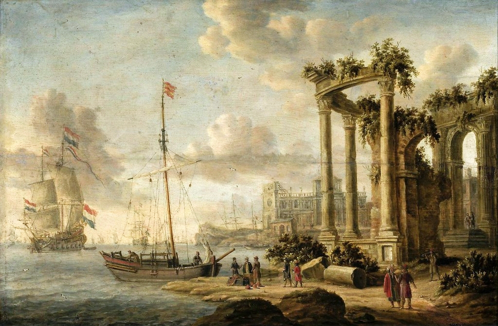
You’ve seen this photograph before: sun-bleached stone steps disappearing into turquoise water, an ancient quay still kissed by the tide. It’s the postcard version of history, and for at least a dozen of the world’s most famous harbours, it’s simply not true anymore.
Geologists have spent decades drilling sediment cores, mapping fossil shorelines, and cross-checking marine fossils against the historical record. What they’re finding is stranger than the postcards let on. Some of antiquity’s busiest ports now sit kilometres from open water, buried under pine forests, wheat fields, and parking lots. Others didn’t move inland at all – they sank, or the ground beneath them physically rose out of the sea. Here are twelve harbours where the coastline and the ruins have completely parted ways, and the evidence that finally forced experts to admit it.
#12 – Ostia Antica, Italy: Rome’s “Seaside” Port Now Stranded Inland
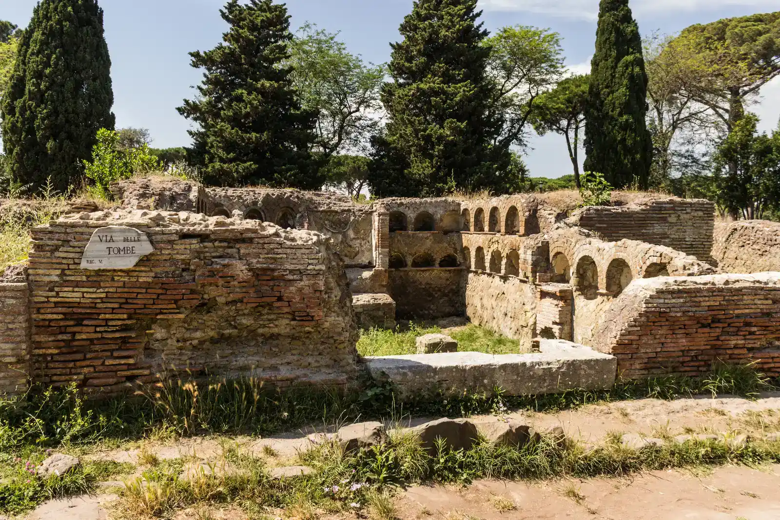
Ostia Antica is still sold in travel brochures as “Rome’s ancient seaport,” yet the Mediterranean today lies roughly 3 km (about 2 miles) away from the old docks. The Tiber River no longer laps at Ostia’s quays. Visitors now walk through fields and pine groves just to reach the ruins.
Geologists have drilled cores around the harbour basin and found marine sediments where there is now dry land – proof this was once a working coastal port, not a river town that never saw open-sea traffic. Two forces explain the shift: nearly 2,000 years of Tiber silt pushing the shoreline outward, and subtle land uplift changing local water depth. Today’s Ostia feels almost pastoral, but its warehouses, mosaics, and harbour baths only make sense beside a busy, breathing shoreline.
Fast Facts
- Current distance from ruins to open sea: roughly 3 km (2 miles)
- Main cause: nearly 2,000 years of Tiber River silt deposition
- Secondary factor: gradual local land uplift
- Key evidence: marine sediment cores pulled from beneath dry farmland
#11 – Portus, Italy: The Hexagonal Basin That Lost Its Sea
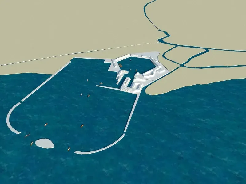
Just north of Ostia sits Portus, Emperor Trajan’s enormous artificial harbour complex. On satellite images, the famous hexagonal basin is now unmistakably landlocked, ringed by fields and roads where seawater once filled an intricate system of docks.
Core samples from the basin floor tell a different story than the farmland suggests – marine mollusks and harbour sludge confirm this was a true seaport, linked to the Mediterranean by channels. The sea didn’t vanish in some dramatic event; it retreated slowly behind a thickening belt of sediment and reclaimed land. Geophysical surveys have even traced former canals buried under the fields, and several specialists now argue Portus was already fighting shallow, silting waters by the late Roman period – centuries before anyone called it “lost.”
#10 – Ephesus, Turkey: A “Harbour City” With No Sea in Sight
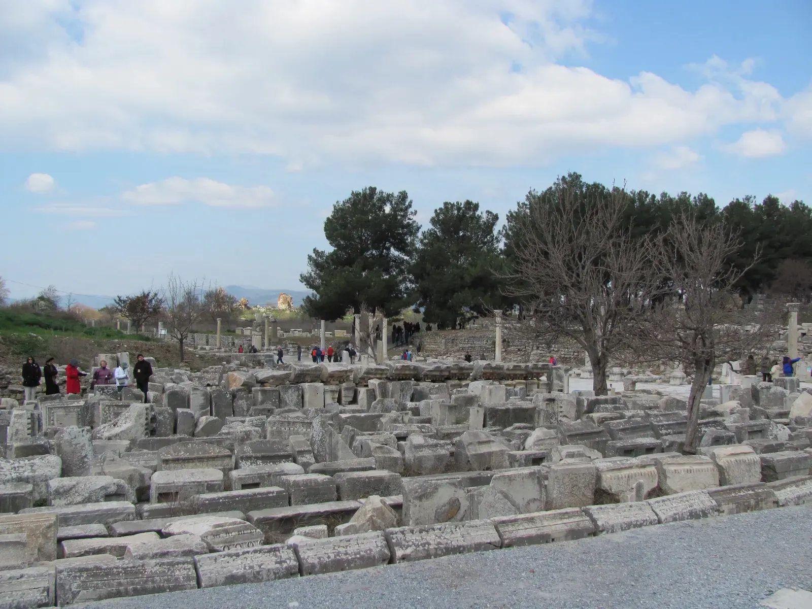
Walk through Ephesus today and you’re surrounded by dry hills and tour buses, not ships and salt air. Yet ancient inscriptions call it “harbour city” again and again. The nearest coastline now sits roughly 6-7 km away, and the old harbour basin is a flat agricultural plain.
Core drilling there has uncovered alternating layers of marine and river sediment, proving the bay gradually filled in and turned to solid ground. The culprit was the Küçük Menderes River, which spent centuries dumping silt into the bay. Locals fought back with dredging and canals, but the river won – and by late antiquity, ships had to anchor farther and farther out as Ephesus’s commercial power drifted away with the shoreline.
#9 – Miletus, Turkey: Once on the Sea, Now Buried in a River Delta
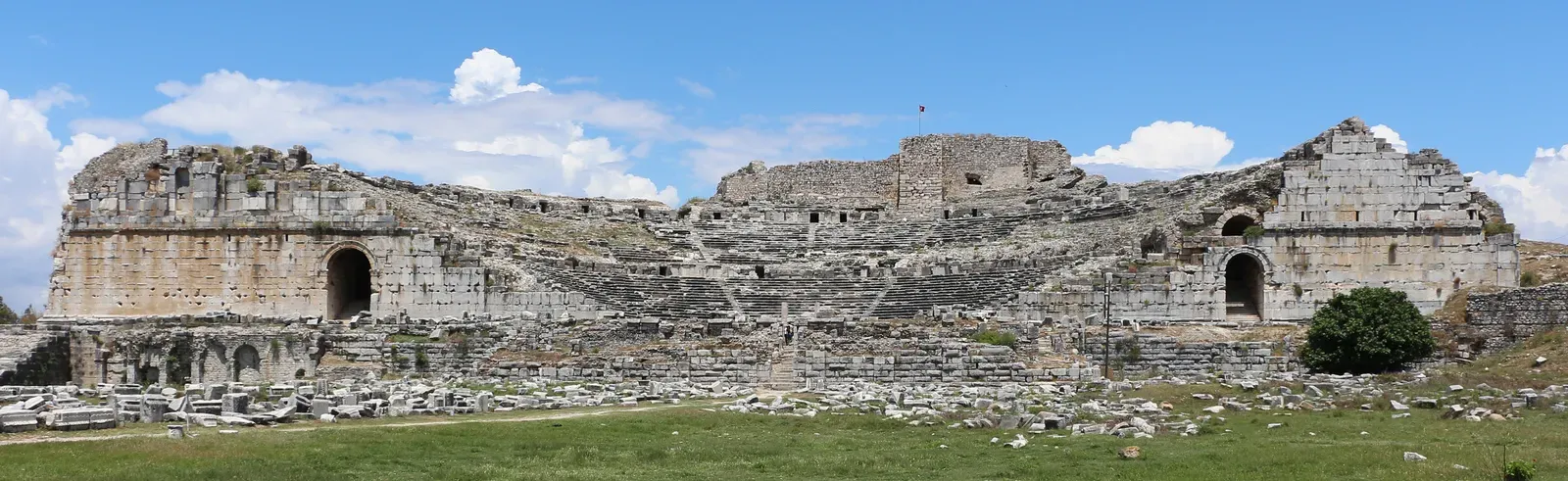
Miletus used to sit right on the Aegean, a star among the Ionian ports. Today it’s stranded inland in the Büyük Menderes delta, hemmed in by fields and marshes instead of open water. Geological mapping shows kilometres of new land have formed seaward of the ancient city, built entirely from river deposits.
Radiocarbon dating reveals just how fast this happened – in some periods, the delta advanced tens of metres per century, enough to noticeably choke harbour depth within a single generation. Ancient harbour basins line up almost perfectly with old river paths now stranded far from any coast. A few historians have downplayed how extreme the shift was, but the sediment thickness and fossil layers in the cores don’t leave much room for argument.
Worth Knowing
- Delta growth rate: tens of metres per century during peak silting periods
- Harbour depth could shrink noticeably within a single generation
- Ancient basins align almost exactly with buried, long-abandoned river channels
- The city now sits kilometres inland inside the Büyük Menderes delta
#8 – Alexandria’s Western Harbours, Egypt: Ports Now Trapped Behind the City
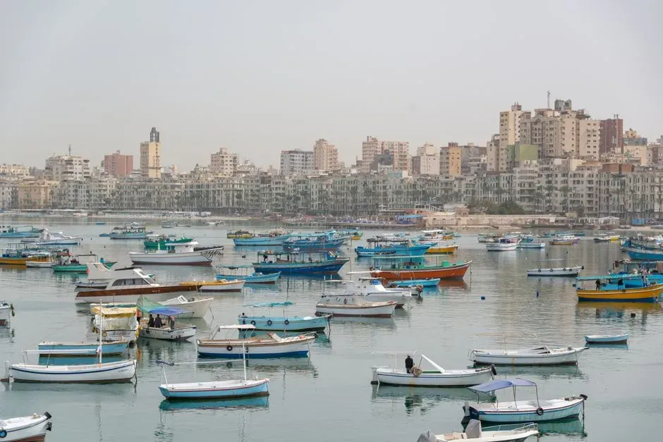
Most people imagine ancient Alexandria pressed right against the Mediterranean, and that’s partly true. But several of its historic harbour installations no longer sit on the functional shoreline at all. Parts of the western harbour system, tied to the Pharos-era port network, now sit behind breakwaters, reclaimed land, and modern fill – a harbour hiding behind another harbour.
Sonar surveys and dive data show submerged structures offshore, while borings behind today’s waterfront reveal marine layers buried under construction debris. What looks like permanent coastline was, in several periods, open water or tidal flats. This is one of the rare cases where human engineering, not just nature, physically shoved the sea outward and left old harbour lines stranded behind the modern city.
#7 – Caesarea Maritima, Israel: Herod’s Grand Harbour on a Shifting Coast
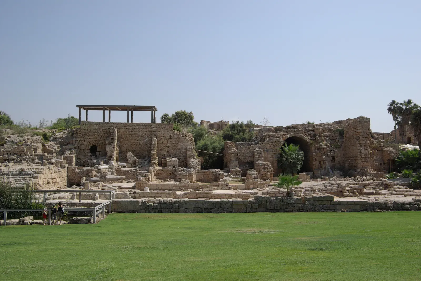
Caesarea’s ruins still sit close to the Mediterranean, but the heart of Herod’s enormous harbour lies both underwater and oddly offset from today’s active shore. Parts of the original quay system and breakwaters now sit landward of the energetic surf, fronted by shallow water that used to run much deeper.
Geologists mapping the area have found uplifted sections, subsided blocks, and heavy sediment buildup that reshaped water depth over two millennia. Seismic activity along the Levant coast, combined with shifting storm patterns, gradually abandoned some harbour works while building fresh beaches seaward of them. Visitors today casually walk over what would once have been lapping wave edges – a “seaside” park where parts of the ancient harbour actually sit behind the modern surf zone.
#6 – Tyre, Lebanon: An Island Port That Became a Peninsula
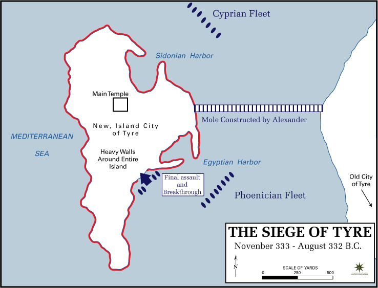
Ancient Tyre was famously built on an island, reachable only by boat. The modern city, by contrast, is attached to the mainland by a broad neck of land – and that neck is not a natural feature. Alexander the Great’s siege causeway, built in 332 BCE, triggered sediment accumulation that eventually turned the island into a peninsula.
Over centuries, waves and currents piled sand along that artificial link, widening it and pushing the shoreline outward. Seafloor mapping has even revealed old nearshore channels – paths ships once sailed through – now buried as sand bodies under the land bridge. It’s one of the clearest examples on this list of human military engineering literally rewriting coastal geology and marooning an iconic harbour from the sea it once ruled.
Why It Stands Out
- The only harbour on this list reshaped by a military siege rather than natural sediment drift alone
- Alexander’s 332 BCE causeway permanently altered local sediment flow
- Old shipping channels now lie buried as sand beneath the land bridge
- An island port became a solid peninsula within a few centuries
#5 – Leptis Magna, Libya: A North African Port Pushed Inland by Shifting Sands
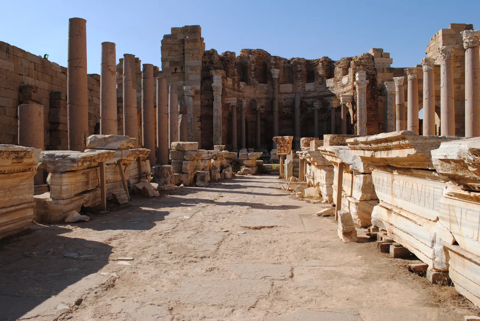
Leptis Magna’s harbour was a showpiece of Roman North Africa. Today, many of its dock structures stand behind modern beaches and sand dunes, not on open blue water. Wind-blown sand and shifting coastal currents have reworked this stretch of shoreline again and again, alternately burying and exposing the ruins.
Geological surveys show old dock basins partly infilled, marine sediment capped by dune sand and soil. In some places, what looks like a natural beach today was actually an engineered basin, once protected by breakwaters that are now eroded or sitting offshore underwater. Storm-driven overwash pushed sand landward over the centuries, and geomorphologists now say several key harbour lines sit hundreds of metres from where ships could ever safely dock.
#4 – Piraeus & Phaleron Bay, Greece: Athens’ War Harbours Now Tucked Behind New Land
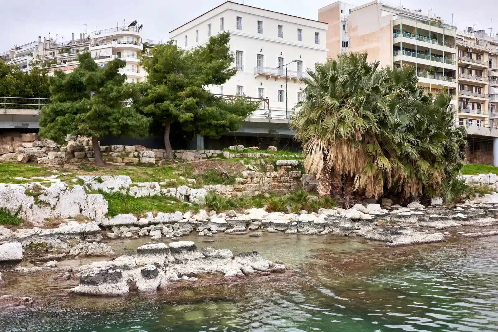
Piraeus is still a working port, but its classical war harbours and the older installations around Phaleron Bay tell a very different story. Several ancient basins identified in the archaeological record now sit behind layers of reclaimed land, roads, and modern port expansion – completely cut off from navigable water.
Sediment cores around Phaleron and the Piraeus peninsula show sea level and shore position have shifted repeatedly since the Bronze Age. Marshy inlets got filled in; small bays turned into dry ground. Then 19th and 20th century engineers deliberately buried shallow coastal zones under metres of fill to create flat urban land – which means Athenian triremes once docked in spaces that are now bus stops and residential blocks, nowhere near today’s waterline.
#3 – Phaselis, Turkey: Three Harbours, Pine Forests, and a Receding Sea
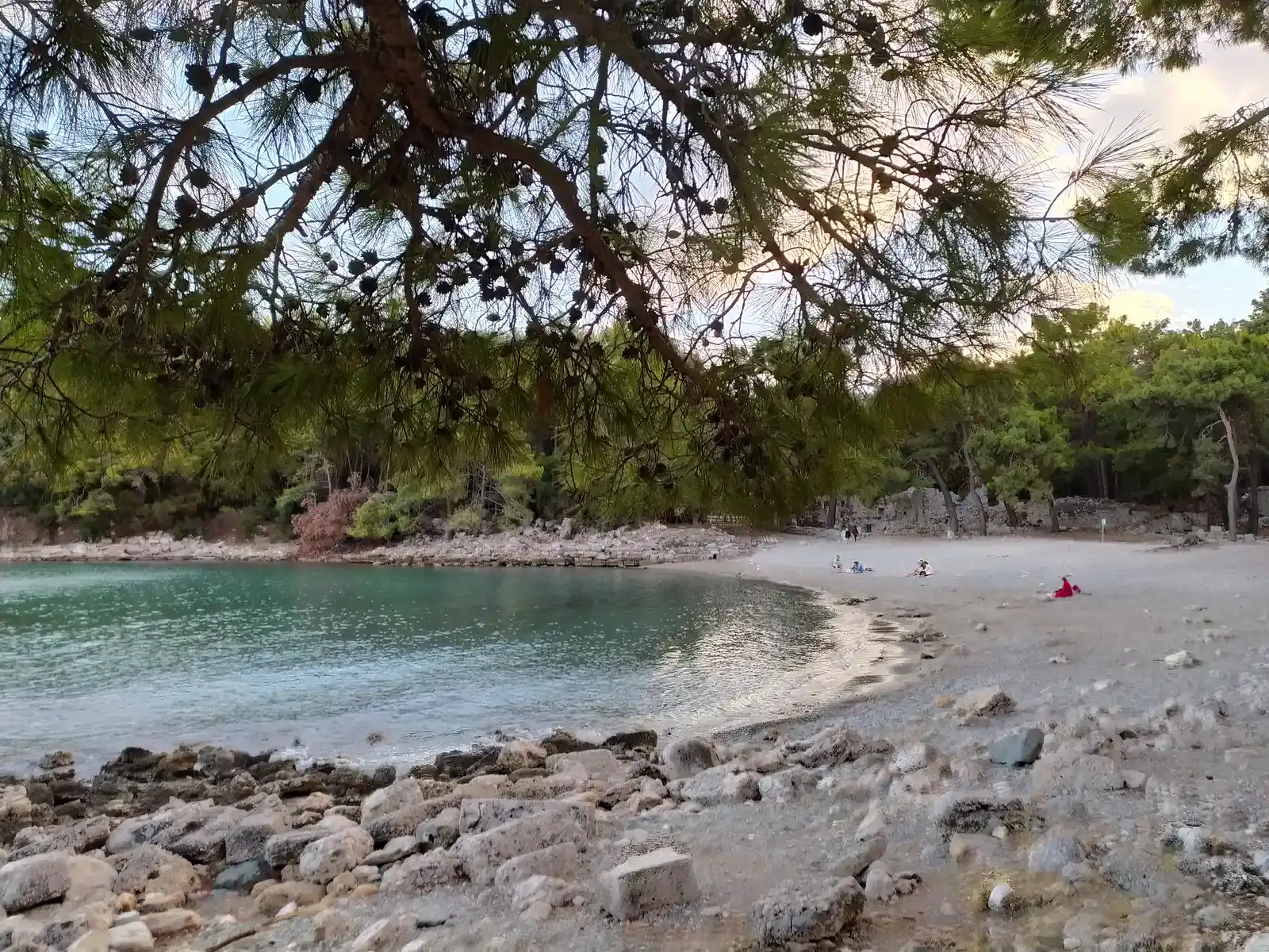
Phaselis boasted three separate harbours in antiquity – north, central, and south. Today visitors see pretty coves and pine forest, but sections of the ancient quay lines stand noticeably back from the water’s edge, with beach and sediment now built up in front of them.
Core drilling in these coves has captured the shift from deep marine conditions to shallow, sand-dominated shoreline over time. Tectonic uplift along Turkey’s coast, combined with local sediment infill, changed relative sea level here by several metres within just a few thousand years – meaning basins built for ancient ships could turn too shallow within a few centuries. The result is harbour stones that now feel oddly inland, marooned by their own success at trapping sediment.
At a Glance
- Three original harbours: north, central, and south
- Relative sea level shifted by several metres within a few thousand years
- Cause: tectonic uplift combined with local sediment infill
- Cores show a clear shift from deep marine mud to shallow, sand-dominated shoreline
#2 – Methoni & Pylos, Greece: Fortified Harbours Standing Above Modern Sea Level
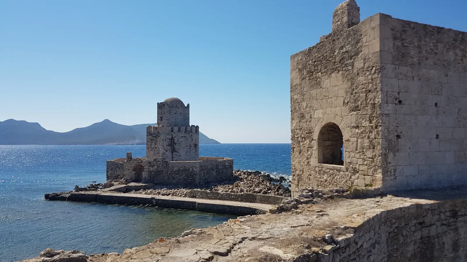
On Greece’s southwest coast, the fortified harbours of Methoni and nearby Pylos tell an underappreciated tectonic story. Parts of their medieval and earlier harbour structures now sit a surprising distance above current sea level, and slightly inland from the best modern anchorage.
Detailed elevation surveys suggest episodes of crustal uplift, likely tied to seismic activity along the Hellenic arc, have raised sections of this coastline over the last two millennia. Some former harbour features at Methoni line up with fossil shore markers now too high to ever get splashed by waves. Most tourists chalk this up to “old ports silting up,” but the land itself moving vertically is a much bigger part of the story than casual visitors ever realize.
The rocks and shells tell you exactly where the sea used to be. They don’t lie the way monuments and travel guides sometimes do.
Common refrain among coastal geoarchaeologists working the Aegean
#1 – Pavlopetri, Greece: The Harbour That Moved Twice
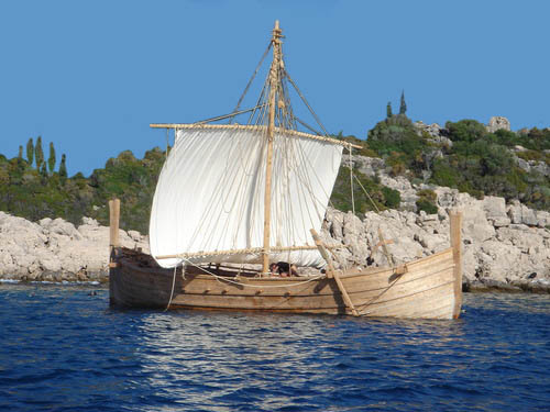
The strangest case on this list is Pavlopetri, off the coast of Laconia, often called the world’s oldest submerged town. Here, the harbour puzzle runs in both directions at once. The Bronze Age shoreline sat somewhere between today’s beach and the shallow underwater ruins – meaning some of today’s dry land was once coastal water, and some of today’s seabed was once dry, habitable ground.
Sea-level rise since the Bronze Age, combined with local subsidence and shifting sediment, drowned some features while stranding others behind the modern beach. Along similar Aegean and eastern Mediterranean sites, geologists keep finding fossil shorelines far inland – old beach ridges, marine terraces, shell beds – sitting hundreds of metres from open water. These are quiet, physical proof that entire harbour systems once operated exactly where tourists now park their cars and stroll through olive groves.
The Bottom Line
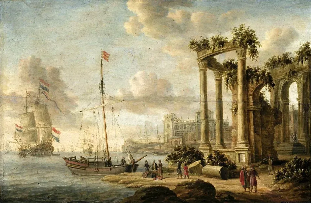
Line these twelve sites up and one thing becomes impossible to ignore: ancient harbours and modern shorelines almost never match the postcard version of history. Rivers have dumped kilometres of sediment. Deltas have marched seaward. Earthquakes have lifted entire coastlines out of the water. And more than once, human engineers simply redrew the edge of the sea with rubble and ambition.
I’ll say the quiet part out loud: this should bother us a little. We build our sense of history on the assumption that coastlines are fixed backdrops, stage sets that stay put while empires rise and fall in front of them. They’re not. Rome’s ports, Ephesus’s harbour, Tyre’s island – all of it moved, sometimes faster than the civilizations using them could adapt. The sediment doesn’t care what the guidebooks say. It just keeps stacking up, quietly rewriting the coastline underneath our feet.
Did we overrate any of these harbours – or miss one that’s even more extreme? Drop your pick in the comments.