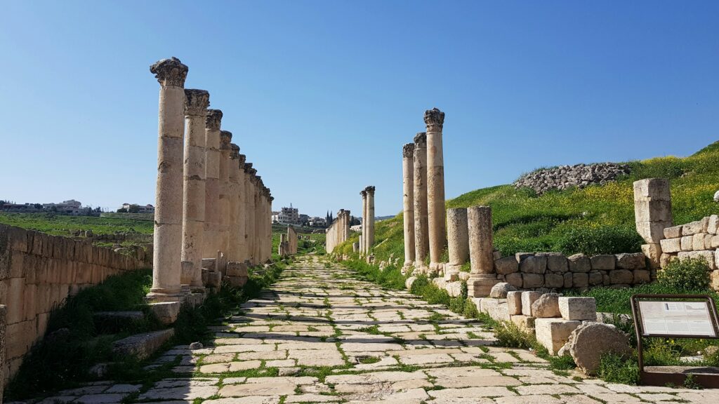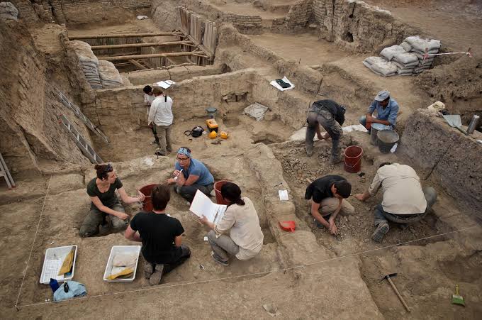
Imagine waking up one morning to discover that the ground you’ve been living on for years is not just solid rock and concrete, but part of a living, restless volcano system. Not a dramatic cone on the horizon with red lava flowing, but a vast buried engine of hot rock and pressurized fluids quietly shaping the land under your feet. For millions of people around the world, that is not science fiction, it is literally the geological reality.
Volcanoes under or right next to major cities are not always obvious. Some are calderas spread over dozens of miles, others are low hills or flat plains you’d never suspect. Many are monitored by scientists, but barely mentioned in everyday conversation, local politics, or real‑estate brochures. Let’s look at eight volcanic systems that are very much alive beneath or beside big population centers, how they work, and why “hidden” does not always mean “about to blow” – but does mean we should be paying attention.
1. Naples and the Campi Flegrei Caldera, Italy
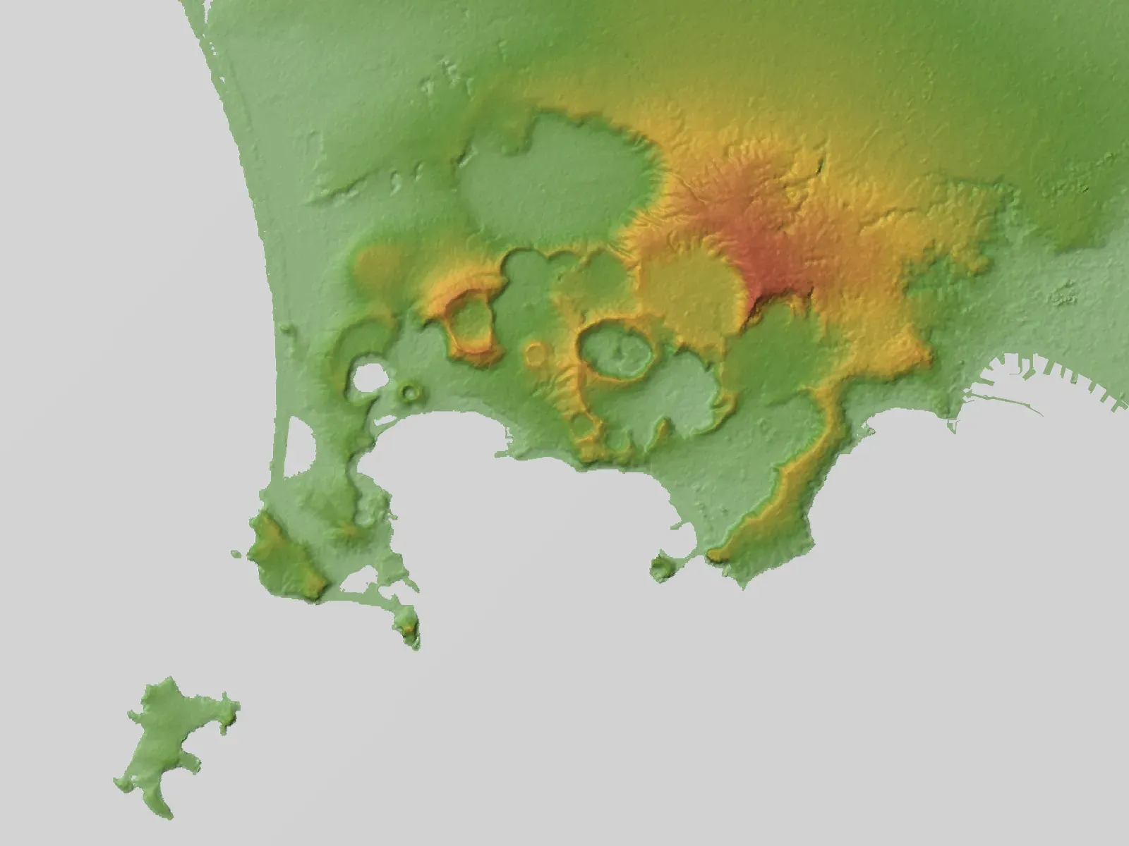
West of central Naples, beyond the famous view of Mount Vesuvius, lies a much larger, subtler, and more unsettling volcanic system: the Campi Flegrei, or Phlegraean Fields. Instead of a neat mountain, it is a sprawling caldera under neighborhoods, ports, and popular tourist areas, with hot springs, fumaroles, uplift and subsidence of the ground, and a long history of restless behavior. Many residents think of it, if at all, as a curiosity or geothermal attraction, not as a major volcano essentially intertwined with their city.
Geologically, Campi Flegrei is capable of everything from small gas explosions to gigantic eruptions that could impact the wider Mediterranean, though the really extreme events are rare on human timescales. Over the past decades, scientists have recorded repeated phases of ground inflation, increased gas emissions, and small earthquake swarms, a classic sign that magma and hot fluids are moving at depth. Most days, life in Naples feels completely normal, which may be precisely why the public risk perception lags so far behind the scientific conversations happening quietly in observatories and research labs.
2. Mexico City and the Popocatépetl–Trans‑Mexican Volcanic Belt
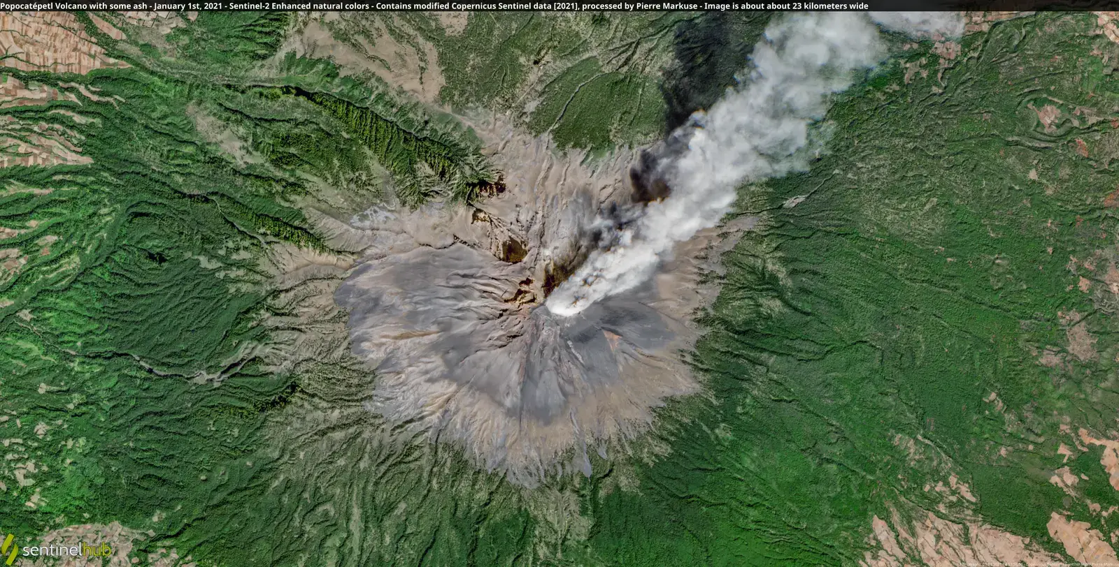
When people in Mexico City think “volcano,” they usually picture Popocatépetl, the iconic snow‑tipped stratovolcano on the horizon that frequently puffs ash and steam. What often gets less attention is that the city lies along the broader Trans‑Mexican Volcanic Belt, a region of active subduction‑related volcanism that has built the high plateau where millions now live. The city itself sits partly in an old lake basin, surrounded by volcanic peaks and lava flows that shaped the geography long before skyscrapers and highways arrived.
Popocatépetl’s ash plumes, gas emissions, and occasional explosive bursts are closely watched by scientists, and there are alert levels and exclusion zones in place. But the sense that “the volcano is out there” can be misleading; the whole region is the product of ongoing plate interactions and magmatism beneath central Mexico. The risk is not only a catastrophic eruption, which is statistically unlikely in any given year, but repeated moderate ash events and associated hazards to infrastructure, aviation, water supplies, and the health of a mega‑city that already struggles with air quality and logistics.
3. Auckland and Its Monogenetic Volcanic Field, New Zealand
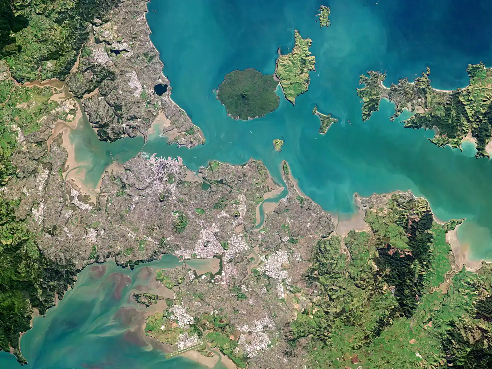
On a sunny day, Auckland’s volcanic cones look like pretty green hills to climb for a view of the harbor, not warnings from the deep. Yet those grassy cones, craters, and lava fields are the surface expression of the Auckland Volcanic Field, a monogenetic field where each vent tends to erupt only once before shutting down, and a new eruption pops up somewhere else. That means the “next” volcano will likely form in a new location, potentially among existing suburbs and infrastructure.
This type of system is unsettling precisely because it does not offer a single obvious suspect mountain to watch. The field has produced dozens of eruptions over the last several hundred thousand years, with the most recent, Rangitoto, being geologically young. Scientists monitor seismicity and ground deformation, and authorities have done more public outreach in recent years, but many residents still see the small cones as quaint parkland rather than evidence that magma has a habit of punching new holes under this modern city.
4. Seattle, Tacoma, and the Shadow of Mount Rainier, United States
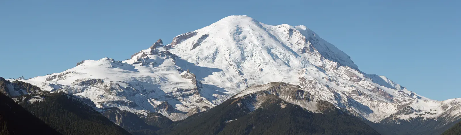
Seattle’s skyline with Mount Rainier looming in the background is one of the most photographed vistas in the Pacific Northwest. The mountain looks serene from a distance, but it is an active stratovolcano with a complex history of eruptions and, crucially, huge lahars – volcanic mudflows that can race down valleys and bury towns far from the crater. The vulnerable lowland areas downstream include communities around Tacoma and parts of the broader Seattle‑Tacoma urban corridor.
What many residents do not realize is that you do not need a dramatic explosive eruption to have a bad day from Rainier. A sector collapse or relatively modest eruptive episode could mobilize enormous volumes of loose volcanic material and ice into fast‑moving flows, following river valleys that now contain roads, schools, and industrial zones. Scientists have mapped these deposits and emergency planners have created lahar evacuation routes, but until you see the hazard maps, it is easy to treat the volcano as just a scenic backdrop rather than a real, if low‑probability, risk generator.
5. Manila and the Taal Volcanic System, Philippines
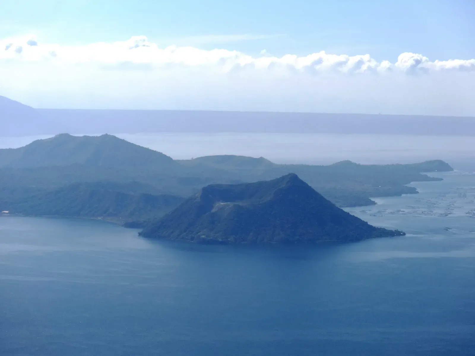
South of Metro Manila sits Taal, a fascinating and unnervingly complex volcanic system with a lake‑filled caldera and an island that itself contains a smaller crater lake. It is one of the most picturesque volcanic landscapes in the world, a magnet for tourists and weekend trips. At the same time, it has a history of sudden, explosive activity producing ashfall that can affect large parts of Luzon, including the fringes of the Manila urban region during certain wind conditions.
Recent eruptive episodes have shown just how quickly conditions at Taal can change, with sharp shifts in gas output, seismic swarms, ground deformation, and short‑notice alert level jumps. For many people in Manila, especially those in newer suburbs creeping steadily south, the idea of living within range of volcanic ash is not front and center. Yet the combination of a growing population, dense infrastructure, and a nearby, restless caldera makes Taal one of those “we really need to keep talking about this” systems rather than a scenic postcard backdrop.
6. Kagoshima City and Sakurajima, Japan
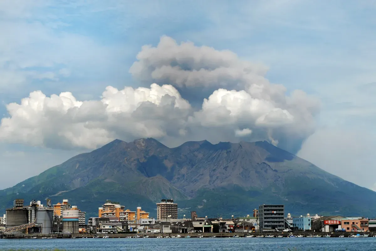
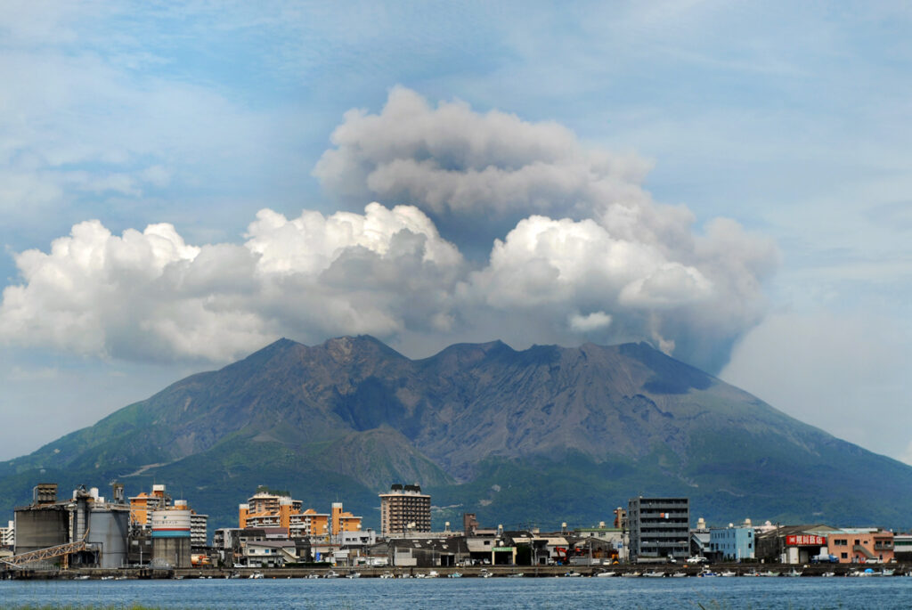
Kagoshima offers one of the most surreal urban‑volcano juxtapositions on Earth: a modern city looking directly across a bay at Sakurajima, a volcano that erupts frequently, sometimes many times in a single day during its more active phases. Ashfall is part of life there, with people sweeping grey powder off cars and rooftops as casually as others might clear fallen leaves. For many residents, this is simply normal, which can blunt the sense of how unusual and potentially dangerous this setting really is.
Sakurajima is part of a larger caldera system, and while its regular smaller explosions and ash emissions get attention, the underlying magma supply and regional tectonics mean the system must be respected as capable of much larger events. The city’s infrastructure, emergency plans, and public education efforts are among the most advanced in any volcano‑threatened region, yet there is always a tension between economic life, cultural attachment to place, and the blunt reality of living next door to a very active volcanic cone that is steadily rebuilding itself.
7. Goma and the Nyiragongo–Virunga Volcanoes, Democratic Republic of the Congo
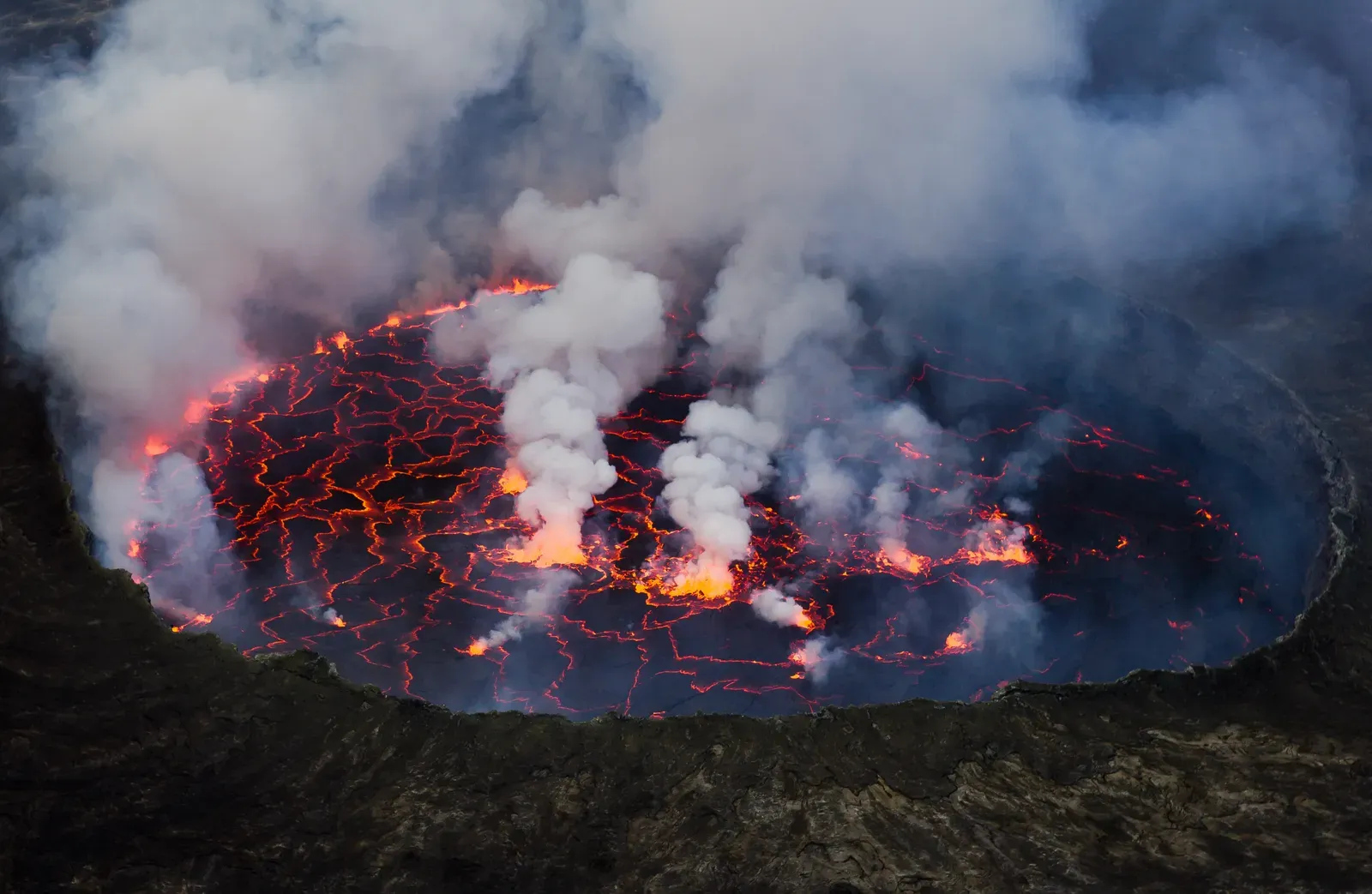
Goma, on the shores of Lake Kivu, sits in one of the most dramatic volcanic environments on the planet. The nearby Nyiragongo volcano is infamous for its fast‑moving, low‑viscosity lava and its lava lake, which has periodically drained in catastrophic eruptions that send flows racing downslope. In 2002 and again in 2021, lava invaded parts of Goma, destroying homes and infrastructure, stark proof that this is not a hypothetical threat but a repeating pattern in living memory.
Complicating the picture is the combination of volcanic gas emissions, rifting in the East African Rift system, and the unique hazard of gas‑charged Lake Kivu, which poses a separate limnic eruption risk under certain conditions. Goma’s residents are incredibly resilient, rebuilding and continuing life in an environment where tectonic plates are literally pulling apart beneath them. Yet the long‑term story is that this is a city being reshaped again and again by magma rising from depth, in a region where political instability often overshadows the slow but relentless work of geological processes.
8. Arequipa and El Misti, Peru
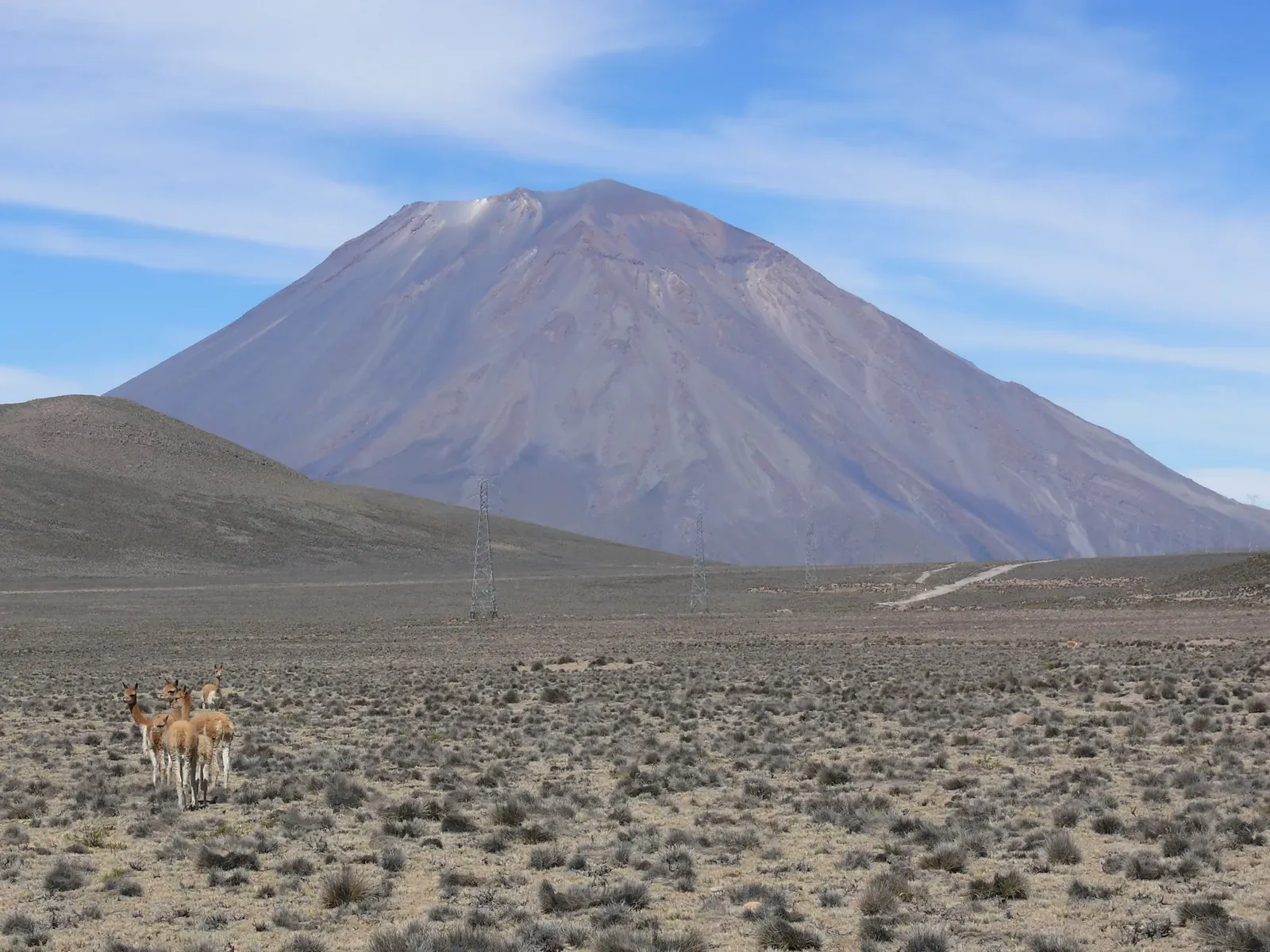
Arequipa, sometimes called the White City for its volcanic‑stone architecture, owes much of its charm and even its building material to the nearby volcanoes that created the region’s rocks. Dominating the skyline is El Misti, a symmetrical stratovolcano that looks calm and almost classical in outline. Its elegance can be deceptive, because it is an active volcano with a history of eruptions in recent centuries and a geological record that includes pyroclastic flows and ashfall capable of strongly impacting the city.
Like many Andean urban centers, Arequipa exists because volcanic and tectonic activity built the plateau, created fertile soils, and shaped water resources. This close relationship can breed a kind of psychological familiarity: the volcano is just “part of the scenery.” In reality, hazard assessments continue, monitoring networks track seismicity and gas, and risk models explore how a future eruption might interact with a growing, modern cityscape. The uncomfortable truth is that the same forces that made Arequipa possible are still at work, slowly charging a system that people often prefer not to think about.
Conclusion: Living On Top of Slow, Relentless Fire
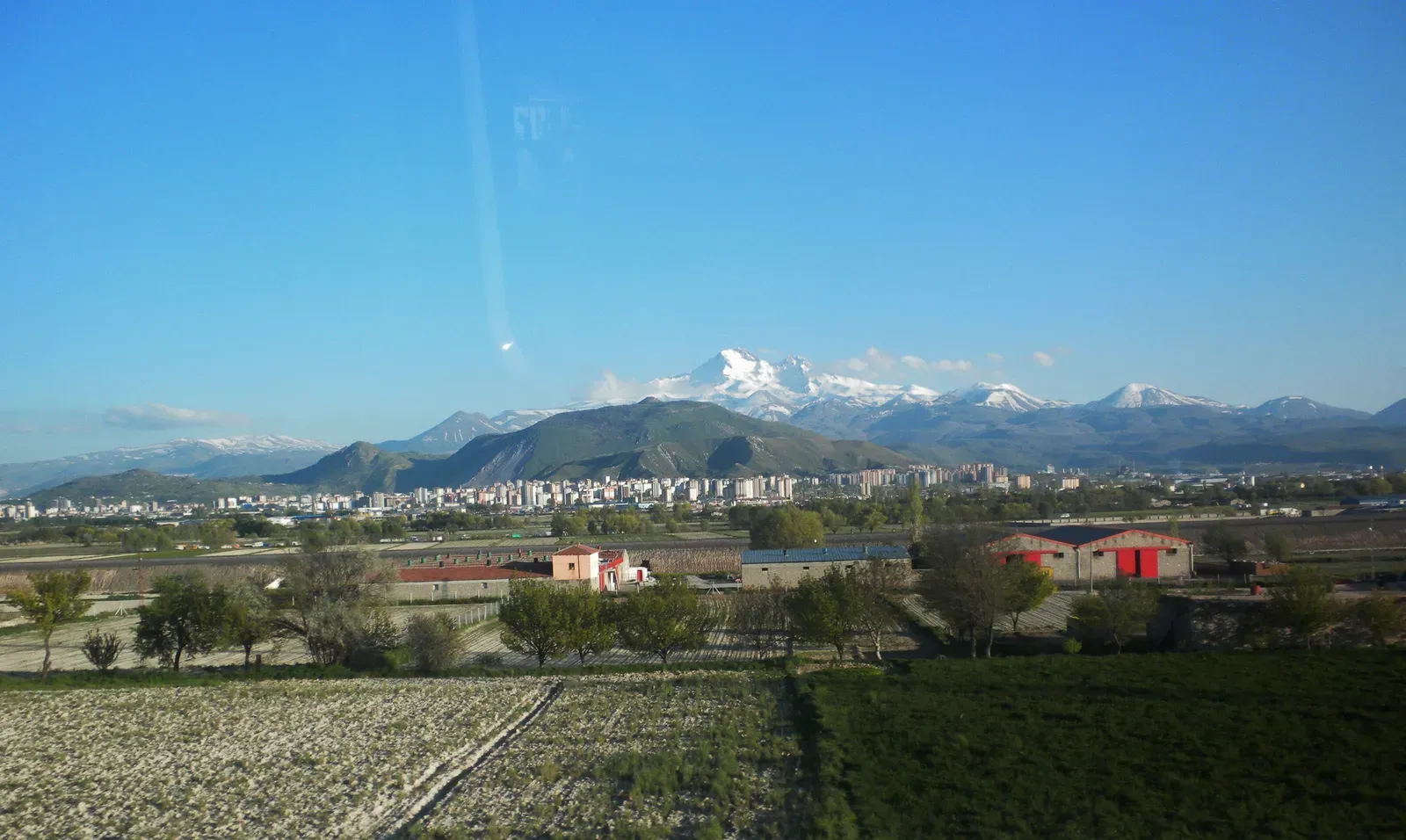
What ties Naples, Mexico City, Auckland, Seattle, Manila, Kagoshima, Goma, and Arequipa together is not just beautiful skylines, but the fact that they are anchored to land built by ongoing volcanic systems that have not finished telling their stories. In most of these places, daily life hums along with barely a thought about magma at depth, because there are more immediate worries: rent, jobs, traffic, politics. Yet the crust under these cities is thinner, hotter, and more restless than most people have ever been told, and pretending otherwise does not make the hazards go away.
My own take is that we are still far too comfortable treating volcanoes as background scenery or tourist branding instead of as powerful, long‑term neighbors we have to plan around. The good news is that early warning science, monitoring technology, and risk mapping have never been better, and in many of these regions scientists work tirelessly, often with limited budgets, to track subtle signs of change. The real question is whether societies choose to listen, prepare, and build with that knowledge in mind, or wait until a column of ash or a wall of mud forces the conversation in the harshest possible way. If you found out your own city had a hidden volcanic past and an uncertain volcanic future, would you want to know?