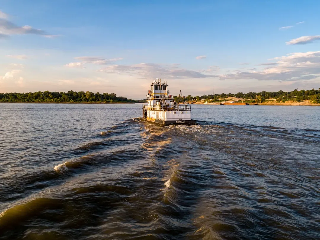
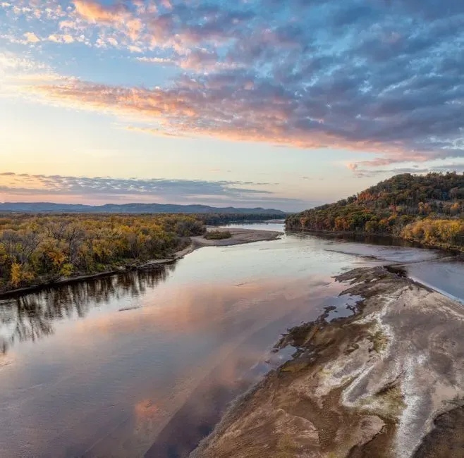
You are used to thinking of rivers as one-way streets: always flowing downhill, always moving in the same direction, day after day. So the idea of the Mississippi River – a giant that drains much of the heart of North America – suddenly turning around and running the wrong way sounds like something out of a disaster movie. Yet it really happened in the early 1800s, and the story still echoes through modern science, emergency planning, and online rumors today.
What might surprise you even more is that United States Geological Survey (USGS) scientists regularly explain how the same kind of forces could make that eerie sight possible again. That does not mean you should panic or expect a Hollywood-style catastrophe next week. It does mean that if you live anywhere near the Mississippi or the central United States, you sit on a landscape shaped by past mega-quakes – and you have more power than you think to prepare for whatever the river and the ground beneath it decide to do next.
The Night The Mississippi Turned Around
If you could time-travel back to the winter of 1811–1812 along the Mississippi, you would barely recognize the place. In what is now Missouri, Arkansas, Tennessee, and Kentucky, the ground began to roar and roll beneath people’s feet in the middle of cold, dark nights. Buildings cracked, chimneys fell, and in a few places the earth ripped open wide enough to swallow trees and houses. You would have heard a deep, low thunder coming from underground, punctuated by strange flashes of light in the distance as rocks ground against each other.
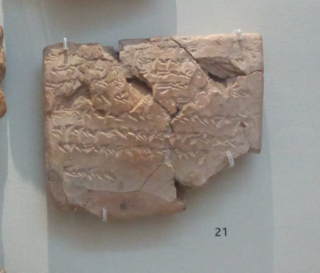
On February 7, 1812, one of the largest earthquakes in North American history struck near the little river town of New Madrid, Missouri. Historical and geological evidence suggests a magnitude in the high 7s, possibly even larger. The shaking was so intense that parts of the Mississippi River’s bed suddenly rose while other sections dropped. Local boatmen reported something almost impossible to imagine: for several hours, the Mississippi appeared to surge northward, upstream, as water rushed to fill newly created low spots and spilled into freshly formed basins that would later become places like Reelfoot Lake in Tennessee. ([reelfootlaketourism.com](https://reelfootlaketourism.com/blog/the-day-the-mississippi-river-flowed-backwards-lake-countys-earthquake-legacy/?utm_source=openai))
What “Flowed Backwards” Really Means
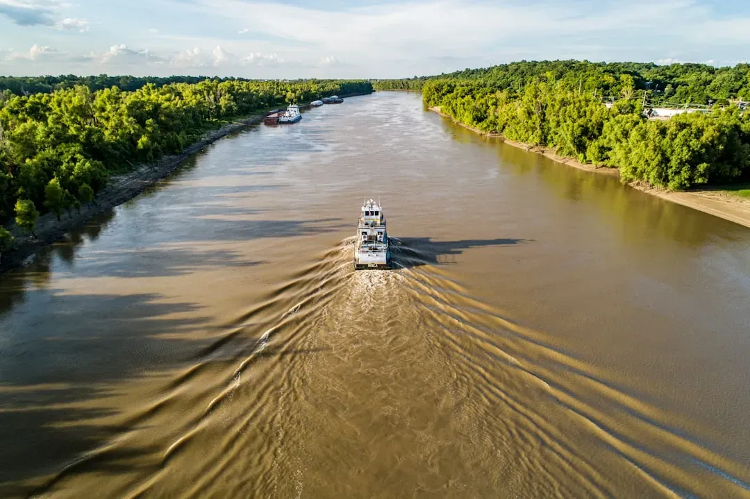
When you hear that the Mississippi flowed backwards, you might picture the entire river, from Minnesota to the Gulf of Mexico, reversing like a rewound video. In reality, what you are talking about is a powerful but local response to extreme tectonic movement. The river’s slope is gentle, which means that a sudden uplift or drop of a few feet along certain stretches can temporarily flip the direction of steepest descent. Water obeys gravity, not habit, so it simply rushed toward the new low ground until levels evened out again. ([paraghosts.com](https://www.paraghosts.com/is-it-true-the-mississippi-river-flowed-backwards-in-1811/?utm_source=openai))
Imagine tilting a long table that already has a thin sheet of water flowing across it. If you suddenly jack up one side in the middle, the water near that spot will surge back toward the higher end until a new balance is reached. That is basically what happened on parts of the Mississippi in 1812. The reports of upstream waves, temporary waterfalls, and even whirlpools are consistent with what geologists expect from a major rupture under a large, slow-moving river. The poetry of “the river ran backwards” stuck in people’s memories, while the physics of shifting crust and gravity took longer to understand.
The Hidden Fault Beneath America’s Midsection

To understand why USGS still talks about the Mississippi potentially flowing backward again, you have to look under your feet in the central United States. The 1811–1812 quakes came from the New Madrid Seismic Zone, a network of faults crossing southeastern Missouri, northeastern Arkansas, western Tennessee, western Kentucky, and southern Illinois. Unlike the famous San Andreas Fault in California, this one sits in the middle of a tectonic plate, inside an ancient rift called the Reelfoot Rift. It is quiet on the surface but far from dead. ([en.wikipedia.org](https://en.wikipedia.org/wiki/New_Madrid_seismic_zone?utm_source=openai))
Modern instruments record hundreds of small earthquakes there every year, most too weak for you to feel but strong enough to remind scientists that stress is still building along old fractures in the crust. USGS and university researchers drill cores, map subtle warps in the landscape, and study sand blows and other signs of past shaking to reconstruct a long history of big quakes in this region. Their conclusion is not that another 1812-style earthquake is guaranteed on a specific date, but that the system remains active and capable of producing damaging events in the future, even far from any oceanic plate boundary.
So Is The Mississippi Actually Reversing Again?
Here’s the part you really care about: is the river already starting to flow backward today, or has USGS actually said that it is happening again now? As of 2026, there is no scientific evidence that a New Madrid–scale earthquake is currently underway, and USGS has not announced that the Mississippi is reversing direction the way it did in 1812. Streamgages show normal variations in flow – sometimes extremely high during floods and very low during droughts – but not a sustained, earthquake-driven reversal. ([webapps.usgs.gov](https://webapps.usgs.gov/mrb/?utm_source=openai))
What you do see, especially online, is a mix of older USGS explanations, preparedness documents, and scenario studies being shared with dramatic captions. When scientists say a Mississippi backflow could happen again, they are not giving you a breaking-news alert; they are describing a physically plausible effect of a rare but possible future mega-quake. It is similar to hurricane experts saying a Category Five storm could push ocean water miles inland. They are warning you about a realistic scenario so you can plan ahead, not claiming it is literally unfolding this week.
What USGS Actually Says About Future Mega-Quakes
If you dig into USGS reports instead of social media posts, you find careful, sometimes boring language that does not fit neatly into sensational headlines. For the New Madrid region, earlier USGS forecasts estimated a chance, over fifty years, of a large quake in the magnitude seven range being on the order of several out of one hundred, and a larger chance for quakes in the magnitude six range. The exact numbers evolve as new data comes in, but the tone stays the same: the risk is not zero, not certain, and definitely worth taking seriously if you live in the region. ([en.wikipedia.org](https://en.wikipedia.org/wiki/1811%E2%80%931812_New_Madrid_earthquakes?utm_source=openai))
They also build detailed “scenario earthquakes” – for example, modeling what a magnitude seven-point-something event on the southern segment of the New Madrid faults would do to bridges, pipelines, power lines, and communities along the Mississippi. Those scenarios straightforwardly state that strong shaking could cause landslides, bank failures, changes in river channels, and potentially short-lived reversals or standing waves in the river. In other words, the same basic phenomenon you saw in 1812 is still on the table for the future, but as one piece of a larger pattern of damage you would have to be ready to face.
Other Ways Rivers Run Backwards (That Are Not Doom)
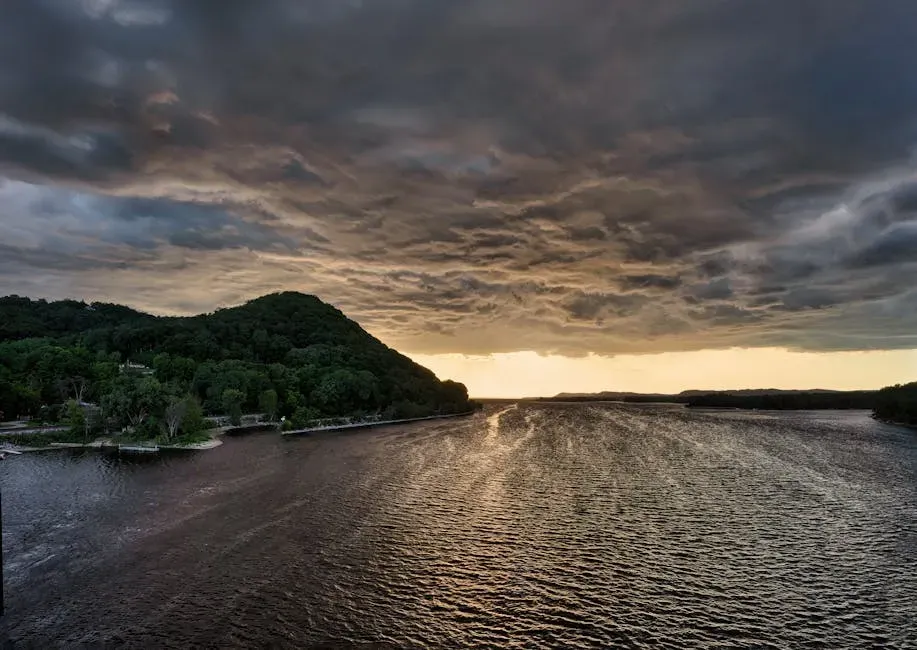
There is another twist you should know: rivers can briefly flow upstream without any earthquake at all, and USGS documents that too. Strong hurricanes or storm surges pushing inland from the Gulf of Mexico can temporarily drive water up low-lying delta channels, making parts of the lower Mississippi or connected waterways reverse direction on tide gauges. Extreme flooding can also create chaotic currents where side channels and backwaters swirl in directions that do not match a simple map arrow. ([en.wikipedia.org](https://en.wikipedia.org/wiki/Mississippi_River?utm_source=openai))
Engineers sometimes use the phrase “backwater effects” to describe how big dams, levees, or even other rivers joining in can cause water levels and local flow directions to behave in surprising ways. So when you hear people say “the Mississippi is running backward again” during a major storm, they may be reacting to a real but localized effect captured on instruments or in one reach of the river, not a continent-scale reversal like the dramatic stories from 1812. Part of being an informed citizen today is learning to ask which kind of “backwards” someone is talking about before you let it shape your sense of danger.
If You Live Near The River, What You Can Actually Do
It is easy to feel powerless when you hear about forces strong enough to lift riverbeds and rewrite coastlines, but you have far more control over your personal risk than you might think. If you live in the Mississippi valley, especially near Memphis, St. Louis, or the central river corridor, you can start by checking whether your state emergency agency or local government provides maps and guidance about earthquake and flood risk. Many do, often building on USGS and Army Corps of Engineers data. Knowing whether your home, school, or workplace sits on soft sediments, near levees, or close to critical bridges can help you make smarter decisions about where and how you live. ([sema.dps.mo.gov](https://sema.dps.mo.gov/earthquake_preparedness/docs/2025/when-the-mighty-mississippi-ran-backward-learning-from-the-great-new-madrid-earthquakes-of-1811-12.pdf?utm_source=openai))
At the personal level, your steps are surprisingly simple: secure heavy furniture, learn how to turn off gas and water, keep a basic emergency kit, and practice what to do during shaking – drop, cover, and hold on – just as you might practice for a tornado or fire. If you have ever brushed off earthquake drills because you do not live in California, it might be time to rethink that. The 1811–1812 quakes were felt all the way to cities like Boston, and today’s interconnected power and transportation systems mean that a big event in the New Madrid zone could ripple through your life even if you live hundreds of miles away.
Separating Science From Fear And Rumors

Any time a swarm of small earthquakes hits Missouri, a drought grips the Mississippi, or a viral clip shows strange ripples in the river, you can almost predict the next wave: posts claiming that “USGS just confirmed the Mississippi is about to flow backwards again.” When you see those, you are better off going straight to the source. The USGS website and state emergency agencies publish clear updates on real seismic activity, river levels, and flood conditions. If something as extraordinary as a major New Madrid rupture were underway, you would not only see it in one blurry video or anonymous comment; you would see a flurry of official alerts, media coverage, and seismic data shared openly. ([usgs.gov](https://www.usgs.gov/search?keywords=Mississippi+River+floods&utm_source=openai))
I have watched more than one rumor cycle play out where people in the mid-South started stocking up on gas and bottled water because of a TikTok clip about the “Mississippi flipping again,” only for local officials and USGS scientists to spend days calmly explaining that nothing unusual was happening beyond normal low or high flow. You do not have to be a geologist to protect yourself from that kind of whiplash. All you really need is a habit: whenever a claim scares you, ask where the information comes from, whether the wording matches how scientists actually talk, and whether any trusted agency is saying the same thing. Most of the time, that quick check will bring your fear level way down.
Conclusion: Living With A River That Remembers
You now know that the Mississippi really did appear to run backwards during the New Madrid earthquakes of 1811–1812, and that USGS scientists still consider a similar effect physically possible in some future mega-quake. You also know that, as of today, there is no sign that such an event is happening right now, and that milder, short-lived “backwards” flows can happen for more ordinary reasons like storms or engineered changes. In other words, the headline image of a reversed Mississippi contains a true, haunting story – but it is not a daily prophecy you need to wake up dreading.
If you live anywhere within reach of the river’s power, your best move is not to obsess over dramatic phrases but to quietly, steadily prepare for the hazards that are already well understood: shaking, flooding, and infrastructure disruptions. A few practical steps, a bit of curiosity about the land beneath you, and a habit of checking real science before you share the next alarming post can turn a scary legend into a source of calm, informed confidence. Now that you have looked behind the headline, how differently will you see the Mississippi the next time you stand on its banks and watch it roll past?