Overnight Showers Fade into Milder Tuesday (Image Credits: Upload.wikimedia.org)
St. Louis – Light showers dotted the region overnight, clearing the way for a welcome shift toward milder conditions. Skies turned partly cloudy on Tuesday, with temperatures climbing into the mid-60s under southeast breezes.[1][2] This warming pattern builds quickly through the week, offering a taste of spring before thunderstorms arrive late, potentially disrupting plans and ushering in cooler air.
Overnight Showers Fade into Milder Tuesday
A few spotty rain showers passed through the St. Louis area overnight, leaving behind damp grounds but improving skies. Forecasters noted the precipitation moved eastward early Tuesday, allowing partial clearing and a noticeable uptick in temperatures. Highs reached the low to mid-60s across the region, a step up from recent cooler spells.[3]
Morning lows hovered in the low 40s, with southeast winds at 5 to 9 mph adding a gentle push. Partly cloudy conditions dominated, providing comfortable outdoor opportunities despite lingering clouds. Residents reported relief from the brief wet spell as drier air filtered in.
Wednesday Marks Start of Significant Warm-Up
Temperatures surge Wednesday, with morning readings in the 40s giving way to highs in the upper 70s to low 80s. This rapid climb signals the peak of the warming trend, driven by southerly flows pulling in warmer air masses.[2][4] Partly cloudy skies persist, though humidity begins to rise subtly.
By afternoon, many spots approach 80 degrees, nearing seasonal records. Winds pick up from the south at 10 to 12 mph, enhancing the balmy feel. This setup favors outdoor activities, from park visits to early gardening efforts.
Thursday Peaks with Heat, Storm Threats Build
Thursday delivers the week’s hottest conditions, with highs potentially challenging records near 85 to 90 degrees in some areas. Southerly winds strengthen to 12 to 20 mph, fueling the heat while skies mix sun and clouds.[5][6] The St. Louis Cardinals’ home opener falls on this day, promising warm and windy ballpark weather.
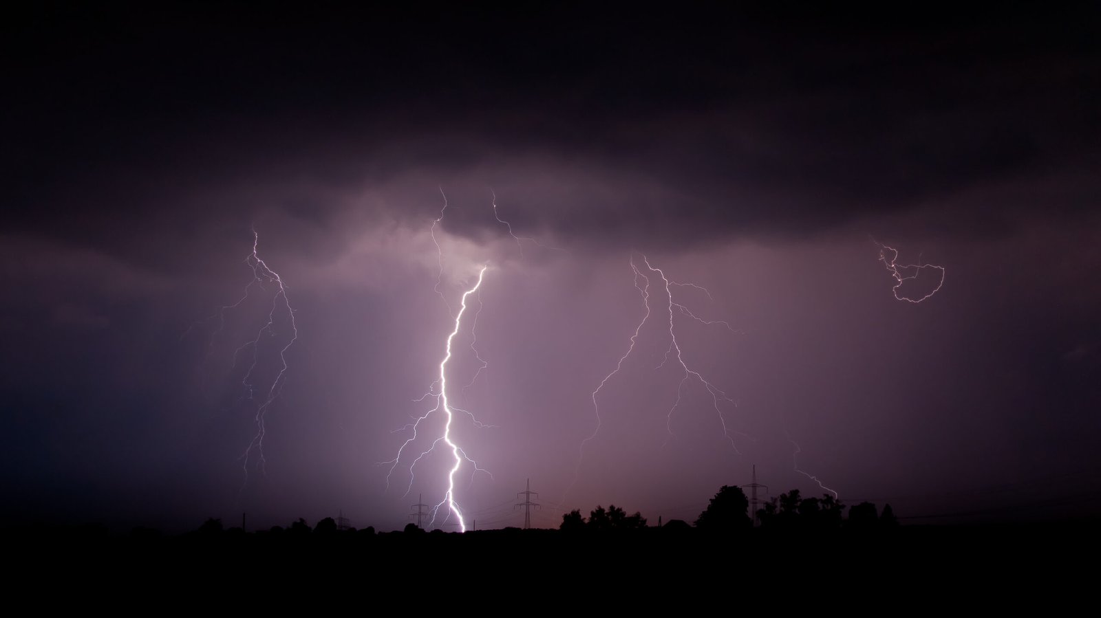
A cold front approaches late Thursday, sparking scattered thunderstorms after dark. Some storms carry risks of hail, gusty winds, and isolated severe activity, particularly east and northeast of the city. Rainfall totals remain uncertain but could exceed an inch in heavier bands.[4]
Post-Storm Cool-Down and Weekend Outlook
Friday follows with falling temperatures and clearing skies as the front departs. Highs drop into the 50s, accompanied by lighter northwest winds. This cool-down echoes recent swings, reminding locals of spring’s variability.
The weekend stabilizes with mid-60s highs under partly sunny skies. Dry conditions prevail initially, though models hint at monitoring for any lingering moisture. Here’s a snapshot of the extended forecast:
- Tuesday: High 62°F, partly cloudy, low 45°F.
- Wednesday: High 79-83°F, partly cloudy, low 62°F.[3]
- Thursday: High near 85°F, warm and windy, storms late.
- Friday: High 55-60°F, cooler and clearing.
- Saturday: High 65°F, partly sunny.
Planning Tips for the Volatile Week
With temperatures fluctuating 20 to 30 degrees daily, layering clothing proves essential. Secure outdoor items against Thursday’s gusts, which could top 20 mph. Storm spotters should stay alert Thursday night, as hail emerges as the chief hazard.
Event-goers, including Cardinals fans, face a warm but blustery opener – pack sunscreen and ponchos. Hydration matters amid the heat spike. Check updates from the National Weather Service for refinements.[1]
Key Takeaways:
- Warming accelerates Wednesday-Thursday to near-record 80s.
- Thursday night storms pose hail and wind risks.
- Cool-down Friday resets to seasonal norms.
As St. Louis savors the midweek spring preview before the stormy pivot, flexibility defines the best approach. This classic Midwest pattern underscores the region’s dynamic weather. What are your plans for the warm spell? Share in the comments below.