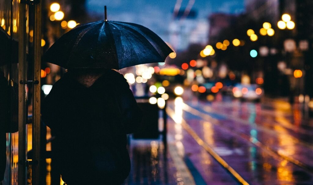

Southeast Texas Grapples with Prolonged Dry Spell (Image Credits: Pixabay)
Houston – Parched conditions across southeast Texas show signs of easing as rain chances rise this weekend following months of below-average precipitation.
Southeast Texas Grapples with Prolonged Dry Spell
Over the last six months, much of the greater Houston metro area recorded just 25 to 50 percent of normal rainfall, fueling drought concerns.[1][2] This deficit worsened after Houston wrapped up 2025 more than a foot short of its annual average rainfall, with only trace amounts falling in early 2026.[3]
Such dryness hits hardest during the cooler months, when vegetation growth slows anyway. Still, officials monitor reservoirs and soil moisture closely. Recent reports from the National Weather Service highlight persistent abnormal to moderate drought across the region.[4] Texas as a whole faces similar challenges, with limited relief from scattered showers in recent weeks.
Warm and Humid Midweek Pattern Holds Steady
Residents face another stretch of summer-like weather through Friday. Highs will climb into the low to mid-80s Fahrenheit, accompanied by gusty afternoon winds up to 20 mph and overnight lows near 70 degrees.[1]
Mostly cloudy skies dominate, with rising humidity making conditions feel muggy. A slight risk of light showers emerges late Friday as a cool front nears from the northwest. Coastal fog may form overnight into Saturday. These temperatures run well above seasonal norms for early March, extending the mild winter pattern.
Weekend Brings Spiky Rain Potential
A northwest disturbance teams up with ample atmospheric moisture to boost rain odds Saturday and Sunday. Models point to 0.5 to 1.5 inches possible inland of Highway 59 and I-69, though coastal zones face lower confidence for heavier totals.[1]
Temperatures stay in the low 80s under cloudy, humid skies, with a stalled frontal boundary lingering to the north. Greater rainfall appears likely farther north and central Texas, per forecast maps.[5]
- Saturday: Scattered showers and thunderstorms, highest chances afternoon.
- Sunday: Lingering moisture with possible heavier bands inland.
- Uncertainties: Frontal position and moisture depth could shift totals.
- Impacts: Urban flooding low, but watch for slick roads.
Forecasters urge preparedness, as dry soils may limit runoff but soak up much of the precipitation. Check updates from Space City Weather for the latest model runs.[1]
Outlook Beyond the Weekend
Warmth persists into early next week before another front arrives around Wednesday. That system could deliver additional showers or thunderstorms, offering more relief if patterns hold. Longer-range views suggest below-normal precipitation risks in parts of Texas through spring, underscoring the value of this weekend’s event.[6]
Key Takeaways
- Houston metro saw 25-50% of normal rain last six months amid drought.
- Weekend forecast: 0.5-1.5 inches inland, highs near 80°F.
- Monitor updates due to model uncertainties on rain placement.
Any substantial rainfall will provide a critical boost to reservoirs and gardens strained by the dry stretch. How will you make the most of the weekend weather? Share your thoughts in the comments.