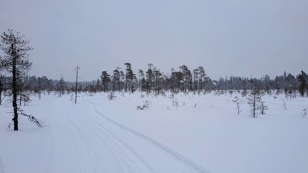
Storm Ignites in Rockies’ Shadow (Image Credits: Flickr)
A swift Alberta clipper winter storm, drawing frigid air from Canada, barrels across the northern United States this weekend, blanketing regions from the Midwest to the Mid-Atlantic with fresh snow.[1]
Storm Ignites in Rockies’ Shadow
The system sparked in the lee of the Canadian Rockies, where Arctic cold clashed with milder air along the polar jet stream’s edge.[1] This classic clipper setup propelled the low-pressure center eastward at high speed. Impacts began Sunday in the Dakotas and Iowa, escalating Monday across the Midwest and Ohio Valley. Strong winds amplified blowing snow, turning light accumulations hazardous. The storm’s dry nature stemmed from limited moisture, yet it packed enough punch for widespread wintry effects. Meteorologists noted its tie to a southern lobe of the Polar Vortex dipping southward.[1]
Marko Korosec of Severe Weather Europe highlighted the threat: “We are tracking a potentially impactful storm system that will barrel across parts of the nation this Sunday and Monday, leading to travel disruptions with a wintry mix of snow and ice.”[1]
Snow Swath Spans Key Corridors
Highest totals targeted Iowa with 4 to 8 inches, while Virginia and West Virginia faced over 10 inches in isolated spots.[1] Chicago and Detroit braced for several inches amid lake-effect enhancement near the Great Lakes. The Mid-Atlantic saw lighter but disruptive layers, with 2 to 4 inches possible from New York City to Philadelphia. Boston lingered on the northern fringe with minor coatings. Further south, Kentucky through North Carolina eyed sleet or freezing rain instead.
- Dakotas to Iowa: 4-8 inches, blowing snow dominant.
- Midwest cores (Chicago, Detroit): 3-6 inches.
- Ohio Valley: 2-5 inches.
- Mid-Atlantic (VA, WV): 6-12+ inches locally.
- NYC-Philly-Boston: 1-4 inches.
Ice and Wind Add to the Mix
Freezing rain threatened up to a half-inch of ice accretion from Kentucky to Virginia and parts of North Carolina.[1] Gusty winds, exceeding 30 mph in open areas, whipped snow into whiteout conditions. These factors followed Winter Storm Hernando’s recent toll, leaving roads vulnerable. Monday morning commutes faced the worst, with fresh powder and glaze imperiling highways. Power outages loomed where ice weighed on lines. The wintry cocktail demanded vigilance from emergency services.
Deep Freeze Locks In
Monday lows plunged into the mid-teens across the Great Lakes and Northeast, with 20s gripping the Midwest to Ohio Valley.[1] Southern fringes held in the 40s and 50s. This Arctic surge, anchored by a robust high over Canada, persisted through mid-week. The intensifying jet stream sustained the cold dome over eastern North America. Great Lakes cities like Detroit and Cleveland felt the brunt, with wind chills dipping below zero. Relief arrived post-Tuesday, as high pressure shifted eastward.
| Region | Monday Lows (°F) |
|---|---|
| Midwest/Ohio Valley | 20s |
| Great Lakes/Northeast | Mid-teens |
| Southward | 40s-50s |
Travel Woes and Broader Outlook
Airports and interstates from I-80 to I-95 reported delays, echoing patterns from prior storms. Schools and businesses prepared closures. The event marked a chilly prelude to meteorological spring. Warmer air returned late next week, potentially sparking severe weather farther south. Mid-term models hinted at volatile patterns replacing the freeze.
- Clipper hits Sunday-Monday, heaviest snow in Iowa, VA, WV.
- Ice risk elevates southern threats; winds fuel blowing snow.
- Cold peaks mid-week, eases thereafter with spring warmup.
This storm underscores winter’s stubborn hold, even as calendars flip to March. Residents should monitor updates and prepare for slick roads – what precautions are you taking? Tell us in the comments.