Most travelers who wander a black sand beach or hike a green volcanic slope never stop to think about what’s beneath their feet. What looks like a modest island rising a few thousand feet above the waves is often just the visible tip of something far larger, a mountain that begins its climb thousands of meters below the surface and only shows its final stretch to the sky. The scale of these hidden structures is honestly hard to wrap your head around until you see the numbers laid out. Here are seven islands where the real story is not what you see standing on the shore, but what’s quietly stacked beneath it.
Hawaii’s Big Island and the Colossus Called Mauna Kea
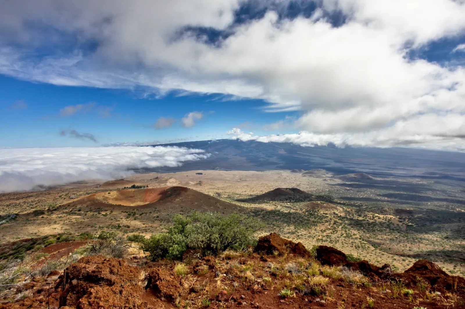
Everyone learns in school that Mount Everest is the tallest mountain on Earth, and by the standard measure of height above sea level, that’s still true. But measured from base to summit, the title actually belongs to Mauna Kea, the dormant volcano that forms much of Hawaii’s Big Island. According to the U.S. Geological Survey, Mauna Kea extends about 6,000 metres below sea level to the deep ocean floor, giving it a total base-to-summit height of nearly 10,211 metres, making it more than 1.3 kilometres taller than Everest by that measure.
What makes this even stranger is how unremarkable Mauna Kea looks from the beach. Standing on the beach, you’d never guess it: Mauna Kea only reaches 4,207 meters (13,803 feet) above the waterline, with the rest, nearly 6,000 meters, submerged and built up over hundreds of thousands of years of volcanic activity before it ever broke the surface. The weight of the volcano is so immense it actually bends the seafloor around it. The weight of the Hawaiian Islands actually depresses the Pacific Ocean floor in the region into a “Hawaiian Moat” that is nearly 20,000 ft deep. It’s a humbling thought that the mountain you’re driving up for stargazing at the summit observatories is only showing you the last third of its true height.
Surtsey, Iceland’s Island Born on Live Television of Nature
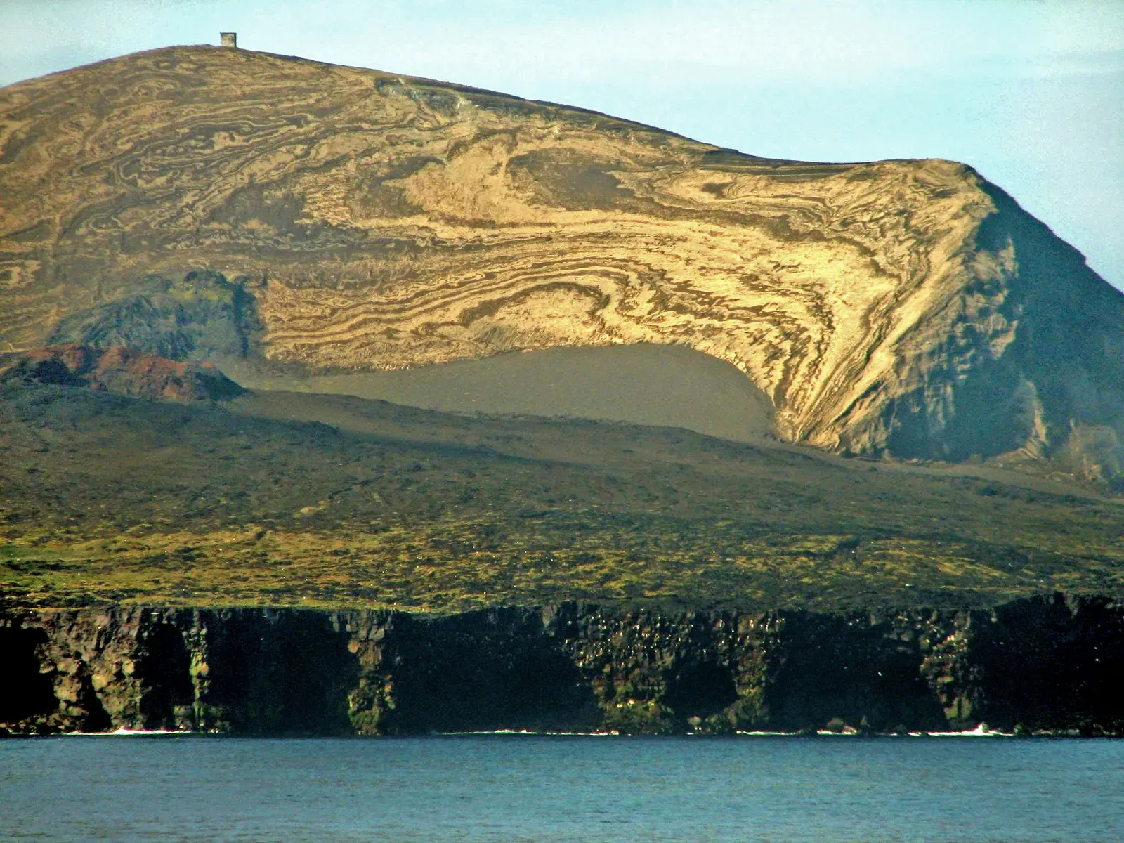
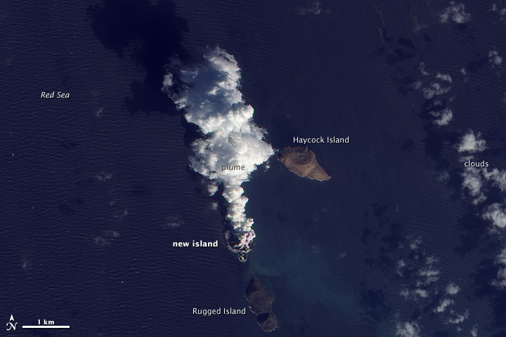
Not every volcanic island has been sitting there for millions of years. Surtsey, off the south coast of Iceland, is young enough that people who watched it happen are still alive to talk about it. On November 14, 1963, volcanic island Surtsey rose from the sea, with the eruption beginning about 130 meters below sea level.
The speed of it all was startling. The tephra production was tremendous, and an island had already been formed the day after, on November 15. By the time the eruption finally quieted down, Surtsey covered about 2.5 square kilometers with its highest point reaching 174 meters above sea level. Iceland wasted no time protecting it either. The government of Iceland declared Surtsey a nature reserve in 1965, turning the newborn island into one of the only places on the planet where scientists could watch, from the very first day, how bare volcanic rock slowly turns into living habitat.
Tristan da Cunha, the Remote Peak in the Middle of Nowhere
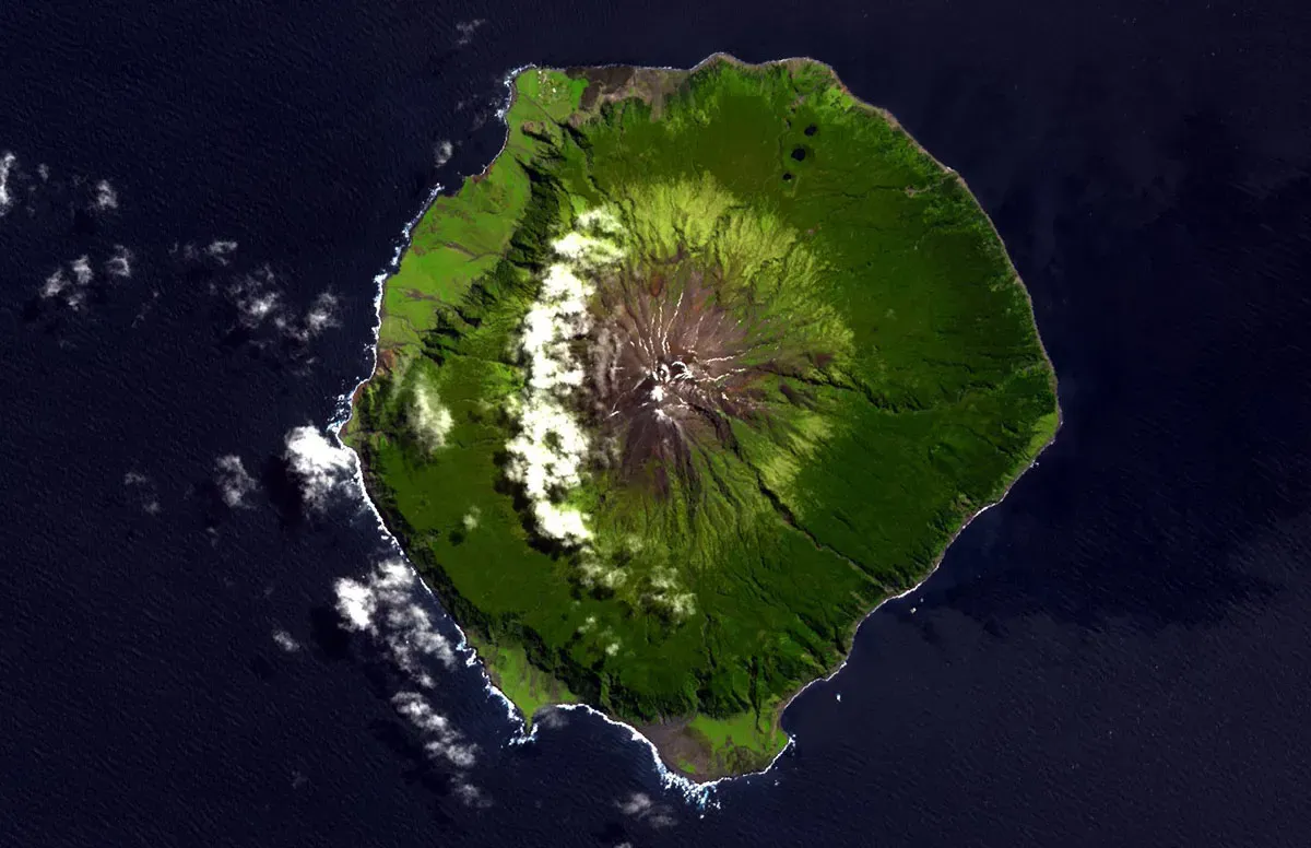
If you wanted to design the loneliest inhabited place on Earth, you’d end up with something close to Tristan da Cunha. Tristan da Cunha is part of the UK Overseas Territory of Saint Helena, Ascension and Tristan da Cunha, located in the South Atlantic Ocean, some 2,816 km from the nearest mainland of South Africa. It’s not an exaggeration to call it isolated. It has been occupied since around 1816 and is home to the most remote island community in the world.
The whole island really is just the summit of a much larger structure jutting out of deep ocean crust. At 2,062m, Queen Mary’s Peak, the summit of the shield volcano that forms Tristan Island, is the highest point in the Tristan da Cunha archipelago. This isn’t some extinct relic either, it’s still capable of surprising its residents. The island is still volcanically active with the last volcanic eruption occurring in 1961, resulting in a full evacuation of the island’s population for two years. A community of a few hundred people living directly on top of an active shield volcano, thousands of kilometers from the nearest continent, is the kind of detail that sounds invented until you check the map.
Pico Island, the Azores Peak That Tops the Longest Mountain Range on Earth
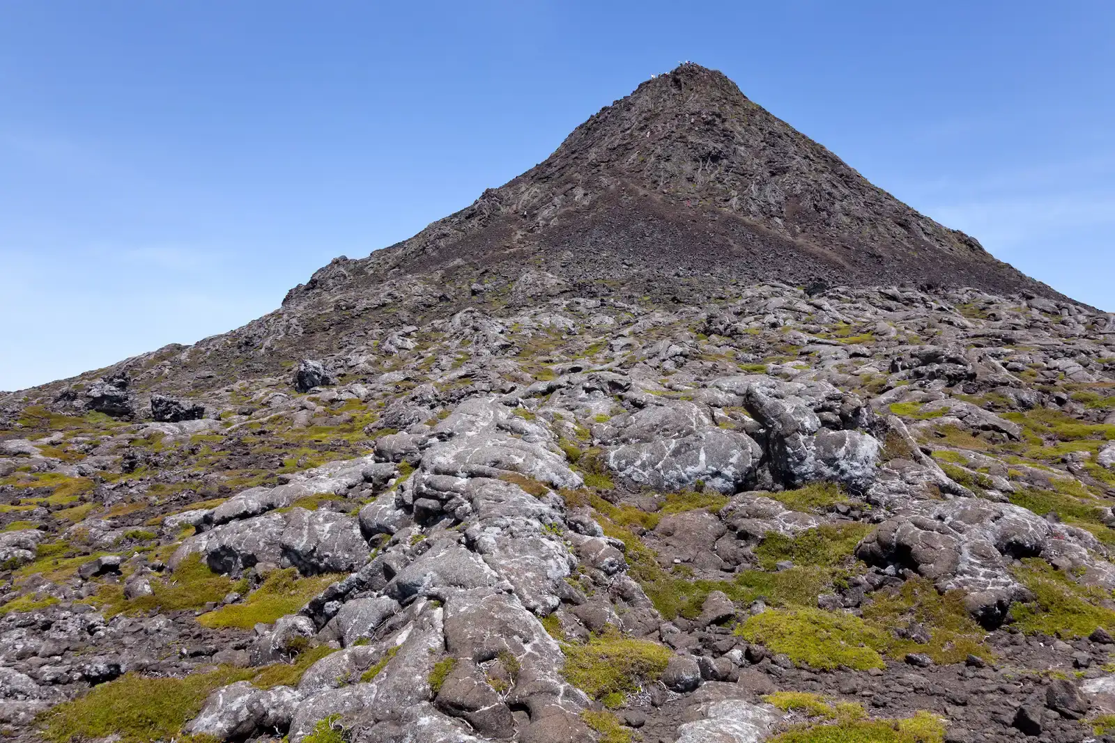
Portugal’s highest point isn’t on the mainland, and it isn’t even close. It sits out in the middle of the Atlantic on Pico Island, part of the Azores archipelago. Mount Pico is a currently dormant stratovolcano, the highest mountain in Portugal at 2,351 metres above sea level, and one of the highest Atlantic mountains, more than twice the elevation of any other peak in the Azores.
What makes Pico especially remarkable is what lies beneath it, not just above it. With an altitude of 7,711 feet (2,351 m) above sea surface and 20,000 feet (6,098 m) below sea surface to the sea floor, Monte Pico in the Azores Islands is the highest underwater mountain in the world. That places its summit at the crest of the Mid-Atlantic Ridge, the enormous underwater mountain chain running down the middle of the Atlantic Ocean. Pico’s slopes still show scars of activity within living memory, since an eruption in 1562 to 1564 on the southeast flank produced lava flows which reached the sea, and another flank eruption in 1718 also produced flows which reached the coast. The vineyards planted in the volcanic soil there have since been recognized as a UNESCO World Heritage Site, which is a strange but fitting reminder that even a violent geological history can eventually settle into something quietly beautiful.
Santorini, the Greek Island Shaped by Its Own Collapse
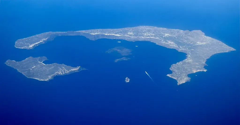
Santorini’s crescent shape isn’t an accident of erosion or tectonics in the usual sense. It’s the visible edge of a caldera, the collapsed rim of a volcano that blew itself apart in one of the largest eruptions in recorded human history, sometime around 1600 BCE. That eruption is widely believed by archaeologists to have devastated the Minoan settlement at Akrotiri and reshaped the entire island chain into the ring of cliffs and islets tourists photograph today.
The volcano beneath Santorini hasn’t gone anywhere, it’s simply resting. The small islet of Nea Kameni, sitting in the center of the flooded caldera, is the modern-day above-water expression of ongoing volcanic activity, and Greek and international scientists monitor the area closely for signs of unrest. What tourists experience as a postcard sunset over the caldera rim is really a view across the collapsed crater of a volcano that erupted with world-altering force. It’s one of the more sobering things to consider while sipping wine on a cliffside terrace in Oia, that the calm water below was once the throat of a monster.
Jeju Island, South Korea’s Volcanic Getaway Built by a Shield Volcano
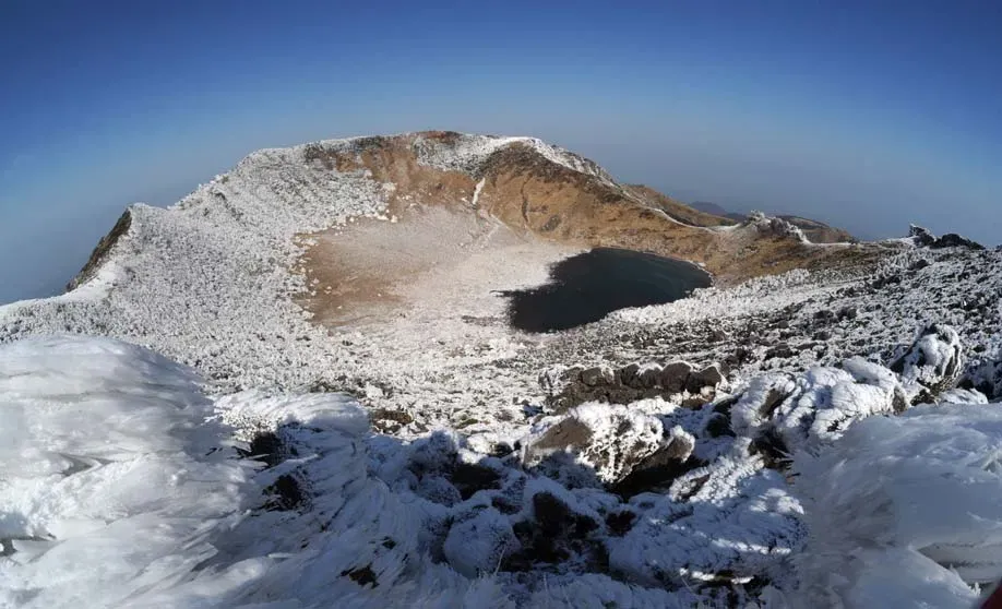
Jeju is South Korea’s most popular honeymoon and vacation destination, known for citrus orchards, waterfalls, and a mild climate that feels almost tropical compared to the mainland. Beneath all that charm sits a broad shield volcano, formed through repeated eruptions over roughly two million years, its gentle slopes a textbook example of how basaltic lava builds land up gradually rather than explosively.
The island’s centerpiece, Hallasan, is South Korea’s tallest mountain and the dormant summit crater of that same shield volcano, its crater lake sitting inside the caldera at the very top. Jeju is scattered with hundreds of smaller volcanic cones known locally as oreum, satellite vents that erupted alongside the main structure and now dot the landscape as grassy hills. UNESCO has recognized the island’s lava tubes and volcanic landforms for their geological significance, and walking through the underground tunnels carved by ancient lava flows makes it obvious this was never just a pretty island, it’s a volcano that happened to grow scenery.
Réunion Island, Home to One of the Most Active Volcanoes on the Planet
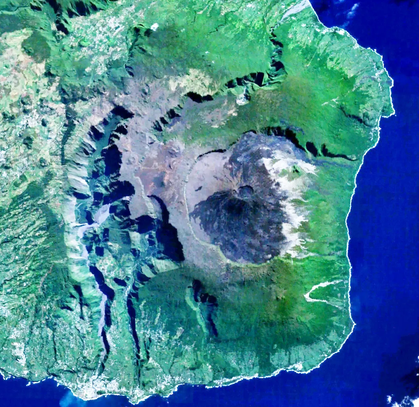
Tucked in the Indian Ocean east of Madagascar, Réunion Island is a French overseas territory built around two volcanic massifs, one long extinct and one very much alive. Piton de la Fournaise, the active volcano, is among the most frequently erupting volcanoes in the world, with new lava flows appearing every few years and sometimes multiple times within a single year.
The island rises dramatically from the ocean floor, its interior carved into deep cirques and ravines that hint at just how much material has piled up over the volcano’s long eruptive history. Unlike Hawaii’s shield volcanoes, Piton de la Fournaise erupts frequently but generally with relatively low explosivity, which is part of why locals and visitors alike can often watch the glow of fresh lava from a safe distance rather than fleeing the island altogether. It’s a rare example of a volcano that coexists comfortably with a dense human population, drawing hikers and volcano tourists who want to see an eruption up close without the catastrophic risk that comes with more explosive systems elsewhere.
The Ocean Hides More Than It Reveals
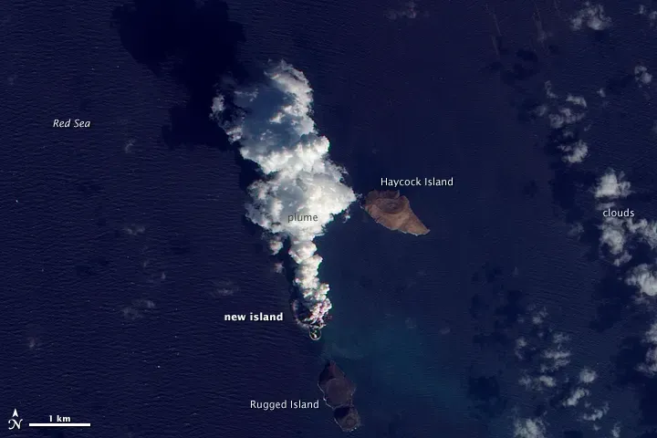
Looking at these seven islands together, the same lesson keeps repeating itself. What we call an island is frequently just the last visible fraction of something enormous, built slowly over hundreds of thousands or millions of years, most of it hidden by water that gives away nothing about the scale underneath. I find that genuinely more impressive than any single fact about height or eruption dates, because it reframes how you think about the ground itself. Solid land, it turns out, is sometimes just the tip of something that’s still very much alive down below.