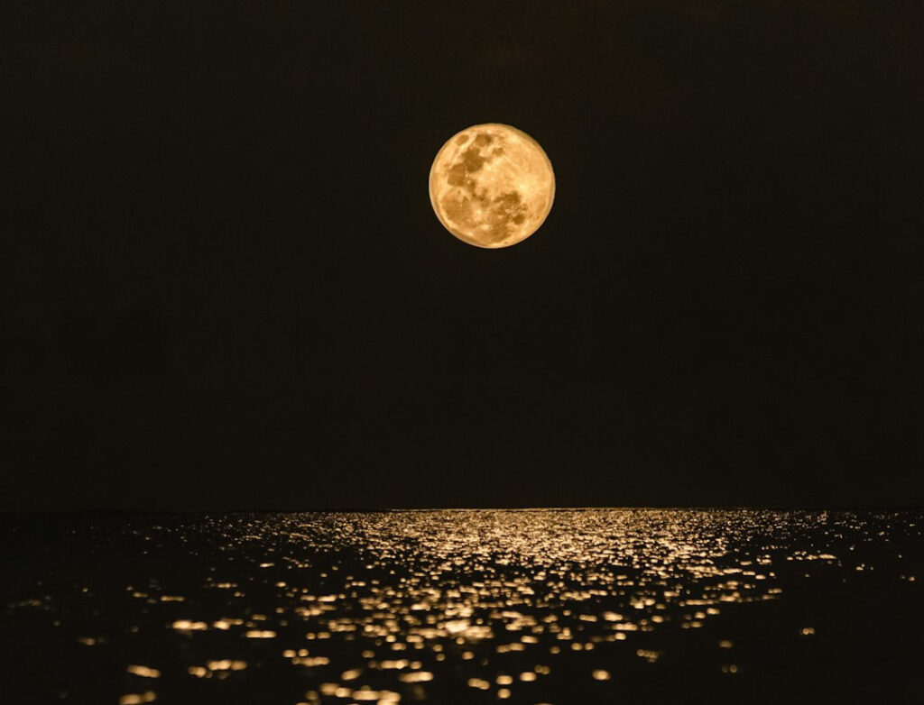
Most people assume weather folklore is just superstition passed down by bored farmers with nothing better to do than rhyme about clouds. Turns out, meteorologists have spent decades quietly confirming that a surprising number of these old sayings are shockingly accurate, encoding real principles of light scattering, humidity, pressure gradients, and thermodynamics centuries before anyone had a barometer in their barn.
Here’s what the data actually say, and a few of these hold up so well they might change how you look at tonight’s sunset. Some are basically folk-language versions of concepts meteorology students still learn in their first year.
#1 – Red Sky At Night, Sailor’s Delight
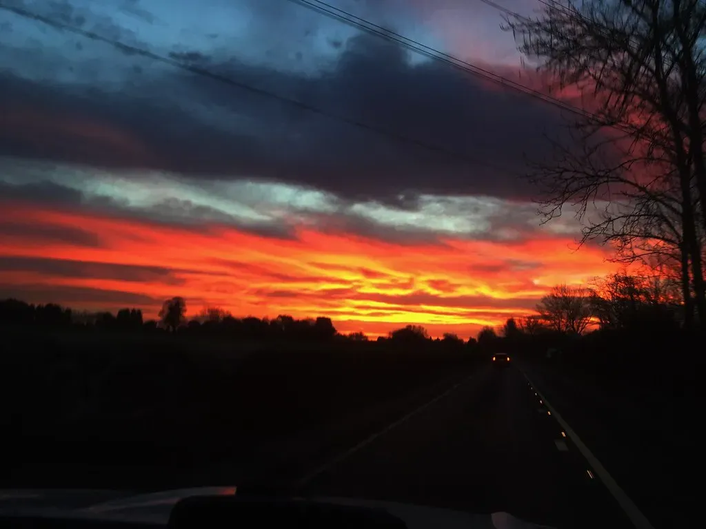
This is the granddaddy of all weather sayings, and it’s rooted in genuine optical physics. At sunset, sunlight travels through more atmosphere at a low angle, scattering shorter blue wavelengths away and letting red and orange light dominate.
A red sunset typically means dry, dust-filled air is moving in from the west, which in most temperate latitudes is where tomorrow’s weather comes from. Since storm systems generally track west to east, a red evening sky suggests the stable air mass responsible for that color is heading your way. A red sunrise works the opposite way: the dry air has already passed, and the next system, likely wetter, is now approaching. Pilots and sailors still watch for this pattern because it holds up remarkably well under predictable westerly wind flow, though it gets shakier near coastlines or in the tropics where weather doesn’t move in tidy bands.
When it is evening, ye say, It will be fair weather: for the sky is red. And in the morning, It will be foul weather to day: for the sky is red and lowring.
Matthew 16:2–3, King James Bible
#2 – Ring Around The Moon, Rain Will Come Soon
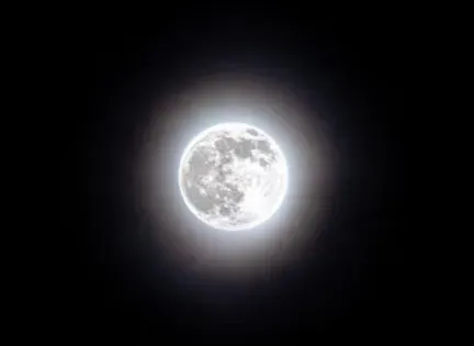
Long before satellite imagery, people were essentially reading cloud composition with their bare eyes. A halo around the moon forms when moonlight passes through ice crystals in high-altitude cirrostratus clouds, bending the light into a 22-degree ring.
These wispy cirrostratus clouds are frequently the leading edge of a warm front, which often arrives 12 to 24 hours before actual rainfall. So the ring isn’t causing the rain, it’s a visual signature of the exact cloud type that statistically precedes precipitation. No ice crystal halo forms without thin, high cirrostratus cover, and that cloud type genuinely correlates with incoming storm systems far more often than clear skies do. Meteorologists still use “halo watching” informally as a rough gut check before consulting radar, and the hit rate is far better than random chance in the 24 hours before a frontal passage.
Fast Facts
- The lunar halo appears at almost exactly 22 degrees from the moon, caused by hexagonal ice crystals bending light.
- Cirrostratus clouds typically form 20,000 to 25,000 feet above the ground.
- Warm fronts trailing these high clouds often bring rain within 12 to 24 hours.
- The same optical trick can appear around the sun, producing a “sun halo” or sun dog.
#3 – Mackerel Sky, Mackerel Sky, Never Long Wet, Never Long Dry
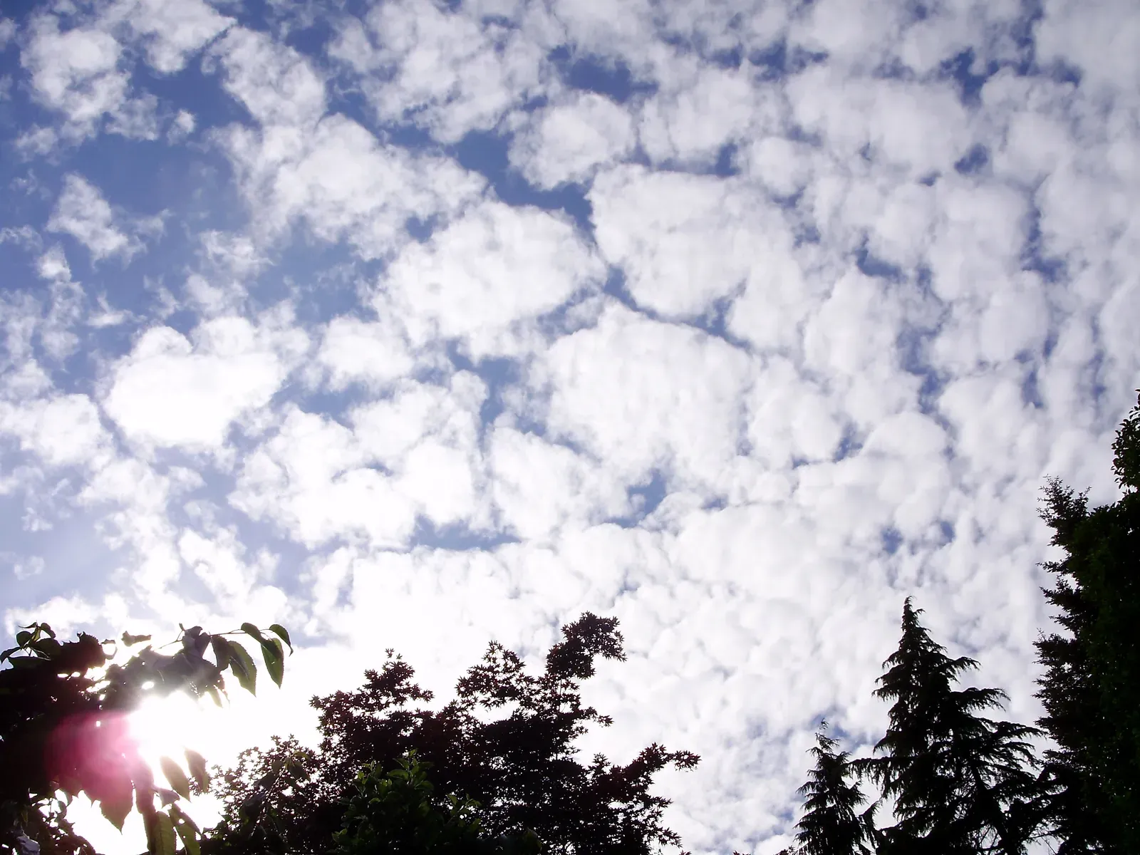
Sailors named this one after the sky’s resemblance to fish scales, and the pattern reveals genuine atmospheric instability. A “mackerel sky” refers to cirrocumulus or altocumulus clouds arranged in rippled, scale-like patterns caused by turbulence at high altitudes.
This rippled texture forms when a layer of relatively unstable air sits above a more stable layer, creating small convective cells that show up as repeating patterns. That kind of layering tends to be transitional rather than settled, meaning conditions are actively shifting instead of locked into a stable stretch. That instability is exactly why the saying insists the weather “never long wet, never long dry” after this sky type shows up. Modern satellite loops confirm this cloud pattern shows up during transitional weather regimes far more often than during long, stable high or low-pressure stretches.
#4 – When The Wind Is In The East, It’s Neither Good For Man Nor Beast

Wind direction sayings get dismissed as regional nonsense, but this one tracks real pressure system behavior across North America and Western Europe. In these regions, weather generally moves west to east, so easterly winds usually signal that a low-pressure system has wrapped itself around and is now pulling air in from an unusual direction.
Easterly winds often mean a storm system is nearby or stalled rather than simply passing through, which explains the persistent misery described in the rhyme. Low-pressure systems rotate counterclockwise in the Northern Hemisphere, so if you’re standing on the southern edge of a storm, you’ll feel wind coming from the east as it approaches or lingers. Fishermen relied on this heavily because fish become less active during the pressure drops tied to incoming storms, linking wind direction directly to feeding behavior. Some modern anglers argue pressure alone doesn’t fully explain fish behavior, but the wind-direction-to-storm-proximity link itself is solid meteorology.
#5 – Rain Before Seven, Fine Before Eleven
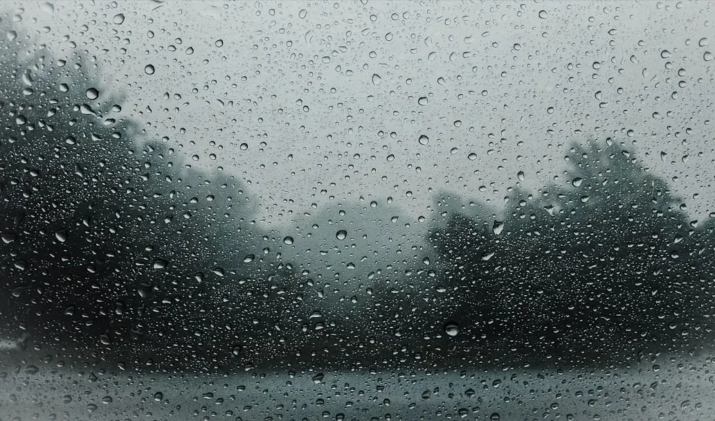
This one sounds oddly specific for a folk saying, and that specificity is actually the point. Early morning showers are frequently tied to fast-moving frontal systems or overnight convective activity that simply runs out of energy as the sun rises and conditions shift.
Many overnight rain events are driven by weak, fast-moving disturbances rather than deep, persistent storm systems, meaning they often clear within a few hours regardless of when they started. The four-hour window baked into the rhyme roughly matches the lifespan of a fast-moving band of showers under moderate wind flow. It fails badly during slow-moving, multi-day frontal systems or tropical rain bands that can linger a full day or more. Still, in areas with fast zonal wind flow, quick overnight rain really does tend to be transient rain, not the start of a washout.
#6 – Clear Moon, Frost Soon
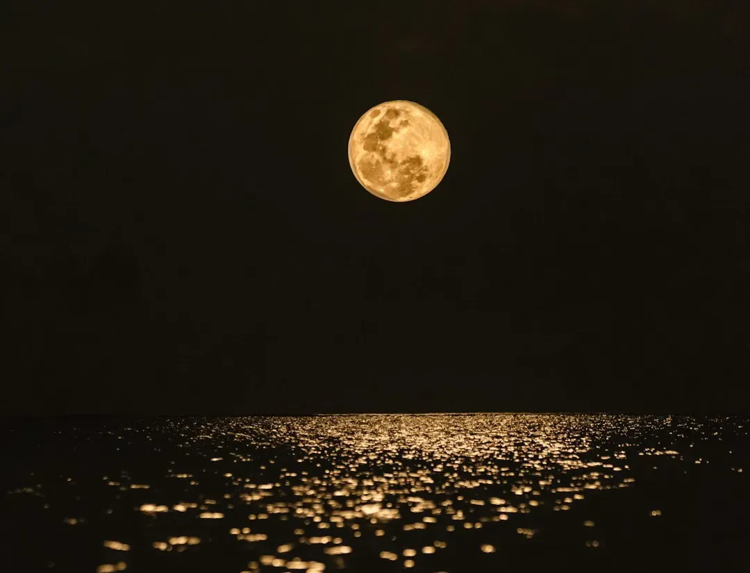
Farmers depended on this one to protect crops, and the physics behind it is textbook radiative cooling. Clouds act like a blanket, trapping heat radiated from the ground after sunset and keeping nighttime temperatures higher than they’d otherwise be.
On a clear night with no cloud cover, that heat escapes freely into space, letting ground-level temperatures drop fast enough to hit the frost point even after a mild day. A bright, visible moon is essentially visual confirmation that the sky is cloud-free, exactly the condition that lets radiative heat loss accelerate. Farmers watching for a clear moon weren’t being superstitious, they were reading the sky for a missing blanket. Modern frost advisories from agricultural extension offices still flag clear, calm nights as the primary frost risk, basically restating this centuries-old rhyme in scientific language.
#7 – Swallows Flying Low, Expect Rain And A Blow
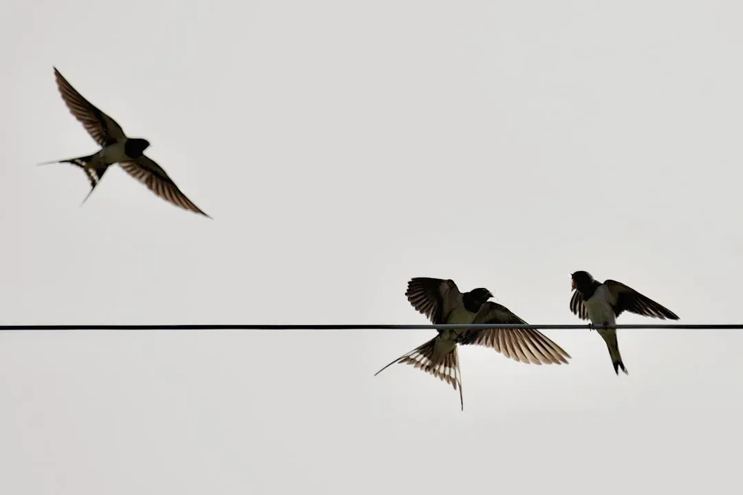
Bird behavior sayings get mocked as pure superstition, but this one has a legitimate explanation tied to insect behavior and air pressure. As humidity rises ahead of a storm, insects fly lower because moisture-heavy air is denser and harder for their wings to push against at altitude.
Swallows and other insect-eating birds simply follow their food source downward, meaning low-flying birds are really just chasing low-flying bugs reacting to humidity. Dropping barometric pressure ahead of a storm can also affect birds’ inner-ear sensitivity, prompting many species to seek shelter or shift flight patterns before a system arrives. Researchers studying pre-storm behavior have documented measurable altitude and flocking shifts across multiple bird species tied to these pressure drops. This saying stacks two real mechanisms, insect flight physics and barometric sensitivity, into one tidy rhyme.
#8 – When Smoke Hangs Low And Hugs The Ground, Rain Will Soon Come Around
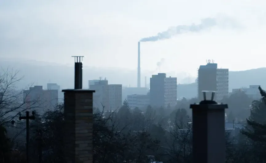
Chimney smoke turned out to be a surprisingly accurate portable barometer for anyone paying attention. Under normal high-pressure conditions, warm air rises freely and carries smoke upward in thin, clean columns because the atmosphere is stable and unobstructed.
When low pressure moves in ahead of a storm, the air near the surface often becomes stagnant, trapping smoke and other particles close to the ground instead of letting them rise. This happens because approaching storms frequently bring temperature inversions or added humidity that suppress normal vertical mixing near the surface. Farmers without instruments could read pressure trends just by watching how their chimney smoke behaved each morning. Modern smoke-plume studies used in wildfire and pollution monitoring confirm the same basic principle: smoke behavior is a genuine, visible proxy for atmospheric stability.
Worth Knowing
- Thin, rising smoke columns usually signal stable high pressure and fair weather ahead.
- Smoke that flattens and hugs the ground often points to a temperature inversion.
- Wildfire and pollution models still use this same stability principle to predict smoke plume behavior.
- Checking chimney smoke each morning once served as an informal, no-cost pressure gauge for farmers.
#9 – When Leaves Show Their Undersides, Be Very Sure That Rain Betides
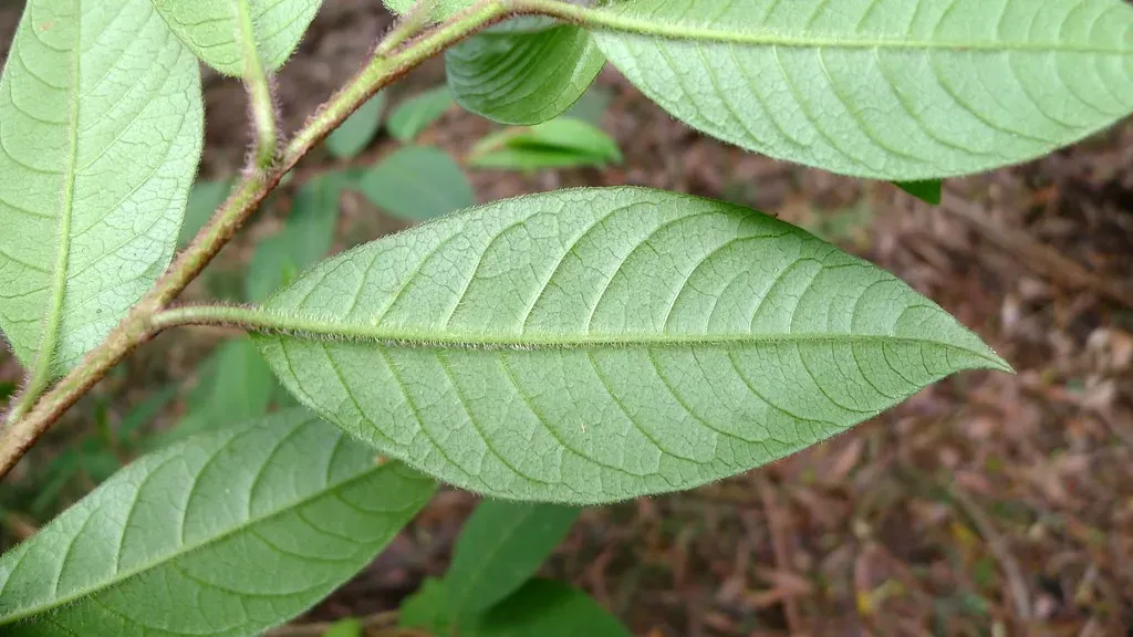
This saying sounds almost mystical, but the mechanism is straightforward plant biology responding to humidity. Many tree leaves, especially maples and oaks, have different structures on their top and bottom surfaces, and rising humidity ahead of a storm softens leaf stems and makes them curl.
Increased moisture makes leaves more pliable, letting gusty pre-storm winds flip them over more easily and expose their paler undersides in a way that’s obvious from a distance. This isn’t the leaves “predicting” rain consciously, it’s a mechanical response to two things that both precede storms: rising humidity and increasing wind gustiness. Botanists studying leaf hygroscopic behavior have confirmed that humidity measurably affects stem flexibility across many broadleaf species. So when an entire canopy suddenly looks lighter or silvery, it’s really a whole forest acting as a large-scale humidity sensor.
#10 – When The Dew Is Heavy On The Grass, Rain Will Never Come To Pass
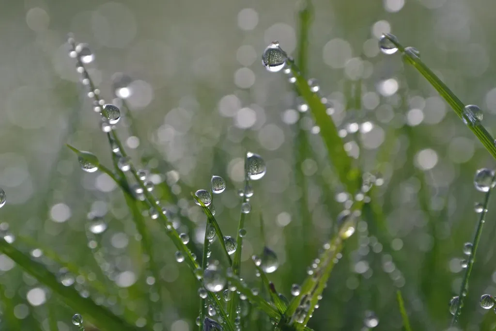
Here’s where old folklore actually gets it more right than most people expect, and it connects directly to the same physics as frost formation. Heavy dew forms overnight specifically under clear, calm conditions, because clear skies let the ground radiate heat away efficiently, cooling grass blades below the surrounding air’s dew point.
This means heavy dew is essentially proof that skies were clear and winds were calm overnight, conditions typically tied to stable high-pressure systems rather than incoming storms. If clouds or wind had been present, that radiative cooling would have been disrupted and dew formation would have been minimal. So heavy dew the next morning is a delayed signal that a stable pattern held through the night. It only holds locally and short-term, since larger weather systems can still shift within a day regardless of one clear night, but the underlying mechanism is sound.
#11 – When Cows Lie Down In The Pasture, Rain Is Not Far Behind
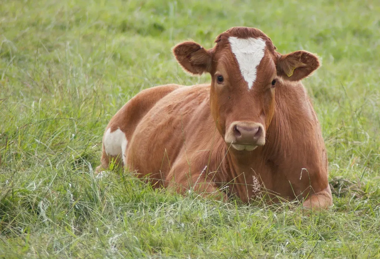
Farmers have sworn by this one for generations, and while it’s the most debated saying on this list, there’s a plausible physiological explanation buried in it. Some researchers argue cows may lie down more as dropping barometric pressure affects joint comfort or digestion, similar to how some people report joint pain before storms.
Falling atmospheric pressure has been documented to affect inner-ear and soft-tissue sensations in various mammals, which could explain shifts in resting behavior. This saying draws far more skepticism than most others here, since controlled studies on cattle resting patterns have produced mixed, inconsistent results. Cows simply lie down periodically throughout the day regardless of weather, and confirmation bias makes farmers remember the times it “worked” while forgetting the misses. It’s included here because pressure sensitivity in mammals is real biology, even if the cow-specific claim remains scientifically shaky.
Quick Compare
- Falling pressure: linked to joint discomfort in humans, altered ear pressure in mammals, and lower insect flight altitude.
- Rising pressure: generally tied to clearer skies, calmer winds, and steadier animal behavior.
- Sudden pressure drops: still one of the most reliable single predictors of a fast-approaching storm.
#12 – A Year Of Snow, A Year Of Plenty
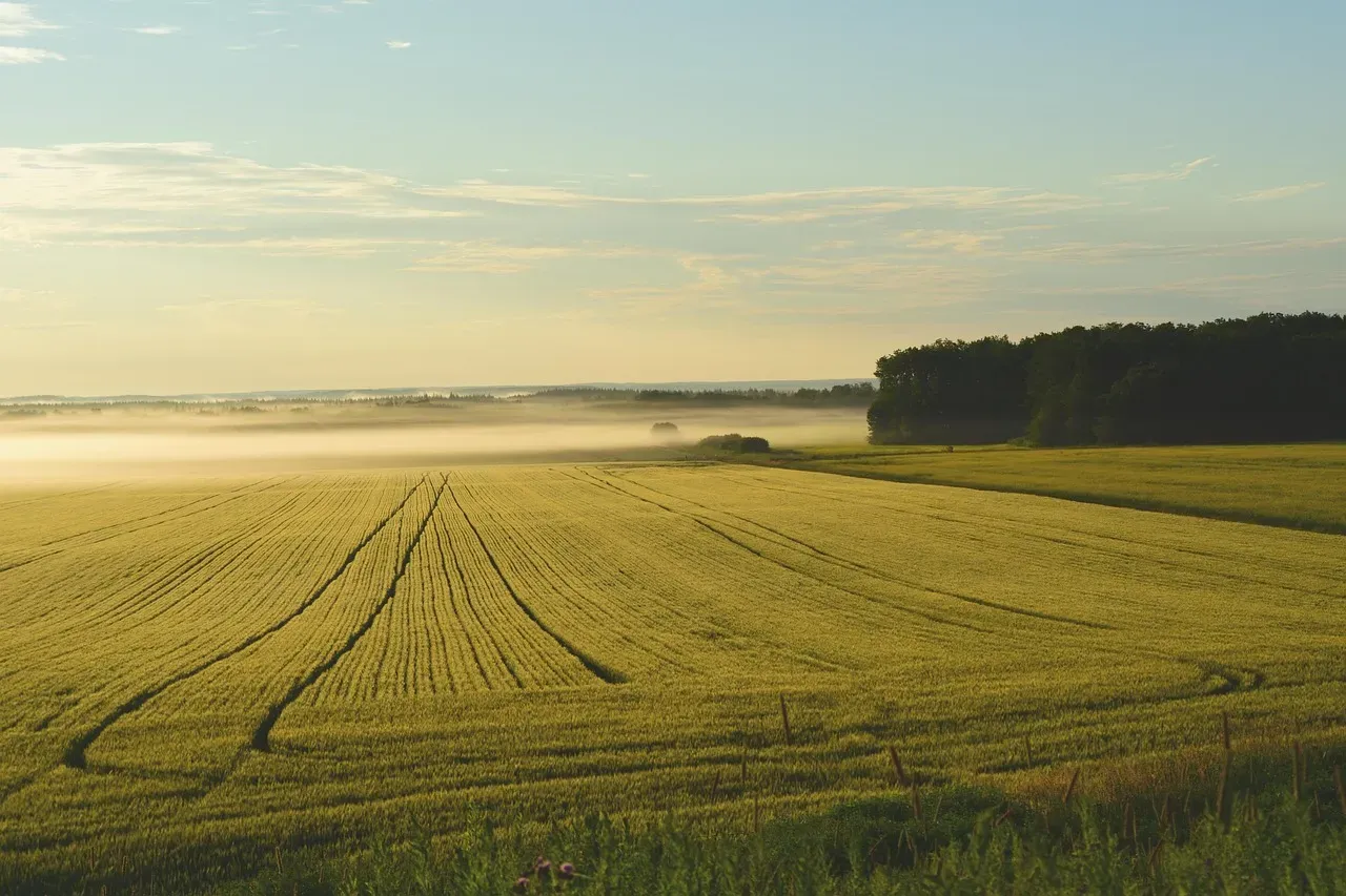
This one connects directly to soil science and agricultural physics rather than atmospheric prediction alone. Snow acts as a natural insulating blanket over farmland, protecting soil and dormant plant roots from extreme temperature swings and keeping the ground from freezing as deeply as it would if left bare.
A thick, consistent snowpack also melts gradually in spring, releasing moisture into the soil slowly instead of causing a sudden runoff event that erodes topsoil or floods fields. That slow-melt process is critical for planting season because it recharges groundwater and soil moisture right when seeds need steady hydration to germinate. Regions with reliable, heavy snowpack historically saw more predictable growing conditions than years with minimal snow, where soil dried out faster and root systems took damage from temperature swings. Agricultural scientists studying snowpack-to-yield correlations in the American Midwest and parts of Europe have found measurable links between snowpack depth and later crop performance.
#13 – When The Wind Blows From The South, It Brings The Rain In Its Mouth
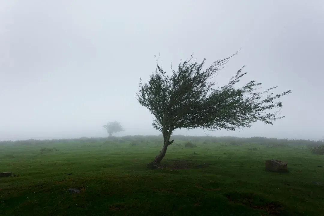
This directional saying holds up especially well in regions influenced by the Gulf of Mexico or similarly warm, moisture-rich bodies of water. Southerly winds in the Northern Hemisphere often pull warm, humid air up from tropical or subtropical sources, directly feeding moisture into storm systems as they develop or intensify.
A shift to southerly wind frequently signals that a low-pressure system is drawing in moisture ahead of its arrival, essentially loading the atmosphere with fuel for heavy rainfall. This is standard meteorological knowledge today, but the wind-to-moisture connection was clearly understood intuitively by earlier generations with zero formal training. Meteorologists still track southerly wind shifts as an early indicator when forecasting severe weather potential across the central and southeastern United States. The saying’s regional specificity is a feature, not a flaw: it wouldn’t hold the same way where southerly winds pull air from cold or dry sources instead.
#14 – When The Glass Falls Low, Prepare For A Blow; When It Rises High, Let All Your Kites Fly
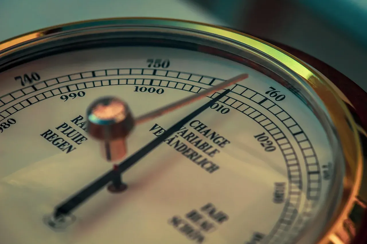
This final saying is essentially folklore’s direct nod to barometric pressure itself, and it might be the most scientifically transparent entry on this entire list. “The glass” refers to a barometer, and falling pressure readings have long been tied to approaching storms because low pressure lets air rise, cool, and condense into clouds and precipitation more readily.
A rapidly falling barometer reading remains one of the single most reliable short-term storm indicators used by meteorologists today, often preceding severe weather by several hours. Rising pressure typically means sinking, stable air associated with clear skies and calm conditions, exactly the kind of day suited for flying a kite. What makes this one remarkable is that it doesn’t hide the physics behind a metaphor the way most weather folklore does, it names the actual instrument and process almost directly. Ship captains and rural households that could afford even a simple barometer relied on this rhyme as a literal operating instruction, and it’s less folklore than an early public-education slogan for pressure-based forecasting.
Why It Stands Out
- A falling barometer is still one of the fastest, cheapest ways to sense an approaching storm.
- Forecasters watch the trend of pressure readings over hours, not just a single number, for accuracy.
- Home barometers remain popular with sailors, farmers, and outdoor guides for exactly this reason.
The Bottom Line
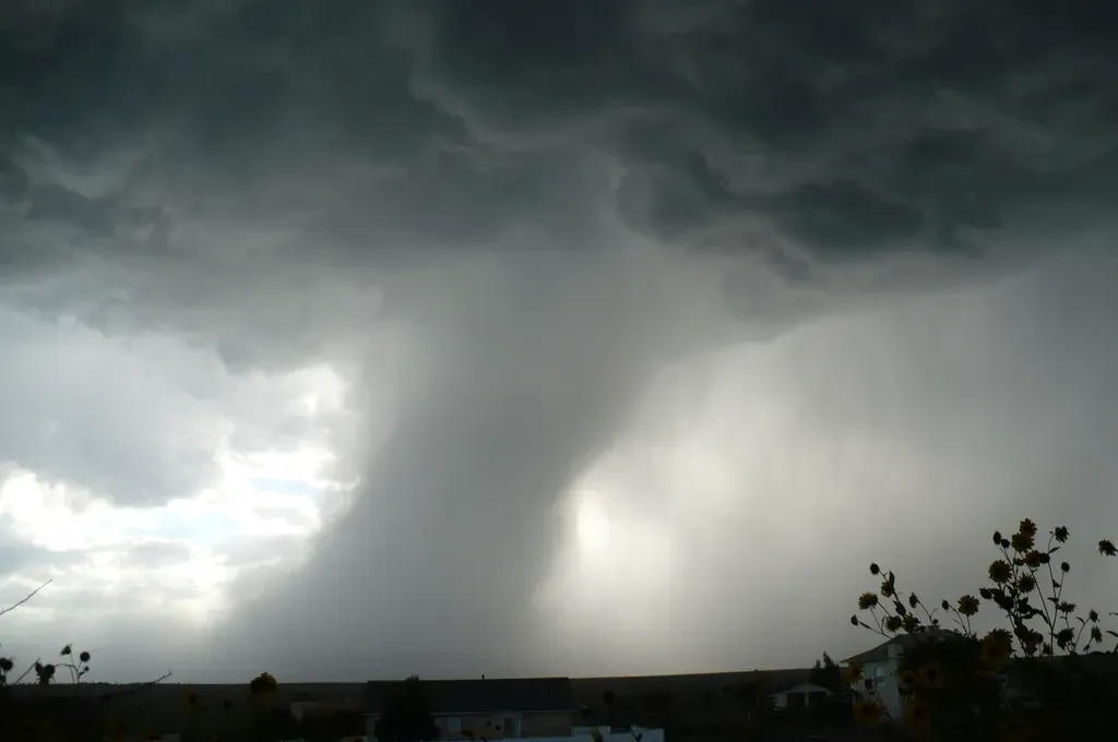
Old weather sayings aren’t harmless nonsense, they’re centuries of trial-and-error observation that quietly encoded real atmospheric physics long before instruments existed. From radiative cooling behind frost warnings to barometric pressure driving storm predictions, the strongest sayings on this list hold up because they’re tracking genuine mechanisms, not superstition.
That said, a few, like the cow-lying-down claim, lean more on plausible physiology than solid evidence, and honestly, some deserve more skepticism than they get credit for. The most reliable ones consistently involve pressure, humidity, or radiative heat loss, which is exactly what modern forecasting still relies on today. It’s a strange kind of comfort, knowing that generations of people without a single sensor still managed to read the sky more accurately than most of us do now, glued to an app that’s often wrong anyway.