Most people assume the roads Julius Caesar’s legions marched on disappeared centuries ago, swallowed by asphalt and forgotten by history books. They’re wrong. In a dozen places across Europe, the exact route – and sometimes the exact stones – that Roman engineers laid down more than 2,000 years ago is still guiding modern traffic every single day.
Highway departments in Italy, Spain, France, and England never bothered rerouting around these ancient paths. They just paved right over the top of them. Here’s what road historians and engineers actually say about the Roman roads still carrying cars, trucks, and cyclists right now, and why the empire’s old shortcuts still outsmart modern GPS.
#1 – Via Appia, Italy: The “Queen of Roads” That Refuses to Retire
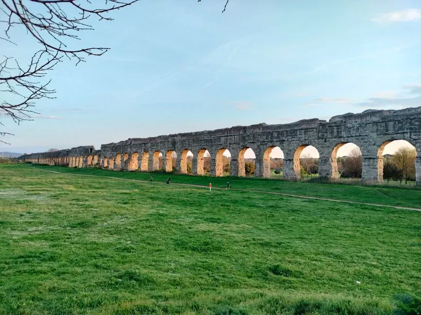
The Via Appia isn’t just old – it’s the oldest continuously relevant road on Earth, and Guinness World Records agrees. Stretches of it date back to its original construction in 312 BC, when Appius Claudius Caecus built the main connection between Rome and Brindisi in southeast Italy. Locals once called it the Regina Viarum, the Queen of Roads, and for centuries it was the empire’s most vital military and trade artery.
Most tourists don’t realize the “new” Via Appia isn’t entirely new. Today’s route follows a course redefined by Pope Pius VI centuries later, but parts of the original road are still visible and, remarkably, still in use. Cyclists, joggers, and actual cars share the same uneven volcanic-stone surface Roman infantry once marched on. Engineers studying the road note it’s still functioning after roughly 2,300 years of continuous existence – a durability record no modern asphalt highway is projected to touch.
Fast Facts
- Construction began in 312 BC under censor Appius Claudius Caecus
- Originally linked Rome to Capua before later extending to Brindisi
- Nicknamed Regina Viarum, meaning “Queen of Roads”
- Paved with tightly fitted blocks of hard volcanic basalt
#2 – Via Aurelia, Italy: A Coastal Highway Hiding in Plain Sight
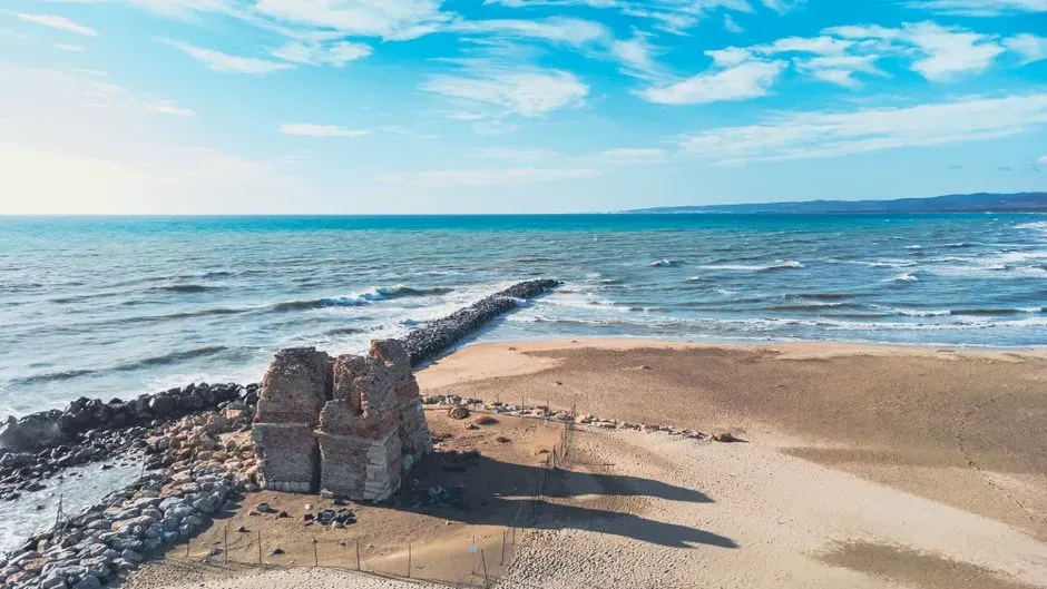
The Via Aurelia proves that the busiest modern highways sometimes hide the least visible ancient history. Built around 241 BC to connect Rome with the coastal cities of Etruria, it eventually stretched all the way into modern-day France, originally serving military logistics before becoming a civilian trade route along the Tyrrhenian coast.
Here’s the part that catches people off guard: much of the ancient route is now followed by Strada Statale 1 (SS1), a major highway still carrying daily traffic. Unlike the Appian Way’s tourist-friendly cobblestones, this one is almost entirely buried under modern pavement. Millions of commuters drive a Roman military route without ever knowing it. A few original paving stones still peek through near Civitavecchia and Pisa, but only for anyone willing to pull over and look.
#3 – Via Flaminia, Italy: The Emperor’s Tunnel Still in Daily Use
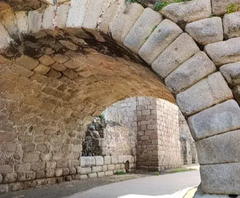
This is where things get genuinely strange – an emperor’s tunnel is still open for traffic. Today the route runs parallel to, or directly beneath, Strada Statale (SS) 3. Emperor Vespasian cut a new tunnel through the pass of Intercisa (Furlo) in AD 77, and later inscriptions show Trajan personally ordered repairs to several bridges along the road.
That’s not a museum piece behind glass – it’s an active two-lane road right now, and drivers still pass beneath Vespasian’s original dedicatory inscription without a second glance. Most people driving through have no idea they’re literally inside a tunnel a Roman emperor personally commissioned. Heavier modern traffic bypasses the old route through newer tunnels and the autostrada, which leaves the ancient Flaminia as the scenic, slower alternative for anyone who wants to drive through actual history.
#4 – Via Aemilia, Italy: The Backbone of the Modern SS9
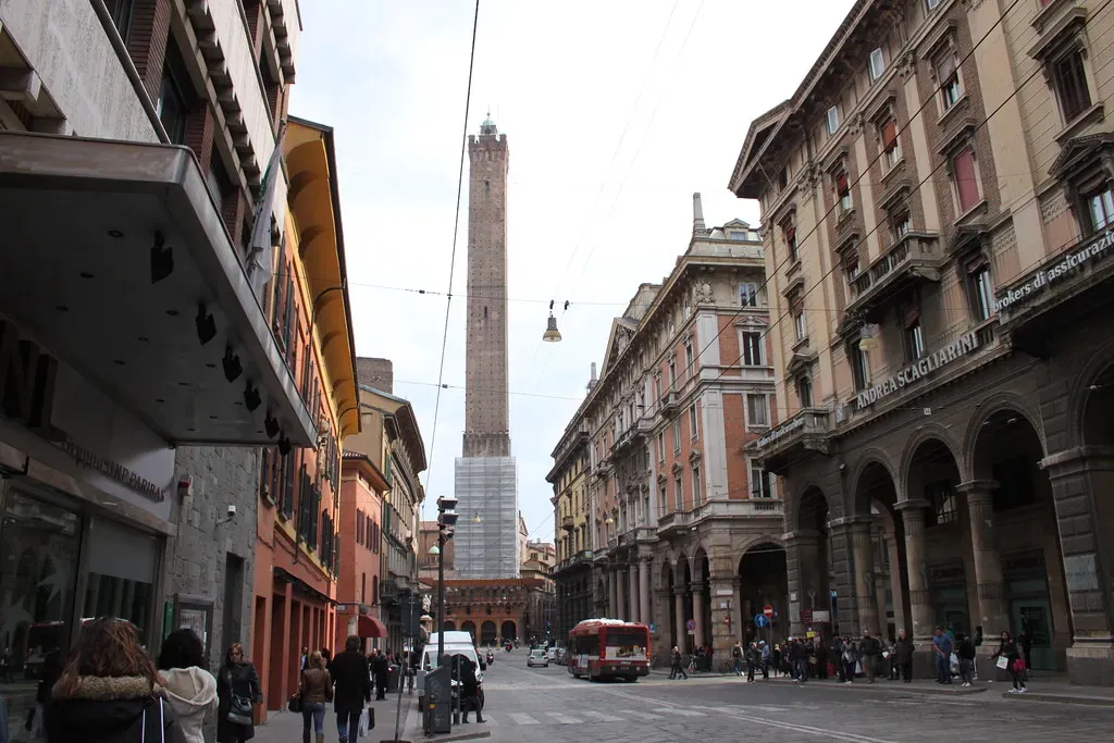
If you’ve ever driven between Rimini and Milan on Italy’s SS9, congratulations – you’ve driven a 2,200-year-old military supply line. The Via Aemilia didn’t just survive; it shaped an entire region’s geography. Nearly every major city along its length, from Bologna to Parma to Piacenza, sits exactly where it does because the Romans put a road there first.
Turns out, city planners never really left. Modern Italian urban development along the SS9 corridor still follows Roman-era spacing between settlements – roughly a day’s travel by cart, give or take. Researchers studying road-driven economics point to this exact spacing pattern as proof that infrastructure decisions made under Augustus still quietly dictate where people choose to live and build today.
#5 – Via Domitiana, Italy: Built to Connect an Emperor’s Vanity Project
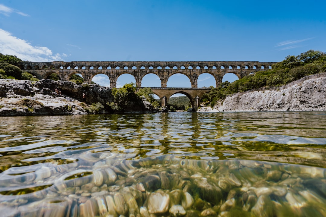
This road exists partly because an emperor wanted a shortcut to his favorite resort towns. The Via Domitiana wasn’t built from scratch – it extended an existing road, leaving the Appian Way at Formiae or Sinuessa, hugging the coast, crossing the rivers Savona and Volturno, threading past the coastal lagoons near Linterno and Cumae, and finishing in Pozzuoli. In 102 AD, Trajan pushed the road even further, all the way to Naples.
Secretly, this road had its own ancient hype campaign. The poet Statius wrote an entire poem celebrating the Via Domitiana’s construction, praising the emperor for the speed and convenience of the new route – essentially a first-century advertising jingle for a highway. Today, the coastal corridor connecting those same towns near Naples still funnels traffic along a path barely altered from Domitian’s original blueprint.
Worth Knowing
- Dedicated around 95 AD after roughly two years of construction
- Extended from Sinuessa along the Campanian coastline toward Naples
- Immortalized in verse by the Roman poet Statius
- Dramatically cut travel time to Pozzuoli’s resort towns for Roman elites
#6 – Via Claudia Augusta, Italy to Austria: The Alpine Crossing Nobody Expects
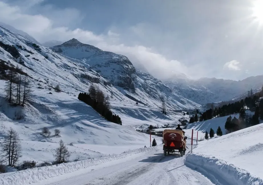
Most people assume conquering the Alps by road is a modern engineering flex. Rome beat everyone to it by roughly 2,000 years. The Via Claudia Augusta, completed in the 1st century AD, connected northern Italy with the Danube region, stretching from Altinum near Venice and Hostilia on the Po all the way across the Alps via the Reschen Pass.
That’s not a flat coastal cruise – that’s a mountain crossing engineered without dynamite, bulldozers, or modern surveying equipment. Most people don’t realize this road effectively predicted the modern Brenner corridor, one of Europe’s busiest freight routes today. Sections of the original alignment are now hiking and cycling trails, but the broader transit corridor it pioneered still carries enormous volumes of Alpine trade traffic between Italy and Central Europe.
#7 – Via Augusta, Spain: A Roman Spine Running Through UNESCO Territory
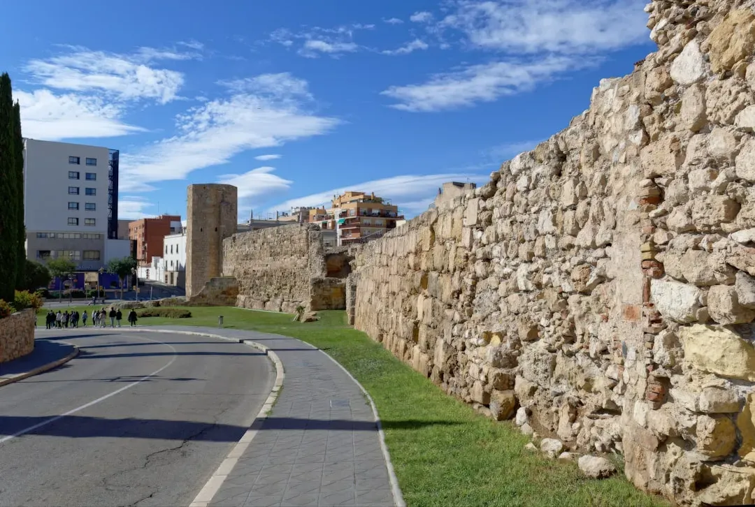
Spain’s longest Roman road still peeks out from under some of the country’s busiest highway corridors. Bits of the Via Augusta snake through modern Spain right now, with Roman milestones, crumbling bridges, and stretches of stone pavement hiding beside active highway lanes. This isn’t a fenced-off exhibit – it’s running parallel to real traffic today.
Head to Tarragona, a UNESCO World Heritage site, and you can walk on real Roman pavement while imagining traders, soldiers, and dignitaries doing the same thing two millennia ago. Experts consider Tarragona one of the best-preserved intersections of ancient and modern road infrastructure in Europe. Most travelers treat it as a quick photo stop, but some transportation historians argue it deserves far more attention than it currently gets.
Quick Compare
- Via Augusta: roughly 1,500 km, Rome’s longest road in Hispania
- Via Appia: about 540 km connecting Rome to Brindisi
- Via Domitia: roughly 700 km linking the Alps to the Pyrenees
- All three still influence major national highway corridors today
#8 – Puerto del Pico, Spain: A Mountain Pass Older Than the Empire’s Peak
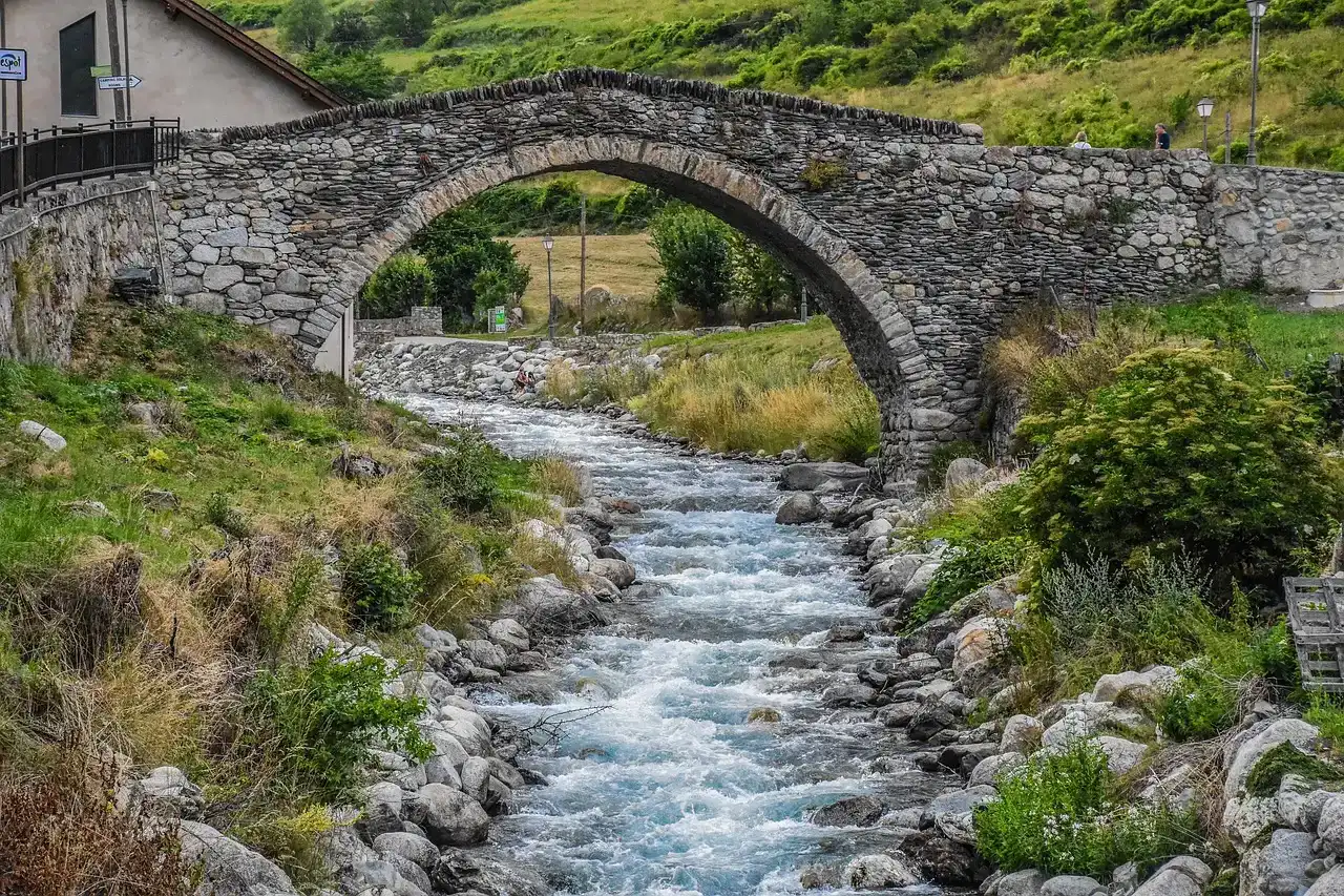
This one predates the Roman Empire’s golden age entirely, and it’s still climbable by vehicle today. Puerto del Pico dates from the second century BCE, taking its name from a high-altitude pass cutting through the Sierra de Gredos in central Spain. The Romans built it to link a fortress at Abula (now Ávila) with roads heading south toward Toledo and Extremadura.
This is one of the steepest surviving Roman roads anywhere in Europe. The switchback design climbing the pass remains largely intact, and modern hikers still use sections of it to reach the same mountain summit Roman traders once crossed on foot and by mule. The modern route around the pass still funnels regional traffic through virtually the same corridor the Romans chose.
#9 – Via Domitia, France: The Road That Connected Italy to Spain
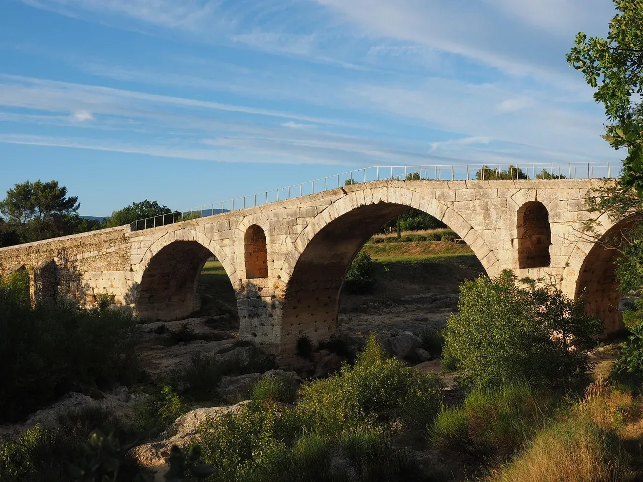
Long before France had a national highway system, Rome had already solved the Italy-to-Spain traffic problem. The Via Domitia was Rome’s first major highway built outside Italy, stitching together the empire’s western provinces into one connected trade corridor running from the Alps to the Pyrenees.
Turns out, France’s national road numbering system still echoes this ancient logic. Several of the country’s oldest regional routes through Languedoc and Provence trace directly back to the Via Domitia’s original alignment, carrying local and regional traffic through the same mountain gaps and river crossings the Romans selected roughly 2,150 years ago.
#10 – Watling Street, England: London’s Ancient Commute
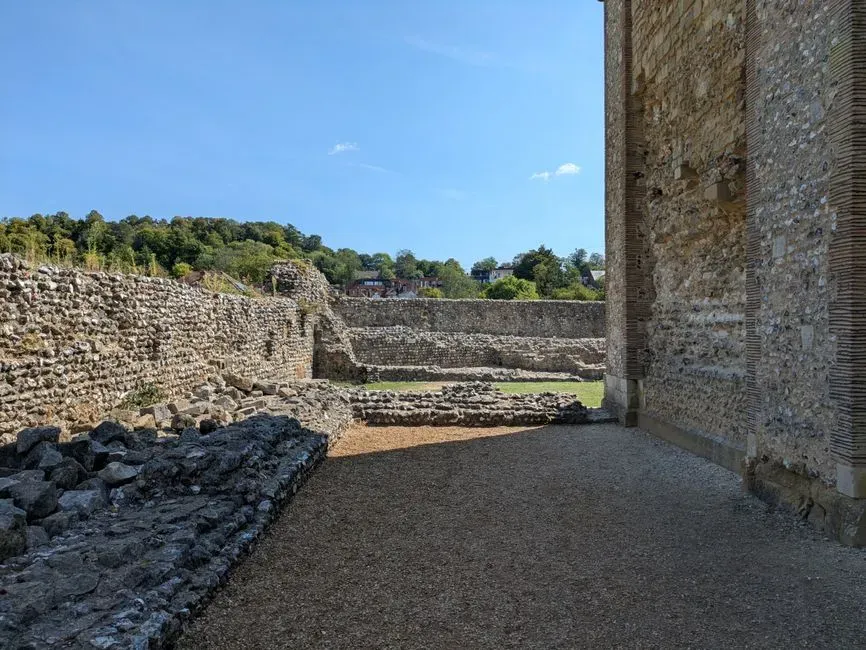
Millions of British commuters unknowingly drive a Roman military road every single day without giving it a second thought. Today, much of Watling Street’s original route is covered by major roads, including the A2 and A5 – two of England’s most heavily trafficked arterial roads, both tracing their layout back to a road built for legions moving between the coast and the interior.
Most people don’t realize this road also helped shape medieval England. Historical records show many Roman roads served as major thoroughfares until surprisingly recently, and some – including the Via Flaminia and Britain’s Fosse Way – still carry car, bike, and foot traffic or serve as the guiding line for modern highways. Watling Street belongs firmly in that category, still dictating commuter patterns nearly two thousand years after it was surveyed.
#11 – Fosse Way, England: A Straight Line Across the Midlands
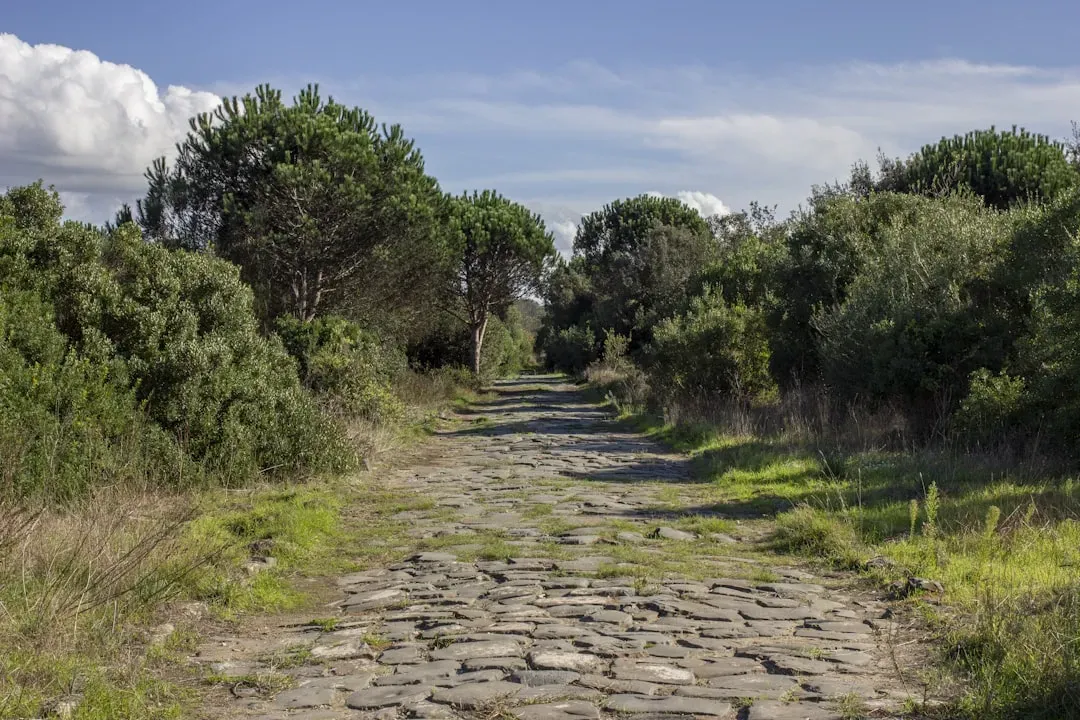
This road is so relentlessly straight that modern drivers still notice something feels architecturally deliberate about it. The junction of the Fosse Way with Watling Street, now the A5, sits at High Cross – Roman name Venonis – and forms the county boundary between Leicestershire and Warwickshire. Multiple modern roads, including the B4455, sections of the A429, and stretches of the A433, now sit directly on top of this original Roman alignment through the Cotswolds.
Secretly, this road once marked the actual frontier of Roman Britain. When troops under Emperor Claudius landed in Kent in AD 43, they pushed inland, and the Fosse Way – built during the first phase of occupation – effectively marked the western edge of the early Roman province. That means every driver on the modern B4455 is tracing a literal invasion-era border line.
At a Glance
- Ran roughly 370 km between Exeter and Lincoln
- Named “Fosse” after the defensive ditch that once ran alongside it
- Formed part of the early frontier of Roman-occupied Britain
- Modern roads like the B4455 still trace its arrow-straight alignment
#12 – Stane Street, England: London’s Forgotten Roman Commuter Route
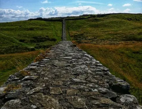
Stane Street connected two of Roman Britain’s most important cities, and its ghost still shapes southern England’s road network today. It ran from London to Chichester and Bosham, a sheltered harbor with trade routes to Gaul and the wider Empire, making it one of the province’s most important roads.
Sections of this alignment survive as footpaths, bridleways, and modern country lanes across Surrey and West Sussex, with several stretches still visibly straight enough to spot on a map at a glance. Most people driving through Surrey have no idea they’re tracking an ancient Roman commuter corridor. Archaeologists still debate exactly how much of the modern A29 and A24 corridor directly overlays the original route, but the underlying logic – connecting London to the south coast by the shortest practical path – has never actually changed in nearly 2,000 years.
The Bottom Line
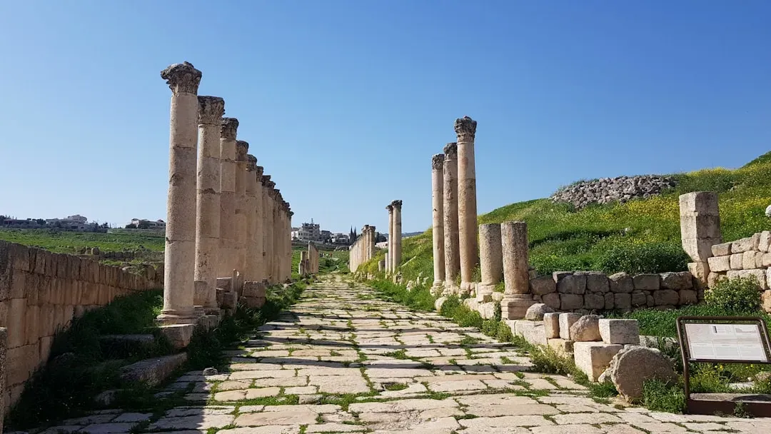
Here’s the uncomfortable truth modern road planners rarely admit out loud: Rome figured out efficient routing before satellites, before GPS, and before any civil engineering software ever existed. From the Via Appia’s volcanic stones still rattling car tires outside Rome to Watling Street quietly running under London’s daily gridlock, these roads prove that good engineering doesn’t expire – it just gets repaved.
Researchers have found that Roman roads correlate strongly with prosperity today, with cities and economic activity still clustering along routes that vanished centuries ago and were buried under new roads. That’s not nostalgia talking – that’s measurable economic reality baked directly into modern infrastructure. Frankly, transportation departments owe these ancient surveyors a lot more credit than they currently get; they picked their lines so well that we’re still driving them without even noticing. Did we miss a Roman road still hiding under your local highway? Drop it in the comments.