Most people assume harbors are permanent fixtures of geography – carved once, used forever. They’re wrong. Sea levels have shifted so dramatically over the last 8,000 years that dozens of the ancient world’s busiest ports now sit either drowned under ten meters of water or stranded miles from a coastline that quietly walked away without them.
Some sank because the sea rose. Others got landlocked because the sea retreated, leaving marble docks staring out at farmland instead of waves. Either way, the men who engineered these ports were building for a coastline that simply doesn’t exist anymore – and marine archaeologists have spent decades mapping exactly what got left behind, from Cleopatra’s drowned palace to a medieval town that still resurfaces at low tide.
#12 – Olous, Crete, Greece
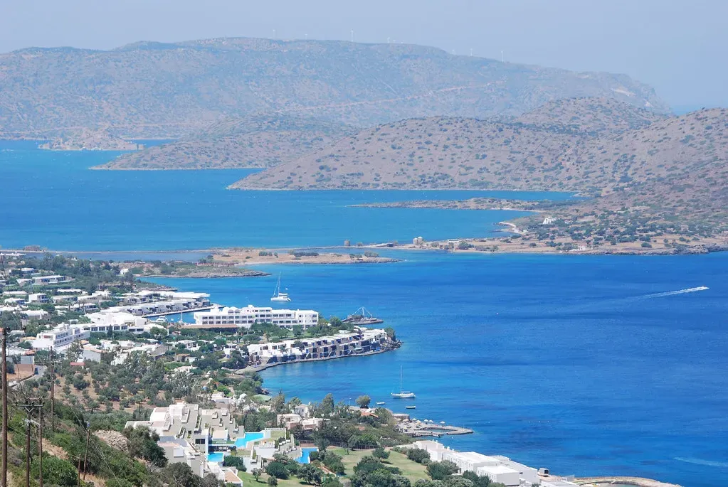
Most travelers to Crete never realize they’re swimming directly over a lost city.
Olous was a fully functioning Greco-Roman port on the island’s northeastern coast, complete with temples, a mint, and a harbor that once handled maritime trade across the Aegean. Tectonic subsidence along Crete’s coastline – the same seismic instability that has reshaped the island for millennia – gradually dropped the city below the waterline. Today, snorkelers near Elounda can see building foundations and mosaic fragments shimmering just beneath the surface, close enough to touch but permanently out of reach of dry land.
What makes Olous genuinely unsettling is how casual the submergence feels. There was no single cataclysmic tsunami wiping it out overnight. Instead, the coastline crept downward over centuries, and residents likely watched their own streets disappear one flood season at a time. Locals eventually just relocated uphill and let the sea take the rest.
While plenty of Mediterranean ruins get hyped as “must-see” underwater sites, Olous is proof that some of the most historically important submerged harbors are also the least protected – no museum, no glass-bottom boat tours, just tourists paddling over 2,000-year-old streets without ever knowing it.
#11 – Ephesus’s Harbor, Turkey
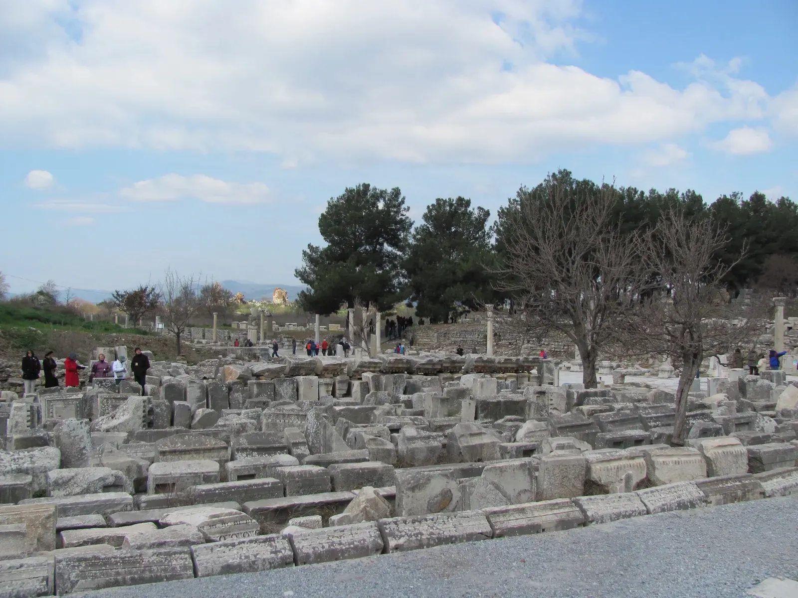
Here’s the twist nobody expects: sometimes the sea doesn’t rise. It disappears.
Ephesus was once one of the greatest port cities of the ancient Mediterranean, its harbor so vital that Roman engineers repeatedly dredged and rebuilt it to keep pace with trade demand. The Cayster River, however, had other plans. Centuries of sediment poured into the harbor basin, and the coastline slowly pushed outward, leaving the city’s famous harbor completely landlocked.
Fast Facts
- Located near modern-day Selçuk, Turkey
- Once one of the busiest ports in the eastern Mediterranean
- Harbor ruins now sit roughly 5 kilometers inland
- Cayster River sediment gradually filled the basin over centuries
Today, the ruins of Ephesus sit roughly 5 kilometers from the Aegean Sea. The marble-paved “Harbor Street” that once led directly to docked merchant ships now leads to farmland. Engineers in antiquity fought this siltation for generations, building canals and harbor walls to hold back the encroaching silt, but nature eventually won anyway.
This is the flip side of the “sea level” story that rarely gets told. Most people picture drowned cities when they hear about ancient harbors and changing coastlines, but Ephesus proves the opposite is just as dramatic – a booming port strangled not by rising water, but by a retreating one.
#10 – Ravenna’s Classe Harbor, Italy
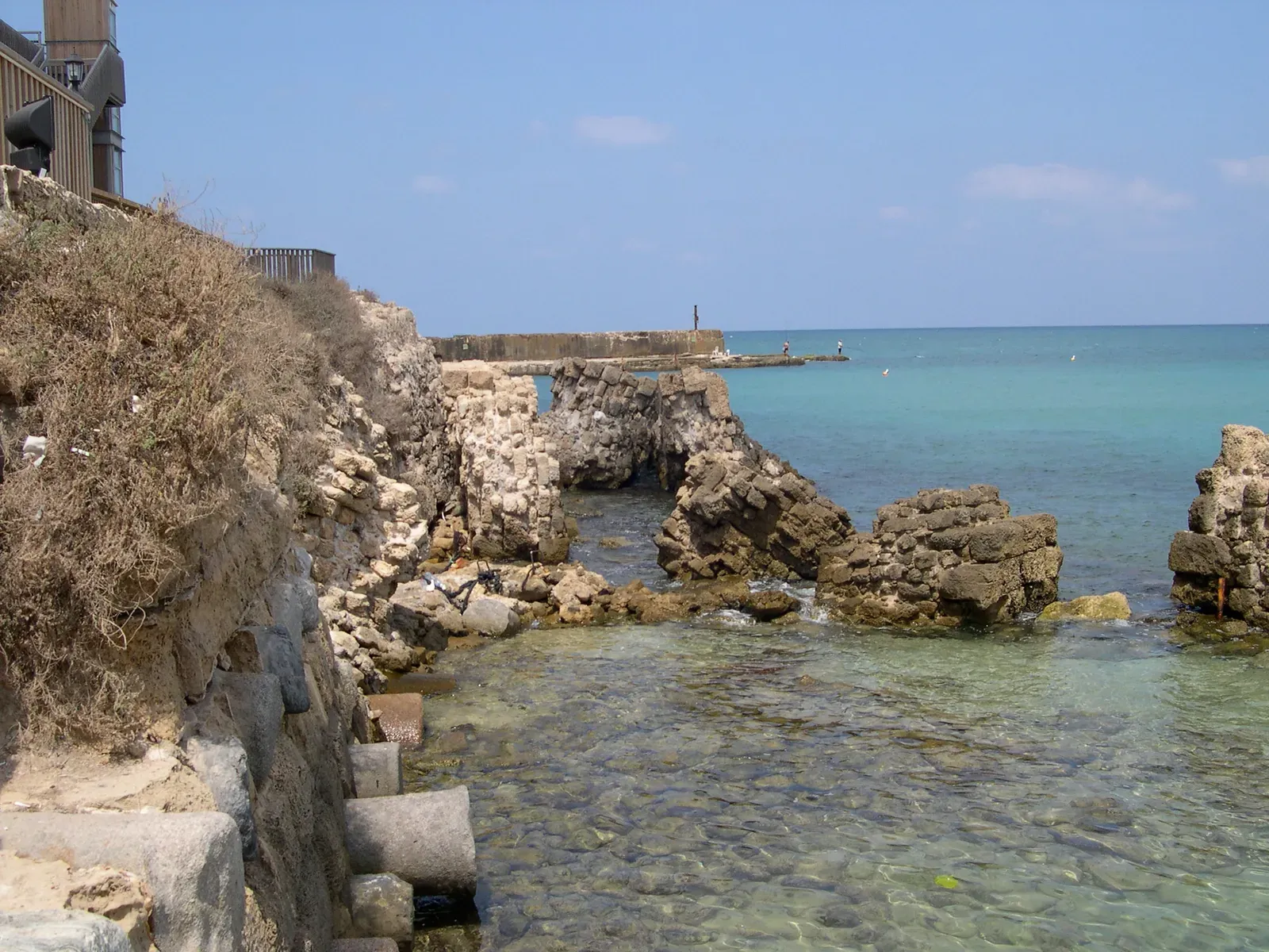
Ravenna was once so important to Roman naval power that Emperor Augustus made it a primary fleet base – and now its harbor is a wheat field.
The port, known as Classe, anchored Rome’s Adriatic naval fleet and processed enormous volumes of trade goods moving between Italy and the eastern Mediterranean. Sediment from the Po River delta did to Ravenna exactly what the Cayster did to Ephesus: it filled the basin faster than anyone could dredge it out. Within a few centuries of the Western Roman Empire’s collapse, the harbor was unusable.
The most striking part is how completely the identity of the place changed. A city that once launched imperial warships is now known for landlocked mosaics and Byzantine churches – Ravenna’s UNESCO fame today has almost nothing to do with the maritime power that built it. Most visitors touring its basilicas have no idea they’re standing where a naval harbor used to churn with activity.
Archaeologists have spent decades trying to map exactly where Classe’s docks and warehouses once stood, using ground-penetrating radar because the physical evidence is buried under meters of accumulated soil. It’s a startling reminder that “ancient harbor” doesn’t always mean “underwater” – sometimes it means “underground.”
#9 – Rungholt, North Sea, Germany
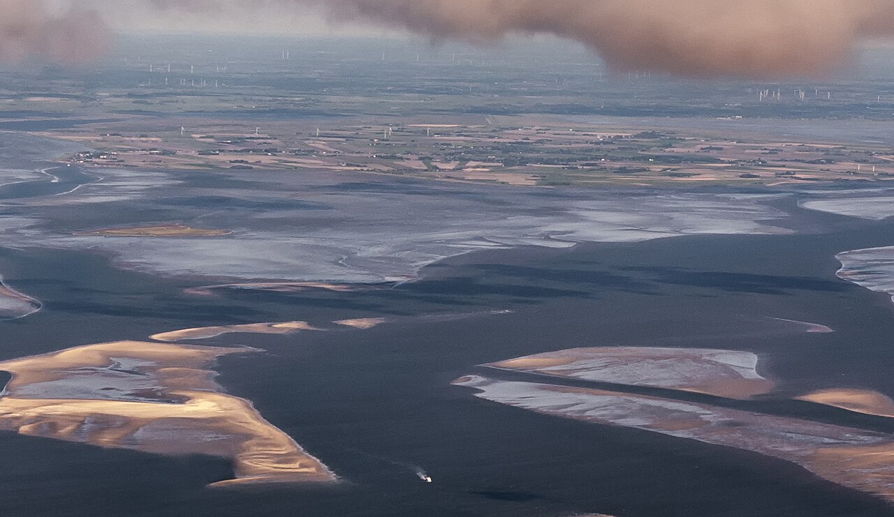
Locally called the “Atlantis of the North Sea,” Rungholt’s disappearance wasn’t gradual – it was a single, catastrophic night.
Rungholt was a prosperous medieval trading settlement on the coast of North Frisia, wealthy enough to be nicknamed the “Cranesbeak of Wealth” by contemporaries. In January 1362, a massive storm surge known as the “Grote Mandrenke” – the Great Drowning of Men – tore through the North Sea coastline and swallowed the settlement whole, along with dozens of other towns.
What’s genuinely wild is that Rungholt’s ruins periodically resurface. At extreme low tides, remnants of dikes, wells, and building foundations still emerge from the Wadden Sea mudflats, giving archaeologists brief windows to survey a town that’s been “lost” for over 650 years. Sonar surveys in recent decades have mapped an extensive network of settlement structures beneath the waves.
The controversial opinion here is worth stating plainly: many coastal engineers argue the storm was made catastrophic because medieval land reclamation had already destabilized the natural dune systems that once buffered the coast. In other words, humans may have helped drown their own town.
#8 – Mahabalipuram’s “Seven Pagodas,” India
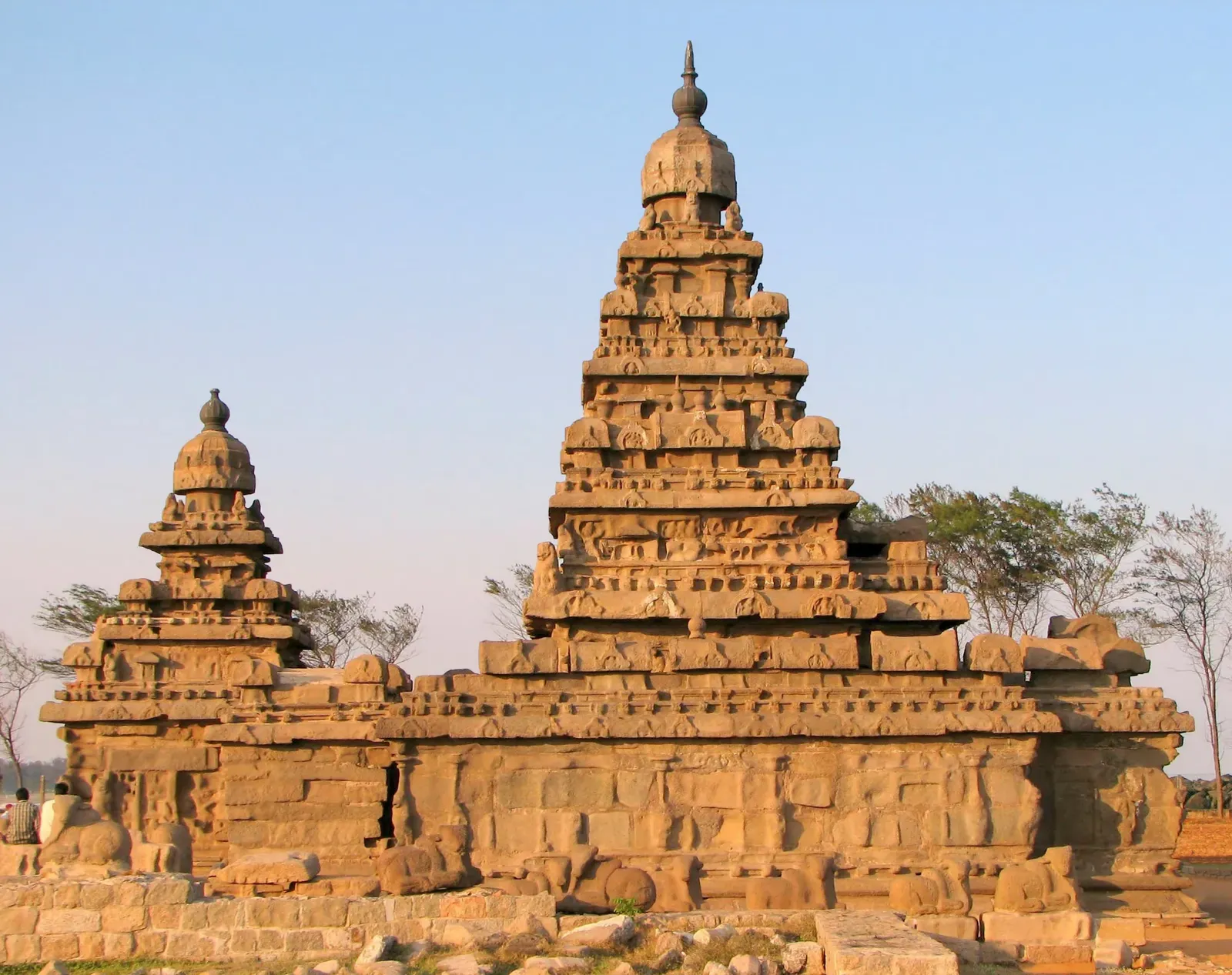
For centuries, sailors near this Indian coastal town told stories of temples visible just beneath the waves – and in 2004, the ocean briefly proved them right.
Mahabalipuram, on India’s Tamil Nadu coast, is famous for its single surviving shore temple, part of a legendary complex once described by European travelers as the “Seven Pagodas.” Local tradition long held that six additional temples had been swallowed by the sea over the centuries due to coastal erosion and rising water levels. For generations, this was treated as folklore.
Then the 2004 Indian Ocean tsunami temporarily pulled back the waters just offshore, exposing stone structures, a collapsed wall, and what appeared to be additional temple remains that had never been documented. Marine archaeologists scrambled to survey the site before the water returned, confirming that submerged structures genuinely exist near the shoreline.
It’s worth being careful here – not every claim about Mahabalipuram’s “lost temples” has been definitively dated or confirmed as originally coastal architecture. But the physical evidence uncovered during the tsunami was real enough to reshape how seriously archaeologists now take the old legends.
#7 – Dwarka, India
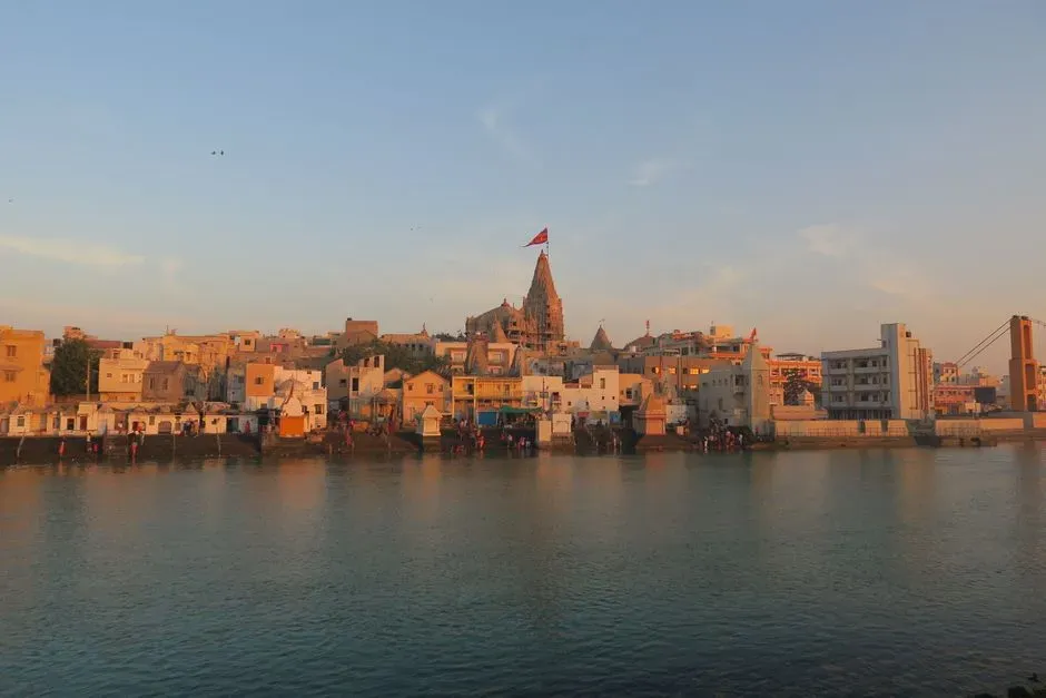
Krishna’s mythical capital may or may not exist – but there’s a very real submerged port sitting exactly where legend says it should be.
According to the Mahabharata, the city of Dwarka was swallowed by the sea immediately after Krishna’s death. For centuries this was filed away as pure religious storytelling. Then, starting in 1983, marine archaeologists from India’s National Institute of Oceanography began mapping the seabed off Gujarat’s coast and found something unexpected: submerged stone structures, triangular stone anchors, pottery, and inscribed seals dated between 1500 BC and 3500 BC.
Worth Knowing
- Submerged structures sit 3 to 20 meters below the Arabian Sea
- Triangular stone anchors suggest a working ancient port, not a natural formation
- Recovered artifacts date between 1500 BC and 3500 BC
- Regional sea levels fluctuated repeatedly before stabilizing around 1000 CE
The site sits submerged between 3 to 20 meters beneath the Arabian Sea, and the sheer quantity of stone anchors found there strongly suggests it functioned as a working ancient port rather than a natural rock formation. One widely cited theory holds that the city was built on reclaimed land roughly 3,500 years ago and was drowned when sea levels rose, with studies showing sea level in the area fluctuated repeatedly before stabilizing around 1000 CE.
Here’s the honest caveat: distinguishing between what the evidence establishes and what remains interpretive matters here – the evidence clearly shows a submerged site with worked stone structures, human-made anchors, and datable pottery consistent with a Late Bronze Age coastal settlement. What it doesn’t prove is a literal connection to Krishna’s mythological capital.
#6 – Pavlopetri, Greece
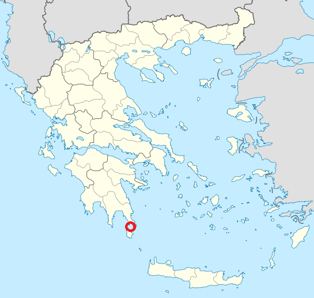
This is the oldest submerged town on the planet – and it wasn’t even discovered until the late 1960s.
Located off the coast of Laconia in the Peloponnese, Pavlopetri is a submerged prehistoric town consisting of intact building foundations, courtyards, streets, graves, and rock-cut tombs, believed to have flourished between 3000 and 1000 BC. It was originally built on an isthmus connecting the mainland to the island of Elafonisos, a stretch of land that no longer exists above water.
The scale of preservation is staggering. Researchers have documented over 30,000 square meters of building foundations, along with an additional 9,000 square meters discovered during a 2009 survey, including a large rectangular hall and a street lined with buildings. Unlike most submerged ruins, which are reduced to rubble, Pavlopetri’s street grid is still recognizable from above.
Marine geologists still debate exactly why it sank. Most now agree it was a combination of sea level changes and ground subsidence caused by earthquakes or tsunamis. Whatever the exact trigger, the sinking accidentally preserved a Bronze Age town plan more completely than almost any equivalent site left exposed to weather and looting on land.
#5 – Baiae and Portus Julius, Italy
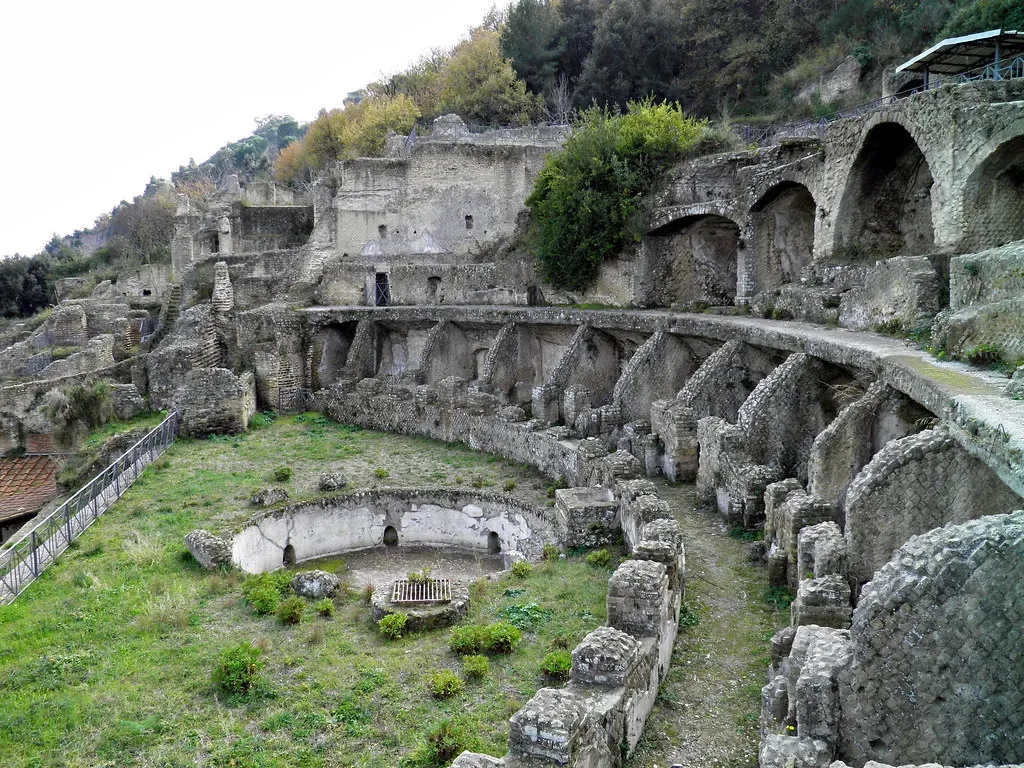
Rome’s answer to Las Vegas is now a scuba diving destination – and the emperors who partied there never saw it coming.
Baiae, on the Bay of Naples, was a popular coastal resort famous for its idyllic location and therapeutic mineral springs that drew the likes of Julius Caesar, Nero and Caligula. Right next door sat Portus Julius, built specifically as the first harbour constructed as a base for the Roman western naval fleet, protected by the Misenum peninsula.
Both were doomed by the same geological quirk. The region sits atop the Campi Flegrei volcanic caldera, where the entire land dropped by more than six meters through a process called bradyseism, caused by the emptying of an underlying magma chamber. This wasn’t a single earthquake – it was a slow-motion collapse that played out over centuries, with the submerged park now stretching across approximately 177 hectares of villas, marble roads, bath complexes, mosaics, and statues.
The controversial take worth mentioning: some geologists argue that because bradyseism is cyclical, portions of Baiae could theoretically rise again someday, the same way the surrounding Campi Flegrei has re-inflated in modern decades. That’s not comforting when you remember this is one of the most seismically active calderas in Europe.
#4 – Caesarea Maritima’s Sebastos Harbor, Israel
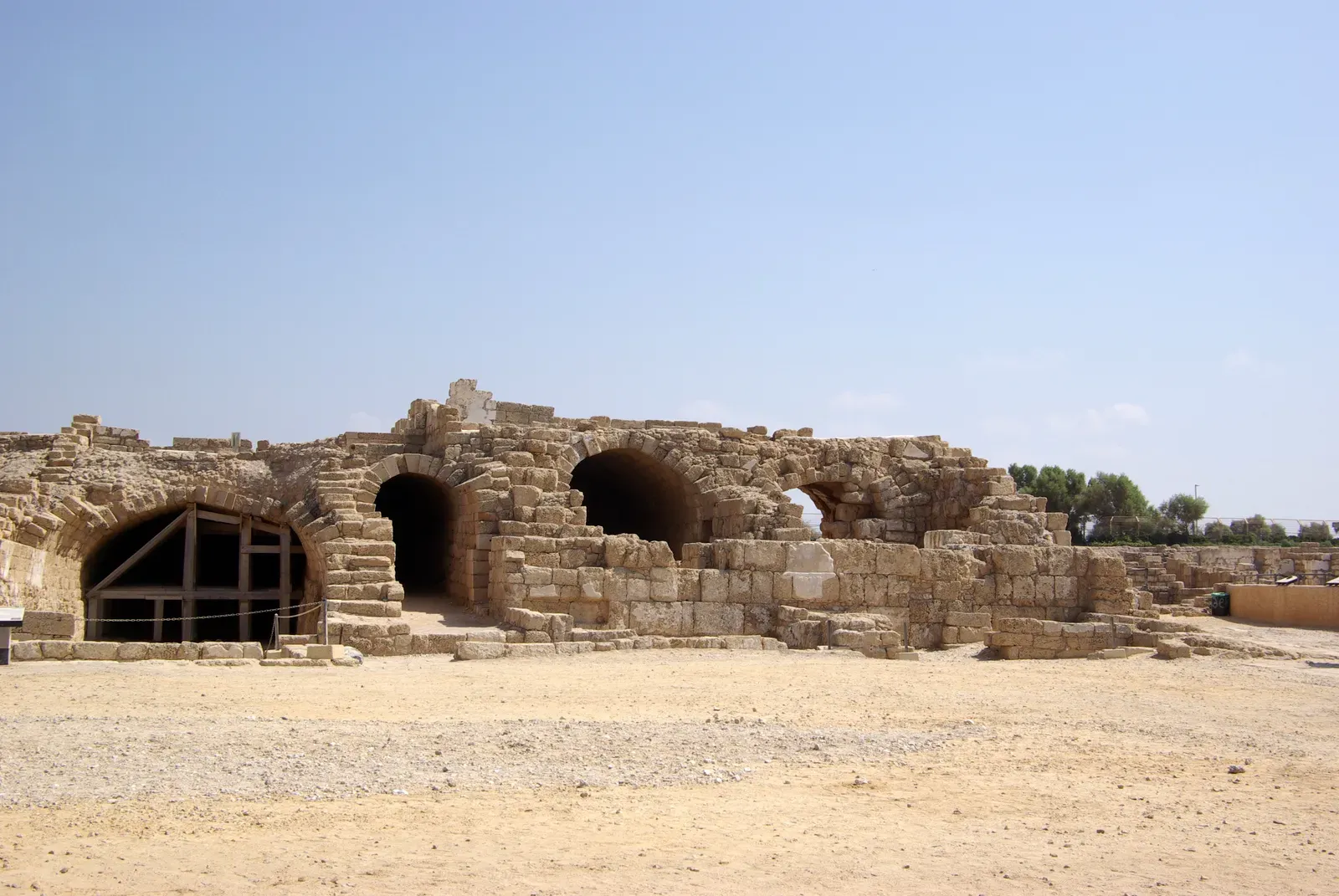
Herod the Great didn’t just build a harbor – he built one of the most technologically advanced ports in the ancient world, and it still couldn’t survive the sea it was built to conquer.
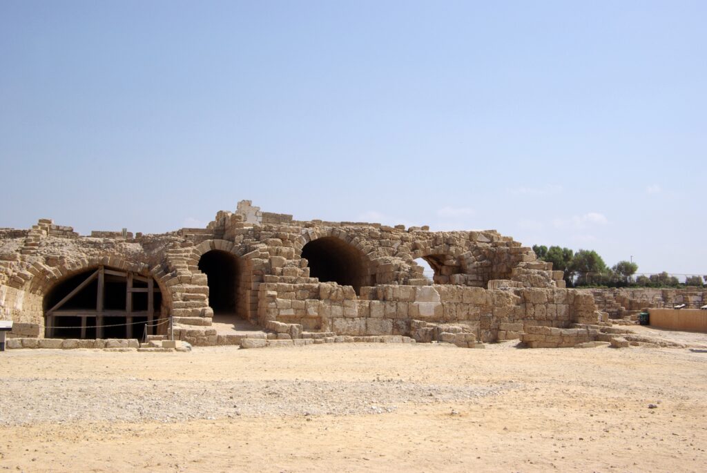
Sebastos, constructed in the 1st century BC, used experimental hydraulic concrete that could harden underwater – a genuine engineering marvel for its era, and one of the largest artificial harbors built in the open sea anywhere in antiquity. The scale of ambition was enormous: massive concrete breakwaters extending far offshore to create a completely artificial, sheltered anchorage where none had existed naturally.
Why It Stands Out
- Built using hydraulic concrete engineered to harden underwater
- Ranked among the largest artificial harbors built in the open sea in antiquity
- Breakwaters extended far offshore to create a fully artificial anchorage
- A 551 AD earthquake and tsunami accelerated its long decline
The irony is brutal. The same coastline that made Caesarea strategically valuable also made it geologically unstable. Gradual tectonic subsidence combined with the compounding weight of the breakwaters themselves caused sections of the harbor to sink below the waterline over subsequent centuries. A major earthquake and tsunami event in 551 AD accelerated the damage significantly, and by the medieval period the once-thriving Roman port was largely unusable.
Divers today can still trace the outlines of the ancient breakwater beneath the waves, a rare case where cutting-edge Roman engineering wasn’t defeated by poor construction, but by the simple fact that the coastline it was built on refused to stay still.
#3 – Apollonia, Cyrenaica, Libya
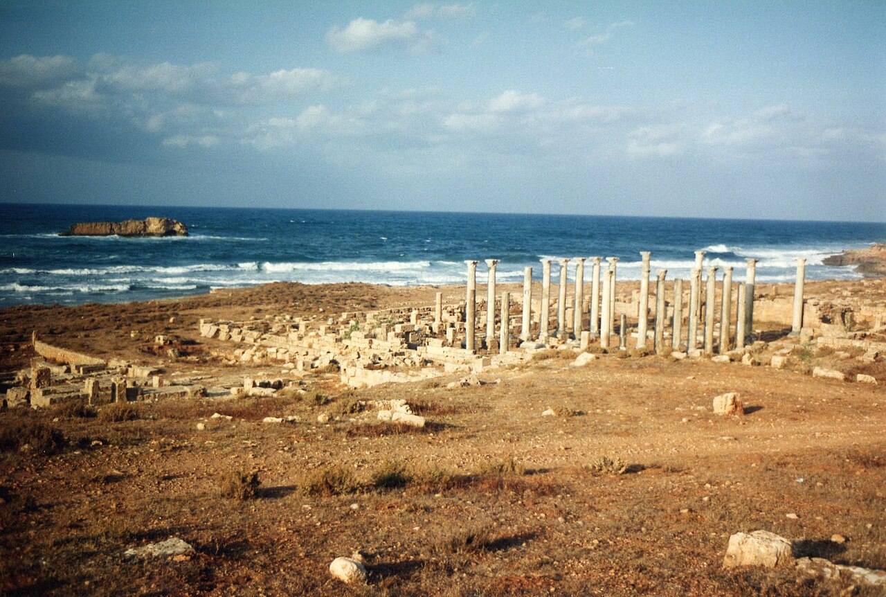
An entire chunk of a Greek port city vanished in a single geological event – and most people have never even heard of it.
Apollonia served as the primary harbor for the ancient Greek city of Cyrene, handling maritime trade across the Libyan coast for centuries under Greek and later Roman rule. The city thrived as a genuine commercial and naval hub in North Africa, with the kind of layered infrastructure – warehouses, temples, fortifications – you’d expect from a major regional port.
Then, in 365 AD, a massive earthquake centered near Crete triggered widespread tectonic subsidence across the eastern Mediterranean coastline – the same seismic event historians connect to catastrophic destruction recorded from Alexandria to Crete. Portions of Apollonia’s harbor district dropped below sea level almost immediately, and unlike sites that sank gradually over centuries, this submergence happened in a matter of hours.
What’s most overlooked about Apollonia is how little modern attention it receives compared to Mediterranean sites in Italy or Greece. Ongoing instability in Libya has made sustained underwater excavation nearly impossible for decades, meaning one of antiquity’s most dramatically submerged harbors remains comparatively unexplored.
#2 – Alexandria’s Royal Quarter, Egypt
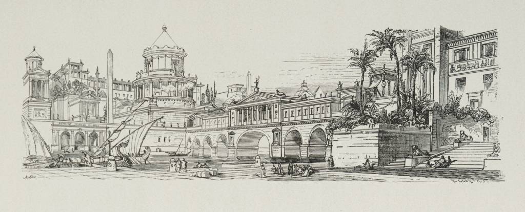
Cleopatra’s actual palace complex is sitting at the bottom of a modern Egyptian harbor, and most Alexandria visitors walk right past it without knowing.
The Ptolemaic royal district, including the island of Antirhodos, once housed the private palaces of Egypt’s Greek pharaonic dynasty – the literal seat of power where Cleopatra VII ruled and where Julius Caesar and Mark Antony both stayed during their respective entanglements with her. Franck Goddio’s underwater archaeology team spent years excavating the submerged site and the ancient harbour of Alexandria, known as Portus Magnus, including Antirhodos Island.
The submergence here is a genuine multi-cause disaster story. A combination of earthquakes, land subsidence, and slow sea level rise pulled the entire royal quarter beneath Alexandria’s Eastern Harbour over the centuries following antiquity. Divers have since recovered sphinxes, colossal statues, and architectural elements that once decorated palace grounds now sitting under working harbor traffic.
The most head-spinning detail is the location: this isn’t some remote archaeological dive site requiring a boat trip into open water. It’s directly beneath one of Egypt’s busiest modern ports, meaning ancient royal palaces and modern shipping lanes now occupy the exact same coordinates.
#1 – Thonis-Heracleion, Egypt
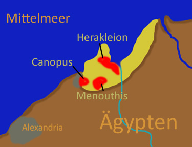
This was Egypt’s most important gateway to the Mediterranean for centuries – and it disappeared so completely that historians eventually assumed it was a myth.
Before Alexandria existed, the city knew glorious times as the obligatory port of entry to Egypt for all ships coming from the Greek world. Every merchant vessel, diplomat, and pilgrim entering Egypt from the sea had to pass through its harbors first. Then, in 331 BC, Alexander the Great founded a rival city just down the coast, and Thonis-Heracleion’s slow decline began even before nature finished the job.
At a Glance
- Found 6 kilometers off Egypt’s coast in Aboukir Bay
- Buried under roughly 10 meters of water
- Rediscovered after a search that began in 1996
- An estimated 95% of the city remains unexcavated
The ending was catastrophic. Franck Goddio’s team eventually found the city six kilometers off Egypt’s coast, submerged beneath ten meters of water in Aboukir Bay, after searching since 1996. The cause wasn’t one single event but a pileup of disasters: the city was besieged by earthquakes, tsunamis, and rising sea levels, and at the end of the second century, probably around 101 BCE, its central island slid into the sea alongside the city’s main temples after the hard clay beneath them turned to liquid. The city clung on afterward, but following an earthquake in the second half of the 8th century, it finally succumbed to the sea and lay lost beneath the waves for the next 1,200 years.
What makes this the definitive entry on this list is the sheer scale of what remains undiscovered. Archaeologists believe only 5% of the city has been excavated so far, meaning the most important ancient Egyptian harbor most people have never heard of is still, quite literally, mostly a mystery.
The Bottom Line
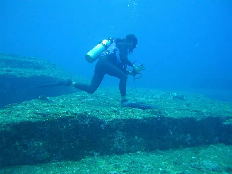
The pattern across all twelve of these sites is impossible to ignore: coastlines are not permanent, no matter how solidly ancient engineers built on them. Some harbors drowned under rising water and violent subsidence – Thonis-Heracleion, Caesarea, Baiae, Dwarka. Others got stranded inland when the sea retreated or silted up entirely – Ephesus, Ravenna.
Either way, every one of these ports was engineered for a coastline that simply stopped existing. The uncomfortable lesson for modern coastal cities is obvious, even if nobody wants to say it out loud: given enough time, the sea always renegotiates the deal – and it never asks the engineers for permission twice.