Most people assume that if a city was built as a great seaport, it stayed a great seaport. That assumption is wrong far more often than historians like to admit. Rivers shift course. Deltas keep growing outward. Governments reroute entire rivers for irrigation and don’t look back. Slowly, without a single battle or invasion, some of the most powerful harbor cities in history woke up one century to find the water gone and their docks sitting in dry fields, swamps, or desert sand.
Some of these places are still inhabited, their old walls and warehouses standing guard over farmland instead of fleets. Others are full-blown ghost towns, with rusting fishing boats parked in sand like tombstones nobody bothered to move. This list runs from the ancient world all the way to a man-made catastrophe that happened inside living memory, and the final entry is so strange that photos of it look staged. Here’s what geologists, archaeologists, and maritime historians say actually happened to eleven ports the water simply decided to leave behind.
#11 – Ur, the Port City the Persian Gulf Left Behind
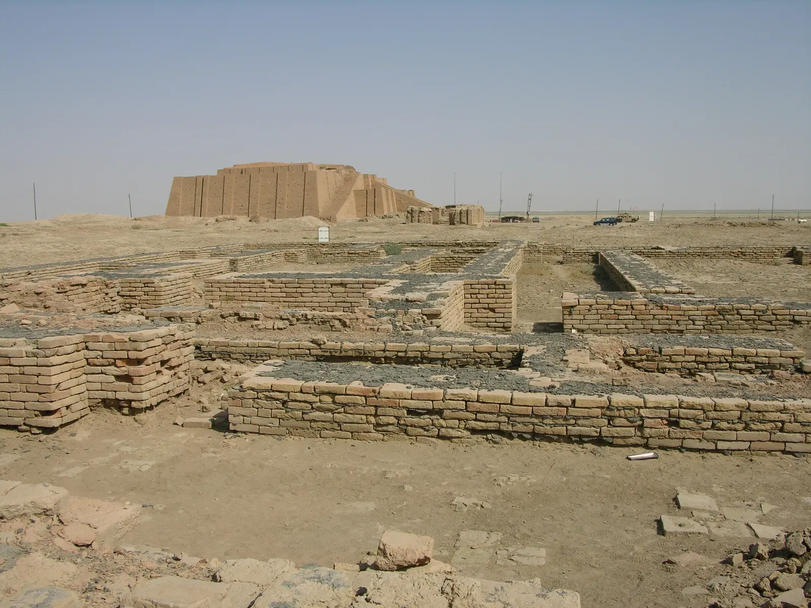
Long before Athens or Rome existed, Ur was one of the busiest ports on Earth, sitting near the mouth of the Euphrates close to the Persian Gulf. Sumerian traders shipped grain, wool, and copper from its wharves, and the city grew into one of the richest urban centers in ancient Mesopotamia.
The strangest part of Ur’s story is that the coastline moved away from the city, not the other way around. Thousands of years of silt carried down by the Tigris and Euphrates slowly built new land where open water used to be, pushing the head of the Persian Gulf dramatically southeast over millennia. Ur’s ziggurat, once visible to sailors coming in from the sea, now stands in dry desert far from any coastline.
Fast Facts
- Sat near the mouth of the Euphrates, once opening directly onto the Persian Gulf
- Exported grain, wool, and copper across ancient Mesopotamia
- Home to a massive ziggurat, once visible to arriving ships from the sea
- The head of the Persian Gulf has retreated dramatically northward since antiquity due to river silt
- Ur’s ruins now sit deep in the Iraqi desert, far from any open water
Archaeologists studying ancient Mesopotamian geography have long used Ur as the textbook example of river-borne land growth swallowing a working harbor. It wasn’t war, drought, or conquest that ended Ur’s maritime career. It was millennia of mud, grain by grain, turning open water into farmland and then into desert.
#10 – Miletus, the Greek Super-Port Buried by Its Own River
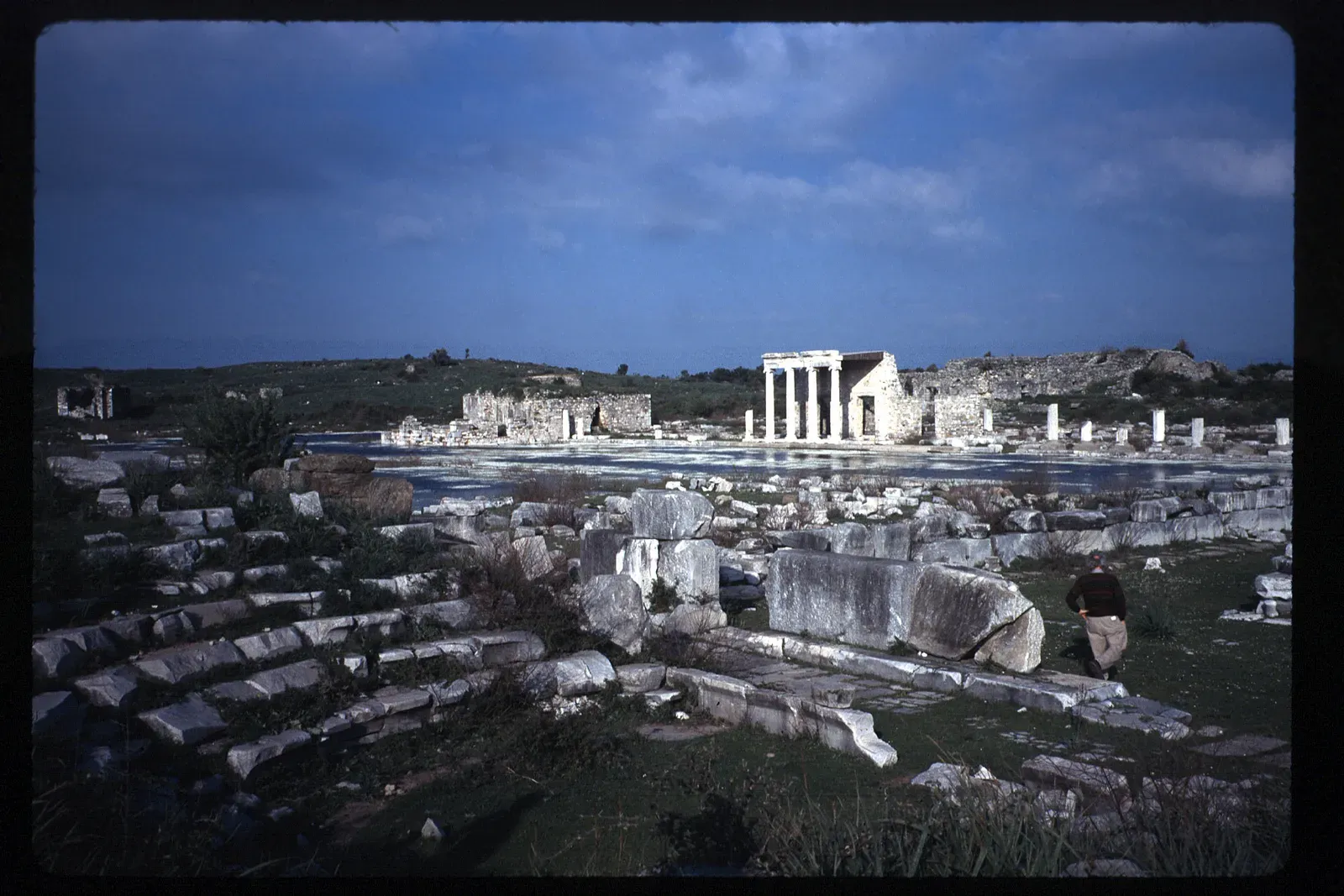
Miletus was once one of the most powerful Greek city-states on the Ionian coast, a launching point for dozens of colonies scattered across the Mediterranean and Black Sea. Its four harbors handled some of the busiest maritime trade in the ancient world.
The culprit was the Maeander River, the same waterway that gave English the word “meander” because of its notoriously winding course. Most visitors don’t realize that the exact river which inspired a common English word is also the one that destroyed one of antiquity’s greatest ports. Centuries of sediment pushed out from the Maeander’s mouth steadily filled in Miletus’s harbors, exactly as it did a short distance away at Ephesus.
Engineers of the ancient world tried dredging and rerouting, much like their counterparts elsewhere on the Turkish coast, but the river won in the end. Today the ruins of Miletus sit stranded on a plain well away from the Aegean, a quiet monument to a harbor that trade once treated as untouchable.
#9 – Aigues-Mortes, the Crusader Port Now Landlocked in Marshland
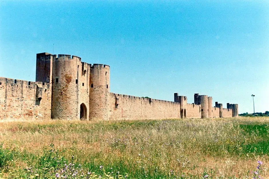
King Louis IX of France needed a Mediterranean naval base with no local lord to answer to, so in the 13th century he built one from scratch on the marshy Languedoc coast: Aigues-Mortes. Its name literally translates to “dead waters,” which now reads like an eerie prophecy.
Fleets for the Seventh and Eighth Crusades departed from its walls, once washed directly by the sea. But the Rhône River’s delta kept expanding westward, dumping sediment along the coastline and slowly pushing the Mediterranean further from the town’s fortified gates.
The strangest twist is that the walls of Aigues-Mortes are almost perfectly preserved today precisely because the town stopped mattering as a port. With no modern harbor to redevelop, nobody bothered tearing down the medieval fortifications. The town now sits several kilometers from open water, surrounded by salt flats and the wetlands of the Camargue, a beautifully preserved fortress guarding nothing but marsh birds.
#8 – Ostia, the Port That Kept Rome Fed
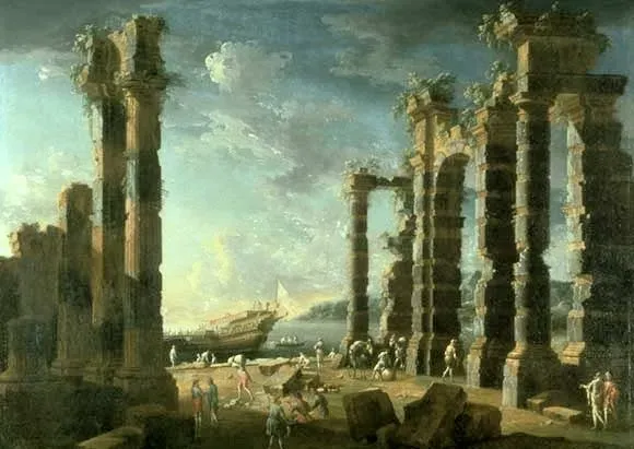
Ostia Antica was Rome’s lifeline. Grain ships from Egypt and North Africa docked there before their cargo moved upriver to feed a city of over a million people. Losing Ostia would have meant losing Rome itself, which is exactly why emperors kept rebuilding it.
Trajan even constructed an entirely new hexagonal harbor basin further inland when the original mouth of the Tiber silted up, essentially admitting defeat and moving the port rather than fighting the river. It worked for a while. It didn’t work forever.
Few people touring Ostia’s ruins today realize they’re walking through what used to be a working waterfront, not an inland archaeological park. Centuries of Tiber sediment pushed the actual Mediterranean coastline kilometers further west, leaving Rome’s once-vital port sitting dry, dusty, and completely landlocked. The empire that built some of history’s greatest engineering couldn’t out-build a river’s patience.
#7 – Ravenna, the Capital That Lost Its Lagoon
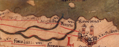
Ravenna’s swampy lagoons made it nearly impossible for enemy armies to attack, which is precisely why it became the capital of the Western Roman Empire and later the Byzantine Exarchate of Italy. Its port suburb, Classis, handled naval fleets and merchant traffic that made the city one of the most important in the Mediterranean.
Then the Po River delta did what river deltas do: it kept growing. Sediment filled the lagoons that once protected and connected Ravenna to the sea, and the marshland that made the city nearly unconquerable slowly turned into solid ground.
The most jaw-dropping part of Ravenna’s story is that its famous mosaics, among the finest surviving Byzantine art anywhere, now sit in a basilica several kilometers from the coastline they were built beside. The Basilica of Sant’Apollinare in Classe once overlooked ships and open water. Now it overlooks farmland, a defensive advantage of geography that became, centuries later, a slow-motion eviction from the sea.
#6 – Pisa, the Naval Superpower Stranded by Silt
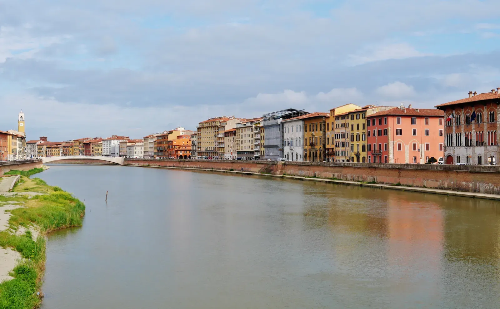
Long before its famous leaning tower drew tourists by the millions, Pisa was a maritime republic that rivaled Genoa and Venice for control of Mediterranean trade routes. Its ships fought wars, carried goods, and projected power across the western Mediterranean for centuries.
The Arno River, which runs directly through Pisa, was both the city’s blessing and its slow undoing. As with so many river-mouth harbors, sediment from the Arno steadily pushed the actual coastline further west, away from the port infrastructure that Pisan merchants and sailors depended on.
Worth Knowing
- Pisa rivaled Genoa and Venice as a Mediterranean naval power for centuries
- A crushing 1284 naval defeat to Genoa hastened Pisa’s decline as its coastal advantage faded
- The Arno River that built Pisa’s wealth also quietly filled in its harbor with sediment
- The famous leaning tower rests on the same soft, once-underwater ground that doomed the port
Most tourists posing for photos “holding up” the leaning tower have no idea they’re standing in what used to be a thriving harbor district. Pisa’s naval power faded as its access to open water faded with it, and rival maritime republics with better coastal access eventually eclipsed it entirely. The tower tilts because of soft ground – ground that used to be underwater.
#5 – Sandwich, the English Port Left High and Dry
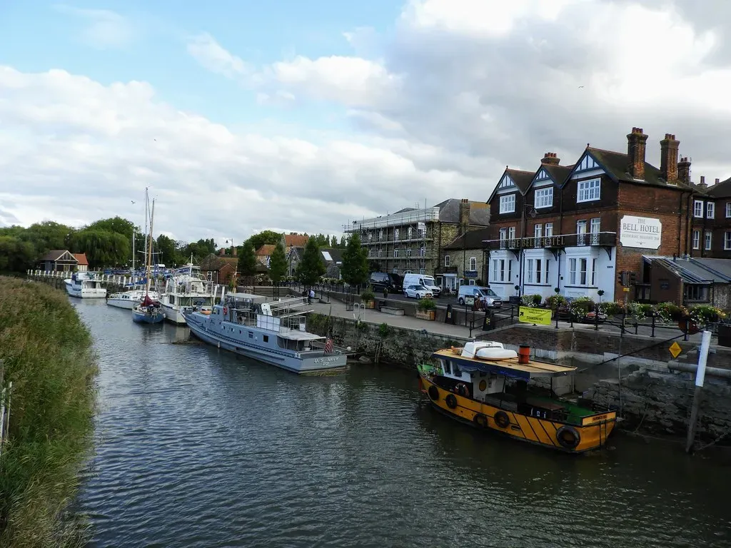
Sandwich was once one of the busiest and most important of England’s original Cinque Ports, a confederation of coastal towns granted special privileges in exchange for supplying ships and men to the Crown. Hundreds of vessels a year once moved through its quay on the River Stour.
That same river is the reason Sandwich no longer has a working seaport. As the Stour steadily silted up, the great sailing ships that once crowded the quay simply stopped coming, and the medieval town never regained direct access to open water.
What surprises most visitors is that Sandwich’s 14th-century toll bridge across the Stour is still standing, in a town that hasn’t handled real maritime trade in centuries. Wandering its lanes today feels like walking through a working port town frozen mid-transaction, minus the actual port. The ships never came back, but the medieval streets, inns, and architecture absolutely did.
#4 – Ephesus, the City Strangled by a Six-Kilometer Wall of Mud
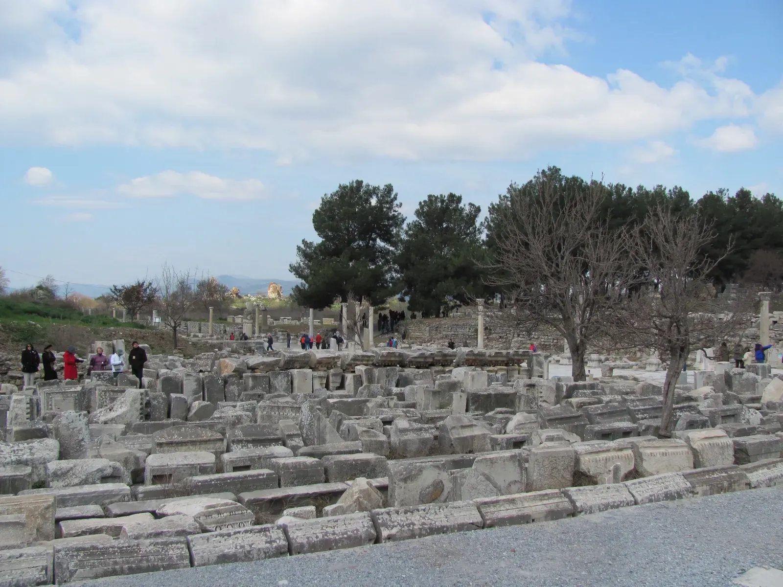
Ephesus was one of the wealthiest and most visited cities of the entire Roman world, home to the Temple of Artemis, a 25,000-seat theater, and a harbor boulevard so grand it stayed lit at night when most of the empire went dark after sunset. None of that mattered once the Cayster River decided otherwise.
The shifting delta of the Cayster caused regular silting problems in the harbor, and major engineering efforts to fight it were documented as early as 60 A.D. and again in 129 A.D. Roman engineers, Hadrian included, tried dredging the harbor and even rerouting the river itself. Nothing held permanently.
At a Glance
- Home to the Temple of Artemis, one of the Seven Wonders of the Ancient World
- Harbor engineering efforts documented as early as 60 A.D. and again in 129 A.D.
- The Aegean coastline has retreated roughly six kilometers from the ancient harbor
- Malaria outbreaks from surrounding wetlands helped empty the city once the port died
The single most jaw-dropping fact is just how far the sea has retreated: the ruins of Ephesus now sit roughly six kilometers from the Aegean coastline. As the harbor kept silting, the surrounding wetlands turned to swamp, mosquitoes multiplied, and a series of malaria epidemics helped finish off what the mud started.
Turkish officials have floated projects over the years to reconnect Ephesus to the sea by canal, but for now, tourists walk marble streets built for ships that will never return.
#3 – Rye and Winchelsea, the Twin Ports Betrayed by Their Own River
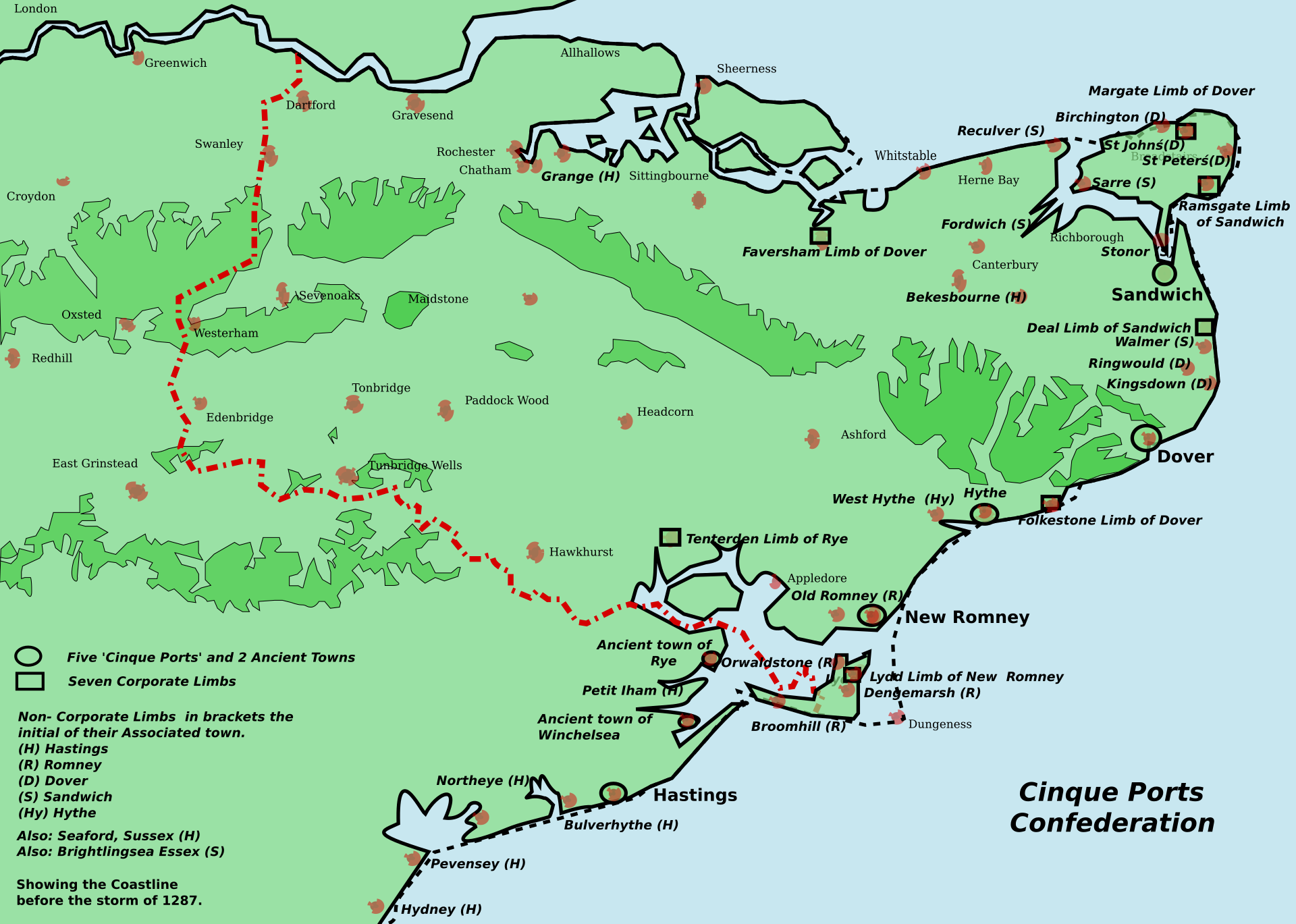
Rye and Winchelsea were both major members of England’s Cinque Ports confederation, supplying ships and crews to the Crown for centuries in exchange for lucrative trading privileges. Winchelsea in particular was so central to the wine trade that, by some accounts, the medieval equivalent of four million bottles passed through it annually.
Then the coastline turned against both towns at once. Backed by royal patronage and its Cinque Ports membership, Winchelsea thrived through the 14th century as one of the primary ports of the realm, but by the end of the 15th century the coastline had shifted, the river had silted up, and the last merchants had packed up and left. Rye suffered an almost identical fate at nearly the same time.
What most people don’t realize is just how far these towns now sit from the coastline that made them famous. Today the shoreline is roughly two miles away, the harbor that silted up during the Tudor period never came back, and large vessels haven’t been able to anchor by the town for centuries. A single geological shift quietly ended two centuries of maritime dominance for both towns in the same generation.
#2 – Bruges, the “Golden Inlet” That Turned to Sand
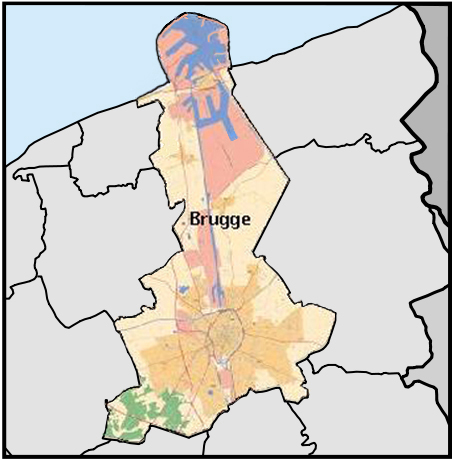
Bruges wasn’t just a port; it was arguably the financial capital of northern Europe during the late Middle Ages, sometimes called the cradle of capitalism. None of that wealth would have existed without one crucial piece of geography: the Zwin, a tidal channel connecting the inland city to the North Sea.
Outer harbor towns strung along the Zwin’s 25-kilometer tidal inlet, including Sluis, Monnikerede, Hoeke, Damme, and Bruges itself, were once among the pinnacle ports of Europe. Merchants nicknamed the channel the “Golden Inlet” for the fortunes it generated, which makes its eventual fate even more brutal.
Why It Stands Out
- Known as the “Golden Inlet,” the Zwin once carried some of Europe’s largest merchant fleets
- Bruges became a financial hub often nicknamed the cradle of capitalism
- The tidal channel stretched roughly 25 kilometers, linking Bruges to the North Sea
- Today the Zwin is little more than a shallow tidal trickle, barely navigable by canoe
Few realize just how completely the Zwin has vanished. What once carried some of Europe’s largest merchant fleets is today barely a trickle, described by locals as little more than a natural swimming pool where a rivulet at high tide lets a few canoes through. From the late 15th century onward, the inlet steadily silted shut, severing Bruges’s direct link to the sea and pushing trade toward nearby Antwerp instead. Ironically, that economic collapse is exactly why Bruges’s medieval core survives so perfectly today – there was never enough money left over to tear it down and modernize it.
#1 – Moynaq, the Soviet Fishing Port Now 100 Miles From Water
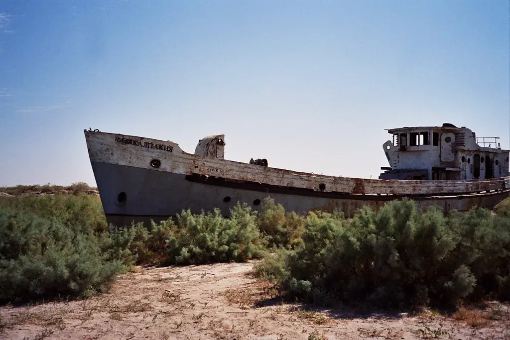
Every other city on this list lost its harbor slowly, over centuries, to natural silting. Moynaq lost its entire sea in a matter of decades, and human decisions caused it. That makes it the most disturbing, and most photographed, entry on this entire list.
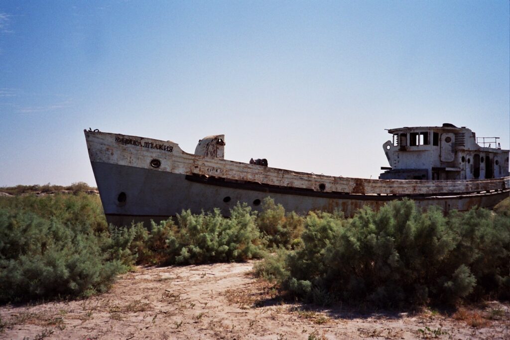
Moynaq was a booming fishing port when the Aral Sea still reached its piers, and it was landlocked Uzbekistan’s only large fishing harbor. The cause of its collapse wasn’t a river shifting on its own; it was policy. Soviet irrigation canals diverted the Amu Darya and Syr Darya, the two rivers that had kept the inland Aral Sea full for thousands of years, toward cotton fields instead. Within a few decades, the sea that fed Moynaq simply stopped arriving.
It is clearly one of the worst environmental disasters of the world.
Ban Ki-moon, on visiting the Aral Sea
The most shocking fact of all is that Moynaq’s old fishing fleet never had to sail anywhere to become stranded – the water simply left them where they sat. Ships that were tied up at the docks are now rusting in the middle of the desert, and the population collapsed once fishing became physically impossible. There is now roughly a 93-mile gap between the coast and the city, though some measurements put it closer to 150 kilometers depending on where you start counting. At that scale the exact number barely matters – the sea is simply gone, and a rusting fleet sitting in sand is the only proof it was ever there.
The Bottom Line
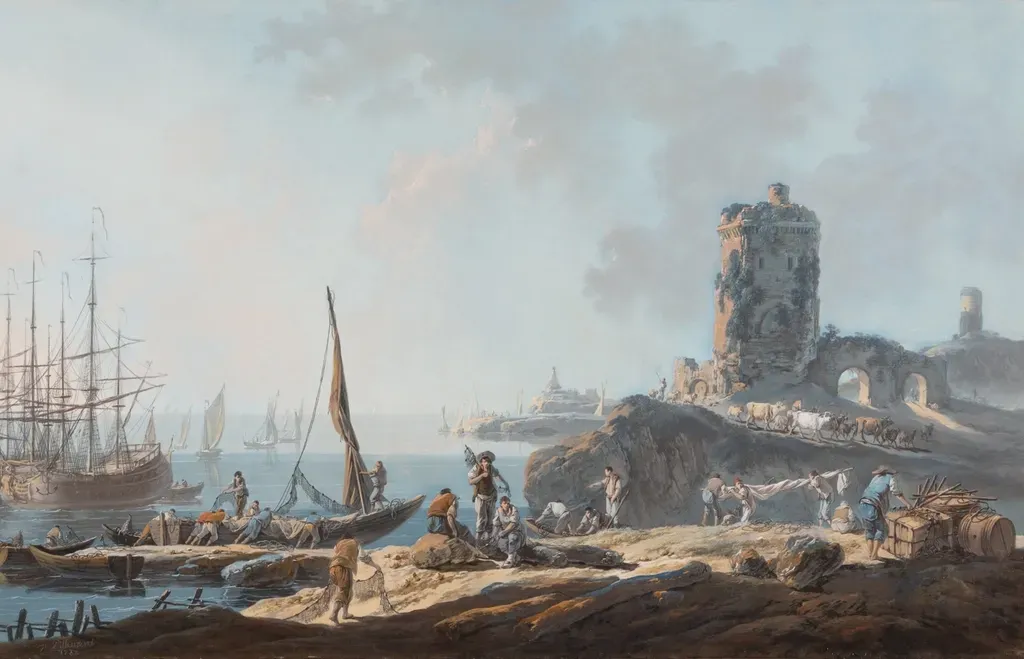
Every port on this list tells the same brutal story from a different angle: water is not a permanent feature, it’s a temporary arrangement, and rivers, deltas, and human engineering can end that arrangement whenever they choose. Ancient engineers dredged, redirected rivers, and rebuilt entire harbors, and the water still won almost every time.
What separates Moynaq from places like Ephesus or Bruges isn’t the outcome – it’s the speed, and the fact that human decisions, not just geology, pulled the trigger. If there’s a lesson worth taking from eleven dead harbors, it’s an uncomfortable one: no coastal city, no matter how rich or powerful, actually owns its water. It’s only ever borrowing it.