Forests have a way of turning familiar ground into alien territory the moment you step off the trail, but in some corners the fear runs deeper than folklore. Beneath the roots and needles lie unstable slopes, gas-charged springs, disappearing lakes, and histories carved by fire, ice, and tectonic violence. These places unsettle us not just because they are dark and quiet, but because the planet is still actively reshaping them. In a decade when more people are venturing into wild spaces with GPS in hand and curiosity dialed up, it is easy to forget that geology does not care about our confidence. The scariest forests are not just haunted by legends – they are laboratories where Earth is still experimenting, and where our understanding is always a few steps behind.
The Hidden Clues: Tongass National Forest’s Drowning Trees
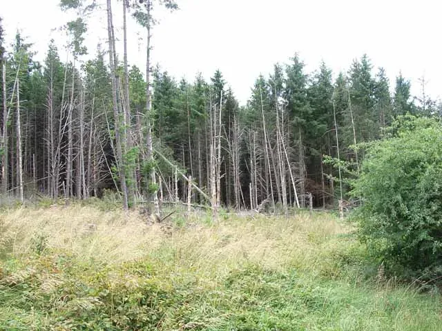
At first glance, Alaska’s Tongass National Forest looks like a moss-draped fairytale – towering spruce and hemlock, glacial valleys, endless rain – until you notice the trees that are quietly drowning. Along certain low-lying coastal inlets, bands of dead or dying trees stand like gray skeletons where healthy forest once grew, their roots now soaked in saltwater. These ghost forests are not just eerie; they are geomorphic warning signs that the land itself is sinking while the water rises. In parts of Southeast Alaska, the balance between post-glacial uplift and relative sea-level rise is shifting, sometimes faster than local ecosystems can adapt. When you walk through a Tongass ghost forest, you are literally tracing a moving shoreline, the boundary between solid ground and the encroaching ocean written in rotting wood.
What feels like a scene from a post-apocalyptic movie is actually the visible edge of complex Earth processes playing out in real time. The region is still responding to the loss of massive ice sheets since the last Ice Age, and that slow rebound is now competing with accelerating ocean rise and changing storm patterns. Soft, waterlogged soils slump, tides creep farther inland, and saltwater intrudes into freshwater wetlands, quietly killing trees that evolved for an entirely different coastline. For scientists, these spectral stands are data-rich archives of subsidence, storm surges, and sea-level history, recorded in tree rings and buried peat. For anyone hiking through at twilight, though, they feel like a forest being erased from underneath your feet.
Fire-Scarred Labyrinth: California’s Mendocino and Tahoe Forests
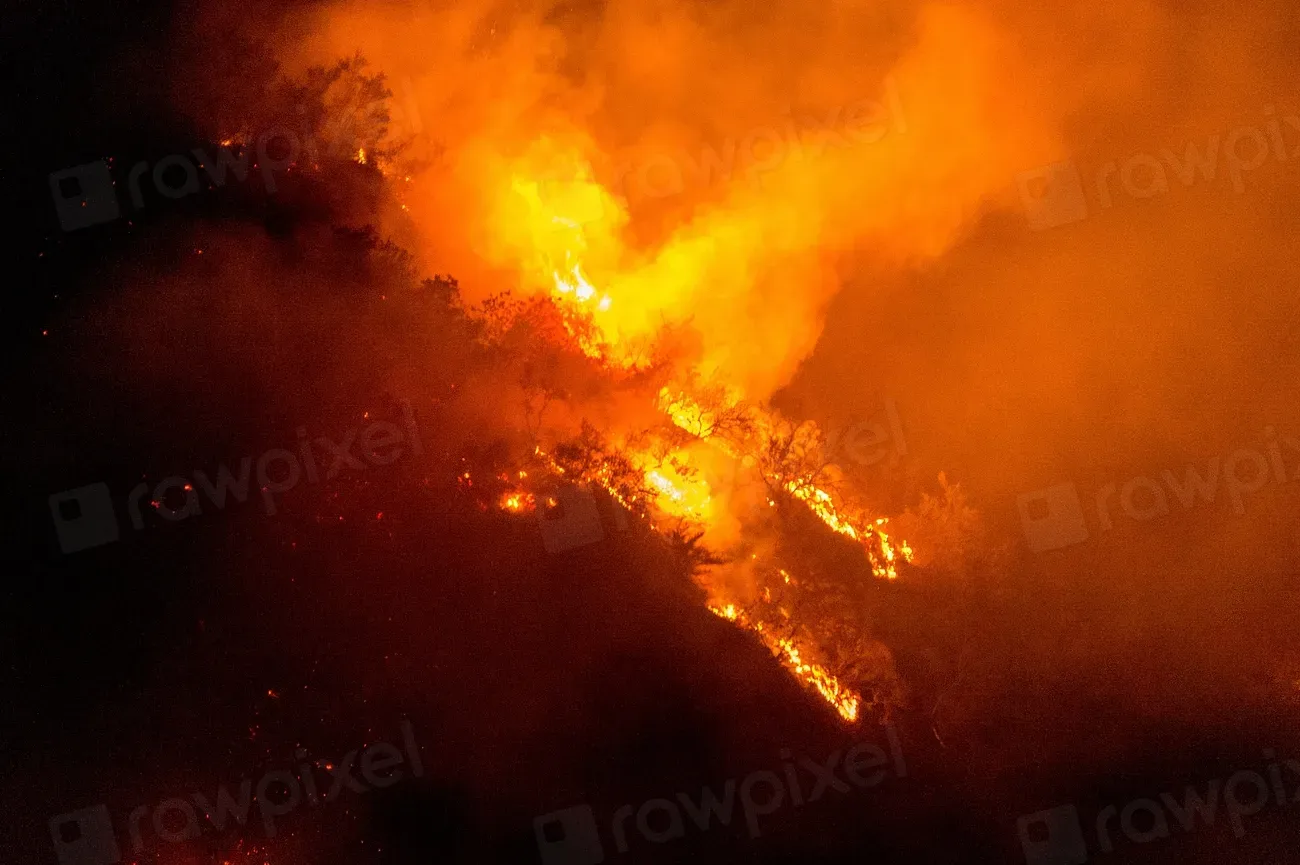
There is a special kind of unease that comes from walking through a forest that you know will burn again – maybe not this year, but soon. In the mixed-conifer and pine forests of Northern California, including Mendocino National Forest and the Tahoe region, charred trunks, torched crowns, and ash-rich soils tell a story of fire that is no longer just a natural rhythm but an escalating experiment in fuel, drought, and heat. Many slopes are mantled in loose, fire-baked soils that shed water instead of absorbing it, turning intense rainstorms into debris flows that can thunder through canyons without warning. You do not need an active flame to feel threatened here; gravity and water do the work long after the smoke has cleared.
Geologists and fire ecologists now treat these burn zones almost like temporary volcanic landscapes, where the surface has been reset and is prone to rapid, sometimes violent reorganization. Hills that seemed stable for decades can suddenly fail when the binding power of roots is burned away, sending boulders and mud down onto roads and into creeks. From a distance, the checkerboard pattern of burned and unburned forest looks abstractly beautiful, but up close, you can see rills carved into slopes, fresh sediment choking streams, and gullies that did not exist a few seasons earlier. The fear in these forests is not about getting lost in the dark; it is about standing on a hillside that might not be there in quite the same way after the next storm or the next megafire.
Karst Beneath Your Feet: The Vanishing Forests of Kentucky and Tennessee
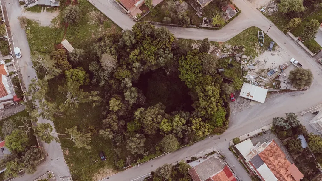
In the hardwood forests draped over Kentucky and Tennessee’s karst country, the real terrain is not what you see – it is what you cannot. Here, beneath oaks and hickories, thick limestone has been dissolved over millions of years by faintly acidic rain and groundwater, carving an invisible honeycomb of caves, shafts, and underground rivers. The surface can look deceptively calm: rolling hills, sinkhole ponds, leaf litter and ferns. But stand in the wrong spot after heavy rain, and you might feel the unnerving realization that much of the water around you drains not into creeks, but straight down into the earth.
Entire clusters of trees are sometimes lost when roofs of underground cavities collapse, forming new sinkholes that can swallow parts of roads, fences, and, occasionally, structures. Forest soils, often thin and perched above fractured rock, can slump into these voids, leaving sudden depressions that feel like the crust of a pie that has caved into the filling below. Scientists use dye-tracing and subterranean mapping to follow how water and contaminants travel through this skeleton of stone, because what vanishes here can reappear miles away in springs that communities depend on. For hikers and cavers, the fear is twofold: the literal risk of unstable ground, and the deeper realization that this forest rides on a hollowed-out, shifting foundation that no map fully captures.
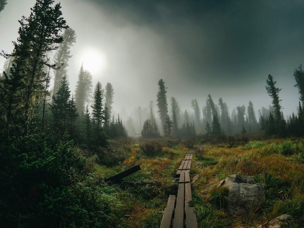
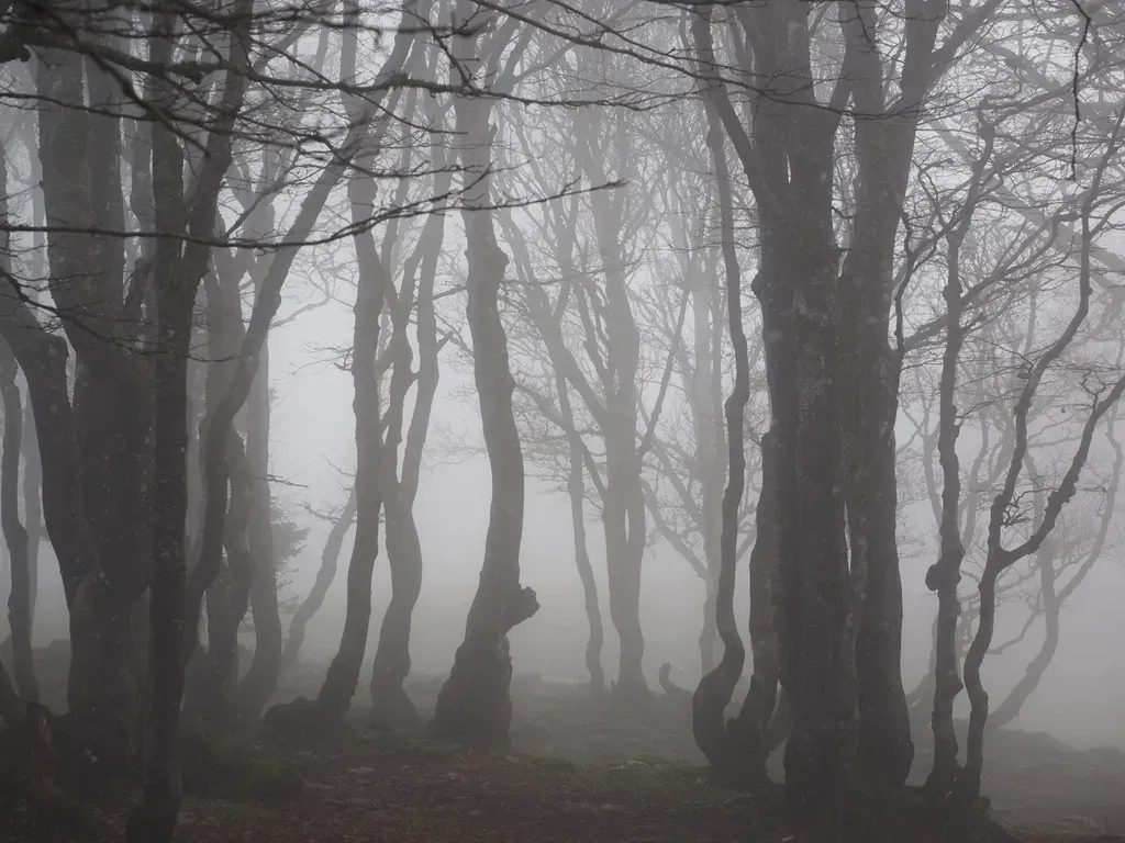
Frozen Fault Lines: British Columbia’s Subduction-Shadowed Rainforests
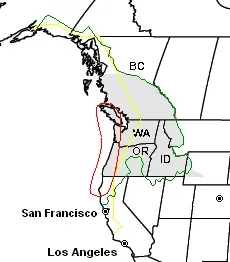
On the coastal slopes of British Columbia’s temperate rainforests, the silence is broken less by human activity and more by the faint creak of trees and the drip of persistent rain. Yet beneath those cedar and spruce roots, a massive tectonic plate is slowly sliding under North America along the Cascadia subduction zone. This collision has built mountains, carved fjords, and raised marine terraces, but it also stores the potential for earthquakes large enough to reconfigure entire stretches of coastline in minutes. Tsunami-scarred ghost forests along parts of the Pacific Northwest hint at past catastrophes in which land dropped, seawater surged inland, and ancient trees died en masse.
In some low-lying forested estuaries, stratigraphers have found stacked layers of peat, tsunami sand, and drowned soils – thin, cryptic pages in a geologic book of repeating upheavals. Standing in a mossy grove where the age of living trees is neatly capped at a few centuries can be unsettling when you realize that older generations were wiped out not by logging, but by the sudden drowning that followed a seismic jolt. The surface looks timeless, but tree-ring chronologies and offshore cores tell a different story: these forests sit in a restless margin where continents grind and flex. That quiet, mist-laden trail starts to feel less like a refuge and more like a front-row seat to one of Earth’s most powerful, if infrequent, performances.
Swallowed by Sand: New Mexico’s Shifting Dune Woodlands
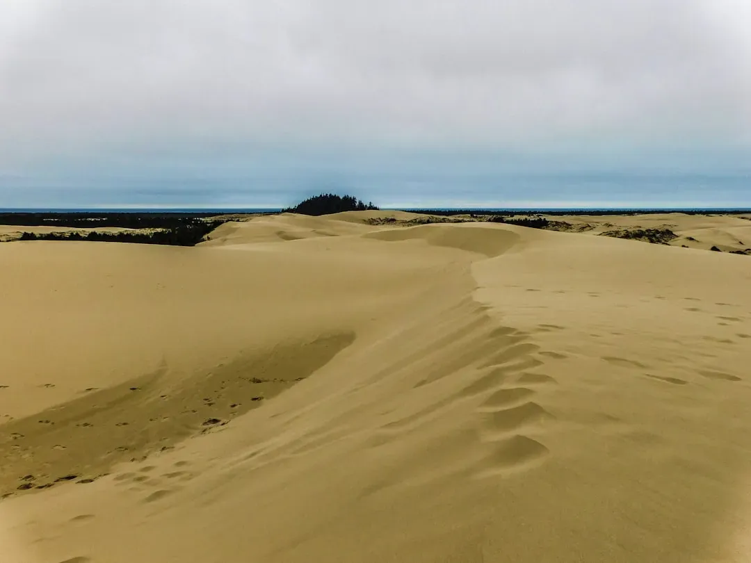
In parts of New Mexico, piñon and juniper forests brush up against sand dune fields, creating an uncanny hybrid landscape where trees seem to be slowly sinking into pale waves. Unlike the classic image of static desert dunes, these sandy ridges can migrate under the push of strong winds, overrunning shrubs and trees and then leaving behind ghostly, half-buried trunks. The soil here is often a fragile veneer over unconsolidated sand and ancient river or lake sediments, which makes the ground itself feel unreliable. A gusty afternoon can erase footprints, alter small ridges, and subtly redraw the path you thought you knew.
Geologically, these forests tell a story of climate oscillations, changing wind regimes, and the legacy of long-vanished water bodies that once fed and shaped these deposits. Dune advancement or stabilization depends on how vegetation, groundwater, and sediment supply interact, which means small human changes – like overgrazing or groundwater pumping – can tip the balance toward renewed movement. To wander between stunted trees surrounded by creeping sand is to stand at the frontline where semi-arid woodland can be converted into active desert. The fear in this landscape is not cinematic quicksand but the slower, more relentless reality of ecosystems being literally buried by the shifting skin of the planet.
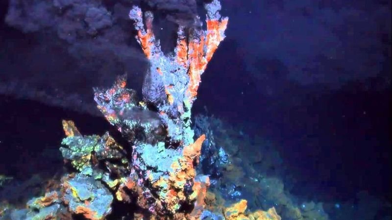
From Ancient Tools to Modern Science: Lava Forests of Hawaii’s Kīlauea and Mauna Loa
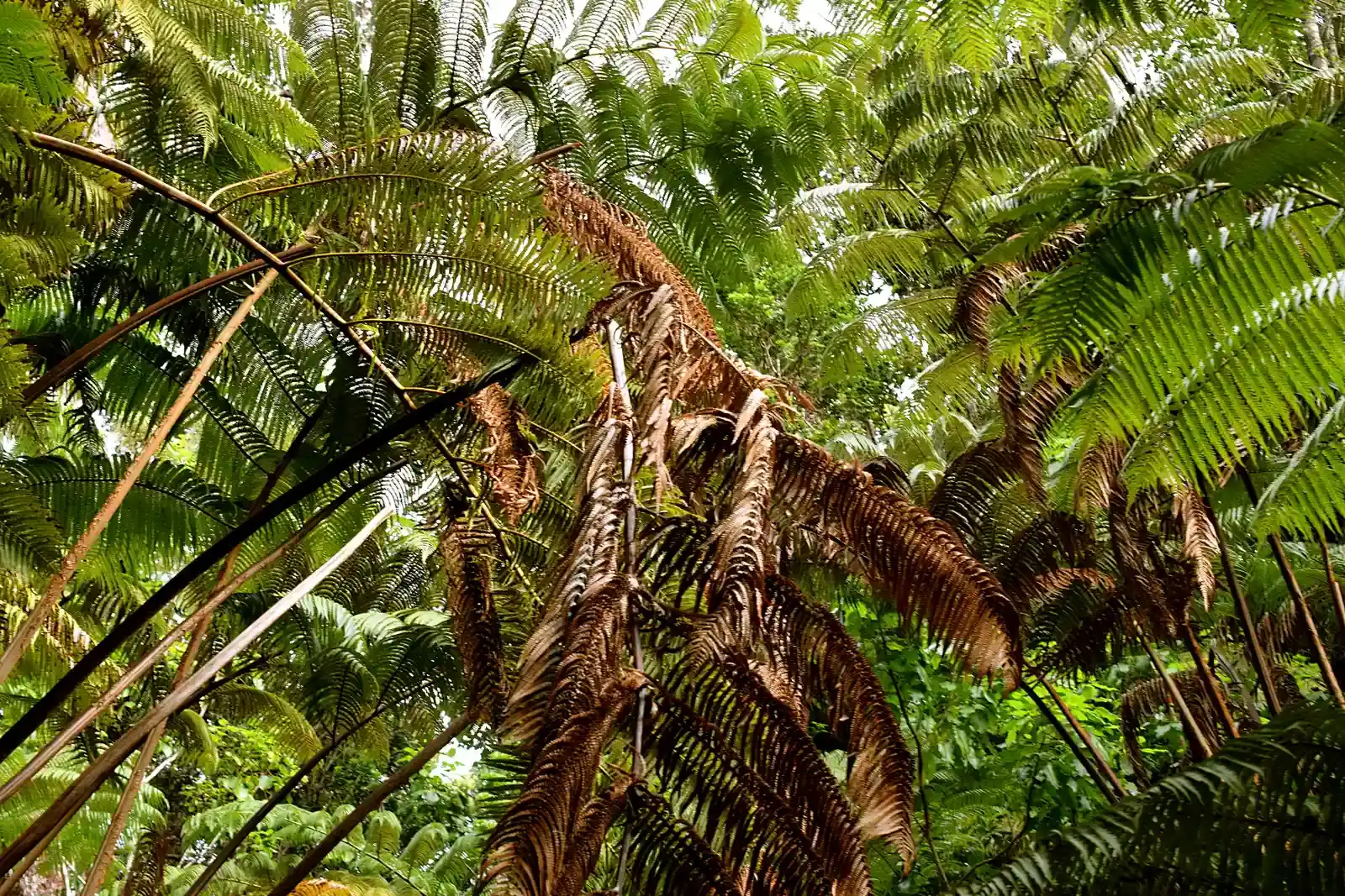
Even though Hawaii sits apart from continental North America, the forests draped across the flanks of Kīlauea and Mauna Loa belong in any discussion of the most unsettling wooded landscapes on this side of the planet. Here, towering ohia trees and lush understory plants stand on still-cooling lava flows, riddled with tubes, cracks, and skylights that can open without much warning beneath the moss. Some of the darkest, most claustrophobic forest sections grow where old lava channels have collapsed into deep linear trenches, now partly filled with soil and vegetation. Every root you step over could be tracing the margin of a void born in an eruption that local communities still remember.
Geologists use these forests as living field labs, reading the patterns of lava lobes, spatter cones, and subsidence pits that are now cloaked in greenery. When new eruptions occur, lava can invade forested areas again, burning organic matter, releasing gases, and even generating localized firestorms as tree canopies ignite. The ground itself records this history in stacked layers of ash and flow rock, like a geologic ledger of repeated upheaval and regrowth. To walk those trails is to sense how thin the line is between stable forest and molten chaos, and how recent many of these so-called ancient terrains actually are in geologic time.
Why It Matters: Fear as a Map to Earth’s Most Active Systems
It might be tempting to think of these forests as just spooky backdrops for ghost stories, but their unsettling qualities are really signposts pointing to active Earth systems. Ghost trees mark shifting coastlines and subsiding land; charred slopes and unstable soils map feedback loops between climate, vegetation, and erosion; sinkholes and caves reveal the quiet but relentless work of groundwater on rock. If you overlay maps of landslide risk, subsidence, seismic hazard, and rapid environmental change across North America, a surprising number of hot zones coincide with heavily forested regions. Our instinctive unease in some of these places often lines up with areas where geology is still moving the fastest.
From a scientific perspective, that fear is useful because it forces us to ask better questions about what lies beneath the surface. These forests offer natural laboratories where researchers can refine hazard models, test new monitoring tools, and reconstruct past events that written history missed. They also expose where human infrastructure – roads, pipelines, housing – is pushing deeper into landscapes that do not behave like stable, predictable platforms. By paying attention to the physical signs that make a forest feel wrong underfoot or eerily silent after rain, we are effectively reading a living map of where planet Earth is still experimenting, sometimes violently, with its own design.
The Future Landscape: Technology Meets the Dark Woods

Looking ahead, the are likely to get stranger as climate change, land use, and tectonics collide in ways we are only beginning to model. Warmer temperatures and shifting precipitation patterns are already transforming fire behavior, permafrost stability, and storm intensity, which means many forests will face more frequent tipping points. Emerging tools like satellite InSAR, airborne LiDAR, and distributed acoustic sensing allow scientists to detect ground deformation, hidden faults, and subtle landslide creep under dense canopies that once hid everything except the obvious disasters. These technologies effectively peel back the forest floor, revealing where slopes are slowly moving, where voids are expanding, and where coastlines are sagging.
But knowing more does not necessarily make these places less frightening; it just makes the risks more specific. Hazard maps might show that a beloved trail crosses several active slide zones, or that a picturesque estuarine forest stands on ground that dropped drastically in past earthquakes. Communities that border these forests will face tough decisions about retreat, reinforcement, or redesign, particularly where critical infrastructure threads through unstable terrain. The forests that unsettle us today may be the epicenters of hard choices tomorrow about which landscapes we try to hold in place and which we let Earth reshape on its own terms.
Global Perspectives: North America’s Haunted Forests in a Planetary Context
While this story focuses on North America, the phenomena that make its forests so unnerving are echoes of processes playing out worldwide. Coastal ghost forests appear in delta regions on multiple continents where sediment compaction and sea-level rise outpace uplift. Karst collapses trouble forests from China to the Balkans, and subduction-linked earthquakes have rearranged wooded coastlines from Japan to Chile. In each case, what feels like an isolated, local oddity – a drowned grove, a vanished trail, a split hillside – is actually part of a planetary-scale pattern of how water, rock, and tectonics interact.
Studying these North American examples in detail helps scientists refine models that can then be tested against similar forests elsewhere, improving global hazard forecasts. It also underscores a humbling truth: no matter how different these landscapes look on the surface, they are all variations on Earth’s core systems of heat flow, plate motion, and the rock cycle. The fear you feel stepping into a forest perched on a fault or over a cave is a small, instinctive recognition that you are standing on a living planet, not a finished product. In that sense, the scariest forests are also some of the most honest – they show us, up close, how unfinished the world beneath our boots really is.
Call to Action: Walking the Edge With Eyes Open
Engaging with these unsettling forests does not mean avoiding them; it means entering them with curiosity and respect for the forces that shaped them. One of the simplest steps is to learn the basic geology of the places you visit – whether that means reading local hazard maps, checking land management reports, or joining guided walks led by park geologists. Supporting conservation efforts that keep intact buffers around unstable slopes, karst areas, and dynamic coasts can reduce the chances that homes and roads end up in the path of the next landslide or subsidence zone. Even small choices, like sticking to marked trails in sinkhole-prone terrain or heeding fire-closure orders, help keep both people and fragile ground out of danger.
On a broader scale, backing science funding and community monitoring projects allows researchers to install sensors, update maps, and share data that turns eerie hunches into clear, actionable information. Citizen scientists who report unusual ground cracks, new sinkholes, or clusters of dying trees can provide early clues that something deeper is changing. The next time you feel a twinge of unease in a dark, silent stand of trees, consider it an invitation to look closer, learn more, and treat that forest as a living interface with the restless machinery of planet Earth.

Suhail Ahmed is a passionate digital professional and nature enthusiast with over 8 years of experience in content strategy, SEO, web development, and digital operations. Alongside his freelance journey, Suhail actively contributes to nature and wildlife platforms like Discover Wildlife, where he channels his curiosity for the planet into engaging, educational storytelling.
With a strong background in managing digital ecosystems — from ecommerce stores and WordPress websites to social media and automation — Suhail merges technical precision with creative insight. His content reflects a rare balance: SEO-friendly yet deeply human, data-informed yet emotionally resonant.
Driven by a love for discovery and storytelling, Suhail believes in using digital platforms to amplify causes that matter — especially those protecting Earth’s biodiversity and inspiring sustainable living. Whether he’s managing online projects or crafting wildlife content, his goal remains the same: to inform, inspire, and leave a positive digital footprint.