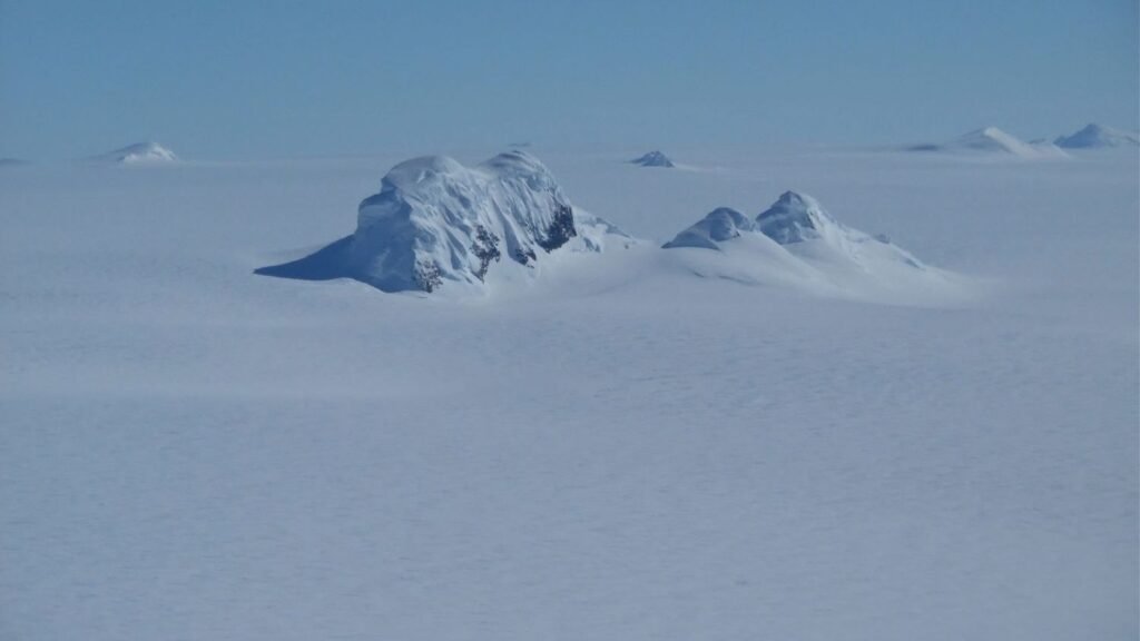
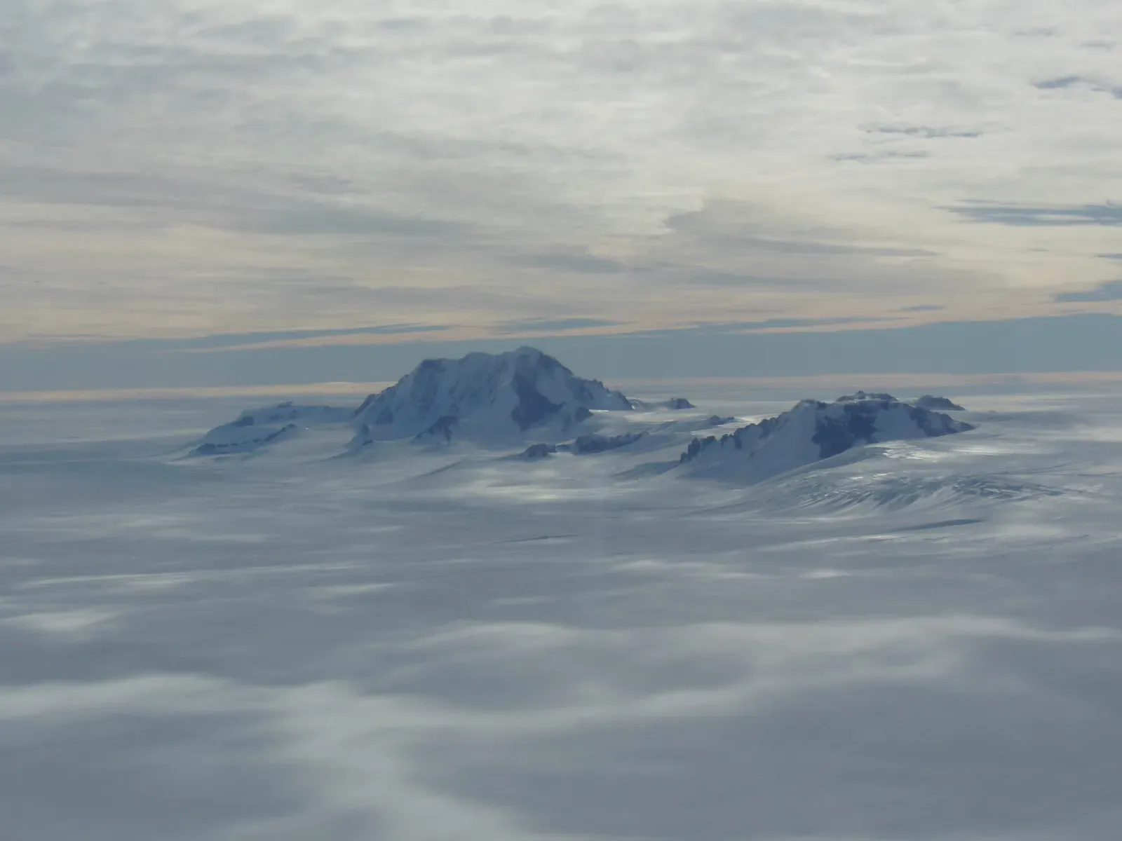
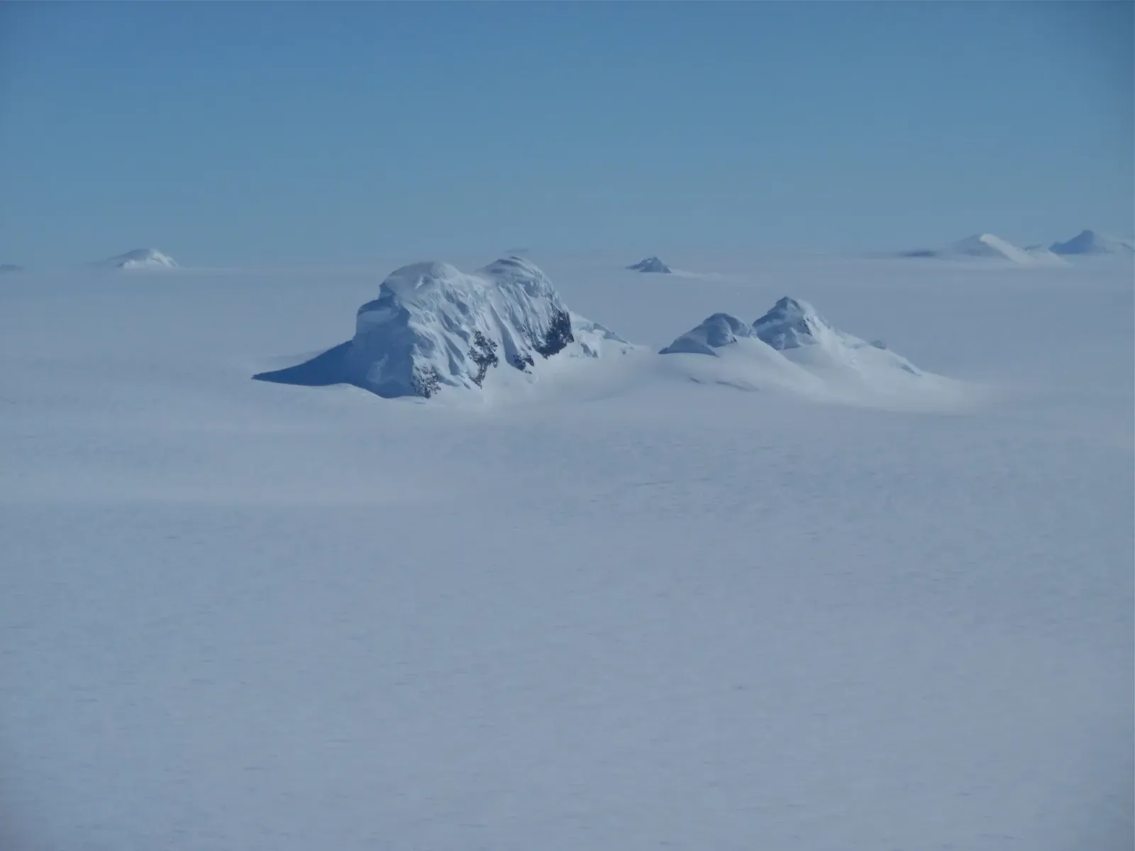
You probably picture Antarctica as a vast, white, endless flatland. Just snow, ice, and more ice stretching off to the horizon. But beneath that frozen shell, you’re actually looking at one of the most dramatic hidden landscapes on Earth, with mountain ranges that rival, and in places even surpass, the towering Alps.
Once you start to see Antarctica as a world turned inside out – its rock, valleys, and peaks buried under ice thicker than many mountains are tall – you realize just how incomplete your mental map of the planet really is. What feels like a frozen blank on the globe is actually a place of wild relief, secret geology, and stories that stretch back hundreds of millions of years, all sealed away under a sheet of ice you could never hike across in a day, or even a lifetime.
The Hidden Gamburtsev Mountains: A Buried Alpine Giant
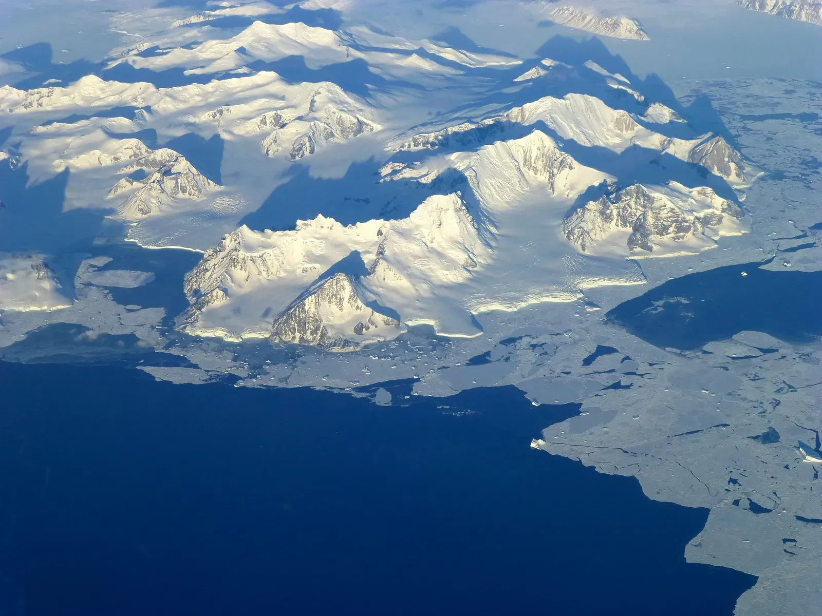
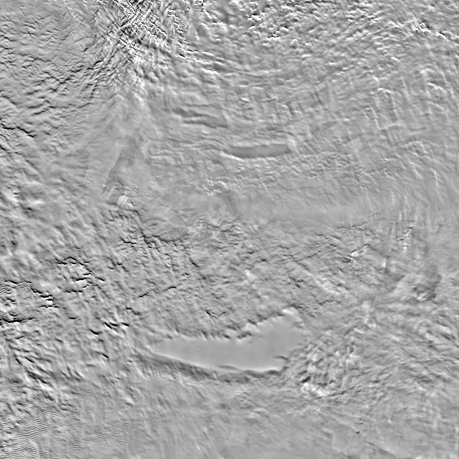
Deep under the East Antarctic Ice Sheet lies the Gamburtsev Subglacial Mountains, a range you cannot see but that you’d instantly recognize if you could strip the ice away. Radar surveys show jagged peaks, steep valleys, and sharp ridges rising to heights comparable to, and in places surpassing, the Alps. Picture the European Alps with their dramatic skyline – then imagine them completely entombed beneath up to several kilometers of ice.
What makes this even more mind-bending is that the Gamburtsev range is roughly about the size of the Alps in area, yet it’s invisible from the surface. You walk across Antarctica’s high interior plateau, and it might feel like you’re crossing a simple, gently rolling desert of snow. Under your feet, though, the terrain drops and rises like a frozen echo of Switzerland and northern Italy, only you’ll never see a single crag or cliff face break the surface.
How Scientists “See” Through Ice: Radar, Gravity, and a Lot of Patience
You might wonder how anyone can talk about mountains you can’t see or touch. The key is a set of tools that let you look through ice the way medical scans look through skin and bone. Airborne ice-penetrating radar sends radio waves down through the ice sheet and listens for echoes bouncing off the bedrock, building up a kind of shadowy 3D picture of the land below. It’s like turning Antarctica into a translucent globe and sketching the contours of what lies inside.
On top of radar, gravity measurements and subtle variations in Earth’s magnetic field help fill in the details. As aircraft fly grid patterns for hours across featureless snow, they map tiny changes that reveal where dense rock makes mountains, or deeper basins mark ancient valleys. It’s not fast, and it’s definitely not as cinematic as a helicopter swooping through a real mountain valley, but if you’re patient, you slowly pull a whole hidden continent into focus.
Why Mountains Taller Than the Alps Remain Completely Buried
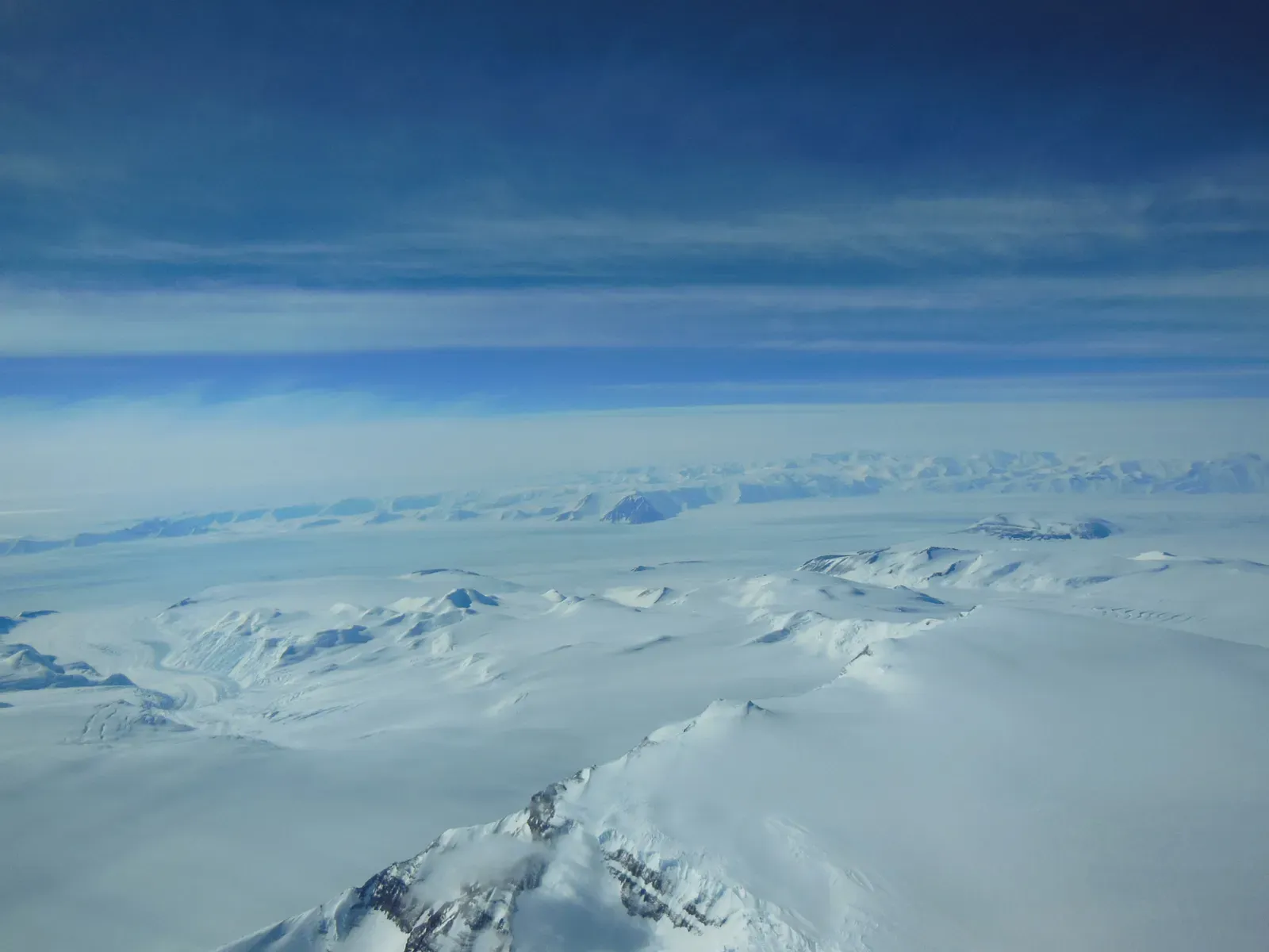
If some of these peaks are comparable to or higher than Alpine summits, why don’t they poke through the ice like rocky islands? The short answer is: the ice in Antarctica is staggeringly thick. In places, the East Antarctic Ice Sheet is more than three kilometers deep, with some spots approaching or exceeding four kilometers. That’s enough ice to swallow entire Alpine valleys and still leave thousands of meters of ice above the tallest summits beneath.
There’s another twist: the weight of that ice actually pushes the underlying crust downward, a process called isostatic depression. Imagine resting a heavy book on a foam cushion – the cushion sinks under the load. Antarctica’s crust reacts in a similar way. If the ice vanished, the land would slowly rebound upward over thousands of years, and those buried peaks would stand even taller above sea level than they do now in their hidden state.
A Landscape Older Than the Ice: Ancient Roots Under a Young Frozen Cap
The Antarctic ice sheet, dramatic as it is, is actually the newcomer in this story. The Gamburtsev Mountains and other buried ranges are much older than the ice that covers them, with geological evidence suggesting they began forming hundreds of millions of years ago. Some research points to an ancient origin possibly tied to the assembly and breakup of long-gone supercontinents, reshaped and rejuvenated over time by tectonic processes and erosion.
When you stand on the surface of the ice, you’re not just standing on winter that never ends – you’re standing on top of a story that spans deep time. The ice might be a few million years old in its oldest layers, but the rocks beneath have survived mountain-building events, tropical climates, shifting oceans, and the rise and fall of ecosystems long before humans existed. It’s like placing a fresh white sheet over a library of ancient books and then trying to read the titles without lifting the cloth.
How These Hidden Mountains Hold Clues to Earth’s Past Climate
Those buried peaks and valleys do more than shape the ice above; they quietly archive Earth’s climate history. The rugged bedrock controls how ice flows, where it thickens, and how old some of the deepest ice can get. In certain spots, cold, stable conditions created by the underlying landscape may preserve ice that formed well over a million years ago, potentially even older. If you drill there, you can pull up cylinders of ice that trap bubbles of ancient air.
When scientists analyze those bubbles, they’re effectively reading past atmospheres, learning how temperature, greenhouse gas levels, and climate have changed through multiple ice ages. The shape of the hidden mountains tells you where to look for the oldest, most undisturbed ice, almost like a treasure map. Without understanding that buried topography, you’d just be guessing where the deepest climate stories are hidden in the ice sheet’s layered pages.
Why Subglacial Mountains Matter for Future Sea-Level Rise
It’s tempting to think of those hidden mountains as purely a curiosity, but they actually matter to your future coastlines. The way ice flows around and over buried ranges controls where it is stable and where it is vulnerable to thinning and faster movement toward the ocean. Steep slopes can channel ice like a river cutting through a gorge, while ridges can act as anchors that slow down glacial streams – until warming or ocean changes undermine them.
As climate warms and the ocean nibbles at the edges of the Antarctic Ice Sheet, the interior topography quietly guides how that change propagates inland. If you know where the bedrock falls below sea level, drops into deep basins, or rises into hidden ridges, you can better predict which parts of the ice are more likely to contribute to future sea-level rise. Those buried mountains are not just geological trivia; they are part of the blueprint that models use to forecast how quickly and how much the seas might rise around the world.
The Strange Life Hiding in Valleys Below the Ice
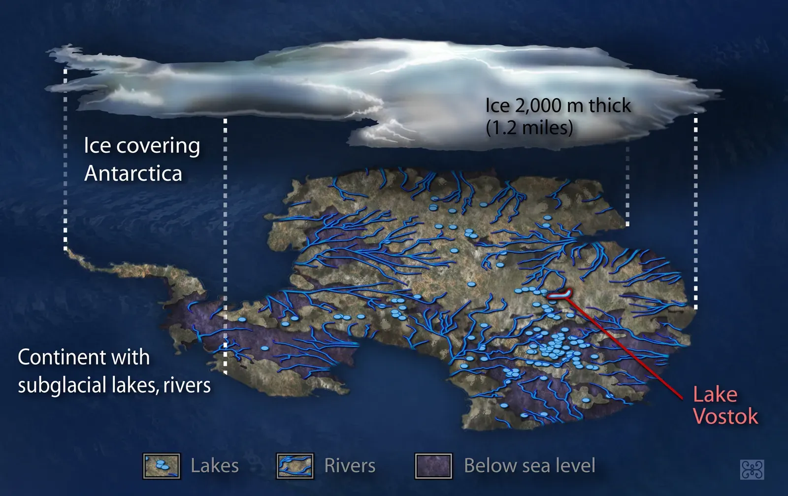
You might assume that buried mountain valleys under kilometers of ice are completely dead zones, but Antarctica keeps surprising you. In some of these low-lying basins and troughs, liquid water exists in the form of subglacial lakes and networks of channels, kept from freezing solid by pressure and gentle heat from inside the Earth. These hidden watery pockets, shaped by the surrounding bedrock, may host microbial life that has been isolated for extremely long periods.
Even where there is no open lake, the grinding of ice over rock produces fine sediment, and the landscape’s ups and downs create corridors for water to move slowly beneath the ice sheet. When researchers sample sediments and waters that eventually emerge from beneath glaciers at the coast, they often find hardy microorganisms clinging to existence. The mountains and valleys below the ice are not only geological structures – you can think of them as the foundations of strange, dark ecosystems that never see the sun.
What These Hidden Peaks Change About How You See Earth
Once you know that Antarctica hides mountains taller than the Alps, you start to question how complete your view of Earth really is. The world’s maps, as you learned them, are mostly skin-deep. Beneath oceans, beneath ice sheets, and even beneath some deserts, there are whole worlds of relief and structure you never see. Antarctica is just the most dramatic example, with its entire interior landscape flipped upside down and kept secret under ice thicker than many mountain ranges are high.
When you imagine those hidden peaks, you’re not just thinking about a cool bit of trivia – you’re confronting how dynamic and layered your planet actually is. The visible surface is only one chapter. Under that white expanse at the bottom of the globe lies a buried Alps, guiding ice, preserving climate memory, and sheltering odd forms of life. Next time you glance at a map and see a plain white blob labeled “Antarctica,” you might pause and ask yourself what other wonders you’re missing simply because you can’t see through the surface. Did you expect that a place that looks so empty could be hiding something so colossal?