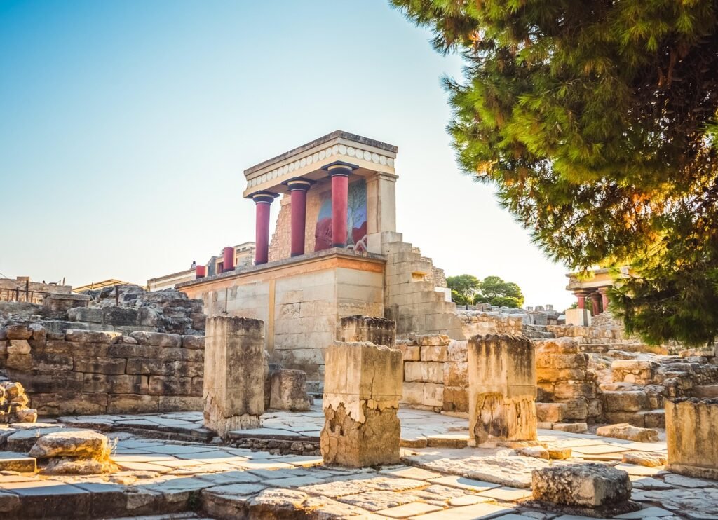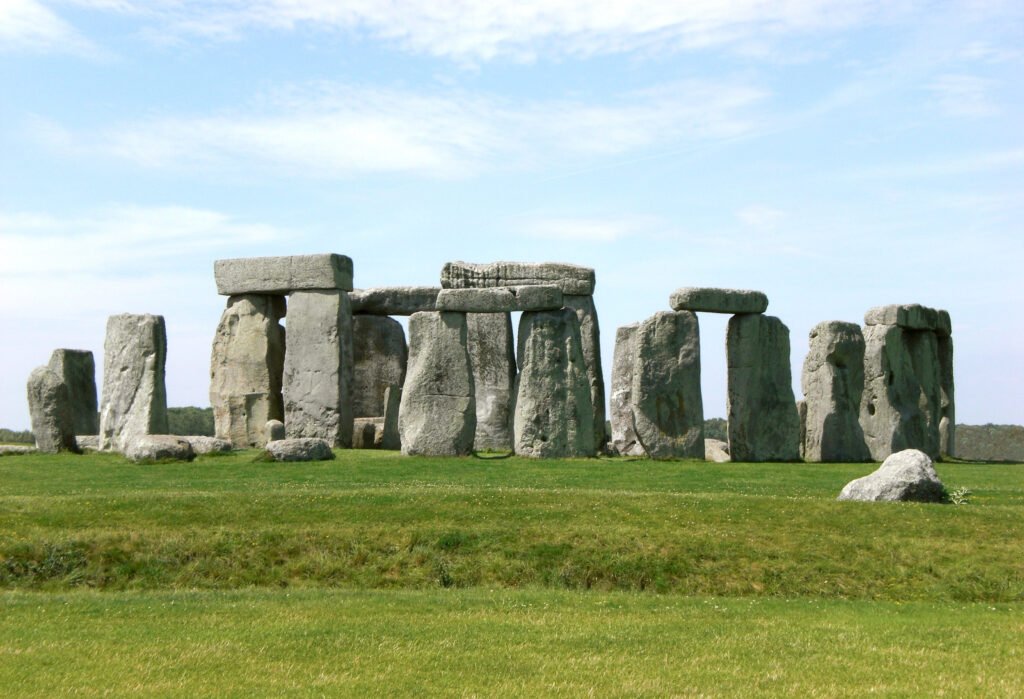
12 Ancient Mysteries Scientists Still Can’t Solve – From the Pyramids to the Amazon Spheres
You probably think we’ve figured out everything about our ancestors by now. With all our advanced technology and brilliant minds working around the clock, surely we’ve cracked every code and solved every puzzle from the past, right? Think again. Despite decades of research and countless hours of investigation, some of the most fascinating mysteries from ...