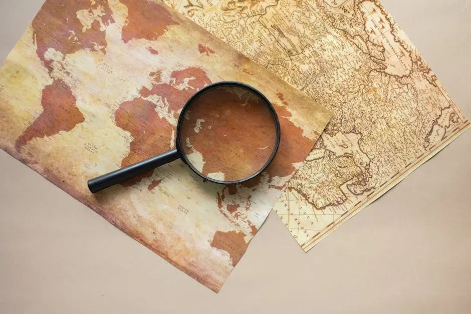
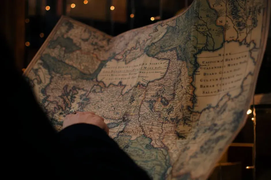
You have probably stared at an old map and felt that strange chill down your spine. There is something eerie about seeing coastlines, islands, or even whole continents sketched out long before anyone you learned about in school was supposed to have gone there. When you notice a familiar shape in the wrong century, your brain starts whispering: how could they have known?
Once you start looking closer, those whispers get louder. You see outlines that resemble Antarctica drawn centuries before modern polar exploration, or surprisingly accurate depictions of the Americas at a time when supposedly only a few European powers were just fumbling along the coasts. You are left with a puzzle: were these cartographers unbelievably lucky, secretly well‑informed, or working with knowledge that has mostly vanished from the written record?
The Strange Accuracy of Some Ancient Coastlines
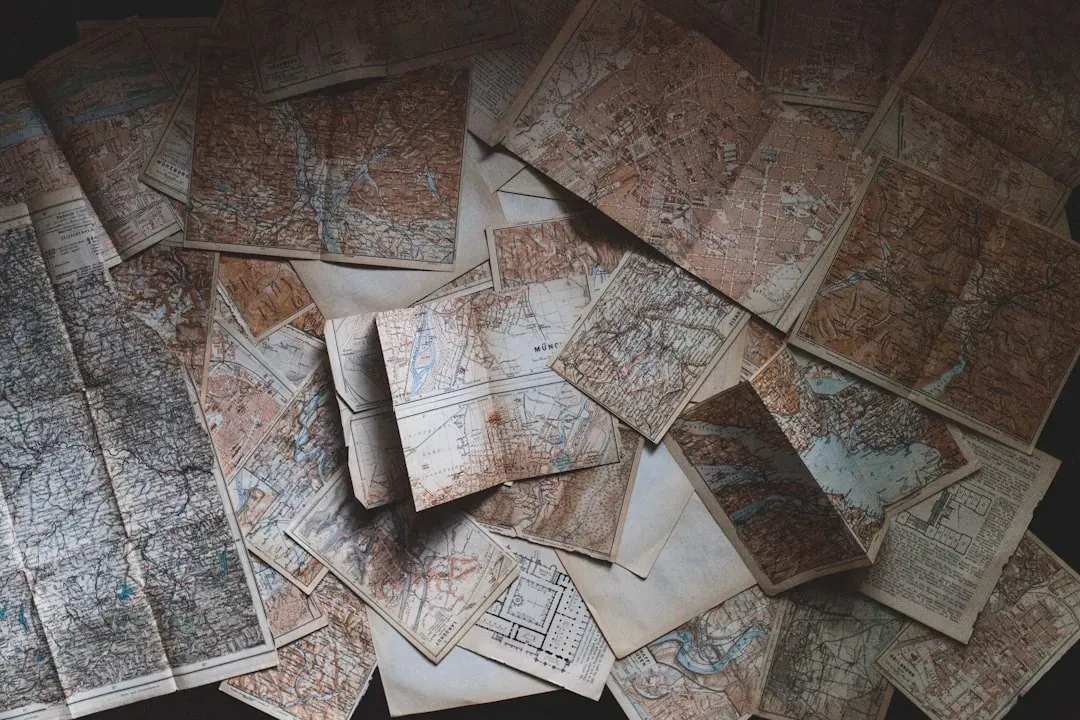
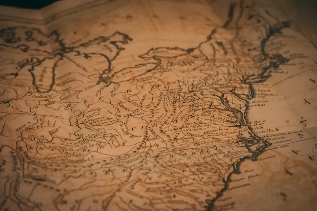
When you compare certain ancient and medieval maps to modern satellite images, you sometimes feel like you are looking at a spoiler for history. You see coastlines in the Mediterranean, the Indian Ocean, or parts of Africa that seem shockingly close to reality given the tools people supposedly had. You might assume that these maps would be wildly distorted, but some shorelines line up much better than you would expect from word‑of‑mouth tales and rough compass readings.
You can imagine a cartographer centuries ago, hunched over a table, hearing scattered reports from sailors, traders, and soldiers, and then somehow stitching their stories into a picture that almost matches what you see on Google Earth today. You might think, there is no way this person could have measured latitudes precisely or calculated longitudes reliably, and yet some of those maps do not look like random guesses. That kind of accuracy makes you wonder how much quiet technological and observational skill people had that never got fully written down.
How Knowledge Traveled Much Farther Than You Were Taught
If you grew up with a neat timeline of “discovery” in your head, you probably imagine history as a series of firsts: one civilization arrives, then another, each planting a flag on a blank spot. But if you pay attention to older maps, you start to see a different story, where knowledge about far‑off places trickled slowly along trade routes, across deserts, and over seas for centuries. You realize that details about distant lands did not always arrive as heroic voyages; they often came as rumors, prices, and scraps of description woven into merchant gossip.
Picture yourself as a mapmaker in a busy port city, constantly hearing about strange coasts, unusual winds, and foreign harbors from sailors who have been pushed off course. One crew swears there is a large landmass far to the west, another talks about islands to the south where the stars look different. You do not need to see these places yourself to start sketching them. Bit by bit, you pull these shards of information into an outline that feels solid enough to ink, and centuries later someone else stares at your work and wonders how you knew.
Lost Sources: Ancient Charts Behind Medieval Maps
One of the most unsettling possibilities you have to consider is that many of the maps that shock you today were already copies or echoes of something older. When you see a medieval or early modern map with details that seem too advanced for its time, you may actually be looking at the faded reflection of charts that no longer survive. Empires fell, libraries burned, sailors guarded their best routes, and countless documents simply rotted away, leaving you with secondhand glimpses of a much richer mapping tradition.
Imagine that somewhere along a long chain of copying, a scribe traced a coastline from a scroll written by navigators whose names you will never know. By the time the map reaches you, the script has changed, the artistic style looks different, but the shape of that land remains. You are tempted to think the last person in the chain pulled this outline out of thin air, when in reality they may have been leaning on centuries of lost experience. That thought alone forces you to treat “impossible” knowledge on old maps with more humility.
Misread Shapes, Wishful Thinking, and Coincidence
Before you jump to hidden civilizations and secret global voyages, you need to admit something uncomfortable: your brain is really good at seeing patterns that are not actually there. When you stare at an old, rough map, you are likely to recognize familiar shapes even when the cartographer never meant them that way. A vague southern landmass drawn as a philosophical idea might remind you of Antarctica, and suddenly you feel like you have uncovered a conspiracy, when in reality you are just matching outlines the way you see animals in clouds.
You also have to remember that many mapmakers filled empty spaces with educated guesses or even pure speculation. If you were drawing the world with large blanks at the edges, you might be tempted to smooth them over with imaginary coasts, mythical islands, or huge southern continents that “balanced” the globe. Every now and then, a lucky guess or a distorted report would accidentally resemble something real. In those cases, it is very easy for you, centuries later, to read precision and secret knowledge into what might have been a mix of creativity, error, and coincidence.
Climate, Coastline Changes, and the Illusion of Prophecy
Another twist you might not think about at first is that the world itself has not stayed frozen in the shapes you see today. Coastlines shift, river mouths move, and ice advances or retreats over long periods of time. When you see an old map that seems to show a coastline “before” it was supposedly explored, you may actually be comparing a picture based on older shorelines or different environmental conditions to a modern outline that has changed. What looks like a prophetic vision can sometimes be a record of a coastline that no longer exists.
If you imagine yourself living in a world where sea levels were even a little different, your own mental picture of the planet would not match today’s maps perfectly either. You might chart shallow seas as land, islands that would later vanish, or glaciers that covered areas now open water. Centuries later, someone could accuse you of having impossible knowledge or making wild mistakes, when really you were just drawing what you saw. That possibility pushes you to treat ancient cartography not as a static puzzle, but as a moving snapshot taken in a shifting world.
What These Maps Really Tell You About Human Curiosity
Once you strip away the mystery, the exaggeration, and the romantic stories, you are still left with something genuinely awe‑inspiring about these old maps. They remind you that people have always been hungry to know what lies beyond the horizon, even if they had to work with imprecise instruments, secondhand stories, and sheer nerve. Every half‑accurate coastline and every bold guess on parchment is a sign that someone refused to be satisfied with an incomplete picture of the world.
When you let that sink in, the real magic is not that ancient maps show lands that seem impossible to know about, but that so many people tried so hard to know anything at all. You see yourself in those efforts: collecting scraps of information, testing stories against reality, and slowly improving your mental map of the universe. Those strange old charts become less about secret knowledge and more about relentless curiosity, and you are left with a quiet question: if they could reach that far with so little, how far are you willing to reach with everything you have now?
Conclusion: Balancing Mystery and Evidence
When you put all of this together, you end up in a more grounded but still fascinating place. You can acknowledge that some ancient and medieval maps do contain details that seem startling for their time, while also accepting that trade networks, lost sources, copying traditions, climate shifts, and simple coincidence all played a part. Instead of choosing between wild theories and dull dismissal, you hold onto a middle path where you respect both the limits and the brilliance of the people who drew these maps.
In the end, those old charts are like mirrors that show you how humans have always tried to imagine more than they could see with their own eyes. You are invited to keep asking hard questions, to dig into evidence, and to resist both easy skepticism and easy wonder. The lands that once felt impossible to know about might not prove secret global empires, but they do prove something just as powerful: your species has never stopped reaching. When you look at an ancient map now, what do you see first – the mystery, or the determination behind it?