Thursday Marks the Start of Wet Conditions (Image Credits: Flickr)
Houston – A persistent pattern of moisture promises showers across the region through the coming week. Residents can expect warm temperatures mixed with frequent rain chances, peaking with possible thunderstorms over the weekend.[1][2] The setup stems from Gulf influences delivering steady humidity, keeping umbrellas within easy reach from Thursday onward.
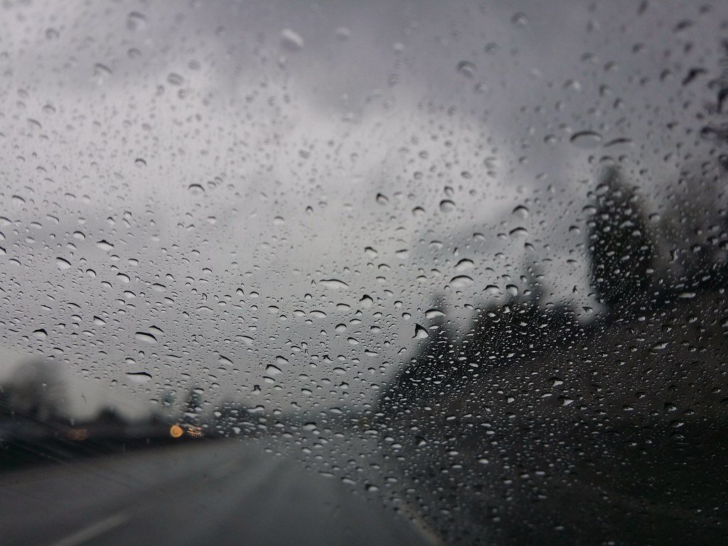
Thursday Marks the Start of Wet Conditions
Cloudy skies dominated Thursday, April 9, with highs reaching 81 degrees Fahrenheit and lows dipping to around 64 to 68 degrees. Precipitation chances hovered at 15 to 30 percent, bringing isolated showers mainly in the afternoon.[1][2] Winds from the east-southeast at 13 to 14 mph added a breezy feel to the day.
Forecasters noted partly sunny intervals giving way to increasing clouds, setting the tone for the week’s moisture-laden air. Evening conditions remained mostly cloudy with minimal rain risk overnight.[3]
Friday’s Higher Storm Potential
Friday, April 10, brought elevated rain odds at 34 to 60 percent, with highs near 78 to 81 degrees and lows around 67 to 68 degrees. Isolated thunderstorms became more likely, especially in the afternoon, under mostly cloudy skies.[1][2] Southeast winds at 12 to 13 mph contributed to gusts up to 20 mph in stronger cells.
This day represented a step-up in activity, as a stronger system edged closer, fueling downpours and lightning risks. Rainfall accumulations could reach a tenth to a quarter inch in heavier bands.[4]
Weekend Showers and Thunder Keep Patterns Active
Saturday, April 11, maintained shower threats at 30 to 46 percent, with temperatures holding steady at highs of 80 to 82 degrees and lows near 68 to 70 degrees. Scattered showers dotted the forecast, particularly in the afternoon, alongside partly sunny breaks.[1] Winds shifted southeast at 15 to 16 mph.
Sunday, April 12, followed suit with 50 to 53 percent precip chances, highs around 80 to 81 degrees, and lows of 70 to 71 degrees. Scattered thunderstorms posed the main hazard, under overcast conditions with south-southeast winds at 15 to 16 mph.[2]
Midweek Trends and Extended Outlook
Moving into the workweek, Monday, April 13, offered highs of 83 to 85 degrees and lows near 71 to 72 degrees, with 20 to 38 percent shower odds focused in the morning. Tuesday, April 14, warmed to 85 to 86 degrees highs and 71-degree lows, dropping to 20 to 24 percent rain risk under mostly cloudy skies.[1]
Wednesday through Saturday maintained similar warmth, highs 84 to 87 degrees, lows 69 to 71 degrees, and precip chances of 19 to 44 percent, blending isolated storms with partly cloudy intervals. Winds stayed southerly at 11 to 17 mph throughout.[2]
| Day | High/Low (°F) | Precip Chance (%) | Conditions |
|---|---|---|---|
| Thu Apr 9 | 81/66 | 20-30 | Cloudy, isolated showers |
| Fri Apr 10 | 79/68 | 40-60 | Thunderstorms possible |
| Sat Apr 11 | 81/69 | 30-46 | Scattered showers |
| Sun Apr 12 | 80/71 | 50-53 | Thunderstorms likely |
| Mon Apr 13 | 84/71 | 20-38 | AM showers |
Key Takeaways
- Warm highs in the low 80s persist amid daily shower threats.
- Thunderstorm peaks Friday through Sunday; monitor updates.
- Gulf-driven moisture sustains the rainy pattern into next week.
This forecast underscores Houston’s classic spring volatility, where Gulf moisture clashes with warming air to produce repeated wet spells. Drivers, event planners, and outdoor enthusiasts should check radar frequently and secure loose items ahead of gusty winds. What are your plans if the rain hits? Share in the comments below.