A Welcome Break from Holiday Rain (Image Credits: Flickr)
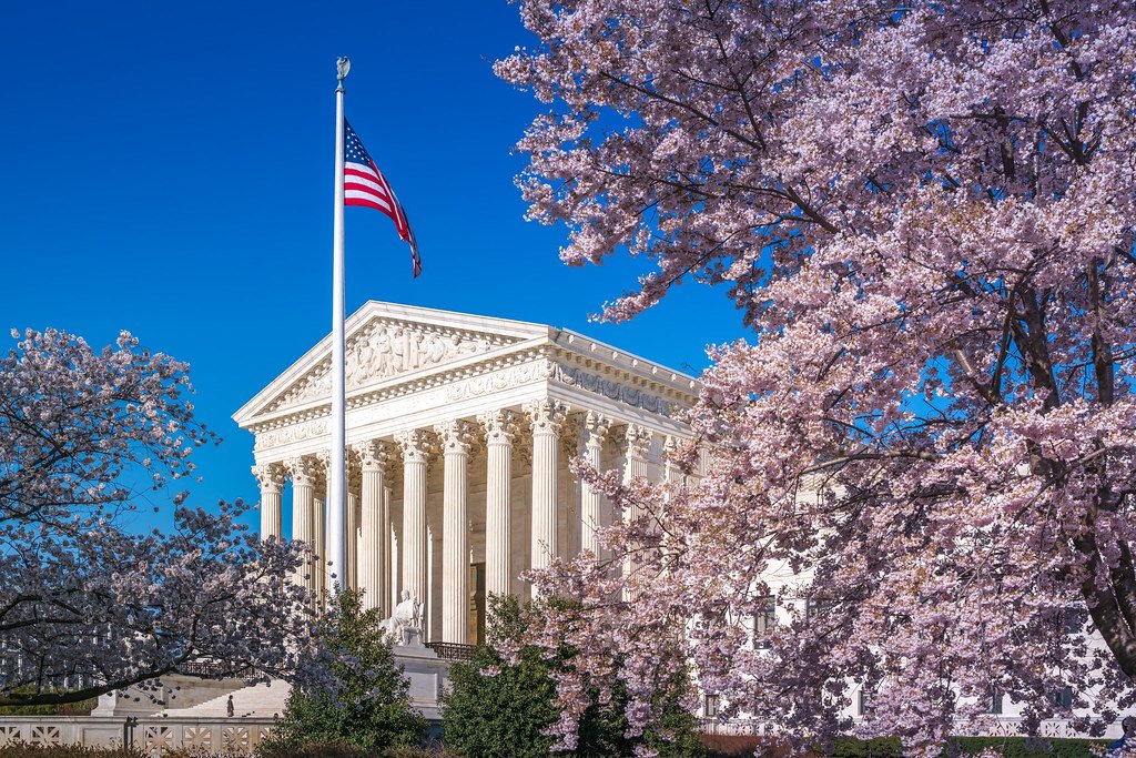
Washington, D.C. – The nation’s capital emerged from a soggy Easter Sunday into a bright, seasonable Monday marked by abundant sunshine and gentle breezes. High pressure dominated the region, sweeping away the weekend’s moisture and setting the stage for a dry start to the workweek. Residents enjoyed highs in the low 60s under mostly clear skies, a stark contrast to the steady showers that dampened holiday plans the day before.[1][2]
A Welcome Break from Holiday Rain
Saturday brought record-breaking warmth to the area before showers arrived on Easter Sunday. Rain developed mid-morning, accompanied by gusty winds and falling temperatures from the low 70s into the 60s. The precipitation persisted through much of the afternoon, with some rumbles of thunder reported.[3][4]
A cold front trailed the rain, ushering in cooler, drier air overnight. This shift cleared the skies by dawn on Monday, allowing high pressure to build and stabilize conditions. Meteorologists noted the beneficial rainfall but highlighted the timely improvement for commuters and outdoor enthusiasts.[2]
Monday’s Conditions: Ideal and Invigorating
Mostly sunny skies prevailed across Washington, D.C., with highs reaching 58 to 63 degrees Fahrenheit. West winds at 10 to 15 miles per hour added a crisp feel, particularly in the afternoon. Precipitation chances remained minimal at around 4 percent, ensuring a rain-free day.[5][6]
Overnight lows dipped into the mid-40s under partly cloudy skies. The breezy conditions prevented any muggy remnants from the weekend, offering comfortable temperatures seasonable for early April. Such weather encouraged strolls along the National Mall and patio dining in neighborhoods like Georgetown.
Extended Outlook: Cool Snap Before Warming Trend
Tuesday promised even cooler weather, with highs near 54 to 55 degrees and lows around 33 to 34. Sunny skies continued amid breezy conditions, marking a departure from recent warmth. Wednesday followed suit with similar temperatures in the mid-50s.[5][1]
Conditions gradually moderated later in the week. Thursday saw highs climbing to 63 degrees, while Friday approached 73. The forecast indicated low precipitation risks through the period, supporting high pressure’s influence.
| Day | High (°F) | Low (°F) | Conditions |
|---|---|---|---|
| Monday, Apr 6 | 62 | 46 | Mostly Sunny |
| Tuesday, Apr 7 | 54 | 34 | Sunny |
| Wednesday, Apr 8 | 54 | – | Partly Cloudy |
| Thursday, Apr 9 | 63 | – | Mostly Sunny |
| Friday, Apr 10 | 73 | – | Partly Cloudy |
What This Means for the Capital Region
The dry weather benefited air quality and reduced flood risks after Sunday’s rains. Commuters faced no delays from wet roads, while parks saw increased foot traffic. Local forecasters emphasized dressing in layers for the variable winds.
- Layer clothing for morning chill and afternoon warmth.
- Expect gusts up to 15 mph, securing loose outdoor items.
- Pollen levels may rise with sunny, breezy days – sensitive residents should monitor alerts.
- Ideal conditions for biking or walking to work.
- Week’s cool start transitions to spring-like by weekend.
Key Takeaways
- Easter Sunday rain cleared rapidly, yielding sunny Monday highs near 62°F.
- Midweek cools to upper 50s before rebounding to 70s by Friday.
- High pressure ensures mostly dry conditions through the week.
As high pressure anchors the forecast, Washington, D.C., steps into a refreshing week of stable weather. This pattern offers a classic spring preview, balancing crisp mornings with mild afternoons. What are your plans under these clear skies? Share in the comments below.