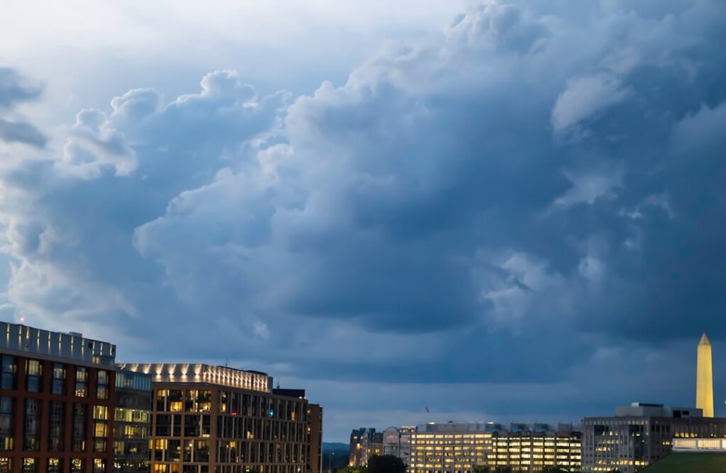
Early Day Rain Disrupts Holiday Plans (Image Credits: Unsplash)
Washington, D.C. – Residents and visitors marking Easter Sunday faced a shift from recent balmy conditions to rainy skies and breezy winds. A strong cold front swept through the region, delivering showers and thunderstorms early in the day before gradual clearing later on.[1][2] High temperatures hovered in the upper 60s to low 70s early, falling through the afternoon amid the unsettled weather.[3]
Early Day Rain Disrupts Holiday Plans
A Weather Impact Alert highlighted the potential for rain and showers to affect Easter gatherings across the District, Maryland, and Virginia. Showers arrived by mid-morning, accompanied by gusty winds from the southwest at 10 to 20 mph, with gusts up to 30 mph in some spots.[4][5] Thunderstorms posed a brief risk before 1 p.m., leading to possible ponding on roadways during the heaviest downpours.[3]
Forecast models indicated a 90% to 100% chance of precipitation, with rainfall totals nearing a quarter-inch in many areas, though locally heavier amounts occurred.[6] The front marked a stark contrast to the record high temperatures from the weekend prior, when readings soared into the upper 80s.
Temperatures Drop Sharply in the Afternoon
Daytime highs started in the low to mid-70s but tumbled progressively as the cold front progressed eastward. By late afternoon, readings dipped into the 60s and even upper 50s in parts of the region, with breezy conditions enhancing the chill.[7][3] Clearing skies emerged toward evening, setting the stage for a mostly clear night with lows settling around 43 to 48 degrees.
This cooling trend continued the pattern of variable spring weather, following a mild March and an unusually warm early April.[8] Winds shifted to the northwest overnight, further dropping overnight minima into the low 40s.
Extended Forecast Signals Crisp Early Week
Monday promised mostly sunny skies with highs rebounding only modestly into the low 60s, accompanied by continued breezy conditions. Lows dipped into the mid-30s to low 40s, a noticeable chill compared to recent days.[7]
Tuesday and Wednesday looked drier and brighter, with temperatures climbing back toward the mid-50s to low 60s. However, another system loomed later in the week, potentially bringing additional showers.
| Day | High/Low | Conditions |
|---|---|---|
| Sunday (Easter) | 72°/44° | Rain early, clearing late[9] |
| Monday | 62°/40° | Mostly sunny, breezy |
| Tuesday | 58°/35° | Sunny, cool |
Practical Advice for Navigating the Weather
Travelers at Reagan National Airport and other regional hubs encountered minor delays from the showers but no widespread disruptions. Drivers needed to watch for wet roads and reduced visibility during peak rain periods.
Outdoor enthusiasts adjusted plans, opting for indoor alternatives amid the wet start. Here are key preparations:
- Grab a lightweight rain jacket and umbrella for morning errands.
- Secure outdoor decorations against gusty winds.
- Check local event updates, as some Easter activities shifted indoors.
- Layer clothing for the temperature drop later in the day.
- Monitor updates from the National Weather Service for any thunderstorm warnings.
Key Takeaways:
- Rain tapers off by afternoon, with highs falling from 72° to the 60s.
- Cooler air dominates early next week, with lows near freezing possible.
- Breezy conditions persist, but clearing skies improve evening visibility.
As the cold front ushers in a refreshing chill after days of unseasonal warmth, Washingtonians can look forward to classic spring weather settling in. This shift reminds everyone of the capital’s unpredictable April patterns. What are your Easter weekend weather stories? Share in the comments below.