Temperatures Surge to Record-Tying Levels (Image Credits: Unsplash)
Washington, D.C. — The nation’s capital enters a stretch of balmy spring weather, with temperatures climbing into the 80s for several days. Breezy southwesterly winds fuel the heat, offering a taste of summer amid typical early April variability. Forecasters warned of scattered storms arriving by midweek, potentially bringing heavy downpours and gusty conditions.[1][2]
Temperatures Surge to Record-Tying Levels
Early week highs approached 86 degrees Fahrenheit on Tuesday, March 31, under partly cloudy skies. Conditions remained mostly sunny with winds gusting up to 20 mph from the southwest. This warmth marked a significant departure from seasonal norms, drawing comparisons to summer days.[3]
Wednesday promised even hotter air, with forecasts calling for 88 degrees and a risk of showers developing in the afternoon. One model suggested potential to match a 1978 record high. Breezy conditions persisted, keeping humidity in check despite the heat.[4]
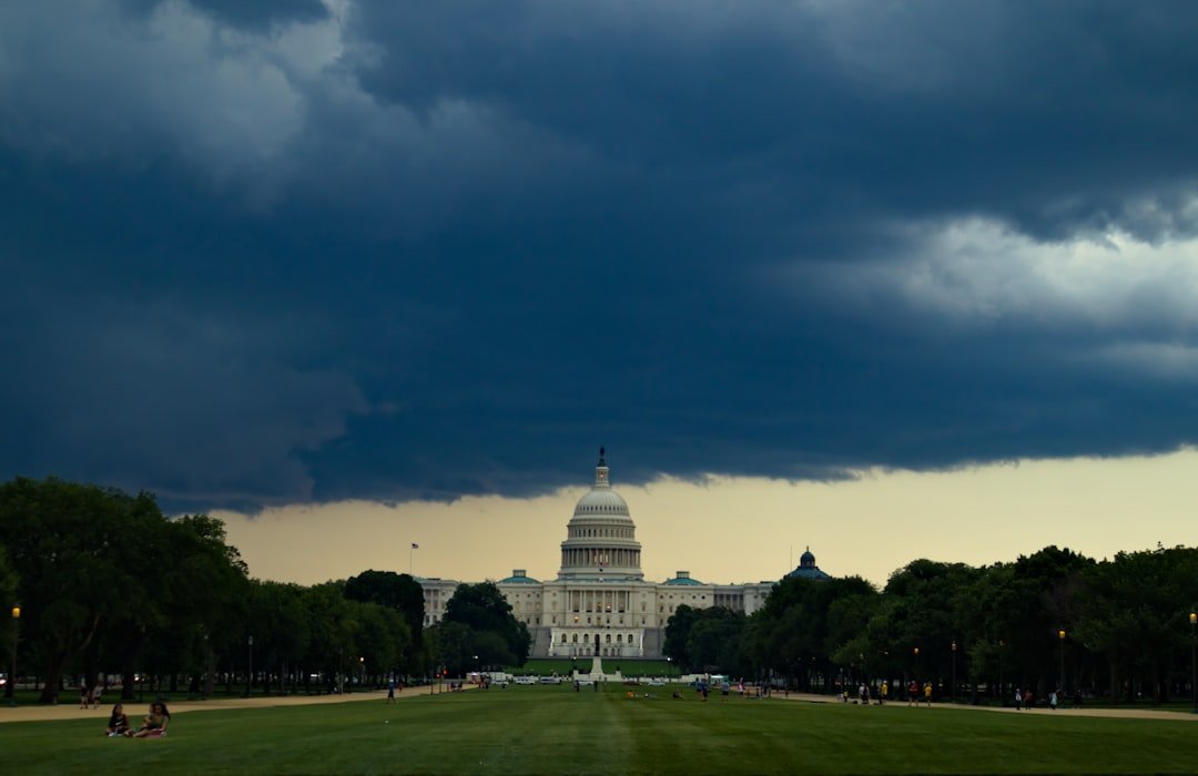
Storm Development Expected Midweek
A frontal boundary stalled nearby triggered chances for thunderstorms by Wednesday evening. Precipitation probabilities reached 24 percent, with heavier activity possible in isolated spots. Gusty winds accompanied any downpours, raising minor flood concerns in low-lying areas.[1]
Thursday brought a cooldown to the mid-60s, but lingering moisture kept shower risks alive at around 20 percent. Partly cloudy skies dominated, with lighter winds allowing overnight lows to dip into the 50s. The system responsible for these disturbances moved slowly, prolonging unsettled patterns.[3]
Extended Outlook: Warmth Returns Before Rain
Friday and Saturday rebounded to the low 80s under partly cloudy conditions, with minimal precipitation threats. Highs of 81 to 85 degrees returned, accompanied by moderate southwest breezes. These days offered prime opportunities for outdoor activities before another shift.[1]
Sunday introduced showers and cooler air, with highs dropping to the upper 70s and precipitation chances exceeding 60 percent. Lows plunged into the 40s overnight, signaling a return to more seasonal weather. The pattern stabilized early next week with highs in the 60s.[3]
| Day | High/Low (°F) | Conditions | Precip Chance |
|---|---|---|---|
| Tue, Mar 31 | 84/66 | Partly Cloudy | 1% |
| Wed, Apr 1 | 86/59 | Mostly Cloudy, T-Storms PM | 24% |
| Thu, Apr 2 | 64/52 | AM Clouds/PM Sun | 21% |
| Fri, Apr 3 | 81/64 | Partly Cloudy | 8% |
| Sat, Apr 4 | 85/67 | Partly Cloudy | 10% |
Impacts and Preparation Advice
Urban heat amplified the warm spell, prompting hydration reminders from local authorities. Outdoor events proceeded under sunny skies, though thunderstorm watches loomed for Wednesday. Commuters faced potential delays from afternoon storms.
- Carry umbrellas for midweek outings.
- Secure loose outdoor items against gusty winds.
- Monitor updates from National Weather Service.
- Limit strenuous activity during peak heat hours.
- Check low-water crossings before heavy rain.
Key Takeaways
This volatile forecast underscores spring’s unpredictable nature in the Mid-Atlantic. Residents balancing warmth with storm prep can make the most of clear days. What are your plans for the warm stretch? Tell us in the comments.