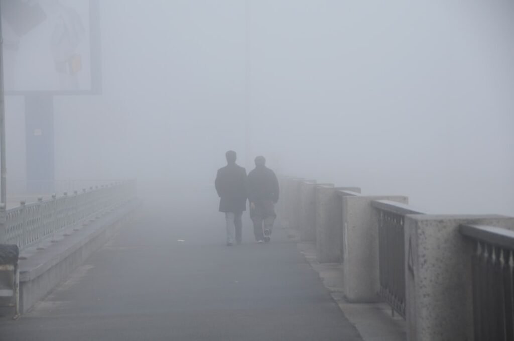

Fog Creates Hazardous Morning Conditions (Image Credits: Unsplash)
St. Louis – Dense fog reduced visibility to near zero across the area early Friday morning, delaying the start of what promises to be a milder day.[1][2]
Fog Creates Hazardous Morning Conditions
A Dense Fog Advisory remained in effect until 9 a.m., as the thick fog settled over much of the St. Louis region. Drivers faced near-zero visibility in many spots, requiring extra caution during the morning commute. Officials urged motorists to slow down and use low-beam headlights. The fog developed overnight and took time to dissipate, shifting in some areas as residual moisture lingered from recent rains.[1]
North of St. Louis, the fog layer proved particularly stubborn where lighter overnight precipitation allowed it to form. Conditions improved gradually after sunrise, with the advisory set to expire by mid-morning. Residents reported slick roads from earlier showers combined with the low visibility. Meteorologists noted that such fog often follows periods of unsettled weather.
Friday Offers Breezy Relief and Record-Warm Temperatures
Residents gained a welcome pause from recent rain and storms as Friday unfolded dry during the daytime hours. Breezy conditions accompanied very warm air, pushing highs near 80 degrees – close to record territory.[1][3] Partly sunny skies peeked through at times, making for pleasant outdoor activities in the afternoon.
Winds picked up, contributing to the comfortable feel despite the warmth. Evening plans appeared favorable before any weather changes arrived. The surge in temperatures marked a stark contrast to the cooler, wetter pattern of recent days. Flash flooding from Thursday night’s heavy storms had already eased in affected counties southeast of the city.
Severe Storms Threaten Late Friday into Saturday
A cold front triggered storms overnight Friday, with the most intense activity expected west toward Kansas City. Strong-to-severe thunderstorms carried risks as they approached St. Louis, prompting vigilance from forecasters. Heavy downpours, hail, and damaging wind gusts posed potential hazards late in the day and into the night.[1][3]
Showers and storms continued into Saturday morning before moving out. Lows dipped to the low 60s overnight, with breezy conditions persisting. The system promised to clear quickly, setting up drier weather later in the weekend.
Weekend Clears for Milder Days Ahead
Saturday began with lingering showers in the 60s before temperatures cooled further in the afternoon under clearing skies. Sunday offered a cool start followed by sunny conditions and highs in the 60s. The pattern hinted at warming again by Monday, though Tuesday brought renewed storm chances.
Forecasters outlined the shifts in a quick-reference outlook:
- Friday: High near 80, breezy, dry day; storms late.[1]
- Saturday: Morning storms exit; highs drop to 60s, partly sunny.
- Sunday: Sunny, highs 60s.
- Monday: Warming trend resumes.
- Tuesday: Stormy return possible.
| Day | High/Low | Conditions |
|---|---|---|
| Friday | 80°/63° | Breezy, warm; late storms[3] |
| Saturday | 66°/36° | Morning showers, cooler |
| Sunday | 60s | Sunny |
- Drive carefully through 9 a.m. fog advisory.
- Enjoy the warm Friday afternoon, but monitor evening storm risks.
- Storms peak overnight Friday into early Saturday.
St. Louis weather delivered a classic spring tease – foggy hurdles yielding to warmth, only for storms to remind everyone of the season’s volatility. Plan outdoor time wisely Friday while preparing for potential disruptions overnight. What are your weekend weather plans? Share in the comments.