On a low rise east of the Mississippi River, not far from the St. Louis skyline, an ancient city once pulsed with life and ambition. Cahokia was the largest urban center in North America before European contact, yet it hides in plain sight beneath neighborhoods, farm fields, and the steady hum of I‑55. Archaeologists are still piecing together how this metropolis rose with breathtaking speed around the year 1050 and unraveled just three centuries later. The mystery is gripping: a city that flourished without wheels, iron, or draft animals, but built monuments that still command the horizon. What we learn here doesn’t just rewrite regional history – it challenges the way we think cities grow, feed themselves, and endure.
The Hidden Clues: A City That Reshaped North America
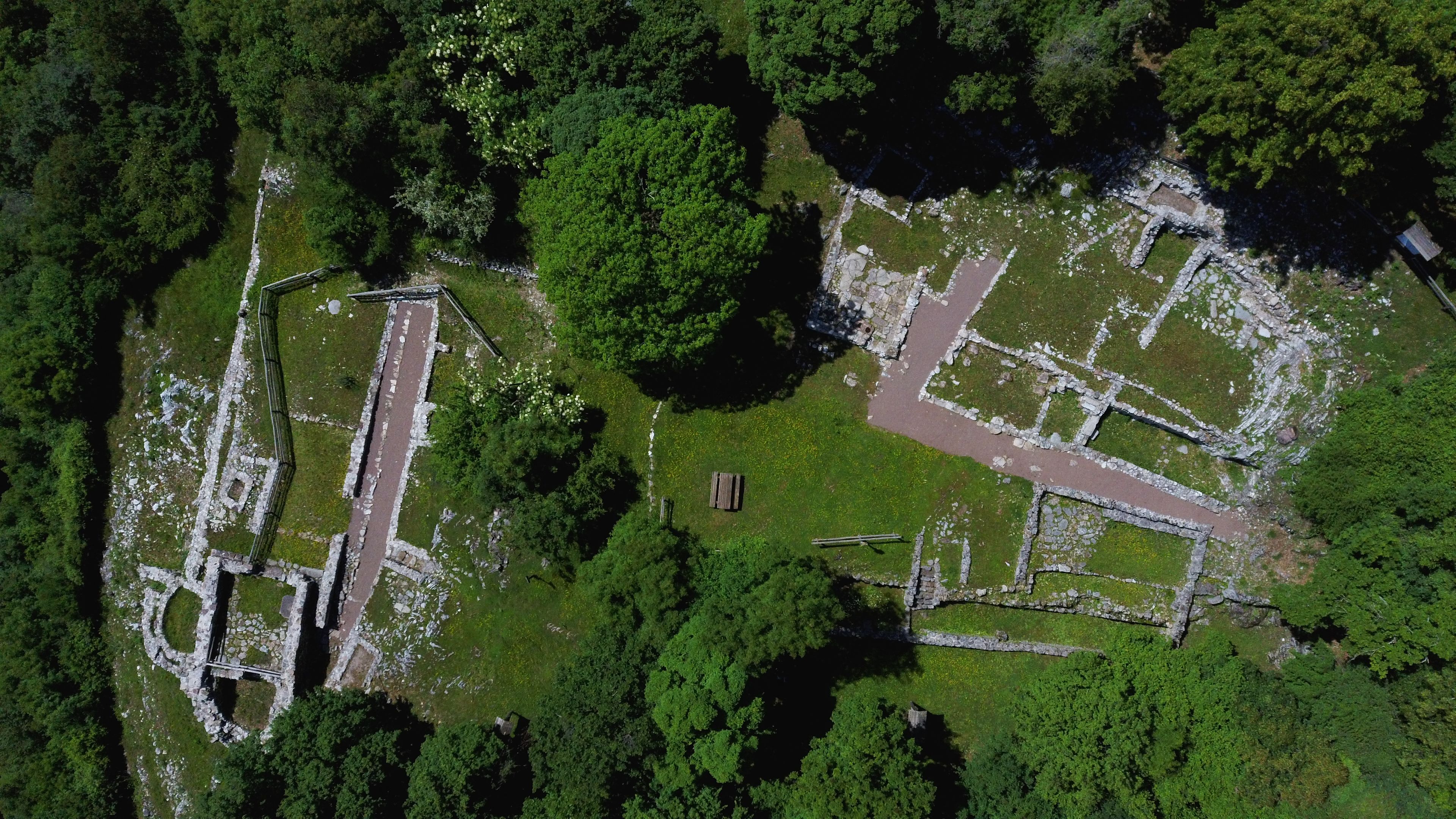
Here’s the jolt – at its height, Cahokia’s population reached into the tens of thousands, likely rivaling the size of many European cities around the same time. Its footprint sprawled across miles of bottomland, stitched together by causeways, plazas, and neighborhoods arranged with a planner’s eye. I still remember my first climb up a mound’s flank and the shock of seeing how the land flattens out into a deliberate stage, as if the city had been poured into a mold.
The layout wasn’t random; avenues and monuments were aligned to the cardinal directions, anchoring sacred and civic life to the movements of sun and seasons. That sense of order suggests a political project as much as a spiritual one – a statement that this landscape had been claimed and designed. Once you see those patterns, it’s hard to shake the feeling that Cahokia rewrote what “urban” meant in the pre‑industrial world.
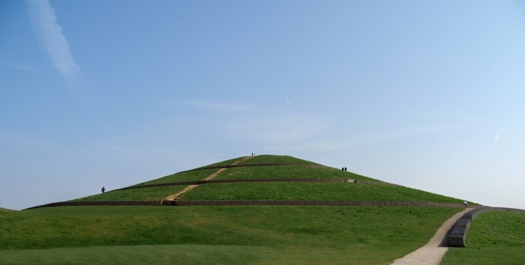
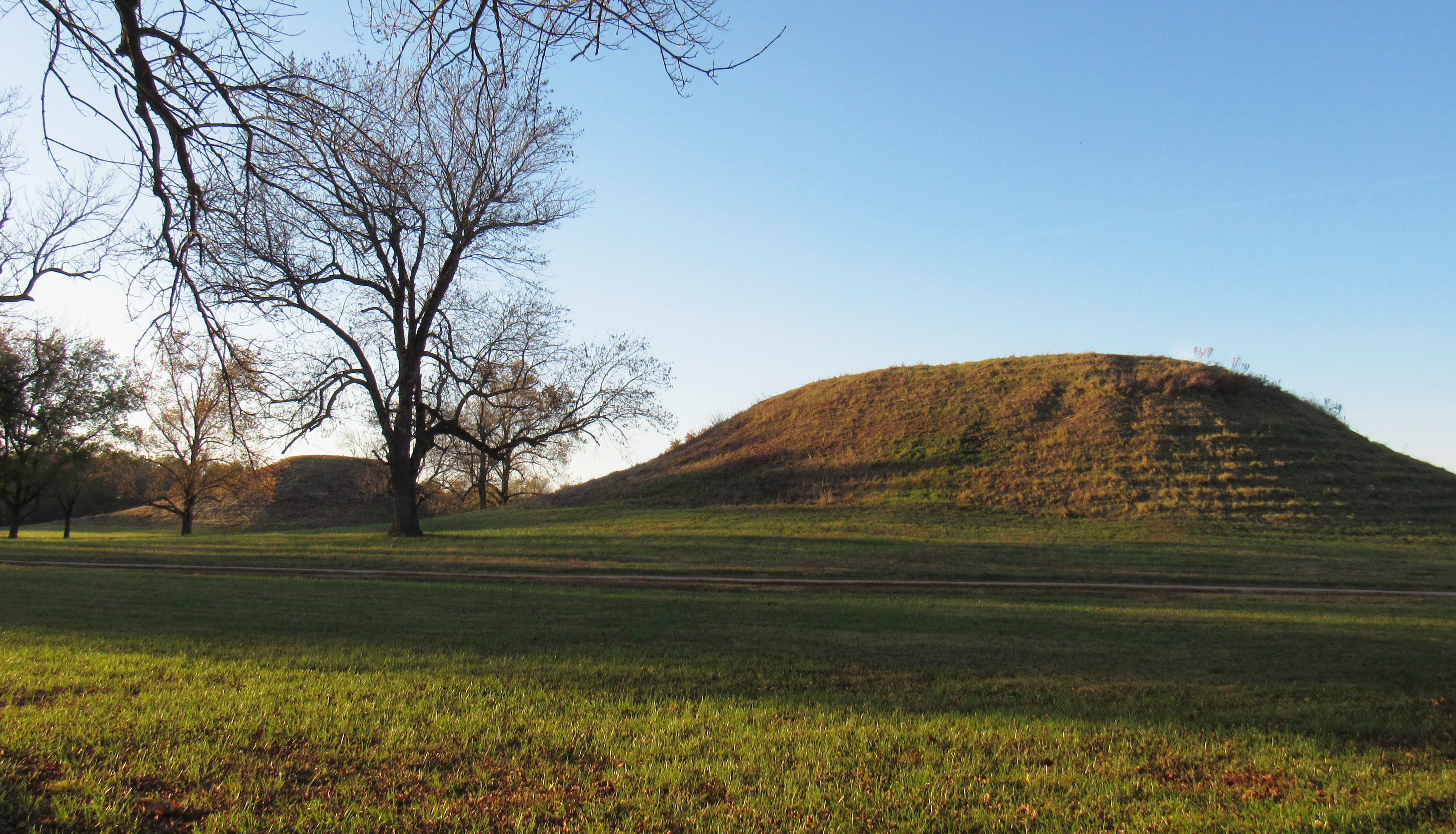
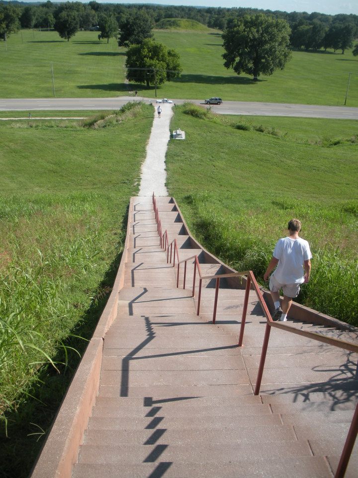
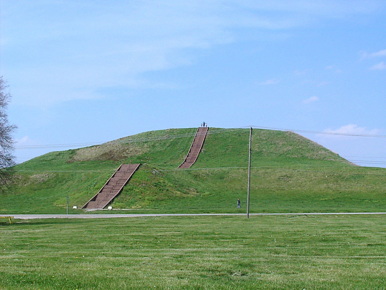
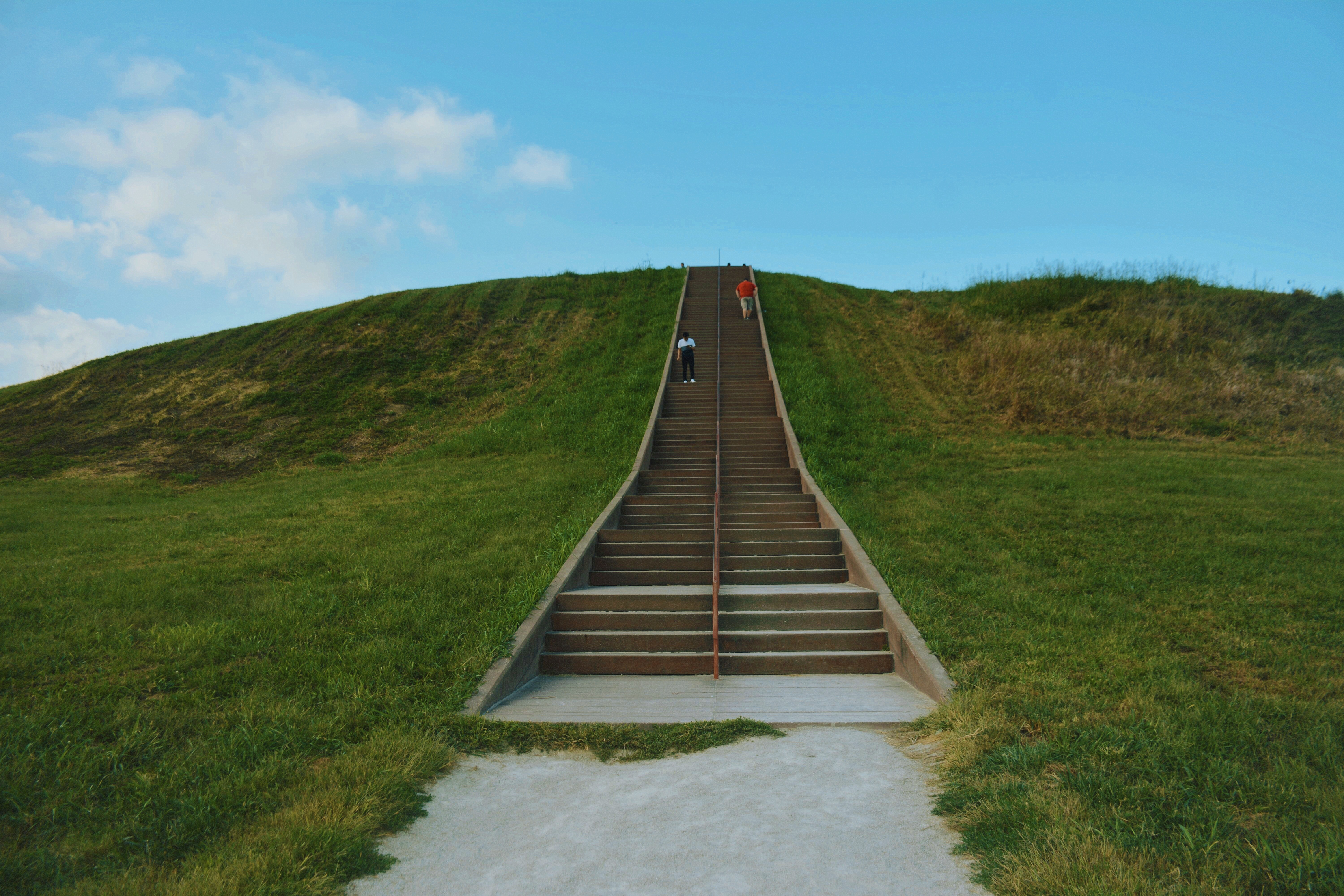
Monks Mound: The Largest Earthen Monument North of Mexico
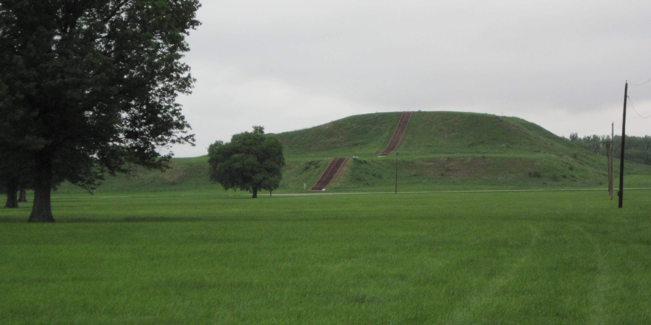
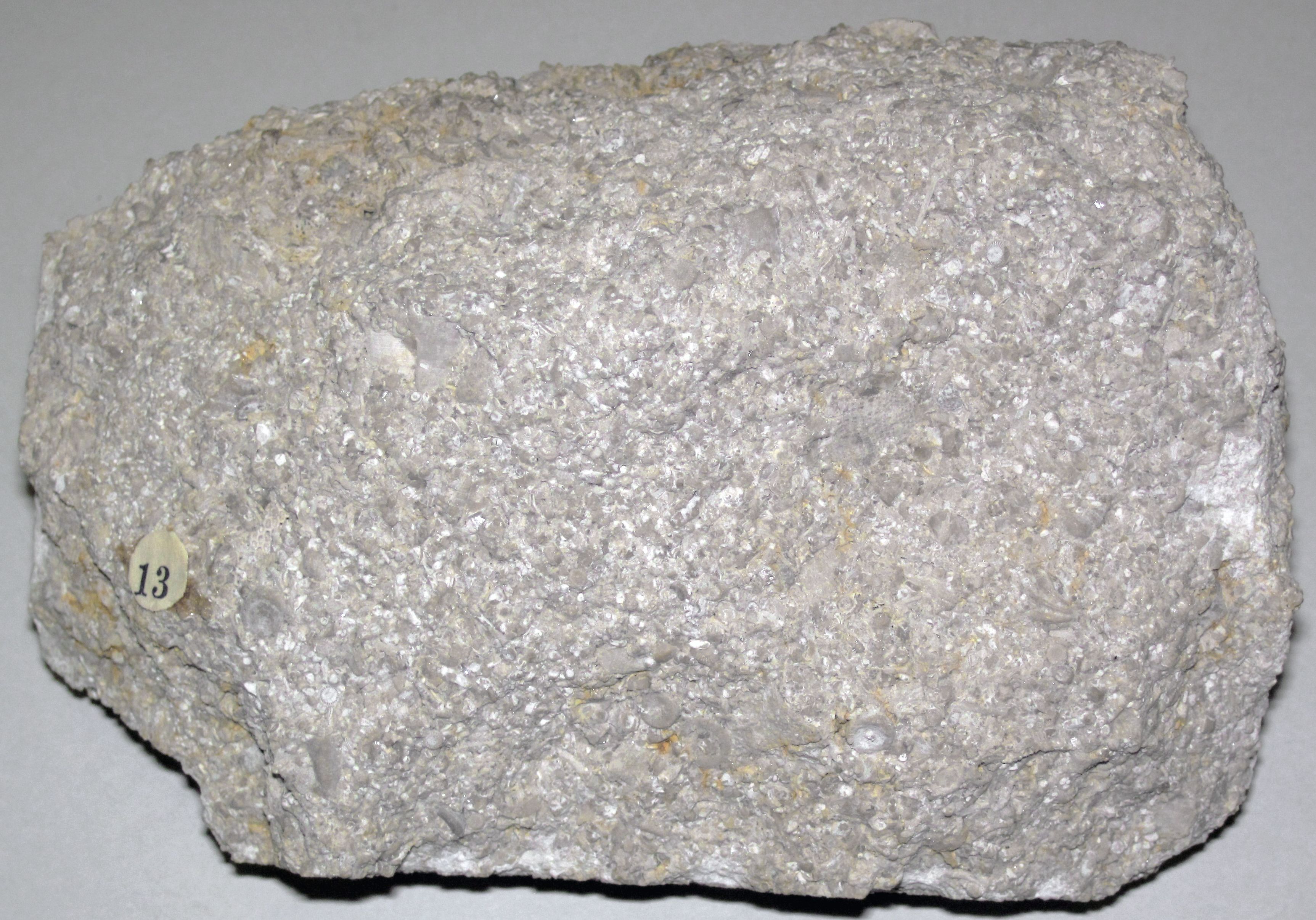
Monks Mound is the calm giant of the site, a terraced pyramid of packed earth rising higher than a ten‑story building. Engineers moved millions of baskets of soil to build it, layering different clays and sands to keep the structure stable in soggy ground. The summit likely hosted a grand building – a political or ceremonial seat – that looked over a vast plaza like a balcony over a town square.
What’s striking is the precision: builders leveled and re‑leveled surfaces, correcting slumps and adding buttresses in successive construction episodes. It wasn’t a single project but a century‑spanning conversation between people, soil, and water. Standing on top today, the view sweeps across other mounds that seem to rise like sentences in the same paragraph.
Woodhenge: Sunrise Alignments and Civic Timekeeping

To the west of the main precinct, archaeologists uncovered rings of large cedar posts – nicknamed Woodhenge – that line up with solstices and equinoxes. These were not mere calendars; they were clocktowers you could walk inside, where sky events became public ceremonies. Imagine dawn gatherings as the sun pierced a specific post gap, turning celestial mechanics into civic choreography.
The circles were rebuilt multiple times, with post positions fine‑tuned across generations. That persistence signals something deeper than spectacle: a way to synchronize farming, festivals, and political authority. In a city woven from earth and wood, time itself became architecture.
Farms, Fish, and Floodplains: How Cahokia Fed an Urban Population
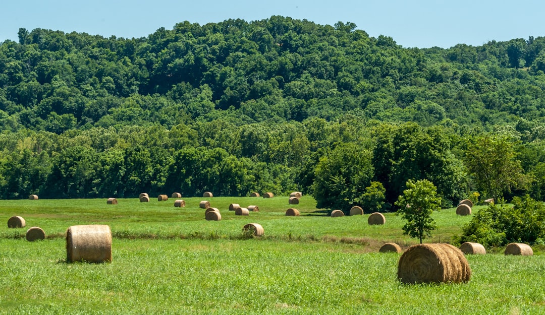
Urban life demands calories, and Cahokia met that demand with a three‑part strategy – maize agriculture, intensive use of wetlands, and stored surplus. Fields on higher terraces produced maize, beans, and squash, while lowlands teemed with fish, waterfowl, and edible plants. The river network was a living pantry, and residents knew precisely when each shelf was stocked.
Storage pits and granaries buffered lean seasons, smoothing the swings of flood and drought. Soil studies show repeated episodes of field renewal, evidence that people managed fertility with ash, compost, and rotation. The result was a resilient food web that kept plazas full and craftsmen at work even when weather turned fickle.
Global Perspectives: Trade Without Wheels, Writing, or Beasts of Burden
Artifacts from Cahokia tell of trade routes stretching from the Great Lakes to the Gulf Coast and beyond. Copper sheets, marine shells, mica, and rare stones traveled in human hands and canoe hulls, stitched together by trust, ceremony, and obligation. In return, Cahokia sent out ideas, styles, and status goods that turned up in far‑flung towns.
What’s remarkable is how far a network can reach without draft animals or roads paved in stone. Exchange here was social as much as economic – bundled with marriages, alliances, and ritual gatherings. The effect rippled outward, shaping a continental conversation long before a single alphabetic letter arrived.
From Ancient Tools to Modern Science: What LiDAR and Isotopes Reveal
Recent LiDAR surveys – laser mapping from the air – have peeled back vegetation to reveal buried ditches, house rows, and outlying mounds. Patterns that once looked like uneven pasture now resolve into neighborhoods and engineered drainage. The city’s planned grid and the reach of its palisade pop into view as if someone turned on a backlight.
Meanwhile, isotopes in tooth enamel and bone trace where people spent their childhoods, showing that many residents were migrants. Sediment cores capture pollen shifts and flood pulses in calendar‑like layers, tying civic booms to environmental rhythms. Together, these tools make Cahokia legible in a way spades alone never could.
Games and Governance: Chunkey Stones, Palisades, and Power
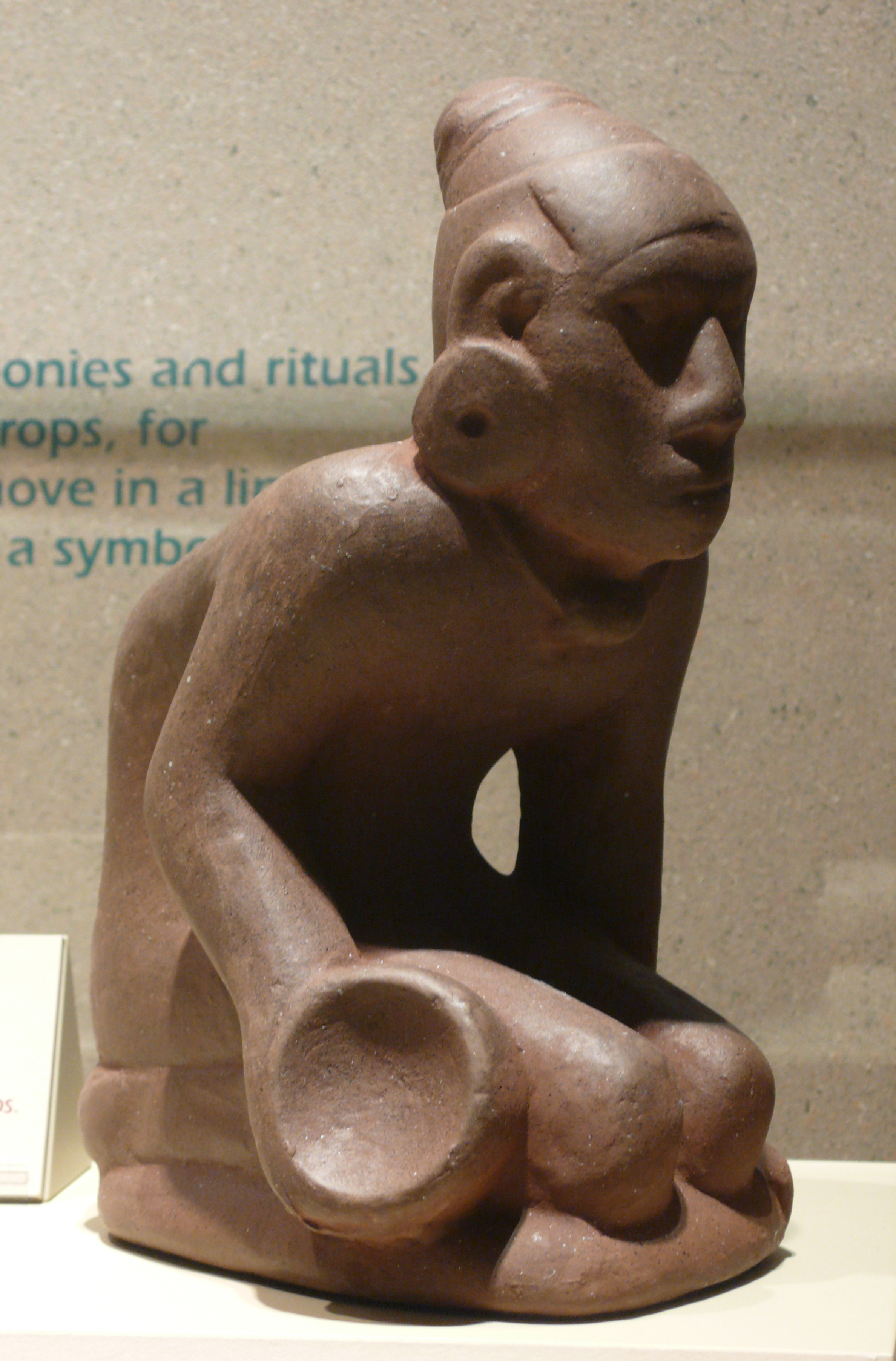
A polished stone disk called a chunkey stone looks simple, but the game it anchored was anything but trivial. Public matches drew crowds and wagers, and their symbolism likely flowed into diplomacy, status, and conflict resolution. The spectacle bound neighborhoods and leaders together, turning sport into soft power.
Power also took a harder edge: a massive wooden palisade encircled the central district and was rebuilt repeatedly. Construction on that scale signals organized labor and a leadership able to marshal it – whether for defense, display, or both. Mortuary finds, including elite burials and elaborate offerings, add another layer to the city’s political script.
Why It Matters: Rewriting the Story of American Cities
For too long, popular histories sketched North America as sparsely peopled wilderness until the colonial era. Cahokia shatters that myth by showing an Indigenous city that governed, farmed, engineered, and innovated at scale. It forces us to swap a narrative of absence for one of presence and creativity.
This matters now because urban challenges – food security, flood control, social cohesion – are not new problems. Cahokia’s solutions, from seasonal calendars to wetland harvesting, map onto conversations we’re having about climate resilience and green infrastructure. When we widen the lens, we see American city‑making is older, more diverse, and more instructive than the standard timeline admits.
The Future Landscape: Tech, Challenges, and Shared Stewardship
New technologies are poised to change the picture again: drone‑based magnetometry, ground‑penetrating radar, and refined radiocarbon methods will sketch empty spaces as confidently as standing earthworks. DNA and proteomic work, undertaken with care and community consent, can illuminate diet and disease without disturbing graves. High‑resolution flood modeling may even reconstruct how specific storms pushed neighborhoods to move or adapt.
The challenge is balancing discovery with respect – these are not just archaeological puzzles but ancestral places. Collaborations with descendant communities are increasingly shaping research questions, site interpretation, and curation. That shared stewardship is the best guarantee that future insights won’t come at the cost of the living legacy.
Conclusion: How to Engage with Cahokia’s Living Legacy
Start by learning the landscape – visit the site museum, walk the Grand Plaza, and let the geometry tell its story. Support organizations that conserve mound complexes across the Midwest and Southeast, because Cahokia was part of a wider world of earthwork cities. If you teach, weave Cahokia into lessons about urbanism, climate, or engineering so the next generation sees American history as bigger than any single narrative.
Advocate for preservation when development threatens archaeological layers in your community; even a backyard drainage project can reveal fragile history. And wherever you are, consider how your city manages water, food, and public space – then ask what Cahokia would recognize and what it would warn us about. The past is not silent if we choose to listen – what will you hear first?

Suhail Ahmed is a passionate digital professional and nature enthusiast with over 8 years of experience in content strategy, SEO, web development, and digital operations. Alongside his freelance journey, Suhail actively contributes to nature and wildlife platforms like Discover Wildlife, where he channels his curiosity for the planet into engaging, educational storytelling.
With a strong background in managing digital ecosystems — from ecommerce stores and WordPress websites to social media and automation — Suhail merges technical precision with creative insight. His content reflects a rare balance: SEO-friendly yet deeply human, data-informed yet emotionally resonant.
Driven by a love for discovery and storytelling, Suhail believes in using digital platforms to amplify causes that matter — especially those protecting Earth’s biodiversity and inspiring sustainable living. Whether he’s managing online projects or crafting wildlife content, his goal remains the same: to inform, inspire, and leave a positive digital footprint.