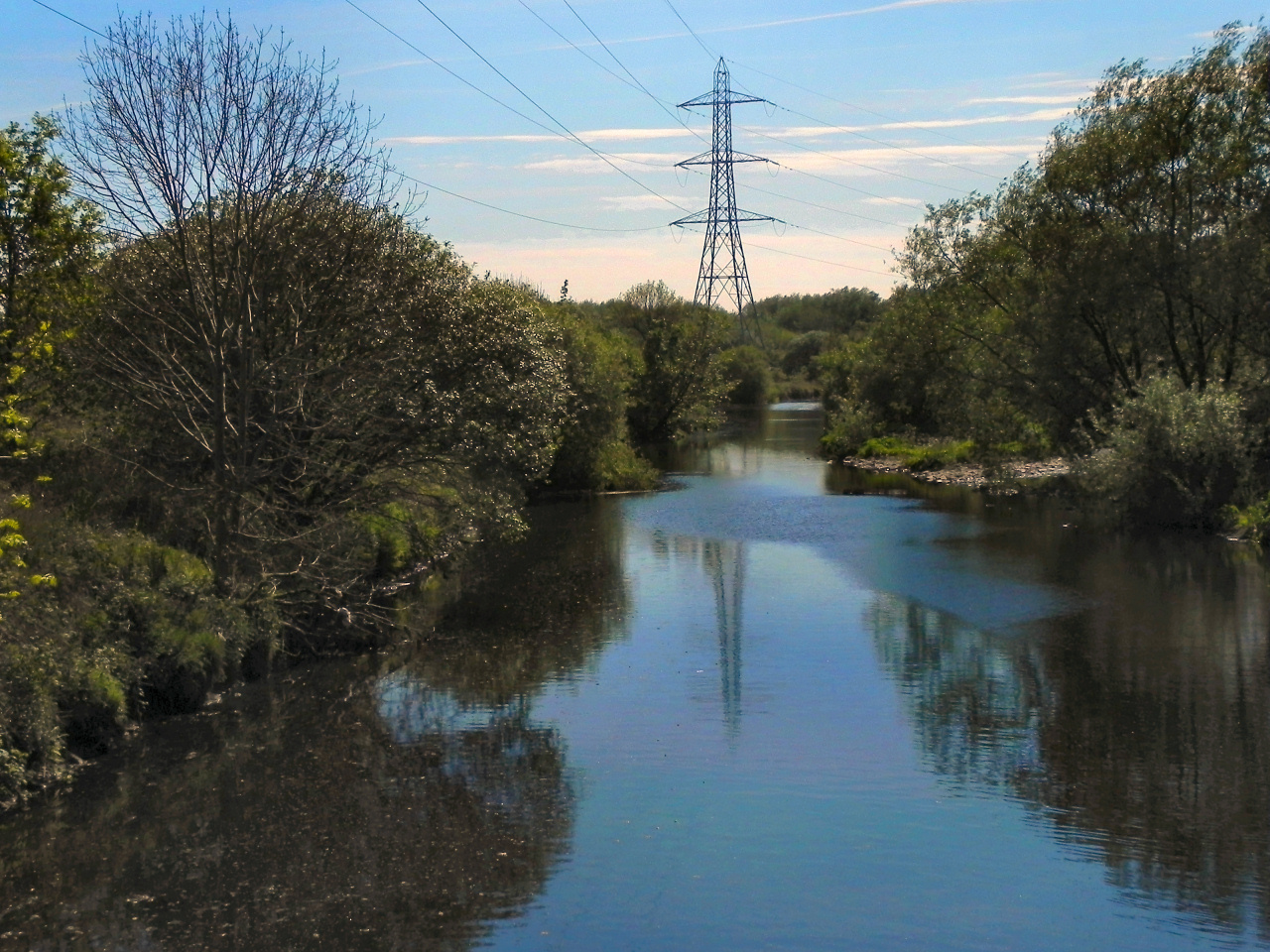
Los Angeles is famous for a river you can drive past without noticing: a concrete channel braided through freeways and sound walls, more artifact than waterway. But dig a little deeper – literally – and another city appears, etched by buried streams that once braided across alluvial fans and coastal wetlands. Hydrologists are now tracing these hidden paths with tools that read the ground the way doctors read an MRI, revealing freshwater corridors sleeping under asphalt. The picture that’s emerging is not nostalgia for a vanished landscape; it’s a working blueprint for a hotter, stormier century. I walked a block in Mid-City recently after a heavy rain and felt it – curbside puddles and a faint hollow rumble – like the city whispering where water wants to go.
The Hidden Clues
What if the city you know is built on a ghost network of creeks, marsh edges, and fans that still steer water, silently, beneath your feet? The clues are everywhere once you know how to look: streets that inexplicably dip, soils that stay damp after sun, and tree lines that thrive without much irrigation. Hydrologists call these hints geomorphic memory, the tendency of landscapes to keep behaving like their former selves even after we pave them over. In Los Angeles, that memory lives in paleochannels etched into the basin’s gravelly underbelly and in the bones of the LA River’s tributaries, from the Arroyo Seco to Ballona Creek.
Old survey notebooks, Tongva place names that reference springs, and yellowing insurance maps add human fingerprints to the puzzle. On some blocks, the historical record lines up so neatly with subtle topography that it feels like tracing veins on the back of a hand: once you see them, you can’t unsee them.
From Ancient Tools to Modern Science
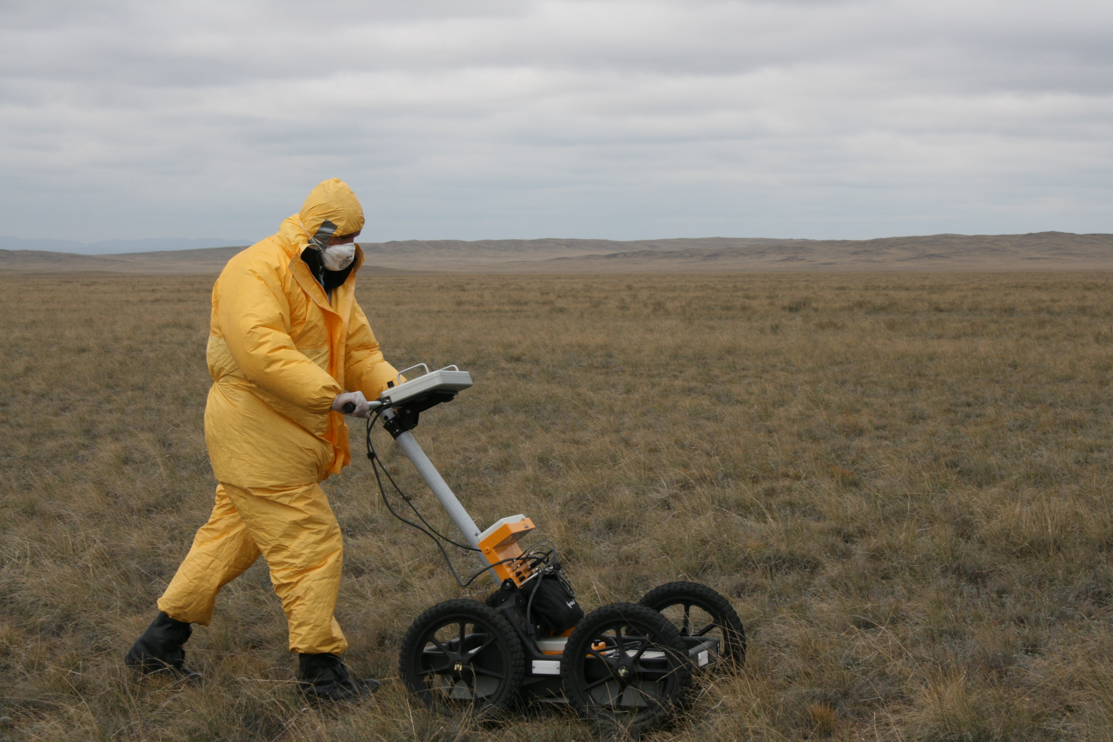
Centuries ago, people read water by taste, smell, and sound; today, teams read it with ground‑penetrating radar, electrical resistivity tomography, and seismic refraction. These methods send energy into the subsurface and listen for the echoes of saturated sands and buried gravels – the preferred beds of ancient streams. Aerial laser mapping and satellite interferometry add a bird’s‑eye view, catching tiny changes in elevation and soil moisture after storms. The data stack is layered like a parfait: historical maps and ditch records at the bottom, field cores and isotopes in the middle, and real‑time sensors on top.
When those layers agree, channels light up as narrow corridors of high permeability, like secret hallways under the city. I’m partial to the thrill of a well log aligning with a radar line – two independent voices telling the same story about where water once flowed and may flow again.
The Map Beneath the Map
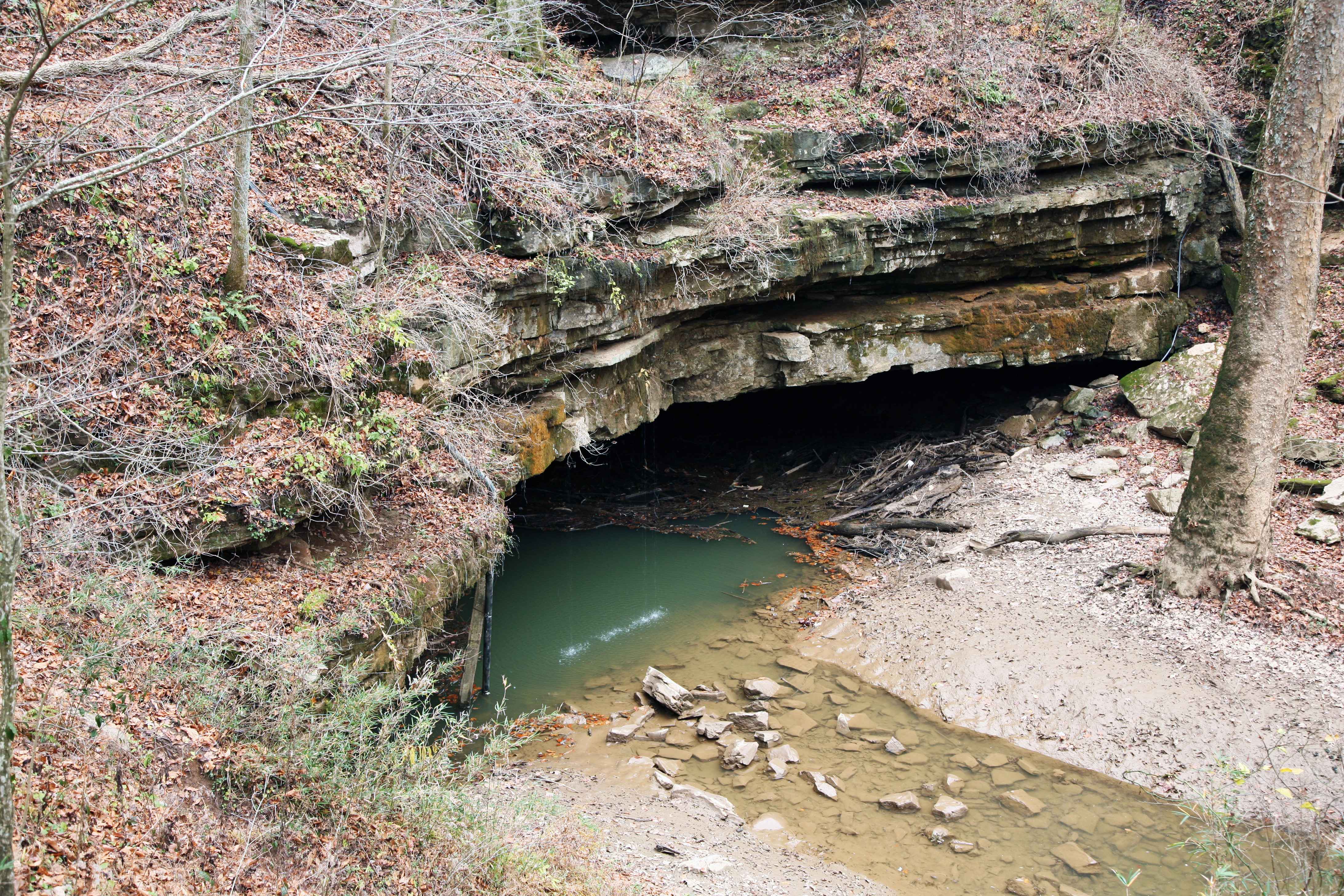
Think of Los Angeles as two maps superimposed: the official grid of parcels and pipes, and the older map of geologic intent. The new reconstructions sketch out corridors arcing from the San Gabriel Mountains and the Santa Monica highlands toward the coastal plain, curving and splitting as fans do. Some paths intersect modern storm drains; others slip under boulevards and reappear as stubborn wet patches in park lawns. This is not a tidy subway diagram; it’s a braided rope, with threads thickening where the valley once slowed and dropped its sediments.
These corridors matter because they still behave like express lanes for water. In a dry year, they can move groundwater efficiently; in a wet year, they can funnel runoff fast enough to surprise neighborhoods that thought the past was over. The map beneath the map explains both scenarios.
Why It Matters
Urban water planning often treats land as uniform, but it never is. Traditional models spread rainfall evenly across a catchment and send it to drains, yet a basin shaped by ancient channels catches and moves water unevenly, sometimes dramatically so. That mismatch can fuel street flooding during intense storms and waste precious infiltration during quieter rains. By restoring the subsurface reality to planning models, engineers can re‑site rain gardens, reshape detention basins, and time releases from spreading grounds to match the actual permeability of buried riverbeds.
The payoff travels in both directions: fewer flood claims for residents and more groundwater recharge for a city that spends heavily to import water from far away. Put simply, the lost rivers are not sentimental features; they’re operational infrastructure we forgot we had.
Living With Water Again
Rediscovering buried channels doesn’t mean tearing up half the city; it means letting design work with what’s there. Along identified corridors, bioswales can be deepened rather than widened, curb cuts can be placed where the ground will actually drink, and pocket parks can double as storm sinks without turning into ponds for days. Where paleochannels cross transit rights‑of‑way, modular infiltration galleries can slip under tracks and parking lanes, quietly banked for dry months. Neighborhoods that used to shrug at street flooding may find relief from small moves aligned with those old paths.
Daylighting is the dream in a few spots – pulling a short reach of stream back into the sun – but the real revolution is less photogenic. It’s an adjustment of angles and textures, a fabric woven to catch water where the ground says yes. That’s how you make resilience feel ordinary, not heroic.
The Future Landscape
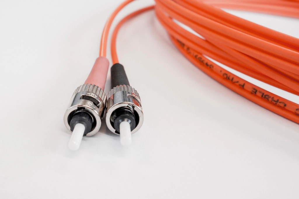
The next wave of tools will make the hidden map dynamic instead of static. Fiber‑optic cables can sense tiny temperature shifts that reveal moving water, effectively turning utility corridors into long, skinny groundwater observatories. Low‑cost sensor nodes, powered by the sun, can track soil moisture and conductivity block by block, updating models after every storm. Machine‑learning methods, fed with decades of storm records and new radar lines, can forecast which paleochannels will switch on during an atmospheric river and which will stay quiet.
There are hurdles: data privacy for sensor networks, the cost of subsurface surveys in busy streets, and the bureaucratic tangle of agencies that manage water, roads, and parks. But the path forward is clearer than it was even a few years ago. If Los Angeles leans in, these buried rivers could anchor a climate‑ready city that captures more water at home and shrugs off the kind of fast, messy storms that once sent it scrambling.
Global Perspectives
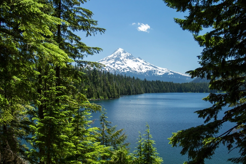
Los Angeles is not alone in living over ghost waterways. Mexico City, London, Seoul, and Auckland have all wrestled with buried streams that complicate flooding and open surprising recharge opportunities. The science travels well because the physics of water moving through sand and gravel doesn’t care about city limits. Places that mapped their paleochannels have learned to place green infrastructure where it matters and to stop fighting the stubborn spots where water collects as if on muscle memory.
Here in Southern California, that lesson is amplified by a Mediterranean climate swinging between drought and deluge. The hidden map turns those swings into chances – to store more in the ground in wet years and rely less on distant rivers in dry ones. In a warming world, that flexibility is priceless.
How You Can Help
Start by noticing: after a rain, watch where water lingers and where it vanishes fast, then share those observations with local watershed groups and city reporting apps. Support projects that add shade trees, permeable sidewalks, and curbside gardens, especially along streets identified for stormwater capture. If you own or rent a home, swap a slice of hardscape for a small infiltration bed; the city’s incentive programs change often, but the physics stays the same. In schools and community centers, push for curriculum and field days that teach kids to read the ground – this is a civic skill, not a niche hobby.
When bond measures for climate and water upgrades appear on the ballot, read the fine print for investments in nature‑based solutions aligned with subsurface science. The more the public asks for designs that follow the buried map, the more routine – less exceptional – good water management becomes.
Conclusion
The discovery here is not that Los Angeles once had more rivers; everyone who looks at old maps knows that. The discovery is that those rivers never truly left, and that their quiet guidance can turn a sprawling metropolis into a smarter watershed. I think about that Mid‑City puddle a lot now; it wasn’t a nuisance, it was a note from the ground. In an era of stubborn heat and sudden storms, listening to such notes is not optional.
We paved over the handwriting of water; science is helping us read it again. What will you notice the next time it rains?

Suhail Ahmed is a passionate digital professional and nature enthusiast with over 8 years of experience in content strategy, SEO, web development, and digital operations. Alongside his freelance journey, Suhail actively contributes to nature and wildlife platforms like Discover Wildlife, where he channels his curiosity for the planet into engaging, educational storytelling.
With a strong background in managing digital ecosystems — from ecommerce stores and WordPress websites to social media and automation — Suhail merges technical precision with creative insight. His content reflects a rare balance: SEO-friendly yet deeply human, data-informed yet emotionally resonant.
Driven by a love for discovery and storytelling, Suhail believes in using digital platforms to amplify causes that matter — especially those protecting Earth’s biodiversity and inspiring sustainable living. Whether he’s managing online projects or crafting wildlife content, his goal remains the same: to inform, inspire, and leave a positive digital footprint.