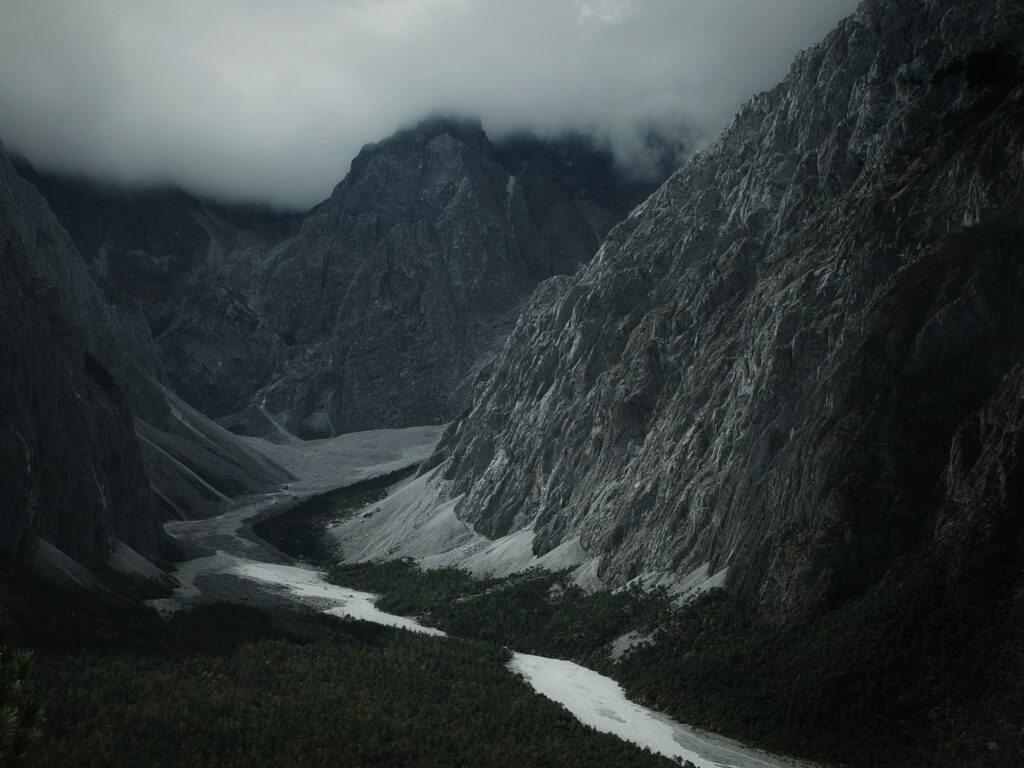
Most of us picture valleys as the slow, graceful work of rivers nibbling away at rock over millions of years. That story is true in many places, but in a surprising number of landscapes, the real sculptors were not gentle streams but brutal, short‑lived megafloods that ripped the ground apart in days or weeks. Once you know what to look for, some of the world’s most dramatic valleys start to read less like quiet geological diaries and more like crime scenes after a planetary‑scale disaster.
In recent decades, geologists have been quietly rewriting the history of these places, using satellite images, fieldwork, and a lot of detective work to show that ordinary rivers simply could not have done the job. The result is a humbling picture: Earth’s surface can flip from calm to catastrophic far faster than we like to imagine, and the scars of those events are still hiding in plain sight. Let’s walk through eight remarkable valleys where the evidence points not to patient rivers, but to sudden, roaring walls of water.
The Channeled Scablands, Washington (USA)
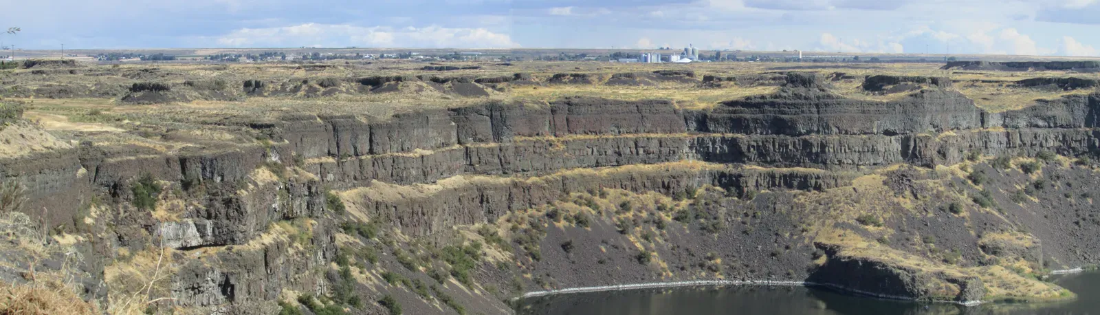
If you want a poster child for catastrophic flooding, the Channeled Scablands in eastern Washington are it. At first glance, the region looks wrong: cliffs cut into basalt, dry channels as wide as major river valleys, and huge isolated hills called scabland islands marooned in broad, empty rock basins. For a long time, geologists tried to force this into the slow‑river story, but nothing about the scale made sense for the modest modern rivers trickling through today.
The breakthrough came when researchers realized these features match what you’d expect from ice‑age megafloods released when glacial lakes to the northeast suddenly drained. Imagine a dam of ice failing and entire inland seas pouring out in waves of water hundreds of feet deep, roaring at highway speeds and tearing solid rock apart like cardboard. The flows carved gigantic dry falls, stripped soil down to bare basalt, and left behind fields of boulders that no ordinary flood, let alone a typical river, could have moved. Today, when you stand at places like Dry Falls, you’re basically standing at ground zero of one of the most violent water events ever recorded on land.
Grand Coulee, Washington (USA)
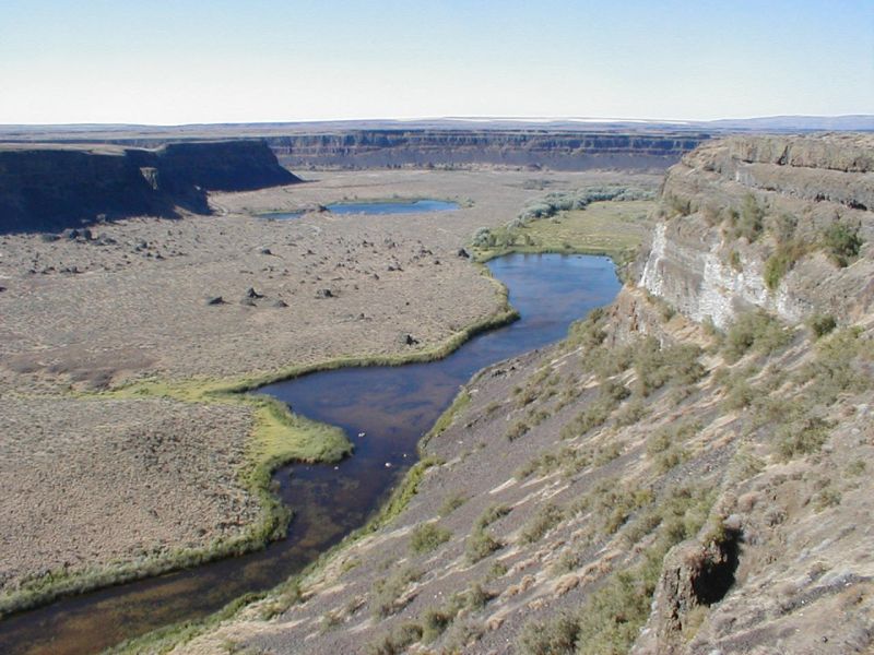
Grand Coulee looks every bit like a classic river canyon until you notice something awkward: there is no big river flowing through it anymore. Instead, a relatively small stream occupies a valley so oversize that it almost feels like a joke, with steep basalt cliffs and a floor far wider than the present drainage needs. This mismatch is a big red flag in geomorphology and one of the key clues that ordinary river erosion is not the main story here.
Evidence now points to the same ice‑age flood system that devastated the Channeled Scablands. When glacial lakes to the east and north catastrophically drained, water poured over the landscape, temporarily diverting huge volumes through what is now Grand Coulee. In a very short geological time, these raging floods plucked out massive columns of basalt, carved plunge pools, and left behind a valley far too big for its modern stream. The ordinary river we see today is more of a squatter, quietly reusing a mansion that violent megafloods built and then abruptly abandoned.
Hells Canyon, Oregon–Idaho Border (USA)
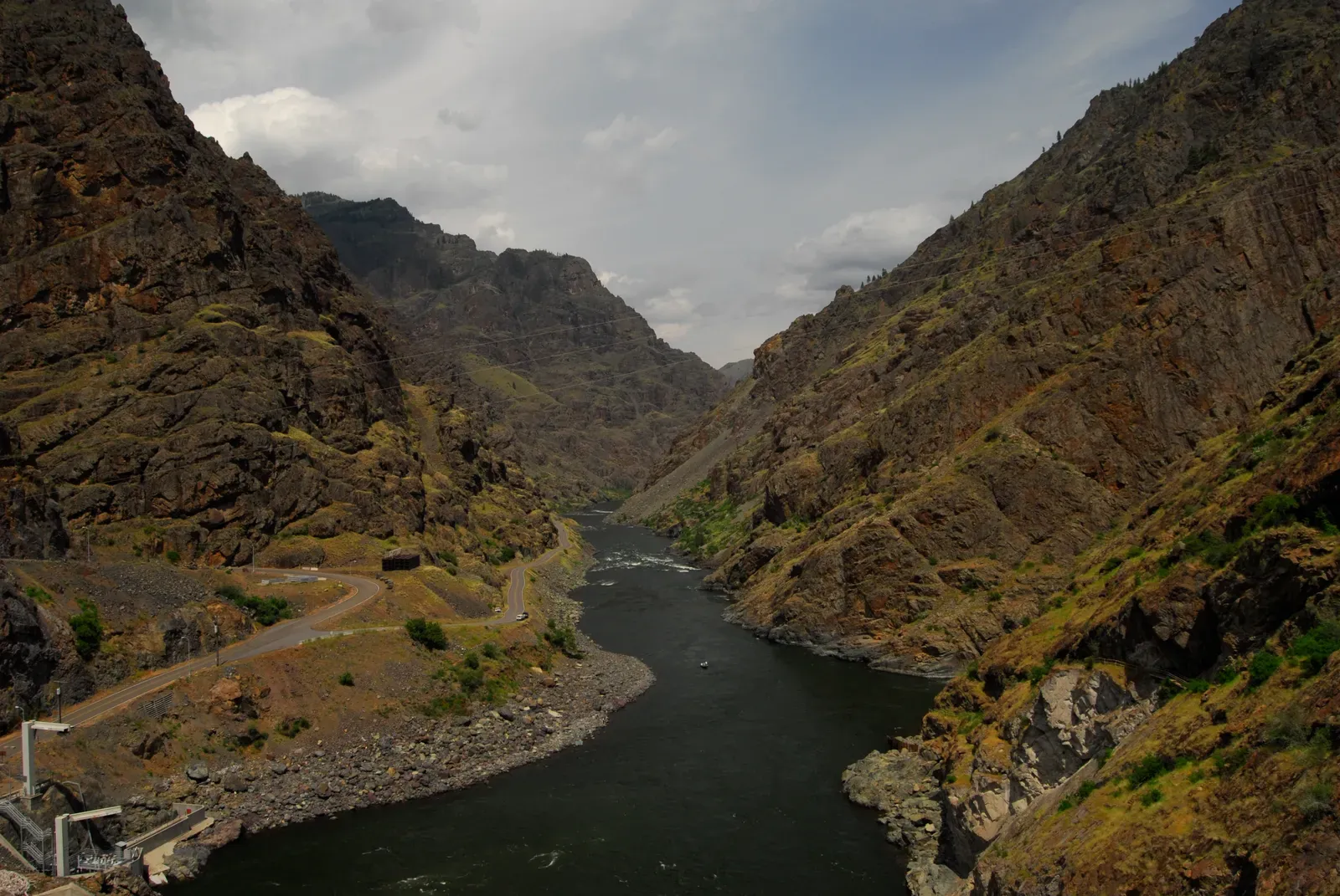
Hells Canyon is famous as one of North America’s deepest river gorges, with the Snake River slicing between Oregon and Idaho. For years, the default assumption was that the river simply cut its way down slowly over tens of millions of years. But when you dig into the geometry of the canyon, the steepness of its walls, and the contrast between the modest modern flow and the size of the valley, a more complicated picture shows up, one that includes intense flood episodes layered on top of long‑term erosion.
Geologists studying terrace levels, boulder deposits, and the shape of side canyons have argued that glacial outburst floods from upstream basins likely surged through at key moments. These were not constant events, but pulses of water far greater than anything seen historically, overwhelming the usual fluvial processes. In other words, Hells Canyon was not carved only by the steady work of the Snake River but also by occasional, extreme floods that supercharged the downcutting and widened the valley in short, violent bursts.
Spokane River Valley, Washington–Idaho (USA)
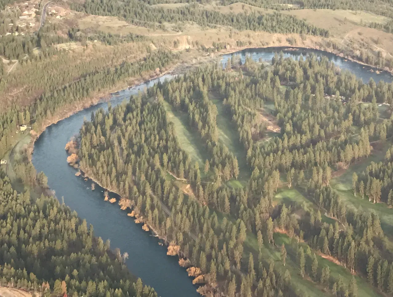
The Spokane River Valley today feels fairly tame: a mid‑sized river, a modern city, lakes and wetlands strung along its path. Yet the landforms around it tell a louder story. There are giant gravel bars, streamlined hills, and abandoned channels perched high above the current water level, all hinting that today’s river is a mild afterthought inheriting a valley built during a very different time.
During the last ice age, massive glacial lakes in what is now Montana repeatedly burst through their ice dams, triggering truly staggering floods that swept westward. As those waves of water flowed through the Spokane region, they widened and deepened the valley, stacking huge sheets of sediment and carving spillways that no ordinary river could maintain. The modern Spokane River just threads its way through this overbuilt landscape, like a thin ribbon laid inside the footprint of an old freight train.
Palo Duro Canyon, Texas (USA)
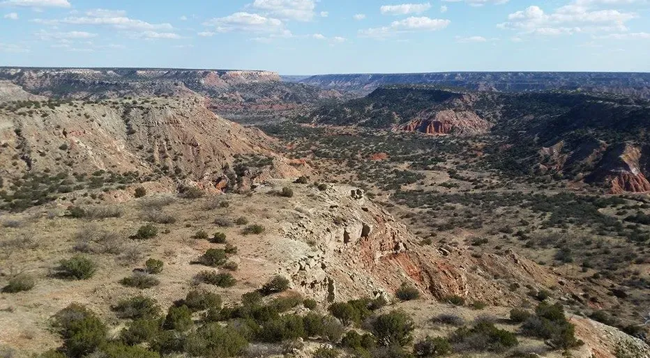
Palo Duro Canyon is sometimes called the Grand Canyon of Texas, and when you first see its colorful cliffs and branching side canyons, it is easy to imagine a single river doing the slow carving. But the size of the canyon compared to the modest Prairie Dog Town Fork of the Red River, especially in its upper reaches, has raised eyebrows among geologists. There are signs that water volumes in the past occasionally jumped far beyond anything that flows there today.
During wetter climatic pulses and episodes of rapid runoff, especially when ancient plains to the west and north shed huge amounts of water, the system likely experienced short‑lived but intense floods. These torrents would have scoured softer sedimentary layers, widened the canyon, and undercut cliffs much faster than everyday flows could manage. While long‑term river erosion definitely played a role, the dramatic scale and steepness of Palo Duro point to a history studded with catastrophic high‑water events, rather than just quiet, unbroken patience.
Loire Valley Megaflood Channels, Central France
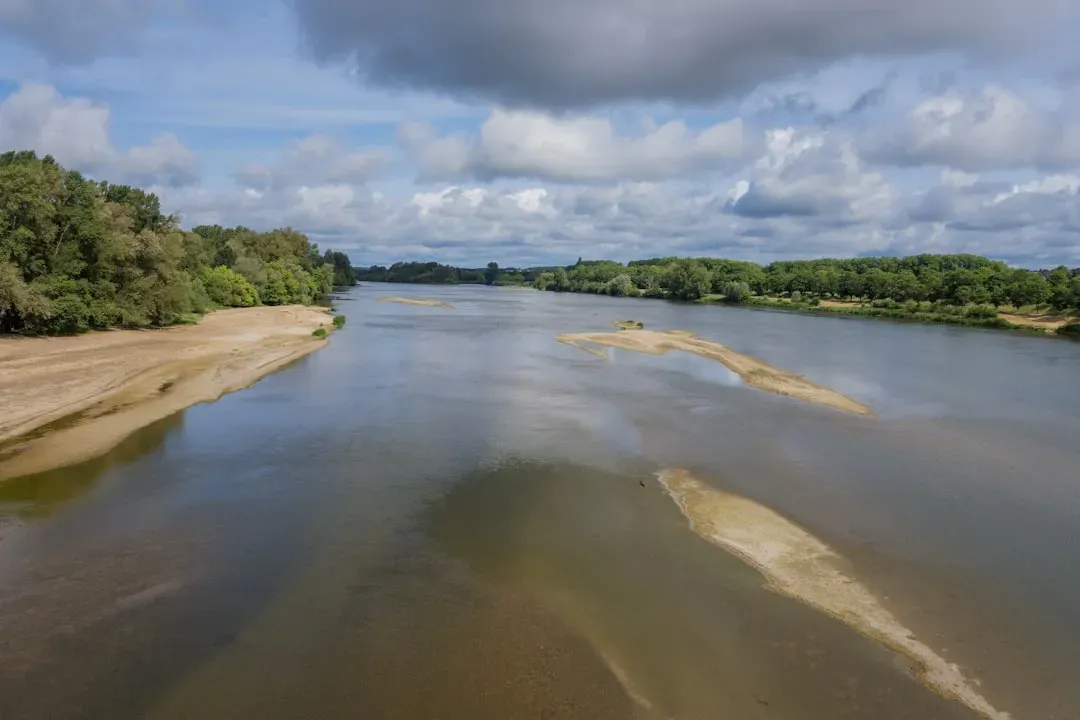
The Loire Valley is usually framed in terms of castles, vineyards, and gentle river scenery, not violent floods. Yet in the broader Loire basin and some tributary areas, researchers have identified oversized dry channels, abrupt valley walls, and remnants of ancient terrace surfaces that appear out of proportion with the modern river regime. These clues suggest that, in the deep past, the drainage network did not always behave as leisurely as it does now.
During periods of rapid climate change, intense rainfall and sudden snowmelt can push river systems into extreme modes. In parts of the Loire system, stratigraphic records show thick layers of coarse sediment and boulder gravels that point to short, brutal pulses of flow, likely linked to palaeofloods associated with glacial or periglacial conditions upstream. The picturesque modern river, winding between vineyards, is essentially a calm remnant inhabiting valleys that, at key moments, were ripped open and reshaped by water volumes that dwarf anything seen in human history in that region.
Ancient Megaflood Valleys of the English Channel
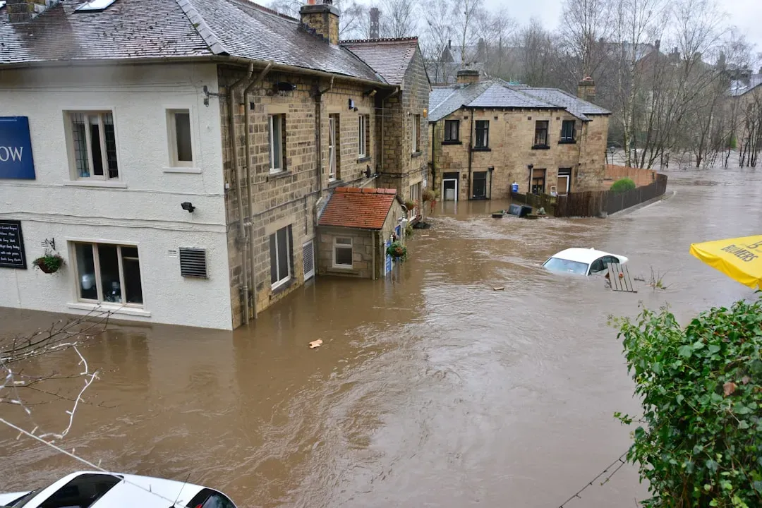
The English Channel looks like a straightforward drowned seaway between Britain and mainland Europe, but the seafloor tells a wilder story. High‑resolution bathymetric mapping has revealed deep, branching channels and scoured landscapes hidden beneath the waves, including a major valley system that connects the southern North Sea to the Atlantic. These features are wildly oversized compared to what simple, long‑term river erosion alone would account for, especially given the relatively modest modern rivers feeding the area.
Geologists now think that, during glacial times, huge proglacial lakes pooled against ice sheets and land barriers where the North Sea sits today. When those barriers failed, catastrophic floods charged through the area that would become the English Channel, carving deep valleys and complex spillways in relatively short bursts. In effect, the channel may have been born in a series of violent events, with megafloods doing the core excavation and later, more ordinary marine and river processes just smoothing and reworking the rough edges.
Mars’ Kasei Valles as an Extraterrestrial Comparison
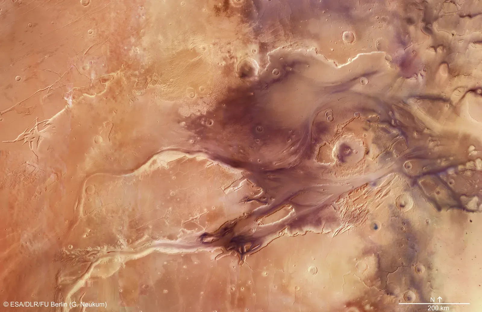
To really appreciate how powerful catastrophic floods can be, you actually have to leave Earth and look at Mars. Kasei Valles, a gigantic valley system on the Martian surface, stretches for thousands of kilometers and dwarfs most terrestrial canyons. There is no way to explain its scale with a gentle, long‑lived river; instead, the landforms show signs of colossal outflow events, where water or water‑rich fluids burst from subsurface reservoirs and tore across the planet’s crust.
Scientists use Kasei Valles as a kind of analog to help interpret megaflood valleys on Earth, because the shapes are similar: streamlined islands, scoured channel floors, and abrupt breaks in slope where water cascaded over cliffs. Even though Mars is dry and cold today, these fossilized drainage systems show that short‑lived but unimaginably intense floods likely dominated its valley‑forming history. When you compare Kasei with places like the Channeled Scablands, it becomes hard to cling to the comforting idea that landscapes always change slowly and politely over time.
Conclusion: Rethinking “Slow and Steady” Landscapes
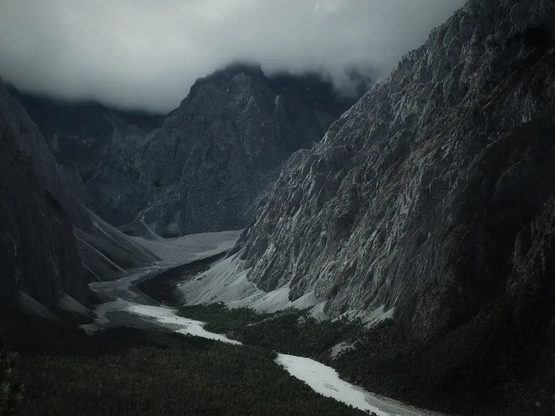
When you line up these valleys side by side, a pattern jumps out: our default story about rivers patiently carving the world, while partly true, is far too tidy. In case after case, the landforms insist on a different script, one where rare but savage floods do an outsized share of the work, and the gentle rivers we see today are more like caretakers than creators. I think that shift in perspective matters, because it forces us to accept that Earth can swing from calm to catastrophic much faster than our human instincts want to admit.
To me, these flood‑carved valleys feel like warnings carved in stone. They tell us that stable landscapes can hide histories of sudden upheaval, and that our sense of what is “normal” is based on a tiny, lucky slice of time. In an era when we are nudging the climate system and watching floods grow more frequent and intense in many regions, that should make us uneasy in a useful way. If enormous, long‑gone lakes and ice dams could rewrite continents in a geological heartbeat, what might today’s extremes be setting up for the future that we are not yet ready to see?