If you grew up thinking hidden rivers belonged only in epic poems and fantasy games, you’re not alone. For a long time, many stories of roaring waters flowing beneath mountains sounded more like legends than geology. Only when explorers, divers, and scientists crawled into the darkness with modern gear did they realize something quietly astonishing: some of those “myths” were undersold.
Today we know of underground rivers so vast they reshape coastlines, feed major springs, and even rival surface rivers in volume. They are difficult to reach, dangerous to map, and easy to dismiss if you have never stood in that blackness and heard a flood thundering past your feet. Let’s walk through seven of the most mind-bending examples where reality finally caught up with the stories.
The Puerto Princesa Underground River, Philippines
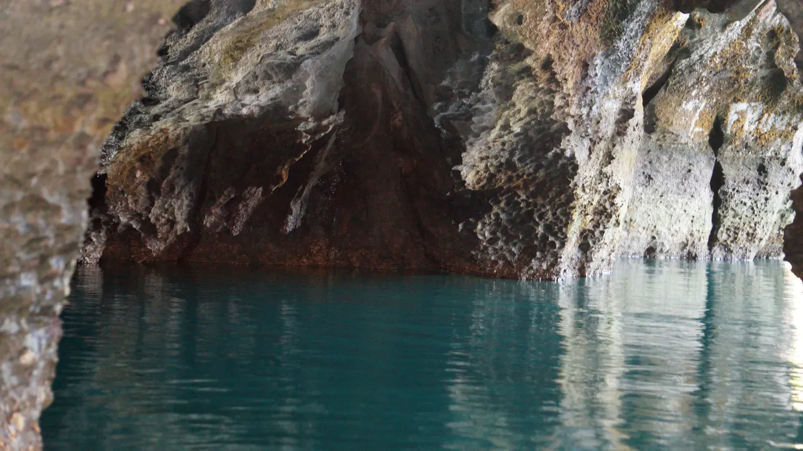
Imagine hearing villagers talk about a river that disappears into a mountain, then reappears at the sea, and assuming it must be an exaggeration. For decades that was the vibe around the Puerto Princesa Underground River on Palawan Island, where local lore described a waterway flowing straight through limestone cliffs before reaching the ocean. When proper surveys began, explorers realized this was not an embellished travel tale but one of the longest known navigable underground rivers on the planet, stretching several kilometers under karst peaks.
What feels especially unreal is that you can literally board a small boat and glide into the mountain as if entering another world, with cathedral-high chambers and stalactites hanging like stone chandeliers above you. From a scientific angle, the river system acts as a powerful drain for rainfall and surface streams, funneling water through soluble rock that has been slowly carved over hundreds of thousands of years. The sheer size of the conduits, the tidal influence near the outlet, and the fact that it was talked about long before it was measured make it a textbook case of a “mythical” river turning out to be very real and very big.
Phong Nha–Ke Bang’s Underground Rivers, Vietnam
![Phong Nha–Ke Bang’s Underground Rivers, Vietnam (By [Tycho] talk , http://shansov.net, CC BY-SA 3.0)](https://nvmwebsites-budwg5g9avh3epea.z03.azurefd.net/dws/9bef127203fe882a947caf69cd83daed.webp)
In central Vietnam, legends of hollow mountains and endless caves used to sound like local flavor added to a dramatic landscape. Then cavers began systematically exploring Phong Nha–Ke Bang, and the map exploded. Beneath the jungle lies a complex of underground rivers so extensive that it feeds enormous passages like those inside Son Doong Cave, which is wide enough in places to fit a city block and tall enough to swallow skyscrapers. The flowing water here is not a trickle but a robust subterranean river system chiseling its way through limestone on a continental scale.
What people once framed in almost mythical terms – mountains that “swallow” rivers and exhale misty winds – now has hard measurements, dye tracing tests, and full-blown expedition logs behind it. The rivers run seasonally high, sometimes dangerously so, with cave divers and explorers timing trips around monsoons because those same currents can quickly turn galleries into death traps. For me, this area perfectly captures how folklore and fieldwork sometimes shake hands: old stories about bottomless holes and roaring underground waters lined up neatly with the shock scientists felt when they finally walked and swam those black corridors.
The Sac Actun System and the “Rivers” of the Yucatán, Mexico
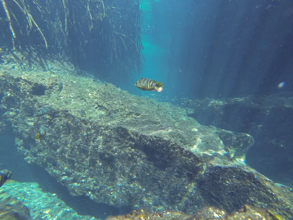
For the Maya, the sinkholes of the Yucatán Peninsula – cenotes – were portals to the underworld, places where the world above and the world below touched. It might have sounded symbolic, but the underground water network linking many cenotes is very real, and it is huge. Modern cave diving has revealed that systems such as Sac Actun form sprawling underground rivers that snake for hundreds of kilometers through the limestone, carrying fresh water beneath a flat, often dry-looking surface.
From the outside, you just see a round pool in the forest; from below, it is like a subway station on a vast, flooded rail system. These underground rivers supply much of the region’s groundwater, interact with coastal ecosystems where fresh and salt water mix, and preserve archaeological remains that stayed hidden for centuries. When divers first connected major segments of Sac Actun and realized how far the water actually traveled, it suddenly made sense that ancient stories described these places with almost reverent awe, as if they were literal gateways into a massive, unseen realm.
Submerged River Systems of Mammoth Cave, United States
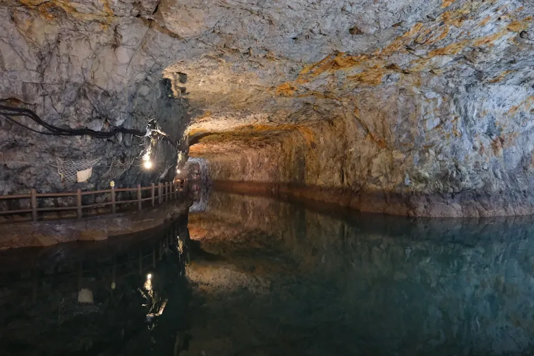
Long before Mammoth Cave in Kentucky became a national park, there were whispers of an endless maze under the hills – caverns where rivers vanished and reappeared, and streams that could carry a person for days in the dark. The truth, once properly surveyed, turned out to be even more staggering than the local tall tales. Beneath the surface lies the longest known cave system on Earth, with an intricate network of underground rivers and streams that have sculpted a multilevel labyrinth over millions of years.
These rivers are not just scenic curiosities; they demonstrate how surface drainage can reorganize itself into subterranean channels on a massive scale. Water from sinking streams drains into passages that flood in wet seasons and drop in dry ones, leaving behind terraces, sediments, and clues to ancient climates. In a way, the spooky folk stories were trying to describe something genuinely outside ordinary experience: a landscape where the main highways of water are hidden, winding for dozens of kilometers where the sun has never shone.
The Krubera–Voronya Cave Rivers, Western Caucasus
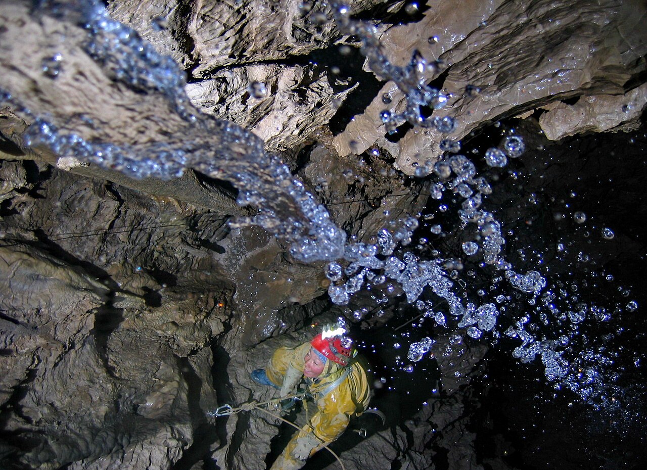
High in the Western Caucasus, tales of bottomless pits and roaring underground waters were easy to shrug off as mountain drama. Then explorers pushed deeper into Krubera–Voronya Cave and found something that changed the record books: a system plunging more than two kilometers below the surface, with underground streams, waterfalls, and siphons threading down through the rock. At that depth, these waters feel less like a quaint cave brook and more like a secret branch of the planet’s plumbing.
From a scientific perspective, the Krubera system shows how water relentlessly exploits fractures and weaknesses, cutting staircases of shafts and galleries that stack downward like a twisted skyscraper. The rivers here are often tight, frigid, and technically brutal to reach; they flood, they trap air, and they require serious logistics to even glimpse. That brutal reality somehow makes the earlier talk of “bottomless” caves feel almost modest, because the discovered depth and complexity really do brush against what most of us would have dismissed as myth.
The Subglacial “Rivers” Beneath Antarctica’s Ice
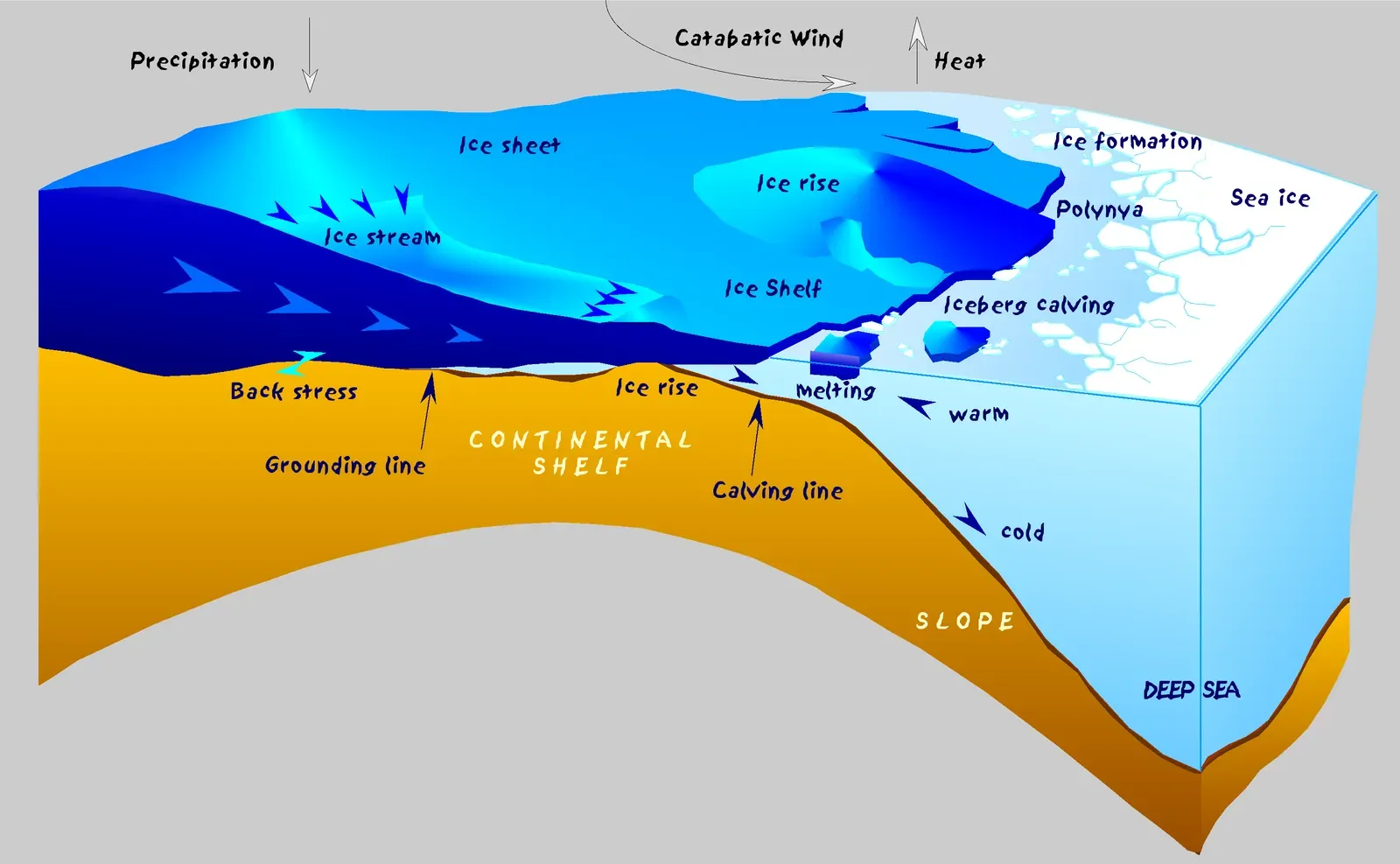
For much of the twentieth century, the idea of rivers flowing under Antarctica sounded like pure speculation, almost science fiction. How could liquid water move beneath ice sheets that are kilometers thick and locked in deep freeze? With the arrival of satellite measurements, ice-penetrating radar, and precise elevation data, researchers began to see the outlines of channelized water systems: networks of subglacial “rivers” that drain meltwater beneath the ice and can stretch for hundreds of kilometers across the hidden bedrock basins.
These underground rivers are different from the karst systems in limestone, but they are no less dramatic. They control how and where ice slides, influence the stability of ice shelves, and even pulse in fits and starts as lakes under the ice fill and drain. I find it wild that what once felt like a far-out theory – liquid rivers under a frozen continent – is now mapped well enough that scientists talk about specific subglacial catchments and flow paths. In a sense, this is modern mythology updated: the “underworld” here is a pressurized, pitch-black world of water and rock that we mostly know from remote sensing instead of torches and ropes.
Hypothesized Deep “Rivers” in the Amazon Basin’s Subsurface
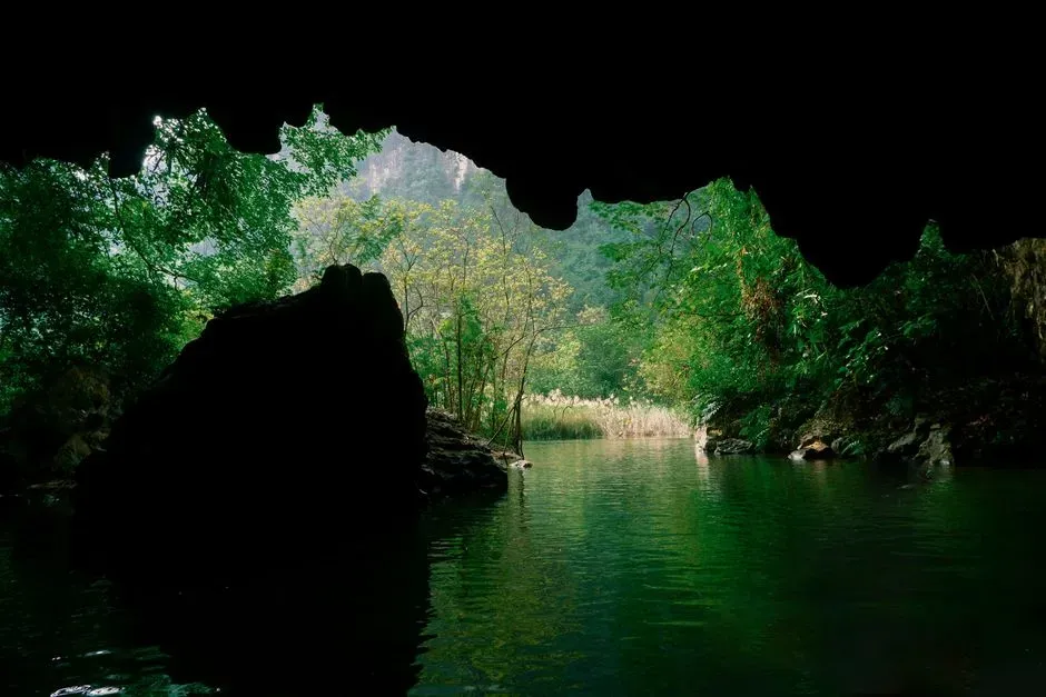
One of the most debated ideas of recent decades is that the Amazon might have a deep, slow-moving flow of groundwater running roughly beneath the path of the surface river, sometimes referred to as a kind of hidden, parallel stream. Some early interpretations suggested an underground “river” that would rival the surface Amazon in length but move through porous rock and sediments instead of open channels. That type of description sounds almost made to be misunderstood as legend: two vast rivers, one you can see and one buried far below.
Here it’s crucial to stay cautious. Unlike the clearly mapped cave rivers in limestone, this is a case where data from temperature profiles, wells, and models hint at large-scale groundwater movement rather than a neatly confined, tunnel-like river. The truth appears more complex and less cinematic than the early headlines, and that is exactly why it belongs on a list like this. It shows how our hunger for mythic ideas – hidden twin rivers, secret giants underground – can run ahead of the careful, slow work of science, which is still trying to untangle how groundwater really moves across such a huge basin.
Conclusion: When Myths Turn Out Half-Right
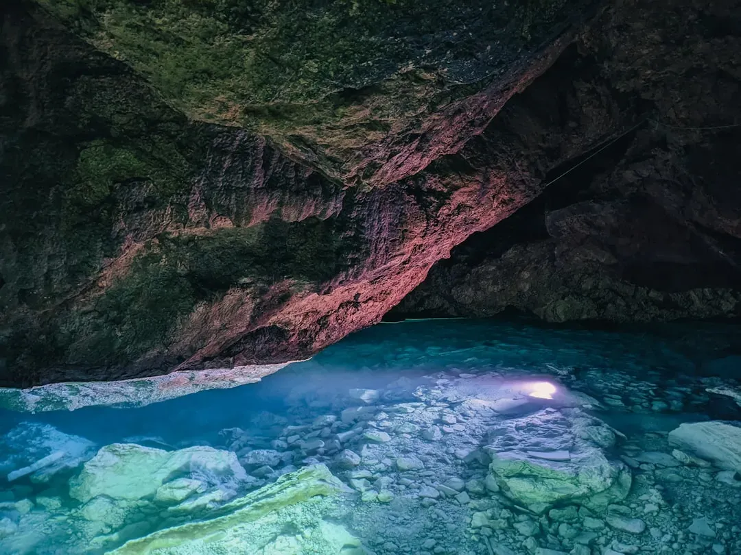
What ties these very different places together is not just that they hide water; it is that human imagination arrived there first. People told stories of rivers slipping into mountains, or portals to other realms, or unfathomable depths, and for centuries many of those tales were brushed off as colorful exaggerations. Yet when explorers finally showed up with sonar, lights, and patient mapping, they kept finding something shockingly close in spirit to the old rumors: enormous, powerful flows carving out secret worlds below our feet.
Personally, I think the most surprising lesson is not that underground rivers exist, but that our stories were often more respectful of them than our science was. We wanted to tame the unknown into neat maps, while myths were comfortable calling these places mysterious, dangerous, and larger than we could grasp – descriptions that, in hindsight, were pretty accurate. As we keep poking at the dark with better tools, I hope we stay humble enough to admit that some things still feel mythic even when the data is in. The next time you hear a wild-sounding rumor about a hidden river, are you going to laugh it off – or wonder what might really be flowing down in the dark?