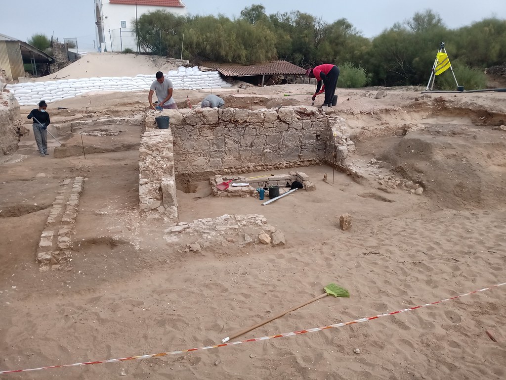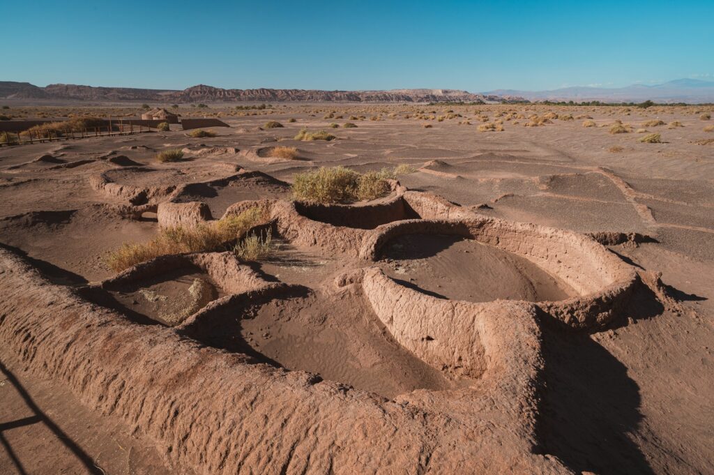
Every so often, nature peels back its own history like an old photograph emerging in a darkroom. One unusually dry summer can drain lakes, shrink rivers, scorch fields, and suddenly reveal things that were supposed to stay hidden: forgotten villages, ancient roads, drowned forests, even the outlines of vanished civilizations. It feels like the planet is whispering, reminding us that the landscapes we know are only the latest layer in a very long story.
In the last decade, scorching summers in Europe, North America, Asia, and beyond have uncovered archaeological sites that had been submerged or obscured for generations. Some are now well-studied; others flashed into view for only a few weeks before rain and rising waters swallowed them again. What they all share is a strange mix of beauty and unease: they’re breathtaking to look at, but they also carry a quiet warning about extreme weather and changing climates.
What follows is a journey through fourteen types of sites that can suddenly reveal. These examples draw on real discoveries from around the world, but focus less on listing dates and dig reports and more on what they mean: how they change our understanding of the past, and what they say about the fragile balance we live in now. Think of it as a guided walk through ghost villages, sunburned fields, and shrinking shorelines where history has quite literally resurfaced.
#1 Drowned Villages Rising from Reservoirs
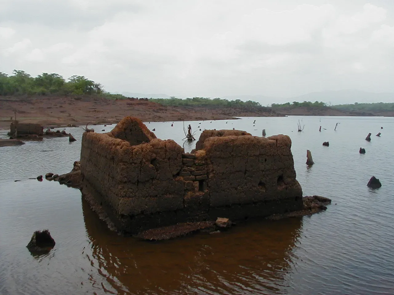
Few images from a dry summer are as haunting as the skeleton of a village emerging from the cracked bed of a shrinking reservoir. Stone walls, church towers, and old streets appear where, for decades, there was only open water. These places were often intentionally flooded in the twentieth century to create hydroelectric dams or drinking water reservoirs, forcing residents to leave their homes and watch them disappear beneath the rising waves.
When water levels drop dramatically in a hot, dry season, people sometimes find themselves walking along streets their grandparents last saw in boots, not boats. Churches that once hosted weddings and funerals reappear as empty shells, sometimes with recognizable architectural details still intact. Old lanes re-emerge as narrow ridges of stone, leading nowhere, yet full of emotional weight for families who still remember stories about them.
For archaeologists, these drowned villages are bittersweet gifts. On the one hand, they offer a rare chance to document buildings, floor plans, and village layouts that were assumed to be lost. On the other hand, the exposure is temporary and often damaging, as sudden drying, human curiosity, and wave action can weaken already fragile structures. Still, even a short season of low water can allow careful surveying, drone photography, and 3D modeling before the reservoir fills again.
For local communities, the experience is deeply personal. can stir up buried grief and nostalgia: people come back to lay flowers, trace old foundations, or show their children where the family bakery or school once stood. It’s history and climate meeting in real time, on a shore that did not exist the year before.
#2 Ancient Bridges and Roads Crossing Newly Shallow Rivers
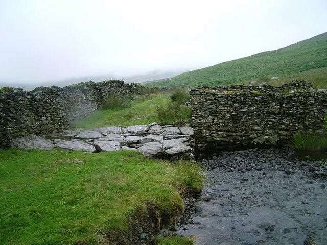
Modern highways tend to glide over rivers with concrete spans that feel timeless, but older landscapes were knitted together by stone bridges and fords that rivers have long since swallowed. In a dry summer, when river levels drop dramatically, the outlines of forgotten crossings suddenly appear: low stone arches, cobbled causeways, or rows of wooden piles driven into the riverbed centuries ago.
These features are more than just curiosities; they’re clues to how people once moved through a region. An exposed medieval bridge might show that an old trade route passed somewhere different from what historians assumed. A line of paving stones across a river can confirm that this was once a major crossing, perhaps guarded by toll houses or watchtowers now lost on the banks.
Archaeologists and geomorphologists sometimes rush to document these finds with a mix of old-school fieldwork and newer tools like lidar and multibeam sonar. When the water drops, they can walk, measure, and photograph features that are usually accessible only by divers. That creates a much richer map of historical infrastructure: where goods traveled, where armies marched, and where communities formed.
For people living nearby, there’s also a visceral thrill in seeing a bridge your ancestors may have crossed, literally stepping onto stones laid by hands long gone. It makes the past feel surprisingly close – yet it also underscores how quickly such traces can vanish again once the rains return and the river resumes its usual flow.
#3 Spectacular “Ghost Gardens” in Parched Fields
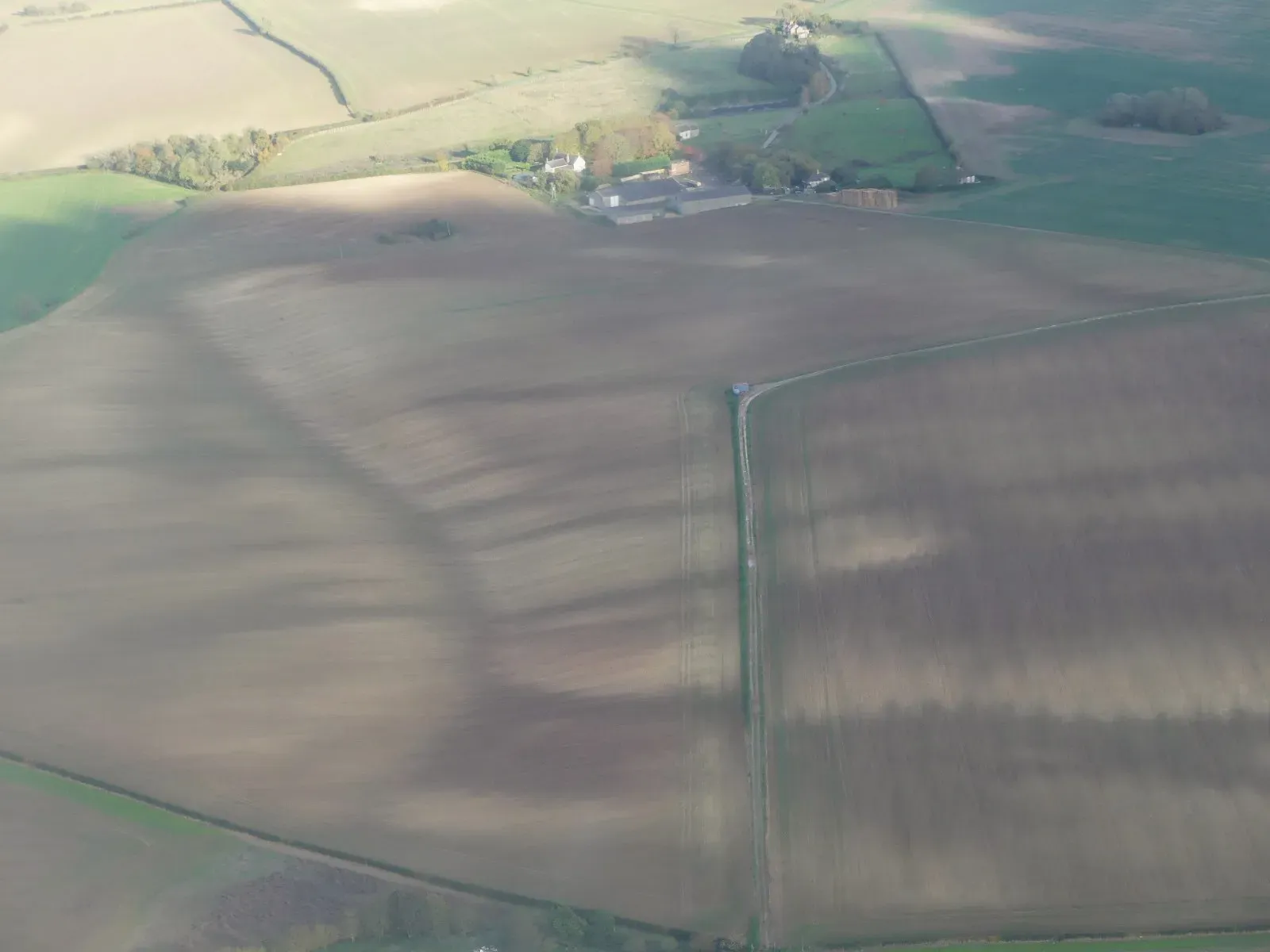
One of the most visually striking effects of a dry summer is the way ancient sites show up as patterns in crops and grass. Farmers suddenly notice pale rectangles in their fields, circular rings in barley, or curious lattice shapes in pastureland. These “cropmarks” and “parchmarks” happen when buried walls, ditches, pits, or foundations change how plants above them access water and nutrients.
In a very dry season, the contrasts become extreme. Grass over a stone wall might scorch and turn yellow, while vegetation above an ancient ditch stays just a bit greener. From ground level, the differences can look subtle, but from the air – via drones, small planes, or even sharp satellite images – they can explode into clear outlines of Roman villas, Iron Age roundhouses, lost farmsteads, or long-forgotten field systems.
Some of the most important archaeological mapping in Europe over the last few decades has come from exactly this phenomenon. Dry summers create perfect conditions for aerial archaeology, revealing sites that leave no above-ground trace at all. Once identified, these ghostly outlines can be ground-truthed later by excavation, geophysics, or coring.
For non-specialists, there’s something oddly magical about it. A plain wheat field turns out to be hiding a complex of buildings and courtyards; a pasture reveals the ring of an ancient enclosure. It feels like seeing an x-ray of the land, proving that every field we drive past may be sitting on top of centuries of unmarked stories.
#4 Prehistoric Trackways and Roads Emerging from Peat and Mud
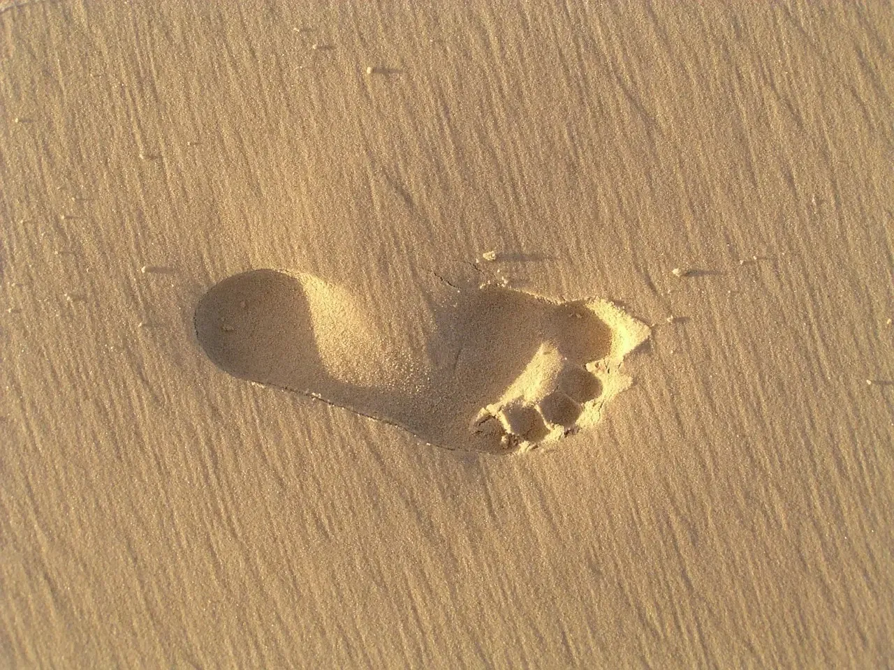
Not all drought revelations are stone and brick. In wetland areas – bogs, marshes, and ancient lake edges – a dry spell can lower water tables just enough to reveal wooden trackways and roadways laid thousands of years ago. These are often made from planks, brushwood, or logs, carefully arranged to create stable paths across what would otherwise have been treacherous ground.
Normally, these features are preserved because they are waterlogged and deprived of oxygen. That slows decay dramatically, allowing everything from tool marks on timbers to impressions of feet or wagon wheels to survive. When a dry summer pulls the water away, portions of these structures can suddenly appear at the surface, dark against the lighter peat or mud.
From a scientific perspective, such finds are gold. They can provide radiocarbon dates, evidence of woodworking techniques, clues about transportation and trade, and even hints about land ownership and ritual practice. Sometimes, associated finds – like discarded tools, animal bones, or offerings – are discovered along the track, telling a richer story about how it was used.
But there’s a darker side: once exposed to air and heat, these ancient woods can deteriorate quickly. Archaeologists often face an uncomfortable race against time, balancing documentation and rescue with the reality that not everything can be conserved. In that sense, is both an opportunity and a threat, revealing delicate human footprints in landscapes that had been quietly protecting them for millennia.
#5 Submerged Forests and Ancient Shorelines at Low Water
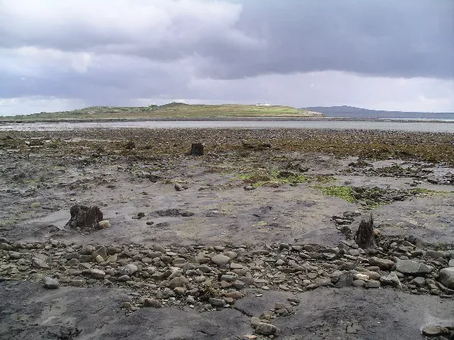
Walk along a shrunken lake or reservoir during a dry summer and you might suddenly stumble upon tree stumps – hundreds of them – rising from the mud like rotted teeth. These “drowned forests” are often the remains of woodlands that were flooded deliberately by dam projects, but in some cases they are far older, dating back to times when sea levels or lake levels were very different from today.
As water levels drop, these stumps and trunks come into view, sometimes still rooted in the soil in which they once grew. They tell a story of shifting shorelines: where the edge of a lake or estuary used to be, how fast it moved, and what kinds of trees thrived there. In coastal areas, submerged forests can be evidence of ancient coastlines that were swallowed as sea levels rose after the last Ice Age.
Researchers can take samples for tree-ring analysis, radiocarbon dating, and pollen studies. Tree rings can reveal patterns of drought, storminess, and growing conditions in the past, while microscopic pollen trapped in the sediments shows what plants and landscapes existed nearby. Together, they help reconstruct climate histories and how vegetation responded to long-term changes.
On a more emotional level, standing among those drowned stumps during a hot, dry summer carries a shock of recognition. They’re a stark reminder that landscapes can transform dramatically, sometimes within a human lifetime, sometimes over thousands of years. If a single season can expose them, it’s hard not to wonder what our own shorelines will look like if dry, hot summers become the rule rather than the exception.
#6 Forgotten Cemeteries and Burial Grounds in Shrinking Lakes
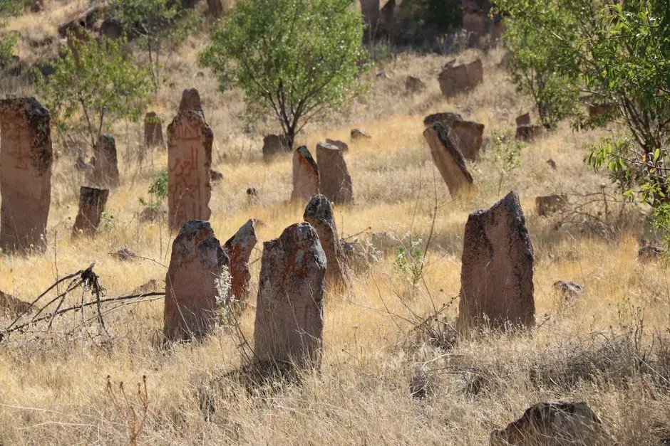
Some of the most unsettling discoveries during a dry summer come when the shorelines of lakes and rivers recede from places where cemeteries once stood. In some instances, burial grounds were intentionally relocated before dam construction, but not every grave was moved or documented. As water levels drop, grave markers, coffin fittings, and even human bones can reappear on the exposed banks.
These revelations raise immediate ethical and emotional questions. Archaeologists and local authorities are usually quick to cordon off such areas, both to prevent disturbance and to treat the remains with respect. There can be intense community reactions as well – descendants may feel anger or sorrow that their ancestors are being exposed in this way, even if unintentionally.
From a historical perspective, such cemeteries can fill gaps in records. Old inscriptions might confirm family names, migration patterns, or local population changes. In some cases, previously unknown burial grounds come to light, revealing communities that lived near now-vanished hamlets or industries such as mills and quarries that no longer exist.
But the overriding feeling around these sites is usually one of discomfort rather than excitement. A dry summer making the dead visible is a powerful symbol of how climate extremes can disrupt not only the living but our attempts to let the past rest. It forces a whole community to renegotiate how to honor those who were never meant to see the sky again.
#7 Lost Industrial Landscapes: Mills, Mines, and Factories
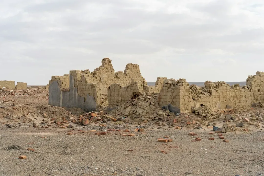
When water in reservoirs, rivers, and canals drops well below normal levels, the remains of past industrial booms sometimes surface: the foundations of textile mills, the outlines of quarries, abandoned lock systems, washed-out mine entrances, or platforms where loading cranes once swung. These places, which roared with noise in the nineteenth and early twentieth centuries, can lie quietly under water for decades before suddenly reappearing in a drought.
Many industrial sites were deliberately submerged or simply abandoned as economic patterns shifted. Hydroelectric projects flooded valleys full of mills and workshops; river engineering buried earlier canal features; lakes expanded over old mine infrastructure. A severe dry spell draws that curtain back, showing the bones of the industrial age: brick arches, wheelpits, metal fixtures corroding in the sun.
For historians of technology and labor, such sites are invaluable. They record how work was organized, what kinds of machinery were used, and how industrial communities were physically laid out. Sometimes, associated artifacts – broken tools, fragments of equipment, domestic debris from workers’ housing – emerge alongside the structural remains, offering a glimpse into daily life.
There’s also a jarring contrast in seeing these ghost factories reappear at a moment when water shortages and energy stresses are front-page news. The landscapes that once powered early waves of industrial growth are revealed again just as societies grapple with the long-term environmental costs of that growth. In that sense, a dry summer can feel like an uninvited performance review from history.
#8 Ancient Field Systems and Terraces Etched into Dry Hillsides
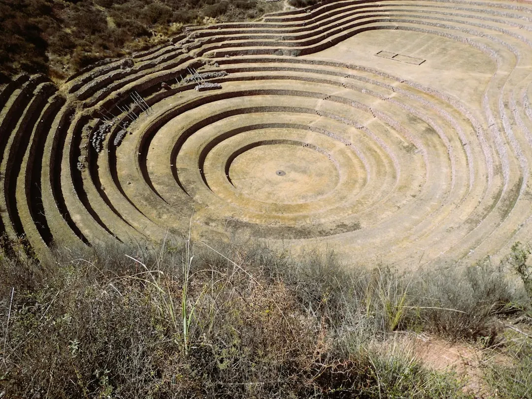
Not all drought discoveries involve water receding. On hillsides and uplands, a very dry season can strip back vegetation just enough to reveal old agricultural terraces, field boundaries, and plow marks that are usually masked by grasses and scrub. Slopes that once supported intricate systems of stone-lined terraces or earthen banks suddenly show their stripes when the plants wither and thin out.
These ancient field systems are like maps of past economies. Their size, shape, and orientation can tell us how people adapted to slopes, how they managed soil erosion, and what crops they likely grew. In some regions, terrace systems show remarkable engineering, with carefully built walls, drainage channels, and routes for moving livestock and water.
During an especially dry summer, drones and high-resolution satellite images can pick up these patterns with more clarity than usual. Subtle variations in soil color and vegetation density create visible lines and grids, which specialists can compare to historical maps, land records, and earlier surveys. That can reveal how land use expanded or contracted over centuries – where marginal land was brought into production during population booms and then abandoned later.
For modern farmers and land managers, these revealed terraces and boundaries are sometimes a mixed blessing. They can complicate plowing and planting, but they also share time-tested strategies for working with slopes and scarce water. In some cases, traditional terrace systems are being studied and revived as models for sustainable agriculture in a hotter, drier world. , ironically, can highlight how past generations already wrestled with similar problems.
#9 Shipwrecks, Boats, and Harbor Structures in Receding Waters
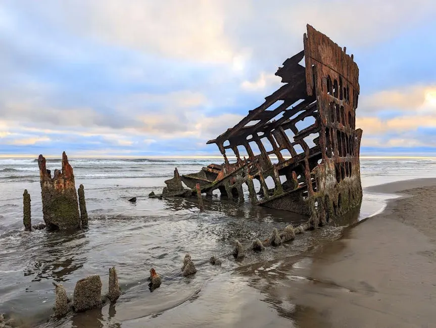
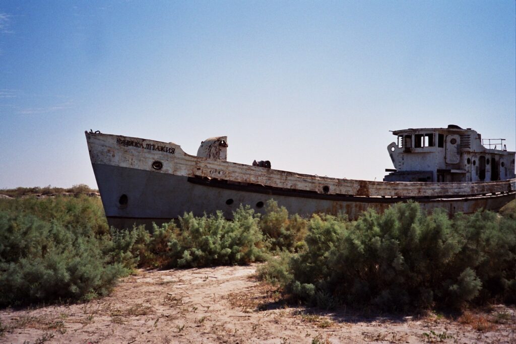
Low water is a shipwreck hunter’s dream and a conservator’s nightmare. When lakes, reservoirs, or even sheltered coastal areas empty out to record lows, the bodies of long-sunken vessels and harbor structures can break the surface or become accessible in the mud. From small wooden fishing boats to larger barges and metal-hulled craft, many have been preserved for decades in cool, low-oxygen water – until a hot summer lifts the lid.
Once exposed, these vessels can offer stunning detail. Carving marks on timbers, tool storage areas, cargo remnants, and construction techniques are suddenly visible to the naked eye. Old piers, slipways, and quays can appear as lines of piles and stones stretching from the current shoreline into what used to be deeper water, revealing how far the waterfront has shifted over time.
But the exposure is risky. As with wetland wood, once waterlogged ship structures meet air, heat, and sun, deterioration speeds up dramatically. Archaeologists and heritage agencies often have to make quick decisions: document and rebury, attempt emergency stabilization, or, in rare cases, lift parts of the vessel. Meanwhile, curious visitors might unintentionally damage fragile remains just by climbing on them for photos.
These shipwrecks tell stories not only of navigation and trade, but also of disasters, wars, and local economies. Seeing them emerge from shrinking waters during a relentlessly hot summer drives home a disquieting message: events we thought were safely sealed in the past can be dragged back into the present by the shifting climate alone.
#10 Rock Art, Carvings, and Inscriptions Revealed by Retreating Ice and Water
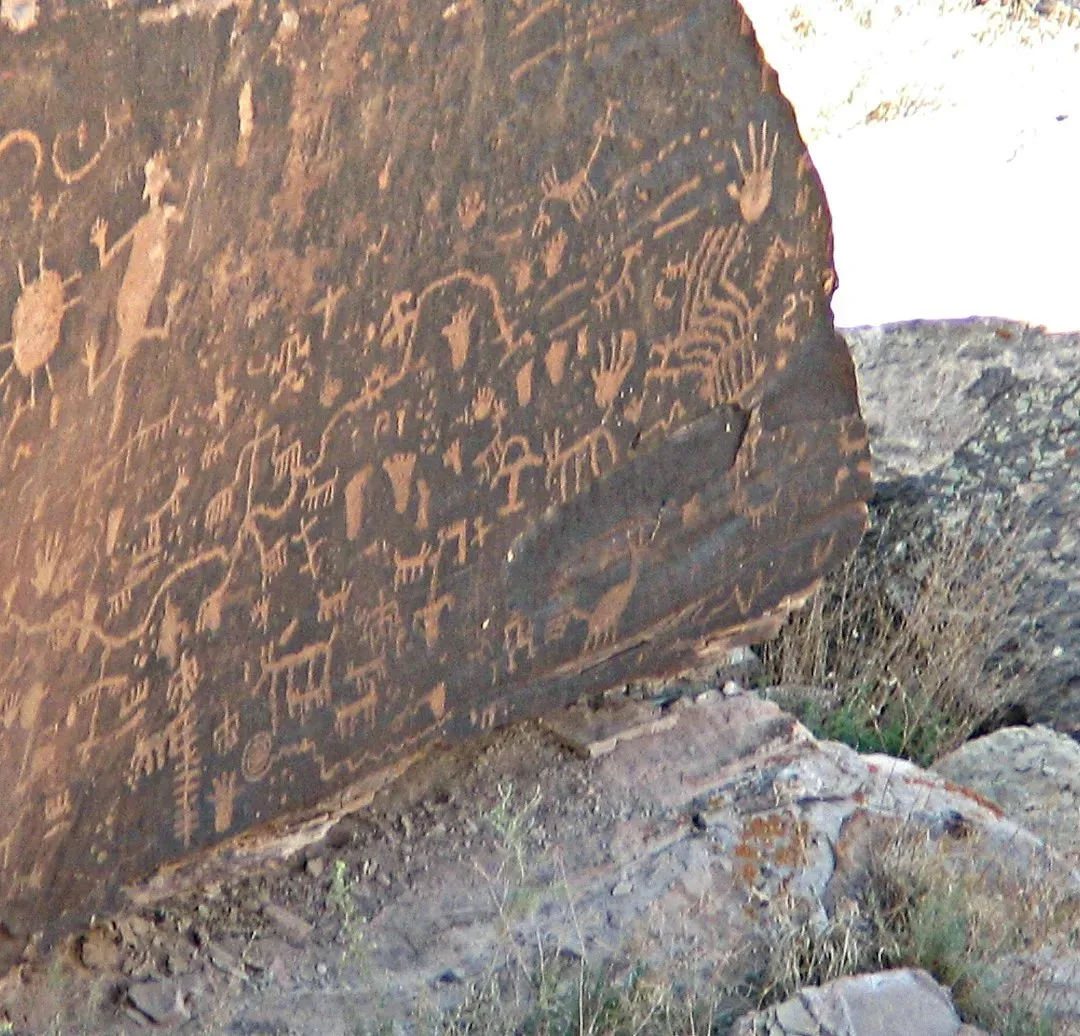
In some mountainous and northern regions, a dry, hot summer comes hand in hand with ice melt that is faster and more severe than usual. As glaciers, snowfields, and perennial ice patches retreat, they sometimes expose rock surfaces that have not seen the light for centuries – or even longer. On those surfaces, archaeologists and hikers occasionally find petroglyphs, inscriptions, or painted rock art that was hidden behind ice or persistent snow.
Similarly, falling water levels in rivers and reservoirs can uncover engraved stones, boundary markers, or religious carvings that were placed near historic waterlines. A drought can pull these features back into view, making old spiritual and territorial claims visible again. These can range from simple symbols and dates to complex carvings depicting mythological scenes, animals, or human figures.
Some of the key values of such finds include: – They can extend known timelines of human presence in a region. – Their style and subjects may reveal cultural links across large distances. – They often mark routes, sacred places, or political boundaries. – They sometimes record past climate or water levels indirectly, through associated imagery.
For local communities, these carvings can be enormously meaningful, especially when they connect to Indigenous knowledge and oral histories. There’s also an uncomfortable twist: many of them are being revealed not by gentle scientific progress but by rapid environmental change. The same heat that exposes the art may also speed up weathering, leaving very little time to document and protect what has just appeared.
#11 Lost Roads, Railways, and Paths Cutting Across Now-Dry Ground
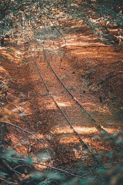
Dry summers have a way of re-drawing the transportation map of the past. When reservoirs withdraw and marshy areas dry out, forgotten roads, railway lines, and tracks appear as raised causeways, embankments, and linear scars across the landscape. In some cases, the rails and ties are still there, rusted but recognizable; in others, only the ballast and alignments remain.
These lines often tell stories of boom and bust. A railway that once served a thriving mine or factory may have vanished from living memory once the industry closed and the area was flooded or overgrown. A dry spell exposes that infrastructure again, tracing out economic corridors that rose, flourished, and disappeared within a few generations.
For surveyors and historians, such exposures help to refine maps and understand how people and goods moved in earlier eras. They may reveal branch lines, sidings, or rural roads that don’t appear on surviving plans. Combined with historical aerial photography and documents, this creates a more nuanced picture of regional development, migration, and industrial strategy.
On a more personal note, walking a dry, silent railway bed that emerges from a recently receded lake feels surreal. The imagination fills in the rest: the sound of engines, the movement of workers, the smell of coal or diesel. You stand in a place that logically should not exist – train tracks that lead into the water – made possible only by one harshly dry season.
#12 Archaeological “Palimpsests” in Cities: Foundations Beneath Cracked Asphalt
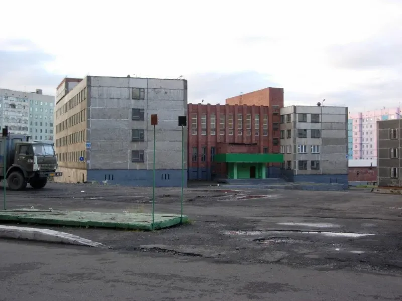
Dry summers affect cities too, although the signs are more subtle. Extended heat and drought can cause soils under buildings, streets, and plazas to shrink and shift, opening cracks in asphalt or subsiding pavements. In some older cities built over deep layers of history, this movement can expose fragments of earlier structures: bits of masonry from old walls, vaulted cellars, or remnants of long-buried street surfaces.
Urban archaeologists sometimes describe cities as “palimpsests,” like parchment that has been written on, scraped clean, and written on again. can literally crack that surface and let pieces of previous chapters peek through. That might be a glimpse of a medieval foundation under a collapsed sidewalk, or a stretch of cobblestones that appears when modern surfacing breaks apart.
These exposures are rarely dramatic, but they are rich in information. They can: – Reveal how city streets shifted or realigned over time. – Indicate the location of lost buildings, gates, or fortifications. – Provide materials for dating earlier phases of urban growth. – Prompt rescue digs before repairs cover them again.
I remember walking through an older European city one blistering August and seeing an entire patch of the modern square sag and fracture, exposing underlying brickwork that clearly belonged to a much earlier age. It was a jolt: climate stress had literally pulled the skin off the city for a moment, giving a quick, unplanned lesson in urban time travel.
#13 Ancient Wells, Springs, and Water Systems in a Time of Drought
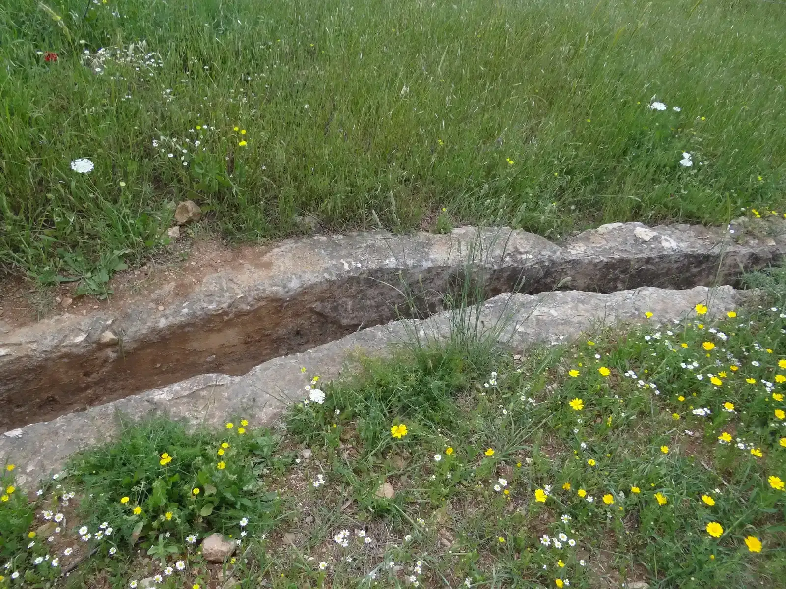
There’s an ironic twist in the way dry summers reveal how past societies managed their water. As groundwater levels fall and modern wells struggle, ancient cisterns, channels, and spring structures sometimes become visible again. Old stone rings marking long-disused wells appear in fields; carved channels and covered conduits surface in dry riverbeds; collapsed roofs of forgotten cisterns show up as depressions in parched ground.
These systems often show remarkable ingenuity. Carefully engineered slopes, settling basins, overflow points, and storage chambers reveal a sophisticated understanding of hydraulics, even in small communities. In some arid regions, networks of underground channels once tapped distant aquifers and delivered water to fields many kilometers away, a feat of quiet engineering that only becomes obvious when the overlying soil shrinks and cracks.
During a dry spell, archaeologists and hydrologists can map these systems and compare them with modern infrastructure. That can lead to some humbling realizations: societies with far fewer tools and technologies sometimes handled scarce water with a subtlety we are only just starting to appreciate again. Key takeaways that often emerge from these studies include: – Past systems tended to spread risk across many small features rather than a few massive ones. – Maintenance was built into social life, with shared responsibility. – Storage and slow release of water took priority over fast extraction. – Design worked with gravity and terrain instead of fighting it.
In a world where water stress is becoming more common, the reappearance of such systems in feels almost like practical advice from the past. The land is not just showing us ruins; it is quietly demonstrating old strategies that might be worth adapting, not just admiring.
#14 Climate Messages Hidden in Layers of Mud, Salt, and Dust
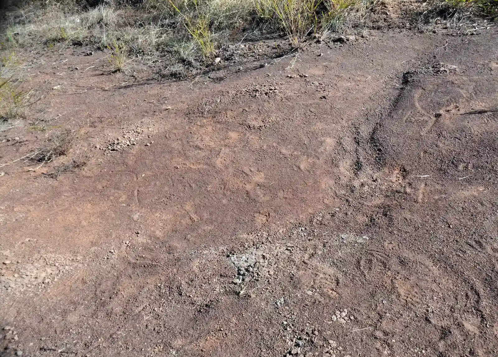
Some of the most important “sites” revealed by a dry summer are not dramatic ruins at all, but humble layers of mud, sediment, and salt. When lakes and wetlands shrink sharply, they expose cross-sections of their beds: bands of clay, silt, organic matter, and evaporite minerals that record centuries of wet and dry cycles. In extreme cases, old shorelines can be traced as distinct steps or ridges, each one marking a former water level.
Paleoclimatologists and geologists see these exposures as notebooks left open in the sun. They can take cores and samples that show, in fine detail, how precipitation, temperature, and human land use have shifted over time. Pollen grains, charcoal fragments, microscopic shells, and mineral crystals all carry clues about vegetation, fires, salinity, and erosion. A single hot summer that pulls back the water can let scientists read several centuries of prior summers more clearly.
What they often find is sobering. Past societies have lived through repeated droughts, sometimes adapting successfully, other times collapsing or migrating. Patterns emerge: long stretches of relative stability punctuated by sharp, destabilizing dry spells. We like to think our current climate upheaval is unprecedented, and in some ways it is, but the exposed sediments tell a more complicated story of recurring stress and resilience.
To me, this is the most powerful twist of all. Beneath every newly revealed wall, bridge, or stump lies a deeper geological and climatic script, and a brutally dry summer turns more of that script into plain text. The land is essentially holding up a mirror, inviting us to recognize that we’re not the first to face water scarcity – but we might be the first to cause it on this scale.
Conclusion: When the Past Surfaces, So Do Our Choices
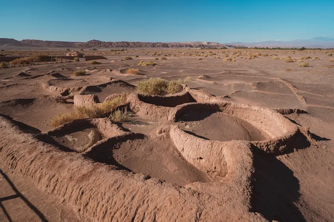
can feel like pulling a thread on a carefully woven tapestry. What starts as low water and heat waves ends with drowned villages on the evening news, strange patterns in farm fields, shipwrecks bleaching in the sun, and unearthed cemeteries that force awkward conversations about memory and respect. The sites revealed are often beautiful, sometimes heartbreaking, always instructive. They remind us that landscapes are not static; they are palimpsests of decisions, disasters, and adaptations layered one over another.
Scientifically, these drought-driven discoveries are a windfall. Archaeologists, historians, and climate scientists gain new data, better maps, and richer narratives about how people once lived with (and sometimes against) the water around them. But it would be naive to celebrate them without also acknowledging the cost. The same extremes that expose ancient bridges and terraces are also straining modern water supplies, stressing ecosystems, and making everyday life more precarious in many places. There’s an uncomfortable sense that the planet is offering us a history lesson under duress.
My own view is that we should treat these resurfaced sites less like curiosities and more like briefing documents from earlier chapters of humanity. When old wells reappear, they are not just picturesque – they are a reminder that careful, distributed water management once underpinned whole societies. When drowned villages rise from reservoirs, they force us to confront how quickly landscapes can be remade, and who pays the price when they are. If we listen closely, each exposed stump, road, and cropmark is making the same quiet argument: we are not outside history, we are standing in the middle of it.
So the next time a brutally dry summer makes headlines, it might be worth asking not only what is being lost, but also what is being revealed – and whether we are willing to act on the stories that surface. If the land is speaking this plainly, the real question is simple: are we actually listening?