Most people assume weather history begins the day someone invented a thermometer or a rain gauge. It doesn’t. Long before humans logged a single data point, forests were already keeping meticulous, minute-by-minute meteorological diaries – written not in ink, but in wood.
Scientists who study these diaries, a field called dendrochronology, have discovered that trees quietly logged droughts, frozen summers, hurricanes, solar storms, and even distant volcanic eruptions centuries before any human instrument existed to measure them. Some of these records turn out to be more precise than modern weather stations. Here’s what tree-ring scientists actually say trees have been recording all along, one growth ring at a time.
#1 – The Exact Year a Volcano Nearly Froze the Planet
Somewhere in a bristlecone pine growing at treeline in the American West, a single ring tells the story of a summer that never really warmed up. These are called frost rings, and they’re one of the most dramatic entries in a tree’s weather diary.
New data about climatically-effective volcanic eruptions over the past several thousand years may be locked inside frost-damage zones in annual tree rings. There’s strong agreement between the timing of these frost events and known eruptions, with the damage plausibly linked to the climatic effects of stratospheric aerosol veils on hemispheric and even global scales.
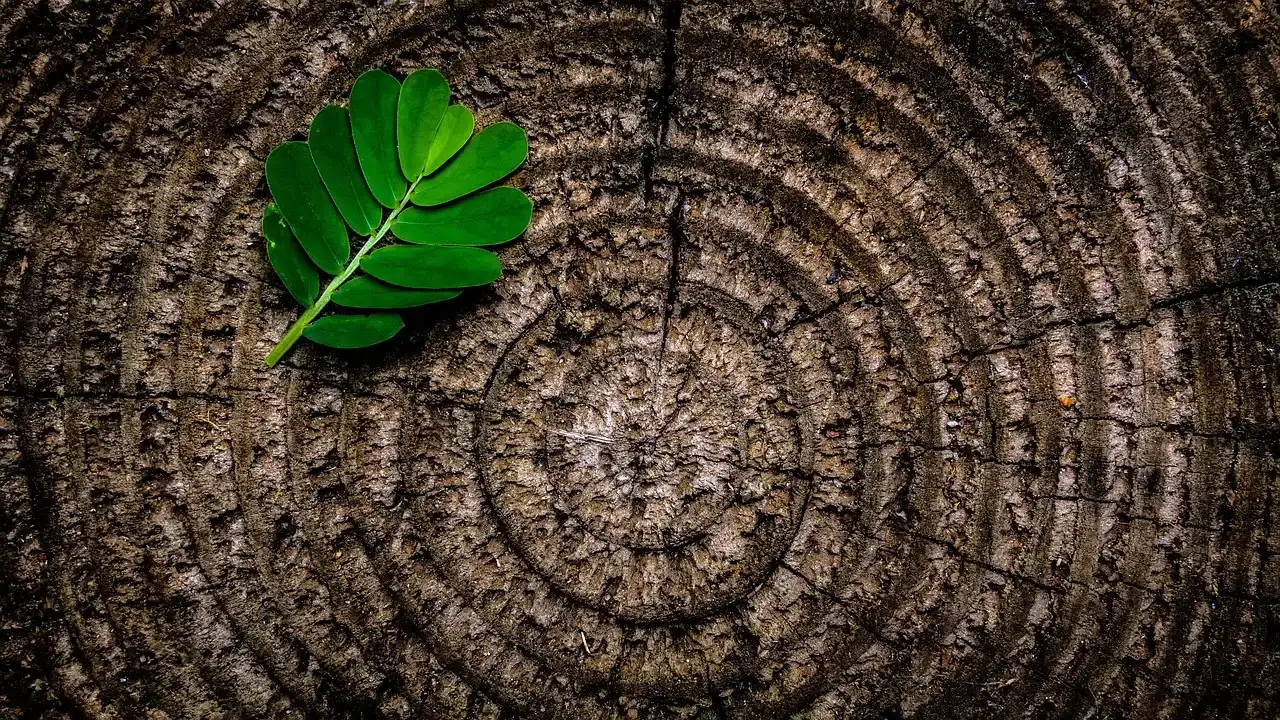
The mechanism is brutal and beautiful at once. Large volcanic eruptions can trigger a mid-growing-season freeze that scars a bristlecone pine, creating a frost ring. No thermometer existed to record that sudden summer freeze – but the tree’s own cells did, permanently marked at the exact cellular layer being built that season.
Researchers have even used this to date catastrophic ancient events. The cataclysmic eruption of Santorini (Thera), in the Aegean, is tentatively dated to 1628–1626 BC from frost-ring evidence. No weather instrument on Earth was capturing atmospheric data 3,600 years ago – but the trees were.
Fast Facts
- Dendrochronology was developed in the early 1900s by astronomer A. E. Douglass, who reasoned that changes in solar activity would affect climate patterns recorded in tree-ring growth, not by a botanist at all.
- He launched the journal Tree-Ring Bulletin in 1934, and in 1937 established the Laboratory of Tree-Ring Research at the University of Arizona.
- His original Southwest master chronology stretched back to 700 AD, and dendrochronologists have since extended it to 6700 BC.
- Crossdating – matching ring patterns between trees – lets scientists pin an exact calendar year to a single ring, centuries after the fact.
#2 – Droughts So Severe the Tree Simply Skipped a Year
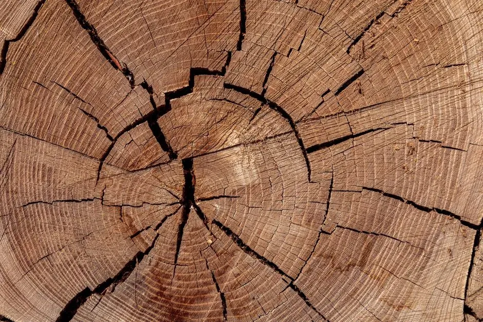
Here’s something most people don’t realize: trees don’t always add a ring every year. Sometimes they add none at all, and that absence is itself a weather record.
Widespread missing rings at individual sites are actually more common in drought-prone settings, while temperature-sensitive tree-ring series rarely skip a year at all. This isn’t a flaw in the data – it’s the data.
A tree so stressed by lack of water that it cannot physically form new wood is registering a drought more honestly than any rain gauge, which only measures what fell from the sky, not what the ecosystem actually endured.
Scientists studying Mediterranean pines confirmed this isn’t random. Missing-ring formation is a fundamental response to adverse conditions, and its relationship to extreme climatic events shows real potential for reconstructing the history of past climate extremes. A blank space in the wood can be more informative than a filled one.
#3 – Individual Hurricanes, Fingerprinted Decades Later
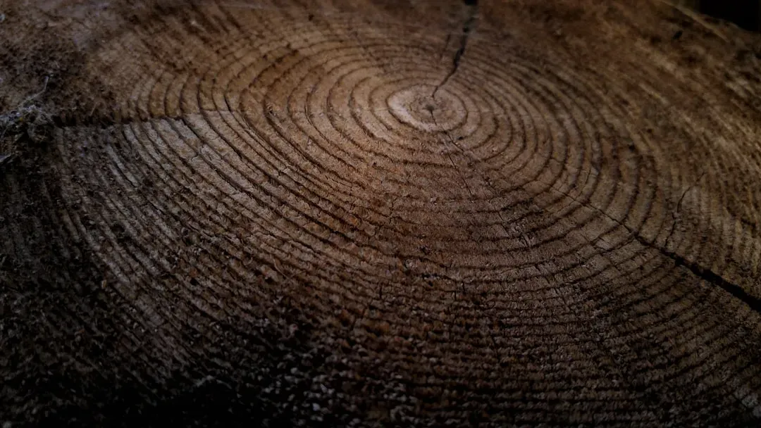
This one genuinely surprises people: trees don’t just record “it rained a lot” during a storm – they record the specific chemical signature of hurricane rain, distinct from ordinary rain.
During big storms, water vapor containing the heavy isotope oxygen-18 condenses and falls first, leaving local precipitation depleted of that isotope for weeks afterward. Trees quietly absorb that depleted signature into their cellulose.
Researchers scraping wood from longleaf pines along the Gulf Coast proved this works at scale. Their 220-year record of oxygen isotope values in tree rings preserves anomalously low readings in the latewood exactly in years matching known 19th and 20th century landfalling storms and hurricanes.
Why does this matter? Before roughly 1900, systematic hurricane records are fragmentary in many places, relying mostly on ship logs and old newspapers. Trees may have been tracking hurricane seasons for centuries before any ship’s captain ever logged one.
#4 – Solar Storms That Never Showed Up on Any Sky Chart
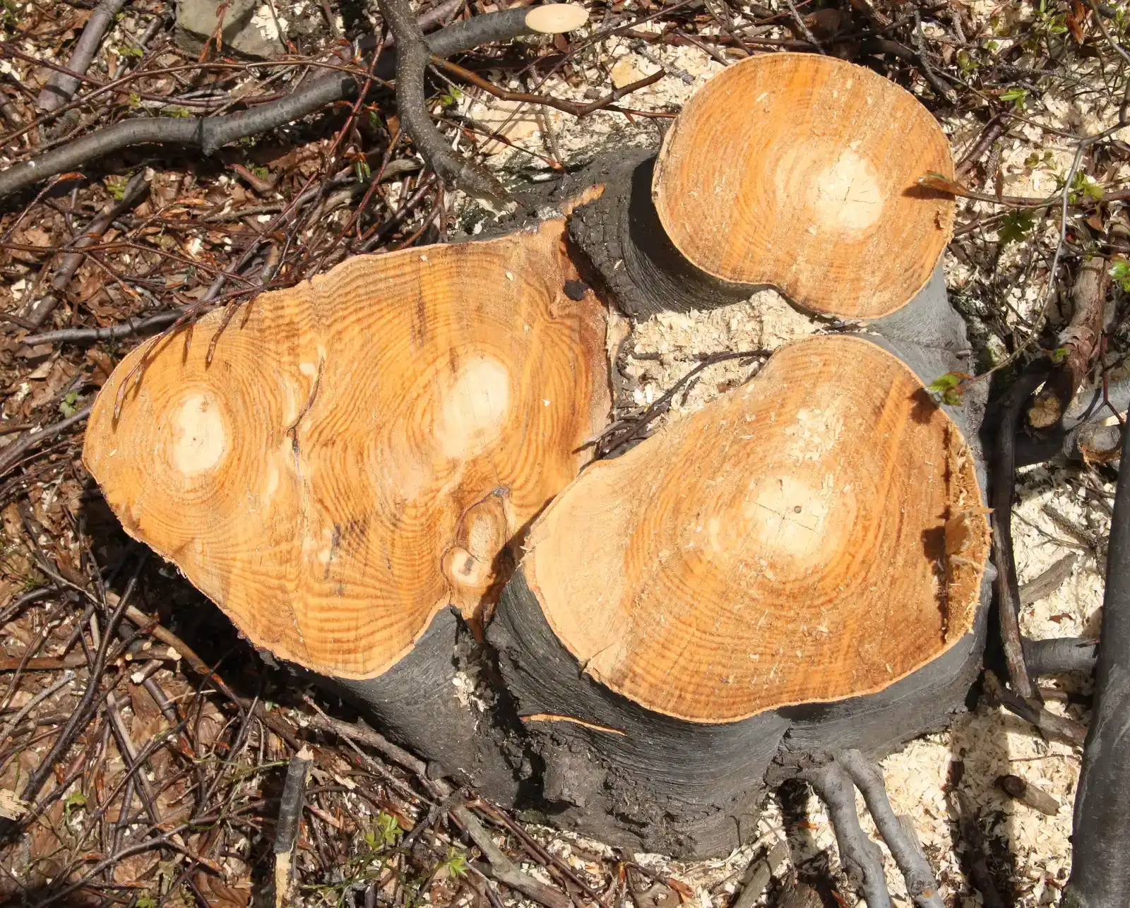
Nobody was watching the sun in 774 AD. There were no telescopes, no sunspot logs, no satellites. Yet trees somehow recorded a massive solar event that year – a discovery that genuinely shocked physicists.
A sharp spike in atmospheric carbon-14 turned up in tree rings dated to AD 774–775, offering strong evidence of a huge cosmic ray flux hitting Earth that year.
This wasn’t an isolated case, either. The technique has since let researchers find similar isotope spikes from hundreds or even thousands of years ago – events now nicknamed “Miyake events,” possibly triggered by ancient solar flares or other high-energy bursts. A second confirmed spike followed in AD 993, most likely caused by a large solar proton event.
Here’s the science behind it. Carbon-14 and beryllium-10 form in the atmosphere when cosmic rays from the sun and beyond reach Earth, and trees absorb that carbon and lock it permanently into their rings. A tree in the year 774 was recording activity happening on the surface of the sun – no observatory required.
#5 – Whether a Given Summer Was a Soaker or a Scorcher
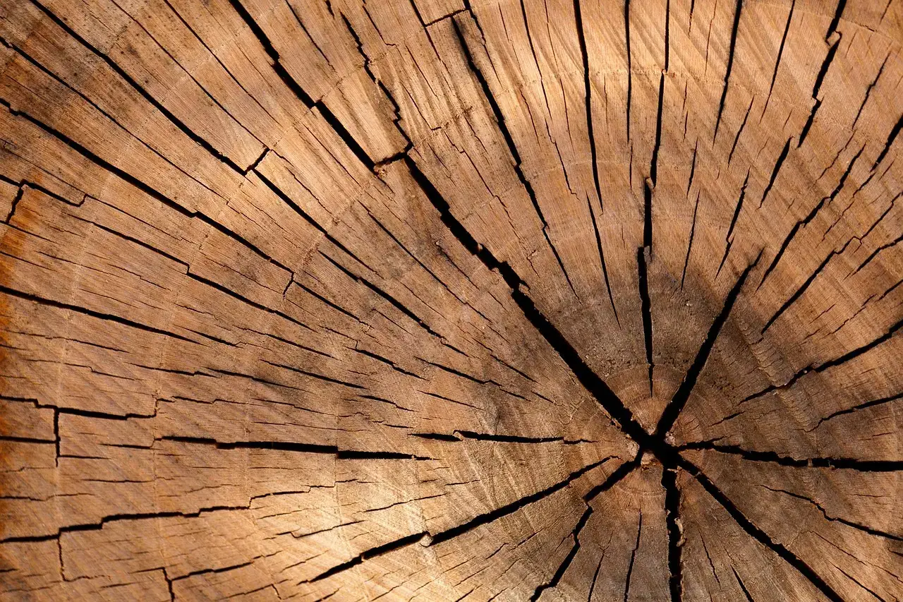
The most basic entry in a tree’s weather diary is also its most reliable: the width of the ring itself. But the meaning of “wide” or “narrow” changes depending on where the tree grows, and that distinction is a quietly clever piece of natural design.
In dry environments like the Middle East or U.S. Southwest, tree rings typically track wet or dry years. In cooler high-latitude or high-elevation areas, ring width instead becomes a proxy for temperature. The exact same organism, in two different climates, ends up running two entirely different sensors – one a rain gauge, the other a thermometer.
Quick Compare
- Desert Southwest / Middle East pines: Wide ring = wet year. Narrow ring = drought year.
- High-latitude / high-elevation treeline conifers: Wide ring = warm growing season. Narrow ring = cold snap.
- Same species, different message: Location determines whether a ring is functioning as a rain gauge or a thermometer.
- Before trusting either reading: Scientists calibrate ring patterns against real instrument records first.
Scientists don’t just eyeball this pattern; they calibrate it against known instrument data first. Climate researchers compare tree growth records to local weather records, and where a solid statistical match exists between growth and temperature or precipitation, ring widths can be used to estimate past climate over the tree’s entire lifetime.
Once that calibration is locked in, the tree becomes a functioning weather station stretching back centuries before any human ever built one.
#6 – Summer Heat Recorded More Precisely Than Ring Width Alone
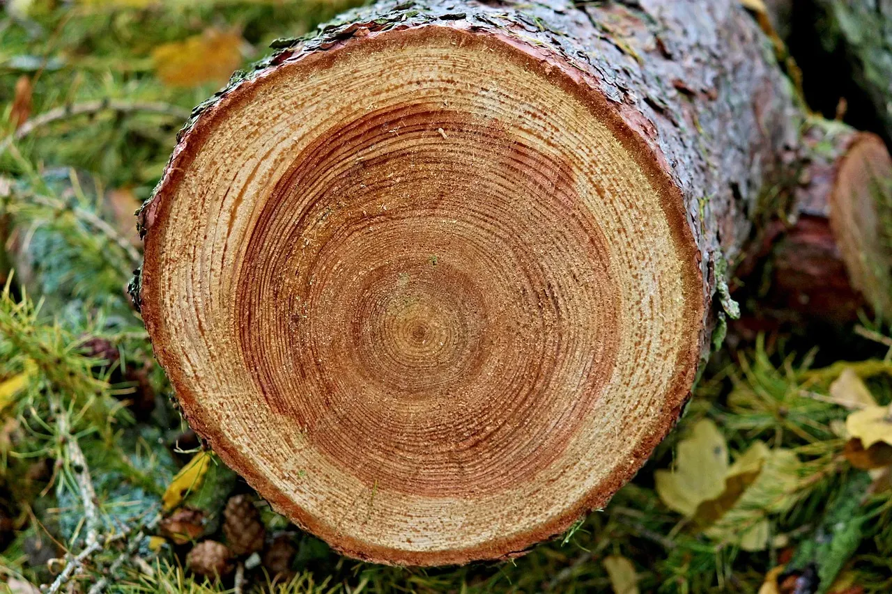
Turns out, ring width isn’t even the best temperature record trees offer – that title goes to something most casual observers have never heard of: latewood density. Most people assume a “big ring” always means a “warm year,” but experts say that’s an oversimplification.
Volcanic cooling signals show up in ring widths and in frost-damaged rings, but they’re often most clearly and quantitatively represented in maximum latewood density instead. In other words, the density of the wood laid down at the end of the growing season is a sharper thermometer than the ring’s overall width.
This matters because ring-width records have a known weakness. Biological persistence in treeline conifers causes ring width to carry high year-to-year autocorrelation, so cooling from a volcanic eruption can appear to drag on for years within a ring-width reconstruction – even if the actual cold snap was brief.
Density measurements correct for a tree’s tendency to “remember” trauma longer than the actual cold spell lasted.
#7 – Lightning Strikes, Earthquakes, and Fires – Written in Scar Tissue
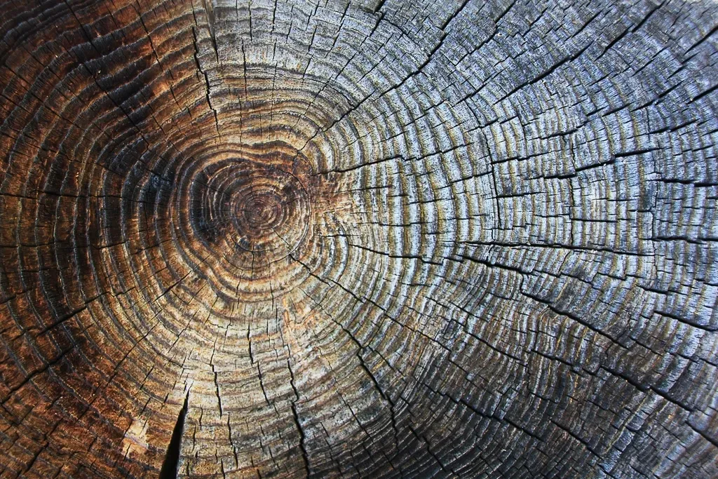
Weather instruments almost never capture localized, violent, split-second events. Trees, on the other hand, wear the evidence for centuries.
They record evidence of floods, droughts, insect outbreaks, forest fires, lightning strikes, and even earthquakes – a fundamentally different kind of record than a rain gauge or barometer provides. A weather station reports averages and totals; a tree reports individual, dateable trauma.
Worth Knowing
- Fire scars often appear as a blackened wedge on one side of the trunk, sometimes visible for decades.
- Lightning strikes can leave a vertical scar running through bark and wood, occasionally killing part of the tree instantly.
- Insect outbreaks, like bark beetle infestations, show up as a sudden, multi-year dip in ring width.
- Earthquakes can trigger abrupt, same-year growth changes across multiple trees at a single site.
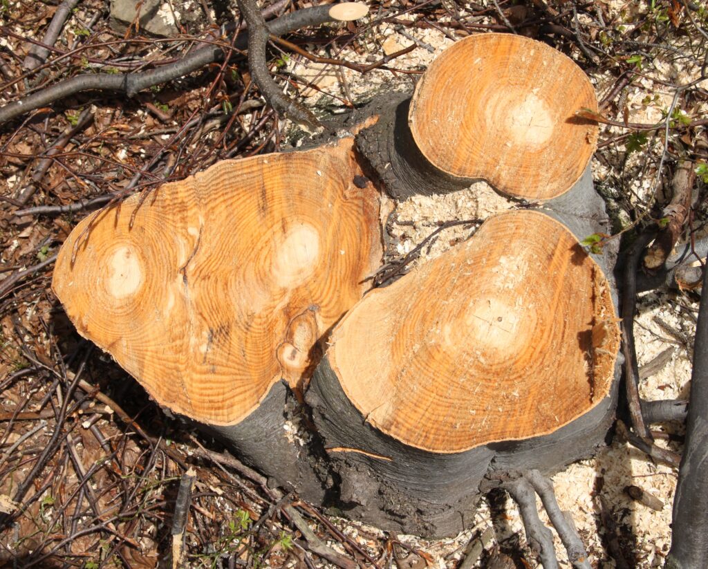
Their growth layers, visible as rings in a cross section of trunk, preserve evidence of disastrous floods, insect attacks, lightning strikes, and seismic events that occurred during that tree’s lifespan.
The scientific value compounds over time. String enough consecutive rings together, and scientists can decode subtle, long-term shifts in climate. A single scarred ring is a snapshot; decades of scarred rings become a documentary film of every violent event a forest survived – footage no camera or gauge ever captured.
#8 – Metal Contamination From Eruptions Hundreds of Kilometers Away
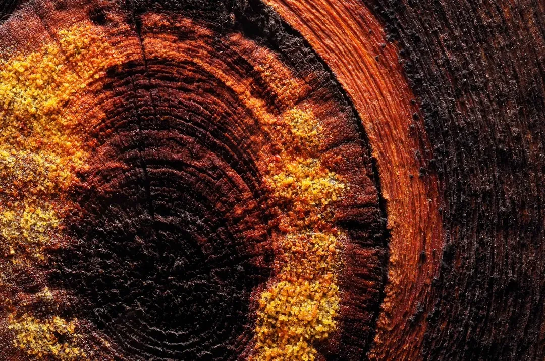
Here’s a genuinely strange fact: trees don’t just record that a volcano erupted – they absorb its actual chemical fallout into their wood, and scientists can measure it directly. Near Mexico’s Popocatépetl volcano, that effect turned out to be startlingly literal.
Researchers found a sharp spike in metal concentrations – cobalt, chromium, copper, iron, lithium, molybdenum, nickel, lead, rubidium, strontium, titanium, and zinc – inside tree rings formed right after the major 2000 eruption, compared with rings laid down before it. That’s not a proxy or an inference. That’s literal volcanic metal, chemically embedded in living wood.
Even stranger, the effects didn’t all appear at once. Other elements like aluminum, potassium, and sulfur didn’t peak until two years later, in the 2003 ring – the same year the tree formed an unusually narrow growth band.
A tree near an active volcano isn’t just a witness to eruptions – it becomes a slow-motion chemical sensor, logging fallout on a delay no seismograph or air-quality monitor could match.
#9 – A 5,000-Year Weather Archive No Weather Station Could Ever Match
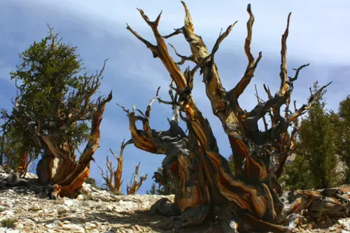
Most people picture “old weather records” as a few centuries of ship logs. Bristlecone pines quietly blow that timeline out of the water. These gnarled, high-altitude survivors are, without exaggeration, some of the oldest living weather instruments on the planet.
Researchers identified 165 years of extreme low growth in upper forest border bristlecone pines spanning the last 5,000 years, and many of those years line up with known large explosive eruptions and ice-core evidence of past volcanic activity. Sit with that for a second – five millennia of continuous, annually resolved environmental data, recorded by organisms simply doing what trees do: growing, one ring at a time.
At a Glance
- The oldest trees in the world are bristlecone pines of California’s White Mountains, including Methuselah, dated in 1957 from core samples as being more than 4,800 years old.
- An even older specimen sampled the same year wasn’t fully crossdated until 2009 – it’s now considered the oldest verified living tree in the world.
- Bristlecone pines grow agonizingly slowly, some adding only one inch of height per century.
- Combining living and dead wood, the bristlecone climate record extends back more than 9,000 years.
To separate drought stress from volcanic cooling, scientists had to get creative. Years where growth was more limited at lower elevation than at upper treeline were flagged as drought years, while years also showing frost-damage evidence were reclassified into the volcanic analysis instead.
No human-built instrument has ever run continuously for even one-fifth of that timespan.
#10 – Storm Records That Predate the National Weather Service Itself
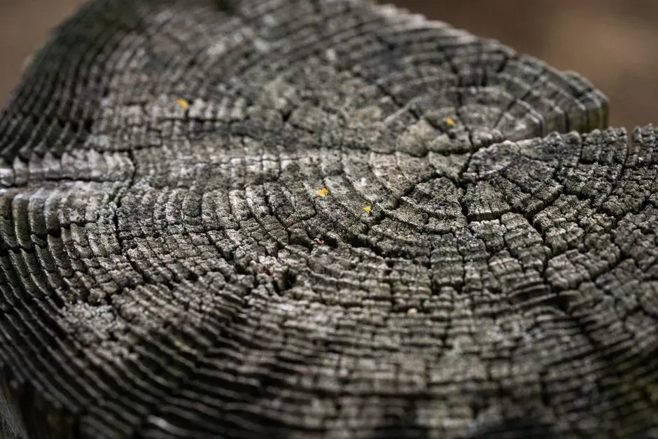
Most people assume hurricane history only goes back as far as satellite imagery. That’s a massive underestimation – and honestly, one of the more debated claims in climate reconstruction circles. Trees may hold storm records reaching back centuries before organized meteorology ever existed.
Before roughly 1900, systematic hurricane records are fragmentary almost everywhere, relying heavily on ship logs and old news accounts – which is exactly why researchers went looking for natural proxies of tropical cyclone activity instead. The urgency behind this research wasn’t academic curiosity. It was necessity, sharpened by the brutal 2004 and 2005 North Atlantic hurricane seasons, which exposed just how thin the historical record really was.
The payoff was a genuinely new archive. A tree-ring oxygen isotope proxy, built from remnant pine wood in protected areas of the southeastern U.S., now shows the potential for a tropical cyclone record stretching back many centuries.
We may be sitting on hurricane data older than the country itself, and it’s been growing in the ground the entire time.
#11 – Monsoon Strength, Tracked Season by Season Across Continents
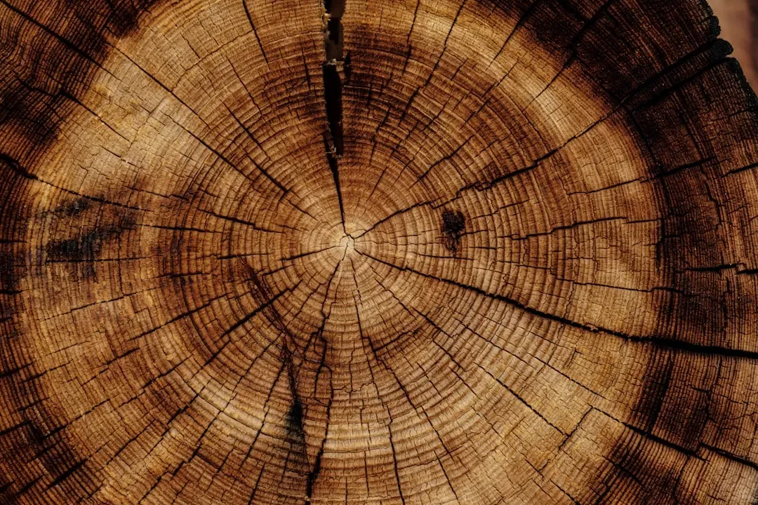
It’s not just Atlantic hurricanes. Halfway around the world, trees have been silently logging the strength of an entirely different weather system – the Asian monsoon – with a precision that surprised even the researchers involved.
A 338-year oxygen isotope record pulled from teak tree-ring cellulose in northwestern Thailand preserves the isotopic fingerprint of regional wet-season rainfall and humidity. That’s over three centuries of monsoon behavior, recorded without a single rain gauge involved.
The correlation to real climate drivers turned out to be remarkably strong. Spatial correlations and spectral analyses revealed a clear connection between the El Niño-Southern Oscillation and tree-ring oxygen-18. Even historic droughts showed up cleanly – a notable 19th-century dry stretch in the wood matched known regional drought events almost exactly.
The tree wasn’t just recording rainfall – it was quietly logging one of the most complex ocean-atmosphere climate patterns on Earth.
#12 – The Little Ice Age, Traced Through Frozen Sunlight
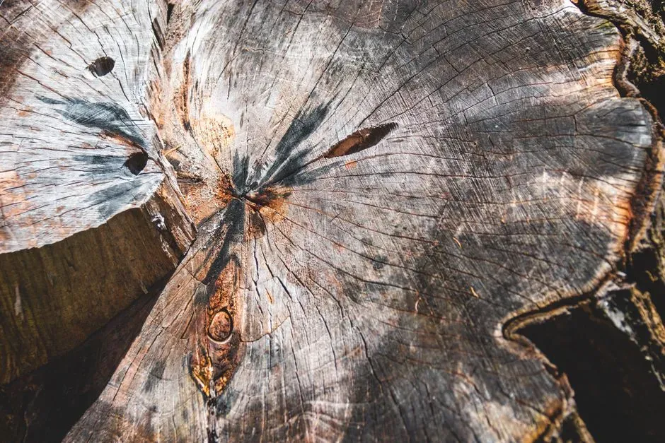
Most people think of the Little Ice Age as a European folk memory – brutal winters, frozen rivers, famous paintings of ice-skating on canals. But trees turned that folklore into hard, quantified data by recording the sun’s own quiet periods.
Grand solar minima – stretches of unusually low solar activity – show up as large peaks in the ancient carbon-14 record. The period from the late 13th century to the early 19th century, broadly known as the Little Ice Age, actually contains four distinct solar downturns: the Wolf, Spörer, Maunder, and Dalton minima.
Modern researchers have gone even further, extracting cyclical rhythms from the noise. The stretches when sunspots were scarce, especially during the Spörer, Maunder, and Dalton minima, are clearly visible in the tree-ring record.
Trees essentially recorded the sun having a bad four centuries – and we only figured out how to read the notes recently.
#13 – The Drought That Ended a Civilization
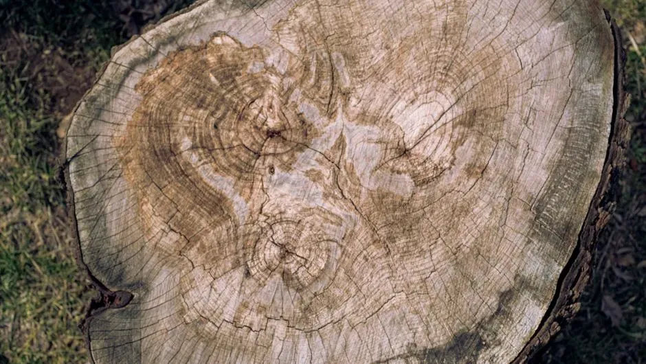
Save the biggest for last. If any single tree-ring discovery deserves to be called shocking, it’s this one: dendrochronologists didn’t just find evidence of a bad drought season. They found evidence of a climate event so severe it appears to have forced an entire society to abandon their home.
The tree-ring record revealed a great drought across the entire Southwest around 1150 AD – one severe enough to force the Ancestral Puebloans to abandon Chaco Canyon. No written record exists describing it. No instrument could have measured it.
This finding wasn’t a one-off fluke, either. In the Southwest, where the arid climate preserves dead wood for centuries, scientists have extended the dendrochronological record nearly 1,300 years into the past, revealing that chronic drought has been a natural, recurring feature of the region throughout history.
That deep archive now does something instrumental records alone simply cannot. By understanding what the climate looked like in the past, scientists have been able to show how human-caused climate change is pushing conditions outside their natural range of variability. The only reason we know Chaco Canyon’s story at all is because trees quietly kept score.
The Bottom Line
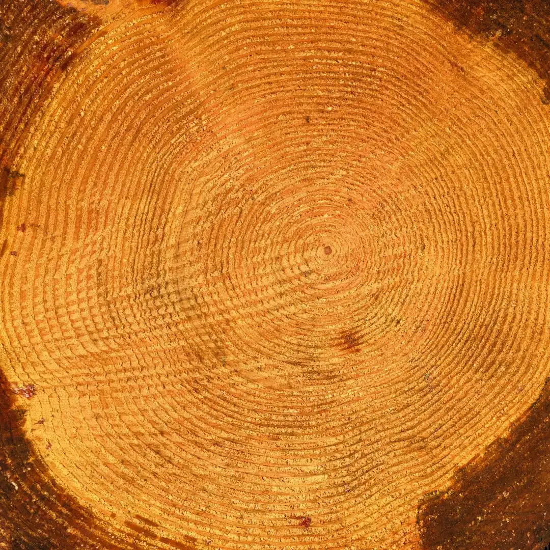
Trees were never passive scenery. They were recording frost from distant volcanoes, chemical fallout from eruptions, the sun’s quiet tantrums, individual hurricanes, monsoon seasons, and droughts that toppled civilizations – all while human instruments were centuries away from existing.
The most controversial part isn’t that trees recorded this data. It’s that we ignored it for so long, treating “official” weather records as if they started the clock on climate itself. They didn’t. The clock started growing rings long before anyone thought to measure the wind.
Which of these thirteen discoveries surprised you the most – the solar storms, the buried hurricanes, or the drought that emptied Chaco Canyon? Drop your pick in the comments.