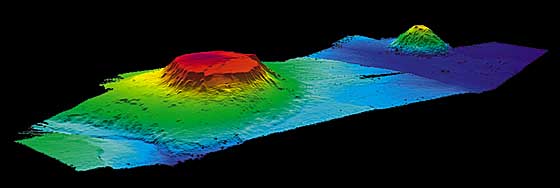
If you think we have the ocean all figured out, you’re in for a shock. The deeper scientists look, the more they keep stumbling over seafloor features that simply do not fit neatly into the usual boxes of “natural geology” or “human-made junk.” Some of these formations look eerily geometric, others look like half-finished construction projects, and a few feel like nature itself is trolling us.
What makes it even more fascinating is that oceanographers, who are normally quite cautious and conservative, openly admit that in some cases they just do not know which side of the line these things fall on. Are they strange products of currents and chemistry, or were they shaped or triggered by human activity we have forgotten or failed to document? Let’s dive into thirteen of the most baffling examples that keep the debate alive.
#1 The Baltic Sea “Anomaly” That Looks Like A Crashed Object
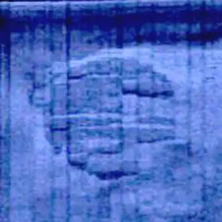
Few seafloor discoveries have caused as much heated argument as the so‑called Baltic Sea anomaly. Side‑scan sonar images show a roughly circular, terraced structure sitting on the seafloor with what looks like a “track” stretching behind it, as if something had skidded to a halt. When you first see the images, your brain instantly jumps to a crashed craft, a stone building, or some kind of deliberately carved monument.
Geologists who have examined the limited sampling suggest it is likely a glacial or sedimentary formation, shaped by ice sheets and currents over long time scales. But even within the scientific community, not everyone is convinced the story is that simple, because the object’s stepped edges and apparent right angles create a visual illusion of design. The honestly uncomfortable middle ground is that, with the data we have, no one can fully prove it is either a pure product of geology or the remains of human engineering, and that unresolved tension is exactly why it still shows up in conferences and quiet lab conversations.
#2 Perfectly Straight “Roads” On The Abyssal Plain
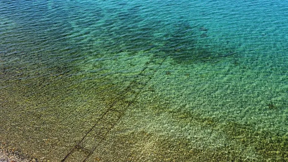
When high‑resolution seafloor maps started coming online, researchers began noticing long, ruler‑straight lines cut across otherwise smooth abyssal plains. Some look like endless highways or runways stretching for many kilometers, defying the chaotic vibe we usually expect from submarine terrain. On social media you’ll see them confidently labeled as ancient roads or megastructures, but the reality is trickier and more annoying.
Oceanographers know that some of these lines are actually artifacts from sonar mapping – gaps or seams where different passes stitched together. But that explanation does not comfortably cover every case, especially where physical ridges and grooves clearly match those lines on later surveys. Are we seeing the subtle imprint of deep‑sea currents, cable‑laying tracks, or something else entirely? The honest answer is that in more than a few spots, the experts shrug and file them under “unclassified linear features,” which is a very polite way of saying: we are not ready to say natural or manmade yet.
#3 The “Bimini Road” Style Blocks In Shallow Tropics
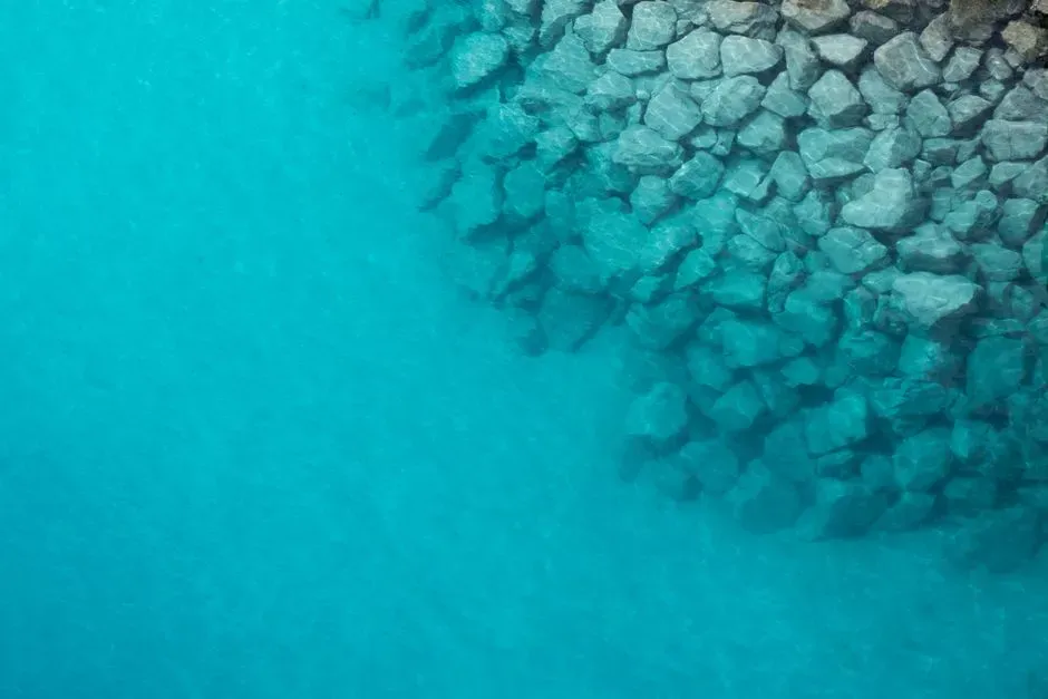
In several warm, shallow‑water regions, divers and survey teams have found rows of stone blocks that look uncannily like weathered pavements. The most famous example is often called the Bimini Road: a formation of large, flat stones arranged in a rough line that people have argued about for decades. Stand above it in clear water and it is hard not to see a broken causeway or harbor wall from some lost coastal settlement.
Geologists have long pointed to natural jointing and the way limestone breaks into regular slabs, arguing that coastal erosion can arrange these blocks into patterns that trick the human eye. Yet even some specialists quietly admit that certain segments feel too tidy, too aligned, as if nature and time had a helping hand. The compromise position that many oceanographers take is that these formations are probably geological at their core but may have been tweaked, exploited, or rearranged by past human communities in ways we have not fully documented.
#4 Symmetrical “Mounds” Around Hydrothermal Fields
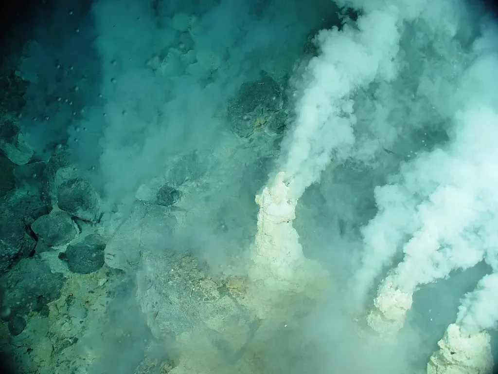
Hydrothermal vents already feel alien enough: black chimneys spewing mineral‑rich fluids, strange creatures clustering around them like campfires in the deep night. But around some vent fields, researchers have mapped low, nearly symmetrical mounds arranged in rough arcs or clusters. Viewed in 3D sonar, these mounds sometimes resemble domes or engineered berms carefully placed around the vent zone.
One camp argues they are simply the products of mineral deposition, gravity slides, and the way hot fluids interact with soft sediment. Another camp points out that the spacing, size regularity, and occasional ring‑like patterns look disturbingly intentional, like some kind of defensive works or foundation pads. No one is claiming deep‑sea civilizations, but the question of whether these shapes are purely emergent geology or perhaps modified by human industry – mining tests, dumping, or drilling experiments – is still unresolved in certain sites where historical documentation is thin.
#5 Grid‑Like “City Blocks” Carved Into Continental Shelves
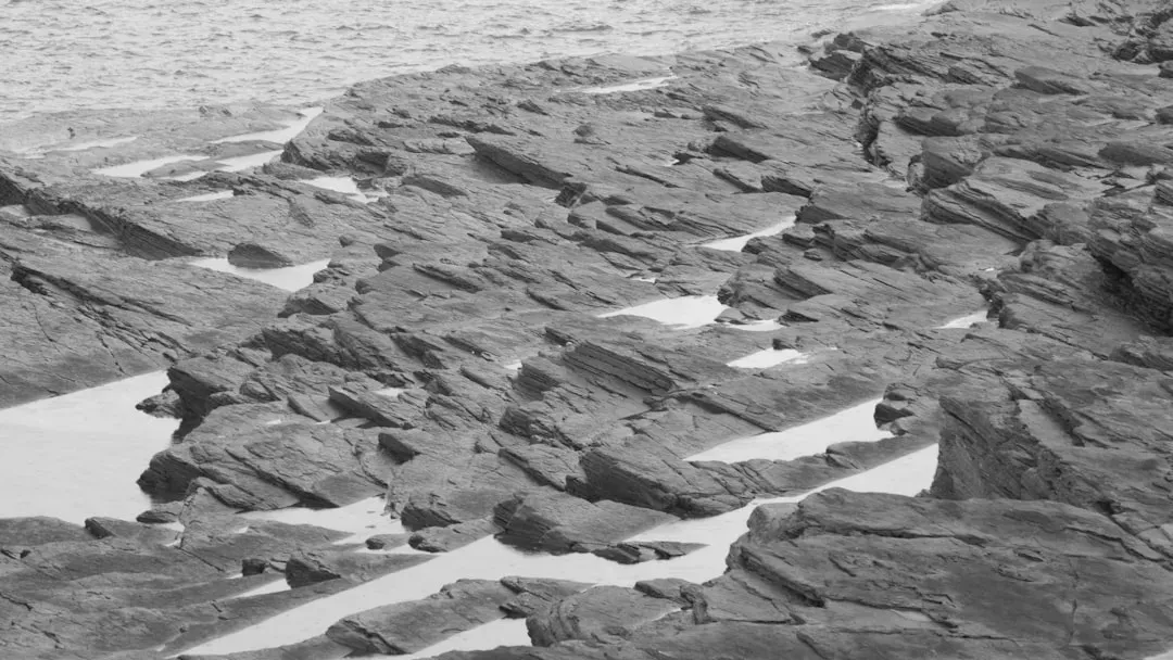
Continental shelf regions have been mapped more intensively than the open abyss, largely because that is where we put cables, pipelines, and offshore infrastructure. In some of those maps, oceanographers have spotted patches of seafloor cut into what look like grid patterns: rectangular depressions and raised areas, almost like somebody took a city map and pressed it into the sediment. The effect is especially eerie when the “blocks” appear to line up with what used to be ancient coastlines during lower sea levels.
There are plausible natural candidates, from polygonal cracking of sediments to the influence of repeated wave action and subsidence along faults. But overlay human activity on top – dredging, trawling, cable trenching, and test excavations – and it becomes next to impossible to declare any particular grid as purely natural or purely anthropogenic. Many oceanographers have simply stopped trying to give them a single label, preferring to treat them as hybrid landscapes shaped by both deep time and a couple of frantic centuries of industrial meddling.
#6 Massive “Steps” And Terraces On Seamount Slopes
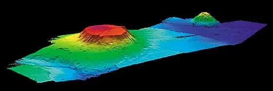
Seamounts, the underwater mountains that rise from the deep, often show layered terraces that look like giant staircases. Some of those steps can be hundreds of meters wide and surprisingly flat, stacked in clean tiers as they descend into darkness. From a shipboard monitor, the profile can look like the side of a colossal amphitheater or a ziggurat sunk into the abyss.
The mainstream geological model says these terraces mostly form from ancient changes in sea level, wave erosion, and episodes of volcanic activity. Still, what keeps sparking debate is how sharply defined some of the edges appear, and how uniform the terraces can be in height across large distances. Add in the fact that seamounts sometimes attract human activity – cable routes, fishing fleets, experimental platforms – and it becomes tempting to see the terraces as modified or exploited by people at some stage. In practice, oceanographers often leave the door open, acknowledging that natural processes probably did the heavy lifting, but refusing to completely rule out smaller‑scale human reshaping in certain sectors.
#7 “Craters” That Might Be Explosions…Or Not
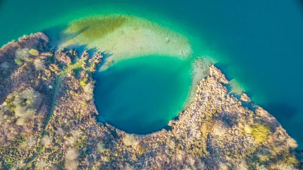
On various continental margins, surveys keep turning up bowl‑shaped depressions that look exactly like blast craters or bomb impacts. They can appear alone or in clusters, sometimes with raised rims and disturbed sediments around the edges that strongly resemble explosive signatures. During the Cold War, a lot happened at sea that was classified, which only adds to the suspicion that some of these features might be leftovers from underwater tests or accidents.
On the other hand, natural processes like gas blowouts, methane hydrate destabilization, and slope failures can create very similar shapes. Without core samples, dating, and clear historical records, you end up in a frustrating gray zone where multiple explanations fit the same evidence. Many oceanographers, especially those who are younger and less tied to old secrecy, openly admit that they cannot give a clean answer for every crater they map; in some areas, the safest thing they can say is that both geology and human explosives are viable candidates.
#8 Linear Rows Of “Boulders” Beside Old Ship Routes
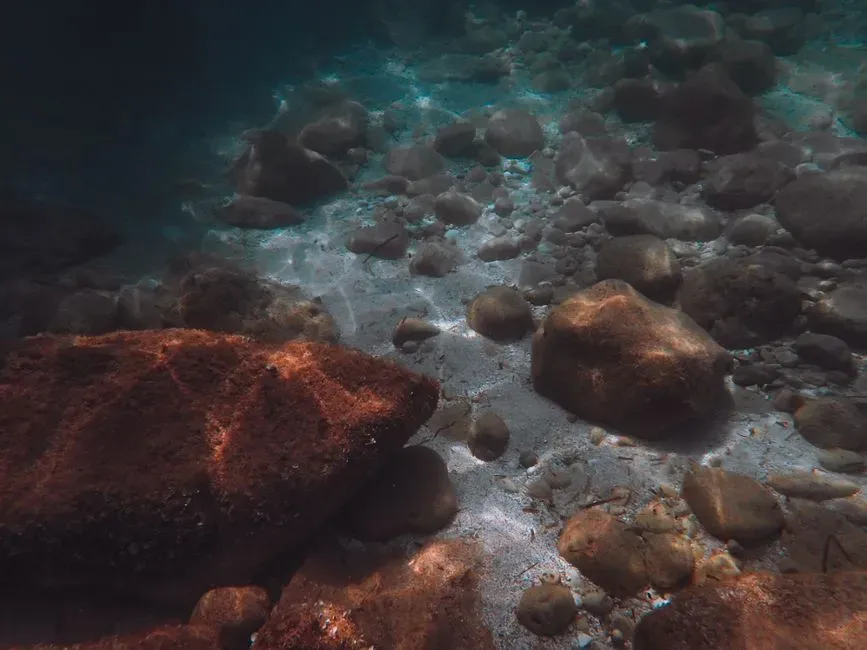
In several busy shipping lanes, side‑scan sonar has shown curious rows of large objects – boulders, or at least boulder‑sized returns – marching along the seafloor parallel to old navigation routes. At a glance they look like the kind of rock berm a construction crew would place to stabilize a road shoulder. But these are hundreds of meters down where no one is building scenic highways.
It is entirely possible that some of these rows are the result of natural sediment transport, where currents preferentially leave coarser material behind in neat patterns. Yet when the spacing of the objects looks suspiciously regular, the mind naturally drifts to more deliberate explanations: ballast stones systematically dumped over decades, lost cargo, or even failed engineering projects that were never widely reported. Oceanographers who work with historical data sets often walk away from these sites unwilling to declare them fully natural or purely human; they are best viewed as messy palimpsests where both nature and maritime history left their marks.
#9 Perfect Circular “Holes” In Otherwise Flat Sediment
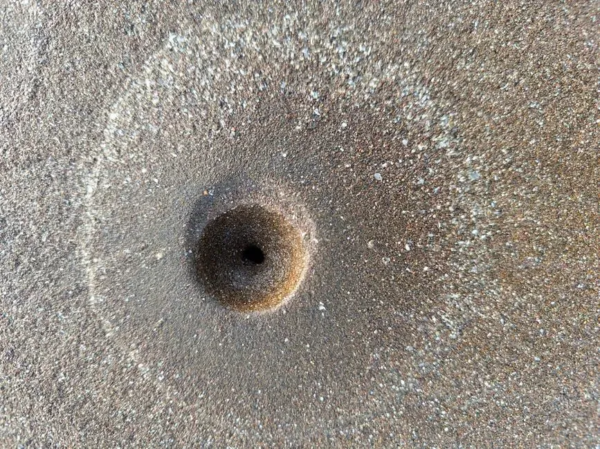
One of the strangest recurring sights in deep‑sea imagery is the isolated, near‑perfect circle cut into soft sediment. Sometimes these holes are only a few centimeters across, other times they are big enough to swallow a person. They often appear in chains or clusters, with no obvious animal burrows, cables, or geological structures nearby that would neatly account for them.
Biologists have proposed burrowing organisms, gas seeps, and even feeding behaviors of unknown species as explanations. Engineers point out that certain drilling and sampling tools can leave similar marks, especially when used in surveys that were never fully logged or whose records were lost. The uncomfortable outcome is that a given circle on the seafloor could be either a completely natural biological trace or the ghost of someone’s forgotten experiment. With limited context, many oceanographers simply catalog them as “circular depressions” and resist the pressure to choose one label over the other.
#10 Submerged “Walls” Shadowing Fault Lines
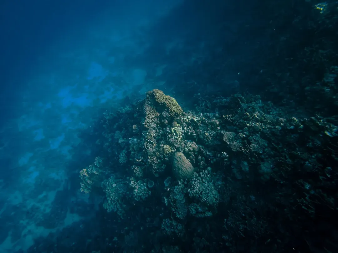
In tectonically active zones, mapping teams have stumbled on what look like long, linear walls standing slightly proud of the surrounding seabed. In plan view they track along known fault lines, like fences hugging a geological boundary. Some sections even show apparent corner turns or intersections, which is probably the fastest way to make any geologist frown and zoom in.
The mainstream view is that these “walls” are fault scarps: the surface expression of the earth’s crust moving, where one side of the fault has lifted relative to the other. However, the visual similarity to human walls and embankments has fueled persistent speculation that some segments may have been enhanced or modified by coastal societies back when sea levels were lower. Because the exact age and formation history can be agonizingly hard to pin down, oceanographers often end up giving mixed explanations, acknowledging strong evidence for tectonic origins but not fully dismissing the possibility of human interaction on top of that template.
#11 Lattice‑Patterned “Pavements” Of Polygonal Cracks
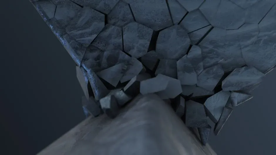
Polygonal cracking in mud and sediment is a well‑known natural process – you can see it in dried‑out lakebeds on land. On the seafloor, however, some of these polygon fields reach astonishing scale, creating a kind of tiled pavement that stretches for kilometers. When viewed in sonar relief, the repeating hexagon‑like pattern can look artificial, like some vast engineered surface designed for purposes we do not understand.
Geophysicists typically attribute these patterns to slow contraction, dewatering, or ice‑related processes in the sediment over long time frames. The trouble comes when the pattern is unusually symmetrical or sharply defined, to the point that it resembles poured slabs with joints rather than just shrinkage cracks. At that point, even level‑headed oceanographers will admit that if you showed them the same image without context, they might guess it was a human industrial site. That uneasy overlap is exactly why some labs keep revisiting these locations, trying to refine models without overpromising certainty.
#12 Buried “Megastructures” Revealed Only In Subsurface Scans
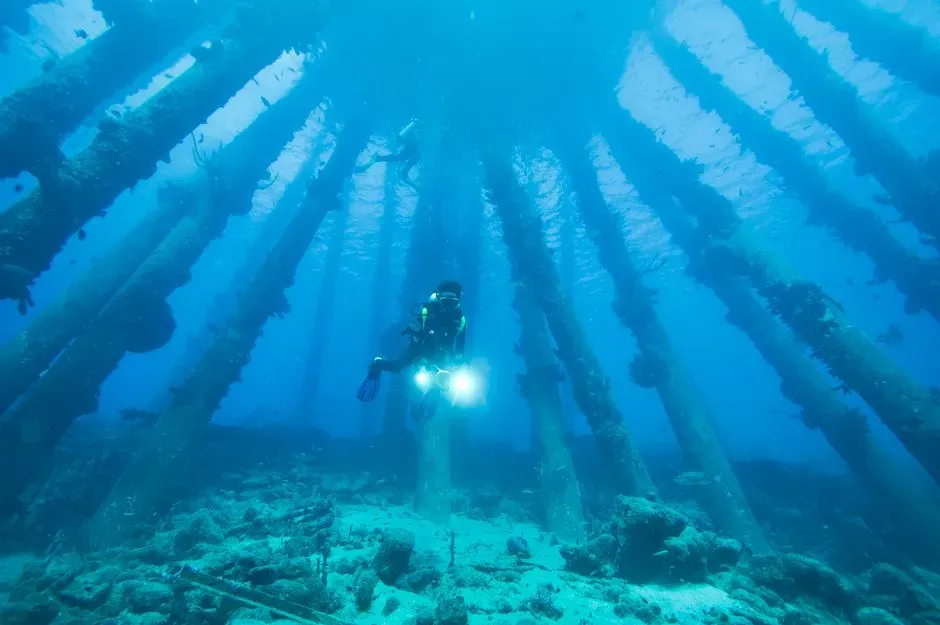
Modern tools allow scientists to see not just the surface of the seafloor but the layers beneath it. In some areas, sub‑bottom profiles have revealed huge, blocky shapes buried under meters of sediment, aligned in ways that do not scream random. Think of it like an X‑ray showing something boxy and organized under an apparently flat skin. The temptation to leap straight to tales of lost cities is very strong, especially in regions that once hosted dense coastal populations before sea levels rose.
Sober researchers are quick to point out that lava flows, layered sediment packages, and collapsed carbonate platforms can all look oddly architectural when sliced by acoustic imaging. At the same time, it would be naive to pretend we have a complete archaeological record for every drowned shelf and estuary on the planet. Many oceanographers take a cautious middle path: they treat these subsurface shapes as geological until proven otherwise, but they do not pretend that the question of human influence is closed, especially where known prehistoric or early historic cultures lived along now‑submerged coasts.
#13 Strange “Patterns” That Turn Out To Be Both Artifact And Reality
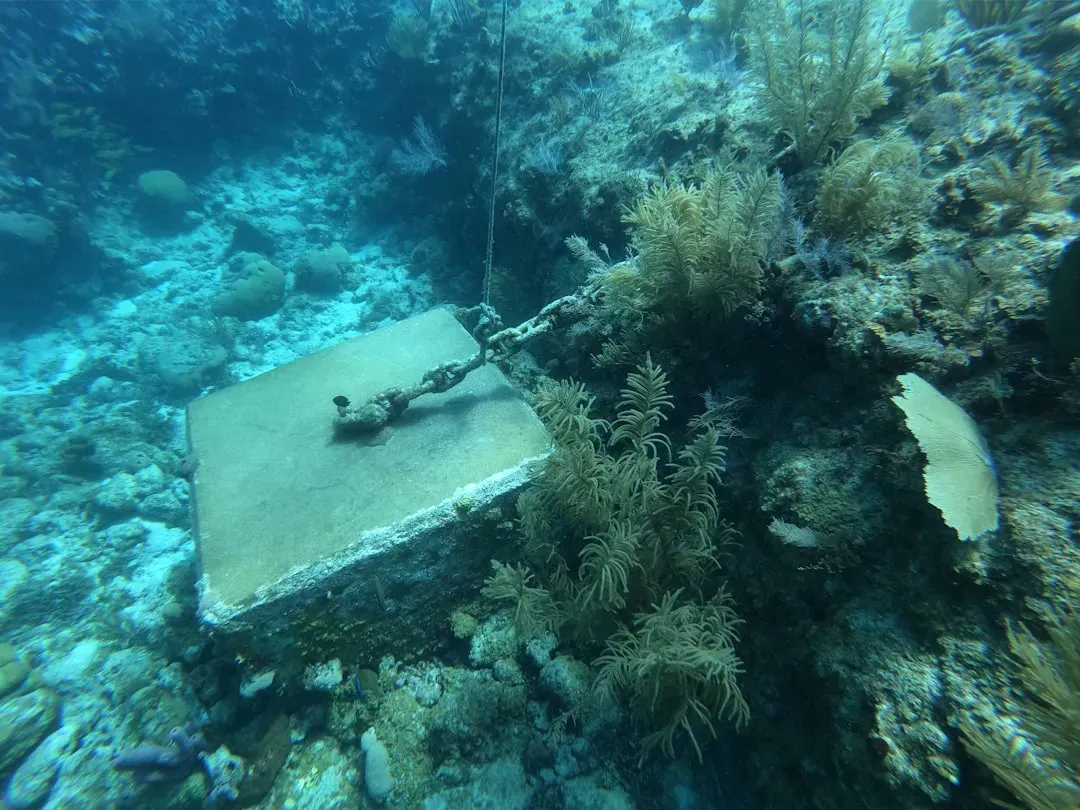
One of the most humbling categories of all is when a suspicious pattern turns out to be partly in the seafloor and partly in the tools we use to see it. Repeated stripes, grids, or spiral features sometimes emerge from how a sonar system was run, how data were processed, or how different passes were merged. At the same time, those artificial symmetries can overlay real geological or human structures underneath, creating a visual mash‑up that is nearly impossible to untangle by eye.
Oceanographers often discover that the more they clean and reprocess data, the more ambiguous some formations become: a supposedly perfect square dissolves into a natural knoll plus survey noise, or a “road” breaks into scattered dunes and a cable scar. Instead of making things simpler, better technology sometimes just reveals extra layers of uncertainty. Many experts have come to accept that some seafloor features genuinely live in an in‑between category, shaped by both natural forces and human actions, and further distorted by the quirks of our instruments.
Conclusion: The Ocean’s Messy Middle Ground
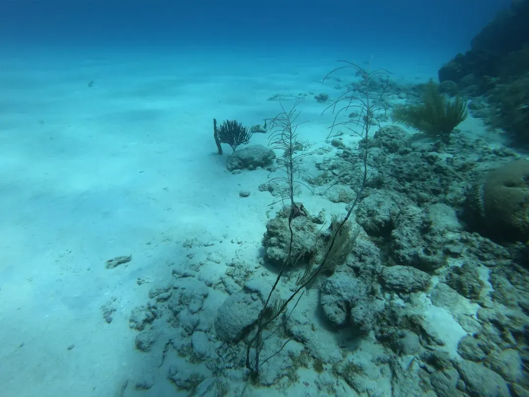
When you look honestly at these thirteen examples, a pattern emerges that is more interesting than any single mystery structure. The seafloor is not a pristine, untouched canvas, nor is it a neatly documented archive of human construction; it is a chaotic, overlapping story where geology, biology, engineering, and our own technical limitations all collide. The most honest oceanographers are the ones willing to say, out loud, that some formations cannot yet be cleanly labeled natural or manmade – and may never be.
Personally, I find that uncertainty thrilling rather than frustrating, because it forces us to stay humble about what we know and brutally honest about what we do not. Instead of rushing to romantic tales of civilizations or sterile dismissals of every odd shape as “just rocks,” the wiser path is to accept that the deep sea is still writing its own script right under our feet. As we map more of the ocean with better tools, the real question is not whether we will find proof that everything is natural or everything is engineered, but whether we are ready to live with a world where the truth is far messier. Did you expect the seafloor to be this stubbornly mysterious?