GPS satellites. Laser total stations. Drone mapping. Modern road crews have more precision technology in one truck than an entire Roman legion ever touched, so it should be almost impossible for a 2,000-year-old road to out-align a 2024 highway. And yet surveyors keep running into the same awkward discovery when they overlay old routes on modern GIS software: a shortlist of ancient roads are measurably, stubbornly straighter than what today’s engineers are even permitted to build.
This isn’t nostalgia or wishful thinking about “the wisdom of the ancients.” It’s cold geometry, checked against satellite imagery and real survey data, and it exposes something uncomfortable about modern road-building: we don’t build straighter roads not because we can’t, but because budgets, politics, and liability won’t let us. Here are the 13 ancient roads that quietly humble modern surveying – starting with one most people think they already know.
#13 – The Via Appia (Italy): Rome’s “Queen of Roads” That Still Shames CAD
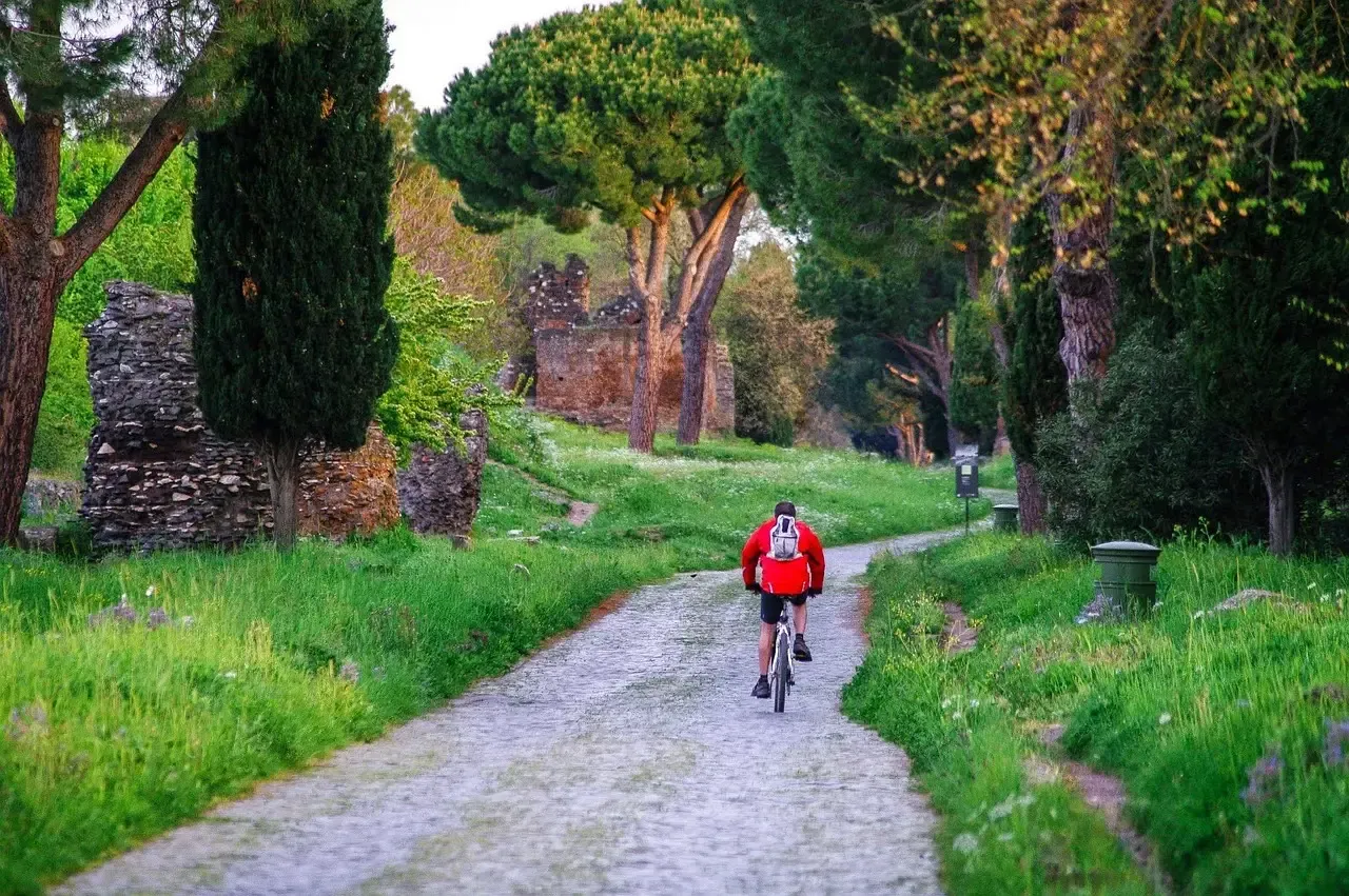
On paper, the Appian Way should look primitive next to a modern interstate. In practice, plenty of working surveyors admit its long, unwavering stretches would give a 21st-century road crew a genuine headache to replicate.
Built starting in 312 BCE, sections of the Via Appia track so straight across rolling terrain that the lateral deviation over several kilometers is often smaller than what many modern rural roads achieve with full instrumentation. Roman engineers essentially drew a giant outdoor laser line using stone sighting pillars called gromae and chains of intervisible hilltops and towers.
Fast Facts
- Construction began in 312 BCE under the Roman censor Appius Claudius Caecus.
- The original stretch ran about 132 miles (212 km) from Rome to Capua.
- Later extensions pushed the total route past 360 miles (582 km), reaching Brindisi.
- Ancient writers nicknamed it “Regina Viarum” – the Queen of Roads.
- Stone sighting pillars (gromae) locked in fixed reference points.
- Chains of intervisible hilltops and towers kept the line honest over long distances.
Instead of softening the alignment to dodge properties, utilities, or design committees, Roman crews forced the landscape to bend to the geometry – cutting, filling, and bridging whatever stood in the way. That ruthlessness is exactly why the Appian Way still reads like a ruler-stroke across the Italian countryside.
#12 – The Fosse Way (Britain): The Roman Line That Barely Blinks
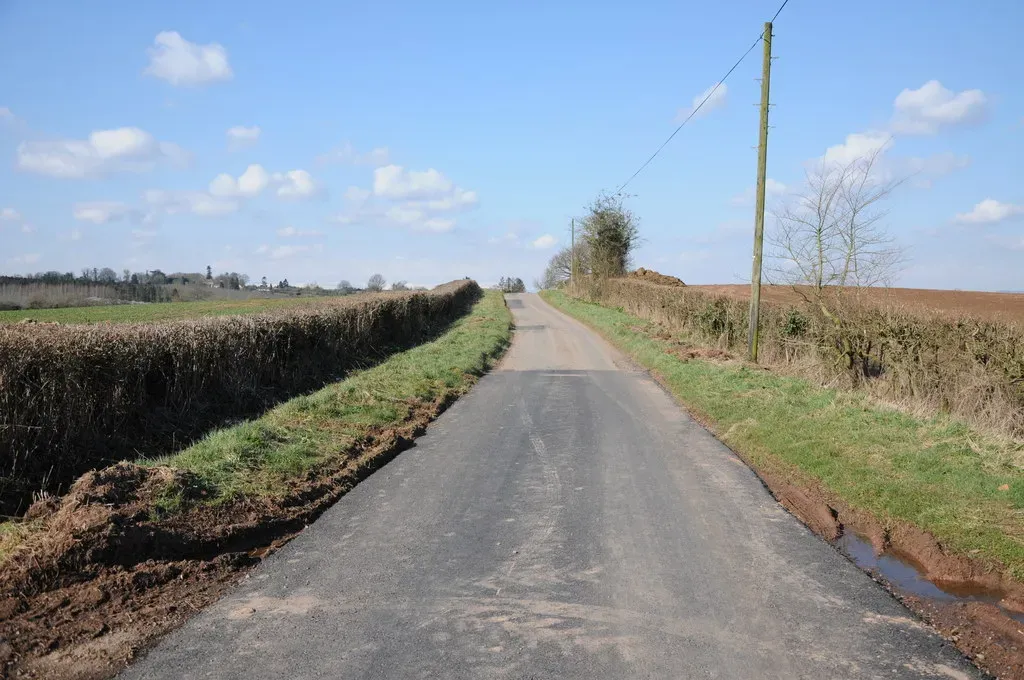
Most people assume the straightest long road in Britain came from Ordnance Survey engineers with modern instruments. It didn’t. It’s the Roman Fosse Way, and it still stops working surveyors mid-sentence.
Over major stretches of its roughly 370 km run from Exeter to Lincoln, the Fosse holds alignments that stay inside a narrow corridor of straightness for tens of kilometers at a stretch. Long tangents link visible high points across the horizon, and the rare bends only appear where something unavoidable – a river, a major junction – forces the issue.
- Long tangents connect visible high points over the horizon.
- Bends occur almost exclusively at river crossings or essential junctions.
Modern rural roads tend to meander around parcels, utilities, and speed-safety compromises, chipping the alignment apart piece by piece. The Fosse Way shows what happens when an empire can simply declare: this is the line, everything else moves out of the way.
#11 – The Groma Lines of Roman Military Roads in Gaul
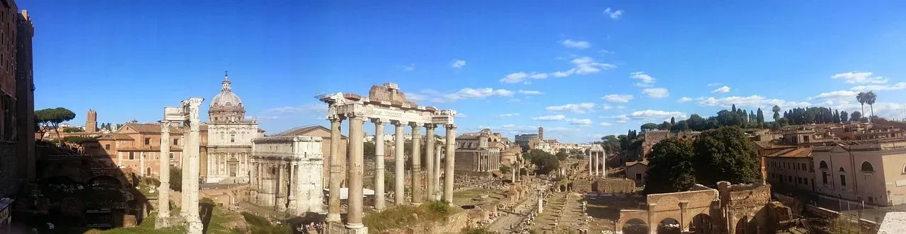
Ask a field surveyor who’s walked Roman road embankments in France what strikes them most, and the answer is almost always the same word: aggressive. The straightness feels aggressive, even today.
Roman crews in Gaul relied on a deceptively simple tool called the groma – essentially crossed sight-lines mounted on a vertical staff. With nothing more than that, they could establish right angles and dead-straight lines across open country with repeatable accuracy that some modern crews only match using laser levels.
- Crews planted interim poles along the sight-line and “walked” the straight line forward step by step.
- Side roads were set out by turning exact right angles off that main line.
No complex optics, just brutal discipline. Today’s design software often produces beautifully straight corridors on-screen – until politics, land access, and budget revisions twist them into something else entirely.
#10 – The Inca Road Segments in the Sacred Valley (Peru)
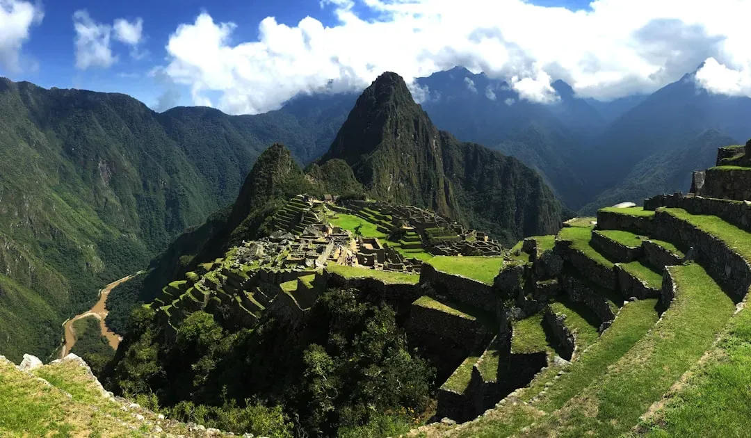
It shouldn’t be possible, but some Inca road segments in Peru’s Sacred Valley run so straight, at such punishing altitude, across such brutal terrain, that modern engineers privately admit they’d probably “value-engineer” the route into curves if the project landed on their desk today.
The Inca had no wheels and no metal surveying gear, yet they kept alignments locked onto a bearing over mountain shoulders and valleys with deviations so small they’re difficult to spot on the ground. Their secret wasn’t gadgets. It was clear-air sight-lines between ridges and sacred peaks, or apus, with the straightness carrying religious weight as much as logistical value.
- Builders exploited clear-air sight-lines between distant ridges and sacred peaks.
- Alignments doubled as ritual sight-lines, adding spiritual stakes to geometric precision.
Modern projects rarely justify that level of geometric purity when every extra cut or retaining wall costs millions. The Inca had generations of forced labor and centuries of patience; the payoff is a straight line that simply ignores topography in a way no modern highway department would ever sign off on.
#9 – The Nazca Processional Tracks (Peru): Beyond the Famous Lines
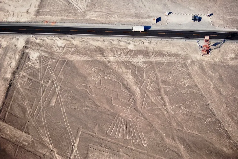
Everyone knows the Nazca geoglyphs from postcards and documentaries. What most people miss is the quieter feat hiding around them: long, ruler-straight tracks scraped into the desert floor that functioned like ceremonial roads.
These weren’t just transport routes – some were processional lines – yet they’re so straight that over several kilometers you can see virtually no side-to-side wander, even plotted on modern satellite imagery. Builders were working across a vast, flat pampa with distant horizons, which is about as ideal as line-of-sight surveying gets, and the bone-dry climate preserved those cuts almost untouched for centuries.
At a Glance
- Created by the Nazca culture roughly between 500 BCE and 500 CE.
- Some straight lines stretch for several miles across the plateau.
- Lines were made by removing reddish surface pebbles to expose the pale ground beneath.
- The site was named a UNESCO World Heritage Site in 1994.
- A flat pampa with distant horizons made long sight-lines easy to hold.
- The arid climate preserved the straight cuts almost unchanged for centuries.
Modern access roads are usually set out “good enough” for short-term use, without any ambition toward laser-straight perfection. Nazca’s builders had the opposite mindset – when your only tool is a sight-line between two poles, you either get it right or the error is instantly visible.
#8 – The Royal Road of Darius (Persian Empire): Strategic Straightness
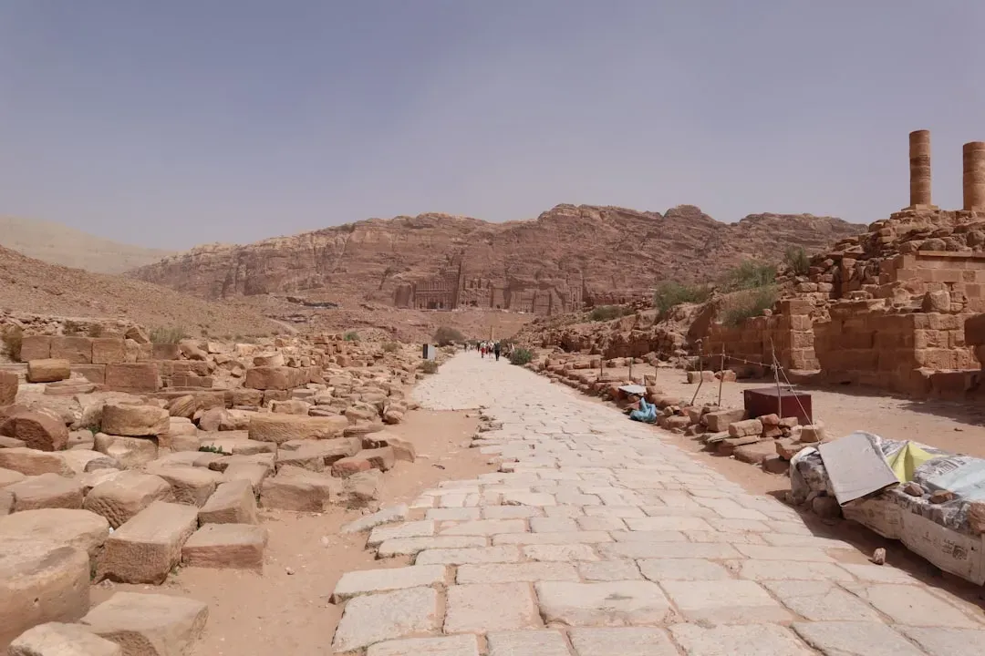
The Persian Royal Road wasn’t one unbroken laser line, but several of its reconstructed sections run straighter than most people would ever expect from a 2,500-year-old network built for horses, not vehicles.
Across Anatolia and Mesopotamia, planners chose alignments so that horse-messengers could cover vast distances without constant turning or correction, prioritizing directness over comfort. Relay stations were spaced specifically for speed, which pushed the whole network toward the most direct connections topography would allow.
- Relay stations were spaced to maximize speed, favoring direct routes.
- Where terrain permitted, long, nearly unbroken stretches linked major cities.
Modern road design optimizes for safety, grades, and land use ahead of pure straightness. The Persians were optimizing imperial communication and military reaction time instead, so the straighter line usually won – even across harsh terrain. Overlay some reconstructed segments on a modern map and the bluntness of the choice is almost embarrassing.
#7 – The Straight Drove Roads of Medieval England
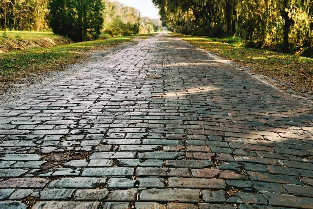
“Ancient” doesn’t only mean Bronze Age or Roman. Some of the most surprisingly straight historic routes in Britain are medieval drovers’ roads, built purely to move livestock efficiently across the countryside.
Across parts of southern and eastern England, long, ruler-like drove lanes still survive where hedge-to-hedge alignment barely wiggles over multiple kilometers, despite centuries of field reorganization around them. Many were laid along parish or estate boundaries, which naturally encouraged simple, straight demarcations rather than curves.
- Routes often followed parish or estate boundaries, encouraging straight lines.
- Moving huge herds efficiently favored straight corridors over scenic meanders.
Compare that to many contemporary farm and access roads, which snake around fragmented ownership and planning compromises. Surveyors have a running joke: the more committees in the room, the less straight the line becomes. Medieval drovers, armed with nothing but chains and eyeballs, often out-performed modern bureaucracy.
#6 – The Roman Roads of North Africa: Straight in the Desert
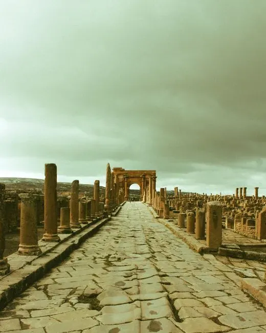
Most travelers assume the straightest Roman roads sit in Italy or Britain. They’re wrong. Some of the network’s most brutally straight stretches run across present-day Tunisia, Algeria, and Libya.
In these semi-arid plains, Roman engineers drove alignments between forts and wells that track so straight modern satellite images show them as faint, honest lines cut across the sand. Sparse settlement meant fewer property conflicts to route around, and clear skies with flat horizons made long-distance intervisibility easy to maintain.
- Sparse settlement meant fewer property disputes to negotiate around.
- Clear skies and flat horizons made long sight-lines practical for miles.
Ironically, modern desert roads can wander more, chasing oilfield pads, pipelines, and shifting dunes. Romans locked their alignments onto permanent installations – forts, cisterns, waystations – and refused to compromise. It’s a masterclass in “pick two fixed points and hold the line.”
#5 – The Grid Avenues of Teotihuacan (Mexico)
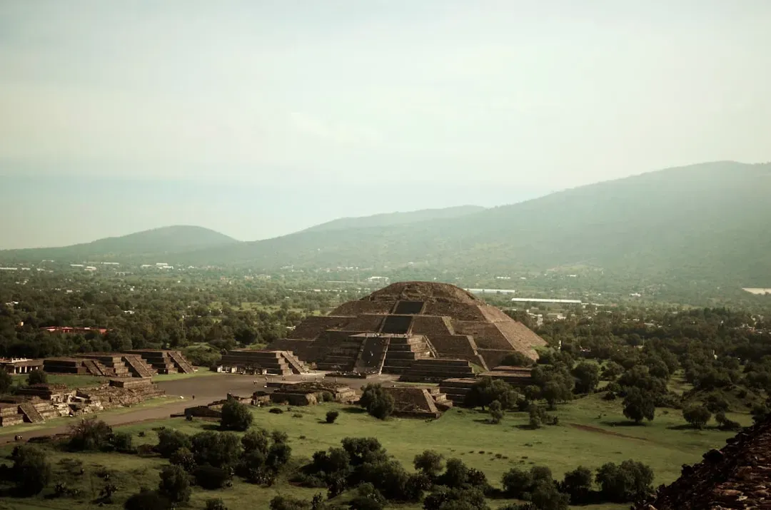
Teotihuacan isn’t remembered as a road project, but as a city, it’s basically one giant straight-axis experiment. The main Avenue of the Dead runs for more than 2 km on a remarkably consistent bearing, and the entire surrounding grid obeys that orientation with almost obsessive discipline.
For a pre-instrument culture, holding a monumental axis that straight while raising pyramids and platforms along it is borderline outrageous. The avenue sits offset from true north by a consistent angle, which strongly implies deliberate astronomical alignment rather than accident.
Why It Stands Out
- The Avenue of the Dead stretches roughly 2.4 km (1.5 miles) through the city’s core.
- Its orientation sits about 15.5° east of true north – a deliberate, repeated choice, not a slip.
- At its height, the city may have housed well over 100,000 residents, all living along that same axis.
- Major pyramids and platforms snap to the grid within just a few degrees of error.
- The avenue’s offset from true north suggests a deliberate astronomical alignment.
- Major structures “snap” to that axis with remarkably small angular errors.
Modern planners love to talk about “grid cities,” but real-world projects drift fast once parcels, obstacles, and politics creep in. Teotihuacan shows what happens when a civilization treats a chosen direction as sacred and bends every building to fit the line – never the other way around.
#4 – The Pharaohs’ Causeway Roads to the Pyramids (Egypt)
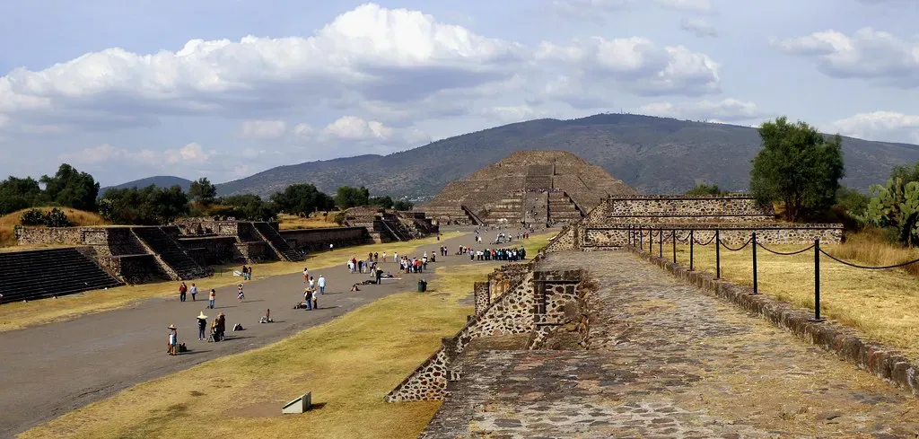
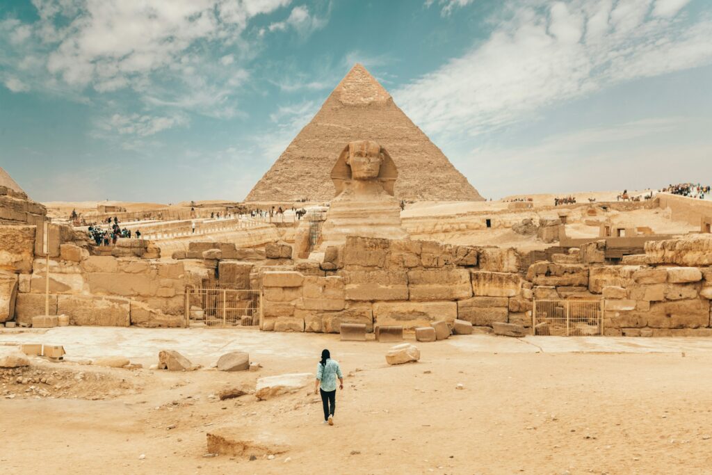
The pyramid causeways of Old Kingdom Egypt are short compared to a modern highway, but their straightness is brutal. These stone-paved roads linked valley temples to pyramid complexes, and they had to tie into baselines that were already hyper-accurate.
If the causeway’s angle drifted even slightly, it would show up visibly against the pyramid’s edges. Egyptian builders followed precise, unwavering alignments, and modern survey teams have found pyramid corner errors sometimes on the order of centimeters over more than 200 meters – a benchmark that still humbles professionals with total stations and GNSS.
- Pyramid corner errors sometimes measure only centimeters over 200+ meters.
- Causeways were integrated into that geometry directly, not appended as an afterthought.
Today’s engineers have far better tools, but they also juggle cost-cutting, contractor turnover, and schedule pressure that quietly erodes precision. Egyptian builders, working with sighting rods and plumb lines, accidentally set a straightness benchmark most modern access roads never even attempt.
#3 – The Long, Straight Segments of the Via Egnatia (Balkans)
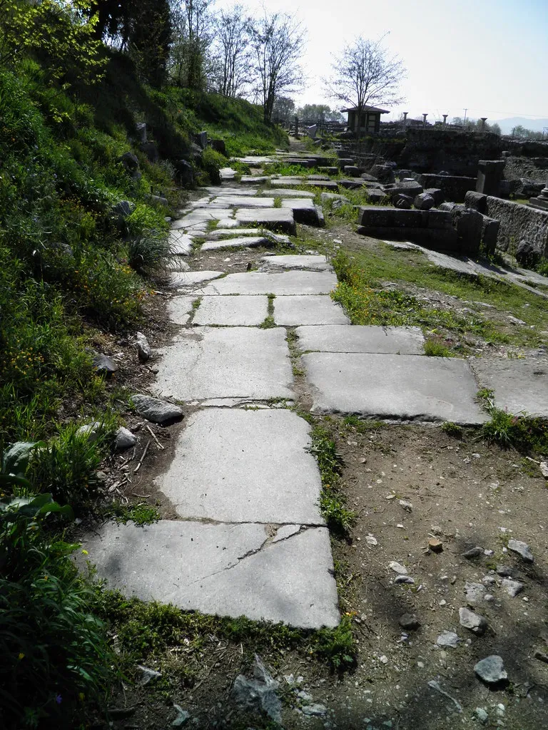
Crossing modern Albania, North Macedonia, and Greece, the Roman Via Egnatia stitched together a mountain-crossing corridor that still shapes transport routes today. Reconstructed segments show the same Roman obsession: long straight runs, broken only when a valley, ridge, or river crossing absolutely forced a change.
Survey-grade mapping reveals that most deviations along the route are crisp angular breaks, not casual drift. That distinction matters – it means engineers chose the break points deliberately rather than losing control of the line. Modern Balkan highways often end up parallel to, or directly over, these old Roman alignments, and where differences appear, they usually trace back to modern curve-radius standards rather than any lack of Roman capability.
- Many modern Balkan highways sit parallel to, or on top of, the old Roman route.
- Deviations from the ancient line often come from modern speed-curve standards, not surveying limits.
In blunt terms, the Romans weren’t limited by surveying precision here – they were limited by geology and imperial ambition. Where the land let them go straight, they did, with a rigor that challenges any assumption that today’s road grid is automatically “more exact.”
#2 – The Hyperstraight Bronze Age Trackways (Northern Europe)
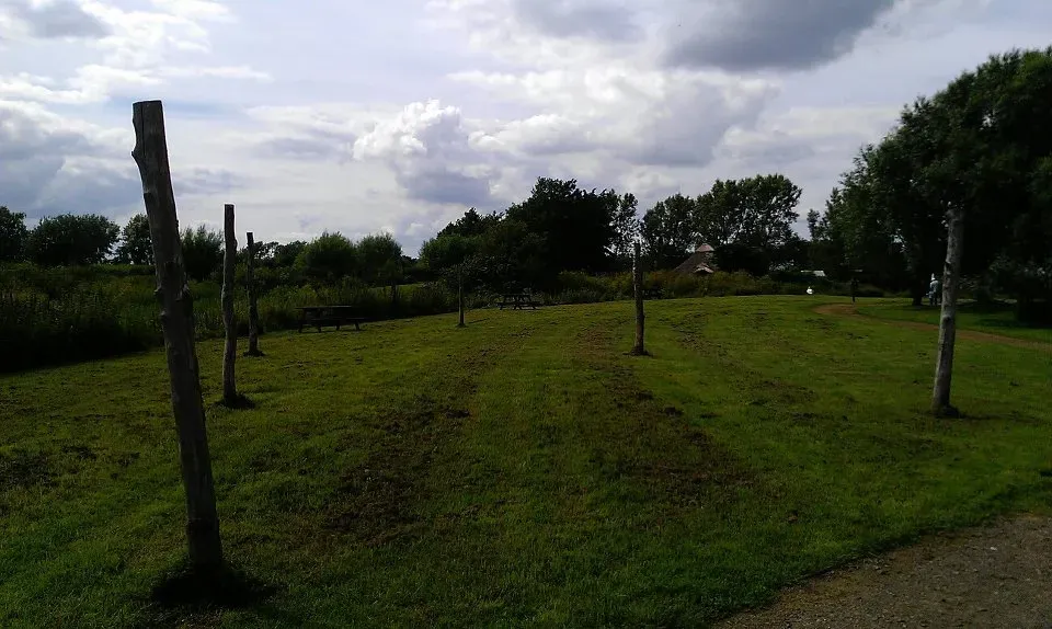
This one sparks real arguments, but many archaeologists and surveyors quietly agree on it anyway: certain Bronze Age trackways buried in peat bogs and lowlands across northern Europe show segments of startling straightness for how early they were built.
These weren’t roads in the Roman sense – they were plank causeways and raised paths laid across marshy ground, where any deviation risked sinking straight into the bog. Builders aimed from one visible landmark to another – a distant tree, a hill, a man-made marker – and with zero room for wandering, any curve simply meant more work and more risk.
- Builders sighted from landmark to landmark across open, marshy terrain.
- Curvature increased both labor and the danger of sinking into the bog.
Modern temporary access roads across wetlands are often thrown down fast, with just enough alignment to satisfy minimum spec. These prehistoric builders were staking survival and trade on staying dead on line. The paradox is hard to ignore: people with no metal tools sometimes produced straighter practical paths than modern crews deliver for short-term access today.
#1 – The Great Alignments: When Roads Shadow Megalithic and Temple Lines
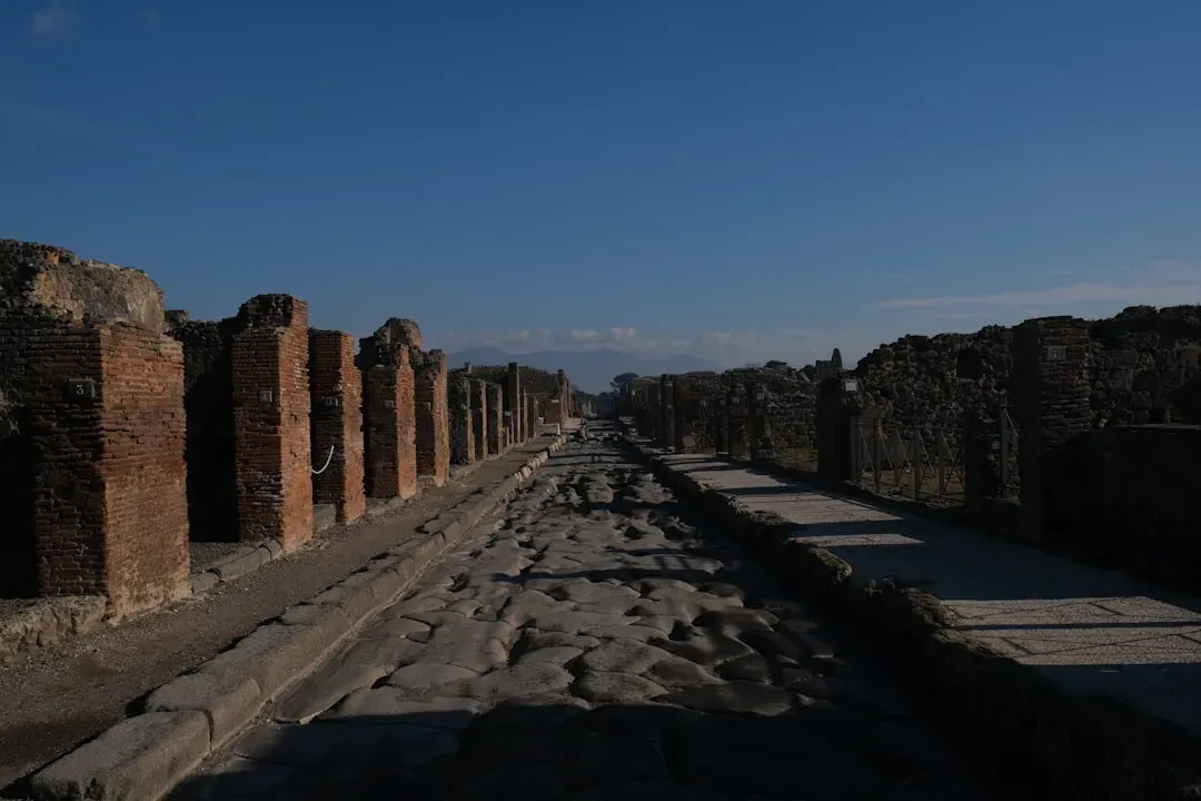
The most quietly unsettling discovery on this list isn’t a single named road – it’s a pattern. Many of the straightest “ancient roads” sit directly on top of, or shadow, older alignment traditions: stone rows, temple lines, processional routes whose bearings were locked in long before wheeled traffic ever existed.
When later societies built roads, they often “snapped to” these pre-existing straight lines the way a modern surveyor uses a known control point. Archaeoastronomers keep noticing Roman roads that align suspiciously well with older sacred or territorial lines, and medieval roads that simply follow prehistoric ridgeways already running remarkably straight. Straightness, in other words, wasn’t invented by any one culture – it was inherited, generation after generation, from lines people already considered sacred.
Worth Knowing
- Many Roman roads reused pre-existing prehistoric ridgeways instead of surveying fresh corridors.
- Archaeoastronomers have repeatedly documented Roman routes aligning with older sacred or territorial lines.
- Similar straight-line alignment traditions show up independently across unconnected ancient cultures.
- Medieval roads frequently inherited these older lines rather than plotting brand-new courses.
- Roman roads frequently align with older territorial or sacred lines already carved into the land.
- Medieval and early modern roads often follow prehistoric ridgeways that were already dead straight.
Here’s the uncomfortable implication for today: modern design is dominated by comfort, safety geometry, jurisdictional puzzles, and cost, so straightness is just one variable – and usually the first one sacrificed. Ancient builders treated straight lines as non-negotiable truths, cosmic or political, that you built around rather than adjusted for convenience.
The Bottom Line
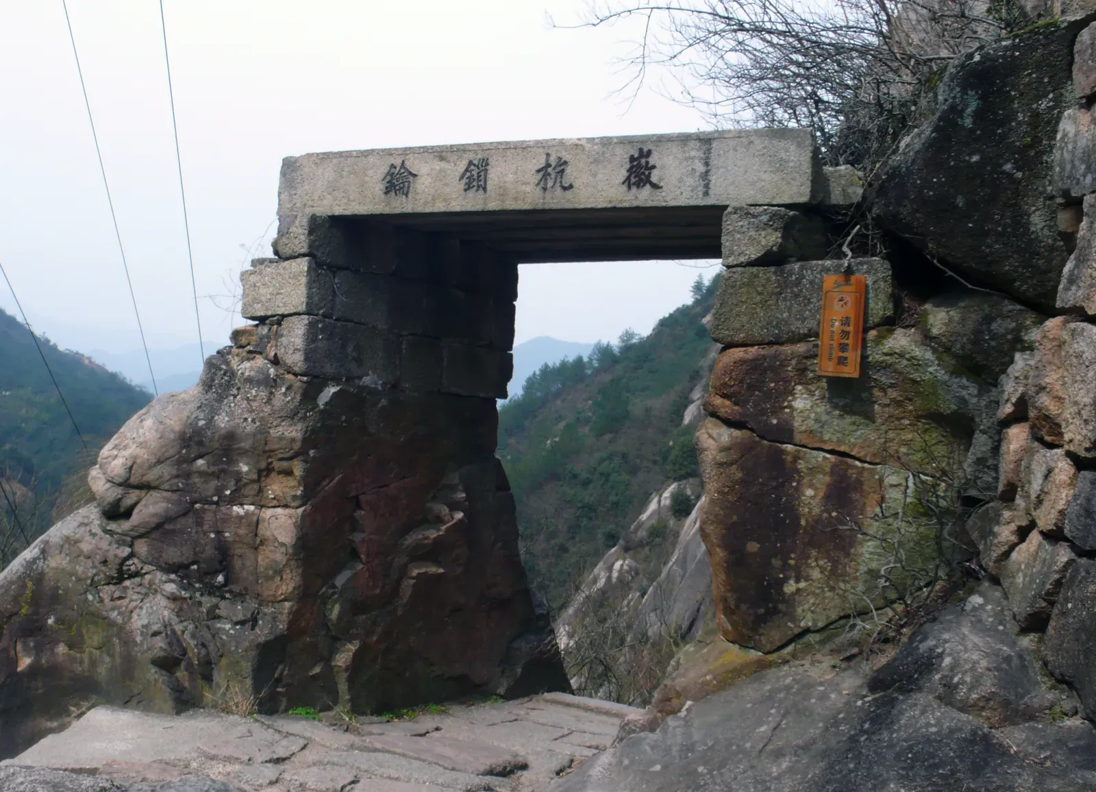
When surveyors actually overlay these ancient corridors on today’s mapping software, the story that emerges isn’t “look how crude they were.” It’s closer to: given their tools, the straightness they pulled off is borderline offensive to modern professional pride.
The Romans, Incas, Persians, Egyptians, and anonymous Bronze Age builders weren’t chasing aesthetics. They were enforcing hard, often sacred lines across the land in a way modern planners simply aren’t allowed to anymore.
Are contemporary methods capable of straighter roads? Absolutely. But under real project constraints – budgets, land rights, liability, endless committees – most alignments get intentionally softened before the first shovel ever hits dirt. That’s the uncomfortable truth hiding in all thirteen of these roads: they run straighter not because we can’t do better, but because, given the choice, we don’t.
Did we overrate modern engineering and underrate old-school line-of-sight genius? Drop your take in the comments.