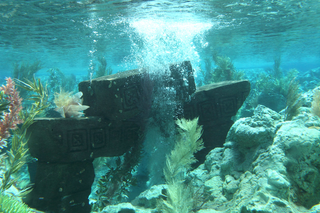

Scroll far enough into diving forums and you’ll find something archaeologists don’t like to admit: nobody has verified most of what’s down there. Divers post shaky footage of stacked stones, straight lines on the seafloor, and shapes that look suspiciously like walls – and then the trail goes cold. No survey team shows up. No permits get filed. No peer-reviewed paper follows.
These sites exist in a strange no-man’s-land between legend and evidence, spotted by people with GoPros instead of grant money. Some are probably just rock. A few might quietly rewrite what we think we know about the coastline they’re sitting on. Here are 12 of the most talked-about sunken ruins that divers insist are real – and that no official body has ever bothered, or dared, to confirm.
#12 – The “Steps” Off Bimini, Bahamas
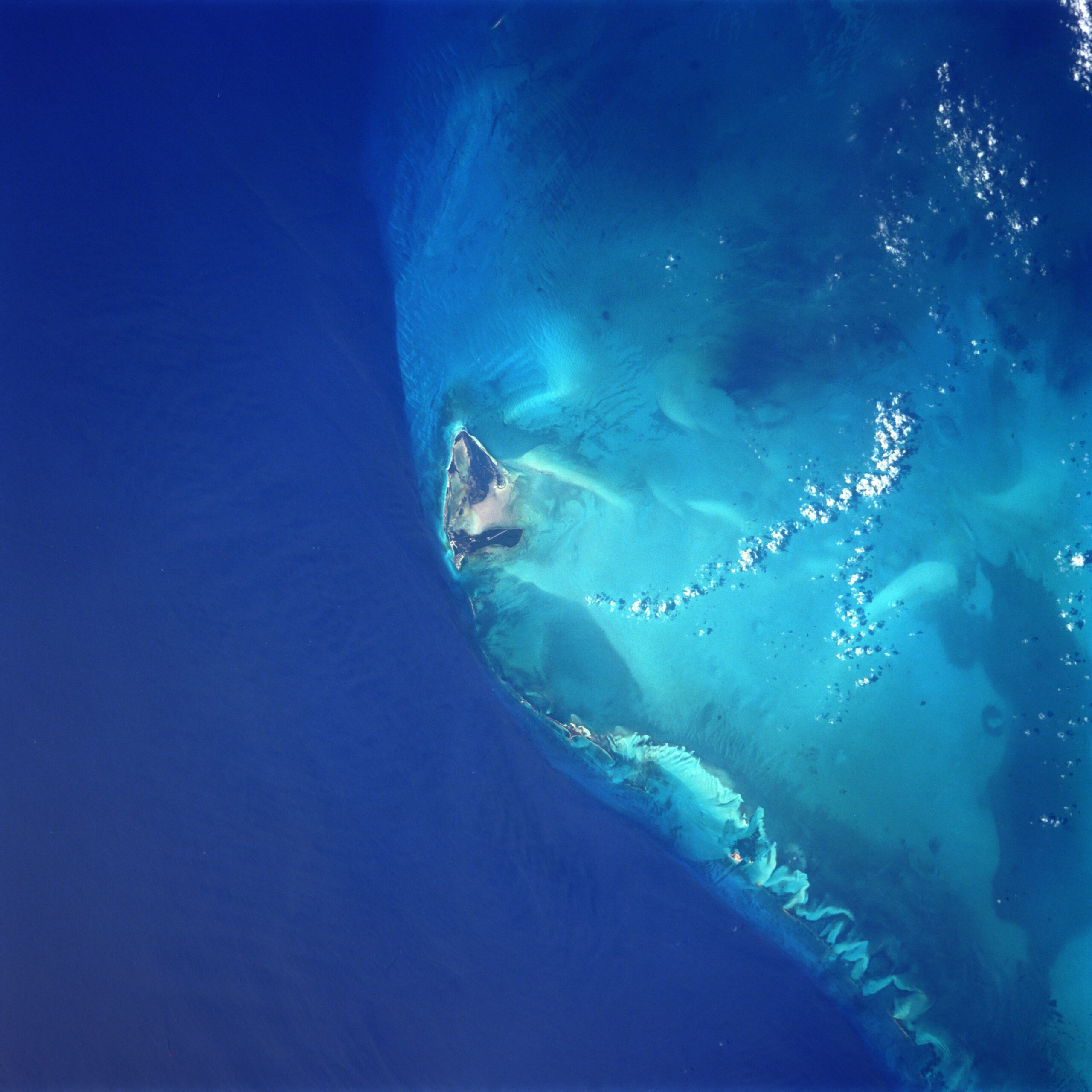
Everyone’s heard of the Bimini Road, the underwater rock formation Atlantis hunters love to point to. Fewer people know that local dive guides talk about a second feature nearby – terraced “steps” a few hundred meters out, where stones sit stacked in shallow ledges like some kind of drowned staircase. No government or academic team has ever mapped it. It exists only in repeat photos and word of mouth.
Most geologists already believe the original Bimini Road is just naturally fractured beachrock, not a lost city, and that skepticism spills over onto anything found nearby. But here’s the part that keeps divers coming back: the same stepped shapes turn up in photo after photo, at the same GPS marks, taken years apart by different people. That kind of consistency doesn’t prove ancient construction. It just means someone with a clipboard should probably go look.
Fast Facts
- The original Bimini Road was discovered on September 2, 1968, by divers Joseph Manson Valentine, Jacques Mayol, and Robert Angove.
- It sits in roughly 18 feet (about 5.5 meters) of water off North Bimini, Bahamas.
- The formation stretches nearly half a mile, curving into a J-shape at one end.
- Individual limestone blocks measure up to 13 feet (4 meters) across.
- Most geologists still classify the main road as natural beachrock rather than a man-made structure.
#11 – The Broken Columns of Alexandria’s Backwaters
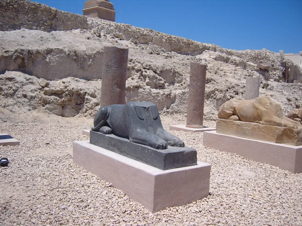
Alexandria’s Eastern Harbor is one of the most famous underwater archaeology sites on Earth – statues, sphinxes, entire submerged neighborhoods, all catalogued and photographed for documentaries. But local Egyptian divers whisper about another spot entirely: a cluttered channel outside the studied zones, thick with silt and boat traffic, where broken columns and carved blocks sit half-buried and completely unrecorded.
Some archaeologists shrug this off as construction debris, dumped during harbor works a century or two ago – historical trash, not a hidden temple. Others aren’t so sure; displaced blocks can still carry inscriptions or come from buildings nobody’s traced yet. The real obstacle isn’t mystery, it’s money. Funding chases headline sites, not a murky side channel nobody can even see clearly from the surface.
#10 – The Circular “Enclosure” Near Yonaguni, Japan
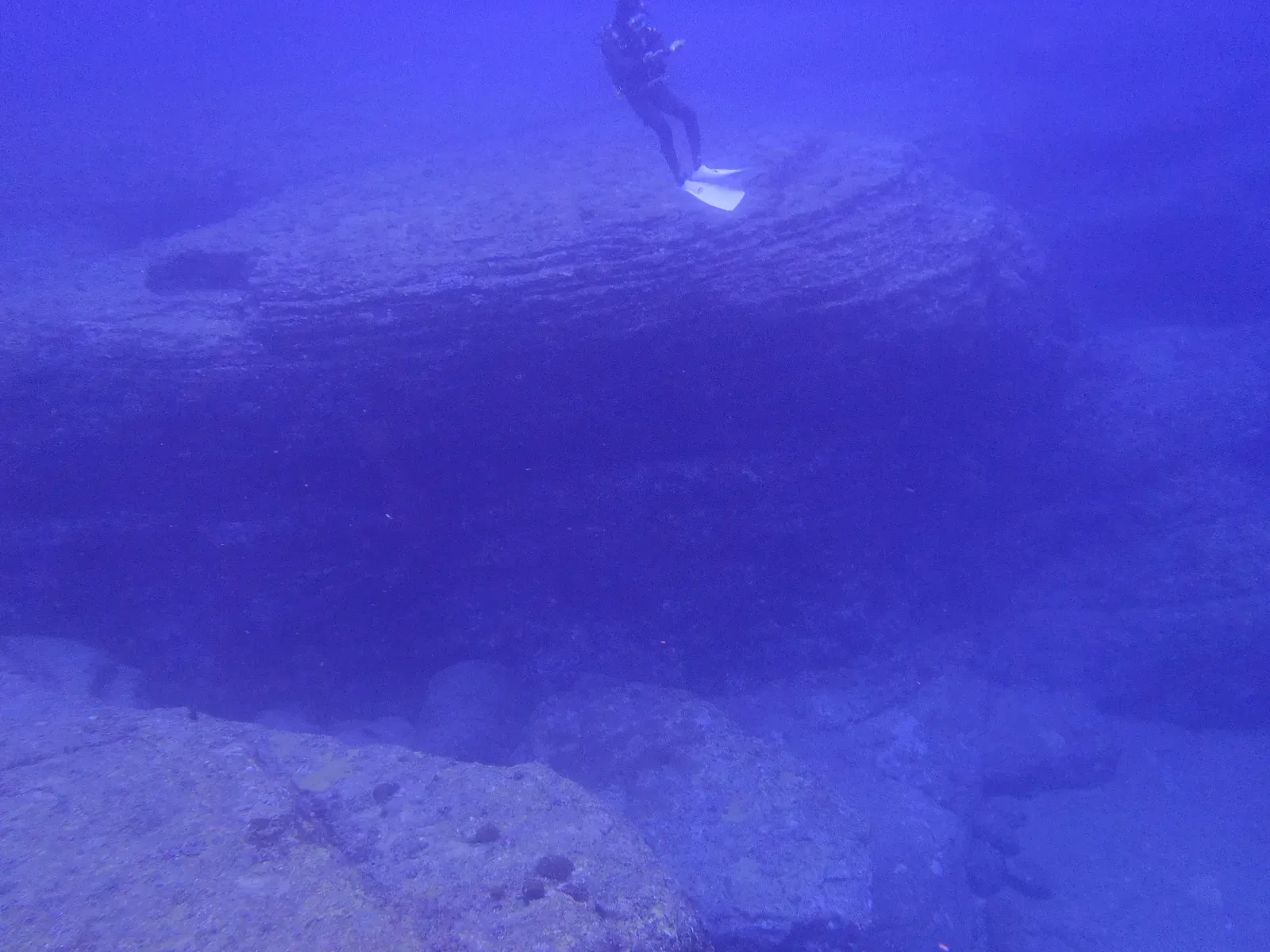
The Yonaguni Monument already splits opinion down the middle – divers see a stepped pyramid, geologists see naturally eroded sandstone. What barely makes the news is a second feature nearby that local divers call the “enclosure”: loose blocks tracing out something like a ring or corral, a short swim from the main site.
The footage that exists is shaky and handheld, and no Japanese survey has ever pointed sonar at it specifically. Researchers warn about pareidolia – the brain’s habit of seeing walls and doorways in random rock once it’s primed to look for them. Fair point. But multiple divers, working independently, keep logging the same compass bearings and depths for the same ring-like shape. Coincidence has a ceiling, and this might be brushing up against it.
#9 – The “Roadway” Off India’s Gulf Coast
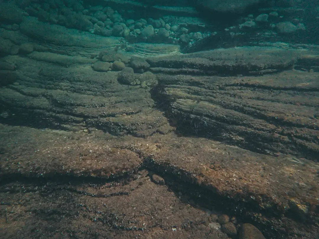
Fishermen along parts of India’s western coast have complained for years about nets snagging on “old stones in a line” offshore. Curious divers finally went to check, and what they found looks like a low road of aligned blocks, partly buried in sediment, sitting well within recreational depth.
No official underwater archaeological survey has produced drawings, dating samples, or even a proper site sketch. India’s underwater archaeology budget is already stretched thin across known shipwrecks and submerged temples, so a blurry rumor with vague coordinates is easy to shelve. If it turns out to be natural bedrock jointing, that’s the boring answer. If humans laid those stones, it’s a piece of coastal infrastructure older than any shoreline map currently in use.
#8 – The “Garden Walls” in a European Alpine Lake
Cold, glassy alpine lakes hide more than trout. In one well-known reservoir, technical divers have mapped what they call “garden walls” – low, L-shaped stone alignments sitting on a submerged terrace 10 to 15 meters down. They look exactly like old field boundaries, because they probably are: pastures and orchards that vanished when a dam project raised the water decades ago.
Nobody surveyed the land before it flooded. Old villagers remember the orchards, but memory fades and paperwork gets lost when families are relocated and towns disappear. Archaeologists have bigger priorities nearby, like the region’s famous Bronze Age pile dwellings. So the walls sit there, unclaimed by science, but deeply claimed by the handful of locals who still remember what the valley looked like before it drowned.
#7 – The Long “Quay” in a Caribbean Mangrove Lagoon
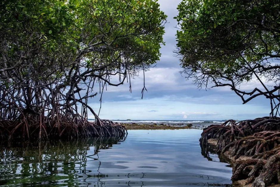
In a quiet Caribbean lagoon used mostly by fishing skiffs, spear-fishers stumbled onto something that doesn’t belong: a straight, raised stone feature running parallel to the shore, like the ghost of an old seawall. At high tide it disappears completely. At low tide, freedivers can trace it by feel through the murk.
No hydrographic chart marks it. No archaeological report mentions it. Local theories split down the middle – an abandoned colonial wharf that silted over, or something older and indigenous, maybe tied to fish traps. Turbid water, tangled mangrove roots, and simple political disinterest have kept anyone from coring it or mapping it properly. For now, the fishers just call it “the old pier down there” and steer their anchors around it.
Quick Compare
- Colonial wharf theory: Built for loading and unloading small ships, later abandoned and silted over.
- Indigenous fish-trap theory: Constructed by earlier coastal communities to channel fish at low tide.
- What both share: No coring samples, no material dating, and no listing on any official chart.
#6 – The “Room Layout” Under a Greek Island Dock
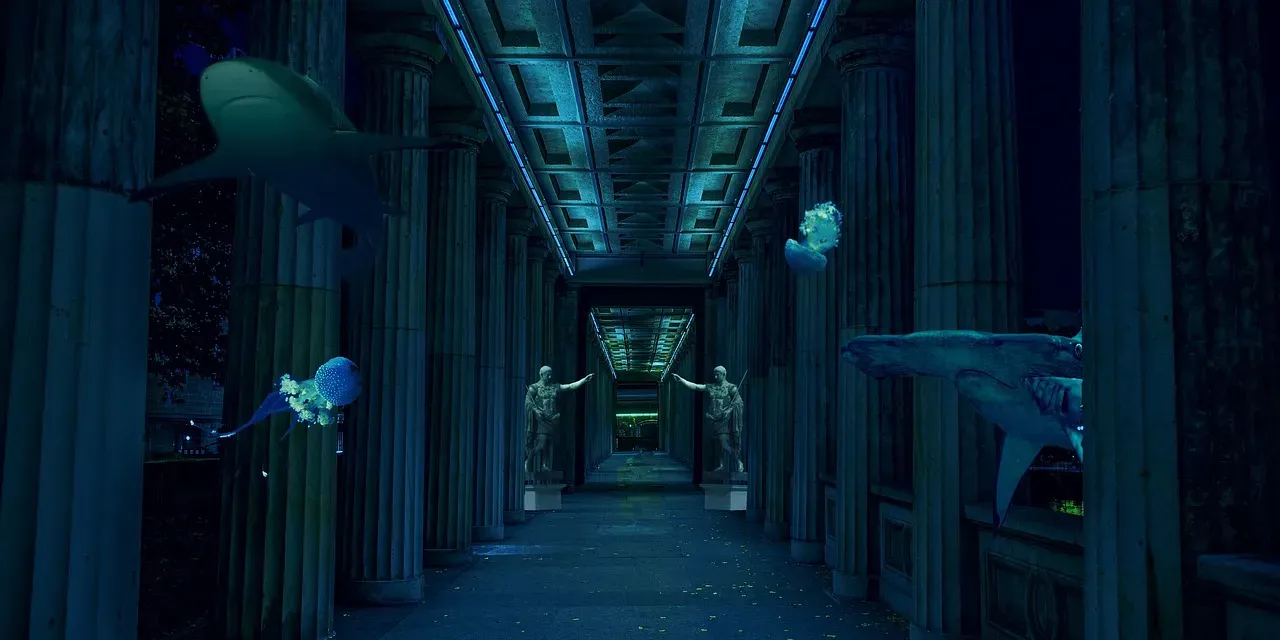
One small, heavily touristed Aegean island hides something most summer visitors never notice: under a modern dock, divers report the unmistakable outline of a floor plan. Low stone courses form what look like rectangular room foundations, and some divers swear they can trace actual doorways between them.
There’s no declared underwater heritage site here – local authorities treat the dock as infrastructure, full stop. That’s not unusual on its own; ancient harbors regularly extended into what’s now underwater thanks to centuries of sea-level rise. What’s unusual is the total silence: no test pits, no material catalog, no attempt to connect the shapes to the known ancient town plan just a few meters away on land. One blunt explanation makes the rounds among divers: admitting there are ruins under a working dock means costly regulations and years of delay nobody wants to sign up for.
#5 – The “Canals” Beneath a South American Reservoir
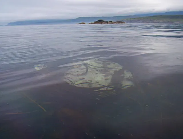
When a South American river was dammed decades ago, the rising water swallowed villages, farmland, and rumored pre-Hispanic sites along with them. During a rare clear season, a handful of tech divers dropped to 30-40 meters and filmed something startling: linear trenches and stone revetments that look exactly like irrigation canals, laid out across the old floodplain.
Visibility dropped before they could document much, and no team has been back with proper survey gear since. The politics here are ugly – the dam is economically critical, and reopening questions about what’s buried beneath it threatens everything from hydropower expansion to tourism revenue. If those canals are real engineering, they’d point to a water-management system more sophisticated than anything in the colonial-era record. For now, they sit in a kind of intellectual exile: too inconvenient to study, too strange to forget.
The ocean is the last great frontier on Earth.
Robert Ballard
#4 – The “Plaza Stones” Off a Pacific Island Village
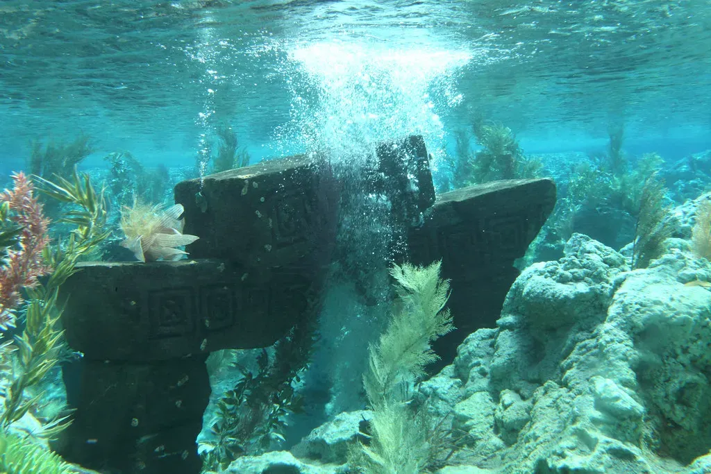
On one remote Pacific island, elders still tell the story of a ceremonial plaza that “walked into the sea” after a massive earthquake generations ago. Local freedivers back up the legend with something real: a cluster of flat slabs offshore, arranged in a rough square, its straight edges visible from the surface on a calm day.
No national heritage team has ever logged it as an official site, and no high-resolution mapping exists in public records. Onshore, anthropologists already document platform sites and men’s houses, but their grants rarely stretch to boats and sonar. Meanwhile the community folds the underwater plaza straight into its oral history, treating it as living memory rather than data waiting to be collected. It’s a quiet collision between two very different definitions of “real”: for the villagers, the plaza doesn’t need a site code to matter. For science, without measurements, it barely exists at all.
Worth Knowing
- Global sea levels have risen roughly 120 meters since the last Ice Age peaked about 20,000 years ago.
- That means coastal structures built before then could now sit permanently underwater, far from any modern shoreline.
- The Pacific’s seismic “Ring of Fire” can drop entire stretches of coastline in seconds during major quakes.
- Oral traditions across many island cultures have repeatedly proven to preserve real geological events across generations.
#3 – The “Stone Circles” in a North Atlantic Fjord
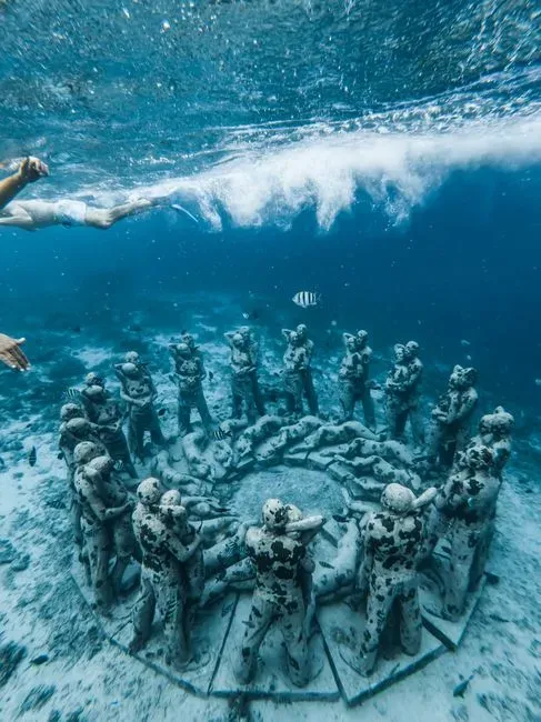
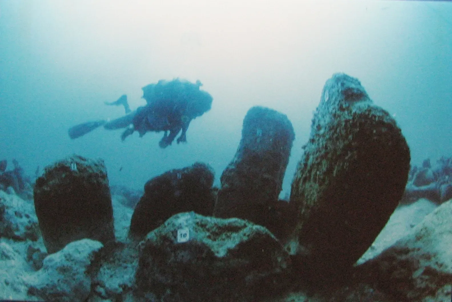
Cold-water divers in one North Atlantic fjord have circulated the same rumor for years: on a ledge around 18-22 meters down, there are boulder arrangements that look uncomfortably deliberate – three or four incomplete rings, each several meters wide, with gaps that look almost like entrances. Glacial geology can absolutely produce strange, ring-like patterns on its own. But the spacing keeps getting described the same way by different divers, which is the detail that won’t quite go away.
The fjord itself is the problem: dark, brutally cold, often near-zero visibility. A proper survey means serious budget and a technical team willing to spend weeks mapping something that could turn out to be nothing more than an ice-age accident. Heritage agencies already have their hands full with Viking harbors in friendlier water. If these circles ever get confirmed, expect a very old story about ritual landscapes in the region to get rewritten almost overnight.
#2 – The “Street Grid” Beneath a Mediterranean Resort
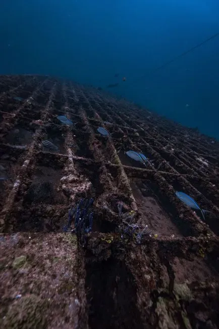
Dive instructors talk about this one constantly. Tourists never hear a word. Off a glamorous Mediterranean resort town, a cluster of half-buried walls and lines forms something that looks unmistakably like a miniature street grid, sitting at just 5-8 meters depth. On a clear day, you can float above it and trace a main lane branching into side alleys. Divers nicknamed it “Old Town Below.”
The local municipality has never requested a full survey, and the reason isn’t hard to guess: confirming a submerged quarter here would trigger heritage protection zones, building restrictions, and exactly the kind of scrutiny that scares off developers. The seabed geology in this area isn’t known for producing natural straight lines, which makes the grid’s regularity hard to explain away as coincidence. Every summer, thousands of tourists sunbathe a few meters above what might be a drowned piece of antiquity that the people in charge would rather not officially see.
#1 – The “Temple Platform” in a Southeast Asian Lake
This is the one that could actually change history books, if anyone ever confirms it. In a man-made lake built over an older river system, cave divers found a broad, stepped platform of stone blocks at depths well beyond recreational limits – a central raised section flanked by narrower tiers, built in a shape uncomfortably close to the base of a temple or stupa.
The handful of videos that exist are dark, silty, and inconclusive, but they show right angles and hints of carved detail that are hard to write off as coincidence. Here’s the uncomfortable part: this reservoir feeds massive irrigation and power infrastructure. Confirming a drowned religious monument underneath it could ignite political fights, religious claims, and demands for restoration that’s physically impossible to deliver. So no agency has publicly commissioned a deep-tech survey. The platform sits there, known intimately by a few divers and officially acknowledged by absolutely no one – and if any site on this list turns out to be monumental, this is almost certainly the one.
Why It Stands Out
- The depths involved go beyond recreational limits, requiring technical or cave-diving skills just to reach it.
- The stepped, tiered shape closely matches temple and stupa architecture found across Southeast Asia.
- Confirming it could force a rewrite of regional religious and engineering history.
- The reservoir’s role in irrigation and power generation makes an official survey politically explosive.
The Bottom Line
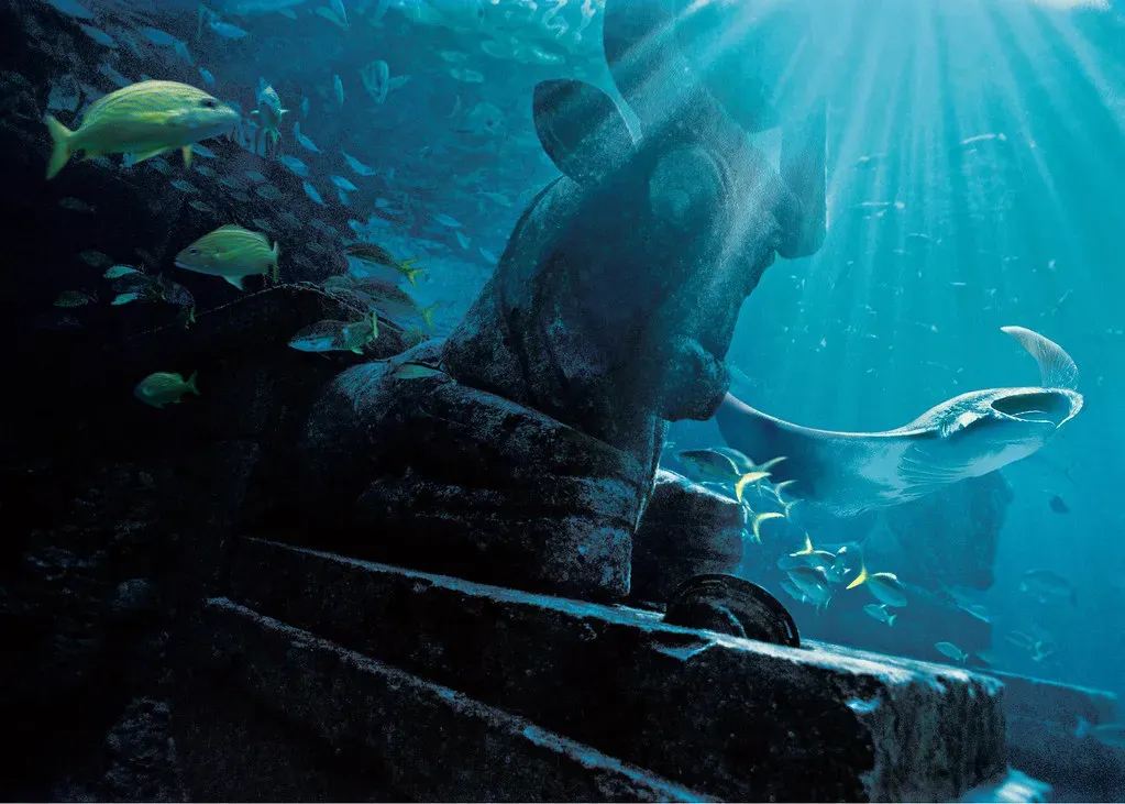
Say “sunken ruins” and most people picture UNESCO plaques and slow-motion documentary footage. The real picture is messier. Walls, plazas, platforms, possible canals – a surprising amount of what’s down there exists only in diver logs and whispered coordinates, never in an official report.
Sometimes that’s money. Sometimes it’s bureaucracy, tourism politics, or just the sheer misery of surveying cold, dark water. And sometimes, honestly, it’s denial – a new site means new problems, and nobody in charge wants more problems. Right now, ordinary divers may genuinely know more about parts of our submerged history than the institutions paid to protect it, and that gap should bother us more than it does.
Not every rock shaped like a wall is a lost civilization. But a global blind spot this large, sitting in plain sight under clear water, deserves better than silence. If I had to pick one to fund first, it’s the Southeast Asian temple platform – the stakes are too high, and the silence around it too convenient, to leave unanswered.