Most people think predicting a cold snap requires a meteorology degree, a satellite feed, and a subscription to five different weather apps. But long before your phone buzzes with a “Winter Storm Watch,” your body, your backyard, and the sky above you are already showing the signs. Static shocks, aching knees, and a sudden hush in bird noise aren’t superstition – they’re measurable physics playing out in real time.
Barometric pressure shifts, atmospheric refraction, and stratospheric wind patterns are quietly rewriting the forecast days before the thermometer catches up. Here’s what atmospheric scientists and physicians actually say is happening, and why your knee, your dog, and the sky above you all seem to know something the weatherman hasn’t announced yet.
#1 – A Sudden, Sharp Wind Shift to the North or Northwest
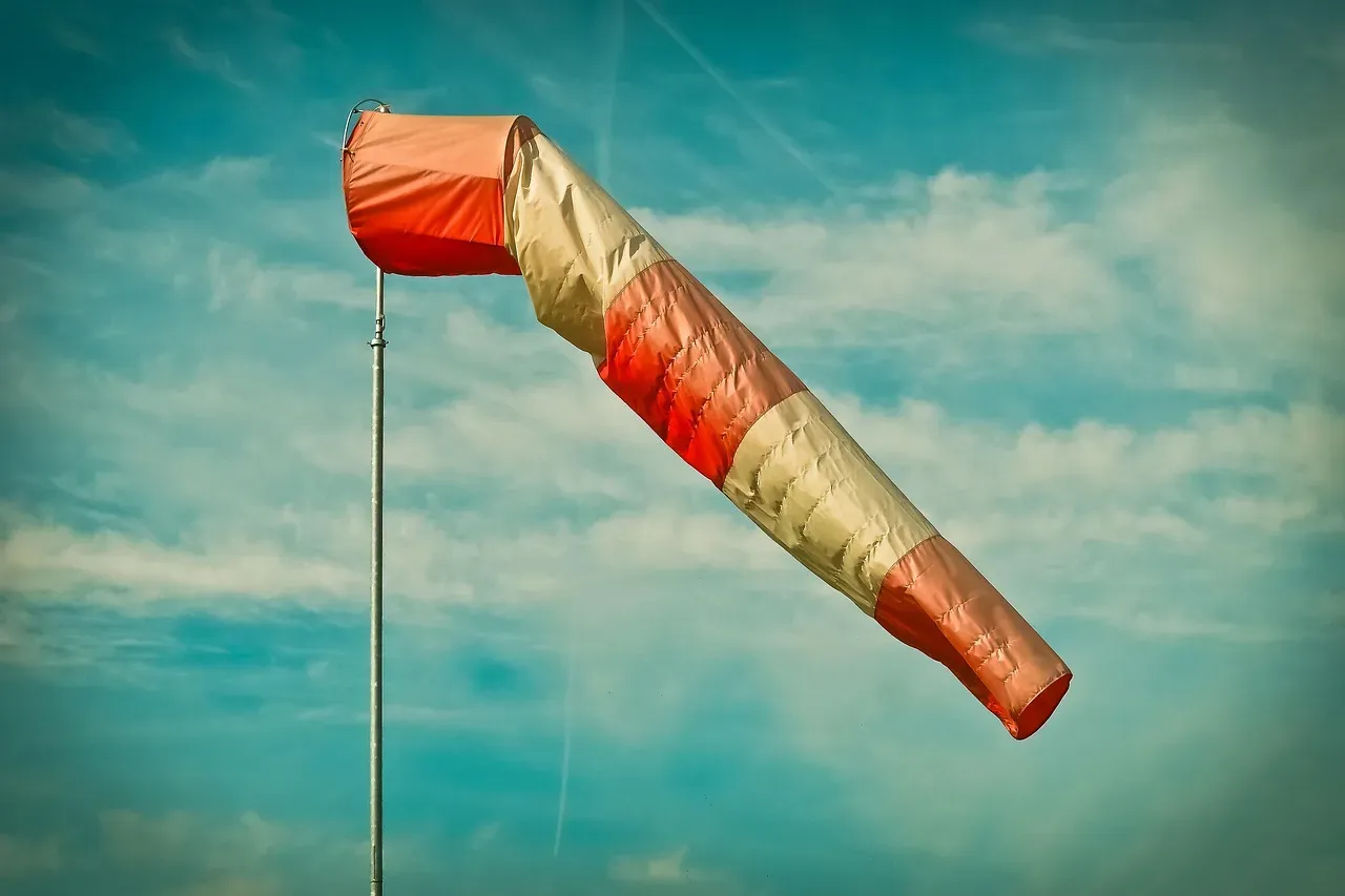
Wind direction is one of the oldest and most reliable physical tells in the weather book, and it’s not folklore – it’s basic fluid dynamics. Cold air masses are denser than warm air, so when an Arctic high-pressure system starts sliding south, it physically shoves the lighter, warmer air out of the way. That collision creates a wind shift you can feel on your skin before you ever check a forecast.
Here’s the part most people miss: the wind doesn’t just get colder, it gets steadier and more directional. Warm-sector winds tend to be gusty and variable, swirling in from the south or southwest. But once a front’s leading edge passes, wind snaps into a consistent north or northwest flow, funneled by the pressure gradient between the incoming cold dome and the retreating warm air.
Meteorologists actually track this shift using surface station data hours before temperatures drop, because wind direction changes almost always precede temperature changes, not the other way around. If you’re outside and notice the breeze has swung around to blow steadily from the north, and it feels “cleaner” or drier than it did an hour ago, that’s not your imagination. That’s the atmosphere physically rearranging itself ahead of the cold air mass.
#2 – A Barometric Pressure Rollercoaster: Sharp Drop, Then Rapid Spike
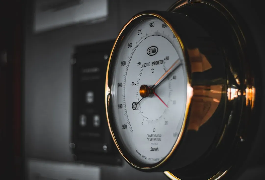
If you own a barometer – or a smartphone weather app that tracks pressure – you’ve got a genuine cold-snap early warning system sitting in your pocket. The pattern to watch for is specific: pressure drops as a low-pressure system or front approaches, then rises sharply and steadily once the cold air mass takes over behind it.
This isn’t a subtle wiggle. A fast-moving Arctic front can produce one of the steepest pressure rises meteorologists measure outside of a hurricane’s eye passing. The speed of that rise is directly tied to how intense the incoming cold will be – the faster and higher the pressure climbs, the denser and colder the air mass pushing in behind it.
Physicians and researchers have even used this same pressure mechanic to explain why so many people feel joint pain right before a cold snap hits. Clinical breakdowns of the pain mechanism point to a sudden drop in pressure as a storm blows into town creating far more noticeable aches than a slow, gradual pressure decline. So if your knees start complaining before the news does, your joints and your barometer are reading the exact same signal – just through different instruments.
Fast Facts
- Standard sea-level air pressure is 29.92 inches of mercury (1013.25 millibars) – the baseline forecasters compare every reading against.
- Meteorologists watch the rate of pressure change, called “tendency,” as closely as the number itself, since a fast climb signals a stronger air mass behind it.
- A rapid post-frontal pressure rise is one of the sharpest non-tropical pressure changes tracked on routine surface weather maps.
- Home barometers and phone apps pull from the same atmospheric trend lines official forecasters use, just with a slight delay.
#3 – Bone-Deep Aching in Old Injuries and Arthritic Joints

This one drives skeptics crazy, right up until they feel it themselves. The “my knee predicts the weather” claim isn’t an old wives’ tale – it has a documented biomechanical explanation involving joint capsules, synovial fluid, and nerve sensitivity.
Here’s the actual mechanism: joints are sealed capsules filled with fluid, and when the external barometric pressure drops ahead of a cold front, that pressure imbalance causes the capsule to expand slightly. In a healthy joint, that’s imperceptible. But in a joint compromised by arthritis, old fractures, or scar tissue, the expansion presses on sensitized nerve endings and increases pain signals.
Cold makes it worse on a second front entirely. Lower barometric pressure also tends to arrive with cooler weather, and cold can make muscles, ligaments, and joints stiffer and more painful, because the oily fluid between your joints can get sludgy when it’s cold or the pressure changes. The research isn’t perfectly settled – some large surveys still show mixed results – but the mechanism is plausible enough that a study of 200 knee osteoarthritis patients found a genuine link between weather and pain.
That achy knee two days before the front actually arrives isn’t drama. It’s a pressure gauge made of cartilage, quietly doing its job.
#4 – A Halo Ring Suddenly Appears Around the Sun or Moon
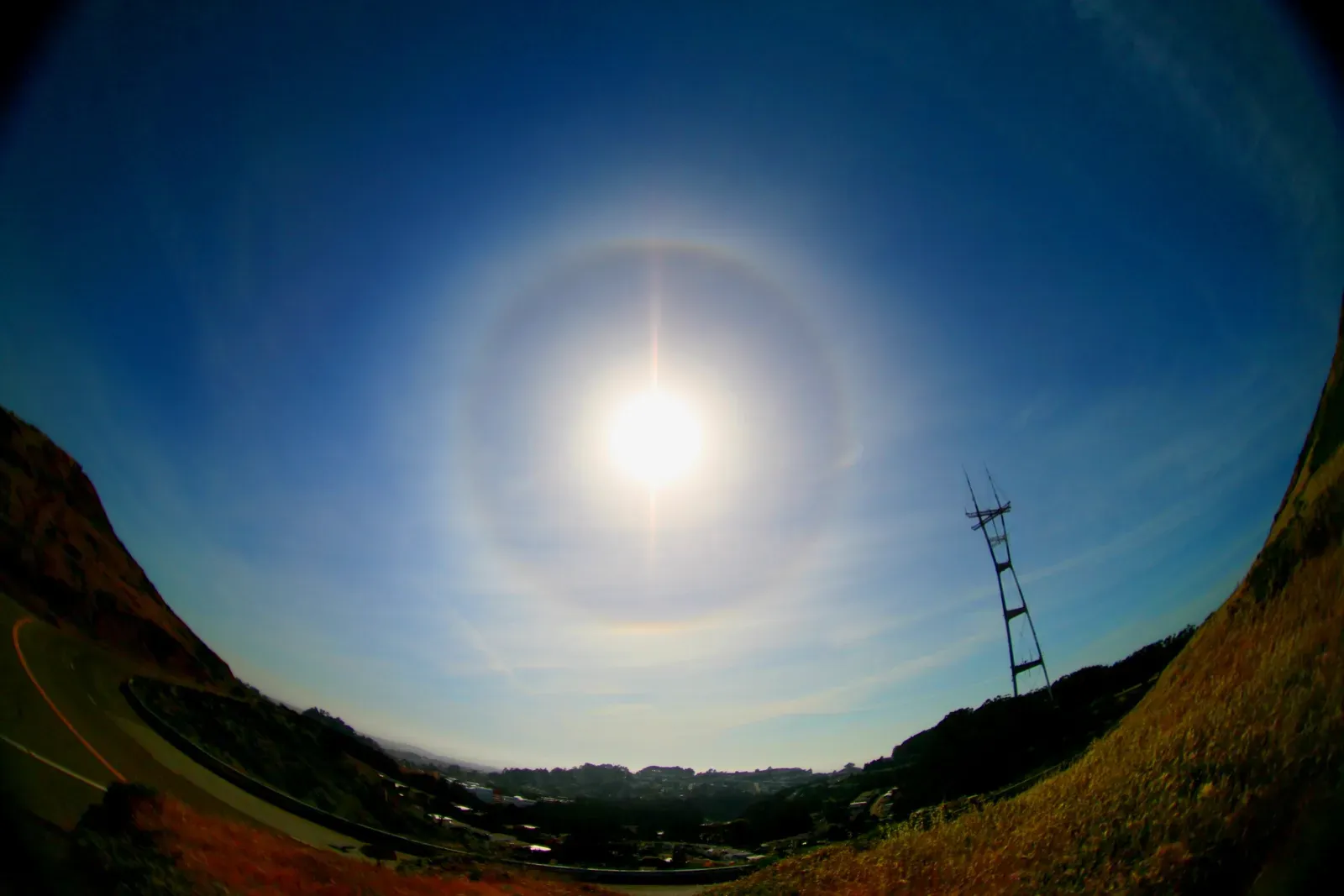
Look up on a seemingly ordinary afternoon and see a pale, glowing ring circling the sun or moon – that’s not an atmospheric fluke, and it’s not just pretty. It’s a direct optical signature of high-altitude cirrus clouds, and cirrus clouds are frequently the very first visible sign that a frontal system is approaching from hundreds of miles away.
Those wispy, feathery clouds sit incredibly high in the troposphere, often five to nine miles up, where temperatures are cold enough that moisture freezes into tiny hexagonal ice crystals instead of water droplets. Sunlight or moonlight passing through those crystals refracts at a precise 22-degree angle, creating the halo effect. The halo isn’t the storm – it’s the outrider riding hours or even a full day ahead of it.
Old-timers used this trick for centuries before satellites existed, because cirrus clouds typically arrive at the leading edge of a warm front that’s often followed by the cold air mass wrapping in behind it. If a halo shows up on a clear day and the wind hasn’t shifted yet, that’s your cue: the upper atmosphere is already rearranging itself, and the surface conditions are about to follow.
Worth Knowing
- The common halo forms at a 22-degree radius from the sun or moon, produced by light bending through hexagonal ice crystals.
- A rarer, much larger halo can appear at a 46-degree radius when crystals are oriented differently.
- Bright spots on either side of the sun, known as sun dogs, are a close optical cousin of the same ice-crystal effect.
- Cirrus clouds forming these halos typically sit far above surface weather, well beyond where clouds usually produce rain or snow directly.
#5 – Sounds Suddenly Travel Farther and Sharper
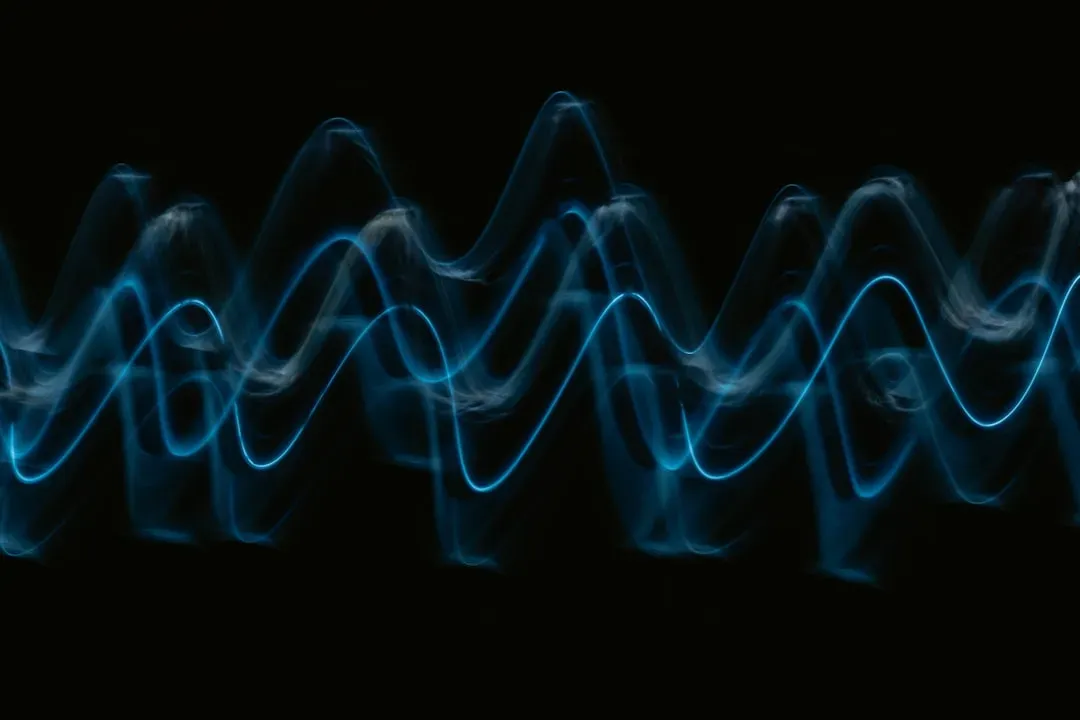
Ever notice how a train whistle, a barking dog, or distant traffic seems unusually crisp and close on certain nights, only for the temperature to nosedive by morning? That’s not your hearing improving. That’s sound physically bending differently through changing air layers, a documented acoustic phenomenon called temperature inversion refraction.
Sound travels faster through warm air than cold air. On a typical evening, air near the ground is warmer than air higher up, which bends sound waves upward and away from your ears, scattering them before they reach you. But right before a cold snap, especially on a calm, clear night, the ground radiates heat away rapidly while a layer of colder, denser air settles right at the surface.
That reversal – cold air trapped below, warmer air above – bends sound waves back down toward the ground instead of letting them escape upward. The sound doesn’t get louder, it gets refracted straight back at you, which is why noises from miles away can suddenly sound like they’re happening in your backyard. Farmers, hunters, and outdoor workers have used this acoustic clue for generations, often noticing it a full night before the actual temperature drop registers.
#6 – Crystal-Clear, Star-Saturated Night Skies
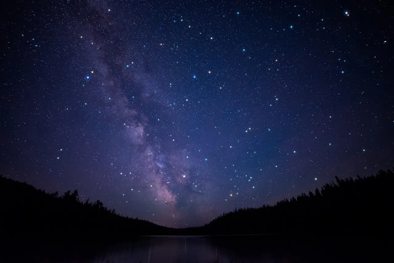
A pristine, cloudless night with visibly sharper stars than usual might feel purely aesthetic, but it’s actually setting the stage for the temperature crash that follows. Clear skies are frequently the direct precursor to a sharp overnight cold snap, and the physics behind it is called radiational cooling.
During the day, the ground absorbs solar radiation and heats up. At night, that heat radiates back out into space as infrared energy. Cloud cover normally traps a portion of that outgoing heat and reflects it back down, keeping nighttime temperatures more stable. Remove the clouds entirely, and there’s nothing left to slow the heat loss – the ground and the air just above it lose warmth rapidly and continuously until sunrise.
This is precisely why the coldest temperatures of any cold snap almost always occur on the clearest, calmest nights, not the cloudy or windy ones. A cold front often clears out cloud cover as it pushes through, which is exactly why the crisp, star-filled sky you’re admiring tonight is frequently the same mechanism that produces tomorrow’s frost.
#7 – Frost Forms Even When the Forecast Says Above Freezing
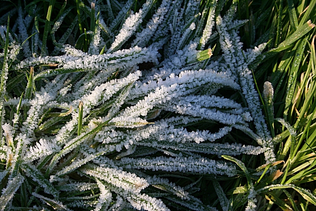
Here’s a scenario that confuses plenty of people: the weather app says 36°F overnight, and yet there’s a thick layer of frost coating the grass, windshields, and rooftops the next morning. That’s not a forecasting error – it’s a demonstration of how radiational cooling creates a temperature gap between the “official” air temperature and what’s actually happening at ground level.
Official air temperature readings are taken several feet above the surface, typically inside a ventilated instrument shelter. But on a calm, clear night, the ground itself cools faster than the air above it, because grass, metal, and exposed surfaces radiate heat away more efficiently than the surrounding air does. The surface can sit five to ten degrees colder than the official reading just a few feet up.
That’s why frost – which requires surface temperatures at or below freezing – shows up even when the “real” forecast temperature never touches 32°F. It’s also a reliable early indicator that a deeper cold snap is settling in, because widespread ground frost typically means a strong radiational cooling setup is already locked in, and that same setup tends to intensify as drier, colder air continues filtering in behind the front.
Quick Compare
- Official thermometer height: measured several feet above ground inside a ventilated shelter.
- Ground-level temperature: often five to ten degrees colder than the official reading on a calm, clear night.
- Frost risk: can begin even when the official forecast sits in the mid-30s°F.
- Biggest gap: shows up on the calmest, most cloudless nights – the exact setup that follows a passing cold front.
#8 – Smoke, Exhaust, and Smells Hang Low Instead of Rising
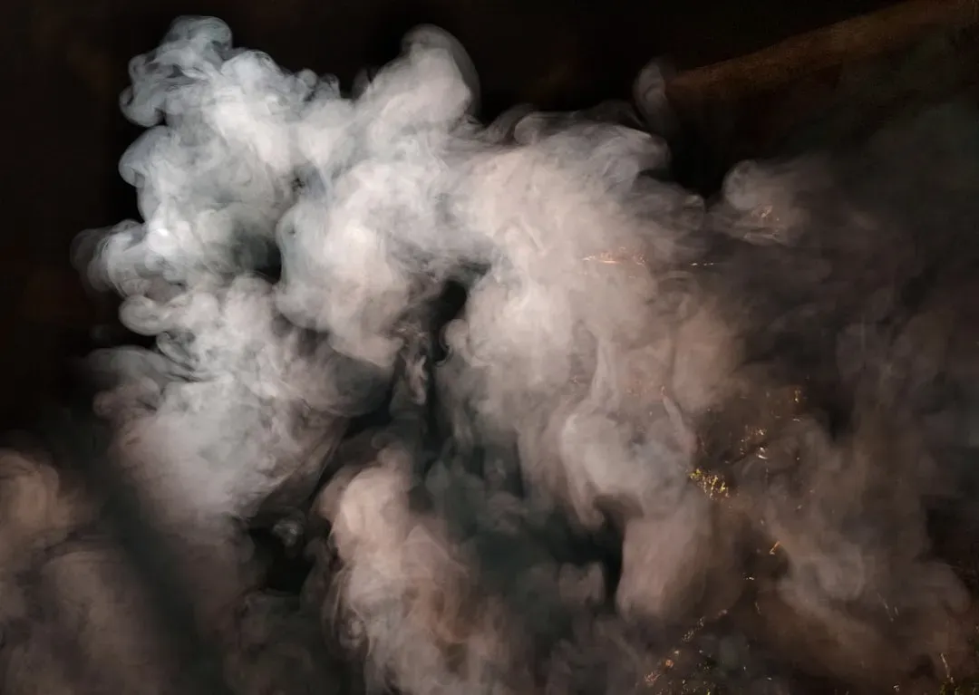
Notice campfire smoke pooling near the ground instead of drifting upward, or the smell of a nearby restaurant’s kitchen lingering unusually close to street level? That’s a textbook sign of a temperature inversion forming, and inversions are a direct precursor to the kind of stagnant, cold air pooling that often precedes a sharp temperature drop.
Normally, air temperature decreases with altitude, which allows warm air (and the smoke or smells riding on it) to rise freely and disperse. An inversion flips that relationship: a layer of warmer air sits on top of a pool of colder, denser air near the ground, essentially putting a lid on the atmosphere. Smoke, pollution, and odors get trapped instead of dispersing, hanging visibly close to the surface.
Inversions form most commonly on calm, clear nights, the same conditions that drive radiational cooling. When you notice smoke behaving strangely low to the ground, it’s a visible confirmation that cold, dense air is actively accumulating at the surface, exactly the setup that precedes a cold snap intensifying overnight or over the following day.
#9 – A Noticeable Uptick in Static Electricity Shocks
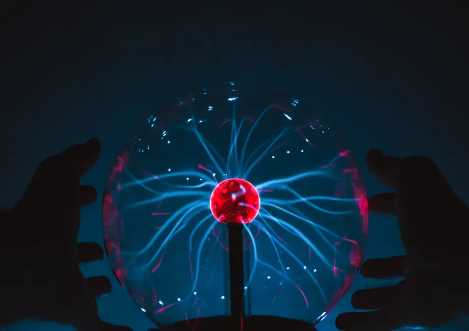
If you’re suddenly getting zapped every time you touch a doorknob, shake hands, or take off a fleece jacket, that’s not bad luck. It’s a direct measurement of falling humidity, and falling humidity is one of the most consistent fingerprints of an incoming cold, dry air mass.
Static shocks happen when electrons build up on a surface and then discharge suddenly when they find a conductive path – your finger touching metal, for instance. Moist air is naturally more conductive, letting that electron buildup dissipate gradually and harmlessly. Dry air is a poor conductor, so the charge has nowhere to go until it suddenly arcs, and you feel the shock.
Arctic air masses are characteristically dry, since cold air simply can’t hold as much moisture as warm air. As a cold front approaches and pulls in that dry continental air, indoor humidity drops fast, especially once heating systems kick on and dry the air out even further. A sudden wave of static shocks around your house is a genuinely physical signal that the humidity has already crashed, well before the outdoor temperature catches up.
#10 – Birds and Squirrels Suddenly Feed Aggressively
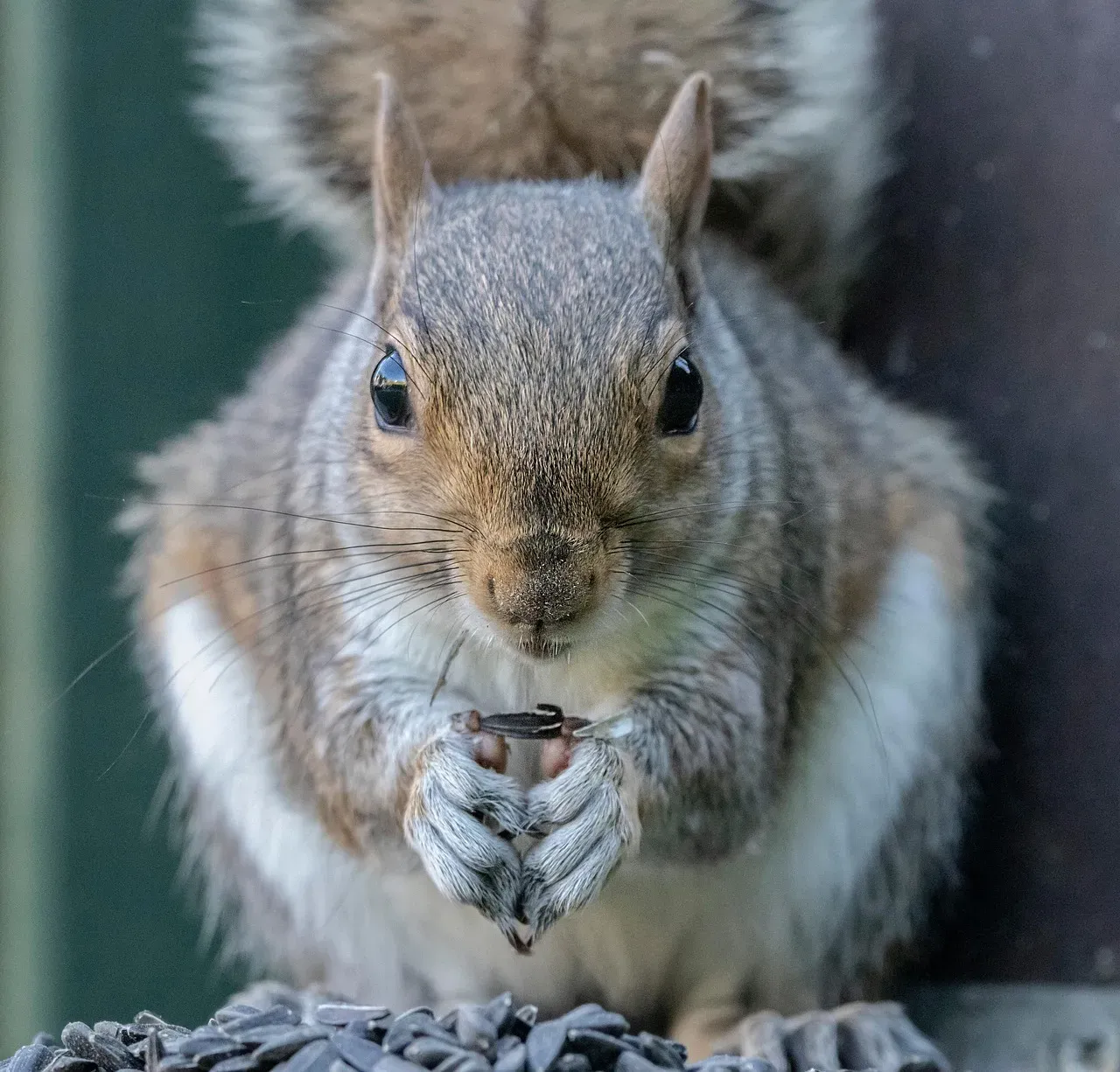
Watch your backyard bird feeder in the hours before a cold snap and you’ll often see something unusual: a feeding frenzy. Birds that normally visit in trickles start swarming in flocks, and squirrels seem to be everywhere at once, digging and burying at a frantic pace.
This behavior is a straightforward survival response tied to barometric pressure sensitivity and metabolic need. Birds have been shown to detect pressure drops associated with approaching weather systems, and small mammals and birds burn through fat reserves fast in cold temperatures just to maintain body heat. The instinct is simple: eat as much as possible now, because tomorrow’s calories will go straight to survival, not foraging.
This isn’t a myth passed down by grandparents with too much time on their hands – wildlife biologists have documented feeding surges ahead of pressure drops repeatedly. While some people dismiss this as unreliable “folk forecasting,” the underlying biological driver, pressure sensitivity plus thermoregulatory urgency, is measurable and consistent enough that birdwatchers genuinely use feeder activity as an informal early-warning system.
#11 – Animals Fluff Up and Suddenly Look Twice Their Size

That backyard bird looking oddly round, or your dog’s coat looking unusually poofy – that’s not weight gain, and it’s not fluffiness for fluffiness’s sake. It’s piloerection, the same reflex behind human goosebumps, and animals ramp it up specifically as a cold front approaches.
Feathers and fur trap a thin layer of air against the skin, and that trapped air acts as insulation. The more the feathers or fur stand up, the thicker that insulating air layer becomes. Birds can look nearly double their normal size during a serious cold snap simply from fluffing alone, because they’re maximizing the insulating air pocket before their body has to work overtime to generate heat.
This reflex is triggered by nerve endings sensing dropping temperatures, but many animals visibly begin fluffing before the coldest air actually arrives, essentially pre-insulating in anticipation. It’s a physiological response, not a conscious prediction, but the timing lines up closely enough with incoming cold fronts that attentive pet owners and birdwatchers notice the pattern well before checking a forecast.
#12 – The Polar Vortex Stretches, Splits, or Wobbles Off Its Axis
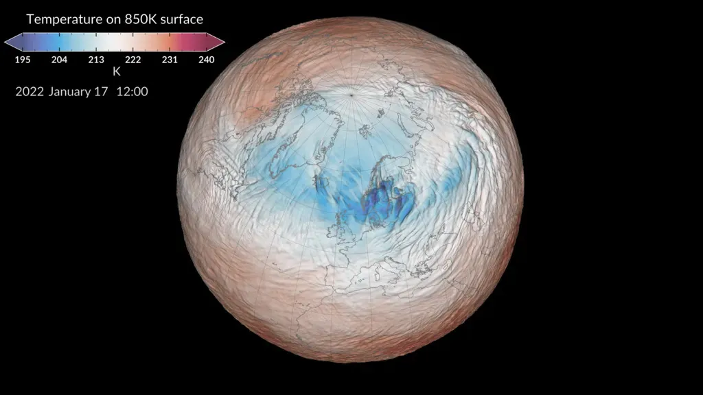
This is the big one – the actual atmospheric machinery behind almost every major cold snap, and it’s happening thousands of feet above your head weeks before you feel a thing. The polar vortex is a massive ring of cold air and low pressure that normally sits locked over the Arctic. When it’s strong and stable, it keeps that cold air contained up north. When it weakens, stretches, or splits, everything changes.
According to NOAA’s stratosphere research, when the Arctic polar vortex is especially strong and stable, it encourages the polar jet stream to shift northward, keeping the coldest polar air in the Arctic. But when the vortex weakens, shifts, or splits, the polar jet stream often becomes extremely wavy, allowing warm air to flood into the Arctic and polar air to sink down into the mid-latitudes. This disruption is frequently triggered by what scientists call a sudden stratospheric warming event, where planetary-scale waves break, warming the vortex, which can weaken it and cause it to be displaced or split in two.
Here’s the part that should genuinely surprise you: this process is predictable weeks in advance, far earlier than any local forecast could ever manage, because the emergence of a sudden stratospheric warming is predictable in advance, and the weather pattern that follows also remains more predictable than usual. Researchers have also identified vortex “stretching” as a distinct mechanism from a full split, and one analysis linked the brutal 2021 Texas cold snap to a stretching event in February that followed an SSW the previous January.
At a Glance
- Sudden stratospheric warmings are major disruptions of the Northern Hemisphere stratospheric polar vortex and occur on average approximately six times per decade in observation-based records.
- These events can raise stratospheric temperatures dramatically over just a few days, kicking off the chain reaction that eventually reaches the ground.
- The February 2021 Texas freeze has been tied by researchers to a vortex stretching event that followed a January sudden stratospheric warming.
- Because the stratospheric trigger is trackable in advance, some cold outbreaks are flagged by scientists weeks before any local station notices a thing.
So while your local news is scrambling to explain a sudden Arctic blast, atmospheric scientists may have already seen the warning signs a full month earlier, sitting quietly in stratospheric wind data over the North Pole.
The Bottom Line
The most surprising takeaway here isn’t any single sign – it’s how many of these signals originate far above ground, in the stratosphere, long before your local forecast even mentions cold air. A polar vortex disruption can be flagged weeks in advance, while your achy knee, your dog’s fluffed-up fur, and that sudden halo around the moon are all physical downstream effects of the exact same pressure and temperature mechanics playing out in real time.
None of this is folklore dressed up as science. It’s genuine physics, biology, and atmospheric dynamics working together in a chain reaction that starts miles above your roof and ends with a sore knee, a fluffed-up sparrow, or a shock off your car door handle. If anything, the folklore had it backwards – it wasn’t superstition borrowing credibility from science, it was science hiding in plain sight, waiting for meteorology to catch up.
The next time your static shocks spike or the birds go into a feeding frenzy, trust it. Which of these signs have you noticed before a cold snap hit your area? Drop it in the comments.