
You’d think the ocean floor was old news by now – mapped, measured, filed away in some tidy government database. It isn’t. We have sharper, more complete images of the far side of the Moon and the dusty plains of Mars than we do of the seabed sitting directly beneath our own ships.
That gap in our knowledge isn’t just a fun trivia fact. It’s the reason sonar surveys keep turning up plateaus that shouldn’t exist, “paved” plains that look bulldozed, ruler-straight trenches that ignore the tectonic map, and acoustic ghosts that show up on one pass and disappear on the next. None of this is alien tech or lost cities – but what oceanographers actually admit about these features, often only off the record, is stranger than most of the conspiracy theories built around them.
#12 – The Patch of Pacific Seafloor That Keeps Vanishing
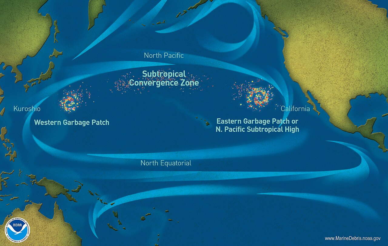
Somewhere in the central Pacific, survey ships keep hitting the same bizarre snag: a patch of seafloor that sometimes reads as a normal abyssal plain, and sometimes as a blank, dataless void. The instruments don’t fail everywhere on the route – just there, in that one stretch, like the seafloor is deciding whether it wants to be seen.
One ship runs the line and logs clean, detailed ridges. Another retraces the exact same track months later and pulls up almost nothing but noise. The leading explanations are mundane – sediment that scatters sound oddly, water layers bending the sonar beam, hardware quirks tied to temperature and swell – but nobody can prove it, because there’s no fixed instrument sitting on the bottom there, only passing ship tracks. A few researchers admit, quietly, that it behaves less like a mapping glitch and more like a moving acoustic mirage.
Fast Facts
- Location: a stretch of abyssal plain in the central Pacific, revisited by multiple survey ships.
- Behavior: clean bathymetric data on one pass, blank noise on the next, along the identical track line.
- No permanent seafloor sensor sits at the site – every reading comes from a passing ship.
- Leading suspects: sediment scattering, sound-bending water layers, and instrument drift – none confirmed.
#11 – The “Paved” Basalt Plains of the Atlantic
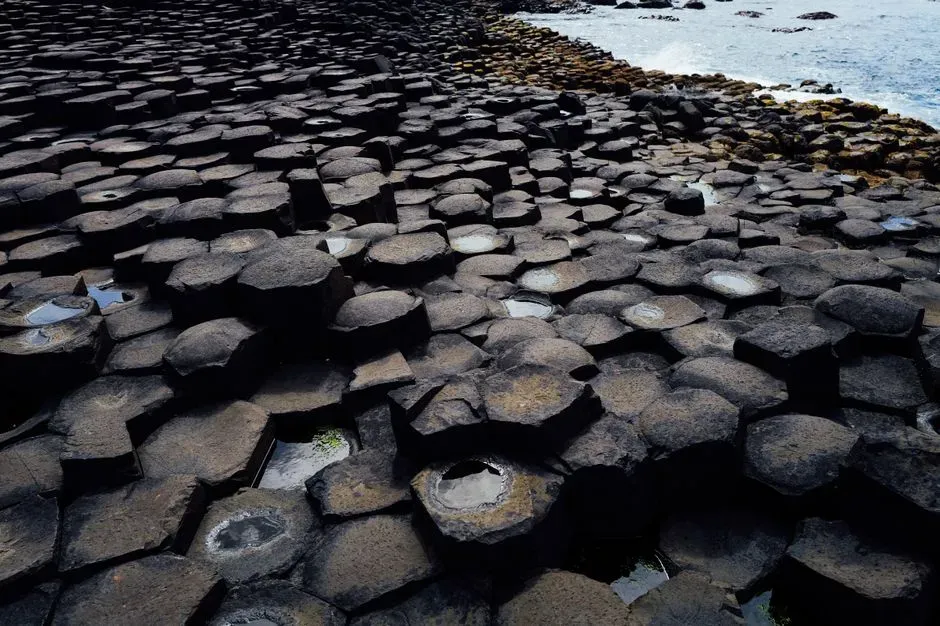
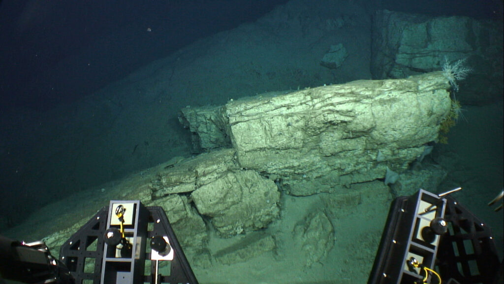
Far from major shipping lanes in the deep North Atlantic, submersibles and towed cameras have drifted over stretches of seafloor that look disturbingly artificial: flat, slabby basalt plates with fractures that resemble tiled pavement. It’s the source of half the “lost city under the sea” posts online, and honestly, the photos are uncanny enough that you can’t blame people for wondering.
Geologists know basalt cools in sheets and cracks in polygonal patterns, the same way dried mud or columnar basalt does on land. The problem is that in certain survey zones, the pattern is too regular and too continuous for comfort – plates of nearly identical thickness, gaps forming semi-straight “lanes,” sediment draping evenly across everything like it’s been sitting undisturbed for ages.
- Some sections stretch for hundreds of meters with eerie uniformity.
- ROV pilots routinely joke they’re “flying over a parking lot.”
Most researchers file this under unusual-but-natural volcanism. Several published papers, though, explicitly note that existing models don’t predict geometry this clean on an active oceanic plate.
#10 – The “Cold” Vents That Shouldn’t Still Be Breathing
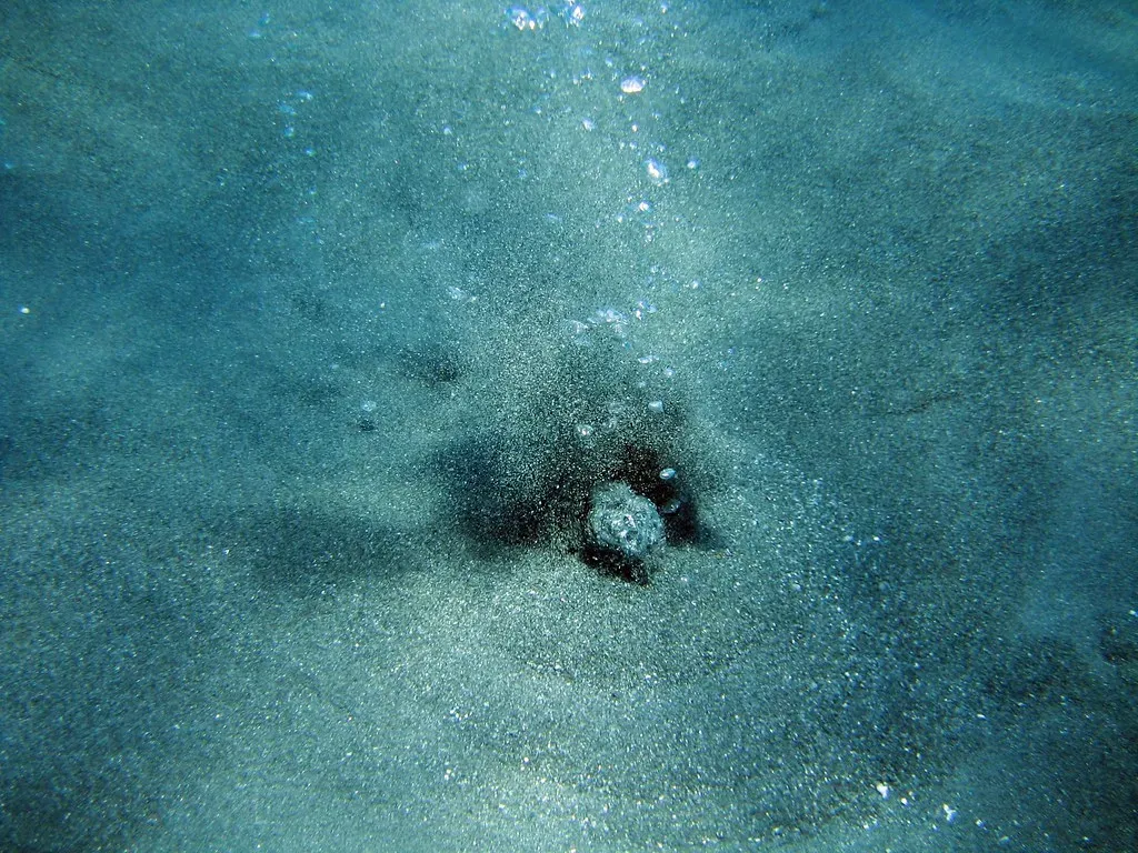
Hydrothermal vents are supposed to be hot, obvious, and chemically loud. Then survey teams found something quieter and far more confusing: vents barely warmer than the surrounding seawater that are still pumping out strange gas signatures, especially helium and other noble gases.
By the time circulation cools this much, the interesting chemistry is supposed to be finished – just slow, boring seepage through old crust. Instead, some of these “cold vents” carry chemical fingerprints suggesting active reactions still happening deep in the rock, well below anything we can measure directly. A few sites even support faint biological communities thriving in a spot that, on paper, shouldn’t have enough energy to support anything at all.
- Some plumes carry isotopic signatures that don’t cleanly match known mantle or crustal sources.
- Others seem to cycle on and off, as if a hidden valve somewhere below is opening and closing.
Nobody’s reaching for anything supernatural. But a growing number of geochemists quietly admit our picture of fluid pathways beneath the seafloor is still primitive – these vents are hinting at plumbing we haven’t mapped yet.
#9 – The Ruler-Straight Trenches That Don’t Match Any Plate
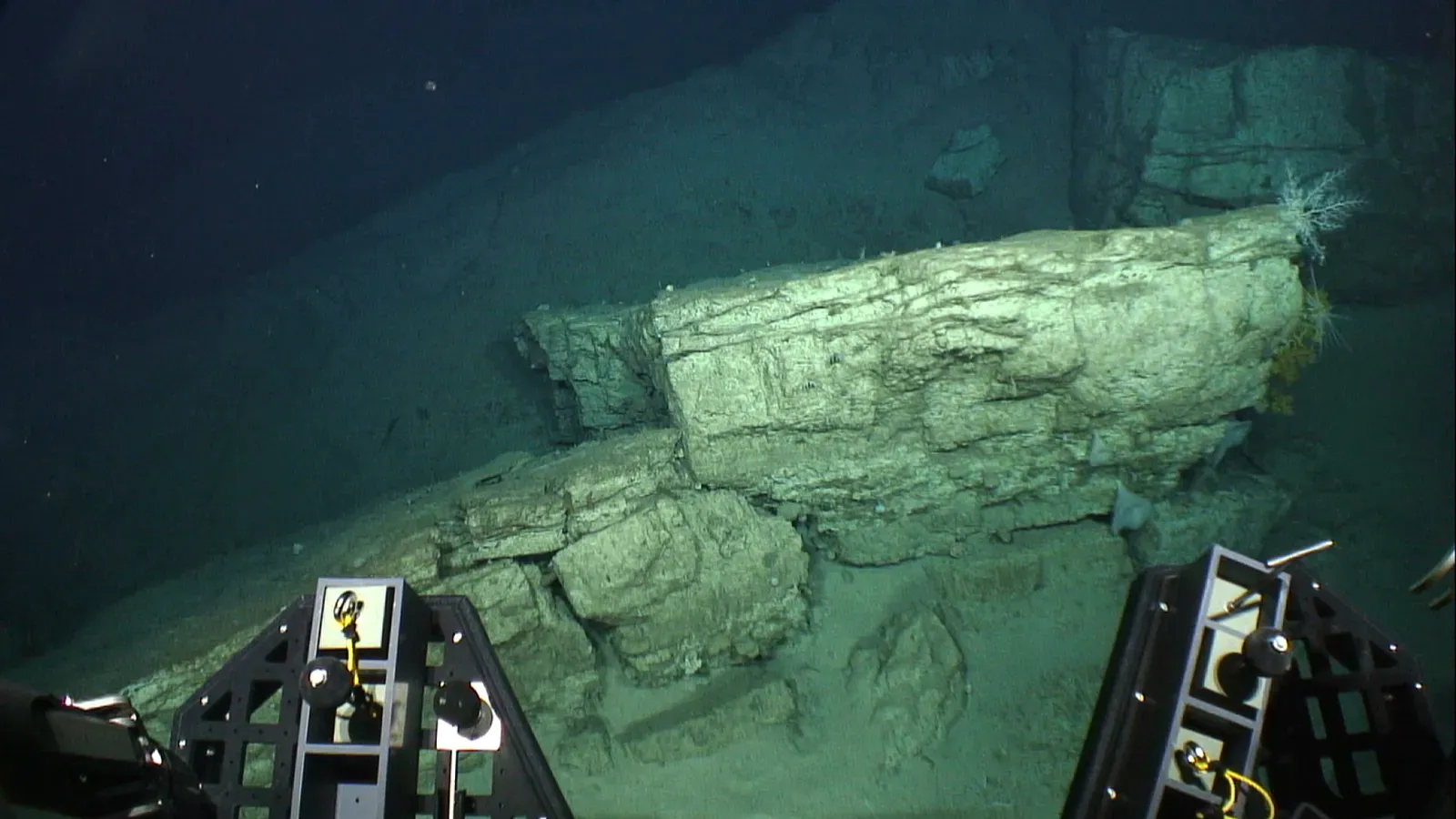
Pull up high-resolution bathymetric data from parts of the Pacific and Indian oceans and you’ll notice something odd: long, ruler-straight grooves carved into the abyssal plains that don’t line up with any known plate boundary or fracture zone. They’re too straight, too continuous, to be random – yet they don’t fit the tectonic grid we’ve built.
The standard explanation is turbidity currents, huge underwater avalanches of mud and sand plowing channels as they race downslope. That works near steep continental margins. It works far less well for grooves sitting on flat, low-energy plains, tens of kilometers long, with almost constant width and depth, as if something dragged a massive plow across the bottom of the ocean.
- Sediment cores at the edges don’t always show the chaotic deposits you’d expect from a landslide.
- Some grooves cut across subtle topography instead of following the easiest downhill path.
Most textbooks skip these because they’re inconvenient outliers. The quiet truth: there’s no physics-backed model yet for how such straight, stable channels survive in such flat, sluggish environments.
#8 – The “Ghost Volcanoes” That Disappear on Re-Survey
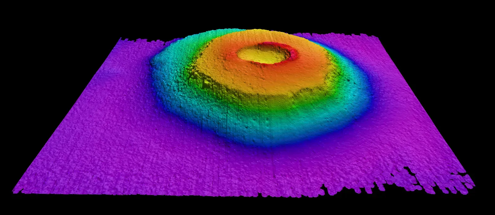
Older bathymetric maps, especially satellite-derived ones, showed thousands of small seamounts scattered across the world’s oceans. Then high-resolution multibeam surveys went back to check some of those spots and found nothing. Entire “volcanoes” had quietly vanished from the map.
The tidy answer is mapping error – satellite altimetry infers seafloor relief from tiny changes in sea surface height, and it absolutely can mistake noise for a bump. Improved data has deleted plenty of phantom features this way. But a small, stubborn subset of ghost volcanoes have been confirmed by one high-quality sonar survey and then failed to show up in another, using the same tech, in the same region.
Quick Compare
- Satellite altimetry: infers seafloor bumps from tiny changes in sea-surface height – fast and global, but coarse.
- Multibeam sonar: ships ping the bottom directly for high-resolution detail, but only along the track they actually sail.
- The catch: a handful of “volcanoes” confirmed by one multibeam survey have failed to reappear in a later one, using the same technology.
Most oceanographers blame navigation offsets or calibration drift. A few geophysicists point out that if even some of these discrepancies are real, we may be badly underestimating how fast submarine landslides or crustal shifts can reshape the deep landscape.
#7 – The “Frozen Waves” Marching Across Flat Plains
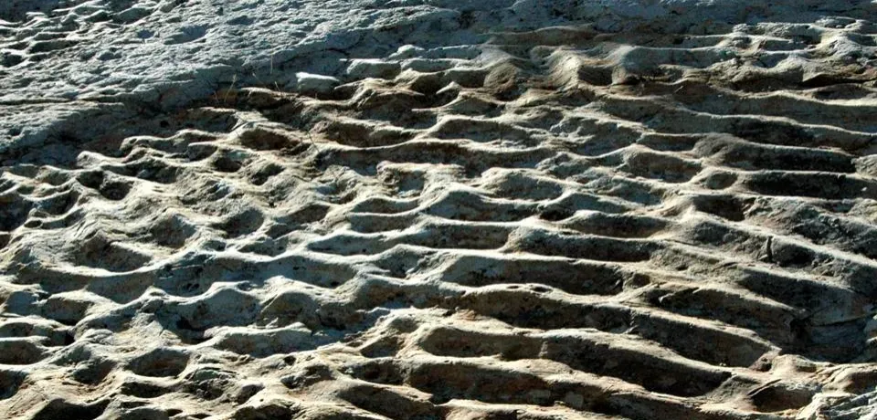
On seafloor that’s supposed to be dead flat, ROVs have filmed something that looks like giant frozen waves of sediment – regular undulations, sometimes tens of meters high, repeating across the bottom in a rhythm that feels almost deliberate. They aren’t dunes in the shallow-water sense; the currents at these depths are usually too slow and too steady to move that much material.
One theory says these are fossil scars from ancient contour currents, deep density-driven flows that sculpted the mud back when ocean circulation looked completely different. Another blames massive, low-frequency internal waves in the water column, quietly piling sediment into ridges over geologic time. The trouble is that where we find these “waves,” today’s current measurements often show nothing strong enough to have built or sustained them.
Worth Knowing
- Some ridge fields are partially buried, hinting at multiple episodes of activity.
- Others look sharp and fresh, as if shaped thousands of years ago rather than millions.
- Today’s current measurements often show nothing strong enough to have built or sustained the ridges researchers are studying.
Oceanographers are genuinely split – some blame rare catastrophic events like superstorms or slope failures, others argue deep-sea current dynamics are still missing key pieces, and these wave fields are the fingerprints of a process nobody’s identified yet.
#6 – The Methane Craters That Blow Out Almost Overnight
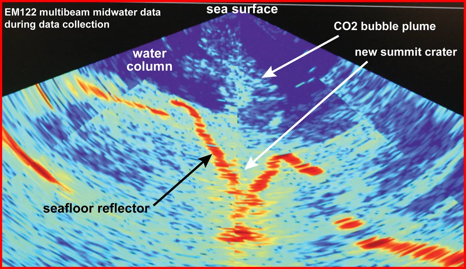
Along several continental margins, mapping campaigns have documented crater-like pits linked to methane escaping from gas hydrates – ice-like structures that trap methane in seafloor sediment. What’s unsettling isn’t that they exist. It’s the timescale: between surveys only years or decades apart, brand-new pits tens of meters across have appeared where the seabed used to be smooth.
Classic geology assumes these things evolve slowly, weakening gradually before failure. Some of these craters, though, show sharp edges and fresh, steep walls that point to a sudden, almost explosive blowout rather than a slow leak. The methane volumes involved aren’t enough to rewrite the climate story overnight, but they do wreck the comfortable assumption that hydrate systems always behave lazily.
- Some pits cluster in “fields” with no obvious link to slope or depth.
- Acoustic surveys sometimes catch gas plumes rising long after the initial collapse.
Scientists agree the process is natural, not mysterious in origin. The real puzzle is why some sections of the margin behave like loaded springs while nearby ground with similar geology stays completely quiet – and our predictive models for that are, frankly, still weak.
#5 – The Magnetic Stripes That Refuse to Line Up
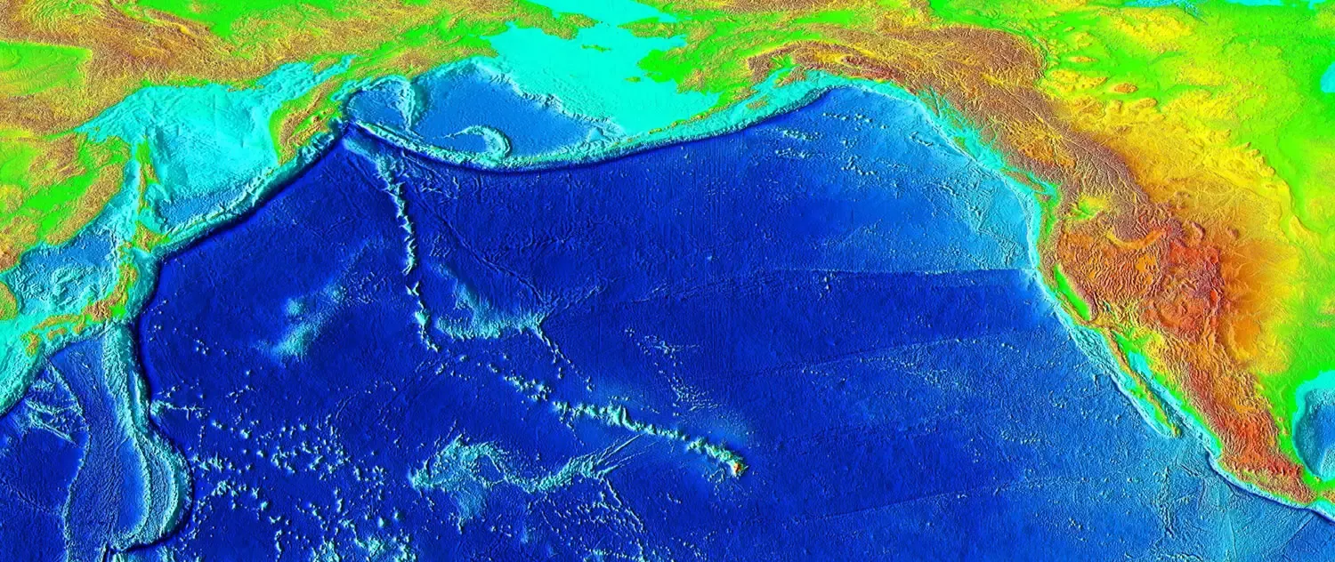
Every geology textbook loves those clean diagrams of symmetric magnetic stripes recording Earth’s field reversals as plates spread apart. Real data from some ridges tells a messier story. In certain regions, the magnetic signature is skewed, broken, or oddly offset from the spreading center – as if the record was written somewhere else, then slid sideways into place.
One explanation says ridge axes wander over time, layering overprinted patterns on top of each other. Another blames local magnetic anomalies in the mantle distorting the signal. But in some spots, even after accounting for plate motion and known field behavior, the anomalies still don’t add up geometrically – like magnetized blocks got shuffled and rotated in ways that don’t match any nearby fault system.
- A few swaths show stripes that abruptly terminate or bend for no clear tectonic reason.
- Others carry asymmetries extreme enough to challenge standard plate reconstructions.
Most geophysicists shrug this off as “complex local history.” A more candid minority argues it exposes something bigger: our tidy, two-dimensional cartoons of seafloor spreading are hiding a chaotic, three-dimensional process we haven’t fully modeled.
#4 – The Circular “Ring Scars” That Look Like Impact Craters
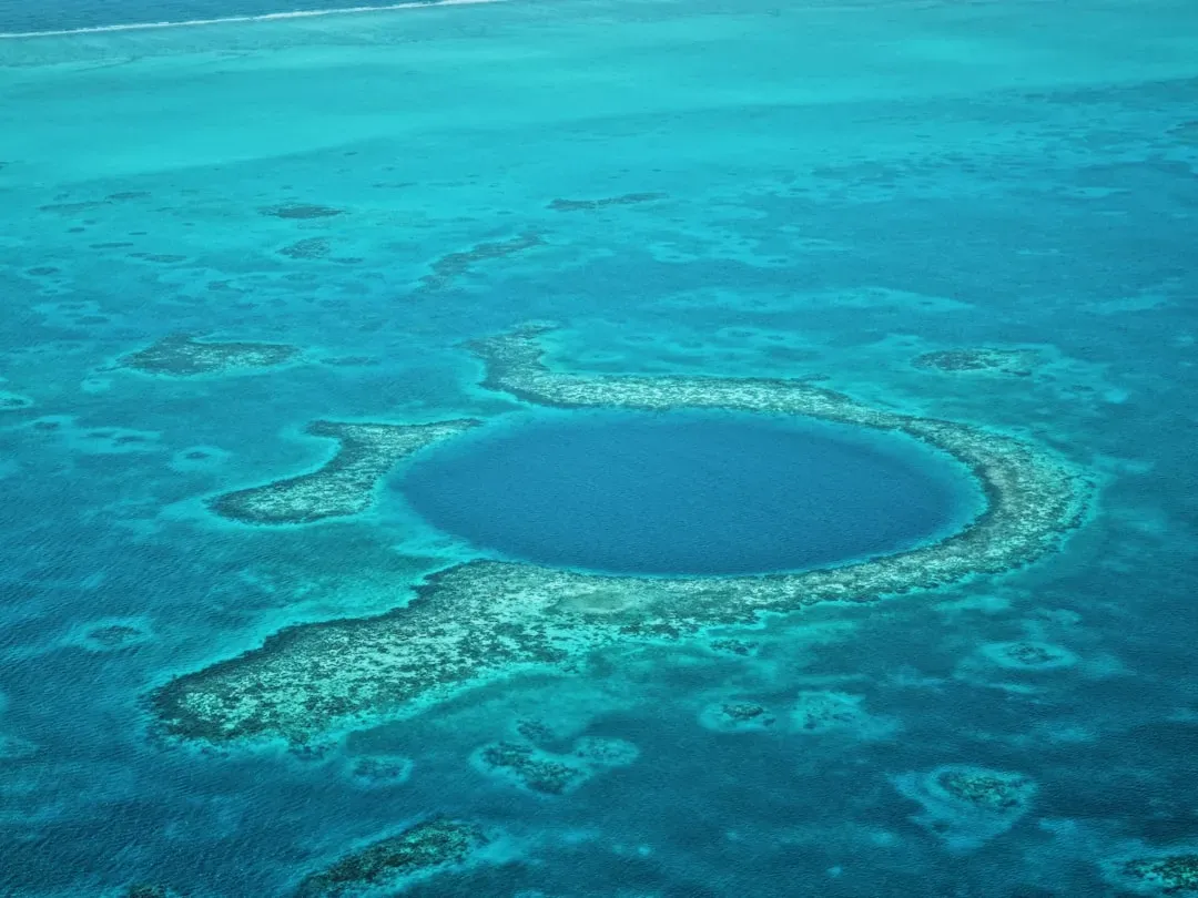
Occasionally, in very high-resolution maps, you’ll spot almost perfectly circular basins or ring-like scarps on the deep seafloor – the kind of shape that, at a glance, screams meteor impact. Problem is, their size, shape, and location often don’t match anything in the global impact record, and sediment cores rarely show the ejecta layer you’d expect from a real strike.
The alternative theories aren’t exotic: salt tectonics, where buried salt domes collapse; volcanic calderas blown open by explosive eruptions; or ancient, eroded ring complexes left over from long-dead plate boundaries. The catch is that plenty of these rings sit in places where none of those mechanisms are supposed to dominate. Some look partly buried, suggesting real age, while others cut into surprisingly young crust with almost no infill.
- Some rings stay almost perfectly circular over tens of kilometers.
- Others form partial arcs, hinting at a once-complete structure now half-buried or faulted away.
Oceanographers are careful here, because impact claims tend to spiral into sensationalism fast. The honest, uncomfortable middle ground is that we have ring-shaped features that don’t cleanly match any single, well-tested origin story – and the data needed to settle it is still thin.
#3 – The “Dead Cities” of Carbonate Chimneys
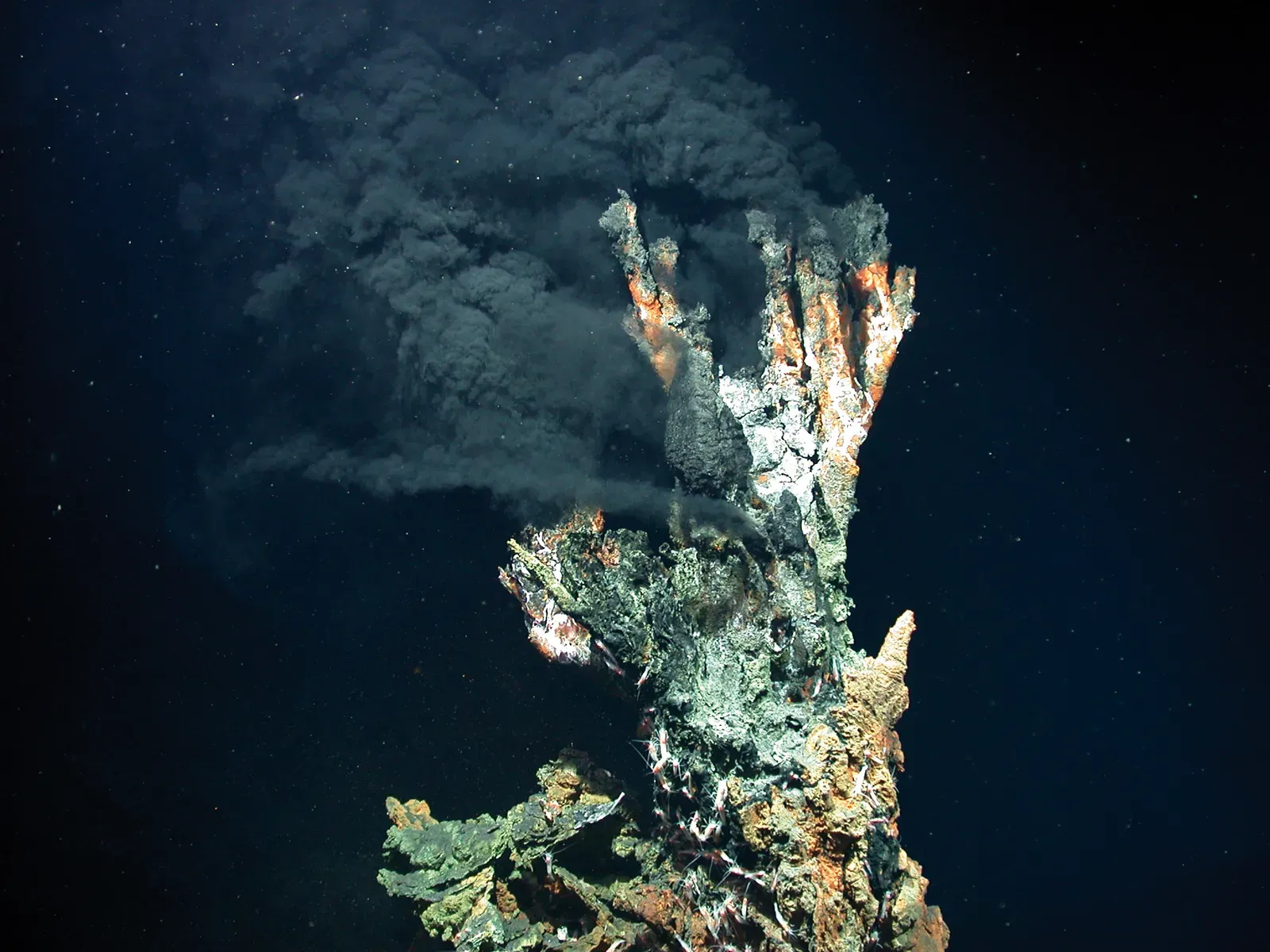
In several deep basins, ROVs have stumbled onto fields of towering carbonate chimneys, formed when mineral-rich fluids meet seawater and precipitate carbonate rock. Some, like the famous Lost City, are relatively well understood. Others are stranger – massive, sculpted spires and buttresses that look like ruined buildings, now fully inactive and chemically dead.
The confusion is about timing. Isotopic dating suggests some of these complexes formed during narrow windows of intense fluid flow, then shut off abruptly. But the current tectonic setting doesn’t cleanly explain why those pulses started or stopped, and in a few cases there’s no obvious heat source left and no clear fault visible in seismic imaging to have channeled the fluids in the first place.
- Biological life often lingers in pockets long after active venting has stopped.
- Some complexes show multiple chemical “generations” recorded in distinct layers.
Nobody’s mystified that carbonate chimneys exist; that part is textbook geochemistry. What experts admit they can’t yet explain is why certain spots build cathedral-scale structures that switch on and off like a geological light switch, while nearby ground with similar chemistry stays silent.
#2 – The Giant Underwater Staircases Cut Into Continental Slopes
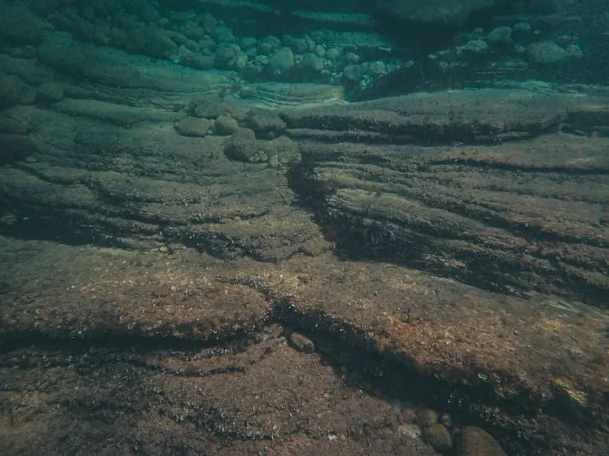
Along the edges of many continents, the seabed doesn’t slide smoothly down into the abyss the way you’d expect. Detailed mapping instead reveals tiers of broad, flat terraces – like a giant submerged staircase – cut into the slope at surprisingly regular depth intervals. Some line up with ancient sea-level stands from past ice ages. Others sit far deeper than conventional glacial theory comfortably explains.
One idea says these steps are scars from repeated slope failures, huge slices of sediment sliding off and leaving flat benches behind. Another suggests long-lived contour currents “planed” the slope at particular density levels in the water column. Neither model fully explains why, on some margins, these terraces recur at similar depths across huge distances – almost like the ocean paused at those exact levels far longer than climate records suggest it should have.
At a Glance
- Terraces form broad, flat tiers cut into continental slopes at surprisingly regular depth intervals.
- Some line up with known ice-age sea-level stands; others sit far deeper than glacial theory explains.
- In seismic profiles, some steps cut across older structures, implying a relatively young origin.
- Others are partially buried, pointing to multiple episodes of formation and infill.
Most oceanographers describe these as a mash-up of sea-level change, currents, and gravity failures. Privately, several admit that the sheer regularity of some terrace systems doesn’t fit neatly into any current reconstruction of past ocean states.
#1 – The Impossibly Smooth Basins at the Bottom of the Deepest Trenches
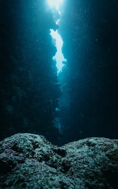
At the greatest depths on Earth – 8,000 to 10,000 meters down – common sense says the seafloor should be a rugged mess of fractures, debris, and tectonic scars. Instead, some of the deepest trenches hide astonishingly flat, smooth basin floors, as if someone took a planetary-scale sander to the bottom of the ocean.
The standard explanation is an ultra-slow rain of fine sediment falling steadily for tens of millions of years, gradually blanketing rough terrain underneath. That’s true, partly. But in several trenches, cores reveal surprisingly thin sediment layers given how flat the surface looks, and seismic data shows rough basement rock lurking just below the surface. Somehow, microscopic particles are arranging themselves into a near-perfect surface over a jagged foundation, despite constant earthquakes, subducting plates, and the occasional undersea landslide.
- Instruments have recorded quakes strong enough that they should visibly rattle and crack these basins.
- Yet broad swaths remain mirror-smooth at the scale of meters.
Most experts agree we’re missing key details about how sediment behaves under extreme pressure and constant seismic shaking. It’s not aliens, and it’s not a lost city. It’s physics we simply haven’t nailed down yet, quietly operating in the most inaccessible places on Earth.
Strip away the clickbait and the conspiracy theories, and what’s left is arguably more unsettling than either: the people who spend their careers mapping and modeling the seafloor openly admit there are entire categories of structures they can’t fully explain. Ghost volcanoes, frozen sediment waves, cold vents that shouldn’t still be alive, mirror-smooth trench floors – none of it is magic. It’s a symptom of how incomplete our data and our models still are, even in 2026.
Most of these puzzles will eventually bend to better instruments, longer time-series, and sharper maps. But right now, it’s honest to say the deep ocean is not a solved problem – it’s an active frontier where even “basic” features refuse to match the neat diagrams in geology textbooks. I’d argue that’s a sign of healthy science, not failure. So which of these seafloor mysteries do you think we’re underestimating the most, and why?