Every map is a kind of memory. Look closely enough and you start to see ghosts: paths that once pulsed with life and then quietly vanished. In some cases, when a route dies, another immediately takes its place. But every now and then, a road, railway, or sea lane disappears so completely that nothing really replaces it. The world adjusts, people re-route their lives, and the old corridor becomes a scar, a legend, or just an odd straight line on satellite images.
This article looks at eleven such routes: not just “closed roads,” but pathways whose disappearance forced lasting changes in how people move, trade, and connect. Some were victims of war, others of climate, economics, or politics. All of them have something to say about how fragile our connections really are – and how quickly the “obvious” way from A to B can stop existing at all.
As you read, try to imagine what it felt like to live along these routes on the day they truly went quiet. The train that never came. The ferry that stopped sailing. The convoy that never formed again. It is surprisingly easy to forget how recent and contingent many of our links are, until one of them breaks and no one ever bothers to fix it.
#1 The Berlin–Szczecin Direct Express Corridor
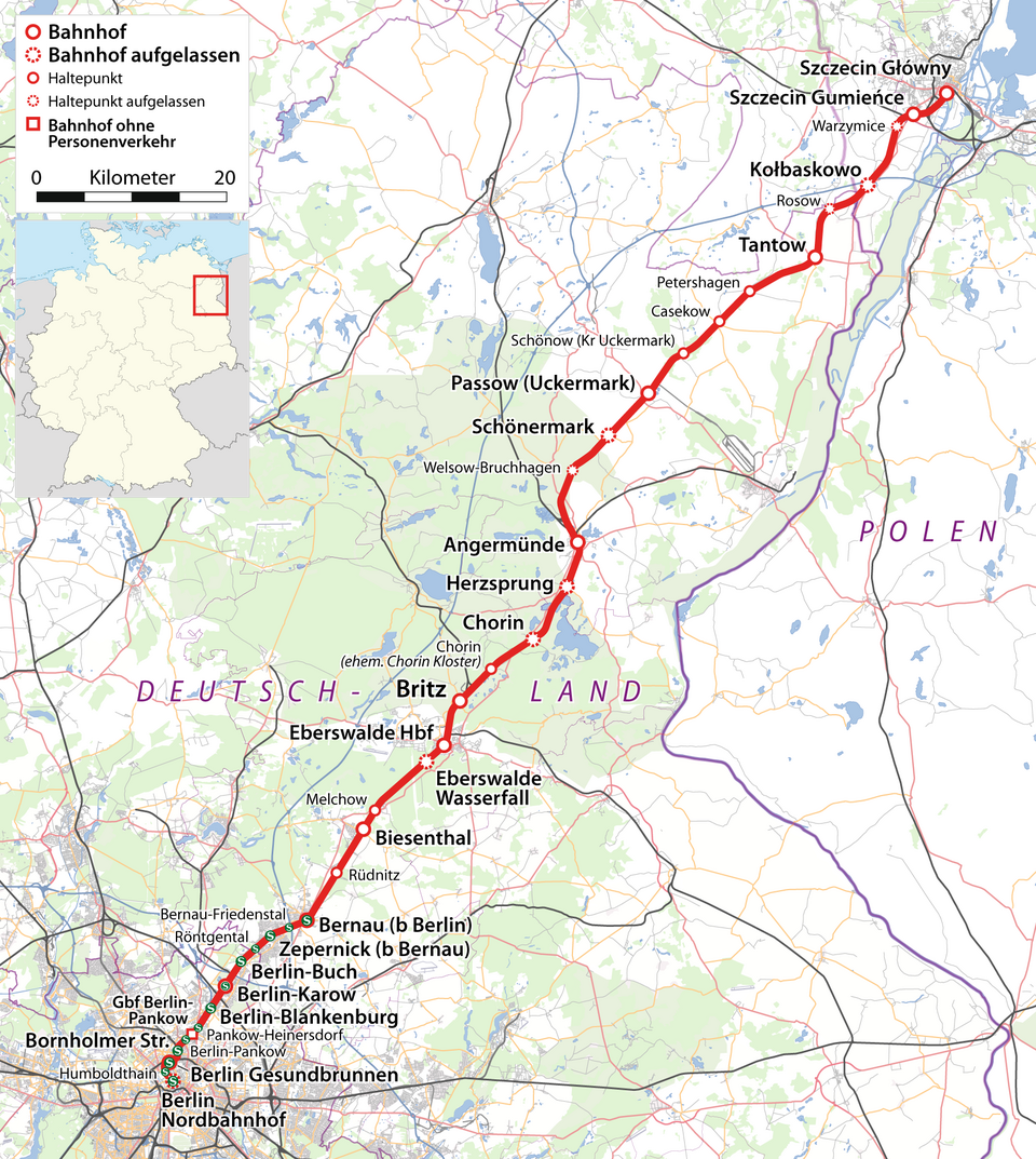
It sounds strange today, but one of the most natural east‑west rail corridors in Europe – between Berlin (Germany) and Szczecin (Poland) – once had fast, through services that simply do not exist anymore in anything like their former form. During the twentieth century, this axis was a strategic rail artery, especially when Szczecin (then Stettin) was tightly integrated into the German network. After borders shifted following the Second World War and political priorities changed during the Cold War, much of that seamless connectivity frayed and never truly recovered.
There are still trains between the two cities, but what vanished are the high‑priority, long‑distance routes that treated this as a major international hinge rather than a slightly awkward border branch. Where there were once dense timetables and prestige services, there are now slower, more regional lines, with gaps, changes of trains, and lower capacity. The path itself exists on the ground, but its old role as a primary east‑west corridor was effectively retired without being structurally replaced by an equally direct and ambitious route.
Transport planners sometimes talk about the “ghost” of this corridor when they draw up new European TEN‑T network maps. The demand for a strong Berlin–Baltic connection never fully went away; it just got pushed sideways onto longer, more circuitous routes. In practical terms, that means journeys that ought to be a straight horizontal line often zigzag instead through hubs that were never designed to handle so much connecting traffic.
- The tracks are still largely present, but the historic express function is gone.
- Cold War politics reshaped what was once a natural economic corridor.
- Plans keep resurfacing to “revive” it, which is a quiet admission that its original role was never truly replaced.
#2 The Pan Am North Atlantic “Clipper” Flying Boat Routes
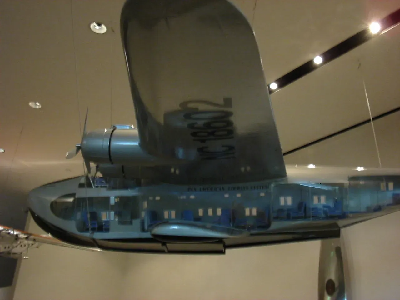
Before transatlantic jets became routine, flying boats were the glamorous, improbable way to cross the ocean. Pan American World Airways built a network of “Clipper” routes in the 1930s and 1940s that hopped between sheltered bays and lagoons – places like Botwood in Newfoundland, Foynes in Ireland, and island harbors in the Azores. These locations were chosen because they had calm water and enough space for large seaplanes to land and take off, long before there were long concrete runways everywhere.
When pressurized landplanes like the Boeing 707 and Douglas DC‑8 arrived, the logic of the entire system flipped. Instead of needing water, airlines now needed long, paved runways and modern terminals. The flying‑boat bases, often in remote or geographically awkward spots, had no compelling reason to remain major hubs. As jet travel took over in the 1950s and 1960s, the once‑prestigious seaplane routes were shut down outright. In many cases, no equivalent scheduled commercial route was created from the exact same origin to the exact same watery destination.
Modern North Atlantic flights connect large land airports – New York to London, Boston to Dublin, Toronto to Paris. Botwood’s harbor, for instance, no longer plays any role in mainstream civil aviation. There is no “replacement” for a route like New York–Botwood–Foynes by seaplane; the entire premise vanished. What survives is more of a memory than an infrastructure: museum exhibits, rusting hangars, and the occasional flying‑boat festival reminding people that, for a short, strange era, the most advanced transatlantic corridor did not touch land at all.
#3 The Soviet-Era Baikal–Amur Work Convoys
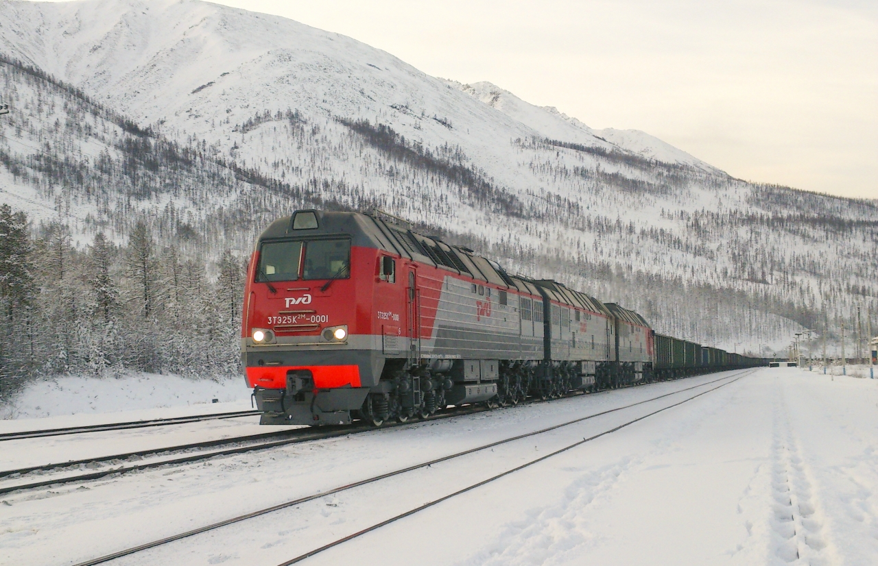
The Baikal–Amur region in Siberia is usually associated with the Baikal–Amur Mainline, a parallel cousin to the Trans‑Siberian Railway. But for decades, especially in the most intense construction phases, the real lifeline was not the finished track; it was the network of temporary work convoys, ice roads, and ad‑hoc winter routes used to bring people and materials into some of the most remote terrain on the planet. These were not commuter routes in the everyday sense, yet they were incredibly regular and structured, functioning season after season like a hidden highway system.
Once construction on major segments of the Baikal–Amur Mainline wound down and permanent rail infrastructure became operational, those seasonal supply routes lost their primary purpose. Many of the convoys stopped running; ice roads that were painstakingly carved into the permafrost each winter simply were not rebuilt. Because the official goal was always to replace them with conventional rail logistics, no one considered them worth preserving or upgrading for civilian mobility afterward.
The irony is that local communities along the old work corridors sometimes lost options when the temporary infrastructure disappeared. What had been a rough but direct winter road, or a regular work train that allowed locals to hitch rides, turned into an impassable stretch of forest once the project ended. The new mainline, meanwhile, often sat tens or hundreds of kilometers away, threading a more “rational” route optimized for long‑haul freight, not everyday regional connectivity.
- Project‑based routes were vital, then deliberately erased once the job was done.
- For some villages, the end of construction meant fewer travel choices, not more.
- These convoys remind us that “temporary” infrastructure can shape lives for an entire generation.
#4 The Yangon Circular’s Abandoned Branches
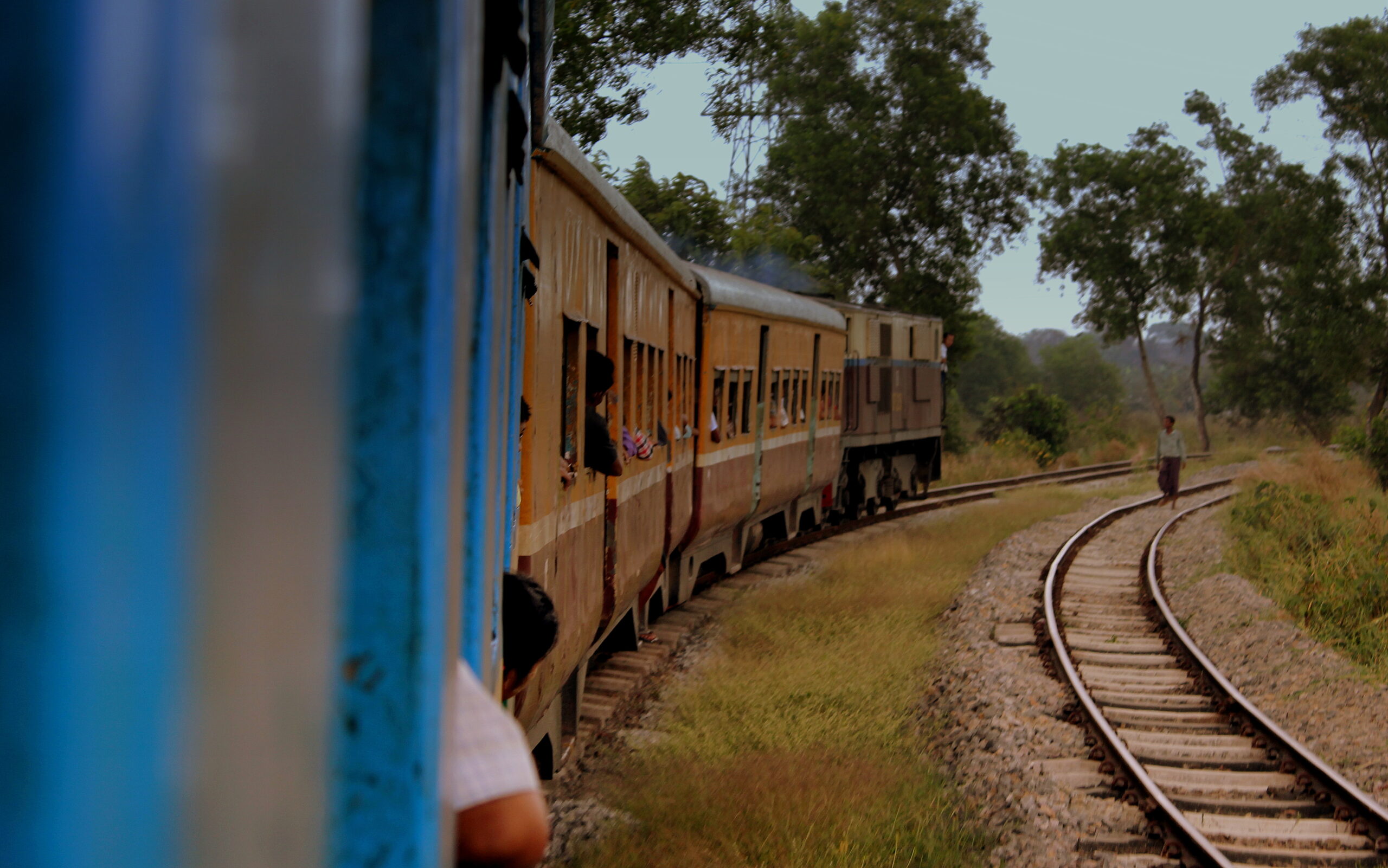
Yangon, Myanmar’s largest city, has a famous circular railway that still operates, creaking along and serving commuters and vendors. Less remembered are some of the short branch lines and spurs that once connected peripheral industrial zones and docks more directly into the circle. Over time, civil conflict, underinvestment, shifting economic priorities, and damage from weather and neglect took their toll. Some of these minor routes went from active to sporadic to completely silent.
On paper, “replacement” bus services or road corridors stepped in. On the ground, though, what vanished was the simple, predictable feeling of being able to step onto a train and know it would run, even slowly, in nearly any weather. The dying branches became overgrown, their tracks buckling in the tropical heat. In a few cases, they were physically ripped up for scrap during periods of intense economic stress, which effectively locked in their disappearance.
I remember seeing photos of kids playing football on an old right‑of‑way in Yangon, the rails still half‑visible through patches of grass. That kind of image sticks with you. Once a community normalizes using the track bed as a playground or market, the psychological idea of “this is a transport route” evaporates. Without significant and unlikely investment, those specific alignments are gone from the city’s practical transport geography. New bus routes exist, yes – but not in those precise corridors, and with very different rhythms and capacities.
#5 The Old Darjeeling Hill Cart Road, India
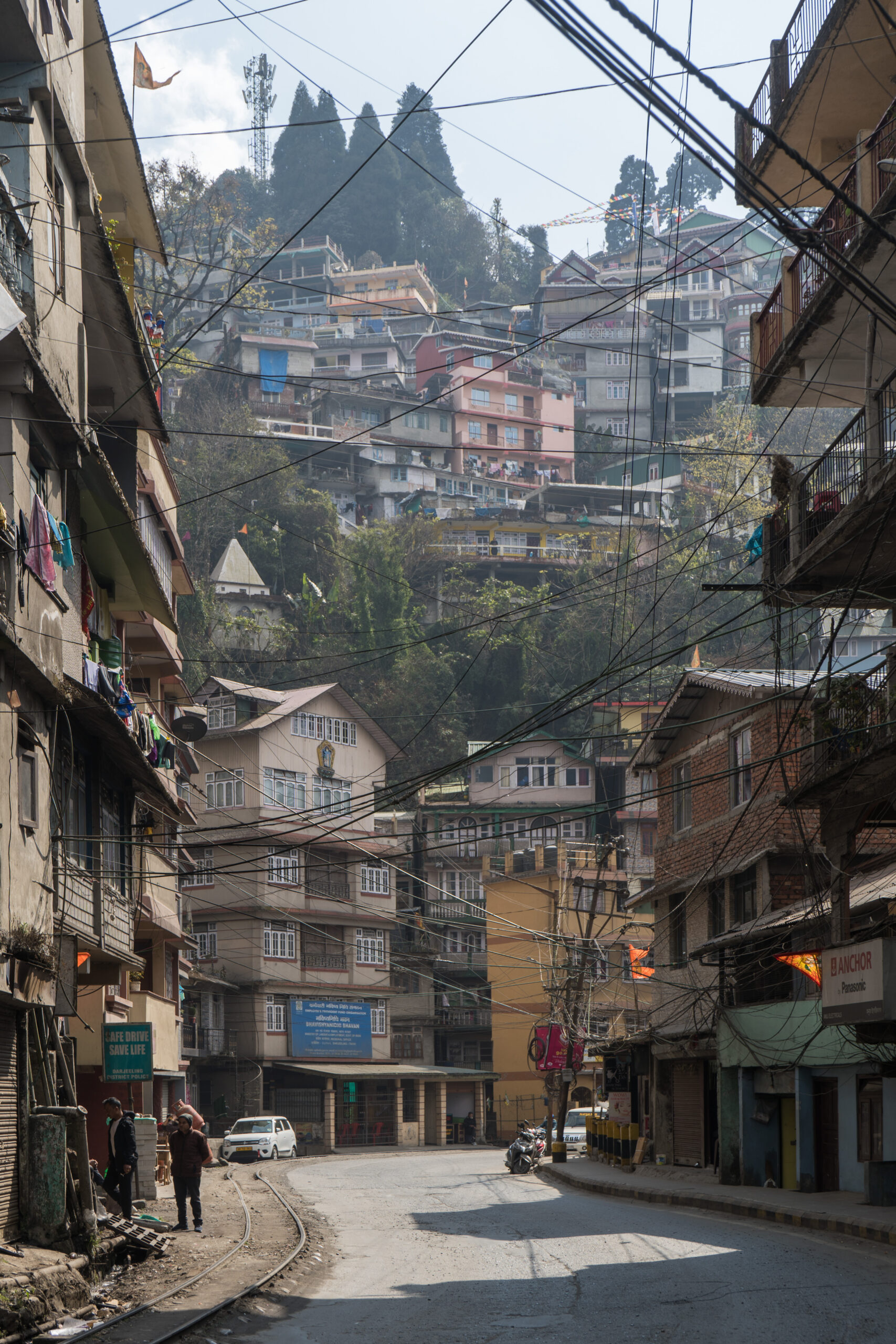
High in the eastern Himalayas, access to Darjeeling was once dominated by the Hill Cart Road, an engineered route that wound its way up terrifying slopes. Before modern highways and widespread car ownership, this road – and later, the narrow‑gauge Darjeeling Himalayan Railway that paralleled parts of it – was an essential colonial artery. Traders, officials, and local residents all depended on it to move tea, supplies, and people between the lowlands and the hill stations.
Over the twentieth century, repeated landslides, monsoon damage, and changing engineering standards led to sections of the old Hill Cart Road being bypassed, truncated, or abandoned. Newer alignments with better gradients and stronger retaining walls were constructed nearby. In practice, that meant that some segments stopped seeing regular traffic long before they were formally closed. When collapses finally made them unusable, repairs often did not come; authorities focused on the newer, “official” highway instead.
The result is a patchwork of ghost infrastructure. You can still find bits of the old road – stone parapets, hairpin bends carved into rock, fragments of culverts – cut off from the modern network. No replacement road was ever built along those exact lines because engineers decided to re‑imagine the route completely rather than duplicate a flawed corridor. For hikers and history‑minded travelers, these abandoned stretches are fascinating. For locals who once walked, carted, or drove along them daily, they are a reminder that even mountain roads can be disposable.
- Severe landslides gradually pushed traffic onto newer alignments.
- Authorities chose to invest in fresh corridors rather than repair shaky legacy sections.
- The old route survives more as heritage than as living infrastructure.
#6 The Pre‑Tunnel Roll‑On Ferries of the English Channel
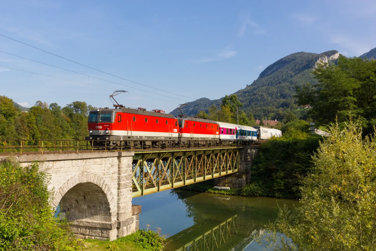
Everyone knows the Channel Tunnel changed travel between Britain and continental Europe. What gets less attention is the specific network of short, high‑frequency roll‑on roll‑off ferry crossings that shrank or disappeared as a result, especially for certain ports whose traffic depended on direct car and truck flows. Before the tunnel opened in the mid‑1990s, routes like Folkestone–Boulogne or Newhaven–Dieppe had a very different strategic weight. They were not just alternatives; for many hauliers and drivers, they were the default.
As trade patterns consolidated around the quickest links between major motorways, some of these ferry lines were progressively scaled back. A few closed altogether. While the English Channel still sees plenty of ferries, the precise combination of ports, sailing frequencies, and pricing that shaped overland European logistics in the 1970s and 1980s is gone. The tunnel fundamentally rewrote the map, pulling flows toward its own terminals and away from smaller harbors that could not match the tunnel’s speed or reliability.
In theory, ships could always be reintroduced, and occasionally there are attempts to revive or rebrand old routes. But the original patterns – night crossings with dedicated truck decks, particular routines of customs and rest stops – are effectively extinct. No new maritime route has emerged that plays quite the same role for the affected smaller ports. For coastal towns that used to orient their identities around those specific ferries, the sense of loss can be surprisingly personal, like living in a house whose front door has been bricked up.
#7 The Cross‑Border Tramways of Central Europe
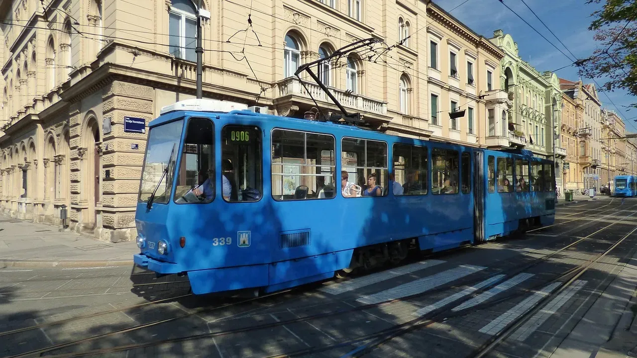
Before the First World War shattered empires and redrew borders, urban tram systems in parts of Central Europe often crossed frontiers so casually that passengers barely noticed. You could ride a tram from what is now one country straight into another without a dramatic station change; the line might simply keep going across a bridge or through a shared factory district. After the war, and especially after the Second World War, these cross‑border routes became politically awkward, economically fragile, or both.
Some were cut at the new borders and never restored. Bus lines or mainline rail services might have been introduced nearby, but the idea of a simple, local, electric tram trundling from one nation into another mostly disappeared outside a handful of special cases. In the Cold War climate, authorities were understandably nervous about easy, unpoliced movements across the Iron Curtain, and trams were far too accessible and hard to control compared with international trains with passport checks.
By the time borders softened and then opened again in the late twentieth and early twenty‑first centuries, urban planners had often reshaped networks inward, away from old border gates. Restoring a tram across the frontier would mean renegotiating land use, rebuilding track, and aligning timetables and standards across two or more national bureaucracies. In many cities, it was just easier to leave those ghostly alignments as historical footnotes. The replaced modes – usually buses or private cars – do the job in a blunt way, but the underlying routes, right down the old streets, were never truly reborn.
- Pre‑war tram routes were casually cross‑border in a way that is hard to imagine now.
- Political fragmentation and security concerns helped kill them.
- Re‑creating them today would be complex, so many stay dormant despite open borders.
#8 The Historic Caravans of the Trans‑Saharan Trade

For centuries, trans‑Saharan caravan routes carried salt, gold, textiles, and enslaved people between North and West Africa. These were not “roads” in a modern engineering sense, but stable corridors of movement, with established oases, resting points, and rhythms. A caravan master knew the line between Timbuktu and the Maghreb as intimately as a ship’s captain knows a coastal passage. The exact tracks might shift with weather and security conditions, but the routes themselves, as social institutions, were astonishingly resilient.
The rise of coastal shipping, colonial railways, and eventually paved highways gradually eroded the economic logic of long desert caravans. Motorized trucks can carry more, faster, and with less dependence on fragile oases and camel fodder. As states asserted control over desert spaces and borders, many traditional paths became either too risky or too regulated to sustain their old traffic. What remained was often a lattice of informal, sometimes illicit, smuggling paths rather than the formal trade arteries that once underpinned entire cities.
Modern roads do exist in parts of the Sahara, but they typically follow alignments chosen for engineering or political convenience, not as one‑to‑one replacements for the historical caravan axes. That means some once‑famous lines have no modern counterpart at all; their associated waystations faded or were abandoned. When people romanticize the old caravans, they often do not realize that several of those exact cross‑desert “routes” are effectively dead. Satellite images sometimes still show faint tracks and ruined caravanserais, but in human terms, the path is gone.
#9 The Original Route of the Orient Express
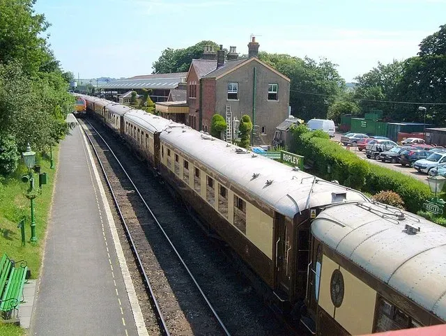
The name “Orient Express” has taken on a life of its own, tied up with novels, films, and luxury tourism. What is easy to miss is that the legendary train’s original route – linking Paris to Constantinople (now Istanbul) via a specific chain of cities and frontier crossings – has not operated in its historic form for a long time. Wars, new borders, changing timetables, and evolving railway priorities chipped away at the original alignment until the brand survived more as a marketing echo than a literal, continuous route.
Later trains bearing the Orient Express name took different paths, skipped cities, or ended short of Istanbul. Eventually, the scheduled service itself ceased, leaving only heritage runs and private luxury trains that evoke the vibe without replicating the old operating pattern. Freight and passenger trains still crisscross the region, of course, and you can absolutely travel from Paris to Istanbul by rail with enough changes. But the specific, single‑train route that once defined the Orient Express experience is gone.
No new direct train has stepped in to occupy that exact corridor with similar prestige and continuity. The modern European rail network is more hub‑and‑spoke than grand‑arc. High‑speed lines bend toward national capitals and big business corridors, not romantic, multi‑day odysseys. In that sense, the Orient Express is a perfect example of a route whose myth persists long after the actual, physical line of service quietly fell out of use and stayed that way.
- The original Paris‑to‑Istanbul alignment changed repeatedly before disappearing.
- Today’s luxury “Orient Express” offerings are tributes, not literal continuations.
- The modern rail map favors practicality over continuous, symbolic routes.
#10 The North American Interurban Electric “Radials”
In the early twentieth century, North America was laced with interurban electric railways: light‑rail style lines radiating from cities into surrounding towns and countryside. Places like southern Ontario, the American Midwest, and parts of California had dense webs of these so‑called “radials,” often running down the middle of roads or on private rights‑of‑way just outside them. They were cheap to ride, relatively frequent, and absolutely central to how people commuted, went shopping, or visited relatives beyond walking distance.
The rise of private automobiles, improved roads, and a deeply cultural turn toward car‑oriented lifestyles gutted the interurban business model. Through the 1920s, 1930s, and into the postwar years, lines were abandoned or converted into bus routes that rarely matched the original service frequency or comfort. In a telling detail, many of these corridors were later repurposed for highways or simply built over, cementing their disappearance in the physical landscape as well as in the timetable.
Today’s light‑rail revivals in cities like Los Angeles, Seattle, or Toronto sometimes follow broadly similar directions to one or two of the old radials, but they almost never reoccupy the entire original alignments. Key segments were lost to development or freeways. So while we talk about “bringing back streetcars” or “re‑creating regional rail,” the fact remains: many interurban routes that once existed end to end have no exact replacement. You can drive along roughly the same path, sure, but the point‑to‑point, rail‑based experience that once made those routes feel inevitable is gone.
#11 The Original Route 66 Alignment Through Ghost Town America
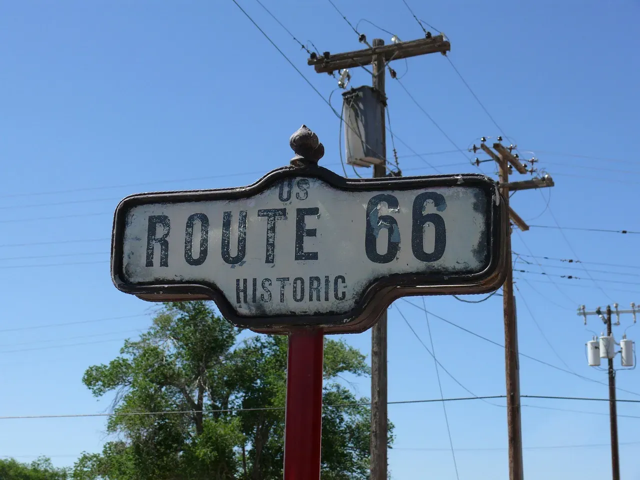
Few roads carry as much symbolic weight as U.S. Route 66, the “Main Street of America.” What many people miss is that “Route 66” was not just one concrete line, but a series of alignments that shifted over the decades. Some of the earliest stretches wound directly through small downtowns, over narrow bridges, and along primitive pavements that later engineers judged too slow or unsafe. When the Interstate Highway System arrived, great swaths of original 66 were bypassed, then decommissioned altogether.
In some regions, Interstate 40 or other freeways roughly shadow the old road, but that is not the same thing as replacing it. Segments were left isolated, cut off by new grade‑separated interchanges that made it awkward to even find the old route, let alone use it as a continuous cross‑country corridor. Towns that had once lived off steady streams of passing motorists suddenly found themselves at the end of a quiet, truncated local road. The through‑route had moved, and nothing filled the old channel.
I once drove a surviving fragment of old 66 in New Mexico and was struck by how final the abandonment felt. You could see the ghost of the old logic: diners at logical lunch stops, motels at plausible day‑length intervals, gas stations placed just where older cars would need them. All of that made sense only when the road was a living artery. Once the interstate took over, that choreography shattered. No new signed federal route stitched those ghost towns back into a single, coherent path; they remain beads on a string whose middle has snapped.
- Early Route 66 sections were left stranded when interstates took the long‑haul traffic.
- Some fragments survive as local roads or heritage “byways,” not as a national corridor.
- The culture lives on, but the original continuous road, in its earliest form, does not.
Conclusion: When a Line on the Map Is Really a Lifeline
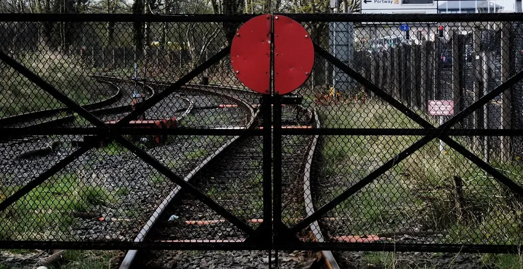
If there is a common thread running through these eleven stories, it is that a transport route is never just infrastructure. It is a habit, a promise, and often an identity. When a route disappears without a genuine replacement, people do not simply take “the next best option” and move on; whole ways of living can wither. Towns that depended on ferries, traders who lived by caravan rhythms, commuters who timed their days to interurban cars – all of them lose something that a generic bus line or distant highway cannot quite give back.
It is tempting to see this as pure progress: old, slow, or unsafe routes giving way to faster, more efficient systems. But progress can be blunt. We trade redundancy for optimization, subtle local links for a handful of mega‑corridors. My own view is that we have been a little too casual about letting certain paths die completely, especially when they served communities that lacked the political clout to defend their lifelines. A more cautious, humane approach would treat routes not as disposable, but as social contracts that deserve serious thought before being cut.
Next time you glance at a map, it might be worth asking a slightly unsettling question: what vanished lines are you not seeing? And if a route that matters to you disappeared tomorrow, are you sure anything would truly replace it – or would it quietly join the list of ghost paths we only remember when it is already too late?