
You think of jungles as empty green oceans of trees, but under those canopies, whole worlds have been hiding in plain sight. In the past few decades, archaeologists have pulled back the curtain using lasers, satellites, and a lot of mud-soaked fieldwork, and what they’ve found is rewriting what you probably learned in school about “primitive” rainforest societies.
As you read through these ten lost settlements, you’ll notice a pattern: again and again, people built dense cities, engineered landscapes, and complex road systems right where you might assume nobody could possibly thrive. You’re not just hearing about single temples swallowed by vines; you’re looking at entire urban regions, sometimes as big as modern metropolitan areas, that were far larger, busier, and more sophisticated than anyone expected.
Angkor, Cambodia: More Than Just A Temple Complex
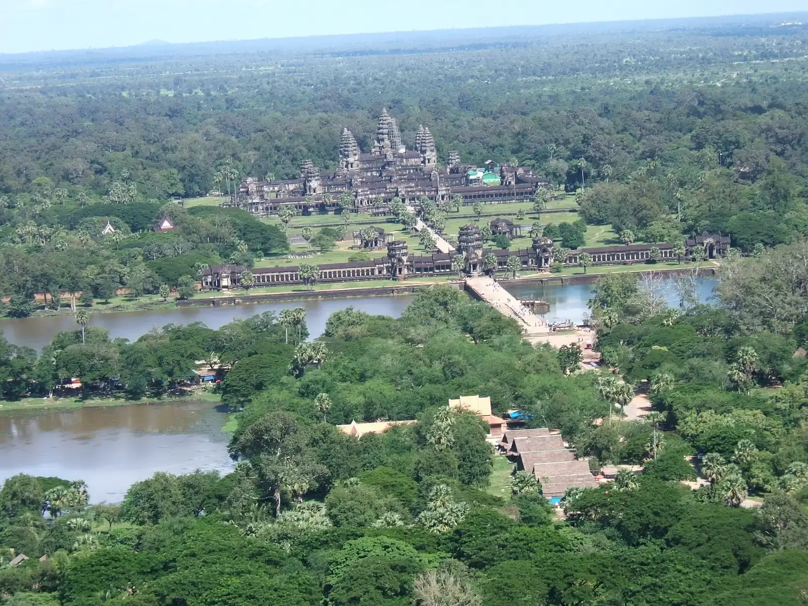
When you think of Angkor, you probably picture a photogenic temple tower at sunrise reflected in a moat. But if you could hover over the Cambodian jungle and peel back the trees, you’d see something that looks more like a sprawling low-density megacity, laced with reservoirs, canals, and suburban-style neighborhoods stretching for miles. Laser mapping from the air revealed that what you may have thought of as a temple complex is only the monumental core of a much larger urban landscape.
You’re looking at an area that, at its height, probably covered hundreds of square miles, with population estimates running into the hundreds of thousands. Instead of scattered villagers hacking a living from the forest, you had people building engineered water systems, gridded streets, and dense clusters of wooden houses that have long since rotted away. The stone temples survived, but once you know the scale of the city wrapped around them, Angkor stops being a romantic ruin and starts feeling like a tropical version of a modern metropolis.
Caracol, Belize: A Maya City That Rivaled A Modern Capital
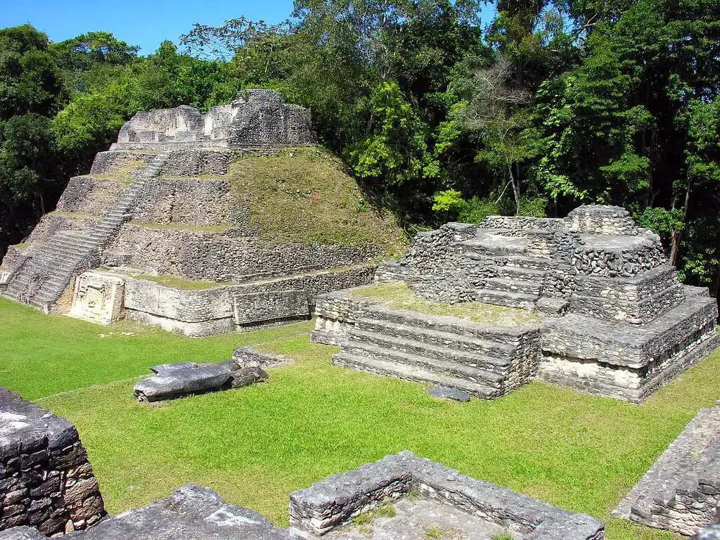
If you hike into the jungles of Belize to Caracol, it feels like you’re just climbing one unusually large pyramid in the middle of nowhere. What you do not see from the ground is that Caracol was once a city that covered an area bigger than many present-day capital regions, complete with causeways, markets, and suburbs spreading out into the forest. For years, archaeologists underestimated it because vegetation hid almost everything that wasn’t made of stone.
Once airborne laser scans pierced the canopy, you could suddenly trace broad causeways connecting Caracol’s ceremonial center to distant hilltop neighborhoods and agricultural terraces. You’re talking about a city that may have had a population in the tens or even hundreds of thousands, not a minor outpost. When you see the map of the full settlement for the first time, the jungle you’d thought of as “untouched” flips in your mind into a ghostly urban grid, overgrown but still legible from the sky.
Tikal’s Hidden Neighborhoods, Guatemala: The City Beyond The Temples
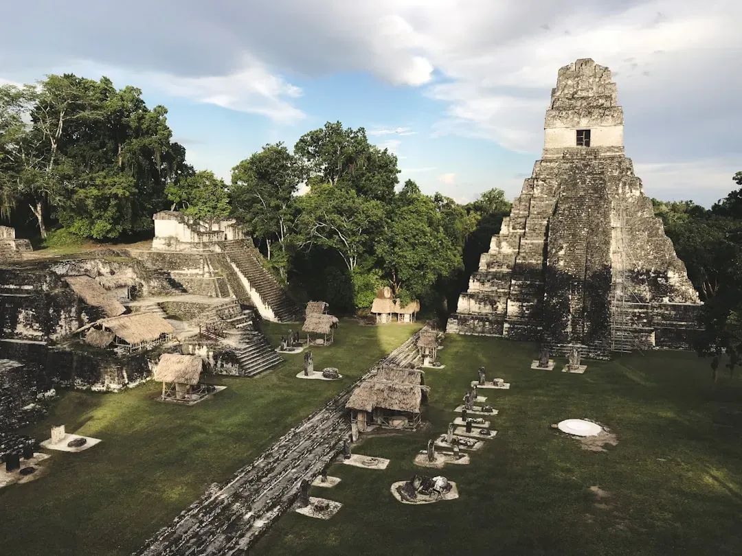
You’ve probably seen Tikal’s famous pyramids poking above the Guatemalan rainforest, iconic enough to show up in science-fiction movies. Those towers made people assume they understood the site: a ceremonial core with a few surrounding structures. What recent mapping has shown you is that those towering temples were just the skyline of a much larger city, with residential districts, roads, and fortifications sprawling across the jungle.
When you look at the laser-based terrain model, you can follow lines of causeways running like highways, linking distant complexes that had been dismissed as isolated sites. You realize you’re not dealing with a handful of elite buildings, but with carefully organized neighborhoods where thousands of ordinary people lived. Tikal becomes less a mysterious set of pyramids and more a bustling urban center, one that grew far beyond what early explorers and even many scholars imagined when they hacked through the vines with machetes.
Calakmul’s Jungle Megacity, Mexico: A Rival Empire In The Trees
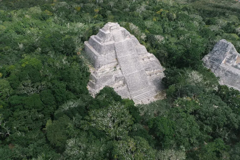
Deep in the forests of Mexico’s Yucatán, Calakmul was long known as the seat of a powerful Maya kingdom. Still, you might have pictured it as a royal stronghold with some surrounding settlements, nothing beyond a typical ancient city-state. Only once the surrounding jungle was scanned did it become clear that Calakmul sat at the heart of an enormous urban web, with dense settlement, terraces, and roads covering a region far larger than expected.
If you spread out the new maps on a table, you’d see hill after hill traced with platforms, plazas, and house mounds, forming something like a green, overgrown suburbia. The city looks less like a single cluster and more like a metropolitan region that grew organically, linked by engineered causeways and surrounded by heavily managed farmland. In your mind, it shifts from an isolated jungle capital to a true rival to other great Maya centers, on a scale that challenges the old idea of scattered, disconnected city-states.
Mahendraparvata, Cambodia: The Vanished City On The Mountain
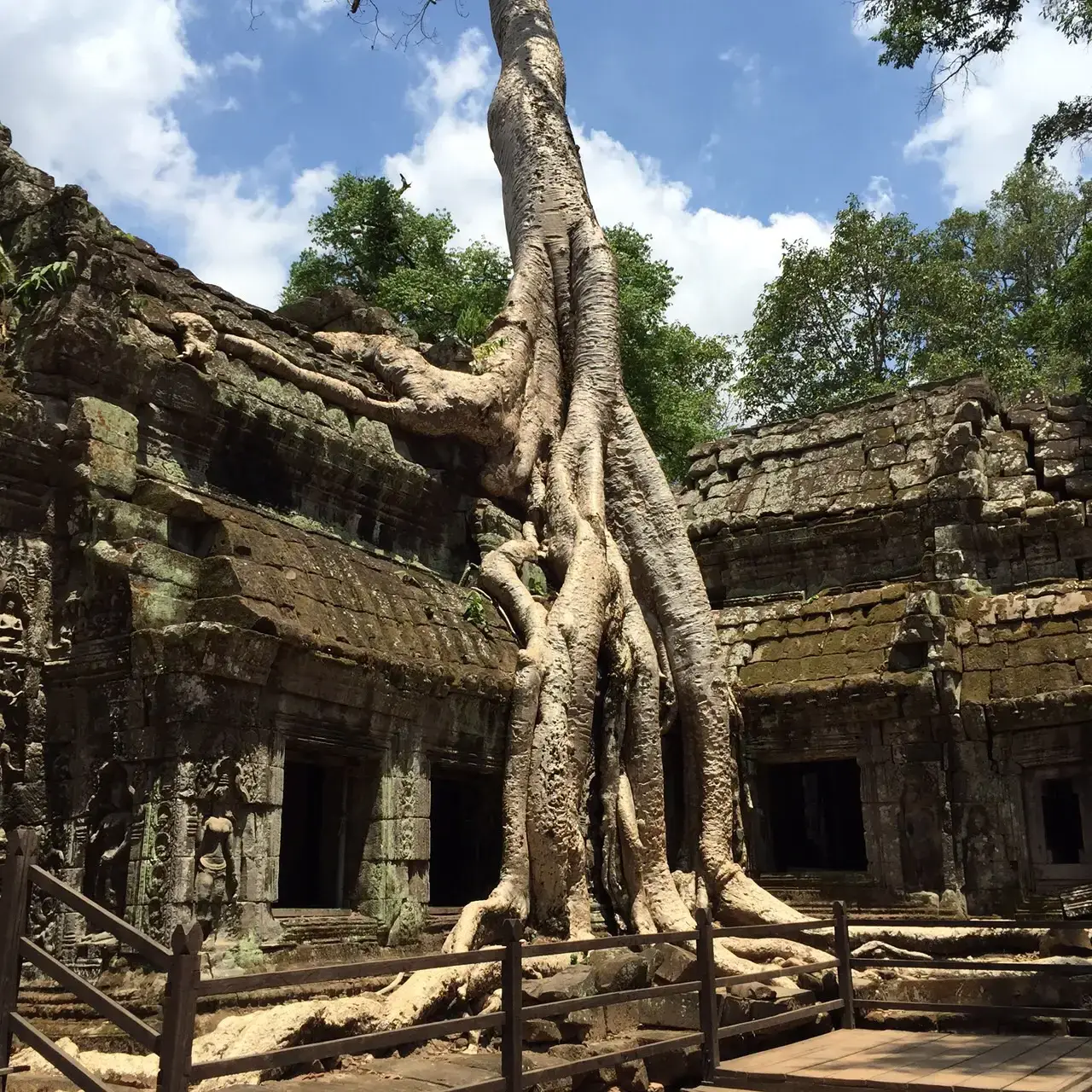
On Phnom Kulen, a forested plateau northeast of Angkor, explorers long suspected there was an early Khmer city, but you would not have guessed how big it really was by walking through the trees. Temples poked out here and there, but there was no clear sense of a planned town, let alone something urban in scale. Once laser mapping stripped away the vegetation digitally, you could suddenly see a gridded street pattern, water channels, and building platforms stretched across the plateau.
What you’re looking at with Mahendraparvata is an early experiment in city-building that turned out to be much more ambitious than anyone thought. Instead of a scatter of shrines, you have a planned settlement that foreshadows what would later happen at Angkor, with straight roads and structured neighborhoods. The jungle had almost perfectly erased the built environment from view, but from the air, the mountain reveals a ghost city that lets you trace the early steps of an empire learning how to build big.
The Amazonian Geoglyph Cities, Brazil and Bolivia: Urbanism Without Stone
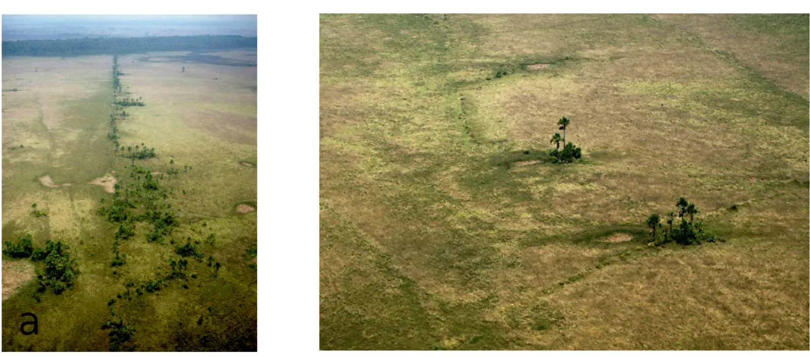
If you grew up hearing that the Amazon was a pristine wilderness with scattered small tribes, the idea of large cities there might sound far-fetched. Yet when deforestation and later aerial surveys exposed odd earthworks – huge geometric shapes and ditches – you were seeing the surviving outlines of settlements that never relied on stone at all. Under the forest, researchers have found networks of earth-built structures, roads, and field systems that point to dense populations spread across wide areas.
Because these societies built in soil and wood, you don’t have ruined temples or towering pyramids to guide your imagination, just subtle platforms and embankments barely peeking through the ground. Still, when you put the pieces together, you’re looking at regions that likely supported large, organized communities, maybe even urban clusters. The jungle here hid not only the settlements themselves but an entire alternative way of city-building, one that was almost invisible until modern tools and careful excavation forced you to reconsider what “urban” can look like in a rainforest.
La Ciudad Blanca / The Mosquitia Complex, Honduras: The Myth That Wasn’t Entirely Mythical
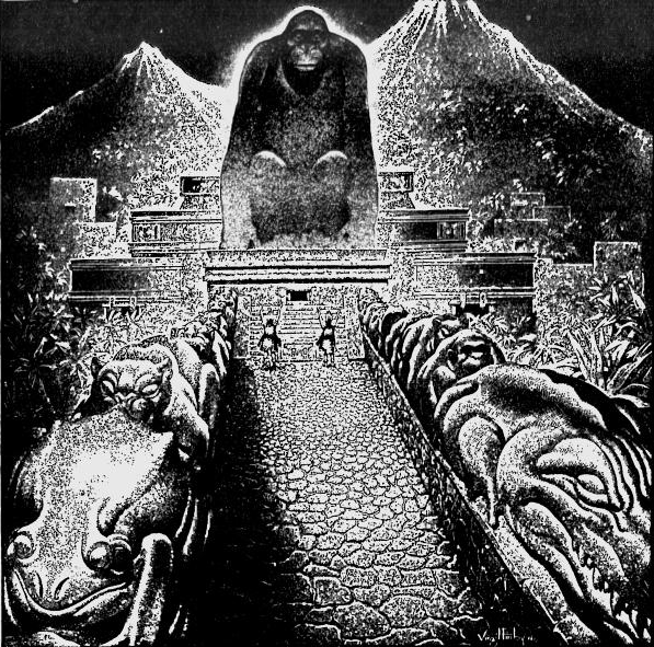
You might have heard stories about the legendary “White City” in Honduras, often treated as more myth than history. For a long time, the dense Mosquitia rainforest seemed to hold only rumors and a few scattered ruins, nothing to match the legend. But when aerial laser scans were flown over the region, they revealed clusters of plazas, mounds, and terraces – multiple settlements, in fact – hidden under the canopy and connected by landscape modifications.
When you see the images, it hits you that people were shaping these supposedly wild valleys into planned spaces, with ceremonial centers ringed by residential zones and agricultural features. The scale does not point to a single glittering city made of white stone as in the tales, but it does show you a broader cultural landscape with settlements much larger than anyone had documented. In a sense, you discover that the legend grew out of something real: a dense, organized human presence that the jungle had carefully tucked away.
Guaytacama–Tena Region’s Hidden Andes–Amazon Towns, Ecuador: The Borderland Cities
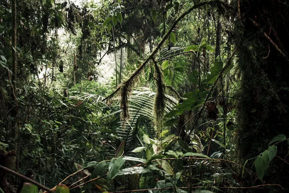
At the edge where the Andes drop toward the Amazon, you might assume you’d find only small villages clinging to steep slopes and forest margins. What recent surveys and excavations have started to show instead is a patchwork of ancient settlements, some with evidence of planned streets, terraces, and defensive works. From the ground, they can feel like isolated hilltop sites, but when you look at broader mapping, you see a more continuous pattern of occupation.
These were not single farmsteads lost in the green; they were communities interacting across valleys, building earthworks, and managing the landscape in a coordinated way. While the full scale is still being worked out, you can already tell that the population density and complexity here were much higher than older models suggested. You get a picture of frontier cities thriving in the transition zone between mountains and jungle, quietly rewriting what you thought you knew about how far organized settlement pushed into this region.
Uxbenká and The Rio Blanco Settlements, Belize: A Network Hidden In Plain Sight
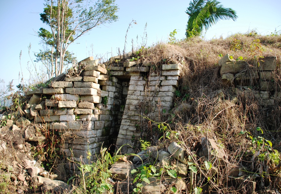
When you first hear about Uxbenká in southern Belize, it sounds like another modest Maya site: a few stone structures, some carved monuments, and a jungle backdrop. But when archaeologists mapped the entire Rio Blanco valley with precision, you could trace the outlines of numerous interconnected residential clusters, terraces, and roadways. Suddenly Uxbenká stops being one dot on the map and becomes the central node in a wider, surprisingly dense network of settlements.
From your perspective, that means envisioning not a lone ceremonial center but a lived-in landscape filled with farm plots, small plazas, and house groups stretching up and down the valley. People here were not just surviving in the forest; they were engineering it, adjusting slopes, building retaining walls, and weaving their homes into a carefully managed environment. The whole region turns into a patchwork of communities that together rival the scale of better-known city-states, quietly hidden beneath the canopy for centuries.
Koh Ker, Cambodia: The Short-Lived Capital With Oversized Ambitions
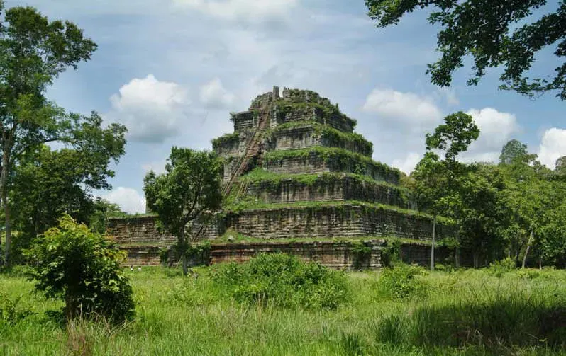
Koh Ker was known as a brief royal capital of the Khmer Empire, so you might imagine a compact, temporary court complex that faded quickly back into the jungle. What detailed surveys have shown you instead is a surprisingly extensive urban system radiating from its central pyramid-like temple. Reservoirs, roads, and dispersed habitation areas stretch far beyond what early excavators guessed, signaling a city that was much more than a transient royal camp.
When you picture Koh Ker now, you see not just a dramatic stepped monument rising from the trees, but a planned hydraulic landscape feeding fields and supporting a substantial population. Even if the city held the capital status for a relatively short time, its footprint suggests long-term investment and urban ambition. The jungle almost pulled off the trick of convincing you it was only a minor detour in Khmer history, until the full scale of the settlement emerged from beneath the leaves.
Conclusion: Rethinking What A “Jungle” Really Hides
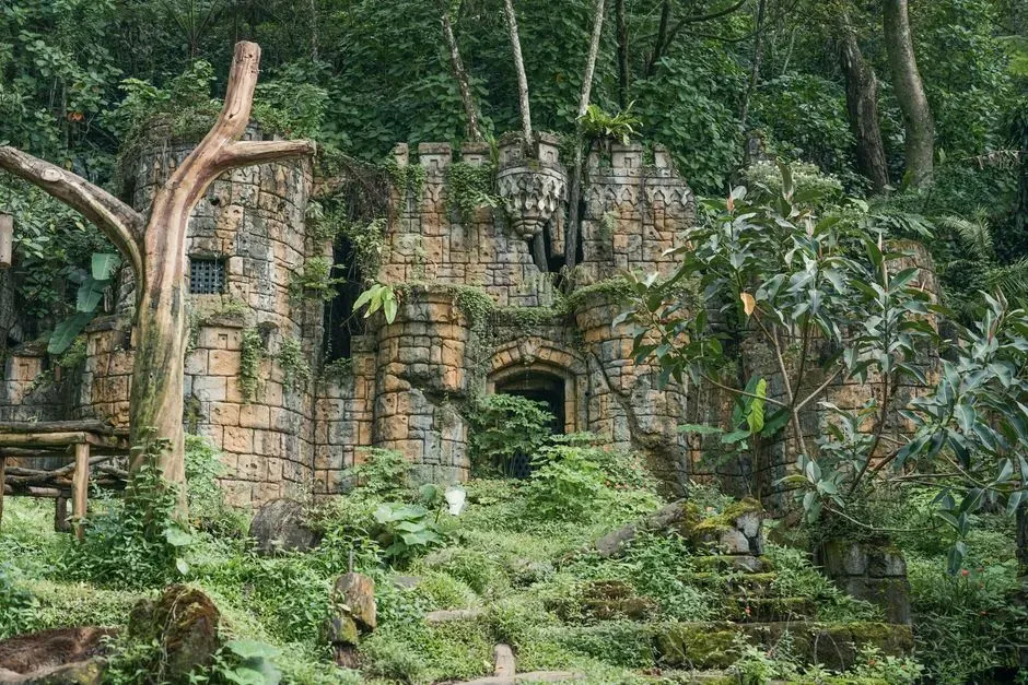
By the time you step back from these ten sites, it’s hard to see tropical rainforests the same way again. Instead of untouched nature dotted with a few ruins, you start to recognize vast, layered cultural landscapes, where people built, farmed, and governed at scales on par with some of the most famous ancient cities on Earth. The jungle, you realize, is not just a blanket of plants; it’s also a kind of memory foam, slowly covering and preserving the imprint of past urban experiments.
This matters for you not only because it is fascinating, but because it changes how you think about what humans are capable of in challenging environments. You discover that complex cities can rise in places you once wrote off as uninhabitable, and that the stories you learned about “simple” forest societies often miss centuries of sophisticated engineering and planning. Next time you see a photo of endless green canopy, you might find yourself wondering: how many more lost settlements, larger than anyone expects today, are still hiding just a few meters below those leaves?