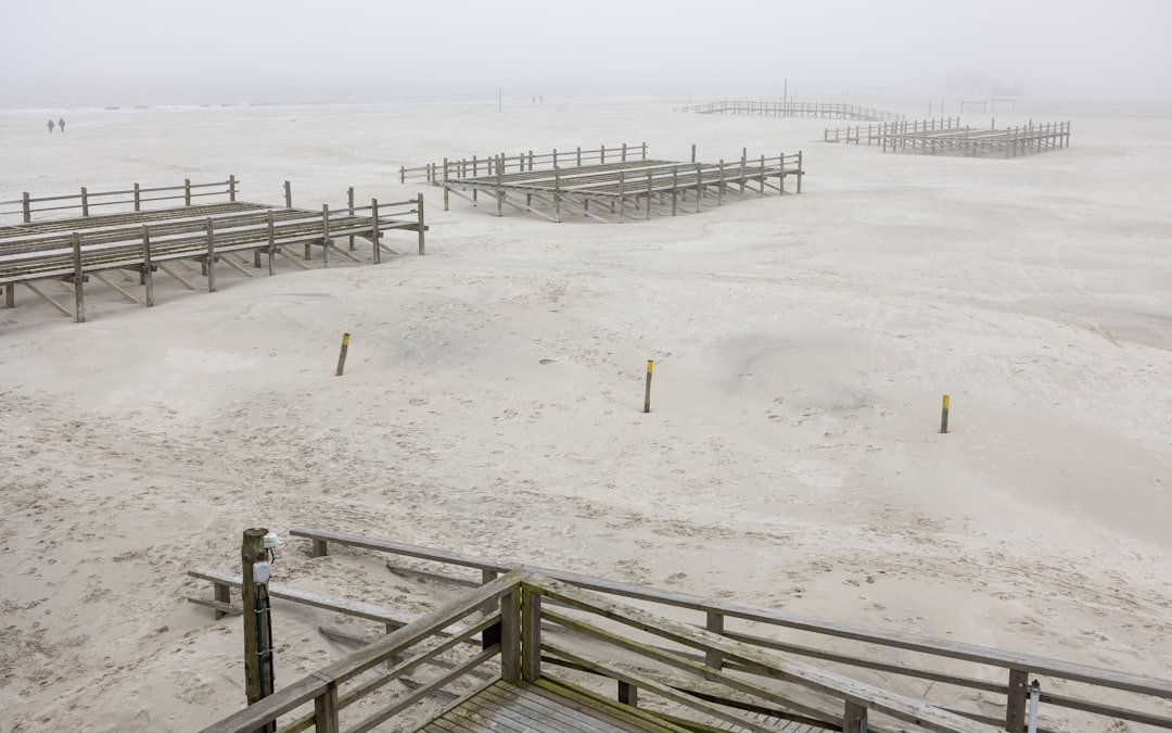
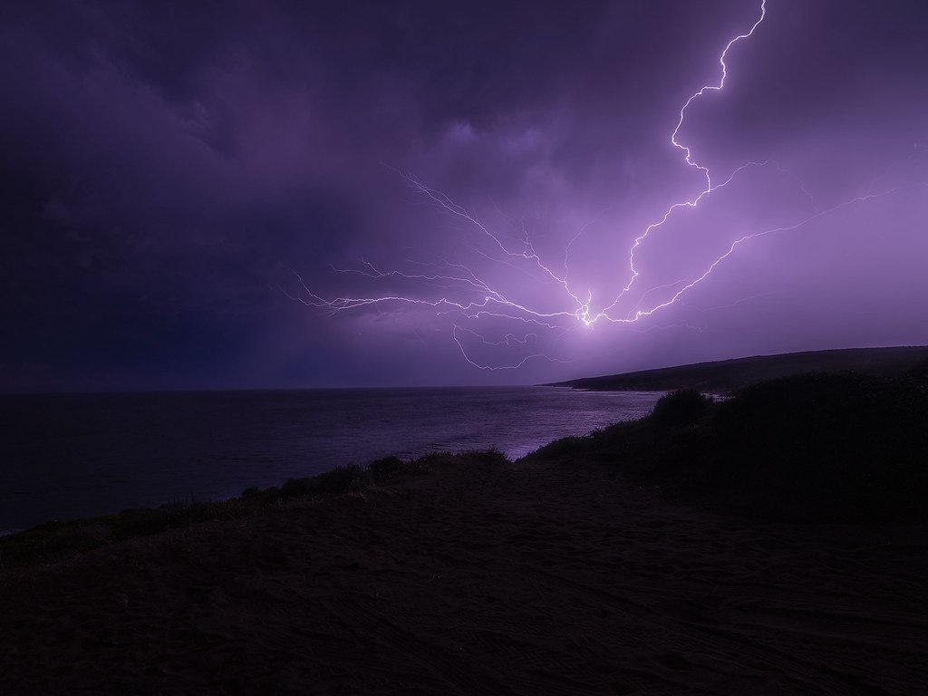
The East Coast of the United States is experiencing a troubling new reality. Storm surges that once struck every few decades are now happening with alarming regularity, pushing deeper inland and causing more devastating floods than ever before. For millions of Americans living along the Atlantic shoreline, the question isn’t whether another surge will come – it’s when, and how high the water will rise.
Recent scientific research paints a stark picture of what’s unfolding beneath the surface of our oceans. Ocean data from tide gauges stretching from Maine to Florida tells a story of accelerating change that many coastal communities aren’t prepared for. Let’s dive into what the numbers really reveal about this growing threat.
Traditional Storm Surge Estimates Have Been Dangerously Wrong

Scientists have discovered that traditional estimates from tide gauge data underestimate storm surge extremes at roughly four out of five locations nationwide, including major coastal cities. This revelation comes from groundbreaking research that analyzed decades of ocean data using advanced statistical modeling techniques.
Think about what this means for a moment. The flood maps your community relies on, the evacuation zones marked by emergency managers, and the building codes designed to protect homes and businesses – they’ve all been based on calculations that consistently underestimate the real danger. Using a sophisticated Bayesian framework, researchers analyzed U.S. tide gauge records from 1950 to 2020 and found that observational estimates have underestimated likelihoods of storm surge extremes at 85% of tide gauge sites nationwide.
Two Dangerous Hotspots Are Emerging Along the Atlantic Coast
Scientists have identified two distinct hotspots where long-term increases in peak annual water levels are very likely to have occurred: one stretching from southeast Florida to Georgia, and another from Mississippi to northeast Florida. In these areas, storm surge trends are rising at rates between half a millimeter to one full millimeter per year.
That might not sound like much, but consider this: these increases are happening on top of already rising sea levels. In some regions, storm surge increases from 1975 to 2020 have matched or exceeded the growth rate of other key phenomena contributing to regional sea-level rise. It’s like adding fuel to an already dangerous fire.
Sea Level Rise Is Amplifying Every Storm’s Destructive Power
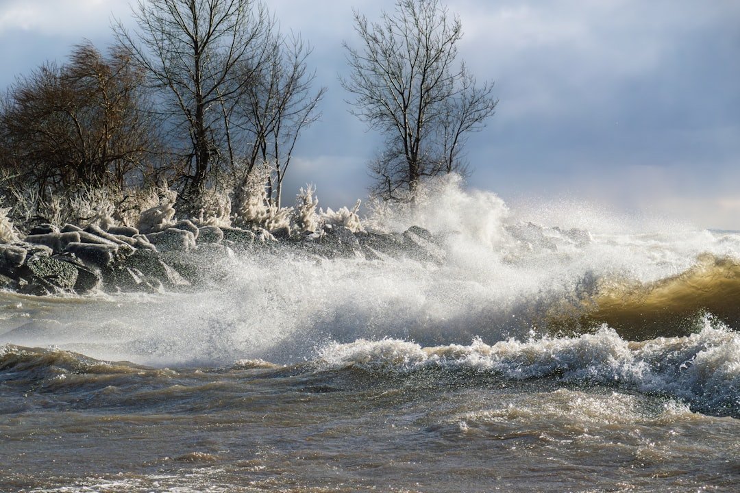
Higher background water levels mean that deadly and destructive storm surges push farther inland than they once did. Global average sea level has risen 8-9 inches since 1880, and the rate is accelerating, more than doubling from about 0.06 inches per year throughout most of the twentieth century to about 0.13 inches per year since 2006.
The East Coast faces particular vulnerability because in many locations along the U.S. coastline, the rate of local sea level rise is greater than the global average, with the East Coast already experiencing a rise in sea levels that is faster than the global average in recent decades. This creates a compounding effect where each storm surge starts from a higher baseline water level.
Ocean Circulation Changes Are Raising Waters Off America’s Eastern Shores

Recent data suggests that rapid sea level rise acceleration during 2010-2022 along the U.S. East Coast and Gulf of Mexico coast is largely due to a lagged response to the observed slowdown of the Atlantic Meridional Overturning Circulation in 2009-2010. This massive ocean current system acts like a conveyor belt, moving warm water north and cold water south.
When this circulation weakens, it creates dramatic effects. The Gulf Stream normally pulls the sea away from the shore a bit, lowering sea level, but when the current slows, the sea level height gradient relaxes toward the coast, adding to local sea level. Scientists are concerned that further weakening could accelerate these trends even more.
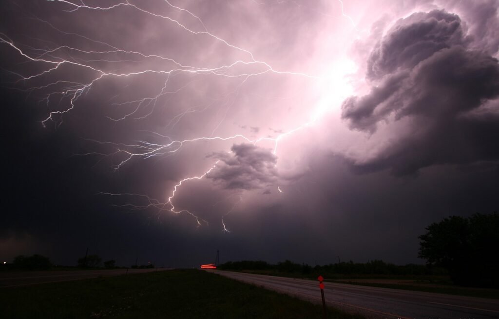
Storm Characteristics Are Changing in Dangerous Ways
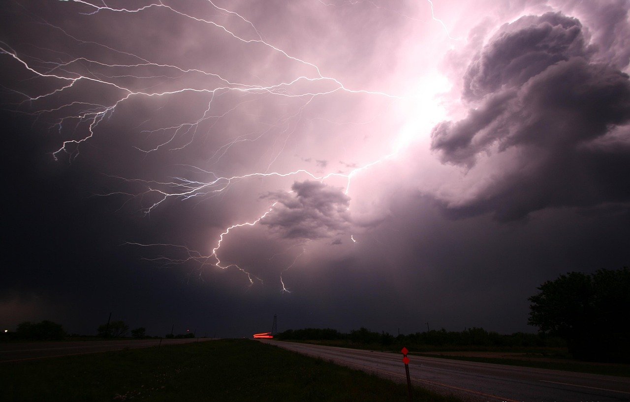
Storm surge extremes show spatially coherent trends along many widespread coastal areas, providing evidence of changing coastal storm intensity in the historical monitoring period. This isn’t just about more storms – it’s about storms that behave differently and more dangerously.
Research shows potential increases in hurricane maximum intensity, increases in wind speed, and decreases in translation speed in the future, with these projected trends in hurricane characteristics amplifying the risk faced by coastal cities and estuaries. Slower-moving storms are particularly dangerous because they can dump more rain and maintain their surge-generating power for longer periods.
Advanced Ocean Modeling Reveals Hidden Risks

NOAA has developed improved U.S. Gulf and East Coast data with updated SLOSH grids, improving spatial resolution and friction effects from land cover types, utilizing the Sea, Lake, and Overland Surges from Hurricanes model to simulate storm surge from tropical cyclones. These improvements help scientists better understand how storm surges behave in complex coastal environments.
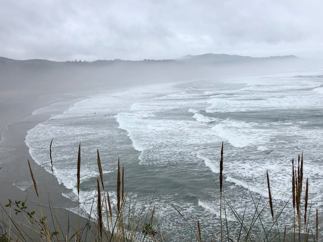
The modeling reveals something crucial: storm surge is not just a beachfront problem, with the risk extending many miles inland from the immediate coastline in some areas. Modern ocean data shows that surge can travel up rivers and canals, reaching communities that never considered themselves at risk from ocean storms.
Climate Patterns Are Creating Perfect Storm Conditions
When El Niño disrupts atmospheric circulation over the tropics and mid-latitudes, changes in the jet stream bring more frequent winter storms along the East Coast, raising sea level. These large-scale climate patterns create windows of increased vulnerability that can persist for months or even years.
Current conditions favor tropical storm formation, including continued ENSO-neutral conditions, warmer than average ocean temperatures, forecasts for weak wind shear, and potential for higher activity from the West African Monsoon. This combination creates what meteorologists call a “loaded dice” scenario, where the odds are tilted toward more frequent and intense storm surge events.
Future Projections Paint an Alarming Picture

By 2150, storm surges likely will be twice as high, or higher, than they are today. A Climate Central analysis finds the odds of “century” or worse floods occurring by 2030 are on track to double or more over widespread areas of the U.S.
The implications are staggering. Nearly 5 million people live in 2.6 million homes at less than 4 feet above high tide, and scientists expect roughly 2 to 7 more feet of sea level rise this century. This means that storm surges will have a much higher starting point to build upon, creating flood scenarios that would have been unimaginable just a generation ago.
The Human and Economic Stakes Keep Rising
Millions of Americans live and play along the coast, with coastal counties home to 127 million people and accounting for $8.6 trillion in goods and services each year. Rising sea levels impact almost 40 percent of the nation’s total population according to NOAA data.
The economic implications extend far beyond immediate storm damage. In urban settings along coastlines, rising seas threaten infrastructure necessary for local jobs and regional industries, including roads, bridges, subways, water supplies, oil and gas wells, power plants, and sewage treatment plants. Each storm surge event now has the potential to cause exponentially more damage than similar storms in the past.
Conclusion

The ocean data tells an unmistakable story: the East Coast is entering uncharted territory when it comes to storm surge frequency and intensity. What we’re seeing isn’t just natural variability – it’s evidence of fundamental changes in how our coastal waters behave during storms.
“The days of assuming a stable climate in coastal engineering design are over,” as researchers note, “while sea-level rise has rightfully taken center stage, increasing storm intensity can rival its impacts in some U.S. regions”.
The question facing coastal communities isn’t whether these trends will continue – the ocean data suggests they will. The real question is whether we’ll heed the warning signs and adapt quickly enough to protect the millions of lives and trillions of dollars at stake along America’s eastern shores.