Most people assume a drought just kills lawns and shrivels crops. Brown grass, cracked dirt, a dead-looking field – that’s the whole story, right? Except beneath that parched, dying grass, entire lost civilizations are quietly resurfacing, and almost nobody notices until it’s too late to see them.
Ancient forts, Roman villas, Bronze Age tombs, and medieval castles that have been invisible for centuries are writing themselves back onto the landscape, visible only from the air and only for a few precious weeks. It sounds like folklore. It isn’t. Archaeologists call it one of the strangest side effects of extreme heat, and once you understand the mechanism behind it, you will never look at a dead lawn the same way again.
#1 – The Science Behind the Vanishing Rain and the Secrets It Uncovers
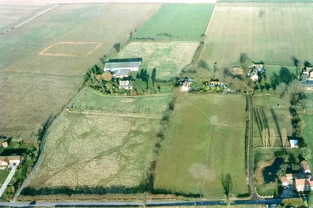
A dry summer doesn’t stress plants uniformly across a field. It exposes a hidden map that has been sitting underground for thousands of years, waiting for exactly this kind of weather.
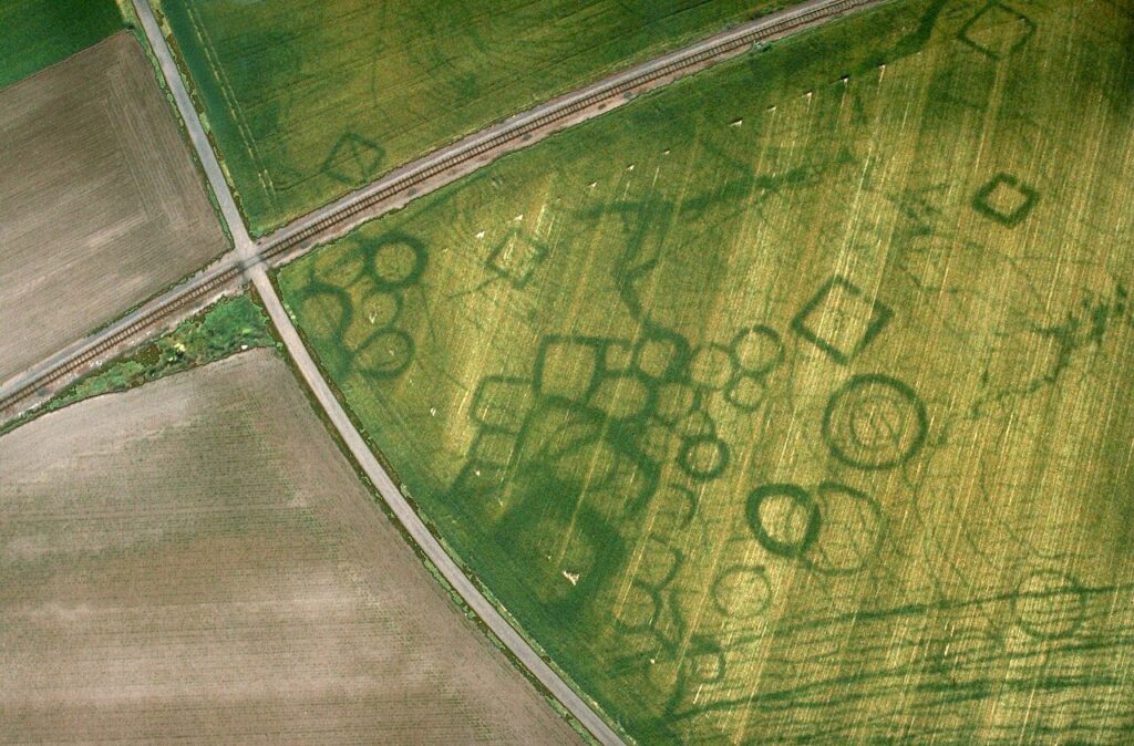
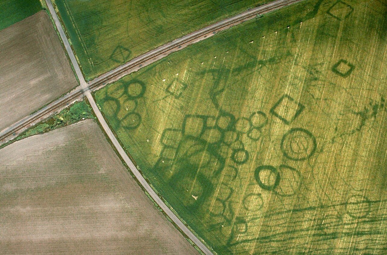
Experts explain that a cropmark is an archaeological phenomenon visible from the air, caused by underlying buried features that differentially affect soil moisture, nutrients, and drainage. It typically emerges in arable fields during dry weather, when subtle differences in crop vigor suddenly become impossible to miss. In plainer terms: buried walls starve the roots above them, while buried ditches feed them.
Fast Facts
- Cropmarks form when buried structures change how water and nutrients move through the soil
- Buried ditches trap extra moisture, making crops above them grow taller and greener
- Buried walls and foundations block water, leaving crops above them pale and stunted
- The pattern is nearly invisible from the ground and only reads clearly from the air
Most people never notice this happening right under their feet until a drought strips away the disguise. It isn’t a new discovery, but it’s wildly underappreciated. Every time a serious heatwave hits, it resurfaces – and every time, it feels like magic to the public and like Christmas morning to archaeologists.
#2 – How Buried Ditches Become Green Highways in a Drought
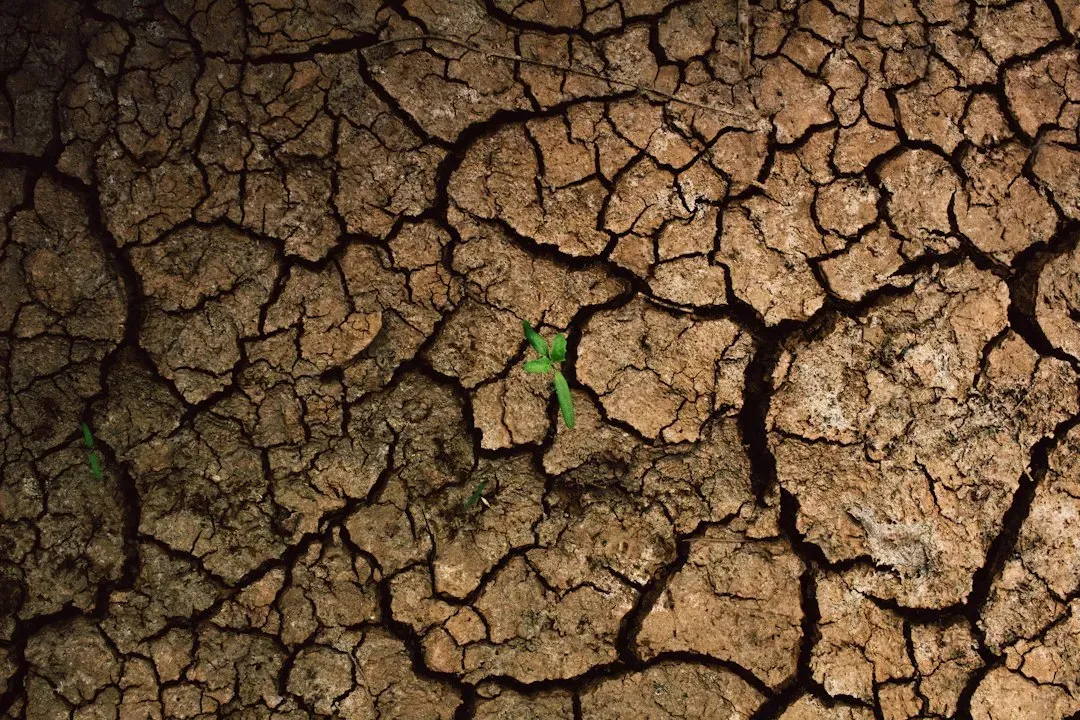
Here’s the twist almost nobody expects: drought doesn’t destroy every plant equally. It actually makes some plants grow taller, greener, and thicker than their neighbors, in the exact same field, under the exact same sun.
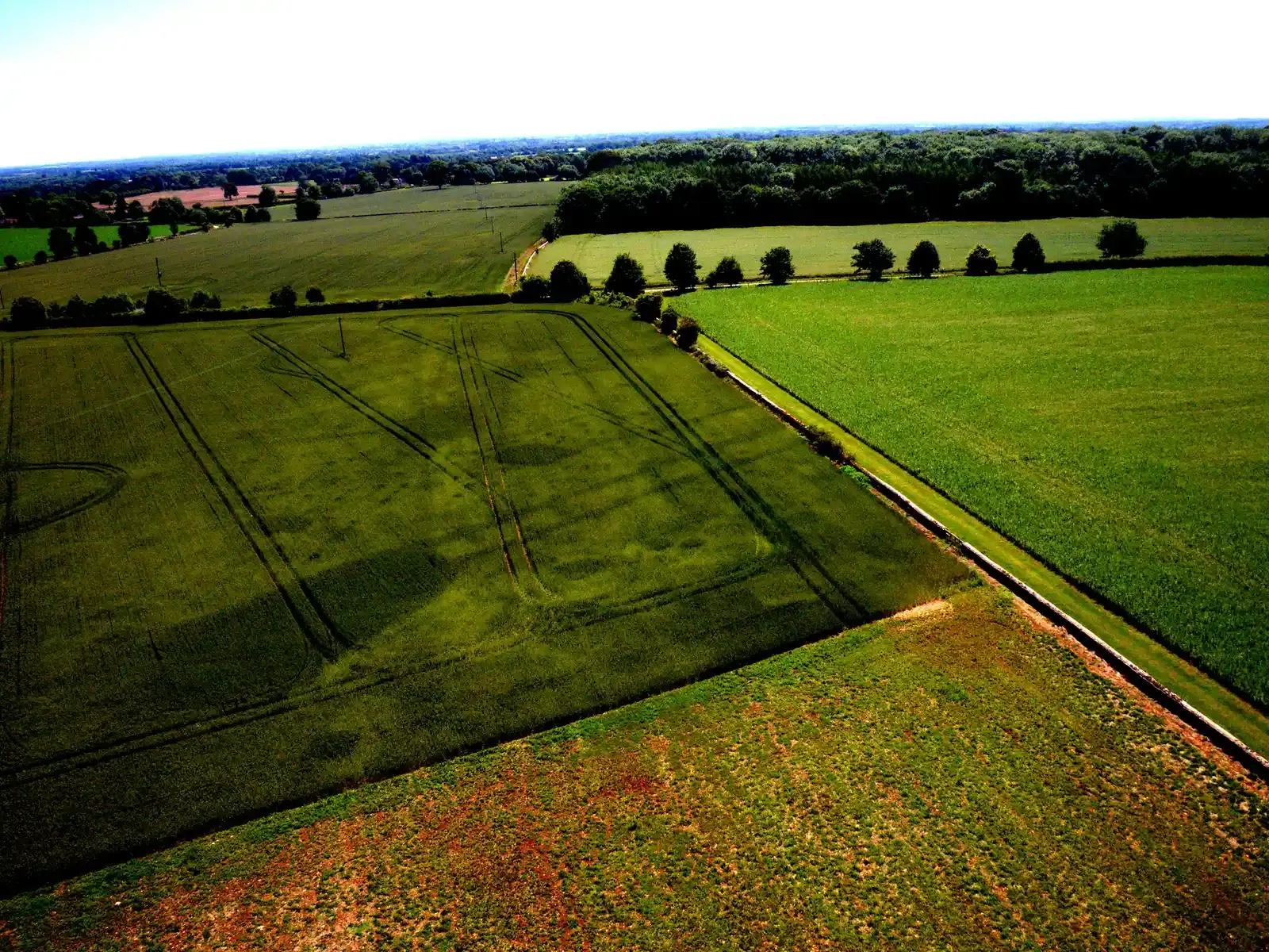
Researchers point out that a buried ditch has deeper topsoil than the surrounding area, which causes water to naturally collect there. Crops growing above long-gone ditches end up taller, thicker, and greener simply because they’re better fed. From ground level, this is invisible. From a plane or drone, it’s unmistakable – a faint green ribbon snaking across an otherwise dying field.
One British researcher documented this firsthand, describing how plants growing over buried ditches and pits benefited from the greater store of water retained in the infilled soil. An aerial view revealed faint green stripes in an adjacent cornfield – all that was left of buried ditches after centuries of ploughing. Entire earthworks, erased by ploughing generations ago, reappear as ghostly green outlines. It’s one of the only times a drought actually helps something grow better than normal.
#3 – The Wall That Refuses to Feed the Crops Above It
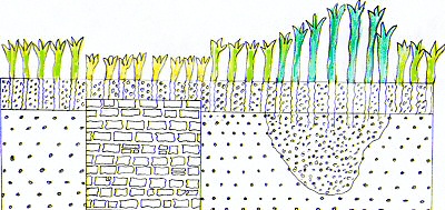
While ditches turn green, buried stone tells the opposite story – and this contrast is exactly what makes the landscape readable during a dry spell.
According to researchers, a buried stone wall can hinder the movement of water and nutrients, causing the plants growing above it to show poor health. That poor health shows up as pale, stunted, yellowing patches that trace the exact footprint of a wall nobody living has ever seen.
- Ditches = tall, green, thriving crops
- Walls and foundations = short, pale, dying crops
This isn’t subtle guesswork. It’s a consistent, repeatable pattern that trained aerial archaeologists can read like a blueprint. The irony is almost poetic: the very drought that’s ruining a farmer’s harvest is simultaneously drawing a perfect diagram of a 2,000-year-old building underneath it.
#4 – Why 2018 Became the “Gold Rush” Year for Archaeologists
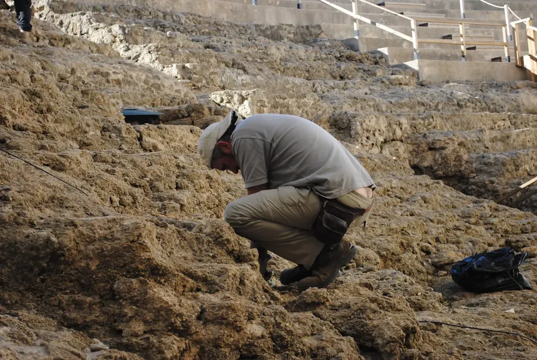
If you want proof this phenomenon is real and not exaggerated, look no further than the summer that archaeologists still talk about with genuine excitement.
Gold-rush style excitement.
Archaeologist describing the 2018 UK drought season
That’s not casual enthusiasm – that’s a professional openly comparing an archaeological season to striking gold. The longest period of scorching weather since 1976 exposed evidence of historic structures across the country almost overnight.
What made that particular summer so productive wasn’t just the heat itself. The winter and spring beforehand had been so wet that plants grew relatively shallow roots, never needing to search deep for water. So when the drought hit, plants growing over buried ditches and pits suddenly benefited from the greater store of water retained in the infilled soil below. The wet-then-dry sequence, not the heat alone, is what unlocked the landscape. A dry summer following a dry winter often reveals far less than a dry summer following a soggy one.
#5 – Parch Marks: The Ghost Outlines on Grass and Lawns
Cropmarks aren’t the only trick a drought pulls off. Grass fields and even manicured lawns play the same game, just under a different name.
Specialists describe these as parch marks – sites made visible as the sun scorches the grass, revealing the shape of rock below. Unlike cropmarks in wheat or barley, parch marks show up in turf, pastures, and even golf courses and parks, tracing walls, paths, and foundations that were paved over or demolished generations ago.
One expert compared it to something every homeowner has already seen without realizing it: the contrast in a lawn between a path that has been recently turfed over and an old flower bed that is now covered by grass. That means your own backyard could be quietly hiding something from centuries ago, and a bad enough drought is the only thing that will ever tell you.
#6 – Wheat and Barley Tell the Truth, Grass Lies
Here’s a controversial opinion among land managers: not every crop is trustworthy when it comes to revealing buried history, and some are practically useless for it.
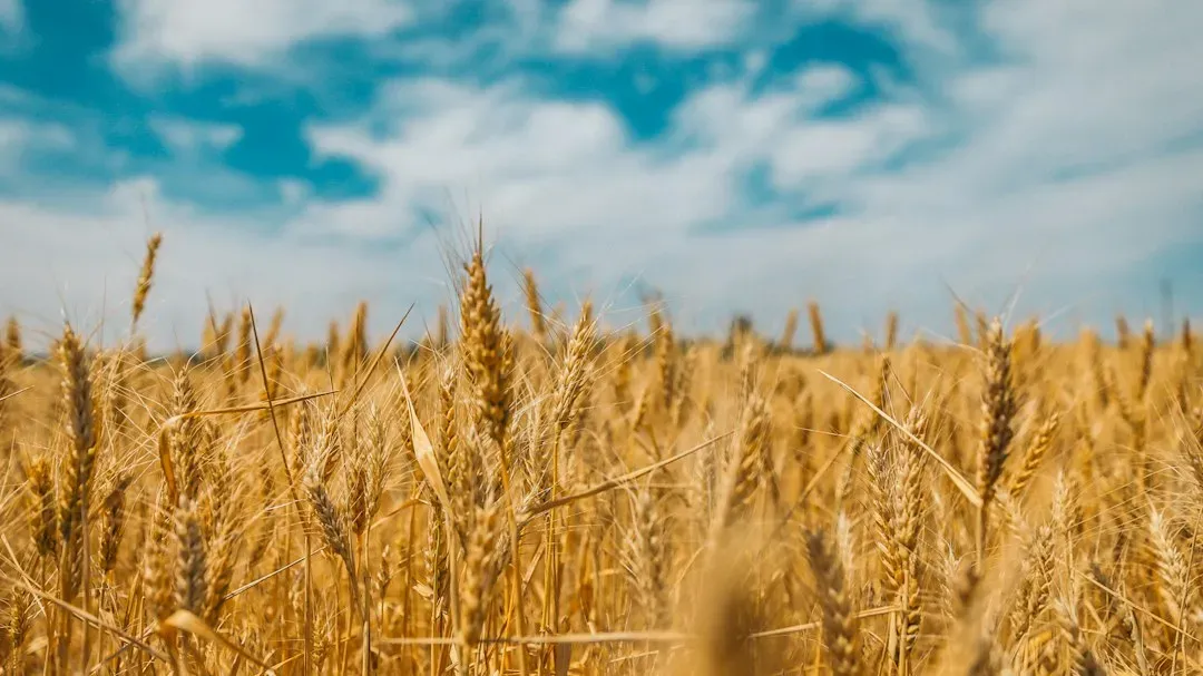
Specialists note that crops like wheat and oats are particularly sensitive to soil water content and show cropmarks clearly, while others, like grass and potatoes, are insensitive and rarely show them at all. That means two identical drought conditions – one field over wheat, one over turnips – can produce wildly different archaeological results. A field of barley might reveal a Roman fort in vivid detail while a neighboring potato field, sitting over the exact same buried structure, shows absolutely nothing.
This is why aerial archaeologists don’t just wait for a hot summer. They track exactly which crop is planted where, every single year. A great drought over the wrong crop is a wasted opportunity that won’t repeat for years – and it means some of the richest archaeological zones in the world have simply never had the right crop growing at the right time to reveal what’s underneath.
#7 – Soil Type Matters More Than the Drought Itself
Most people assume any drought, on any land, produces these ghostly outlines. But soil geology is arguably the single biggest factor determining whether anything shows up at all.
Researchers are consistent on this point: well-drained sandy soils and those sitting over chalk are particularly conducive to revealing features through cropmarks. Heavy clay soils, by contrast, hold water so uniformly that even a severe drought can fail to create the contrast needed for a cropmark to appear.
Quick Compare
- Sandy soil: Drains quickly, creates sharp contrast, cropmarks show reliably
- Chalk soil: Similarly well-drained, one of the most productive soils for aerial discoveries
- Clay soil: Holds moisture evenly across the field, often masking buried features entirely
This explains why certain regions – chalky downlands, sandy river terraces – produce discovery after discovery every time a heatwave hits, while heavy-clay counties nearby stay stubbornly silent under identical weather. It’s not the drought that decides what gets revealed. It’s the dirt. Archaeologists have quietly known this for decades, but it rarely makes headlines because “clay soil is boring” doesn’t sell newspapers.
#8 – From Balloons to Drones: How We Learned to See Underground
The idea of reading buried history from crop patterns isn’t a 21st-century invention. It’s centuries old, and the technology used to spot it has quietly transformed the entire field.
Historians trace the practice back remarkably far, noting that recognizing archaeological sites by cropmarks was recorded as far back as the antiquarians of the 17th century. It was William Stukeley – who pioneered the study of Stonehenge and Avebury – who provided one of the clearest early explanations, describing features in the Roman town of Great Chesterford in Essex in 1719. That’s over 300 years of farmers and scholars noticing strange green rings in their fields without fully understanding why.
The real breakthrough came once humans could get airborne – first with balloons, then aeroplanes, and most recently drones. Aerial photography has become a standard reconnaissance technique in modern archaeology. A technology invented for war reconnaissance and civilian aviation ended up becoming archaeology’s most powerful tool, and drones have made it dramatically cheaper and more accessible than ever before.
#9 – The Iron Age Squares Hiding Beneath English Wolds
Some of the most dramatic recent discoveries weren’t in some remote, unexplored wilderness. They were sitting under farmland that’s been worked for generations.
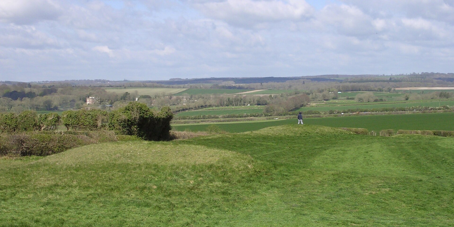
Officials at England’s heritage authority described finding mysterious Neolithic ceremonial monuments, Iron Age settlements, square barrows, and a Roman farm, all newly discovered by flying archaeologists surveying the parched landscape during a prolonged dry spell. These weren’t faint smudges either – the cropmarks of four distinct squares indicated the ditches surrounding Iron Age burial mounds.
What makes this genuinely surprising is that square barrows, while rare nationally, are relatively common on the Yorkshire Wolds and are sometimes associated with elaborate burials involving exotic grave goods such as chariots. A drought turned an ordinary grain field into a map of Iron Age chariot burials. As experts noted, these new discoveries demonstrate that even in well-explored areas, there is still enormous potential for new revelations if conditions are right.
#10 – Roman Forts, Villas, and Camps Exposed by Thirsty Soil
If Iron Age burial squares weren’t dramatic enough, entire Roman military and residential complexes have surfaced during severe drought years – and some were completely unknown before the heat hit.
In one especially productive season, officials highlighted a Roman camp discovered in Dorset, southwest England – a relatively rare structure in that region, with only three others known to exist. That’s not a minor footnote. That’s a meaningful addition to the known map of Roman Britain, discovered purely because the ground got dry enough.
Worth Knowing
- Dorset’s newly found Roman camp is only the fourth known example of its kind in the region
- Wales revealed a Roman fortlet tied to how the conquest and garrisons spread across the landscape
- An early medieval cemetery possibly dating to the 8th or 9th century turned up nearby
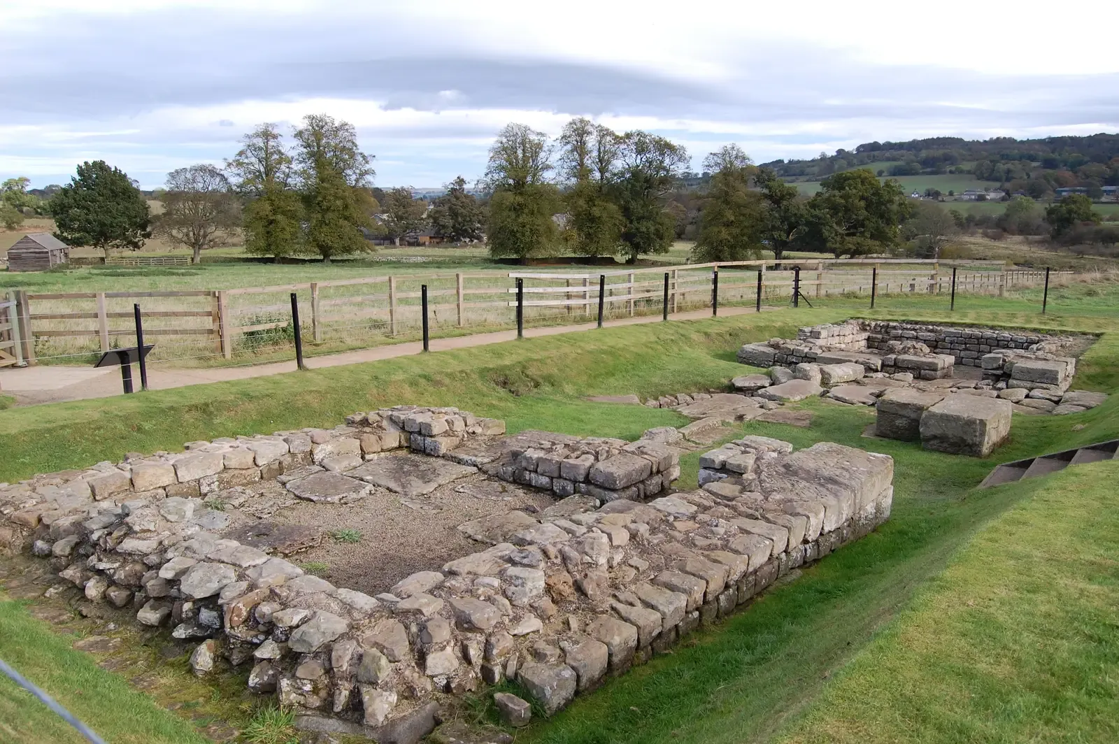
- Parch marks outlined entire building layouts at Caerhun Roman fort in the Conwy Valley
Wales delivered similarly striking results. Aerial investigators reported finding a Roman fortlet that could help researchers understand where garrisons were located and how the Roman conquest progressed, alongside an early medieval cemetery possibly dating to the eighth or ninth century. Parch marks even revealed the layout of Roman buildings at Caerhun Roman fort in Wales’ Conwy Valley. A single dry summer added centuries of missing military history to the record in just a few flights.
#11 – Ancient Gardens and Castles Reappearing in Parks
It’s easy to assume this phenomenon only applies to prehistoric ruins buried for millennia. But drought reveals far more recent history too, sometimes just a few hundred years old.
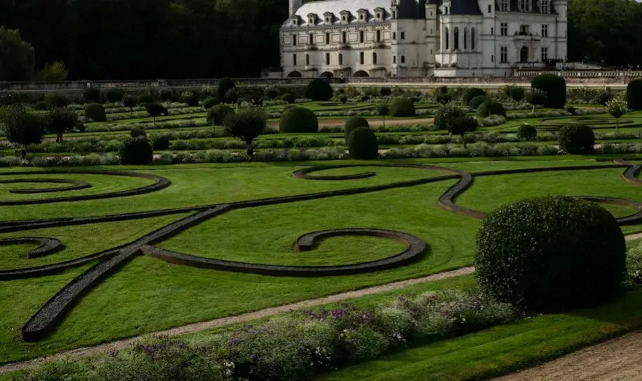
At one historic estate, observers noted that dry weather brought back a Victorian garden. The garden is known to appear in most summers, but that particular year the revelation was spectacular, with possibly parts of an even earlier garden also exposed. Formal hedges, pathways, and flower beds long since grassed over reappeared in crisp outline, like a photograph developing in real time.
Medieval structures have shown up just as clearly. One striking example is the almost ploughed-down medieval castle mound at Castell Llwyn Gwinau, Tregaron, showing clearly under parched conditions. Some experts argue this makes drought-year aerial surveys more valuable to local heritage than any museum exhibit – a slightly controversial take, considering how much money gets poured into traditional preservation instead of simply waiting for the right weather.
#12 – The Race Against Rain: Why Timing Is Everything
Here’s the part almost nobody outside archaeology understands: these discoveries are temporary, and the window to record them can close within days.
One senior investigator described the urgency bluntly – archaeologists face a genuine race against time to record and document these ruins before it rains and they disappear. A single downpour can erase weeks of visible history overnight, turning a Roman fort back into an ordinary, uniform-green field.
At a Glance
- Cropmarks can appear within days of peak drought stress and vanish just as fast
- A single heavy rainfall can erase weeks of visible history overnight
- Survey teams often re-fly the same fields repeatedly to catch the narrow window
- Photographs are archived immediately since the visual evidence can disappear for years
Field teams describe scrambling to keep up. One aerial investigator explained the process directly: taking the air photos before the rain washes away the drought, with the most important discoveries then circulated quickly to experts for their opinion while the photographs are carefully archived. This means an untold number of sites have almost certainly been glimpsed once, briefly, and then lost again for another generation – simply because no one was flying overhead at exactly the right moment.
#13 – The Uncomfortable Truth: Drought Reveals History and Damages It
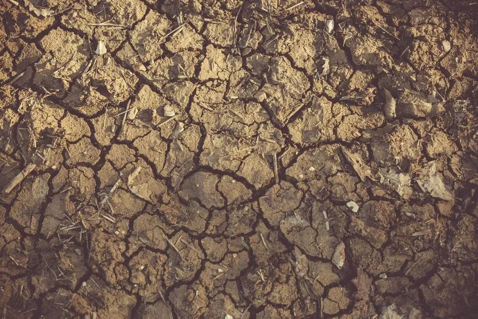
The final, most unsettling truth is this: the same conditions that expose lost civilizations are often devastating to modern agriculture and the landscape itself.
We have had periods of dry weather in the past, where crop marks and parching have exposed archaeology, but this current spell is really exceptional both in extent and longevity, and the last time it was to this extent was probably back in the 1970s.
Archaeologist reflecting on a record-breaking drought season
Another expert added that for parch marks to appear, circumstances have to be just right, but it isn’t uncommon – pointing to the famous 1976 drought, still remembered in British archaeology for revealing many previously unsuspected sites.
Most people celebrate these discoveries without acknowledging the trade-off. The drought stressing crops enough to reveal Roman ruins is the same drought threatening farmers’ livelihoods. It’s a genuinely uncomfortable dual reality – one field’s crisis is another field’s historical treasure trove, and there’s no version of a severe drought that’s purely good news.
The Bottom Line
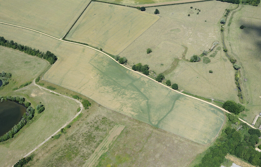
A dry summer isn’t just a weather event. It’s a temporary window into a buried version of the landscape that’s invisible every other year. Ditches glow green, walls starve the crops above them, and centuries of forts, villas, barrows, and gardens reappear as if by magic, only to vanish again the moment it rains.
Soil type, crop choice, and timing all decide who actually gets to see it, which is exactly why this feels like folklore even though it’s just soil science working in plain sight. My honest take: we treat drought purely as a disaster story, and that’s a mistake. It’s also the closest thing the modern world has to a time machine – one that only opens for a few dry, fragile weeks before the rain slams it shut again.