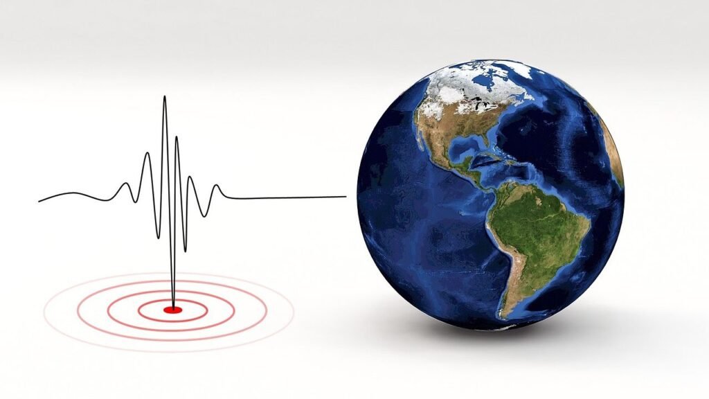
Water story has always been dramatic – droughts that stretch on, storms that arrive like a drumline, and aquifers caught in the middle. Now, a quieter plot twist is surfacing offshore: bodies of low-salinity groundwater tucked beneath the seafloor along parts of the coast. For decades, hints whispered through odd springs, seawater intrusion maps, and geological puzzles, but the full picture stayed blurry. New geophysical surveys and seafloor sampling are steadily sharpening that picture, revealing concealed stores of freshwater that formed long ago and still linger beyond the surf zone. The discovery doesn’t hand a magic faucet, but it changes the way we think about the boundary between land, ocean, and the water we depend on.
The Hidden Clues
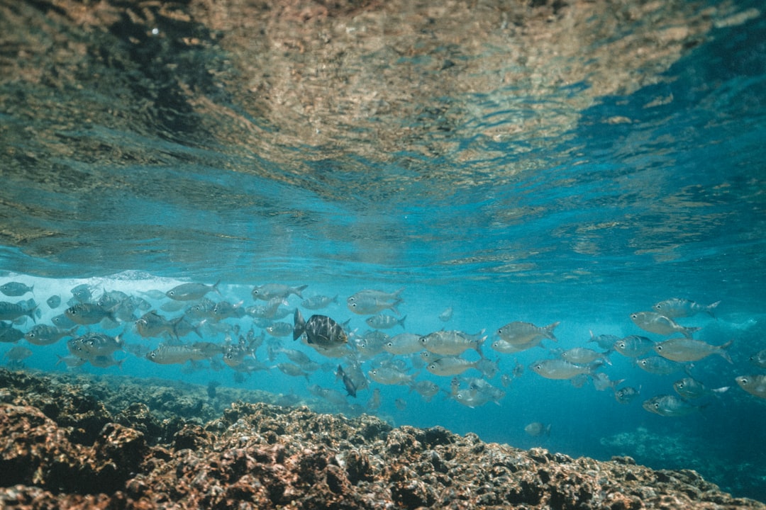
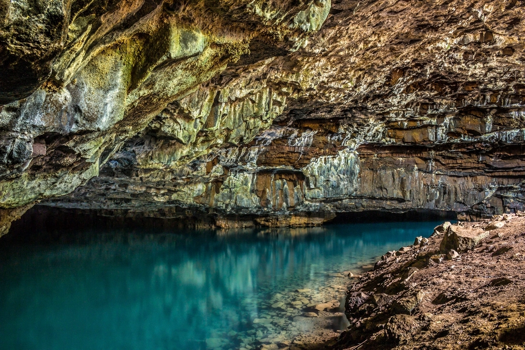
What if some of ’s freshest water is hiding under the sea? The first hints came not from flashy tech, but from small anomalies – cool, brackish seeps that bubbled near the shoreline, or wells on the coast that behaved strangely with the tides. Geologists noticed mismatched layers in old seismic profiles and sediment cores that suggested ancient river channels now drowned by the Pacific.
Fishermen and divers, meanwhile, described peculiar temperature zones and pockets of clearer water just offshore that didn’t fit the surface currents. Coastal hydrologists mapped where seawater moved inland and found places where it didn’t advance as expected, as if something resisted the salty push from beneath. Each clue on its own looked like a curiosity; together, they hinted at a hidden reservoir stitched through sands and gravels below the waves.
Water Underground, Water Offshore
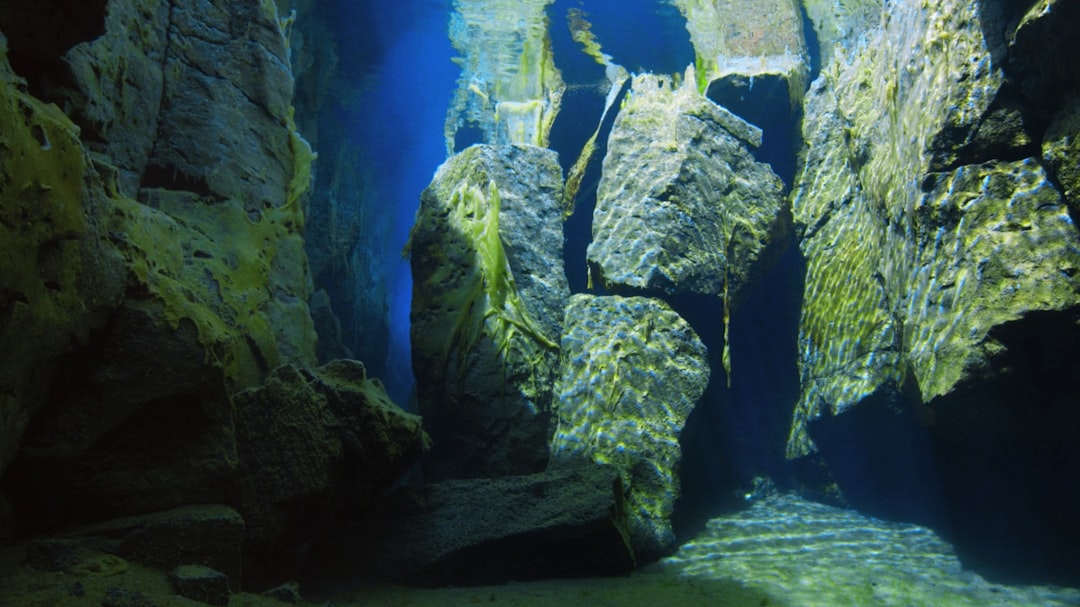
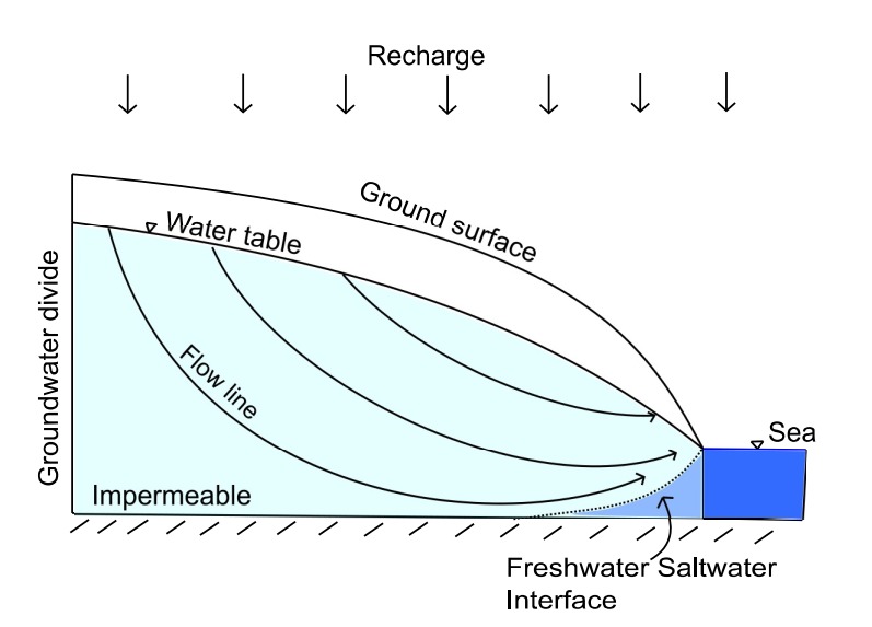
The idea is simpler than it sounds: when sea levels were lower in the past, rain and rivers recharged aquifers that stretched far across what’s now the continental shelf. As oceans rose, those permeable layers were buried beneath seawater, but the freshened groundwater remained trapped because geologic barriers slowed the mixing. Think of a sponge soaked with fresh water, slid gently into a bowl of salt water – the salt takes time to creep in.
In places where the shelf hosts connected sands and ancient river deposits, that trapped water can persist for long periods in a fresher state. The result is offshore freshened groundwater – subterranean bodies that are not pristine mountain springs but are far less salty than the ocean. In some spots they slowly leak back to sea through submarine groundwater discharge; in others, they sit, quiet and overlooked, until modern instruments find them.
From Ancient Tools to Modern Science

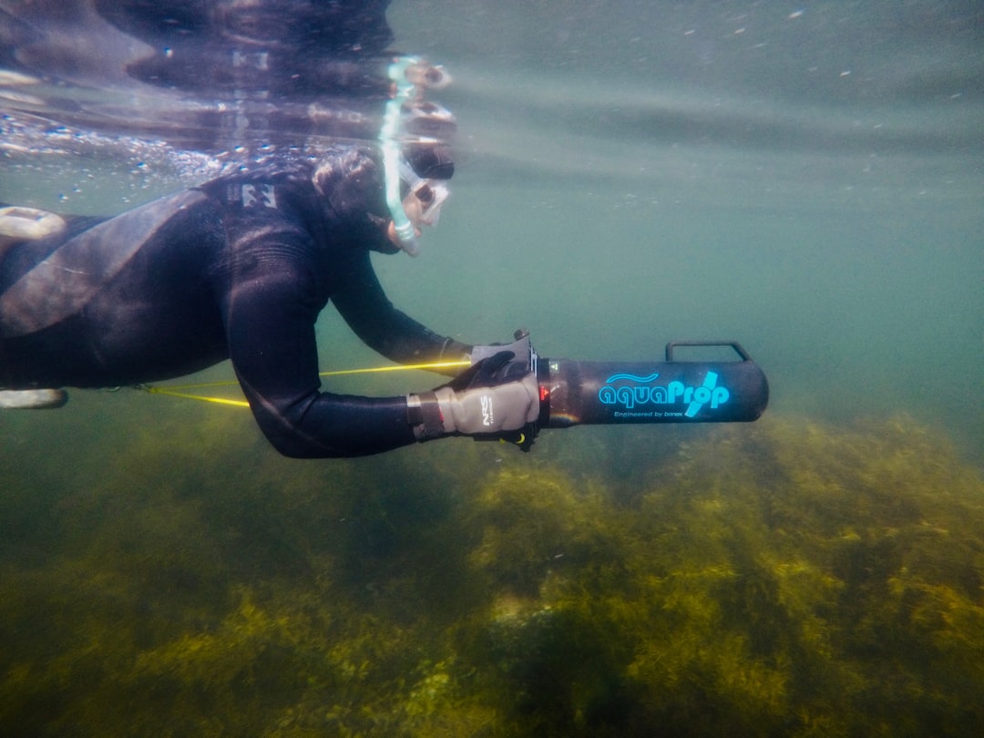
Pinpointing water beneath the seafloor takes a toolkit that blends detective work with physics. Marine electromagnetic surveys look for resistive zones – fresh water resists electrical flow far more than salty water – while seismic reflection images the sediment layers that host or block that water. Seafloor sampling and boreholes, though harder to secure, provide the ground truth: actual salinity and chemistry.
Onshore, airborne electromagnetic mapping has transformed views of coastal basins by tracing salinity and clay layers at scale, guiding where to look offshore. Geochemists add the time dimension using isotopes and dissolved gases that reveal when the water was last at the surface. Put together, these methods don’t just say “water here”; they sketch a timeline of ancient shorelines, buried deltas, and pathways carved when mammoths still roamed inland valleys.
’s Coastal Puzzle
Along sections of the Central Coast and Southern , researchers are assembling evidence that freshened groundwater extends seaward from known onshore aquifers. Places like Monterey Bay, the Santa Barbara Channel, and the Oxnard Plain share similar ingredients: thick sedimentary basins, buried river systems, and a long history of groundwater pumping that has tugged the fresh–salt boundary back and forth. In some settings, that dynamic appears to continue beneath the surf, where the geology stays connected.
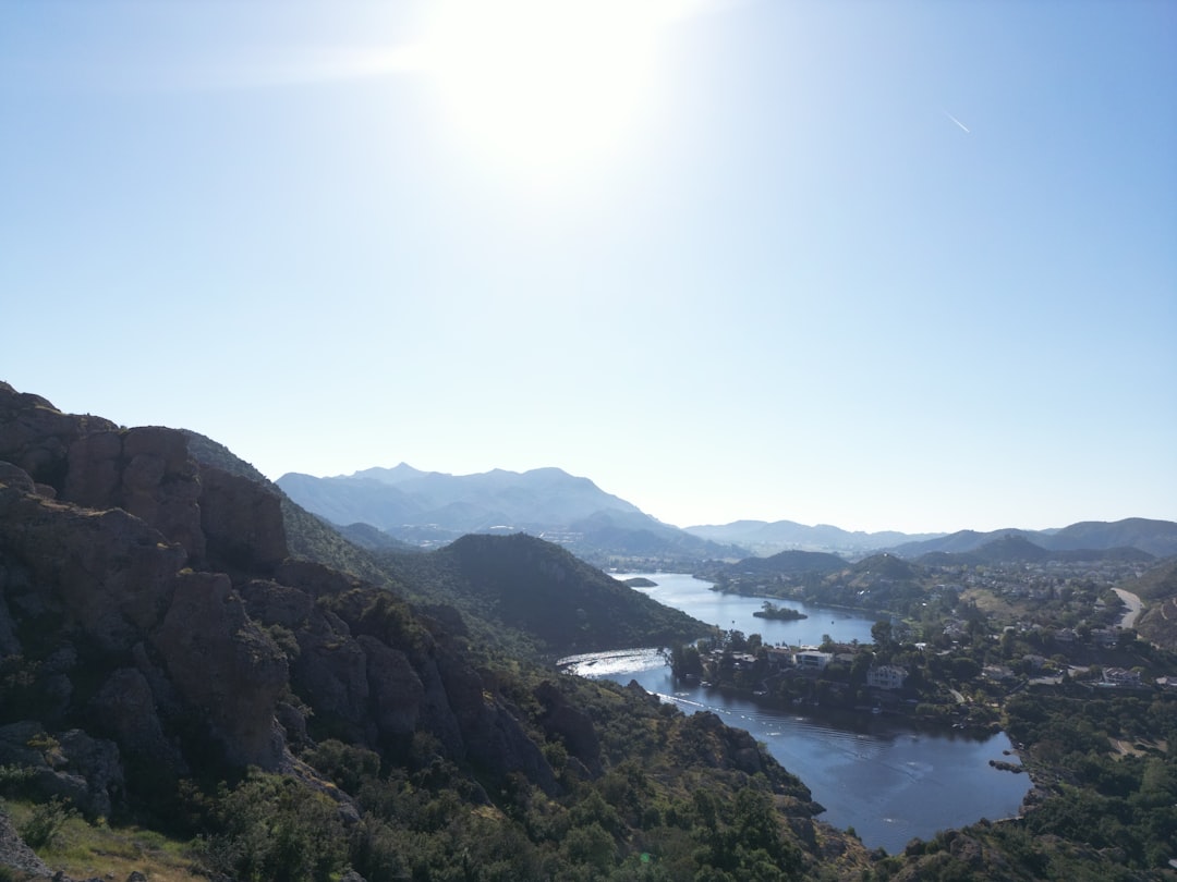
I’ve stood on a foggy cliff near Santa Cruz and watched green swells fold into the kelp beds, trying to imagine the ghost of an old river curving below. It’s a humbling picture – layers that remember storms from centuries ago while we argue about this winter’s rain. If scientists can map these connections more precisely, coastal communities will gain a buffer of knowledge, even if they never drill a single offshore well.
Global Perspectives
isn’t alone in this hidden geography. Surveys have revealed offshore freshened groundwater along the Atlantic shelf of North America, off parts of Australia and New Zealand, and near coastlines in southern Africa and the Mediterranean. The details differ – some places host broad, diffuse bodies of fresher water, others show narrow ribbons tucked in ancient channels – but the phenomenon appears widespread.
That global context matters because it lets researchers compare how tectonics, sea-level history, and sediment supply shape the offshore reservoir. It also offers cautionary tales: in regions where onshore pumping intensified, the offshore gradient sometimes shifted, altering how and where submarine groundwater discharge occurs. can learn from those cases while crafting its own approach to coastal stewardship.
Why It Matters
Hydrologically, offshore freshened groundwater reframes a basic assumption: the shoreline isn’t a hard stop for aquifers. This matters because land-based models that ignore offshore connections can underestimate storage, misjudge seawater intrusion risk, or overpromise on recharge projects. Including the offshore component turns the map into a system, not a boundary.
Practically, no one should treat the seafloor as a water bank waiting for withdrawals. Extracting offshore groundwater would be technically complex, energy-intensive, and fraught with ecological and legal questions. Yet the knowledge is powerful even without extraction – better models mean better defenses against saltwater intrusion, smarter placement of recharge basins, and fewer surprises during drought. In risk terms, knowing what lies offshore reduces the blind spots that have tripped water planning in the past.
The Hidden Clues of Change
Sea-level rise, stronger atmospheric rivers, and longer dry spells are not abstract trends along this coast. Higher seas increase hydraulic pressure against coastal aquifers, nudging salt water landward, while intense storms test the capacity of floodplains and dunes to absorb and filter recharge. Offshore reservoirs may respond slowly, but once the balance tilts, it can be hard to reverse.
This is where offshore mapping pays dividends onshore. If we know where freshened zones connect back under beaches and estuaries, we can protect those corridors, steer infrastructure away from key recharge windows, and time stormwater capture to feed the right layers. It’s like reinforcing a bridge by understanding not only the beams you can see but also the footings sunk deeper into the riverbed.
The Future Landscape
Next-generation surveys will likely come from fleets of uncrewed vessels towing compact electromagnetic gear, stitched together by machine learning that can invert data faster and with clearer uncertainty. Fiber-optic sensing on existing seabed cables offers another frontier, listening for subtle pressure and temperature shifts that betray groundwater movement. Combined with improved onshore networks, the picture will grow from snapshots to time-lapse.
Policy will have to keep pace. Coastal groundwater plans could explicitly recognize offshore connectivity, setting guardrails for pumping, recharge, and habitat protection. Pilot projects may test gentle, nearshore recharge using storm pulses, allowing beaches and dunes to act as nature’s slow filters. If done carefully, could use knowledge – not extraction – to shield coastal aquifers from salt and surprise.
Conclusion

Start local: follow your regional groundwater agency meetings, especially where seawater intrusion shows up on maps, and ask how offshore connections are being considered. Support investments in coastal monitoring – from beach piezometers to electromagnetic surveys – because models are only as good as the data underneath. When big storms come, back efforts that capture and infiltrate water on floodplains and dunes rather than racing it to the ocean.
At home, cut outdoor water use, fix the small leaks that quietly add up, and choose drought-tolerant landscaping that still cools a neighborhood in heat waves. And when you walk the coast, imagine the quiet rivers beneath the breakers; they’re part of the story, even if you can’t see them. What hidden currents might our future depend on next?

Suhail Ahmed is a passionate digital professional and nature enthusiast with over 8 years of experience in content strategy, SEO, web development, and digital operations. Alongside his freelance journey, Suhail actively contributes to nature and wildlife platforms like Discover Wildlife, where he channels his curiosity for the planet into engaging, educational storytelling.
With a strong background in managing digital ecosystems — from ecommerce stores and WordPress websites to social media and automation — Suhail merges technical precision with creative insight. His content reflects a rare balance: SEO-friendly yet deeply human, data-informed yet emotionally resonant.
Driven by a love for discovery and storytelling, Suhail believes in using digital platforms to amplify causes that matter — especially those protecting Earth’s biodiversity and inspiring sustainable living. Whether he’s managing online projects or crafting wildlife content, his goal remains the same: to inform, inspire, and leave a positive digital footprint.