Scientists warned this week that a developing El Niño in the tropical Pacific Ocean is likely to intensify heatwaves, droughts and floods through the rest of the year. The event arrives as global temperatures already sit at record levels, making its effects more pronounced than similar episodes in past decades. Researchers emphasized that while the natural cycle will add temporary warmth, the primary driver of worsening extremes remains the long-term rise in temperatures from fossil fuel emissions.
The Pacific Cycle and Its Heat Release
El Niño represents the warm phase of a recurring oscillation in ocean temperatures across the central and eastern Pacific. During these periods, vast stores of heat normally trapped in deeper waters rise to the surface and transfer into the atmosphere. This process can lift average global surface temperatures by up to 0.3 degrees Fahrenheit for several months.
The current episode is still building, yet forecasters already classify it as moderate to strong. Historical records show that such events typically peak between late fall and early winter, though their influence on weather patterns can begin earlier. The added atmospheric heat alters jet streams and rainfall distribution worldwide, shifting storm tracks and suppressing or enhancing precipitation in distant regions.
Why Impacts Are Stronger Now
Researchers noted during an online briefing that the same strength of El Niño produces greater damage today than it did just a few decades ago. The baseline climate has warmed substantially, so the extra heat from the ocean pushes conditions further into extreme territory. Areas already prone to drought face deeper water deficits, while regions susceptible to heavy rain see more intense downpours.
This interaction does not replace the underlying trend of human-caused warming. Instead, it layers additional stress on top of steadily rising temperatures. Scientists stressed that long-term reductions in greenhouse gas emissions remain essential, even as short-term natural variability like El Niño draws attention to immediate risks.
Expected Weather Patterns Through the Year
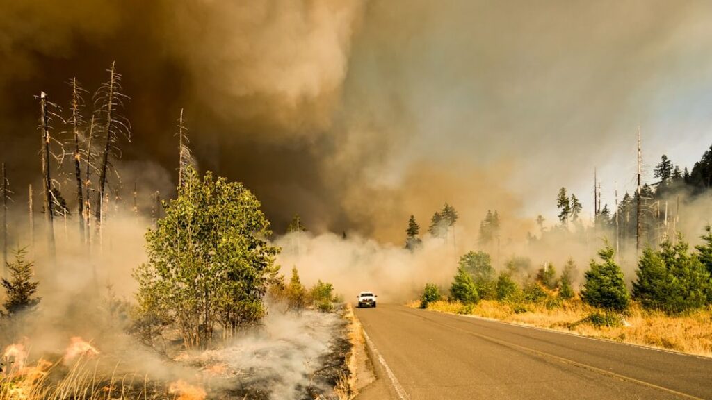
Forecasters anticipate heightened chances of severe heatwaves across parts of Asia, Australia and the Americas. Drought conditions are projected to worsen in already dry zones, increasing wildfire potential in forests and grasslands. At the same time, other areas may experience heavier flooding as altered atmospheric circulation delivers excess moisture.
These shifts are not uniform. Some locations will see cooler or wetter conditions than average, yet the overall global temperature spike from El Niño adds to the tally of record-breaking months. Monitoring agencies continue to track sea-surface temperatures and atmospheric indicators to refine seasonal outlooks.
Key points to watch: moderate-to-strong El Niño now forming; global baseline already warmer than in past events; added heat expected to intensify extremes through winter; long-term fossil fuel emissions remain the dominant driver.
Continued observation of ocean and atmosphere conditions will help refine regional forecasts in the months ahead. The current episode underscores how natural variability and human-driven change now interact more forcefully than before.

Jan loves Wildlife and Animals and is one of the founders of Animals Around The Globe. He holds an MSc in Finance & Economics and is a passionate PADI Open Water Diver. His favorite animals are Mountain Gorillas, Tigers, and Great White Sharks. He lived in South Africa, Germany, the USA, Ireland, Italy, China, and Australia. Before AATG, Jan worked for Google, Axel Springer, BMW and others.