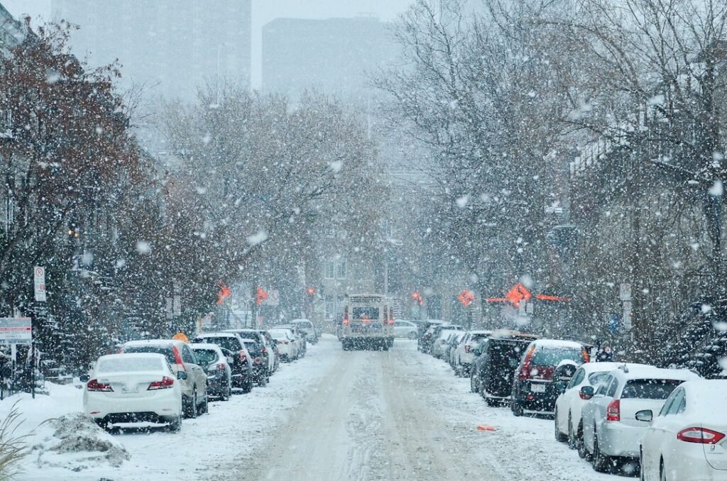
Uncertainty Yields to Sharper Snow Projections (Image Credits: Unsplash)
Washington, D.C. – A developing coastal storm raised expectations for measurable snowfall across the region this weekend, with forecasts pointing to a rain-snow mix arriving Sunday morning.[1][2]
Uncertainty Yields to Sharper Snow Projections
Forecasters noted a shift in model confidence toward heavier wintry precipitation. Early runs showed wide variability, but recent updates suggested 1 to 3 inches as the baseline for the District and immediate suburbs.[1][3] Localized pockets could see up to 6 inches if the system intensifies near the I-95 corridor.[4]
The National Weather Service outlined a transition from rain Sunday evening to all snow overnight.[5] AccuWeather aligned with this view, estimating a coating to 3 inches citywide, though stronger storms might push totals higher.[3] Such developments marked a departure from milder Saturday conditions.
Timing the Shift from Mix to Accumulation
Precipitation begins early Sunday as rain, blending into wet snow by morning amid falling temperatures.[6] Heavier bands target late Sunday into early Monday, potentially disrupting commutes.[7]
Meteorologists highlighted the storm’s coastal track as pivotal. A westward nudge favors snow over the urban core; an eastward lean limits it to slush.[3] Winds from the northeast at 10-20 mph will compound slick conditions overnight.[8]
Regional Variations in Snowfall Potential
Impacts differ sharply by elevation and proximity to the coast. Higher terrain along the Blue Ridge Parkway faced a Winter Storm Watch starting Sunday.[9]
| Area | Expected Snow | Source |
|---|---|---|
| Washington, D.C. Metro | 1-4 inches | WaPo, FOX5[7][10] |
| Shenandoah Valley | Up to 15-20 inches | FOX5[11] |
| I-95 Corridor | 1-6 inches possible | AccuWeather[12] |
Urban areas likely experience wet snow that melts on warmer pavement, avoiding prolonged “snowcrete.”[13]
Preparation Steps for Residents
Officials urged proactive measures amid rising risks. Stock essentials like shovels, salt, and non-perishables to weather potential power flickers or delays.[6]
- Monitor National Weather Service updates hourly for refinements.
- Plan alternate routes; expect school closures Monday.
- Secure outdoor items against gusty winds.
- Charge devices and prepare for brief outages.
- Layer clothing for fluctuating temperatures near freezing.
Saturday remained dry and mild, offering a final window for errands before the front arrives.
Key Takeaways
- Most likely: 1-3 inches snow after rain-snow mix Sunday morning.
- Highest totals in western suburbs and mountains.
- Travel disruptions peak Sunday night to Monday morning.
This storm serves as a reminder of winter’s lingering grip in late February. Forecasters continue refining details as the system organizes. What preparations are you making? Share in the comments below.