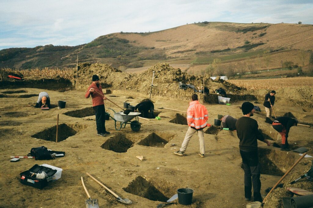
Most people assume archaeology starts with the dramatic stuff – gold masks, ancient scrolls, a skull half-buried in sand. It doesn’t. The truth is far less glamorous and infinitely more interesting. The real work happens in the first sixty minutes on site, before a single artifact is bagged, while trained eyes quietly read the land like a detective reads a crime scene.
Soil color, plant height, even the way ants have tunneled through the dirt – all of it can reveal thousands of years of human history before a trowel ever touches soil. Here’s what field archaeologists actually notice in that first hour, and why it matters more than the treasure everyone’s waiting for.
#1 – The Soil Color Is Never Just “Brown”
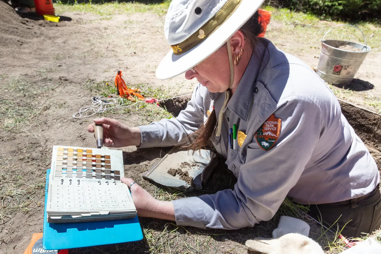
Ask any field archaeologist and they’ll tell you the first real clue isn’t an object – it’s color. Soil doesn’t fade from light to dark randomly. It shifts because of what’s buried beneath it, and reading those shifts correctly can save weeks of excavation or waste them entirely.
Archaeologists use something called the Munsell Soil Color Chart, a standardized system that removes the guesswork from something as subjective as “dark brown” versus “grayish brown.” A sudden dark stain in otherwise uniform soil often signals decomposed organic material – like a wooden post that rotted away centuries ago, leaving only a ghostly outline behind. That outline is called a soil feature, and it can mark anything from a hearth to a grave.
Fast Facts
- The system was produced by Dr. Albert H. Munsell (1858-1918), an artist and inventor who created it to provide a descriptive and systematic form to communicate color.
- Each chip is rated by hue for shade, value for lightness, and chroma for saturation – not vague words like “brownish.”
- The same charts are used across academia, forestry, forensics, environmental and soil science, geology, and archaeology.
- Classical archaeologists studying ancient ceramics and roofing elements in Greece and Italy have used these charts since the early 1970s.
Color changes also mark stratigraphy – the layered sequence of soil deposits that tells archaeologists roughly how old something is relative to what’s above and below it. A lighter band might mean a flood once swept through. A streak of orange-red could point to fire. None of it requires a single artifact to matter.
#2 – Soil Texture Tips Off Excavators Before Color Does
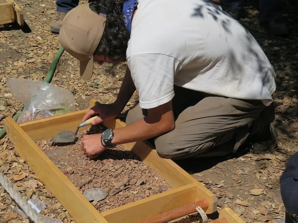
Here’s something most documentaries skip entirely: trained excavators often feel a change in the dirt before they ever see one. Compaction, grittiness, and moisture retention shift dramatically when human activity has disturbed the ground, even if the color looks nearly identical to the untouched soil around it.
Loose, crumbly soil mixed with small fragments of charcoal or shell usually points to a midden – an ancient trash heap. Despite the unglamorous name, middens are among the most valuable features on any site. They preserve diet, tool use, and daily habits in astonishing detail, often better than a burial does.
Unusually compacted soil, meanwhile, can mark old floor surfaces or walking paths, pressed flat by centuries of foot traffic. Excavators are trained to run soil through their fingers, not just scan it with their eyes, because texture reveals disturbance long before visual cues catch up. It’s a skill that takes years to build – and it’s exactly why an experienced digger is worth far more than their job title suggests.
#3 – Scattered Artifacts on the Surface Tell a Story Before the Digging Starts
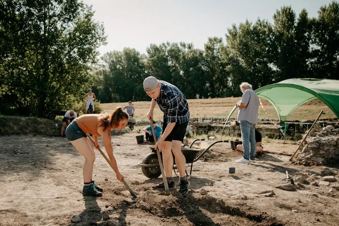
Long before a single unit is opened, archaeologists walk the site doing what’s called a surface survey – a structured grid search, not casual wandering. Where fragments cluster, or don’t, shapes the entire excavation strategy that follows.
Dense scatter usually points to a habitation area. Sparse, scattered fragments often suggest the material simply moved there through erosion, plowing, or animal disturbance rather than marking an intact site. Generations of farmers plowing the same fields have unknowingly scattered artifacts across hundreds of meters, which is why surface finds alone are treated as weak evidence compared to what’s found in undisturbed layers below.
Plenty of amateur metal detectorists misunderstand this, assuming a scattered coin or arrowhead means a treasure trove sits directly underneath. Professionals know better. Surface scatter is a clue, not a guarantee – and reading the pattern correctly can determine whether a dig site gets funded at all.
#4 – Plants Give Away Buried Structures Before Anyone Digs
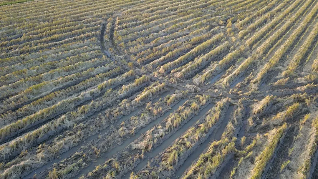
This one surprises almost everyone outside the field: plants are often better site-detectors than people. Crops and grass grow differently over buried stone structures, ditches, or filled-in pits, simply because those features change how soil holds moisture and nutrients.
Over a buried wall or foundation, vegetation tends to grow shorter, thinner, and yellowish, since roots can’t punch through stone to reach deeper moisture. Over old ditches or storage pits – where the soil is looser and richer – plants grow taller, greener, and denser. These contrasts, known as crop marks, are sometimes invisible from the ground but strikingly obvious from above.
Worth Knowing
- Crop marks tend to show up strongest during dry spells, when moisture-stressed plants reveal the sharpest contrast.
- Low-angle morning or evening light casts shadows that make subtle ground undulations far easier to spot from the air.
- Drone photography has made this kind of survey affordable for small teams that could never justify a helicopter flight.
- Some of archaeology’s most striking discoveries – from buried roads to entire field systems – were first spotted from above, not below.
That’s why aerial photography and drone surveys have become standard pre-dig tools. Archaeologists have spotted entire buried settlements, roads, and field systems from crop marks alone – sometimes years before a single trench is dug. It sounds almost too simple to be true, yet it remains one of archaeology’s most reliable non-invasive detection methods.
#5 – A Subtle Dip in the Ground Is Rarely an Accident
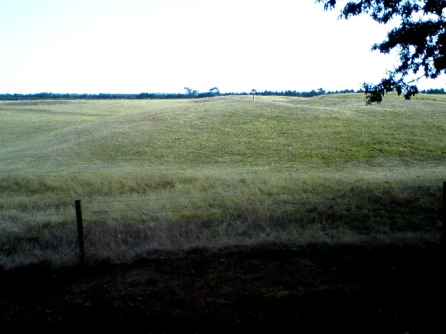
Most people walk right over slight dips and mounds in a landscape without a second thought. Archaeologists stop cold. A shallow depression in an otherwise flat field can mean a collapsed structure, a filled-in well, or a robbed-out grave where the ground settled after decomposition and compaction did their slow work.
Low mounds – sometimes just a few inches high – can mark the remains of ancient earthworks, house platforms, or burial tumuli worn down by centuries of weather. What looks like a natural hillock to a hiker might be a two-thousand-year-old burial mound to a trained eye.
This is a genuinely sore point in the field. Many archaeologists argue that thousands of these subtle features get erased every year by construction and farming, simply because untrained eyes never register them as significant. Once a mound is bulldozed flat, that information is gone for good – there’s no digital backup for a landscape.
#6 – Disturbed Ground Means Someone Already Beat You There
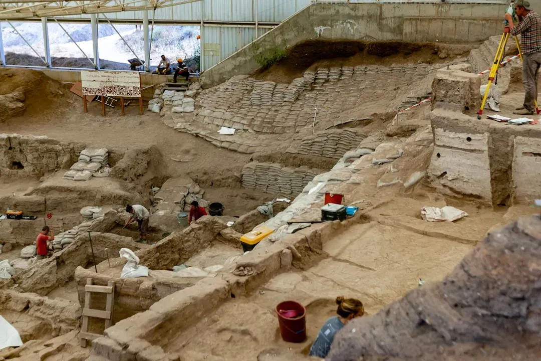
Nothing frustrates a field team faster than realizing looters got there first. Illegal excavations leave a very specific signature: irregular, unlined holes with backfilled soil that doesn’t match the surrounding stratigraphy in color or compaction.
Looting remains one of archaeology’s biggest unspoken crises, and experienced excavators can often date a looter pit within a few years just by how much vegetation has regrown over the disturbed soil. Older looting blends more naturally into the landscape; recent digging leaves telltale mounds of discarded backfill nearby.
Plow scars present a gentler version of the same problem. Decades of repeated plowing create straight, parallel disturbances in the upper soil layers that displace artifacts from their original context. Once context is lost, an artifact’s scientific value plummets – even if the object itself is still physically beautiful and intact.
#7 – Bone Fragments Get Sorted on the Spot, Not Later
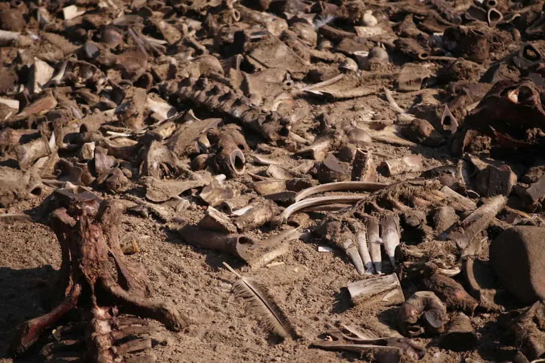
Within the first hour, any bone fragment triggers an immediate mental checklist, and sometimes a literal one. Is it animal or human? Fossilized or relatively recent? Burned, cut, or gnawed? These questions matter enormously, because the answers change the legal and ethical procedures that follow almost instantly.
Human remains discovered on a dig site can halt excavation entirely, triggering legal reporting requirements, consultation with descendant communities, or coroner involvement depending on the country. This isn’t optional. It’s one of the most tightly regulated aspects of field archaeology worldwide.
We are not digging up things, we are digging up people.
Sir Mortimer Wheeler
Animal bone gets sorted by species when possible, since faunal remains reveal diet, hunting practices, and even ancient trade networks. Cut marks from butchering tools, burn patterns from cooking fires, and gnaw marks from scavenging animals are all noted on-site, often before the bone is even bagged for lab analysis.
#8 – A Dark, Greasy Layer in the Soil Means Fire Was Here
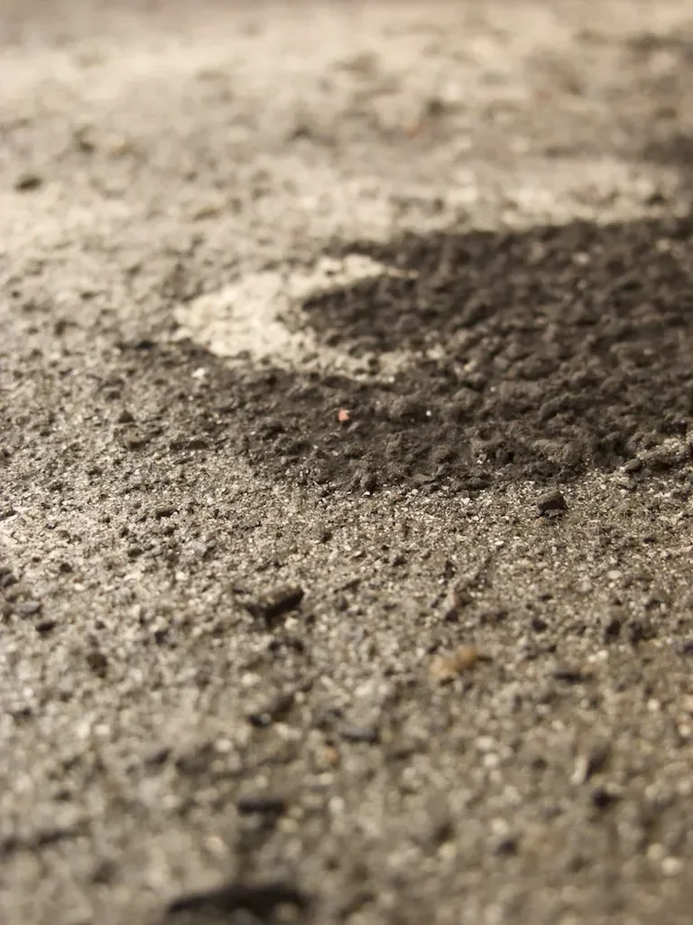
A thin, dark, greasy-looking layer in the soil almost always earns special attention because it likely represents a hearth, a cooking pit, or an intentional burning event. Charcoal and ash lenses are archaeological gold for one major reason: they can be radiocarbon dated with far more precision than most other materials on site.
Charcoal samples, when collected without contamination, can date a site to within decades rather than centuries – a huge leap in accuracy compared to relative dating based purely on stratigraphy. That’s why field teams treat these layers almost reverently, switching to clean tools and guarding against cross-contamination from modern soil.
Ash lenses also tell behavioral stories. A hearth near the center of what looks like a dwelling suggests domestic cooking. A burn layer spread across a wide area might mean a controlled land-clearing fire, a structural collapse, or even ritual activity. Context, once again, changes everything about interpretation.
#9 – Wet Ground Preserves What Dry Ground Destroys
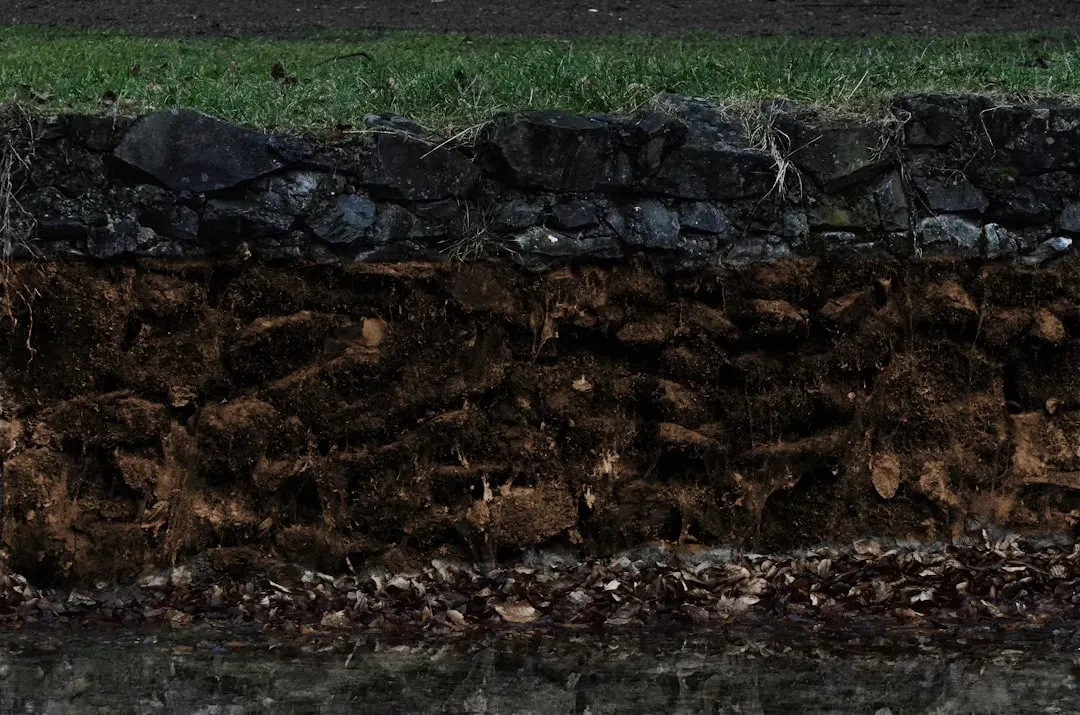
It sounds unglamorous, but water quietly decides what survives underground and what doesn’t. Archaeologists check moisture levels almost immediately, because waterlogged soil – paradoxically – often preserves organic material like wood, leather, and textiles far better than dry conditions ever could.
Anaerobic, oxygen-starved wet environments slow bacterial decay dramatically, which is why some of the best-preserved wooden artifacts and even human remains in archaeological history come from bogs and waterlogged sites rather than dry deserts, contrary to popular assumption.
At a Glance
- Waterlogged sites: excellent for wood, leather, rope, and even soft tissue – but flooding and unstable trench walls slow the dig down.
- Arid sites: excellent for textiles and desiccated remains – but wind erosion and brittle, crumbling material make handling risky.
- Either extreme beats “average” moisture, which tends to rot organic material fastest of all.
- Teams often check drainage and groundwater levels before committing to a full excavation plan.
On the flip side, poor drainage during excavation creates real headaches – flooded units, unstable trench walls, mold creeping over organic finds. Experienced teams check nearby drainage patterns and groundwater levels before committing to a full excavation plan, because a promising site can become nearly impossible to work if water isn’t managed early.
#10 – Root Tunnels and Animal Burrows Quietly Wreck the Timeline
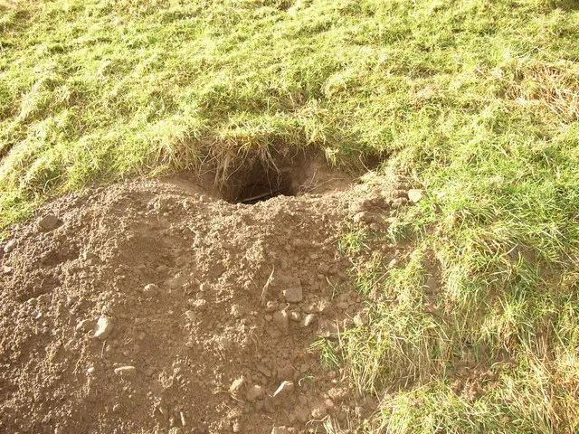
Here’s an uncomfortable truth documentaries conveniently leave out: rodents, insects, and plant roots destroy far more archaeological context than most people realize. Bioturbation – soil disturbance caused by living organisms – can mix artifacts from completely different centuries into the same layer, scrambling the picture entirely.
A single burrowing animal tunneling through a site over decades can drag a modern bottle cap several feet down into a layer that’s otherwise a thousand years old, or pull an ancient bead upward into recent soil. Archaeologists are trained to spot burrow-shaped disturbances immediately, distinguishing the loose, circular soil intrusion from the undisturbed matrix around it.
Tree roots cause similar chaos, physically shoving artifacts and features out of place as they grow, then leaving root-shaped voids behind that can be mistaken for postholes by an inexperienced eye. It’s a genuinely contentious issue in the field – some argue heavily wooded sites should almost never be prioritized for excavation, precisely because root disturbance so badly compromises the data.
#11 – The Farmer Down the Road Might Beat the Radar
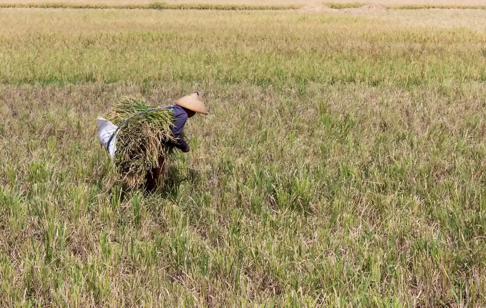
This might be the most controversial point on this entire list: many seasoned archaeologists privately admit that talking to local farmers produces better leads than expensive geophysical equipment. Long-term landowners often know exactly where their plows “hit something hard” every single year, or where crops mysteriously refuse to grow in the same spot, season after season.
Oral history and local anecdotes have led to significant archaeological discoveries that remote sensing technology completely missed, simply because ground-penetrating radar and magnetometry have real limits depending on soil type, moisture, and depth. Technology is a tool, not a guarantee.
Quick Compare
- Ground-penetrating radar: sends a pulse of radio frequency energy into the ground and records reflections, allowing the depth of burial to be estimated.
- Magnetometer: detects anomalies produced when buried features like kilns, hearths, and furnaces alter iron minerals into strongly magnetic forms.
- Neither is a magic answer key: GPR will not image the exact object, only where something is likely buried, leaving interpretation to the professional.
- Both still need “ground truthing” – an actual test excavation to confirm what an anomaly really is.
That said, local knowledge isn’t infallible. Folklore about “cursed fields” or buried treasure often has zero archaeological basis. The real skill lies in knowing which stories are worth chasing and which are generations-old exaggerations. Dismissing either extreme – pure technology or pure folklore – tends to produce weaker results than combining both approaches thoughtfully.
#12 – Where a Site Sits Tells You Why It Was Chosen
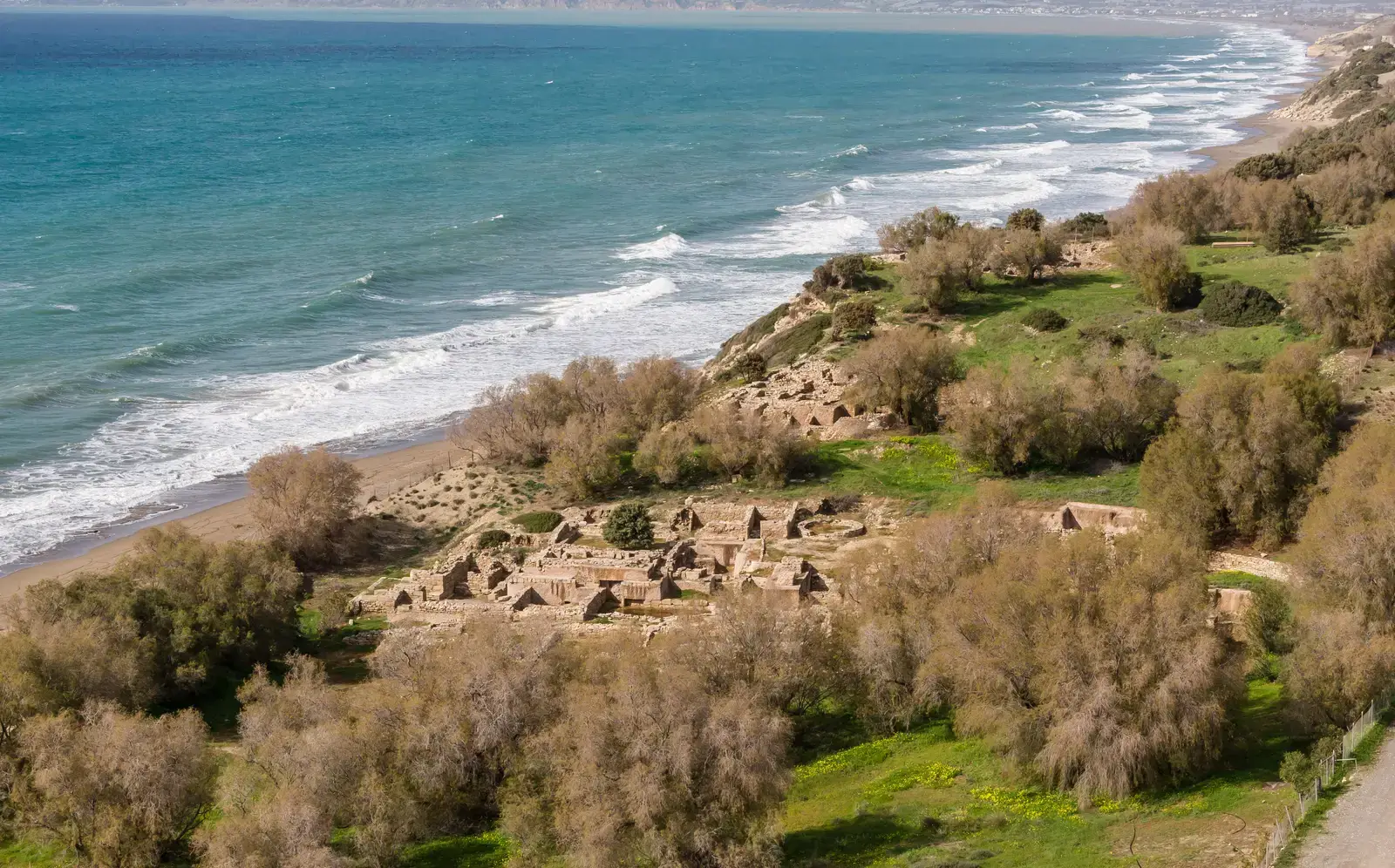
The last major thing noticed almost immediately is how a site relates to its surrounding landscape – proximity to water, sun exposure, elevation, natural defensive features. This isn’t a minor detail. It shapes the entire interpretation of why people chose to live, bury their dead, or build monuments in that exact spot.
Ancient settlements were rarely placed randomly, and archaeologists actively map sightlines, water access, and solar alignment because these factors reveal priorities – defense, agriculture, ritual significance, trade route access. A site perched on a hill with clear visibility in multiple directions tells a very different story than one tucked into a sheltered valley near a spring.
Plenty of monumental structures, from burial mounds to ceremonial sites, show intentional alignment with solstices or specific celestial events, hinting at astronomical knowledge that’s easy to underestimate from a modern vantage point. Recognizing this orientation within the first hour often shapes the entire research question the dig is built around, long before excavation begins in earnest.
The Bottom Line
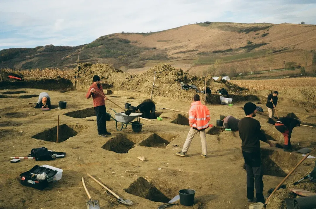
The real magic of archaeology isn’t the gold coin or the perfectly preserved skull – it’s everything the untrained eye walks straight past. Soil color, plant height, even ant tunnels carry more scientific weight than most people ever give them credit for.
Frankly, the obsession with “finding treasure” undersells a discipline built almost entirely on patience and pattern recognition – on reading subtle environmental clues most of us wouldn’t notice in a lifetime of looking. The next time you see a dig site on TV, watch what happens before anyone touches a shovel. That’s where the real story actually begins, and it’s the part no camera crew ever bothers to slow down for.