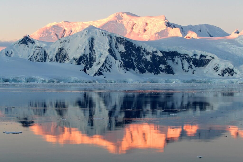
You walk across an empty, white landscape in your imagination and assume it must be flat and featureless under the snow. Under Antarctica’s ice, though, that picture is wildly wrong. Beneath those frozen miles lies a buried world of sharp peaks, plunging valleys, enormous rift basins, and even ancient river landscapes that predate the first ice sheet by tens of millions of years. Once you realize that, Antarctica stops being a blank at the bottom of the map and becomes one of the most dramatic mountain regions on Earth – you just happen to need radar, gravity surveys, and a lot of patience to see it. As you explore what scientists have discovered, you start to grasp that the ice is not just sitting there; it is shaped, steered, and even born from the hidden geology below.
You’re Standing Above a Hidden Alpine World
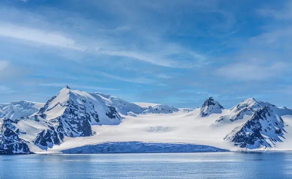
If you could drain away all the ice below your feet in East Antarctica, you would not be left with a flat plain. You would be looking at something that feels more like the European Alps or the Rocky Mountains: ridges, jagged summits more than two or three kilometers high, and valley systems that weave between them. These are real mountains with steep faces and sharp divides, not just low bumps under an ice sheet. What makes this so startling is that you never see any of it at the surface. In places like Dome A, the landscape you can actually stand on is a smooth, gently curved plateau of ice thousands of meters thick. Underneath, radio-echo sounding and gravity measurements have mapped a rugged bedrock world, in some areas buried under more than two miles of ice. You are, without realizing it, effectively walking along the roof of an invisible mountain range.
Meet the Gamburtsev Subglacial Mountains You’ll Never See

One of the most dramatic examples of this hidden topography is the Gamburtsev Subglacial Mountains in central East Antarctica. If the ice vanished, you would see a range roughly six hundred kilometers long, with peaks rivaling major ranges elsewhere on the planet and a deeply carved alpine landscape of ridges and cirques. These mountains are not some modest set of hills; they are a fully developed interior mountain belt that has simply been entombed. Scientists first stumbled on the Gamburtsevs in the late 1950s through seismic work, but for decades you only had a rough idea they existed at all. Since then, massive airborne geophysical campaigns have flown back-and-forth line grids over the region, using ice-penetrating radar, laser altimeters, and gravity data to reconstruct the bedrock surface. The picture that has emerged is almost surreal: a youthful-looking mountain range, with steep U-shaped valleys and high peaks, apparently sitting in one of the most stable, ancient parts of Earth’s crust.
You Find River-Cut Valleys in a Place That Should Be All Ice
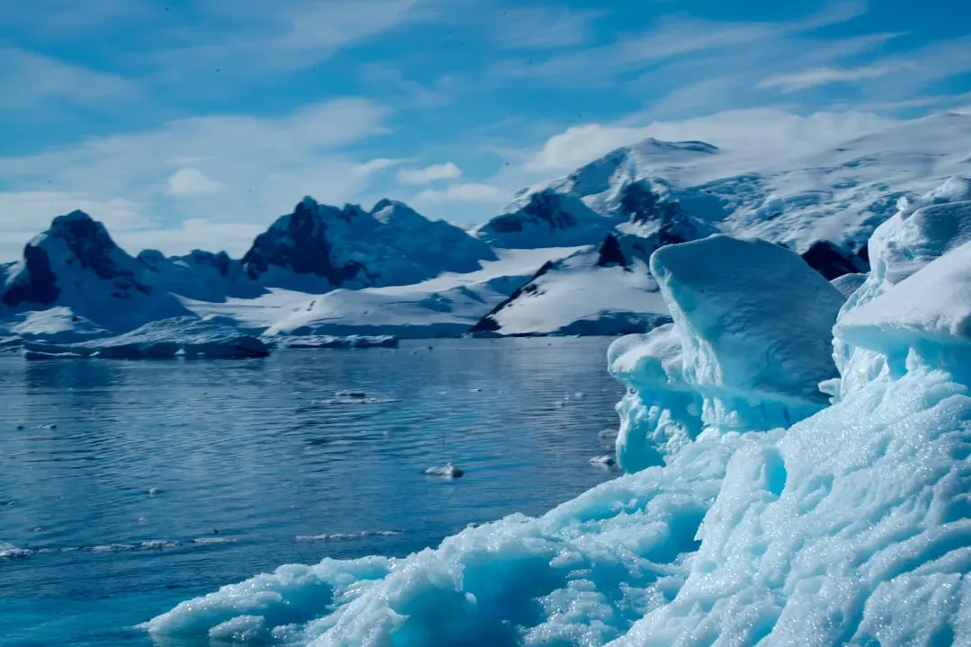
Here’s where the story gets even stranger: when you look closely at the shapes of those buried valleys, you see the fingerprints of running water, not just ice. Long before the continent froze over, rivers carved networks of V-shaped valleys and drainage systems across what is now the Antarctic interior. Later, when the first local glaciers and then a full ice sheet formed, the ice overdeepened many of these valleys, turning some of them into classic U-shaped troughs and cirques. That means when you look at radar-derived maps of the bedrock, you are effectively reading a layered history. You are seeing an older river landscape that records a much warmer Antarctica, later reworked by advancing alpine glaciers and the growing East Antarctic Ice Sheet. For you as a non-specialist, that is a powerful idea: Antarctica is not simply an eternal kingdom of ice, but a continent that once had flowing rivers, eroding mountains, and landscapes that evolved much like mountain belts elsewhere on Earth.
You Discover Deep Basins and Giant Subglacial Valleys
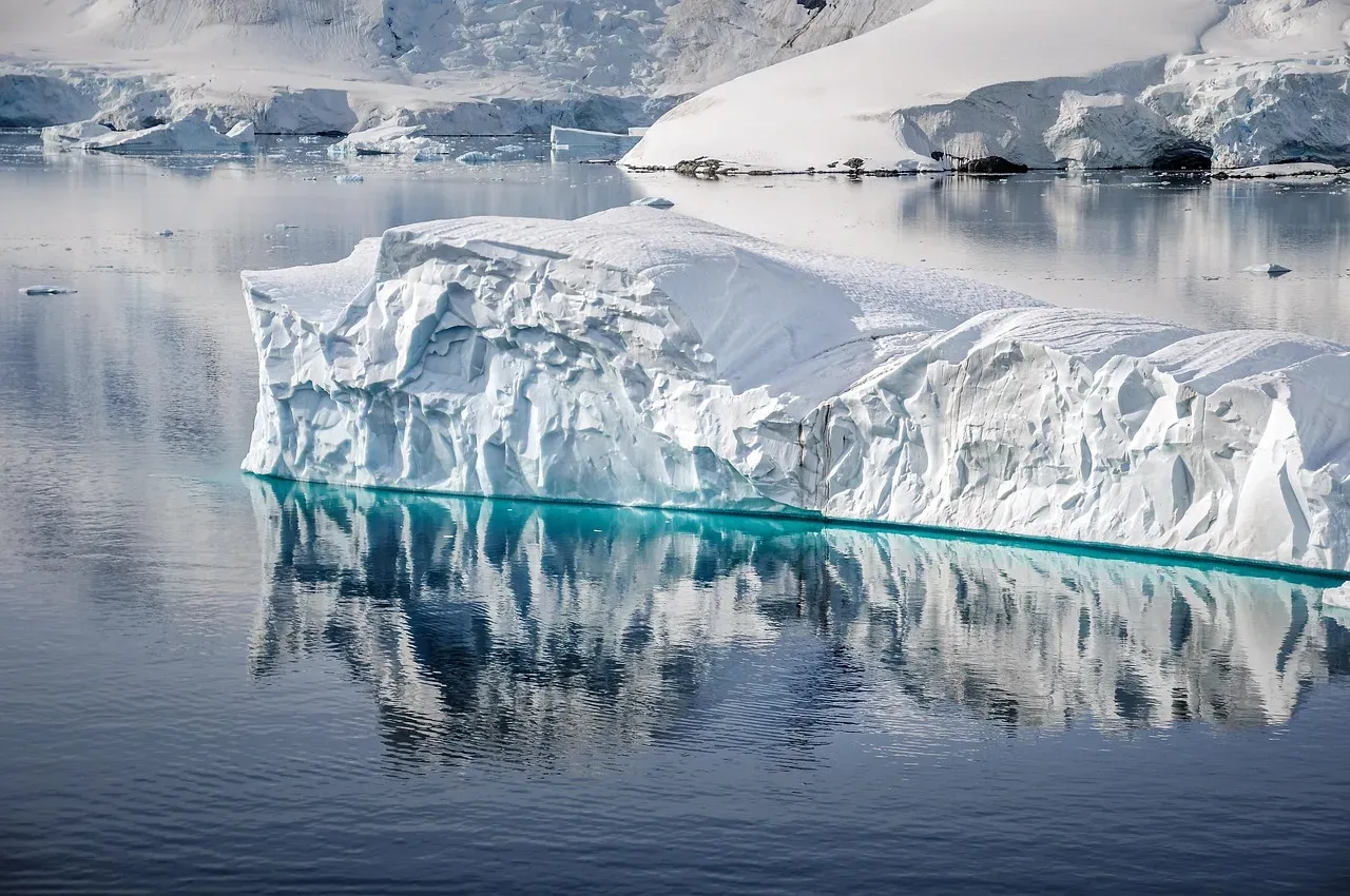
Mountains are only half of the story under the ice. When you look across East Antarctica using new compilations of radar data, you also see huge low-lying basins and V-shaped depressions stretching hundreds of kilometers. Some of these subglacial basins – like the Aurora or Wilkes basins – are so deep that if the ice were gone and the ocean could flow in freely, they would become deep embayments or inland seas. Others are chained valleys that cut right beneath modern ice divides. These basins and valleys are not just geographical trivia. They help control where ice flows fastest and where it can thin or thicken. If you picture the ice sheet as pancake batter, these hidden troughs are the grooves and channels the batter naturally runs along. When you see maps of fast-moving outlet glaciers and ice streams today, they are often tapping into long-standing structural weaknesses and lowlands in the crust that were carved or stretched long before the modern climate entered the picture.
You Watch Tectonics, Erosion, and Ice Sculpt the Same Landscape
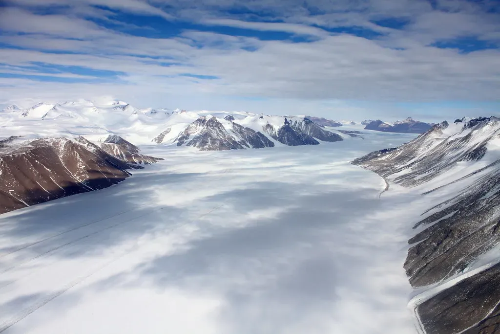
At first glance, it is tempting to assume Antarctica’s buried mountains formed the same way as other big ranges at plate boundaries, like the Himalaya. The reality is more subtle and, if you enjoy Earth history, more intriguing. Evidence from seismic imaging and gravity data shows that parts of ranges like the Gamburtsevs have deep, ancient roots created when old continents collided to build supercontinents hundreds of millions of years ago. You are looking at a reawakened legacy of very old mountain building. Later, rifting – where the crust stretched and began to pull apart – combined with erosion and glacial carving to rejuvenate and reshape that old topography. Over time, rivers and then glaciers sliced deep valleys into an upland region, while changes in the weight of the crust as rocks were eroded and ice came and went caused further uplift in some areas. So when you picture one of these hidden peaks, you are really seeing the outcome of a long conversation between tectonic forces beneath your feet and ice and water at the surface.
You Realize These Hidden Mountains Help Birth and Steady the Ice Sheet
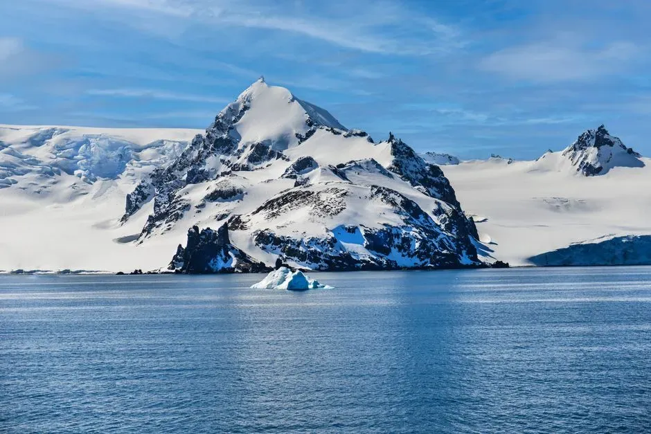
You might assume that the mountains are just victims in this story, being slowly ground down by ice. In fact, they are also key players in how the East Antarctic Ice Sheet formed and how it behaves. High interior plateaus and mountain belts like the Gamburtsevs and the Transantarctic Mountains provided the elevated ground where ice first began to accumulate when Antarctica’s climate cooled tens of millions of years ago. In simple terms, the continent’s own topography gave the ice somewhere to start. Once the ice sheet grew large enough, it buried those original “seed” landscapes beneath thousands of meters of frozen water, but their influence did not stop. Steep slopes still guide ice flow, bedrock ridges still pin the base of the ice in places, and deep valleys funnel ice toward the coast. For you, that means the stability of the Antarctic ice sheet in a warming world is tied not only to atmosphere and ocean temperatures, but also to the stubborn, unchanging architecture of the rock beneath.
You See Why Mapping the Hidden Bed Matters for Sea Level and Climate
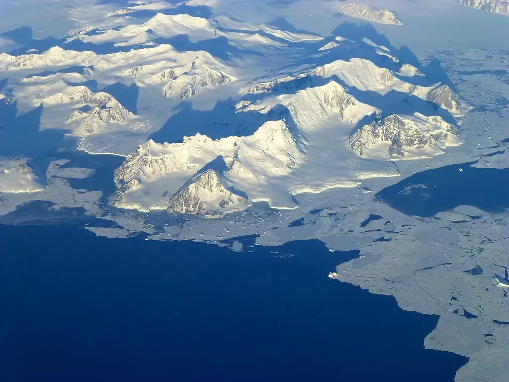
All of this might feel like fascinating but distant geology, until you remember that Antarctica holds enough ice to raise global sea level by dozens of meters if it were fully melted. Whether parts of it are likely to retreat quickly or remain relatively stable depends heavily on what the bed looks like. If valleys slope downward inland, they can allow warm ocean water to undercut glaciers. If deep basins connect to the coast, they can become channels for rapid ice loss. If rugged mountains form sills and thresholds, they can slow retreat. That is why teams keep refining bed elevation models using every new radar line and satellite dataset they can get. When you see news stories about updated Antarctic bed maps, you are really seeing the world trying to sharpen its view of tomorrow’s sea-level risk. Knowing where deep overdeepened troughs, rift basins, and high subglacial ridges lie beneath the ice is not just a scientific curiosity – it is a practical input for the models that help coastal communities plan for their future.
You Start to Think of Antarctica as a Time Capsule, Not a Blank Spot
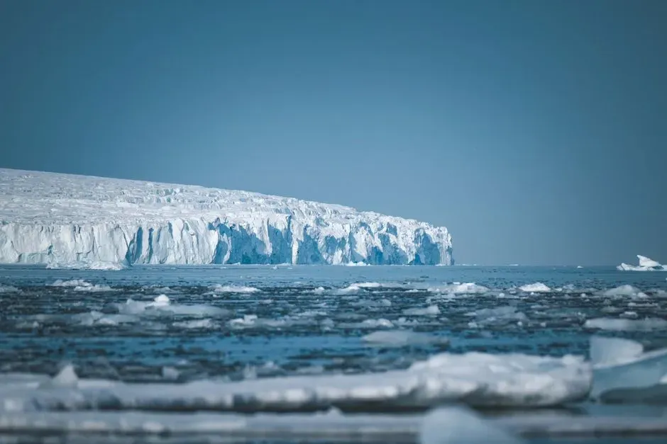
Once you let this sink in, Antarctica stops being that vague white smudge at the bottom of the atlas and becomes more like a sealed time capsule. Under the ice, you have pre-glacial river landscapes, ancient mountain roots from supercontinents long gone, glacially carved overdeepenings, and networks of valleys that record shifts from warm climates to frozen ones. The ice sheet is not just hiding these stories; in some ways, it is also preserving them from erosion that would have destroyed comparable landscapes elsewhere. Personally, the first time I really looked at subglacial maps of Antarctica, it felt like lifting the lid off an entirely different planet. You might never set foot at Dome A or peer down an Antarctic valley wall in person, but every time you hear about sea-level projections or Earth’s climate history, that hidden topography is quietly in the background, shaping the narrative. Knowing it is there makes the world under your feet feel deeper, older, and more alive. When you picture Antarctica now, do you still see just a flat sheet of ice – or do you see the ghostly outline of buried mountains and forgotten valleys underneath?