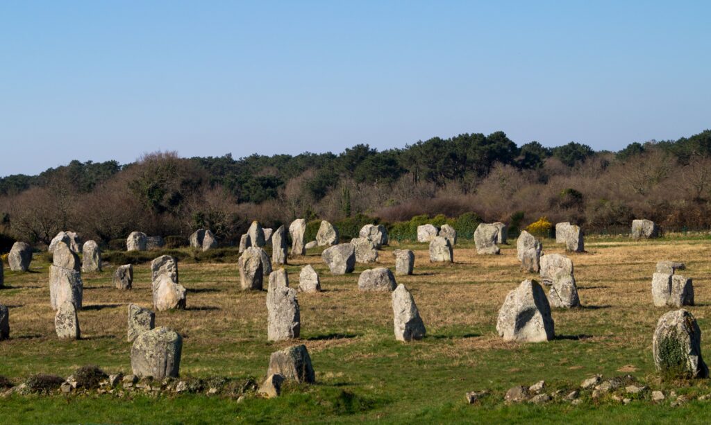
Most textbooks still repeat the same reassuring line: Stone Age builders eyeballed their monuments, tied a rope to a stick, and hoped the results looked roughly round. Loose stones, uneven ditches, “close enough” geometry – that was supposedly the ceiling of prehistoric skill.
Except that’s not what the numbers say anymore. Surveyors armed with theodolites, GPS units, and statistical modeling have spent decades re-measuring these sites, and their conclusions keep landing in the same uncomfortable place: the tolerances are too tight, too repeatable, and too consistent across hundreds of miles to be accidental.
Fourteen sites now stand out as the clearest proof that something far more disciplined was happening on those windswept fields thousands of years ago. The list builds toward the most jaw-dropping recalculation of them all – one that forces a full rethink of what “primitive” actually meant.
#1 – Stonehenge’s Sarsen Circle Diameters

Modern re-surveys confirm the outer sarsen ring was laid out to within a few centimetres of a perfect circle, built around one consistent modular unit. For years, the assumption was that the shape was a rough approximation, shaped by whatever stones happened to be available and the slope of the ground.
Theodolite work and statistical analysis tell a different story. The diameters cluster tightly around multiples of a 2.72-foot megalithic yard, with errors frequently under half a foot.
The wildest part is that builders held this precision across a 30-metre diameter while wrestling 25-tonne blocks into position. Uneven stone quality and shifting ground were clearly compensated for during setting-out, which only works if someone was checking measurements constantly with a standard rod instead of guessing.
But that’s nothing compared to what turned up at #2…
#2 – Stonehenge’s Aubrey Holes
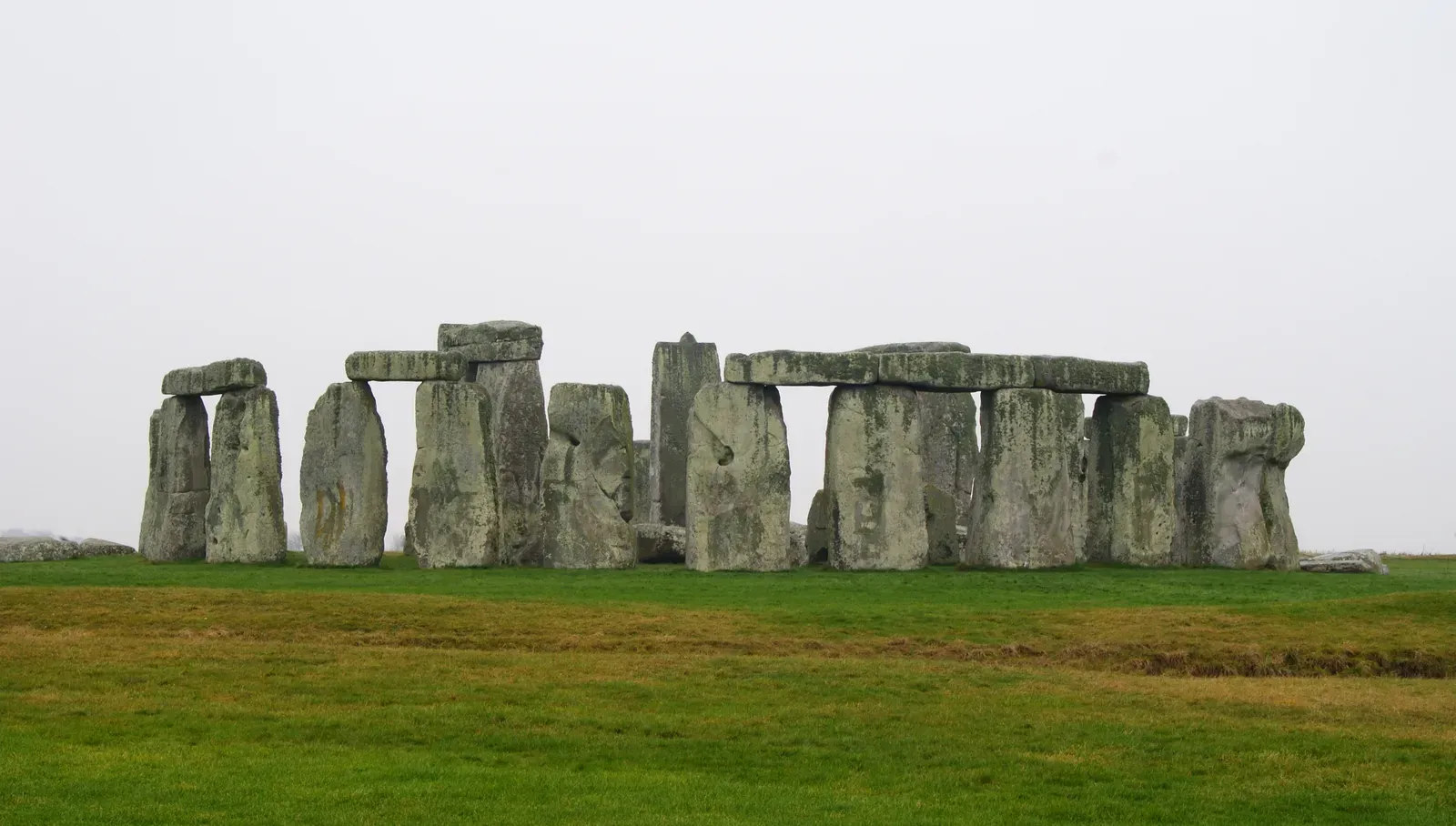
The 56 Aubrey Holes form a near-perfect circle whose spacing matches the same megalithic yard to within millimetres, according to multiple independent surveys. Older interpretations treated them as simple post-holes, dug with little regard for exact geometry.
Fresh statistical modelling of the excavation records tells a very different story. The holes were positioned with an average deviation of just 2.4 millimetres from ideal chord lengths – a figure that holds even after accounting for uncertainty in the original centre-line estimates.
That kind of consistency doesn’t happen by accident. It means builders transferred a fixed chord length repeatedly around the circuit using peg-and-rope methods refined to a level modern people rarely give them credit for.
But that’s nothing compared to what we found about #3…
#3 – Avebury’s Outer Circle
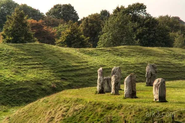
Avebury’s massive outer ring shows setting-out accuracy approaching 1 in 1,000, according to qualified surveyor assessments of the surviving stones and ditch. Older accounts wrote the layout off as irregular, blaming the site’s enormous scale and centuries of later damage.
Re-measurement of the perimeter and radial distances tells a cleaner story. The same unit found at Stonehenge shows up here too, with integral multiples producing near-exact closures around the ring.
The single most surprising detail is how builders pulled this off across a 421-metre diameter with nothing resembling a modern theodolite. Small adjustments for topography were folded in without breaking the overall geometric integrity – a sign of a shared measurement tradition carried across centuries and hundreds of kilometres.
Fast Facts
- Located in Wiltshire, England, part of the same UNESCO World Heritage Site as Stonehenge
- Often cited as the largest stone circle in the world
- Enclosed by a bank and ditch surrounding roughly 11 hectares (28 acres)
- A modern village sits partly within the ancient earthwork
- First laid out and expanded during the Neolithic period, around 2600 BCE
But that’s nothing compared to what we found about #4…
#4 – Carnac’s Le Ménec Alignments
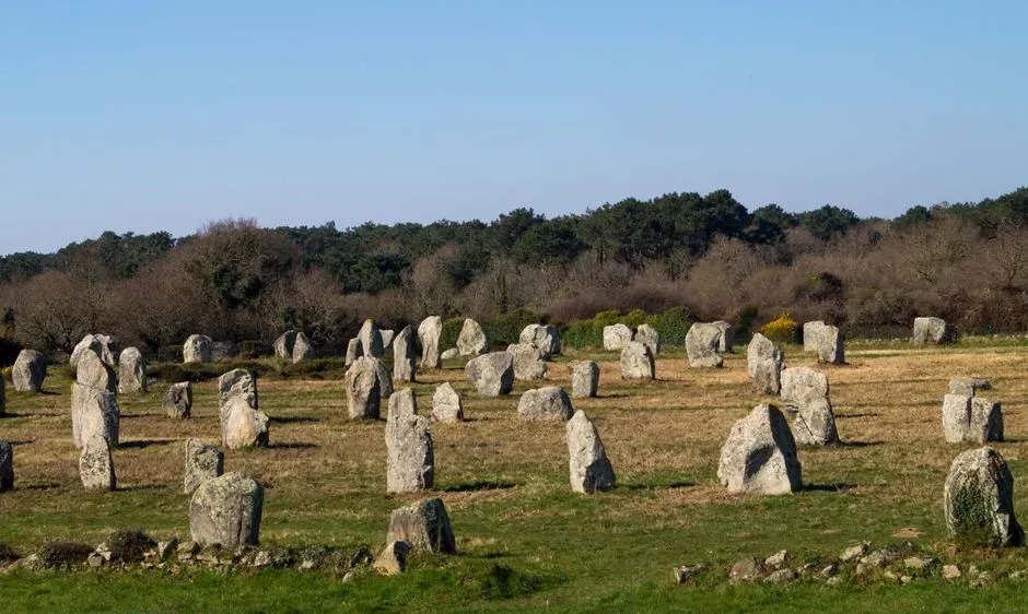
The long parallel rows at Carnac follow spacing and orientation that line up with a standardised unit far more regularly than casual observation ever suggested. Early explorers simply described the avenues as roughly parallel lines of standing stones and left it at that.
Geophysical and tape surveys tell a different tale. Even spacing is maintained over more than a kilometre, with deviations small enough to point to deliberate modular planning rather than rough estimation.
Regional variation exists, but even that variation stays within a narrow band around the megalithic yard. That’s the giveaway: a maintained standard, not random placement, and it becomes obvious the moment you compare multiple parallel rows side by side.
But that’s nothing compared to what we found about #5…
#5 – Woodhenge’s Egg-Shaped Rings
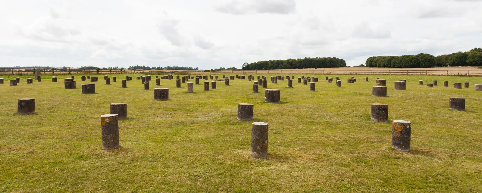
Woodhenge’s concentric rings were built as precise egg and elliptical forms whose perimeters land on exact multiples of the megalithic yard. The old view treated the non-circular shapes as practical shortcuts for timber posts, nothing more.
Steel-tape and theodolite surveys of the post-hole positions say otherwise. These are deliberate geometric constructions, engineered to produce integral lengths while hiding symmetries inside the layout.
The most striking part is that builders solved genuinely complex layout problems using only pegs and ropes, yet still landed perimeters accurate to within a few centimetres. This mastery shows up across several rings at the same site, which points to repeated testing and refinement rather than a lucky first attempt.
But that’s nothing compared to what we found about #6…
#6 – The Ring of Brodgar’s Impossible Fidelity
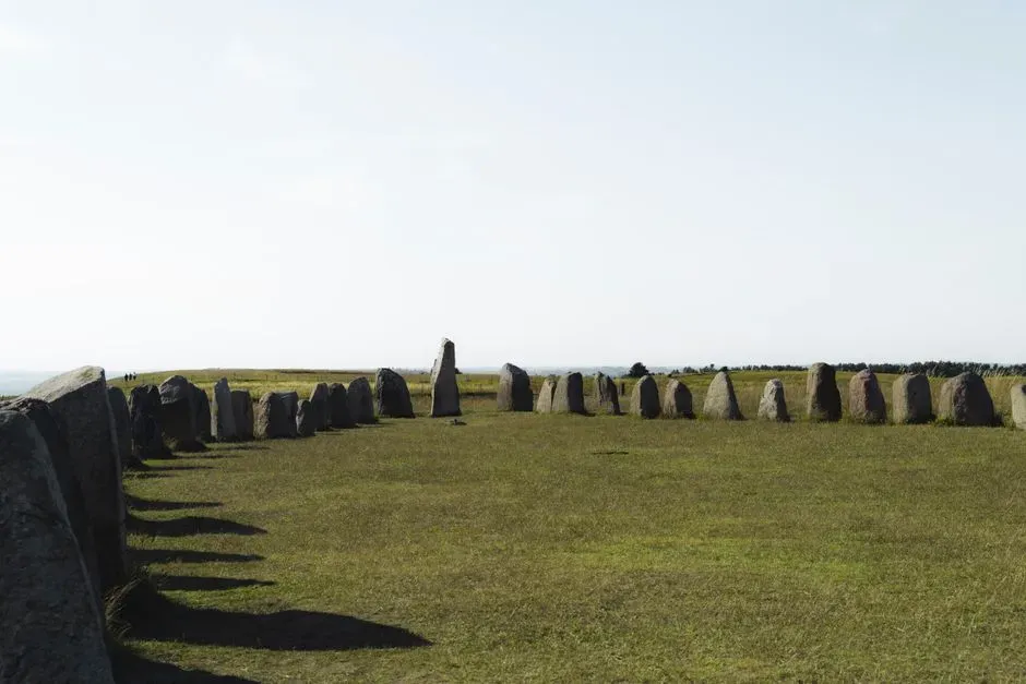
The Ring of Brodgar in Orkney has a diameter of roughly 340 feet that matches 125 megalithic yards, with an uncertainty of only 0.18 metres in high-precision surveys. Earlier estimates gave the site much wider margins, chalking it up to the remote location and brutal weather.
Re-analysis of the stone positions shows builders held the unit steady across the full circuit despite the exposed peninsula setting. That kind of fidelity, repeated across different regional groups, keeps pointing back to a widely shared measuring practice rather than isolated guesswork.
The minor deviations that do exist fall well inside what you’d expect from simple rope stretch or ground irregularities – in other words, the margin of error is human, not systemic.
But that’s nothing compared to what we found about #7…
#7 – Newgrange’s Hidden Proportional Code
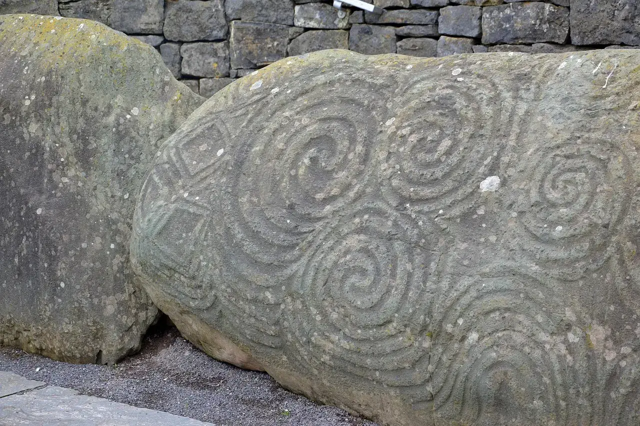
Newgrange carries precise proportional measurements in its kerb stones and passage that line up with the same modular system found much farther south. For decades, the monument got attention mainly for its solstice alignment, while its linear precision went largely unremarked.
Detailed surveys of the orthostats and overall footprint changed that. Consistent ratios show up again and again, achieved through repeated application of a single standard length.
One particularly telling detail is how the builders locked massive stones into stable configurations using geometry that actually distributes structural loads. That’s engineering awareness, not just stacking – the kind of knowledge that gets refined through generations of trial and error.
Worth Knowing
- Located in County Meath, Ireland, part of the Brú na Bóinne UNESCO World Heritage Site
- Built around 3200 BCE, predating both Stonehenge and the Great Pyramid of Giza
- Famous for a winter solstice sunrise that briefly illuminates the inner passage
- The mound covers roughly one acre and is ringed by carved kerbstones
But that’s nothing compared to what we found about #8…
#8 – The Cotswold Severn Long Barrows’ Rope Mathematics
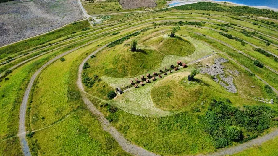
Multiple Cotswold Severn long barrows were laid out using proportional divisions of a single measured rope length, producing matching ratios between the wide and narrow ends. Traditional descriptions painted these earthen monuments as roughly trapezoidal piles, built without any real metrology behind them.
Field surveys of surviving examples say otherwise. Consistent sequences of folds and divisions recreate the entire ground plan from one base measurement, and the method holds across at least seven documented barrows with only minor site-specific tweaks.
What makes this genuinely impressive is that it let non-literate builders achieve repeatable architectural proportions without writing a single number down. The rope itself was the calculator.
But that’s nothing compared to what we found about #9…
#9 – The Menga Dolmen’s Load-Bearing Trick
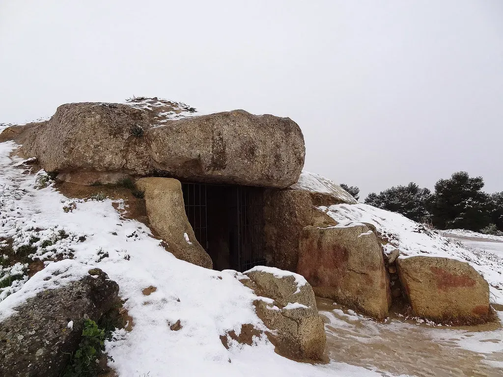
The Menga dolmen near Antequera fits stone to stone so tightly that the whole structure functions like an early arch, distributing weight through deliberate angling. It was long assumed these massive sandstone blocks were roughly shaped and stacked with generous tolerances.
Modern analysis shows something more calculated. The builders understood rock properties and geometry well enough to create interlocking stability without any mortar at all.
The most unexpected finding is the deliberate shaping that compensates for sandstone’s relative fragility while still achieving real load-bearing precision. Layers of beaten clay protect the interior further, and these choices only make sense as the product of systematic measurement and testing during construction.
But that’s nothing compared to what we found about #10…
#10 – Stanton Drew’s Unified Circle System

Stanton Drew’s three stone circles show diameters and inter-circle distances that conform closely to the megalithic yard across a genuinely complex layout. The site was often cited as an example of looser planning compared with the more famous Wessex monuments.
Re-surveys tell a different story. Consistent modular spacing and geometric relationships link all three circles into one unified design, and that precision holds even with multiple overlapping features added over time.
Whoever expanded this site later clearly came back to the same standard unit rather than improvising a new one – a small detail that says a lot about how seriously the measurement system was maintained.
But that’s nothing compared to what we found about #11…
#11 – Callanish’s Fan-Shaped Precision

Callanish incorporates alignments and row spacings measured to the same unit, with deviations small enough to rule out pure visual estimation. Its remote Hebridean location led some researchers to expect more irregularity, blaming local stone and brutal weather.
Statistical examination of the fan-like rows says otherwise. Deliberate convergence and spacing patterns tie directly back to the megalithic yard.
That consistency, showing up across island groups separated by open water, points to knowledge transfer rather than independent invention. Builders made minor adjustments for terrain, but never broke the overall modular framework to do it.
But that’s nothing compared to what we found about #12…
#12 – Durrington Walls’ 90-Degree Cursus
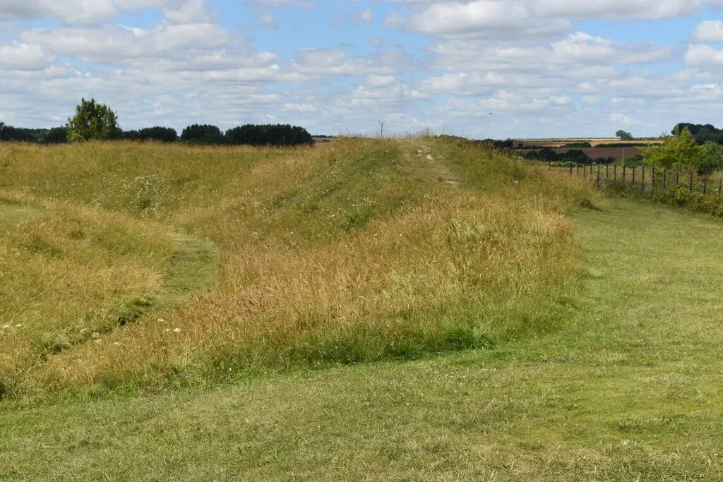
The major cursus at Durrington Walls repeats a 9,090-foot measurement in multiple directions, with GPS-verified accuracy within a metre. Earlier mapping simply treated the earthwork as a basic elongated enclosure and moved on.
Fresh surveys confirm something far more deliberate: intentional repetition of the same long-distance module, linking henges, barrows, and the River Avon into a single coordinated system.
The most remarkable part is the 90-degree precision achieved between key sightlines despite the sheer scale involved. That kind of accuracy means builders could transfer and verify large measurements across an entire landscape, weaving natural high points into constructed features on purpose.
Quick Compare
| Site | Feature Measured | Approx. Size in Megalithic Yards |
|---|---|---|
| Stonehenge Sarsen Circle | Diameter (~30m) | ~36 MY |
| Ring of Brodgar | Diameter (~340 ft) | 125 MY |
| Avebury Outer Circle | Diameter (~421m) | ~508 MY |
| Durrington Walls Cursus | Length (9,090 ft) | ~3,342 MY |
But that’s nothing compared to what we found about #13…
#13 – Silbury Hill’s Hidden Base Geometry

Silbury Hill’s enormous mound was set out with base perimeter and height ratios that align with the same measurement tradition seen in nearby circles. For a long time, the sheer scale of the thing made exact geometry seem almost implausible.
Careful contour and geophysical surveys have since recovered proportional relationships consistent with modular planning from the very first phase of construction. Builders held control over the profile through successive building stages, not just the initial layout.
The final form balances two things at once: practical structural stability and clear geometric intent. That combination doesn’t happen by accident on a mound this size.
At a Glance
- Located near Avebury, in Wiltshire, England
- Widely regarded as the tallest prehistoric human-made mound in Europe, standing about 30 metres (98 feet) high
- Base covers roughly 5 acres of ground
- Construction unfolded in multiple stages, beginning around 2400 BCE
But that’s nothing compared to what we found about #14…
#14 – The Megalithic Yard’s Thousand-Year Standardisation

This is the finding that changes everything. Across Britain and northern France, re-measurement of more than 250 sites shows the megalithic yard was maintained with a precision of roughly ±0.003 feet – for over a thousand years.
Earlier scepticism leaned hard on regional variations and the total absence of physical measuring artefacts. Comprehensive statistical analysis of diameters, perimeters, and alignments has quietly dismantled that scepticism, supporting a shared, stable unit applied with remarkable consistency site after site.
The single most surprising fact is that this standard survived changes in monument type and geography without ever drifting beyond a few millimetres. Surveyors who once dismissed the pattern as coincidence now accept that these builders had a practical metrology far more sophisticated than anyone assumed.
That’s not a minor correction to the history books. That’s a full reassessment of what prehistoric people were technically capable of.
Modern surveys have quietly overturned the long-held image of megalithic builders as improvising with rough ropes and generous guesswork. From Stonehenge’s millimetre-level chord accuracy to Carnac’s kilometre-scale row spacing and the rope mathematics baked into long barrows, the data points to one shared measurement system, executed with real engineering discipline.
Here’s the opinion part: the persistence of the megalithic yard across centuries and regions isn’t a curiosity – it’s the strongest evidence we have that these communities operated with standards we once assumed were impossible without writing or metal tools. Give credit where it’s due. These weren’t people fumbling in the dark with sticks and string; they were running a measurement tradition precise enough to embarrass a few modern contractors. Did we miss one? Drop it in the comments.