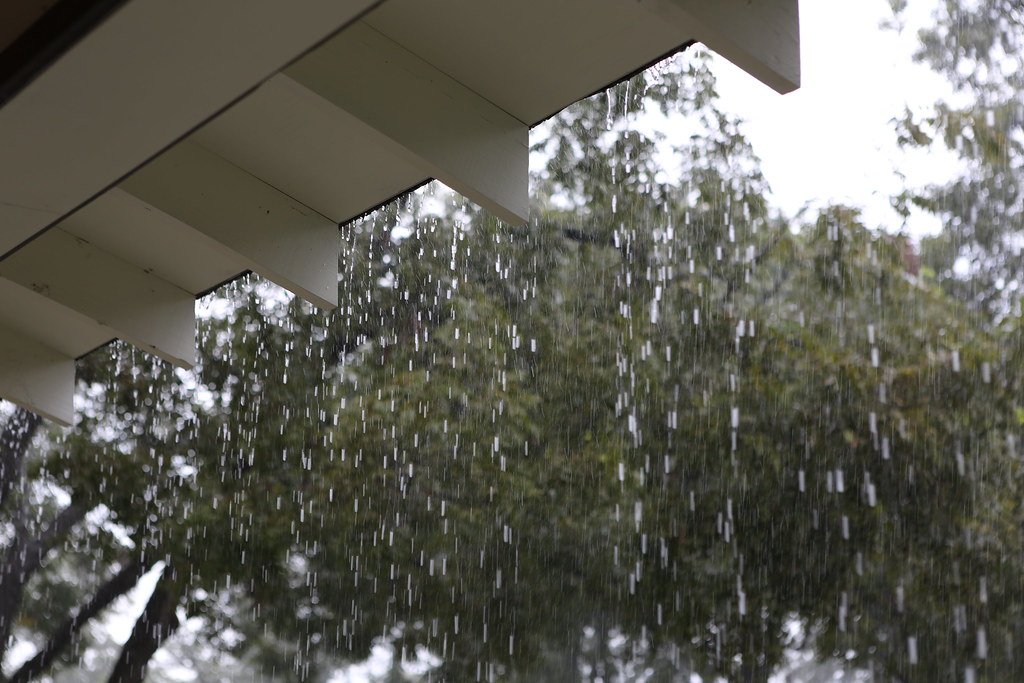
Tuesday Delivered Rainfall Goldilocks Would Approve Of (Image Credits: Flickr)
Houston – Residents enjoyed a uncommon treat on Tuesday with steady, beneficial showers that soaked the region without causing chaos. These rains delivered just the right amount to ease drought concerns while sparing streets from flooding. Forecasters now predict one additional day of scattered precipitation before drier, warmer conditions dominate the weekend.[1]
Tuesday Delivered Rainfall Goldilocks Would Approve Of
Light-to-moderate showers fell consistently from early morning through evening, blanketing nearly every corner of the Houston area. Rainfall totals ranged from 0.75 to 2 inches across the board, a volume sufficient to penetrate soils and replenish groundwater without overwhelming drainage systems.[1]
Such events stand out in Houston’s typically erratic weather patterns. Heavy downpours often lead to flash flooding, while other times, storms miss large swaths of the city. Tuesday’s setup proved ideal: it occurred on a weekday, avoided intense bursts, and reached widespread areas uniformly.
Today Brings the Usual Houston Variability
Conditions shift to a more familiar hit-or-miss pattern Wednesday, with sporadic showers possible throughout the day. While many spots may stay dry, isolated locations could see 3 inches or more, raising the risk of localized street flooding. A marginal risk of excessive rainfall exists, according to Space City Weather.[1]
Clouds and precipitation will cap highs in the upper 70s to near 80 degrees, accompanied by light southeasterly winds. Activity should diminish by afternoon and evening as humidity builds, keeping overnight lows near 70 degrees. Drivers and outdoor planners should monitor updates closely.
Thursday Marks the Transition to Warmer Days
Expect a partly sunny sky Thursday with temperatures climbing into the mid-80s. Rain chances drop to around 10 percent, though gusty south winds up to 25 mph could stir some dust or make afternoons feel breezier.
This day serves as a bridge to the weekend’s more summery feel. Dew points in the lower 70s will introduce noticeable humidity, the highest levels recorded so far this season.
Weekend Outlook: Sunshine, Heat, and High Humidity
Highs will range from the mid-80s to around 90 degrees inland over the weekend, blending sun and clouds. Nighttime temperatures will linger in the lower 70s, signaling the approach of warmer months. South winds, strengthening in the afternoons, will provide cyclists with a crosswind Saturday and tailwind Sunday for events like the MS 150.[1]
Spotty showers remain possible but unlikely for most residents. Here are key factors shaping the forecast:
- Increased humidity from rising dew points.
- Persistent south winds driving warmth.
- Minimal rain threat, favoring outdoor activities.
- Above-normal temperatures across much of Texas.[1]
| Day | High Temp | Rain Chance |
|---|---|---|
| Thursday | Mid-80s | ~10% |
| Friday-Sunday | Mid-80s to 90° | Low |
Next Week Hints at Even Hotter Conditions
Temperatures may push into the 90s for the first time this year early next week, paired with continued humidity and a mix of clouds and sun. Large parts of the metro area could experience these peaks.
A front might arrive mid-to-late week, potentially offering cooler air and scattered showers. Still, the overall pattern favors above-average warmth.
- Tuesday’s 0.75-2 inches aided drought relief without flooding.
- Watch for isolated heavy rain today amid upper 70s-80s highs.
- Prepare for 80s-90s and muggy conditions this weekend.
Houston’s weather reminds us how quickly patterns can pivot from relief to routine heat. As the city transitions, residents gain a brief drought buffer before summer’s grip tightens. What are your plans for the warmer weekend ahead? Share in the comments.