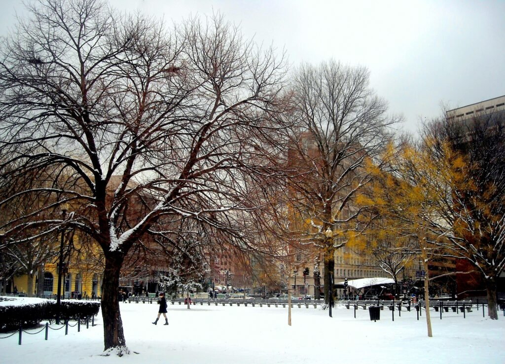
Elevated Surfaces Prove Most Dangerous (Image Credits: Upload.wikimedia.org)
Washington region – A stubborn layer of morning ice transitioned into rain and fog, complicating commutes across the D.C. area on Tuesday.[1]
Elevated Surfaces Prove Most Dangerous
Freezing rain left slick spots particularly on bridges, ramps, and overpasses, where temperatures lingered near the freezing mark early Tuesday.[2][1] Many drivers encountered hazardous conditions as ground temperatures remained slightly warmer than air readings between 30 and 35 degrees Fahrenheit. The National Weather Service highlighted these elevated areas as prime locations for ice buildup up to one-tenth of an inch.
Conditions began to ease around 9 a.m. as air temperatures climbed above freezing. Rain took over fully by midmorning, reducing the ice threat across the region. Still, fog reduced visibility and kept roads wet into the afternoon. Commuters reported slower travel times, with officials urging caution on 511 traffic services.[3]
Advisory Covers Key Counties West of I-95
A Winter Weather Advisory remained active until 10 a.m. for areas west of Interstate 95, where light ice accumulations posed the greatest risk.[1] The alert targeted specific counties vulnerable to the wintry mix that followed Monday’s flurries.
- Parts of Montgomery County, Maryland
- Parts of Howard County, Maryland
- Fairfax County, Virginia
- Parts of Fauquier County, Virginia
- Parts of Loudoun County, Virginia
- Parts of Prince William County, Virginia
Northern and northwestern suburbs saw the highest impacts, with hilltops collecting the most ice. The advisory warned of slippery roads affecting the morning drive. Precipitation shifted entirely to rain east of the highway, sparing urban cores from heavier icing.[2]
Schools Opt for Delayed Openings
Several districts adjusted schedules to prioritize safety amid the slick forecast. Public schools in Fairfax and Loudoun counties started two hours late. Frederick County schools in Maryland followed the same protocol.
These delays allowed time for roads to thaw and plows to treat trouble spots. No widespread closings occurred, but parents received early notifications. Transportation teams monitored conditions closely before buses rolled out. The moves reflected caution after overnight freezing rain coated surfaces.[1]
Cool and Damp Pattern Persists
Tuesday highs reached only 40 to 45 degrees under cloudy skies, with isolated showers and drizzle possible in the afternoon. Evening brought another round of rain, though temperatures stayed above freezing to prevent refreezing. Patchy fog threatened visibility overnight, keeping pavements slick.
| Day | High/Low (°F) | Conditions |
|---|---|---|
| Tuesday Afternoon | 40-45 / — | Cloudy, isolated showers |
| Tuesday Night | — / 37-43 | Scattered showers, fog |
| Wednesday | 52-58 / — | Cloudy, showers |
| Thursday | 58-68 / — | Partly sunny, showers possible |
Milder air arrived Wednesday, pushing highs into the 50s and warmer spots near 60 degrees south and west of the city. Scattered showers lingered through the week, signaling a shift from wintry threats.[3][1]
- Allow extra time for morning drives; bridges remain slickest.
- Advisory ends at 10 a.m., but fog persists.
- Warmer trend starts Wednesday with highs in the 50s.
As the ice melts and rain tapers, the D.C. region eyes a gradual warmup, but drivers should stay vigilant on wet roads. What weather challenges have you faced today? Share in the comments.