
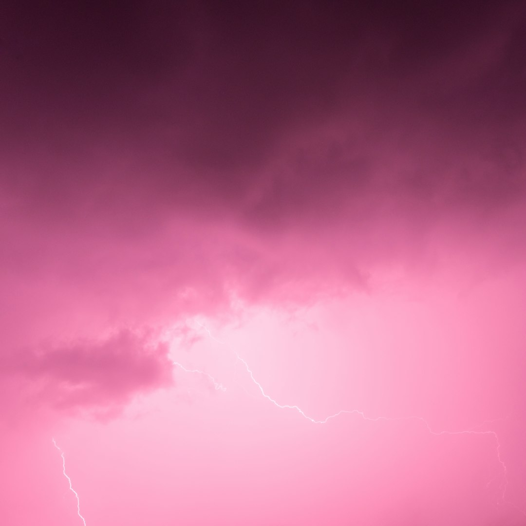
Minutes before a wall of weather arrives, the sky sometimes blushes with a dreamy pink that feels almost theatrical. It’s a striking calm-before-the-storm moment – and a real clue about what’s happening in the atmosphere. Scientists now see this color as a merger of optics and meteorology: light filtering through particles, cloud edges, and the precise geometry of sun and storm. The mystery is not whether the physics checks out, but what that pink actually reveals about timing, severity, and what might be riding the winds ahead. As forecasts get sharper and satellites see more, the old sky signal is finding a new role alongside radar and models.
The Hidden Clues

Pink skies often appear when the Sun sits low on the horizon and storms stack thick clouds in the opposite direction, leaving a narrow window for light to slip under the cloud deck. That low-angle light has traveled a longer path through the atmosphere, so the shorter blues and greens have been scattered away, leaving reds that wash the underside of clouds. When those reds mix with remnant sky blue or with thin veils of cloud, the result looks pink to our eyes. The scene is less a painting than a geometry problem: where the Sun sits, where the cloud base hangs, and how much haze is floating between.
I remember standing on a Midwestern ridge as a summer squall line rolled in, the sky turning bubble-gum pink like a neon warning. The breeze flipped warm to cool in seconds, and the birds went quiet, a natural chorus change that made the color feel louder. Moments later, the first distant growl of thunder clinched what the light had been saying all along.
The Physics of Pink: Scattering, Aerosols, and Angles
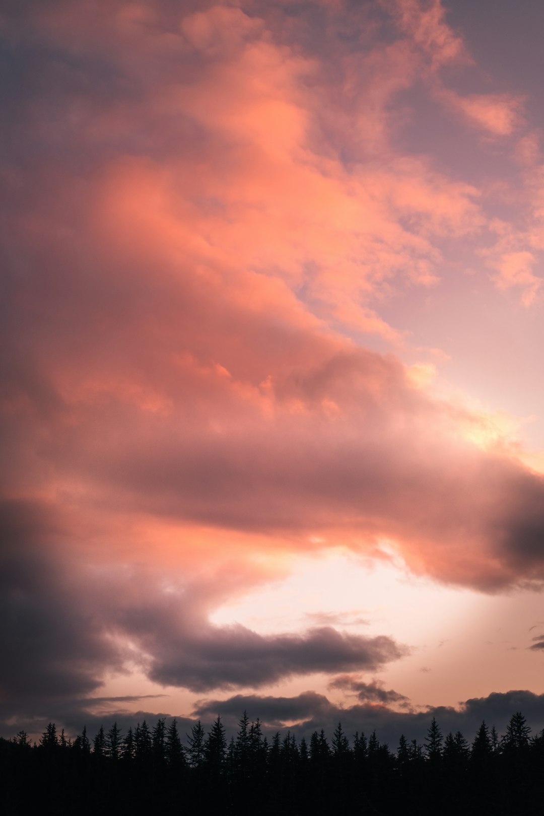
Pink is the product of scattering, mostly Rayleigh for small molecules and Mie for larger particles like haze, dust, smoke, and tiny water droplets. At sunset and sunrise, longer red wavelengths pass through more easily, while blues scatter out, which is why even clear evenings often run warm in color. Before a storm, the air can be loaded with moisture and aerosols swept in by converging winds, strengthening Mie scattering and softening the red into pink. The cloud base then acts like a giant screen, catching the reddened light from below and diffusing it outward.
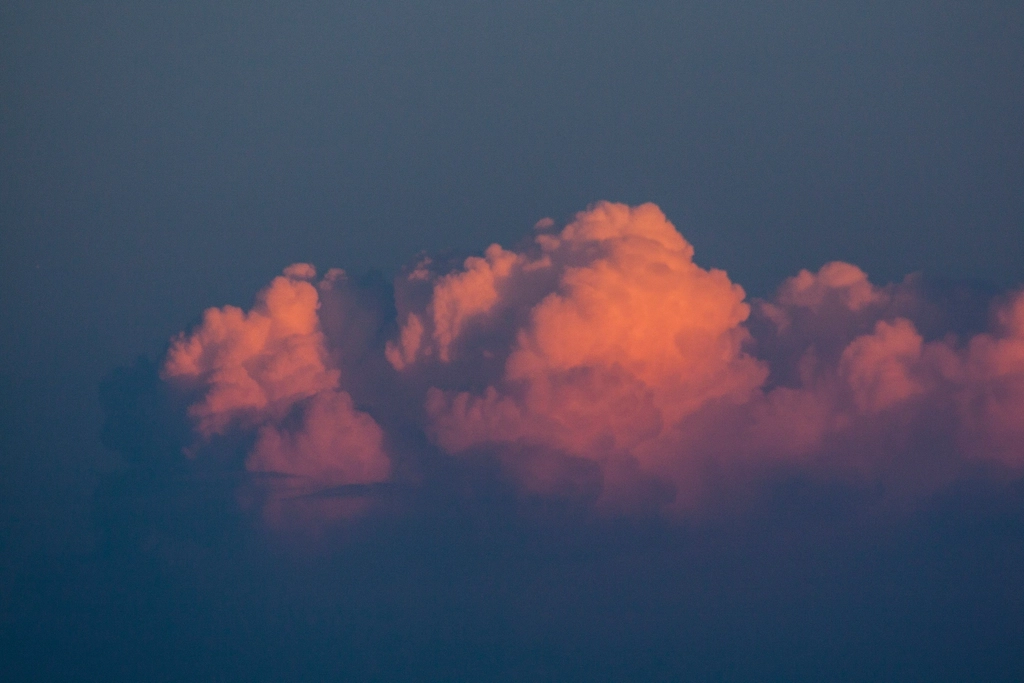
Angle matters just as much as content: a low Sun, a gap near the horizon, and a storm shield overhead create the perfect optical tunnel. Add rain curtains or virga trailing from high bases, and you get even more surfaces for forward-scattered light, deepening the rosy cast. It’s a collaboration between physics and weather structure, not a single magic ingredient.
From Ancient Tools to Modern Science
Long before satellites and Doppler radar, people watched sky color to guess what tomorrow might bring. The old rhyme about red morning skies signaling trouble reflects a genuine mid-latitude pattern: storms often approach from the west, so a reddish dawn can mean moisture and aerosols are already streaming in. Today’s science reframes that folk wisdom with optics and dynamics, linking color to air mass quality, cloud architecture, and the track of storm systems. The rhyme wasn’t wrong – it was just incomplete.
Modern instruments have made the picture sharper. All-sky cameras measure color channels in real time, ceilometers track cloud base heights, and lidars profile aerosols that help decide whether red tips toward pink or deep orange. The same physics that dazzles photographers also guides scientists checking humidity, particle size, and the shape of the storm’s leading edge.
The Storm’s Edge: What Pink Light Says About Timing and Severity
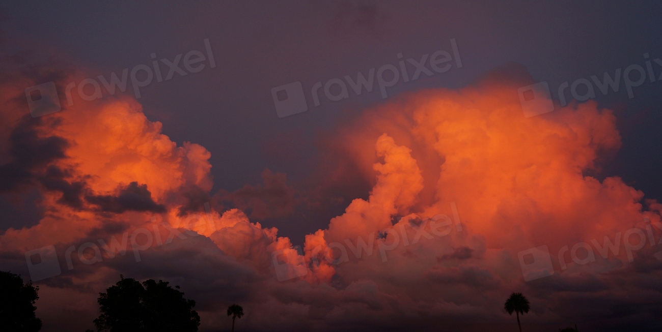
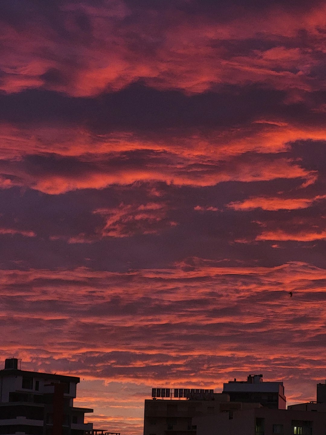
A pink canopy can signal that low-angle sunlight is threading beneath an advancing cloud shield, which often happens in the hour or so around sunrise or sunset as a system nears. It suggests moisture-rich air and a cloud base thick enough to project color – conditions that frequently precede heavier rain or gusty outflows. When the color leans toward salmon and spreads widely, it points to broad layers of mid and high cloud that favor soaking rains; sharper magentas along ragged edges can hint at towering growth and convective vigor. None of this is a forecast by itself, but it’s a telling preface.
Radar will still tell you whether hail or rotation is brewing, yet the sky’s tint offers context your phone app can’t. If the horizon glows pink while winds begin to veer and pressure subtly falls, you’re reading the opening chapter of the storm, not just its headline. Think of it as a visual nowcast – fast, local, and surprisingly informative.
Global Perspectives
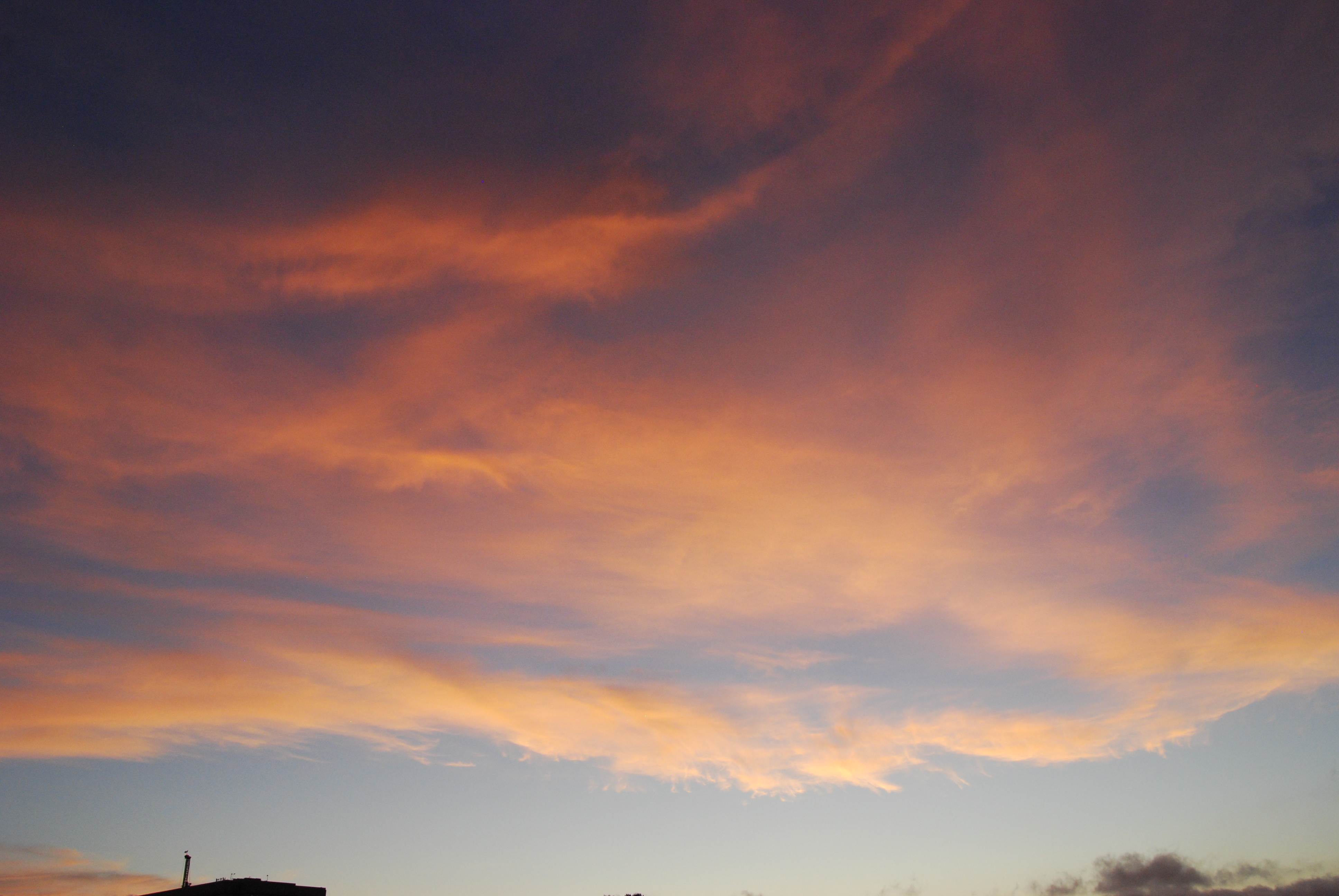
The palette shifts with geography. In humid tropics, high anvils and deep moisture can turn twilight clouds cotton-candy pink before monsoonal bursts, while maritime aerosols add a pearly sheen. Desert regions trade smoke or dust into the mix, producing vivid pinks and reds ahead of haboobs and thunderstorm outflows. Farther north, low Sun angles linger in summer evenings, increasing the odds of pink ceilings when frontal systems spread cirrus veils ahead of rain.
Urban corridors layer another twist: pollution aerosols can intensify and smooth the color, creating postcard sunsets that sometimes precede air-mass changes and thunderstorms. Wildfire smoke, which many communities have faced in recent years, supercharges scattering and can turn entire horizons rosy or coppery as storms gather. The same physics plays globally; only the ingredients on the palette change.
Why It Matters
Being visually literate about the sky turns color into a practical cue rather than a pretty coincidence. If you notice a broad pink undercast building beneath thickening clouds, it’s a hint to secure outdoor plans, check alerts, and think about drainage or travel time. For emergency managers and outdoor workers, color-aware situational awareness pairs nicely with radar loops and short-term models, adding another layer of safety. And for educators, pink skies are an accessible gateway to teach scattering, optics, and the structure of storms.
Compared with traditional methods – barometers, model soundings, and radar – color is fast, cost-free, and local, though it lacks precision. Treat it as you would a telltale breeze or the first scent of rain: a signal worth heeding while you verify with instruments. The payoff is immediate decisions made minutes sooner, when minutes still matter.
The Future Landscape
Next-generation satellites are giving scientists a richer read on the very particles that tint our skies. New missions focused on aerosols and clouds are mapping how particle sizes evolve ahead of storms, helping models simulate how light will interact with storm shields at twilight. Ground networks of sky cameras and radiometers are feeding machine-learning systems that nowcast cloud thickness and optical depth from color alone. Even smartphone photos, when geotagged and time-stamped, can be mined to estimate haze loads and cloud-base illumination.
As urban air policies shift and wildfire seasons change, the mix of aerosols that turn skies pink will change, too. Expect more precise nowcasts that fuse color signals with radar, lightning networks, and high-resolution models, producing street-level guidance that feels almost conversational. The romance of a pink sky won’t fade, but its meaning will get clearer – and more actionable.
Global Light, Local Decisions

Color may look universal, yet its message is intensely local. A pink lid over the High Plains might suggest a fast-approaching squall line, while the same hue over a coastal city could hint at layered stratus and a soaking night ahead. The through-line is geometry and particles, filtered by regional climate and the season’s aerosol recipe. Learning how your own horizon behaves turns a broad principle into a neighborhood skill.
I keep a mental notebook of when and where pink shows up at home – over the river at late summer, over rooftops in early spring – and how the weather breaks afterward. Patterns emerge quickly once you start paying attention. The sky starts to feel less mysterious and more like a conversation you’ve learned to follow.
Conclusion
Make sky-watching a habit: next time the horizon goes pink under deepening clouds, pause and note the wind, humidity, and how the color spreads. Snap a photo with time and location, then compare your impressions with short-term radar and official forecasts afterward. Share these observations with local weather spotter groups or community science projects, which often welcome simple, systematic notes. If you can, support programs that maintain air-quality monitors and sky cameras in your area; those data turn color into clarity for everyone.
Most of all, treat pink skies as both wonder and warning – something to savor, and something to prepare by. What will your next pink horizon be telling you?

Suhail Ahmed is a passionate digital professional and nature enthusiast with over 8 years of experience in content strategy, SEO, web development, and digital operations. Alongside his freelance journey, Suhail actively contributes to nature and wildlife platforms like Discover Wildlife, where he channels his curiosity for the planet into engaging, educational storytelling.
With a strong background in managing digital ecosystems — from ecommerce stores and WordPress websites to social media and automation — Suhail merges technical precision with creative insight. His content reflects a rare balance: SEO-friendly yet deeply human, data-informed yet emotionally resonant.
Driven by a love for discovery and storytelling, Suhail believes in using digital platforms to amplify causes that matter — especially those protecting Earth’s biodiversity and inspiring sustainable living. Whether he’s managing online projects or crafting wildlife content, his goal remains the same: to inform, inspire, and leave a positive digital footprint.