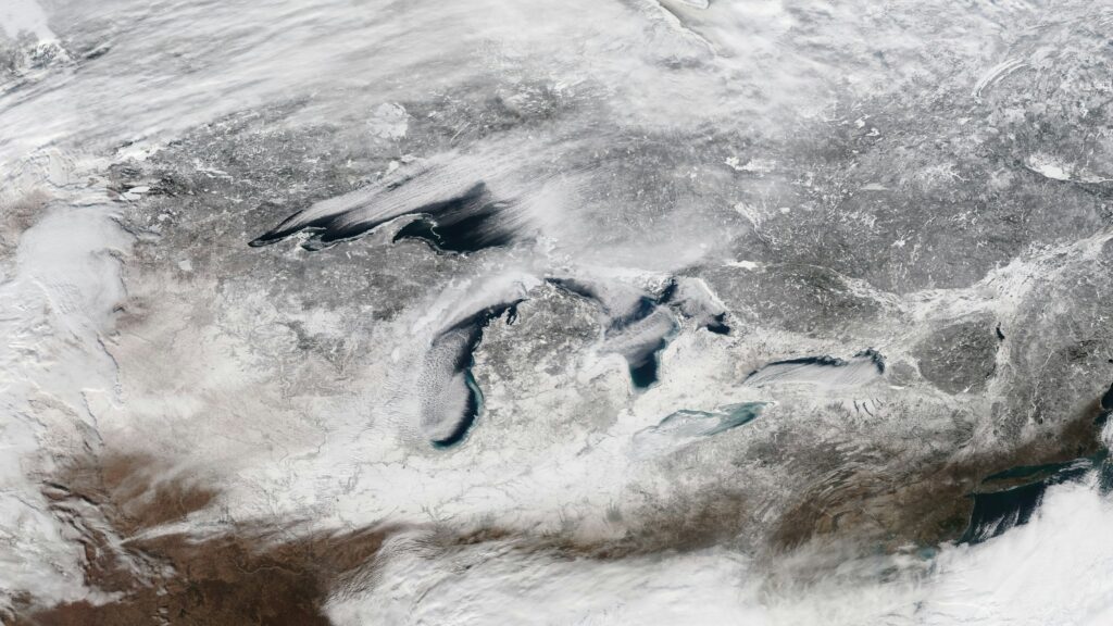
If you could rewind the clock a couple million years and fly over what is now region, you wouldn’t see water at all. You’d be staring at a slow‑moving, grinding ocean of ice taller than most city skyscrapers, quietly bulldozing its way across the continent. It is hard to believe that today’s beaches, islands, and deep blue basins were carved not by rivers or oceans, but by frozen water creeping a few inches a day.
The story of is basically a long, dramatic breakup between North America and the last Ice Age. The lakes we kayak on, ship through, and vacation beside are scars left behind by glaciers, reshaped again and again as the ice advanced and melted. Let’s walk through eight powerful ways that ice sculpted this freshwater giant, and why the fingerprints of those ancient glaciers still shape how we live, work, and play around the lakes today.
1. Carving Deep Basins Beneath Moving Ice
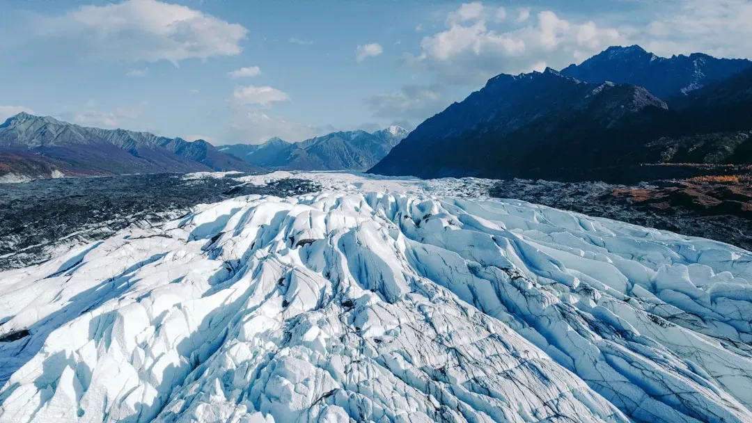
Imagine a sheet of ice more than a kilometer thick sitting on the landscape, pressing down with the weight of countless skyscrapers stacked on top of each other. That was the Laurentide Ice Sheet, the monster glacier that repeatedly covered what is now region during the last couple million years. As it flowed, the ice acted like a massive sheet of sandpaper, scraping and gouging the underlying rock, especially where it was softer or already fractured.
Over many cycles of advance and retreat, this relentless grinding carved out deep troughs in the bedrock that would eventually become basins. Some lake floors today lie far below sea level, even though the water surface is still above it, because glaciers scooped so aggressively. To me, that is one of the wildest ideas: the lakes are not just filled valleys, they are over‑deepened scars, dug far deeper than regular rivers or erosion alone could ever manage.
2. Exploiting Weak Rock and Old Geological Faults
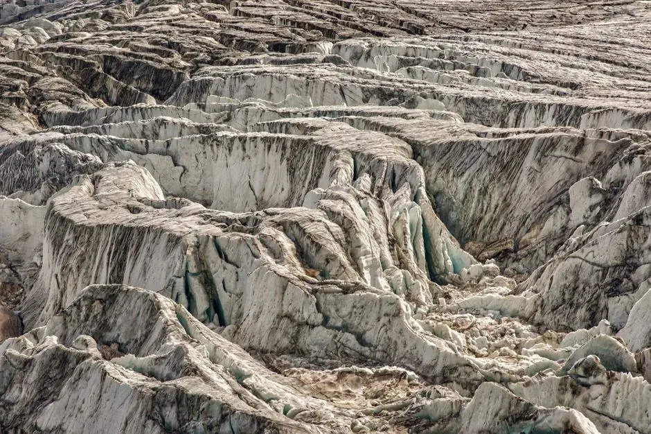
Glaciers do not carve randomly; they are opportunists. When the Laurentide Ice Sheet spread southward, it took advantage of rock that was already weak, cracked, or layered, especially sedimentary rocks like limestone and shale that erode more easily than hard crystalline rocks. Over long stretches of time, ice and meltwater plucked and quarried these weaker layers, widening and deepening pre‑existing low spots.
This is why several of follow older geological structures and valleys that existed long before the Ice Age. In a way, the glaciers were editors, not original authors, exaggerating the punctuation in Earth’s ancient bedrock story. If you trace the curvature of the lakes on a map, you are basically seeing where the ice found the easiest paths to tear the continent open just a little bit more.
3. Filling and Re‑Flooding with Glacial Meltwater
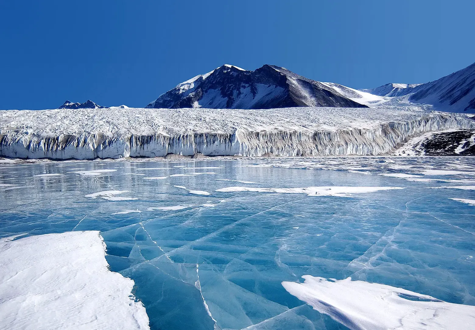
Once the ice began to melt back, the big carved basins did not instantly become we know today. At first, they turned into shifting, temporary proglacial lakes: bodies of water that formed along the melting ice front, dammed by remaining ice walls, ridges of debris, or higher land to the south. These lakes rose, spilled over, drained, and re‑formed at new levels as the ice retreated northward and the land slowly rebounded.
Over thousands of years, meltwater repeatedly flooded and emptied some of these basins like a messy series of construction phases. River outlets changed location, shorelines moved, and sometimes enormous pulses of freshwater rushed out toward the Atlantic Ocean. The modern Great Lakes are the final, relatively stable version of this watery game of musical chairs, left after the ice vanished and the land and water finally negotiated a long‑term balance.
4. Leaving Behind Moraines That Act as Natural Dams
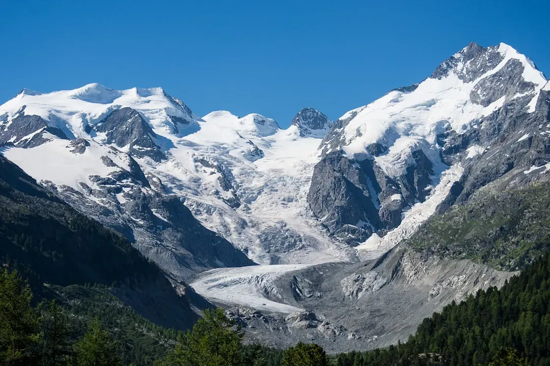
Glaciers rarely leave quietly; they drop their luggage everywhere. As the Laurentide Ice Sheet melted, it dumped huge piles of rock, gravel, and sediment it had scraped up along the way. These ridges of glacial debris, known as moraines, can be thought of as giant natural dams or speed bumps around the margins of basins. In many places, moraines helped trap water in low areas that otherwise might have drained away more completely.
Some of the key outlets and boundaries of the modern lakes are controlled by these moraine ridges sitting at low points between deeper basins. They shape where water flows out, which basins connect, and even which way rivers run. Next time you see a long, curving ridge in the landscape around the lakes, there is a good chance it is an old glacial pileup quietly controlling the plumbing of an entire region.
5. Sculpting Shorelines, Cliffs, and Sandy Beaches
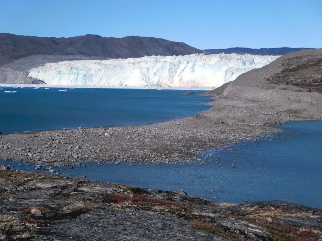
The dramatic shorelines of are another chapter in the ice story. When glaciers retreated, they left behind not only deep basins but also thick blankets of sand, gravel, and clay in different layers. Waves and currents have been rearranging that glacial sediment ever since, chewing away at soft materials to build beaches and dunes, while leaving behind harder headlands and cliffs.
Features like high bluffs, lakeside dunes, and even some of the most beloved sandy beaches are all built from the raw ingredients glaciers dropped off. Without that glacial baggage, the shorelines would be much rockier, lower, and less varied. I always think of it like a kid dumping out a toy box along the water’s edge; over time, the waves sort through the mess, but the variety is there only because the ice left such a mixed load of material behind in the first place.
6. Creating Islands, Peninsulas, and Narrow Straits
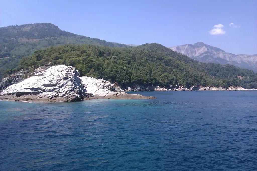
One of the most underrated gifts of the glaciers is the complex puzzle of islands and peninsulas that break up . As ice advanced and retreated, it carved some areas more deeply than others, sometimes leaving behind higher blocks of rock that stood above the future lake surface. In other places, thick piles of glacial deposits created raised ground that would later become peninsulas sticking out into the water.
The result is a landscape full of narrow straits, sheltered bays, and chains of islands that feel almost like a freshwater archipelago. These pinched and twisted connections between the lakes influence everything from shipping routes to local microclimates. If the glaciers had carved more evenly, might look like a series of simple bowls instead of the intricate, island‑studded system we navigate today.
7. Depressing the Crust and Rebounding the Land
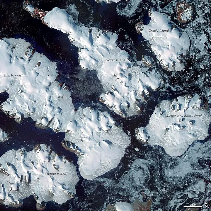
Ice did not just scrape the surface; it actually bent the continent. The sheer weight of the Laurentide Ice Sheet pushed down the Earth’s crust beneath region, like a person sitting on a couch cushion. When the ice melted, the land started to slowly spring back up in a process called isostatic rebound, which is still happening today in subtle ways.
This slow flexing of the land has changed where shorelines sit over thousands of years, raising some areas and tilting others, which in turn altered how water flows and where wetlands and bays form. That means the map of has never been truly fixed; it has been gently warping and adjusting since the ice left. It is humbling to realize that even now, long after the glaciers have gone, their weight is still echoing through the shape of the coastline and the tilt of the basins.
8. Engineering Today’s Climate, Ecosystems, and Human Life Around the Lakes
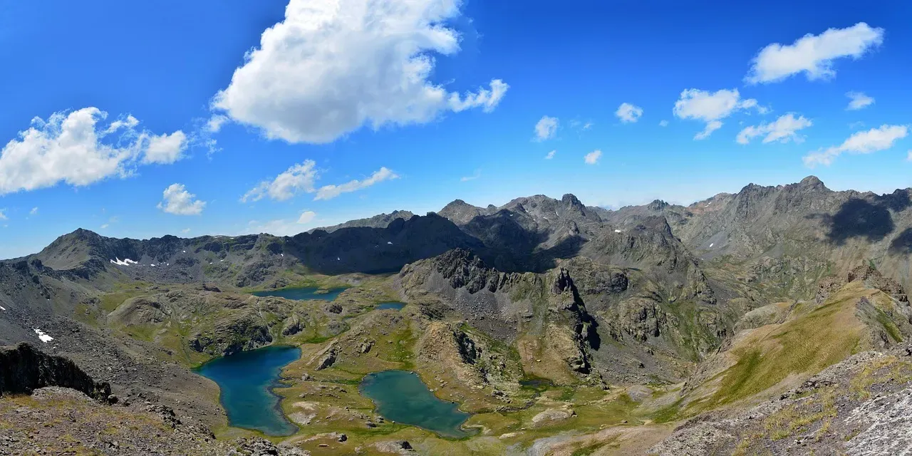
Finally, ice did not just shape the land; it wrote the script for almost everything that happens around today. Those deep, cold basins store tremendous amounts of freshwater, moderating temperatures along the coasts, extending growing seasons in some places, and fueling heavy lake‑effect snow in others. The unique mix of depths, shorelines, and water connections that glaciers created supports a huge diversity of habitats, from coastal wetlands to rocky reefs and towering dunes.
On top of that, human history in the region is layered right onto these glacial foundations. Indigenous trade routes, shipping lanes, industrial ports, and modern tourism all follow paths made possible by the way ice carved, dammed, and flooded the landscape. In my view, it is impossible to talk honestly about economy, culture, or identity without admitting that we are all basically tenants living in a house designed by the last Ice Age.
Conclusion: Why Are Really Ice Age Time Capsules
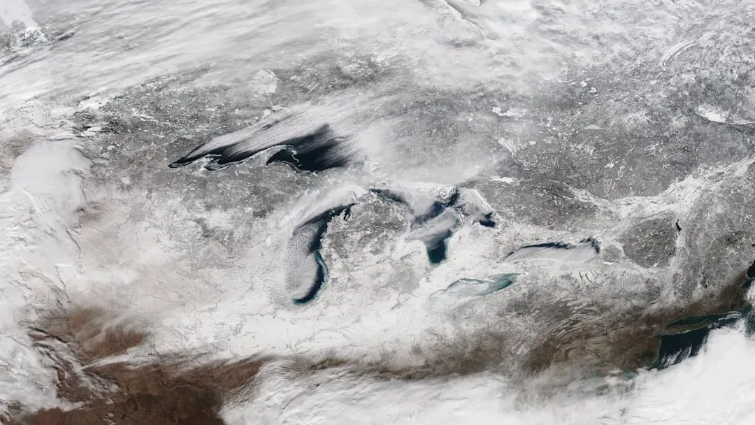
When you zoom out, are less a collection of pretty water bodies and more a frozen chapter of Earth’s story, thawed just enough for us to move in. Every deep basin, sandy beach, island chain, and shifting shoreline traces back to decisions made by ice: where it pressed hardest, where it melted, where it dropped its load, and how the land sagged and rebounded under its weight. I think we tend to see the lakes as timeless, but in reality they are dynamic leftovers from a climate system that was wildly different from today’s.
That perspective matters, especially as our own climate warms and ice once again becomes a central character, not through massive glaciers here, but through shrinking winter ice cover and changing snowfall patterns. The same forces that once gave us this freshwater treasure are now shifting in ways that could reshape the region all over again, just on human time scales instead of geological ones. Next time you stand on a Great Lakes shore, maybe ask yourself: if ice could do all of this before, what story might it be starting to write now?