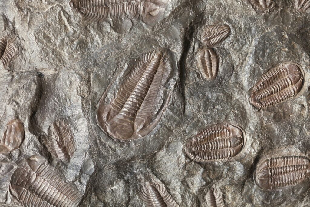

You stand on a windy Rocky Mountain ridge, more than two miles above sea level, and at your feet you spot something that looks suspiciously like a seashell pressed into stone. It feels almost wrong, like finding a starfish in the middle of a desert. Yet you really are looking at the remains of an ancient ocean, frozen in rock and lifted toward the sky. Once you know what to look for, you start to see the same story repeated across the Rockies: layers of limestone, ripples of old sea floors, and delicate marine fossils that have no business being this high up. When you dig into why they are there, you discover a tale of shifting continents, vanishing oceans, and rocks that refuse to stay put.
1. The Rockies Were Once at the Bottom of Shallow Seas
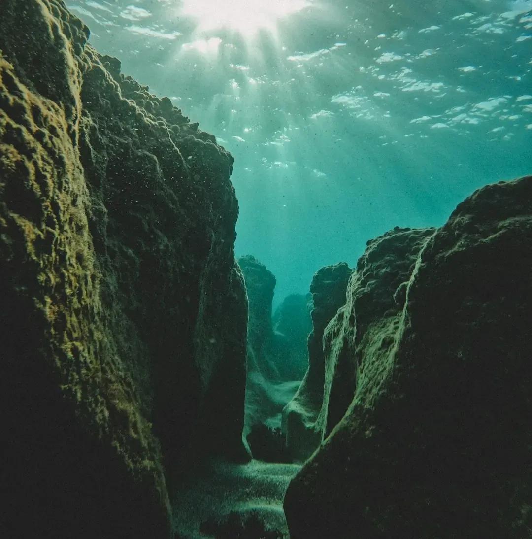
It is hard to picture, but if you could rewind time hundreds of millions of years, you would not see towering peaks where the Rockies now stand. Instead, you would be paddling through warm, shallow seas that covered much of what is now western North America. Those seas were a bit like today’s Bahamas or Great Barrier Reef shelf: sunlit, relatively calm, and packed with marine life. In those ancient waters, countless shells, corals, and tiny marine creatures lived and died, leaving their hard parts to settle on the seafloor. Over long stretches of time, these remains piled up into thick blankets of mud and limey ooze. You are not just finding random shells in the Rockies; you are standing on old sea bottoms that later got turned into rock and lifted up where you can hike across them.
2. Sediments Turned to Rock Preserve Ancient Sea Life
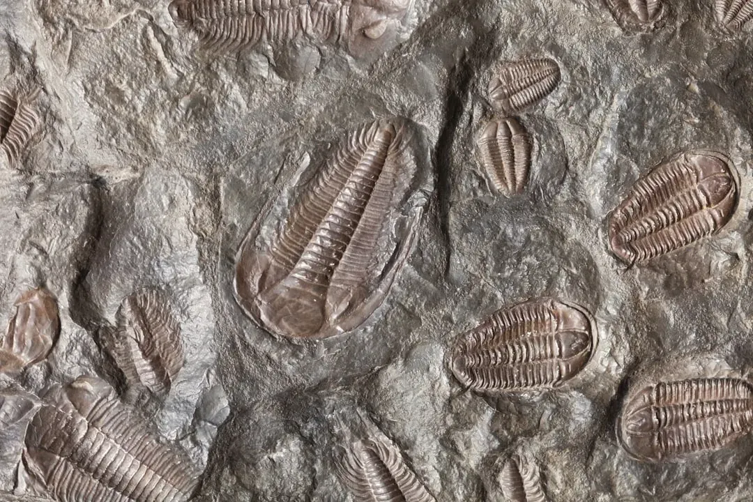
When you look at a marine fossil in the Rockies, what you are really seeing is a clever kind of natural storage system. As those ancient shells and skeletons settled to the seafloor, they got buried by more mud, sand, and chemical deposits from seawater. The deeper they were buried, the more pressure and chemical changes they experienced, slowly turning soft sediment into solid rock like limestone, shale, or sandstone. This transformation locked the shapes of those organisms in place. You might see the spiral of a snail-like creature, the fan of a brachiopod, or the honeycomb pattern of a coral, all preserved in stone because sediment wrapped them up before they could completely decay. Over time, entire layers tens or even hundreds of meters thick became fossil-rich rock formations, essentially turning an ancient ocean ecosystem into a geological time capsule that you now find near mountain summits.
3. Plate Tectonics Pushed Old Seafloors Toward the Sky
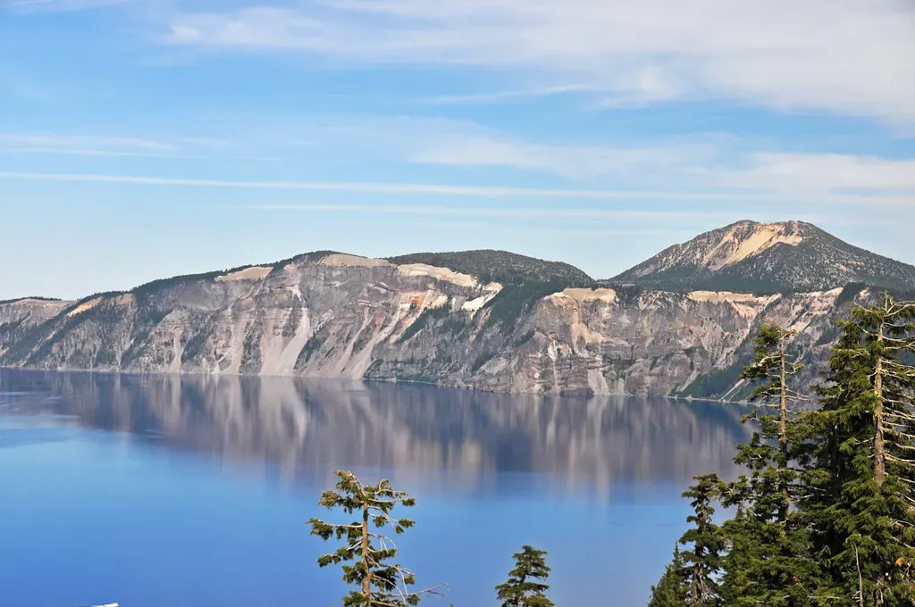
You can thank plate tectonics for the bizarre experience of seeing seashells above the tree line. Earth’s outer shell is broken into huge plates that move slowly, like rafts on a hot, gooey mantle. For tens of millions of years, an oceanic plate to the west was sliding underneath the edge of the North American plate, a process called subduction. That slow-motion collision crumpled, stacked, and shoved the crust, setting the stage for the Rockies to rise. Imagine pushing a rug across a floor: the rug bunches up and folds as you shove it. Something similar happened to the rocks that had once formed sea floors and coastal plains. Large slabs were pushed inland and upward, folding and faulting into a mountain belt. You might stand on a fossil-rich limestone layer that started out near sea level, then was tilted, bent, and hoisted thousands of meters higher by those relentless plate movements.
4. Uplift During the Laramide Orogeny Raised Marine Rocks
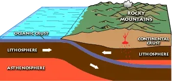
If you really want to get specific about why those marine rocks sit high in the Rockies, you run into a geologic chapter called the Laramide orogeny. Between roughly the Late Cretaceous and early Cenozoic eras, unusual plate interactions caused blocks of the crust in the interior of western North America to be pushed upward over huge distances. Instead of only building a narrow mountain chain at the coast, the stresses reached far inland. This style of deformation meant that older rock layers, including those that had formed on ancient sea floors, were lifted as relatively intact slabs. When you see flat-lying or gently tilted marine rocks perched at high elevations in parts of the Rockies, you are seeing the legacy of that uplift. It is as if someone picked up a stack of books from a table and set them on top of a tall shelf, without completely messing up the order of the pages inside.
5. Erosion Stripped Away Overlying Layers and Exposed Fossils
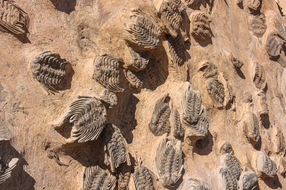
Even after rocks are pushed up into mountains, you would not see many fossils right away if thick piles of other rock were still lying on top of them. That is where erosion comes in. Once uplifted, the Rockies were attacked by water, ice, and wind, which steadily carved valleys, shaped ridges, and removed vast amounts of material. Over millions of years, rivers cut down like saws, glaciers scraped like giant chisels, and weather slowly broke exposed rocks apart. As higher layers eroded away, deeper marine formations were gradually brought to the surface and left visible on cliff faces, ridges, and high plateaus. You end up in a strange situation: erosion, which you might think of as destructive, actually helps you. It uncovers those fossil-bearing rocks and puts them right at your boots, so you can walk across ancient seafloors that used to be buried under kilometers of crust.
6. Sea Levels Rose and Fell, Leaving Stacked Marine Layers
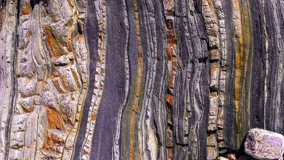
If you slice down through the Rockies in your imagination, you often see a layered cake of different rock types. Some layers formed in marine environments, others on river plains or deserts. These stacked records exist because, over geologic time, sea levels rose and fell and the land surface itself subtly shifted up and down. When seas flooded in, marine sediments were laid down; when seas retreated, different environments took over. This back-and-forth created multiple marine episodes layered one above another, like several old beaches piled into the same area at different times. When tectonic forces later uplifted the region and erosion sliced into the stack, you ended up with marine fossils at various heights and angles. That is why you might find a marine layer above a terrestrial layer, then another marine layer on top of that – it reflects a long, complicated dance between ocean water and land surface, not just one single ancient sea.
7. You Are Reading a Moving, Tilted Archive of Deep Time
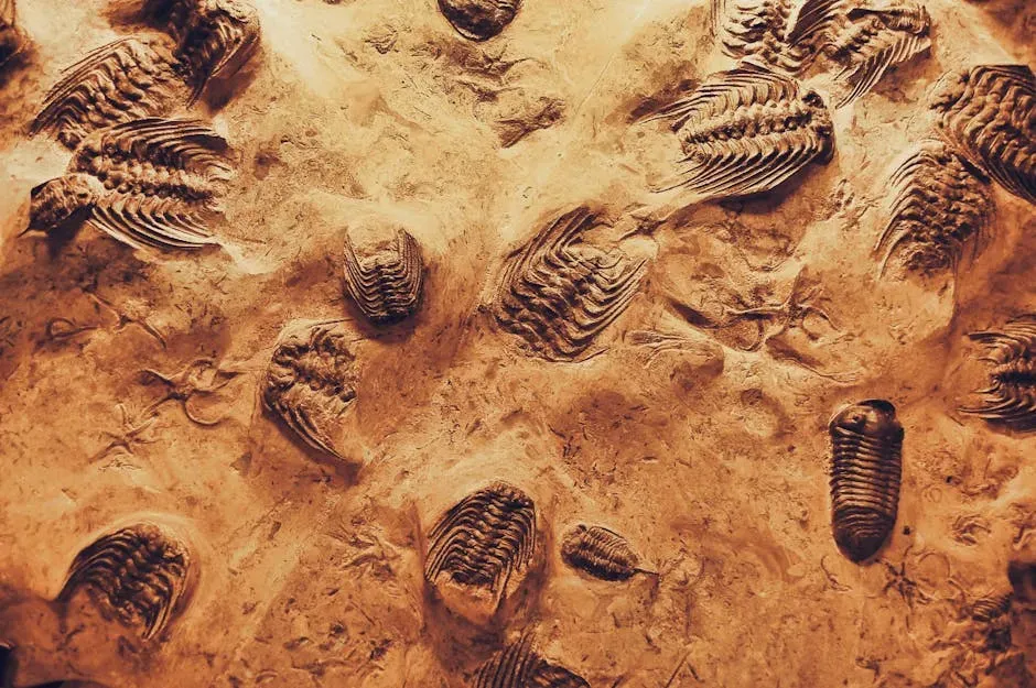
When you find marine fossils high in the Rockies, you are not just spotting curiosities; you are reading pages from a book that has been folded, bent, and carried around the planet. Those fossil-bearing layers are part of a moving archive: sediments that settled quietly under ancient waves, then were hardened, shoved, tilted, and finally shaved open by erosion. You are basically looking at a time-lapse of Earth’s history frozen into stone. This perspective changes how you see a mountain view. Instead of just admiring a scenic skyline, you start recognizing clues: bands of pale limestone that hint at old seas, twisted layers that reveal tectonic violence, and fossil shells that prove ocean life once flourished where you now gasp for breath in thin air. Every shell in the Rockies makes the same quiet claim: the ground beneath your feet has been many places and worn many faces before you ever set foot there.
Conclusion: Mountains Remember Oceans
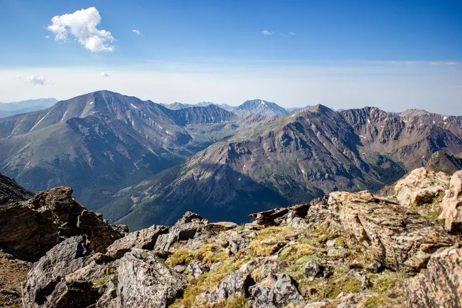
The idea that you can hike on an old ocean floor is one of those facts that never really stops feeling amazing. Marine fossils in the Rockies are not a mystery once you walk through the story: ancient seas spread across the region, sediments buried and preserved the creatures that lived in them, plate tectonics built mountains from those layers, and erosion peeled them open for you to discover. What looks like a contradiction – seashells on mountaintops – ends up being powerful evidence that Earth’s surface is anything but static. Next time you are on a Rocky Mountain trail and spot what looks like a shell or coral in a chunk of limestone, you can mentally rewind the clock and picture yourself underwater, standing where fish once swam. You are not just seeing a rock; you are shaking hands with a very different version of this same place. Knowing that, how can you look at any mountain the same way again?