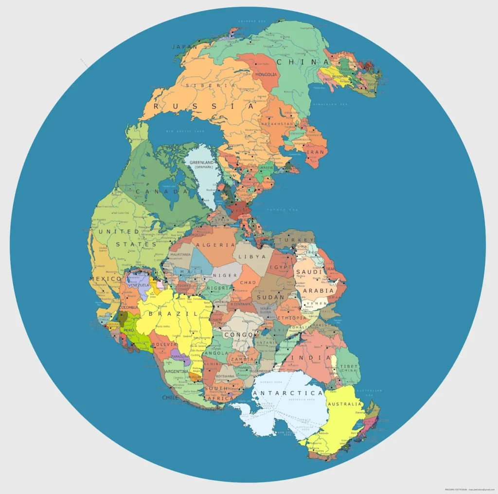
Pull out an old world map and you’ll notice something quietly unsettling: coastlines that no longer exist, ports that are now shipwreck dives, and cities that have slipped beneath the waves. It feels almost like looking at a parallel Earth, one where the ocean stopped just a little bit sooner and human history unfolded on land we can only visit with scuba tanks and sonar.
What makes this even more fascinating is that many of these lost coasts are not fantasy at all. They were real places, drawn and re‑drawn by cartographers for centuries, now erased by rising seas, land subsidence, storms, and time. Let’s walk along fourteen of these “ghost shorelines” that still appear on ancient maps, even though the modern coastline has moved on without them.
#1 Doggerland – The “Atlantis” of the North Sea
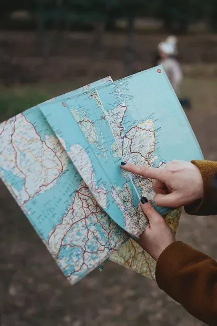
If you could drain the North Sea like a bathtub, you’d reveal one of the most haunting landscapes in Europe: Doggerland, a once‑vast lowland that connected Britain to mainland Europe. On ancient and medieval maps, that gap between England and Denmark is often just a narrow channel, not the wide expanse of water we know today, because people remembered (and later inferred) that this was once a place of rivers, forests, and human settlement.
Archaeologists have dredged up bone tools, mammoth remains, and traces of ancient camps from fishing nets and oil platforms, confirming that this was not just a theoretical land bridge but a lived‑in world. As sea levels rose after the last Ice Age, this landscape flooded bit by bit, with catastrophic storm surges finishing the job. I always think of Doggerland as Europe’s quiet, real‑world Atlantis: not a mythical city of crystal towers, just ordinary communities slowly swallowed by a relentless tide.
#2 Port Royal, Jamaica – The Sunken Pirate City
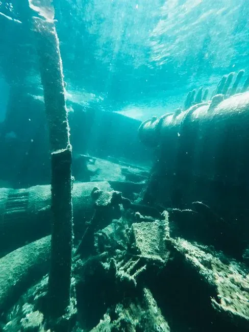
Old nautical charts of Jamaica’s southeastern coast show a bustling harbor settlement at the tip of a narrow spit: Port Royal, once infamous as the “wickedest city in the world.” Today, if you overlay those charts on a modern satellite image, part of that neat little grid of streets is missing, replaced by blue water that hides collapsed buildings, streets, and artifacts.
In the late seventeenth century, a massive earthquake and tsunami shattered the sandy peninsula, and large portions of the town liquefied and slid into the sea within minutes. Divers can still swim past doorways, pottery, and even preserved wooden structures on the seafloor. It’s surreal to imagine how, on paper, the old maps still confidently mark a shoreline that, in reality, sank in a single terrifying morning.
#3 Heracleion and Eastern Canopic Coast, Egypt
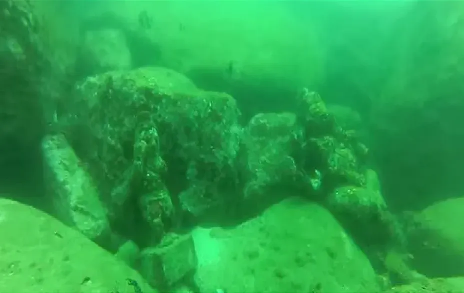
Early maps of the Nile Delta sometimes show river mouths and harbors that puzzled modern historians, including places like Heracleion and the Canopic mouth of the Nile. For a long time, these names felt half‑mythical, scattered around in ancient texts and medieval map margins like rumors from another age. Then underwater archaeologists actually found them.
Off the present‑day coast, divers discovered monumental statues, temple ruins, and stone quays lying on the seabed where the ancient Canopic branch once met the Mediterranean. Over centuries, the delta subsided and the sea rose, inundating this low‑lying coastal world. The wild thing for me is that the older the map, the more detailed that drowned coastline sometimes is, as if the cartographers were holding on to a shoreline that nature was already trying to erase.
#4 Pavlopetri, Greece – A Bronze Age Harbor Now Below the Waves
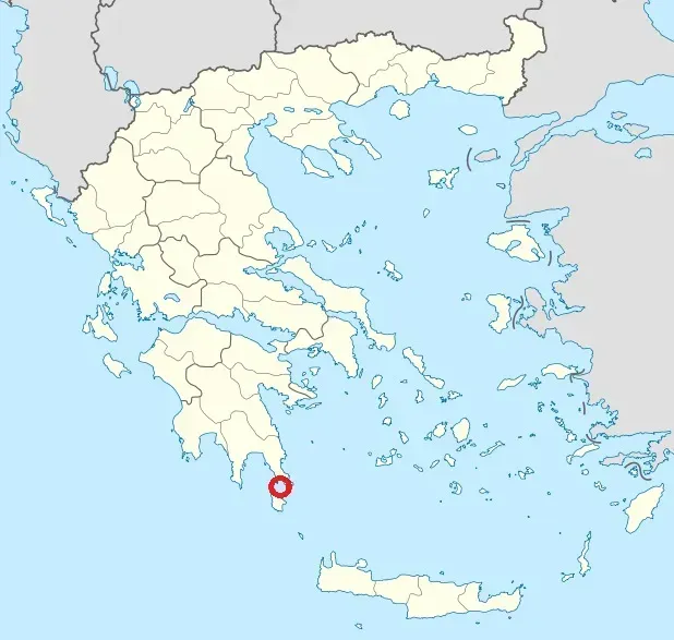
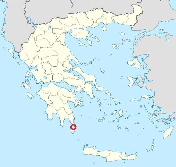
Ancient Greek coastal maps often hint at ports and anchorages that seem oddly far inland if you compare them to a modern atlas. One of the most striking examples hides off the coast of Laconia in southern Greece: Pavlopetri, a Bronze Age settlement now submerged just a few meters underwater. For centuries, sailors and locals knew there were “ruins in the shallows,” but maps still showed the general outline of an older, closer shoreline.
Pavlopetri’s preserved streets, building foundations, and courtyards show that this was a proper harbor town, not just a stray village. Gradual sea‑level rise, combined with local land subsidence, turned what was once coastal real estate into a shallow diving site. When I see old regional maps with coastal notes that no longer line up with today’s beaches, I can’t help but imagine a whole chain of Pavlopetri‑like towns hiding just offshore.
#5 Alexandria’s Royal Quarter and the Sunken Palaces
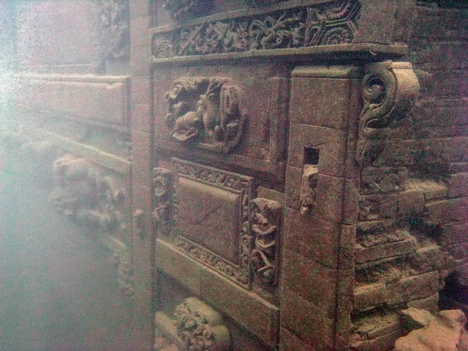
Historical maps of Alexandria, Egypt, often depict a proud, elongated peninsula and a carefully drawn harbor complex reaching into the Mediterranean. Today, if you stand on the modern shoreline, much of that stylized peninsula exists only on paper and in the stories of ancient writers. Under the waves lie remnants of palaces, colonnades, and harbor works associated with the city’s royal quarter.
Earthquakes, tsunamis, and slow subsidence transformed parts of this once‑iconic waterfront into underwater ruins. What I find especially eerie is how mapmakers kept sketching the same protruding landforms and port basins long after nature had reshaped them, as if cartography was reluctant to admit that even flagship cities can literally lose ground to the sea.
#6 Portus Pisanus and the Lost Coast of Pisa, Italy
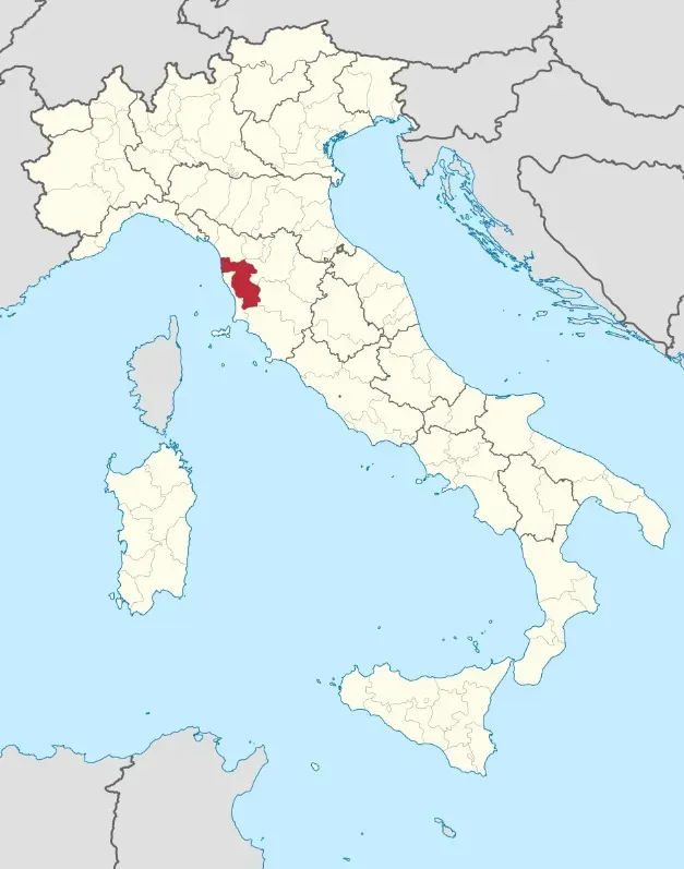
Look at medieval maps of Italy and you’ll see Pisa drawn as a maritime power with direct access to the sea and a well‑marked harbor: Portus Pisanus. On a modern map, though, Pisa sits noticeably inland, and that old coastal harbor site is no longer on the water’s edge. Over time, river sediments and shifting shorelines pushed the coastline outward, marooning what used to be a vital port.
Archaeological work and geomorphological studies have identified ancient harbor structures and lagoonal environments now buried under fields and wetlands. I love this example because it flips the usual story: instead of the sea rising over land, the land extended outward, leaving the port stranded. Yet on many old maps, the coastline stubbornly hugs Pisa, a cartographic fossil of a maritime era that silt and sand quietly ended.
#7 The Medieval Ports of the English Wash
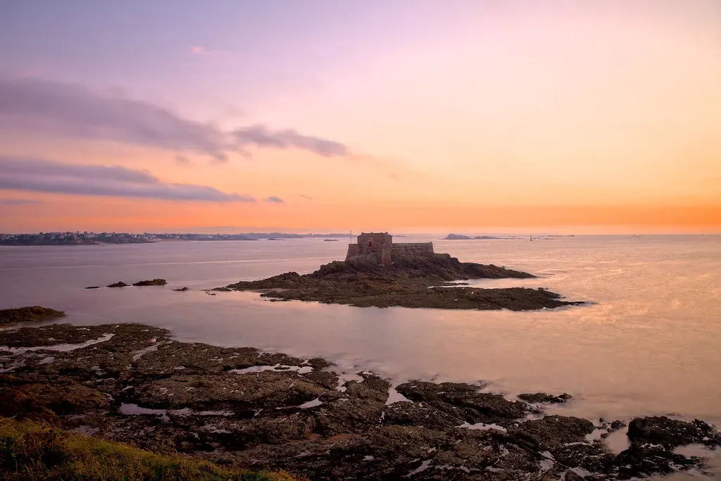
Early charts of eastern England’s Wash estuary show busy ports and deeper inlets that would confuse any modern sailor. Places that were once on the shoreline, or even well‑used harbors, are now many kilometers from the sea, with modern salt marshes and mudflats taking their place. Conversely, other areas that were once dry lowlands have been claimed by tidal waters.
Land reclamation, sedimentation, storm surges, and gradual sea‑level rise constantly redrew this coast, but maps never fully caught up in real time. The result is that some medieval and early modern maps show a very different sea boundary, with towns that effectively shifted from coastal to inland status over a few centuries. It’s a quiet reminder that even within recorded history, coastlines can creep surprisingly far.
#8 The Vanished Coasts of the Sundarbans and Bengal Delta
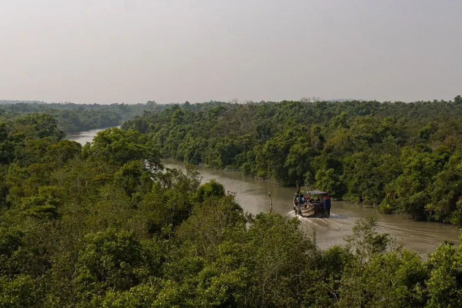
Old trade maps of the Bay of Bengal and the Ganges‑Brahmaputra delta are cluttered with islands, sandbars, and narrow coastal channels that no longer match satellite images. Some river mouths have migrated, others have widened or shifted, and certain low‑lying coastal settlements shown on older charts are now underwater or eroded away entirely. To modern eyes, those ancient outlines look almost like a different planet.
This region is naturally restless: rivers dump huge amounts of sediment, storms rearrange shorelines, and sea‑level rise now adds another slow, implacable pressure. In my view, the Bengal delta is one of the best real‑world examples of why taking old coastal maps literally is risky. They are snapshots of a shifting puzzle, where some of the pieces are now lying just below the muddy waves.
#9 The Drowned Stone Age Coasts of the Baltic Sea
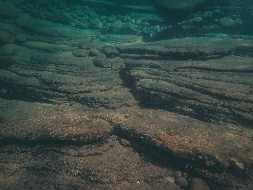
Pre‑modern maps of the Baltic often hint at broader coastlines and islands that don’t quite match modern charts, especially when you compare them with what archaeologists are now finding on the seabed. Submerged Stone Age settlements, ancient fishing camps, and former shorelines have been discovered beneath relatively shallow waters in places like the Swedish and Danish coasts.
After the last Ice Age, the Baltic shoreline danced up and down due to a mix of global sea‑level rise and the land itself rebounding or sinking. Some stretches that were once dry and habitable are now quiet underwater platforms, mapped only by sonar and underwater surveys. When I see an old Baltic coastline drawn just a bit too far out, I don’t see an error so much as a hazy memory of a land‑sea boundary that used to lie elsewhere.
#10 The Sunken Quays of Venice’s Earliest Lagoon Settlements
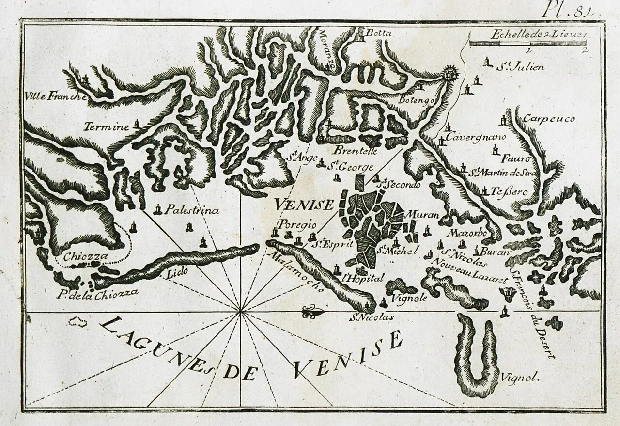
Historical maps of the Venetian lagoon often depict islands and channels that are still there today, but they also suggest a slightly different balance between land and water. Archaeology has revealed that some early lagoon settlements and quays now lie below present sea level, tucked into mud layers or resting on the lagoon floor. In effect, parts of Venice’s original coastal fabric have slipped beneath the modern waterline.
Subsidence, driven by natural processes and human activity, along with rising sea levels, has gradually pushed the lagoon’s water higher against stone foundations and timber piles. The Venice tourists see is already a shrunken, elevated remnant of a once more extensive lagoon landscape that early maps treated as stable. To me, Venice feels like a live demonstration of how coastal towns slowly test the limits of what seawalls and ingenuity can hold back.
#11 Ancient Harbors of the Levantine Coast
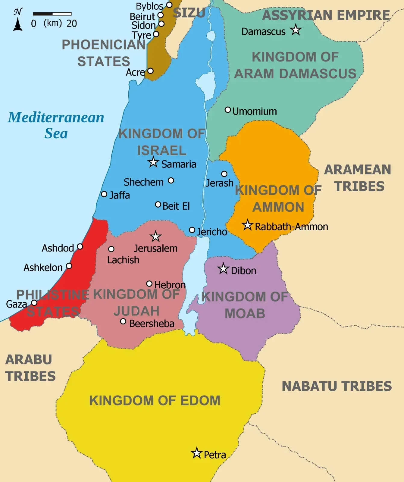
Look at older maps of the eastern Mediterranean – from the Levant down toward modern Israel, Lebanon, and Syria – and you’ll notice neat semicircles and piers marking harbors that no longer line up perfectly with today’s shore. In several of these locations, archaeologists have found submerged breakwaters, quays, and artificial basins sitting a few meters under water, clear evidence that the coastline has moved.
Long‑term sea‑level rise, tectonic shifts, and coastal erosion together pushed the waterline inland, drowning sections of ports that once thrived with trade. Modern harbors sometimes sit right next to their drowned ancestors, sharing the same bay but not the same shoreline. When old maps give these extinct piers equal billing with today’s coast, it’s like they are insisting that yesterday’s sea gate is still open for business.
#12 The Submerged City Structures off Yonaguni, Japan (and the Debate)
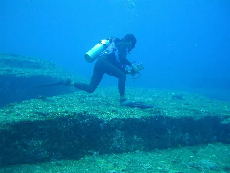
Older regional maps around Japan’s southwestern islands sometimes show coastal outlines and shallows that have become famous in modern times for another reason: the Yonaguni underwater formations. Off the coast lies a set of stepped, terrace‑like stone structures that some people argue are the remnants of a man‑modified site on a former coastal area, while others see them as entirely natural rock formations.
What’s clear, regardless of the debate, is that sea levels around Japan were lower in the distant past, and what is now seafloor could once have been part of a coastal landscape. I’m personally cautious about calling Yonaguni a lost city without overwhelming evidence, but I think it captures the tension perfectly: our urge to read every underwater anomaly as civilization, and old maps that hint at coastlines now hidden, begging us to guess how much human history might be missing from the story.
#13 The Changing Low Countries Coastline and Drowned Villages
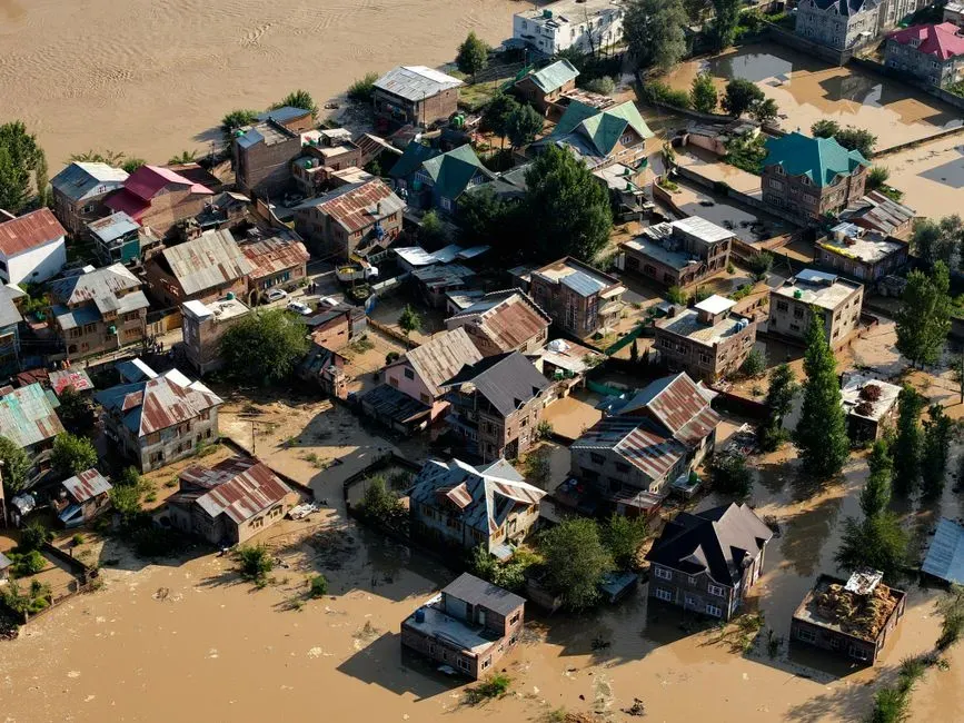
Historical maps of the Netherlands and neighboring low countries are notorious for showing villages and parishes on land that, today, are literally under the North Sea or tucked into tidal estuaries. Catastrophic medieval and early modern floods, combined with subsidence and sea‑level rise, famously drowned entire areas, leaving only scattered islands and newly drawn dikes behind.
Names of lost settlements still appear on some old charts, pinned to coastlines that no longer exist. Modern bathymetric surveys have identified traces of former peatlands, fields, and channels under the water where these places once stood. Whenever I see one of those antique maps with a familiar Dutch name now missing from modern atlases, it feels like a tiny obituary for a village that was literally written out by the sea.
#14 Prehistoric Coasts Now Hidden on Continental Shelves Worldwide
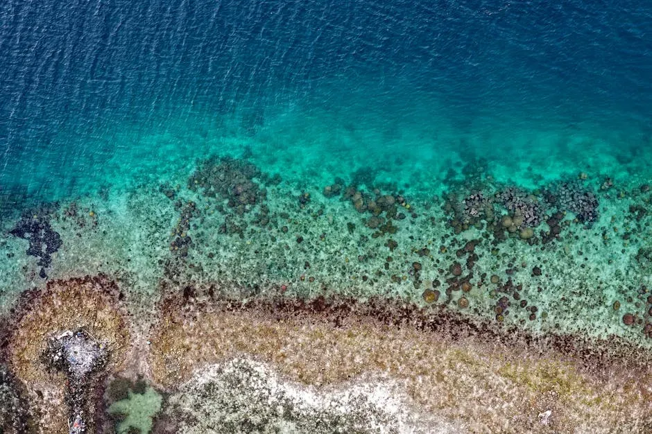
Beyond these named places, many ancient maps and reconstructions of early geography sketch coastlines that are now known to be far inland relative to the modern continental shelf edge. During the last glacial maximum, sea levels were dramatically lower, exposing vast swaths of what are now shallow seas. Later coastal communities would have lived on shorelines that are currently dozens of kilometers offshore, out of sight and mostly out of mind.
Sonar mapping and underwater archaeology on continental shelves off Africa, Asia, Europe, and the Americas are starting to reveal channels, dune fields, and even possible cultural sites that match this older coastal world. We don’t have detailed “ancient maps” from that era in the literal sense, but every old world map that shrinks the ocean just a bit hints at this deeper reality: today’s coastline is only one temporary frame in a very long film of land and sea reshaping each other.
Conclusion: The Coastline Is a Story, Not a Line
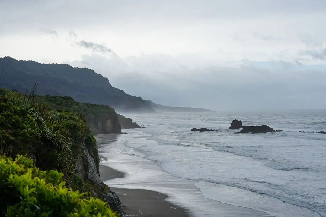
For me, the most unsettling and inspiring thing about all these underwater coastal sites is that they turn the map from a fixed truth into a living story. Ancient and early modern cartographers drew confident shorelines that we now know were already in motion, sometimes vanishing beneath the waves, sometimes creeping outward, always changing faster than ink could keep up. Those ghost ports and drowned peninsulas are not mistakes; they are snapshots of a coastline caught mid‑sentence.
In an age when we talk a lot about rising seas and climate‑driven change, these examples feel less like curiosities and more like warnings carved into the seafloor. Entire cities, trade networks, and cultures once bet everything on coastlines we now know were temporary. My opinion is blunt: if we still treat today’s shores as permanent, we’ve learned almost nothing from Doggerland, Port Royal, or the lost harbors buried beneath modern tides. So next time you look at a map, will you see a solid edge of the world – or a fragile border that the ocean is already rewriting?