When lakes shrink back and rivers run low in autumn, the landscape suddenly starts telling secrets. Shorelines crack open, mudflats appear, and out of nowhere you see stone walls, roads, even entire villages that spent most of the year hidden under the water. It feels a bit like the world has hit pause on time and then quietly pressed rewind. What makes these hidden structures so fascinating is not just how they look, but what they say about climate, history, and how we use water today. Droughts, dams, and seasonal drawdowns are exposing things people never expected to see again in their lifetimes. Some of them are eerie, some beautiful, some uncomfortably honest about human impact on rivers and lakes. Below are thirteen types of structures that tend to appear . They are rooted in real hydrology, engineering, and archaeology – but they also tap into something more emotional: the strange feeling of watching the past literally rise from the depths right in front of you. —
#1: Drowned Villages Reappearing From Reservoirs
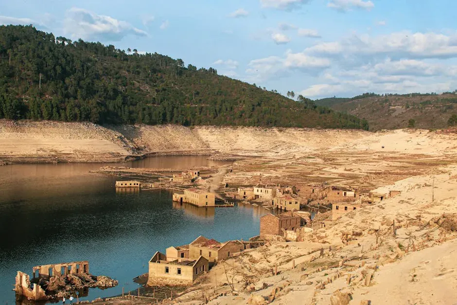
Few things are as unsettling as walking through the ruins of a village that normally sits on the bottom of a lake. Across Europe, the Americas, and parts of Asia, entire communities were flooded in the twentieth century to create reservoirs. In wet years, they’re just stories. In dry autumns, they become visible again: roofless stone houses, church walls, old streets cutting across the mud like ghosts of a town map.
This usually happens in man‑made reservoirs where water levels are heavily managed for drinking water, hydropower, or irrigation. When a hot, dry summer is followed by increased water use and evaporation, the reservoir volume drops. By early to mid‑autumn, the surface can be so low that the old settlement floor is exposed. The process is entirely predictable in engineering terms, yet on the ground it feels almost supernatural.
People react emotionally to these reappearing villages. Some are solemn, reading faded tombstones or tracing doorways with their fingers; others treat it like an open‑air museum. There’s also tension: these places exist because someone once decided that one community’s sacrifice was worth another community’s water or electricity. When the ruins return in autumn, that decision suddenly feels present again, not buried in archives but written into the exposed earth.
- These villages are typically revealed in artificial lakes, not natural ones.
- Their reappearance is tied to seasonal drawdown and drought, not magic.
- They often trigger renewed debate about past dam and reservoir projects.
—
#2: Medieval Bridges and Fords Exposed by Low Rivers
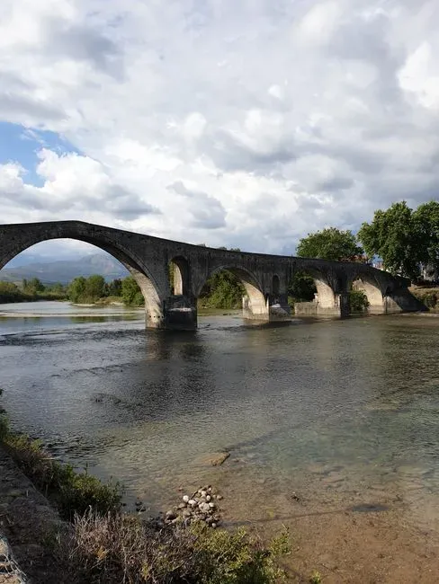
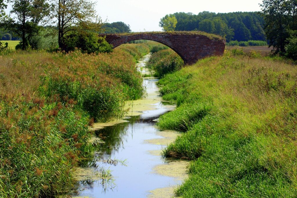
In many old river towns, you can stand on a modern concrete bridge in autumn and see the broken stumps of something much older poking out of the low water. Those are often the piers of medieval stone bridges or even remnants of wooden crossings. For most of the year they lie below the surface, quietly affecting the river’s flow but invisible to anyone who is not mapping the channel.
Rivers naturally fluctuate, but guided by dams, locks, and upstream withdrawals, their seasonal range is now often exaggerated. After a dry summer, discharge can drop to a fraction of spring levels. As the water shallows, submerged masonry becomes visible, sometimes complete arches reaching just below the surface. In extreme low‑flow years, ancient fords – hard rocky patches once used to cross on foot or by wagon – reappear like old road scars in the riverbed.
These structures are invaluable for archaeologists because they reveal how people moved and traded before modern infrastructure. A ruined pier in the middle of a channel tells you where the main crossing once was, and often explains why a town sprang up exactly at that bend in the river. When the river runs high again in winter, the evidence disappears, which is why autumn low water has become an unofficial field season for river archaeology in many regions.
—
#3: Submerged Roads and Old Highway Lines
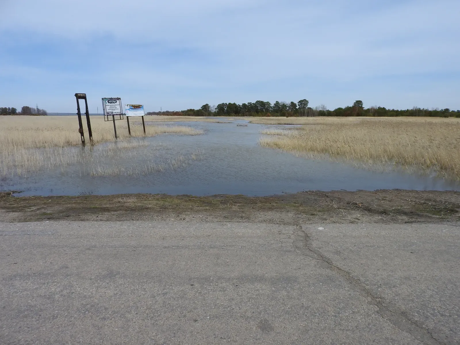
There is something deeply surreal about seeing a dashed white centerline extending straight into a lake. As reservoirs drop in autumn, entire strips of tarmac appear: roads that used to connect farms or towns now drowned by dam projects. You can sometimes walk along these roads for hundreds of meters, passing faded lane markings, cracked asphalt, and occasional traffic signs half‑buried in sediment.
These roads are more than curiosities; they provide a cross‑section of how landscapes were reorganized when valleys were flooded. Civil engineers often left parts of the old networks in place, assuming they would remain unseen under stable water levels. When multi‑year droughts or aggressive drawdowns hit, that assumption fails and the old alignments re‑emerge. It feels like a glitch in time: yesterday’s infrastructure overlapping with today’s shoreline.
In a strictly scientific sense, these roads help geomorphologists and hydrologists too. Their known construction levels and materials can be used as reference points for measuring sediment accumulation, shoreline erosion, or past water levels. But the average visitor doesn’t think in terms of benchmarks. They see something far simpler and more visceral: a road that once led somewhere, now heading straight into nowhere.
- Reservoir drawdowns in late summer and autumn expose these flooded roads.
- They can serve as handy markers for past water levels and sediment depth.
- They visually compress decades of land‑use change into one striking image.
—
#4: Ancient Temples and Shrines on Former Hilltops
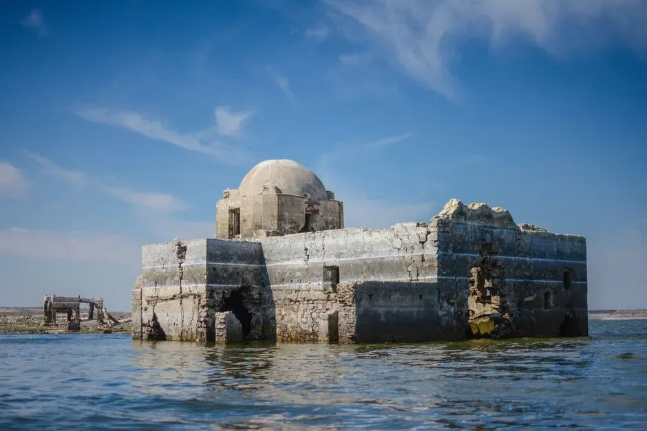
Before a valley is flooded to create a reservoir, engineers and planners understand exactly which elevations will go underwater. Historically, sacred sites such as temples and shrines were often built on higher ground, on hilltops or ridges. Ironically, these safe locations became islands and then fully submerged peaks when the water rose. In long dry spells, autumn lows can again reveal the steps, plinths, or columns of these old spiritual places.
The structures that emerge tend to be built from robust stone, which survives immersion much better than wood or brick. Their decorations may be worn, but floor plans and key architectural elements often remain. For historians of religion and architecture, this offers a rare, if temporary, chance to study sites that are otherwise nearly inaccessible. They have to move quickly: a few autumn weeks of exposure may be all they get before winter rains refill the reservoir.
For local communities, the re‑emergence of a temple brings a complicated mix of nostalgia, pride, and loss. Pilgrimages sometimes resume on a small scale, with people climbing down muddy slopes to leave offerings on stones that have not seen daylight in years. Others view these visits with unease, arguing that a shrine built for one landscape cannot simply be transplanted into another shaped by modern dams and climate stress. Autumn turns the whole debate into something tangible – you can stand at the waterline and literally see the trade‑off.
—
#5: Old Field Boundaries, Stone Walls, and Terraces
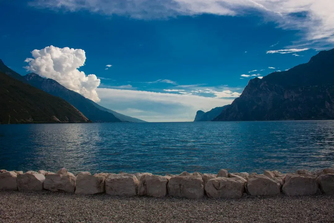
Look closely at the exposed edges of a shrinking lake in autumn, and you often start to notice patterns in the ground. Low stone walls, straight embankments, or neat steps cut into slopes appear where you might expect only chaotic mud. These are former field boundaries and agricultural terraces, built to organize land and control erosion long before the area was flooded or permanently saturated by rising water tables.
Terraces in particular are a goldmine of information about past farming methods. Their height, spacing, and orientation reveal how people managed rainfall, soil depth, and slope stability. When water recedes, the terraces become visible again like contour lines carved into the hillside. In some places, you can see where plow marks or irrigation channels once ran along them, now hardened into patterned mud and sediment.
From an ecological perspective, these structures matter because they continue to influence how sediment, nutrients, and seeds move around the shoreline. Even submerged, they shape micro‑currents and pockets of habitat; when exposed in autumn, they guide how vegetation recolonizes the zone between low and high water. In other words, the ghosts of old farms are still steering the shore, just more quietly than before.
—
#6: Timber Foundations and Wooden Piers in Lakes and Estuaries
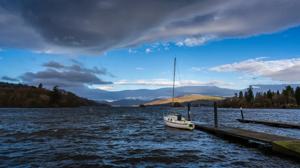
When the level of a lake or tidal river drops in autumn, what first looks like random sticks jutting out of the mud may actually be the remains of wooden piers, docks, or even prehistoric trackways. Timber survives surprisingly well in low‑oxygen underwater conditions. Once exposed to air, however, it can deteriorate quickly, which is why these autumn showings are both exciting and urgent for archaeologists.
Many old harbors and lakefront towns relied on heavy timber crib foundations, essentially boxlike frames filled with rocks to support wharves and warehouses. In normal conditions these remain just below the surface, invisible beneath murky water. As levels fall, you can sometimes see full rows of square outlines, blackened by age, mapping out a vanished waterfront. It is like the skeletal street plan of a port drawn in wood instead of stone.
Some of the oldest wooden structures show up in wetlands and shallow lakes, where prehistoric communities built small platforms or causeways. These are extraordinary finds because they carry details of daily life: not grand monuments, but the infrastructure of moving goods, launching boats, and living at the edge between land and water. When autumn levels drop just enough, these fragments briefly step back into the present – before bacteria, sunlight, and frost start erasing them again.
- Timber lasts much longer underwater than in air due to low oxygen.
- Autumn exposure is a narrow window for documentation and conservation.
- What looks like random posts may actually trace entire ancient harbors.
—
#7: Shipwrecks Emerging From Reservoirs and Riverbeds
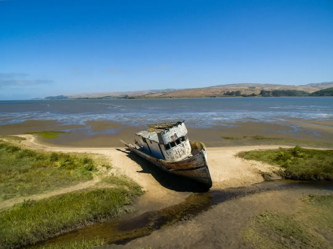
Autumn low water has an irresistible way of turning inland lakes into impromptu ship graveyards. Boats and barges that sank decades ago suddenly tilt out of the shallows, hulls cracked but still clearly recognizable. On wide rivers, low flows may reveal the ribs of old wooden cargo vessels at bends where currents once ran faster and deeper. Each wreck tells a different story, but their sudden appearance always feels cinematic.
From a technical standpoint, these shipwrecks are efficient time capsules. Sediment and cold water often preserve metal fittings, cargo remains, and construction details that would rot on land. Researchers can use them to reconstruct trade routes, local shipbuilding styles, and even historical flood events, because some vessels went down during extreme flows. When the river or reservoir dips in autumn, sonar targets on a survey map suddenly become objects you can actually walk up to.
There is a darker side, though. Increasingly frequent droughts mean these wrecks are spending longer and longer out of the water each year, which accelerates their decay. Wood dries and splits, metal corrodes, and souvenir hunters strip away artifacts. It is a paradox: the very conditions that make them visible also help destroy them. Autumn, in that sense, is not just story‑revealing; it is sometimes story‑ending.
—
#8: Roman Roads, Quays, and Harbor Works Along Coasts and Rivers
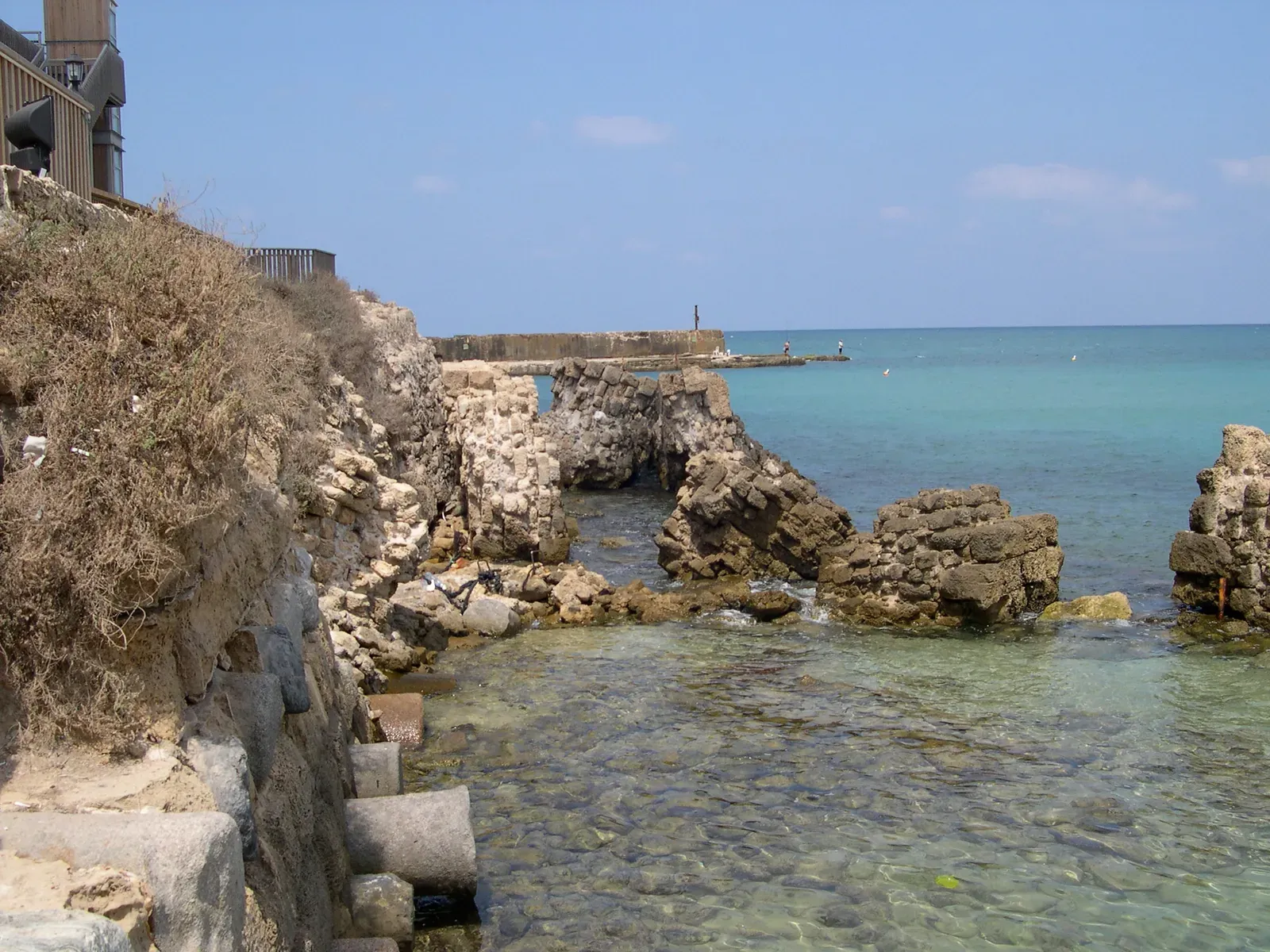
In parts of Europe, North Africa, and the Middle East, where Roman engineering once reshaped landscapes on a massive scale, dropping water levels reveal a hidden lattice of stonework. Quays, breakwaters, and even sections of straight, paved roads reappear along receding riverbanks or coastal lagoons. These were typically placed just at or below the waterline of their time, and relative sea level and river regimes have shifted enough that they now sit underwater for most of the year.
Autumn is crucial because reduced river discharge and calmer wave conditions can strip away silt and algae that otherwise carpet these structures. You might see precisely cut blocks forming a straight edge into a river channel, or logical alignments of stone that once guided ships into protected basins. To an untrained eye they may look like random ruins, but their geometry – right angles, smooth surfaces, repeated spacing – gives away their engineered nature.
What makes these features compelling is how unapologetically practical they are. They were built to solve very concrete problems: mooring vessels, loading cargo, stabilizing banks. Yet when modern hydrology pushes water down in dry seasons, they gain an almost theatrical quality, staging a short‑lived performance of the past before being flooded again. You realize that today’s ports and river defenses are just the latest layer in a millennia‑long series of experiments along the same shorelines.
—
#9: Fish Weirs, Stone Traps, and Traditional Fishing Structures
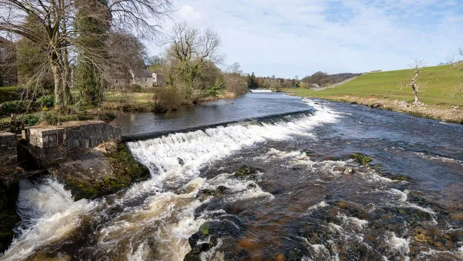
Many rivers and tidal zones around the world once bristled with low‑tech but highly effective fishing structures. People arranged stones into V‑shaped walls, wooden stakes into fences, or woven baskets into tidal channels, all designed to guide fish into capture zones as water levels rose and fell. Most of these systems sit under the surface or blend into the bottom during high water. When late‑season lows expose them, they finally make sense as deliberate patterns rather than natural clutter.
These weirs and traps are textbooks of indigenous and traditional ecological knowledge. Their placement reflects a deep understanding of currents, seasonal migrations, and spawning behavior. You can see how builders exploited very specific flow paths: a narrow side channel, a sharp bend, or a shallow ridge. In some regions, the rhythm of their exposure – appearing in autumn, disappearing again in winter – once matched the rhythm of particular harvests.
Modern river regulation, industrial fishing, and legal restrictions have eliminated or outlawed many of these structures. When their foundations emerge now, they are often dismissed as quaint relics. That is shortsighted. They embody a style of fishing that was selective, place‑based, and constrained by nature’s own timing. In an era of overfishing and ecological stress, the reappearance of stone weirs in low water is less a curiosity and more an uncomfortable reminder that we once knew how to work with rivers instead of against them.
- Stone and stake weirs are usually visible only at the lowest seasonal flows.
- Their shapes – often V or U patterns – are optimized to channel fish.
- They record centuries of intimate, empirical knowledge of local rivers.
—
#10: Foundations of Relocated Towns and Farmsteads
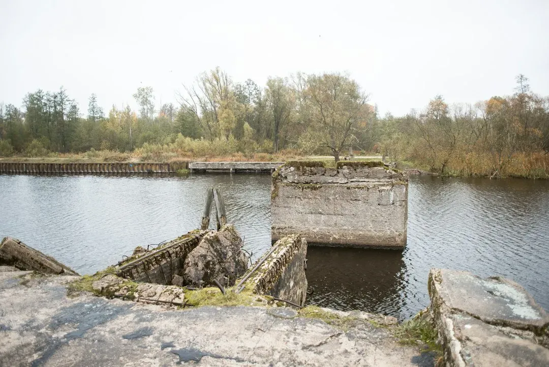
When large dams are built, entire towns are sometimes moved uphill or to nearby plains. The visible story is the shiny new settlement, with its fresh streets and modern utilities. The part we forget is what remains behind: the stripped‑down foundations, cellars, and outbuildings left on the valley floor. Under normal reservoir levels, they are buried by water and sediment. In dry autumns, they return in fragments – rectangular outlines, staircases to nowhere, or lone chimneys jutting from cracked lakebed clay.
Unlike drowned medieval villages, these are usually relatively recent, often mid‑twentieth‑century in origin. That adds a jarring familiarity: concrete steps, modern bricks, maybe even the skeleton of an old barn roof. Walking across them, you do not feel like you are visiting a far‑off past; it feels like a neighborhood was evacuated last month and then quietly erased. People who grew up in the relocated town may be able to name exactly whose house once stood in each outline.
These exposed foundations raise awkward questions about sacrifice and benefit. The logic behind big dams – flood control, power, water security – is often sound at a regional scale. Standing on the bare slab of a former farmhouse in an autumn drought, though, the trade‑offs become much more personal. You see exactly what was traded for that reservoir: the layout of a kitchen, the path of a garden fence, the footprint of daily life. It is one thing to read about that in an environmental impact report; it is another to trip over it in the mud.
—
#11: Industrial Ruins, Mines, and Quarries Beneath Reservoirs
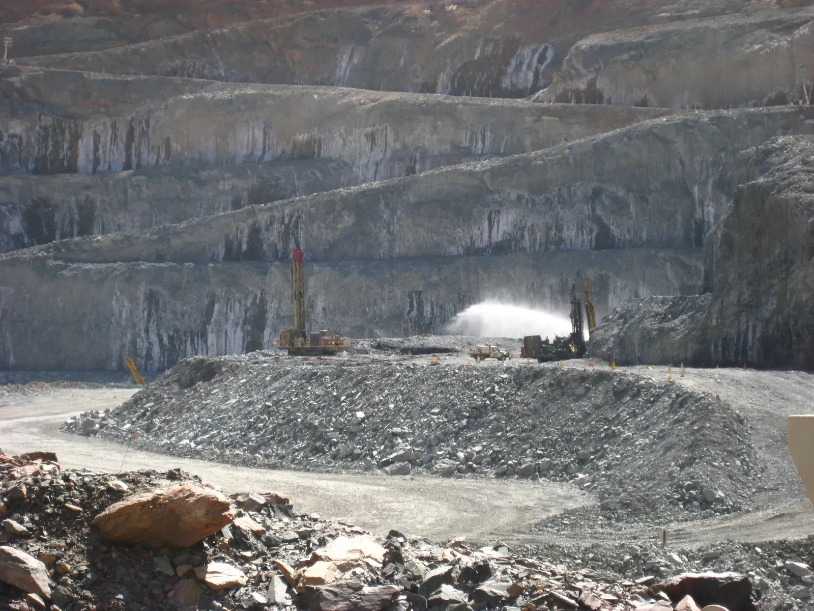
Not all submerged structures are picturesque or romantic. Some of the most striking reappearances in autumn are brutally industrial: mine entrances, conveyor supports, flooded quarry terraces, and skeletal remains of processing plants. These often sat in low‑lying areas that were later flooded for tailings storage or water supply. When drought or heavy water withdrawals lower the levels, the infrastructure of extraction reasserts itself in stark, angular lines.
Old open‑pit mines are particularly dramatic. Terraced benches, haul roads, and submerged platforms re‑emerge step by step as water drops, like a giant amphitheater built for machines rather than people. In some cases, brightly colored mineral deposits stain the exposed rock and sediment, a visible reminder of how chemically active these landscapes still are. The autumn reveal can even expose rusting barrels or pipes, hinting at residual contamination.
From a scientific perspective, such exposures are double‑edged. On one hand, they allow geochemists, hydrologists, and engineers to assess the stability and pollution risks of old workings more directly than sonar or models ever could. On the other hand, they also sometimes show how incomplete past cleanup and reclamation efforts really were. A low reservoir in autumn becomes a kind of progress report – whether or not anyone wanted one.
—
#12: Forgotten Recreational Infrastructure: Piers, Bathhouses, and Camps
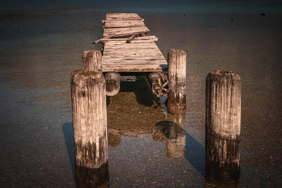
In many lake and riverside regions, the twentieth century brought waves of leisure development: holiday camps, marinas, bathhouses, and elaborate piers. As water management changed or tourism shifted, some of these facilities were abandoned and eventually flooded by raised water levels or shoreline reconfiguration. When autumn exposes the old recreational edges, the contrast can be oddly melancholy: rusted ladders leading into puddles, pier footings surrounded not by swimmers but by reed‑choked mud.
These structures might not seem as historically significant as temples or ancient harbors, but they tell a very specific story about how societies learned to treat water not just as a resource, but as a playground. You can often see distinct design choices – broad steps for sunbathing, diving platforms, fenced‑off kids’ zones – that map directly onto cultural attitudes toward risk and leisure at the time they were built. As water lines fall, those choices become readable again in concrete and steel.
There is also a quiet warning in these crumbling amenities. They remind us how quickly the “normal” use of a lake or river can flip. A bay that once hosted paddle boats may now be part of a drinking‑water intake, while a former campsite sits under a fluctuating reservoir margin. When the water recedes and the skeleton of the old funfair returns each autumn, it poses a blunt question: how sure are we that our current plans for this shoreline will still make sense fifty years from now?
- Old leisure structures surface when water levels drop below mid‑century shorelines.
- They visualize changing cultural values around safety, access, and tourism.
- Their decay hints at how fast lake and river uses can be rearranged.
—
#13: Bridge Footings, Utility Crossings, and Hidden Engineering
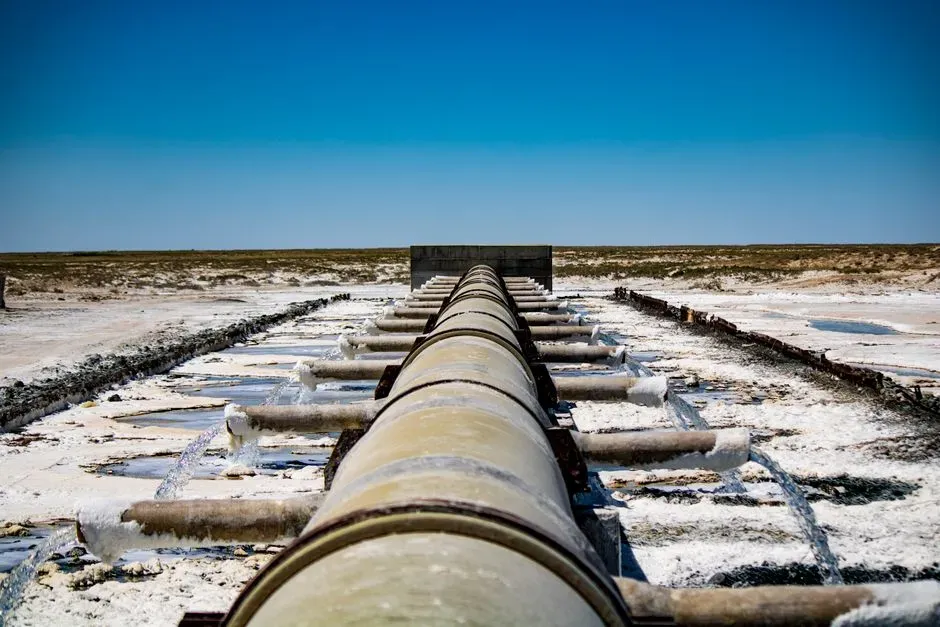
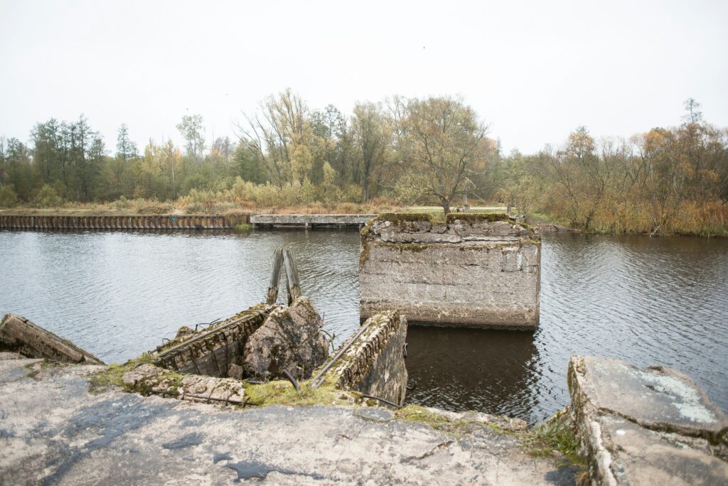
Finally, some of the most revealing structures to appear in autumn low water are the ones that were never meant to be noticed at all: the engineering underbelly of our modern systems. When rivers and lakes drop, the footings of bridges, the concrete collars of buried pipelines, and even the armor around submarine cables can become visible. It is like seeing the foundations of a city’s circulatory system laid bare for a few weeks.
These exposures matter because they show how closely our infrastructure hugs the edge of hydrological comfort zones. Many were designed based on historical flow records that assumed certain minimum depths would always be available. As climate patterns shift and extreme droughts become more common, that assumption is visibly failing. A gas pipeline that was supposed to sit well under the riverbed may now lie fully exposed in dry air during autumn lows, inviting damage from debris, vandalism, or simple wear.
From a personal point of view, I find these glimpses both reassuring and unsettling. Reassuring, because you realize just how much careful thought went into anchoring bridge piers against scour, or stabilizing banks around water intakes. Unsettling, because the design margins we relied on are literally sticking out of the water. The season that once quietly marked the approach of winter is now an annual stress test for some of our most critical systems, and the riverbed has become the scorecard.
—
Conclusion: Autumn’s Low Water Is a Truth‑Telling Season
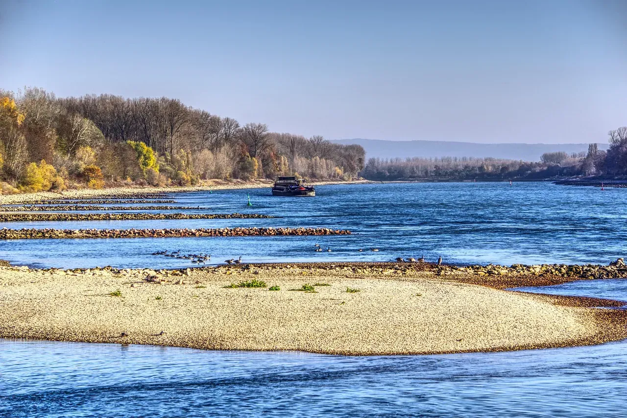
When you put all of these structures together – villages, bridges, temples, weirs, pipelines – you start to see autumn low water as more than just a seasonal quirk. It is a kind of x‑ray of our relationship with rivers and lakes. Every time the level drops, the landscape briefly turns transparent, showing what we chose to bury, what we forgot, and what we assumed would never be seen again. In a warming world, those assumptions are aging fast.
My own view is that we underestimate how politically and emotionally charged these reappearances are. It is easy to talk about reservoir curves, drought indices, and engineering safety margins in abstract terms. It is much harder to stand on the cracked mud of a former main street or stare at an exposed pipeline and pretend everything is under control. Autumn is starting to feel less like a gentle slide into winter and more like an annual referendum on how we manage water, memory, and risk.
That does not mean we should romanticize every ruin or panic at every low lake. It means we should pay attention. The structures that surface when the water drops are not random curios – they are feedback. They tell us where our models were too confident, where our histories were too tidy, and where our priorities might need to shift. Next time you see a stone wall, road stripe, or bridge footing suddenly appear in autumn, it is worth asking yourself: what else is lying just below the surface, waiting for the water to fall?